Reusserland
  • Links
  • Sewing
  • Music
  • Travels
  • The River House
  • Top Secret

RV Trip 2025: Homeward Bound

3/6/2025

0 Comments

 
We took 4 days to drive home. We stayed overnight in Albuquerque, Oklahoma City, Sullivan, MO, and Bloomington, where we stopped to have dinner with our son Thomas.

I forgot to snap a photo of him during our visit! But here is his official school photo. That's pretty much how he looked at dinner.
Picture
The drive home was very pleasant with one scary exception. Just outside of Terre Haute, our leaf spring failed, the camper fell down on top of the wheel, and the friction ate into the tire and created a massive amount of rubbery smoke. All at 65 mph.

Scott managed to pull off into the berm, but because it was so narrow, we were 2 feet max away from the absolutely constant torrent of semis passing at top speed. On the other side of the guardrail was a steep hill. It was pretty frightening.
Picture
Adding to the stress was that I could not find anyone to tow us. The only place that came close turned out to be some kind of scam; I was on the phone for an hour giving a total of 4 different people with heavy accents a ton of information (some about the camper because they were completely ignorant and some about my contact and credit card info) and lots of money (nearly $800). My alarms were buzzing 15 minutes into the first call, but I felt desperate, so I went through with it until it was apparent they were not coming anytime soon or, more likely, ever. I finally told them to cancel it, which didn't go down too well with them, but hopefully, since we used a credit card, we should be able to recover our money.

They were either total scammers or possibly middlemen scammers, i.e., they would get people on the phone who needed tows, take their money, pretend they were coming, call actual tow companies, and take a cut. Who knows? But since I called 6 real tow companies who all said they didn't have the equipment to tow us, the scammers would never have found a tow company either, so they would eventually be asking for even more money and taking even longer.

But at some point Scott said he thought he could rig a temporary fix good enough to get us to the repair shop. He used the wood he props the hitch up with to prop the camper up above the wheel, and then he drove slowly to the shop we had lined up; it was only 6 miles away, thank goodness. It was nerve wracking but such a relief that his fix could  get us to the shop and save us having to find a tow!

​This shop, ​Burke Spring & Alignment, in Terre Haute, IN, was fantastic! They were super friendly, and even though they were super busy, they looked at the RV right away and said if they had the parts in stock, they'd fix it the next day. Luckily, they had the leaf springs in stock and they were even better than the OEM models because they were beefier and could handle more weight. 

We got a hotel in Bloomington near Thomas and had hot showers before meeting him for dinner. We had a good steak dinner and a nice visit with him.

The rest of the trip, just 6 hours, was uneventful. And other than the leaf-spring failure, the drive home was comfortable.
A couple cool things we saw on the way were a few dust devils in Arizona and some hot-air balloons in Oklahoma City (I think).
He also snapped a couple pics of me in the car doing my passenger things.
Picture
Picture
Picture
Picture
​Right out of Tucson Scott saw something that amused him (and roused his respect) so he took a photo (yes, as he was driving).
Picture
We logged over 6,000 miles on this trip.
Picture
And guess what? We have already planned—and booked—our trip for 2026! On this next trip we will spend more time in Phoenix and Tucson. When we're done and heading toward home, we will detour a bit up to Kansas to visit a friend of Scott's for a day.
Picture
0 Comments

RV Trip 2025, Week 3: Tucson

2/19/2025

0 Comments

 
We are staying in Tucson for 9 nights!

Tucson: Departure

Good-bye, Arizona. We had a ton of fun.
Picture

Tucson: Day 9

Our last full day here in Tucson. Trying not to think of it.

We had coffee and decided to head out early to hike even though we'd be arriving at the trailhead at noon, in the heat of the day. I didn't want to get back to the campsite and have the day gone.

We went someplace new: Sabino Canyon. We did the Bear Canyon Falls Trail to Seven Falls. We hiked for 3.25 hours. It was a beautiful hike! I'm so glad we decided to try a new one.

We parked at the visitor center, which was packed. People were swarming all over. Fortunately, it was easy to find the trail we wanted looking at the map they had posted. 

The trail starts in a flat area; it's sandy and wide. There were a lot of people on it, but not so many as to be too off-putting. About half a mile in, the trail narrowed and headed up. The scenery was very nice—lots of saguaro and prickly pear, mountains in the distance, cool rocks on the ground. The only distracting thing was that this part of the trail ran along side of a blacktop road. It wasn't busy or anything, it's just I like to feel I'm a little more removed from civilization, I guess. 

After about 1.5 miles, we crossed a bridge where we saw a roadrunner, basically waiting until we passed to cross the road. Hahaha.  
Picture
Then the trail headed higher, not too steep. It was a little more rocky but still very comfortable. A little ways after the bridge, the trail turned into the canyon. It was fantastic! At the bottom of the canyon there are huge boulders laying across what would be a wide stream were there any water, of which there was none.

The canyon walls were lovely and the trail was fun to hike. Eventually we arrived at an impasse and the apparent end of the trail. This must be the famed Seven Falls, but none was evident today. 
We didn't see much wildlife except for a lot of lizards, all the same kind. Like over 20, always scurrying out of a crevice and away from the path right as we passed.
Picture
We sat for a bit next to a rock casting a shadow. It was so cool I was chilly after 5 minutes or so. Then we headed back

Scott wore his new running shoes. They're the same brand as my hiking boots (Topo) and have a wide toe box. He loved them and said it was like walking with a tiny masseuse inside his shoes the whole time.
Picture
​When we got back to the campsite, I took a shower and then we headed to Tierra del Sol for our last dinner. It was good! Then we had our last hot tub. We met another interesting couple, this time from Minnesota.
Picture

Tucson: Day 8

We had coffee and exercised. Scott went down to fill up the basketballs with air and shoot some hoops while I finished exercise.
Picture
Then we relaxed for a while and had an early lunch to kill time before heading off for another hike. We decided not to do it in the very hottest part of the day since it was already 80 and since we had a bit of PTSD remembering the heat of yesterday's hike.

While we were sitting outside, a roadrunner went by!
Picture
We did the Guindani Trail at Kartchner Caverns State Park, one of our favorites.
Picture
It was an awesome hike. It took us only 2 hours, which was good for my foot anyway. There was a nice breeze, so even though it was hot, we were comfortable. The climb was very steep (elevation gain is 900 ft) and at times a bit scary with the narrow, rocky path and the drop-off next to it. Scott says one wouldn't die if one tumbled down it, but I am pretty sure I would.

After climbing the summit and heading around and down the back side of the mountain, we were in shade. It was actually chilly then! But I wasn't complaining. 

The climb up is beautiful with the expansive view of the valley and mountains, and the climb around and down is a different kind of beautiful. There is lots more vegetation, beautiful rock formations, and the dry creek bed you crisscross several times. 
We got back around 6 so I made dinner. We ate, played cards, and lay down to watch some TV. We're rewatching For the Love of Dogs, a series not a movie, since one of us is usually asleep after 10 minutes in.

Tucson: Day 7

Ah, our trusty coffee maker. We love the coffee out of this thing. The only problem is that it takes a lot longer than drip coffee. But we've gotten a routine. 
Picture
First, Scott gets up earlier and he gets it going. Sometimes he comes back to bed while it percolates. It's usually ready by the time we want to get up, well, I want to get up. Scott is often up earlier. Second, we started filling it up the night before with water and coffee. I don't like to put the coffee in it too early, so I'll fill it with water in the am and add the coffee in the pm. See where this is heading? 

So today, we lay in bed while it boiled. I was ready for coffee before coffee was ready and Scott said "10 more minutes." I stayed in bed for a bit and when I got up, he said "2 more minutes." Finally, I had to have coffee. When I got up to get it, I realized no coffee had every been put in. But it was the cleanest, most boiled water in the history of water.

​After coffee, we took a bike ride around the campground. It's a beautiful day! Sunny and about 72 right now. Unfortunately, something big is on fire upwind and after about 20 minutes, the air was too awful to breathe, so we headed back to the RV. But then we went a little past it and biked over to an area of the KOA we hadn't seen before. It's cute: a basketball court, a short path, trees, a small pavilion with table and chairs, a lake, some horseshoe stations, and a racetrack for remote-controlled cars.

New license plates: Cherokee Nation, North Carolina, Delaware, Nova Scotia.

So then I said to heck with the foot, we must hike. We headed to Saguaro National Park to do the Bridal Wreath Falls hike we did last year. According to last year's post, we did it in 3 hours. I thought I could handle that. 

Well it was a stellar hike, simply beautiful landscape with mountains, cool rocks, varied cacti and trees, some lizards, blue sky, and warm temperatures. No water though. Last year, there was so much water in the stream on the down side of the dam that we had to scramble over some rocks to cross. This year, dry as a bone. There was a bit of rusty water in a pool just in front of the dam.
There is all kind of vegetation on this trail and in some places, it is much denser than the pictures make it seem. There are a ton of beautiful saguaros, as you might expect in the Saguaro National Park.
Actually, it was a little too warm with a little too much sun for me. I was feeling it. Scott was carrying plenty of water and we drank it. We got 1.5 hours in and we were still 2 miles from the falls. Something was wrong with my reporting skills last year or my reading skills this year. 

So we decided to head back. Good thing. By the time we reached the truck, we had hiked for 3.5 hours (having made it to the Steel Tank of the three-tank trail), and I was spent. My foot hurt. But it had been a beautiful hike and I'm glad we did it.

We decided to hit the KOA restaurant for dinner. Before going, we showered. When we were walking back and past the pool area, someone in the hot tub whom we had chatted with there a couple times—an artist and former architect named Dick Graves—called out "Is that Monica?" He said he had something for me. He had painted a watercolor of the pool area and wanted to give it to me! I almost cried I thought it was so kind and generous. It's a very nice painting and a sweet remembrance of our time here. 
Picture
Richard Graves, R. Graves Watercolors
After dinner I suggested taking a drink over to the firepits. The sun was just setting, and it was a very pleasant place to relax for a bit. Nice KOA.

Tucson: Day 6

After we drank coffee and Scott had breakfast, we exercised for a while. Then I had lunch and we got ready for a bike ride.

There are a lot of miles of paved bike paths in Tucson. It's just hard to tell for any given one you're considering what the scenery will be, how hilly it is , or how much it weaves across streets or goes by homeless encampments, decomposing buildings, or trash. The one we were on last year was nice but short before it got too steep for me to manage. 

So I researched it for a bit and found one that looked promising. On Traillink it's called the Canada del Oro trail, but once we go to the trailhead, it's called the Loop. There are no maps but fortunately Scott asked a couple of bikers which way we should go and they said the way we would not have gone. We rode 2.5 hours and it was a fantastic ride. 

The views were mountains on one side and fields on the other. In front of the mountains but generally obscured by a wall or landscaped ridge were beautiful homes or developments, some commercial buildings, golf courses, and a a ranch before it started to get more industrial about an hour in. 
I heard verdin a few times as we were riding and we saw two beautiful birds but didn't get pics, a phainopepla and a scarlet flycatcher!
Just as we were finishing, Thome called me for my birthday, and we chatted a bit.

When we got back, I practiced and Scott went to the pool to read and listen to podcasts. Then I cooked dinner and for my birthday, Scott wrote me a nice card and we had Haagen Das!
Then we started playing cards and Thomas called  for my birthday, and we chatted. For a movie, we started Little Dorrit. It's well-done, but it's like 8 hour-long episodes and Scott was asleep 5 minutes into the first one. So I changed to Would I Lie to You.

Tuscon: Day 5

Today, we got out soon after we drank our coffee. We headed to the Arizona-Sonora Desert Museum, which was about 30 minutes away. We wanted to see the raptor show the hot-tub couple told us about, and it started at 10. We arrived just in time. The guide told us to head down there asap to see it. 

Unfortunately, the museum was really crowded. Lots of others were headed to the show and they were all manner of slow walkers and baby carriages. We all arrived in plenty of time. But so many people. My worst nightmare.
Picture
Picture
But the show was super cool and it didn't matter that there were so many people. We saw three types of birds in total. First, was a great horned owl. Then was a caracara. (BTW, the bird we thought was a bald eagle in Mesa at Usery was definitely a caracara, not a bald eagle.) Finally, we saw Harris's hawks, four of them, because they live in family units and hunt as a pack.

In fact, we got to witness them hunting. The show consists of trainers spread out among the trees and brush off the path right next to the crowd. They entice the birds to fly down on the trees next to the path with little bits of meat. The Harris's hawks were doing their thing, flying from tree to tree, squabbling sometimes over one, but all of the sudden, they flew to the same point in the air about 10 feet above the ground, and then all together swooped down to the ground. One flew up to a branch and started tearing at the catch: probably a small bird. It was pretty cool.

So we got close up looks at these beautiful birds, plus we got to see them soaring above our heads. 
Great horned owl
Caracara flying
Caracara
Harris's hawk
Then we walked along the path through the exhibits: landscaping with all sorts of cacti, flowers, bushes, trees; animatronic dinosaurs, and animal enclosures. We saw javelinas, a beaver, a rattlesnake, a scorpion, a gray fox asleep in its den, an ocelot (no pic), and a bighorn sheep. 
Javelinas sleeping
rattlesnake
scorpion
fox sleeping
Bighorn sheep
Bighorn sheep
Beaver
Lots of cool geology, igneous and sedimentary. They had a cave exhibit and inside was also a rock museum. Lots of different copper ores, which are mined in Arizona, plus some meteorites and other cool rocks.
Can't anyone spell?
There were two bird enclosures, one for hummingbirds and one for regular birds. Neither had much wildlife inside. We saw as many birds outside as we did inside. We saw 1 hummingbird inside and 3 outside. Inside the aviary we saw a male and female hooded oriole and a bunch of white-winged doves. Outside we saw a cactus wren, and that orangetip moth we had seen at Usery Mountain.
I get that the enclosures need to be true to life so the animals can enjoy them, but sometimes it's discouraging like this promising sign located right next to the prairie dog enclosure.
We happened to be near the theater when the live-animal show was about to start, so we saw that too. We saw a Gila monster and some other related Mexican lizard and a spotted snake. The snake's coloration helps it blend in with the rocks where it lives, like in the picture below.
In the evening, we went to the hot tub, like for hours. Scott just loves the hot tub. We had company for about half of our time. Nice folks, but it was nice when we got to be alone. A beautiful night, and right next to the hot tub are beautiful palm trees.

Tucson: Day 4

Coffee, laundry, exercise, bike ride 45 minutes.  New plates: Quebec, Manitoba. Here are the ones we haven't seen yet: Alabama, Connecticut, Delaware, Hawaii, Louisiana, Maine, Mississippi, North Carolina, Vermont, and Virginia.

Here's the huge rig in the spot next to ours. 
Picture
Exercise pics that Scott took and told me to post.
Scott spent a few hours on the phone with Thomas while he worked, and we played cards. Then I practiced until they were done. After that, we went to the hot tub. We stayed until it was dark. It was a cool evening and the stars were out. Very pretty. Lots of activity in the hot tub. We met some interesting people.

To close the day, we ate dinner and watched a movie.  

Tucson: Day 3

Sadly, it was another day I had to rest my foot. The day was almost identical to yesterday: coffee, reading, exercise, an hourlong bike ride, then I practiced and Scott read by the pool. I have just barely enough room to practice in the camper. I'm not sure my form is the best though.
Picture
When I was done, I went to join him at the pool only to find him napping in the lounge chair. We did the hot tub for a bit. Half the time we were there, it was quiet. Then it got busy, but people were nice. 

After showering, we headed to the restaurant located in the KOA for dinner. Someone in the hot tub said they'd heard it was good. I should have ordered something different. Scott liked his wings and cheese sticks a lot. 

After dinner, we took another bike ride, this time probably 40 minutes. The mountains surround this area and are pretty. So even though we couldn't leave the campground, we got some exercise and it was pretty.
Picture
When we got back from bike riding, Scott read his phone and I wrote up this day. I hope he's going to play some cards!

Tucson: Day 2

We had a pleasant day, but unfortunately, we couldn't leave the campground or do too much because my foot couldn't handle walking.

We exercised in the morning and then went for a bike ride around the KOA. We went around and around for a little over an hour. It's fun to look at all the RVs, the campsites, the fruit trees. We picked some fruit as we were riding. Pretty cool, huh?
Picture
It's a big KOA!
Picture
Scott spotted some roadrunners! So cute. There were three but he was trying to photograph them from his bike. There are lots of mockingbirds here, too. It's fun to hear them. 
But then a new obsession befell me and I started looking at license plates. We spotted plates from 39 different states, including Alaska! Also, there were plates from Canada: British Columbia, Ontario, Saskatchewan, and Alberta.

I also love to look at the bullet-shaped Airstreams, and there are a lot here. There are mostly the big ones, the Classics, Internationals, Globetrotters, and Flying Clouds, but there is also a tiny Bambi. Other campers include mostly these enormous modern rigs that are as big as Greyhound busses, only these also have slide-outs to increase their square footage. There are also a number of Class-B van campers, the ones that cost like $150,000 and up, and some Class-C campers. Travel trailers as small as ours are few, but they are here. 
Picture
After our bike ride, we split up. I practiced and Scott went over and read by the pool. When I was done, I joined him and we hung out in the hot tub. Hallelujah, there was no one else in it for a long time, and when a few people did come and go, they were blessedly silent. 

Then we had dinner, one that is becoming a third favorite (after pasta-free spaghetti and Nando's): tofu red curry.
Picture
After dinner, it was cards and another cheesy rom-com.

Tucson: Day 1

We arrived at the Tucson KOA 40 minutes before check-in, but our site was ready so they let us check in!

Our site is okay. The location is half great, half bad. We are right by the entrance, so there is a lot of traffic. But we are right next to bathrooms, laundry, the pickelball courts, the pool, and the hot tub. Too bad I just learned Scott has zero interest in pickleball.
Picture
The campsite itself is nice. We have a tree. Unfortunately, there is no fruit on it! Lots of grapefruit trees on other nearby sites are visible.
Picture
Picture
After we set up camp, we headed out for lunch and grocery shopping. We ate 5 Guys and then I shopped in Sprouts. We got back to the KOA, went for a short bike ride (this place is huge), and then we saw the distant hot tub had only a couple people in it, so we jumped off the bikes and jumped in. Over the course of our time there (at least an hour), 6 other people were in with us. All very nice but heavens if this hot tub is not popular. 
0 Comments

RV Trip 2025, Week 2: Phoenix

2/11/2025

0 Comments

 
The second week of our trip is in Phoenix, Arizona. We will stay for 9 nights at the Mesa/Apache Junction KOA.

Phoenix: Day 9

Hey, today was kind of the opposite of yesterday. Yesterday we were going to play tennis and hike and we had to call it all off and take it easy. Today we had planned to take it easy with no hiking or tennis in order to rest my foot, but we got to do an amazing hike in a new park we found.

Scott got the idea to check out a local lake because it's featured on the new mural at Nando's—Saguaro Lake. We looked it up and discovered it's pretty close. So we decided we would drive out and, at first, we planned to only look at it from the car window.

So we got up, drank coffee, read, did our exercises, and rode our bikes around the campground for a while. Then we made lunch and headed out to Saguaro Lake Park. I did look up a hike just in case.

Saguaro Lake is located just past Usery Mountain Regional Park, about 20 minutes from it. The scenery was awesome driving through the mountains.
Picture
We drove to the park entrance and got out at the picnic shelters to have lunch. This place was gorgeous. Here's our lunchtime view.
Picture
Picture
Away from the water, the rock formations are beautiful.
Here is a view of a portion of the lake from a higher vantage point, taken as we were leaving this part of the park. The lake was formed by damming up a part of the Salt River, so it's not a uniformly rounded shape. It's more like a couple colons lined up one after the other. 
Picture
I felt I could handle a hike with my new shoes. I really didn't want to let the opportunity pass to check out this park. So we drove over to the trailhead of the Butcher Jones Trail. It's said to be a popular hike, and it was. It was about 1 pm and 75 degrees, so pretty nice conditions. The park was full of cars. There was a beach where people were actually swimming.
Picture
​Boats, kayaks, and fishermen were on the lake. We met plenty of people on the trail, but it was okay. 

I'm so glad we did this hike because it was amazing! A fun hike with stunning views.

The trail starts off level through some vegetation but is soon climbing the hill and hugging the lake.
The trail followed the lake for a good while, winding around its contours where it curved into little bays or opened up into wider views. The path was narrow, a bit rocky, and close to the edge. Somehow not too scary though. Then the trail turned back into the land. The scenery, the rock formations, and the cacti were varied and beautiful.  
Then we started climbing again. A hiker we met coming the other way told us we were close to the endpoint and the payoff view. She wasn't wrong. It was stunning!
We admired for a bit and then turned around and headed back.
The hike was 5 miles out and back and we did it in 2. 5 hours. Worth it!! 

And the day was still young. We came back to the campground and had a hot tub!
Picture
Unfortunately, we were not alone. Just one other fellow, but he was a talker. Actually some of his conversation was super interesting, but there was just a bit too much of it. And he was a loud talker. But we stayed for a bit and then headed to the camper for dinner; tonight, our standby.
Picture
After dinner, cards, some dark-chocolate-covered almonds, and then a movie. 
Picture
I have to admit that the movies we've been watching are 1 step above Hallmark movies. A little silly, but low stress and somewhat entertaining. Here are some of the beauts we've watched.

Phoenix: Day 8

A nice but a little bit of a disappointing day.

Yesterday I reserved a tennis court for us. I booked 2 hours so we could play as much as we wanted. The earliest time I could get was 11:30, so we had some time to kill after we got up. We drank our coffee, read, and exercised. We made lunches because we planned on going to Usery after tennis, having a picnic, and then hiking Blevins.
Picture
But, the best-laid plans. We played tennis for 40 minutes and I had to call it. My foot was killing me the entire time and finally I couldn't take it anymore. Sad because it was perfect weather for tennis, even at 12 in Phoenix. No wind, warm but not hot. I will say the noise was getting to me this day too. Little commuter planes fly continuously overhead, landing across the street at the airfield. They are low and extremely loud. Honestly, you look up and 3 or 4 planes are always in view approaching the airstrip with their path directly over whatever court you're on. Today, there was also a clinic going on and they were playing Michael Jackson over and over and loud. Actually not very pleasant.

So then we did a couple errands and headed back to the campground. I practiced while Scott headed to the pool to read. Then I joined him and we hit the hot tub. We had about 15 minutes of quiet and then some very nice folks stepped in and started talking. They were interesting--full-time RVers who told us about the Renaissance festival that happens every year right up the road from the KOA. 

Then, what the heck, we headed to Nando's for dinner. When got back, we watched a movie.
Picture

Phoenix: Day 7

After coffee, reading, and exercising, it was almost noon. Then we went hiking! We did Pass Mountain in Usery Park again. It was absolutely perfect weather, 72 degrees, sunny but with a thin coating of clouds so no overly hot sun, and a light breeze.

The park was crowded and even though this is a long, somewhat challenging hike, we crossed paths with more people than ever. A few times I felt I had to go fast to stay ahead of people, and in the end, we did the full hike in 3 hours and 15 minutes. ​
Picture
Picture
You never see too much wildlife, but today we saw more than usual. Driving in, Scott spotted a bald eagle flying. On the hike, he saw a beautiful green hummingbird at an orange-flowered bush and a white and orange butterfly. On looking them up, they turned out to be an Anna's hummingbird and a Southwestern orangetip, respectively. I spotted a few lizards. Those were the same species, an ornate tree lizard. I saw a a number of birds too far away or too fast so I could not identify them. Then I saw a bunny. That was a desert cottontail. We saw a couple chipmunks, which I looked up to find they are called cliff chipmunks (the photo of it below is someone else's).
And by the way, we saw a Gila woodpecker at our campsite today; he alighted on our electrical post and hammered away at the metal and then flew off before I could grab my camera. And on several days we have seen Gambel's quail and three kinds of doves: mourning doves, white-winged doves, and Eurasian collared doves.

I wore my new hiking shoes on the hike, and they were fantastic. One side bonus was I guess I felt more sure-footed because I wasn't nearly as frightened as I have been before crossing Nemesis Point or walking across the loose-gravely bits of the trail angled down toward the abyss.  My foot held up pretty well during the hike, though in the evening it was sore and more swollen than ever.
Picture
After hiking, we played cards, took showers, and ate dinner. Then we went for a bike ride around the campground for about 30 minutes. Then it was more cards and a movie before bed.

Phoenix: Day 6

Today, there was no hiking or tennis. I had to give my foot a rest. Since the soreness and swelling could be from too-tight shoes, both hiking and tennis, and we have been on our feet a lot, we got the idea to look for some better shoes. Scott had spotted a running shoe store next to the grocery we went to yesterday, so we headed there after coffee. 

They were nice and I found hiking shoes and tennis (pickleball really) shoes that are less restrictive than what I brought with me, so we bought them.

On the drive home, Scott snapped a picture of a cactus he thinks look like Patrick from Sponge Bob.

Picture
When we got back to the campground, Scott headed to the pool to read and soak up some sun. I exercised and practiced, and then we headed to the hot tub. We were in there a little too long. Scott was light-headed when he got out. 
​
Picture
We came back to the site, had dinner, lounged around, played cards, and finally watched a movie. Lazy day.

Phoenix: Day 5

After getting up, we took our time lounging around. Coffee, emails, news reading, exercising.

Then we went hiking. This time, we chose to go someplace new. We chose one of the other regional parks run by the same outfit (Maricopa County) that manages Usery Mountain Regional Park. The Maricopa system has more than 10 different parks located around Phoenix. The one we went to was San Tan Regional Park. We had an amazing hike!

The drive to the park was about double the drive to Usery, 45 minutes. We drove through vast desert that is being built into a new suburb. Phoenix is really packed with people. Suburbs galore, RV parks galore, and it's still growing.

San Tan is a different set of mountains. As we started hiking the Goldmine Trail, I worried it might be a dull hike because there didn't seem to be a ton of bigger vegetation. The terrain was very different from Usery but it turned out to be an awesome hike, winding up and down and around and around this set of mountains..

It started out with about a mile of flat sandy trail, after which it climbed straight up to the top of the mountain (these are very small mountains). On the map, it has a warning about the "extreme" steepness of the climb. Fortunately, the path was wide so it wasn't scary.
After you got to the top (I didn't climb to the tippy top, maybe next time, but Scott did. He said it was a nice view.
After descending that peak, the trail continues going down but it becomes very rocky and it was a challenge to keep from falling. That lasted for about a half mile and then it turned comfortable again. That's when the trail started winding around and through this mountain range. There was some up and down but nothing super steep. Views were beautiful, there were loads of cool rocks and land formations to see, and the weather was extremely pleasant. We met another great dog on the hike, and we saw a historical gravesite.
Like Usery, San Tan has a "tortoise habitat," complete with habitat but no visible wildlife. I think the sign is probably 100% accurate. It didn't promise tortoises, just habitat.
Picture

Phoenix: Day 4

Today we headed out earlier than usual to play tennis at 9 am at the Mesa courts. It was a beautiful morning, sunny, about 72, and not super windy. We played for 2 hours, and I had a lot of fun.

When we came back, we lounged a bit and then headed to the hot tub. We took some pina coladas along. Unfortunately, there was someone already there who was perhaps not quite right in the head. He was overly talkative and after hoping for about 20 minutes that he would get out, we decided to go.

I was researching some new trails to hike, and while I found a couple possibilities, they were 45 minutes to an hour's drive, and my foot was killing me so we never got out the door.

To round out the night, we took showers, did laundry, played cards, and watched a movie.

Phoenix: Day 3

We woke up and took our time to get going. We had our coffee and I updated this blog and did some final tax paperwork while Scott read, napped, and then exercised. When we were ready, we headed back to Usery Mountain to do the Pass Mountain Trail.

It was overcast and a bit chilly. We went prepared, and we had a great hike. Some parts of the trail were scary as usual for me, the worst being the part the locals call the saddle but that I have redubbed Nemesis Point.  Even after Nemesis Point there are lots of others scary parts where the trail is very narrow and a vast space stretches to the right. Inexplicably, there were a number of bikers on this trail.

​The views along the trail are amazing.
Park info says people take 5-6 hours to do this trail but that's nuts. It took us 3.75 hours and we weren't jogging it. 

After our hike we were pretty hungry and I hate to admit it, but we went to Nando's and had a great early dinner. 
Picture
When we got back to the KOA, we relaxed a bit and then had a long hot tub. Several couples came and went and we chatted with all of them. Before the heat got Scott, the chatting did, and we headed back to the camper and played cards then watched a movie before falling asleep.

Phoenix: Day 2

A great but exhausting day.

First we went for a hike at Usery Mountain Regional Park, one of our favorites. We walked the Blevins Trail and added parts of the Chainfruit, Talon, Cat's Peak, and Cat's Peak Pass Trails. There were many bikers, some hikers, and we even saw horses! We walked for 3 hours, it was wonderful, and then we had lunch.
At the top of Cat's Peak Pass, there is a bench. This time I read the plaque. It's in honor of a soldier who died at 22 serving in Afghanistan. It reads: "Spc. Wyatt Joseph Martin. From the deserts of Arizona to the deserts of Afghanistan. What we do in life echoes in eternity." 
We saw lots of cool birds. Only one could we identify: Harris' Hawk.
Then we headed to the Mesa tennis courts for our 3 pm reservation. We played for 1.5 hours. It was super windy, which was frustrating at times, and we were both playing in pain, but it was sunny and we still had fun playing. Scott came close to pulling a big muscle early but still managed to beat me two sets. 

Then we went back to the campground and had a long soak in the hot tub. 
Picture
Then we headed to Nando's for dinner! It was delicious as usual. We stopped by the grocery on the way home and then decided to watch a movie. Scott was out in about 10 minutes. I lasted another 20.  ​

Phoenix: Day 1

We left Boulevard before 9 and headed to Phoenix. It was a pleasant drive even though the Google sent us for an hourlong trek on a two-lane highway and a city street with stoplights all to save 4 minutes. Just stick to major highways, Google.

It was nearly 80 when we arrived at the Mesa/Apache Junction KOA. We really like our campsite! This KOA is packed tight, but it's Phoenix. Every place that can be is packed tight with RVs, most of them huge.
Picture
You can see the Superstition Mountains from the campground. 
Picture
We had our dinner outside, and later it was still warm enough to play cards outside. The sunset was pretty, and guess what? We got to sit in the hot tub for a long time after cards. There were two people in it already when we arrived, one getting out. Soon after,  another guy came, then a couple, then another couple. Oh my, it's popular.
0 Comments

RV Trip 2025, Week 1: Boulevard, California

2/5/2025

0 Comments

 
Our first week we stayed at the Boulevard KOA. It's about an hour east of San Diego. This KOA is located next to the Cleveland National Forest, where we could hike. There is a KOA right in San Diego, but I figured it might be in an icky area or too far from good hiking. In the end, it probably would have been better, though the Boulevard KOA was nice. Update: after a day in San Diego, I'm glad we chose to stay in Boulevard. Cities are draining.

Boulevard KOA: Day 7

OMG, we had an epic hike today. It was amazingly beautiful, and at times, extremely challenging. The hike was in the Laguna Recreation Area, an area which we have driven past on Highway 8 every day for the past week (excepting the day we did our taxes), unaware of what we were passing up.

It was absolutely beautiful. We got off Highway 8 at the Sunrise Highway. We drove for about 10 miles to get to the Penny Pines Trailhead, and the views were stunning all the way up. The pics below don't do it justice. There are several trailheads along the way and a few campgrounds as well.
We found the hike on a website called the Hiking Guy. He has the absolute best instructions, complete with a multitude of pictures at all the confusing points along the trail. There were a lot, but with his post, we followed it perfectly, with one exception.

It was a 12-mile hike and the expected duration is 5 to 6 hours. It took us 6. We took lunch and plenty of water, but unfortunately, we didn't take enough clothes. For the first 7 miles, we were fine. I was taking my sweatshirt off and putting it back on back and forth as we went through treed areas or direct sun.

The first part of the hike was easy hiking on a comfortable path through bushes and pine trees.
​
Then we came to Laguna Lake. It wasn't very full, but the area was beautiful.
Here we discovered where acorn woodpeckers get their name! We came across this amazing sight. The pine tree's bark is loaded with holes pecked by the woodpeckers and filled by them with acorns. The acorns covered this tree, going all the way to the top.​
Picture
We saw the cutest dog.
Picture
Two new birds we saw are a pygmy nuthatch and a bluebird of some sort. According to Merlin, it could have been a western bluebird or a mountain bluebird. Whatever it was, it was an amazing, electric blue. No time for a picture. These below are stock photos. (The pygmy nuthatch looks just like our nuthatch only smaller.) Also, by the by, twice driving to hiking we saw birds that I thought might be scrub jays flying. Okay, now that I think about it, I have no idea which of these blue birds we saw. Could have been any!
After the lake, we went for a while through pine forests and did more climbing. We started to get some views. We saw some charred trees, remnants of a forest fire. 
We saw some huge pine cones. 
Picture
Then we made the turn to Monument Peak​, which was a steep climb through scrub. The trail was clear. The views were stunning, when you avoided catching a glimpse of the huge cell tower at your back, so I'm glad we made the trek. Across the way you can see another facility with the white sphere. That's some Cold War radar detection system that is now being used by NORAD.
But after we got to the top of Monument Peak, things turned. The peak was at a high elevation, the sun was gone, the temperature had dropped to below 50, and the wind was blowing hard. Here's a cool chart from Hiking Guy showing the elevation gain on the trail.​
Picture
We were both in shorts, and we just wanted to get down off the mountain. We did pretty so quickly, but as soon as we did, we had to start climbing again for Hays Peak. I was so cold that I think I started to think a little recklessly. I was just moving ahead as fast as I could on a trail that was not clear. It was easy enough to walk through the shrubs to regain the trail so it was a quick climb to the top. Again, the views were stunning. ​
Hiking Guy said getting off this peak was the hardest and most confusing part of the whole trail. He was right. There had been a number of confusing junctures on the trail before this point, but his pictures and directions had steered us right every time. This time, we weren't so lucky. 

We headed down the peak. It was exceedingly steep. I felt I could have easily lost my footing and fallen over. The ground was rocky; it was really hard on the knees. We couldn't see a clear trail to walk on down the hill, though we could see our destination trail (Pacific Crest Trail or PCT) a little beyond the bottom of it.
​
Picture
We got about halfway down the hill and came to impenetrable shrub growth. Our legs were already scratched up and they would have been shredded had we tried to go through. Plus, we couldn't see the ground so we couldn't tell if we might get to an impassable rock edge beneath the growth. We had to go back up the hill and try again.

Scott found another potential trail. Unfortunately, it was on the edge of the cliff, but it did seem the way down. We took it and ultimately caught up with the PCT, but only after a few harrowing points on the descent.
We got back to the PCT and we were grateful, but were still freezing. We were moving fast to warm up, and then we saw one last point of interest suggested by Hiking Guy. We almost skipped it, but then we went back and did it—Foster's Point. It was a short stretch there and back to the PCT and it was worth the view. The plaque there has an embossed drawing of all the peaks you can see from this point, along with the distances to each, one of which was 38 miles away. Unfortunately, the plaque is worn down and the names and distances are hard to make out.
We walked for about 15 minutes and then stopped for lunch. I was still pretty cold. After a quick bite, Scott gave me his shirt so now he was in a tank top with bare arms, and we started walking.

​We had 2 miles left at this point. It was a pretty long 2 miles. We weren't all that tired of walking, just cold, and somehow we kept expecting it to be over but there was always another turn and more path and often it was up and down again and sometimes it was cliff-edgy. It was pretty, though, and there were some very beautiful views.
Finally, we completed the loop and made it back to the parking lot and the truck.
Picture
On the drive home, the sun was setting, and Scott stopped at a viewing point to snap a sunset.
Picture
Back at the campsite, we treated ourselves to some pina coladas and cards. 
Picture

Boulevard KOA: Day 6

Today we decided to head into San Diego. We had been planning to go to the zoo, I guess because it's so famous, but when we thought about it we realized that it didn't interest us enough. For me, I realized that one particular type of animal was too numerous: the human.

So we changed and went first to the USS Midway Museum. Scott wanted to see aircraft carriers. It was a cool experience.

The aircraft carrier itself is impressive as a massive technological achievement, but learning about the Battle of Midway and seeing where and how people lived and worked—and what they had to work with—while serving in the military and defending the country was pretty humbling and moving.  Scott read that the USS Midway was built in a hurry, just 17 months. It was completed though the week after World War II ended.

A couple things to point out before I do a photo dump.

One exhibit featured George H.W. Bush. He joined the military when he was 18 and a year later he was flying this plane in combat! Can you imagine? He was 19 years old flying this tiny machine in actual battles? Amazing. He names all his planes after Barbara.
There is a massive structure on top of the boat. They call it the island. It's where all the analyzing, strategizing, navigating, and steering goes on, plus it's got some captain's quarters that are pretty swanky for a cramped boat, complete with conference rooms and areas to entertain dignitaries.
Picture
When we were in the bowels of the island, we met some fellows who turned out to be ham-radio operators who were making use of the ship's antennas. Scott's friend Frank Roman is a massive ham-radio buff who also served in the Navy. So Scott sent him a photo and chatted with the guys, all self-described "nerds."
Picture
It's impossible to capture the scale (hugeness but also crampiness) of this ship. The flight deck, for example, is over 4 acres!
One other stop we had thought about making was to see any in-service aircraft carriers that might be stationed in the navy yard. From the map, it was a 20-minute drive, but it turned out you could see the ships from the USS Midway Museum!! They were just across the bay. There were two ships in port being worked on: the USS Abraham Lincoln and the USS Roosevelt. 
USS Abraham Lincoln (left)
USS Roosevelt
The differences between the USS Midway, which was last employed in the Gulf War (it was the lead ship in that war), and the modern aircraft carriers are not that great. The USS Midway was diesel fueled while the modern boats are nuclear powered, but their top speed is about the same. The big advantage of nuclear power is no need to refuel. Modern aircraft carriers are a little bigger and heavier.
Then we headed to the Mission Beach boardwalk. I was worried about being able to find parking, but it was super easy and free. We parked in the public lot at Mission Bay Park.

It was a short walk to the boardwalk. I guess we were near one end of it, next to Belmont Park.  The boardwalk is very nice. Lots of people were making use of it, walking, biking, skateboarding, peacocking, and proselytizing. The ocean was beautiful with lots of wave action. It was quite chilly with a constant wind, yet people were set up on the beach, kids were flying kites and playing in the sand, and surfers were in the water.
Picture
Picture
We walked along the boardwalk for about 15 minutes, but we were really hungry and also cold, so we stopped at a restaurant we had passed and got lunch. We broke down and ate lots of carbs but it was tasty. We sat outside (they had heaters) and the view was awesome. That is, until the end when a scantily clad runner chose the spot directly in front of us to do his post-run stretches. At any rate, by the end of the meal we were freezing. 
Picture
We headed out into the chill and wind and looked at each other and realized we had got the full experience. We don't really enjoy the city experience. We could have driven over to Balboa Park, it's well-recommend and not too far, but we weren't that interested. It was time to head back.

Boulevard KOA: Day 5

It rained all night and into the morning, and the day ahead looked to be the same. 
Picture
So we decided to drive to the grocery in Alpine, a drive of about 45 minutes, and to do taxes when we got back. Somehow, the day went by quickly. In the evening, we played cards and watched tv as usual.

On the drive Scott was admiring the way the colors of the landscape had changed because of the rain. By the time I got around to taking photos, the prettiest views had passed. But here are some photos that give an idea of the color. There is also a picture of a grove of trees we see on the drive that we like.

Boulevard KOA: Day 4

It was lightly raining this morning when we woke, and it was a little chilly. Here's the view of the campground from our camper as the sun was rising.
Picture
We decided to just hike today, so we packed a lunch and headed back to the same trail at Pine Creek. We planned to go a little farther on it today, maybe 2 hours out and 2 hours back. In the end, we made it 1.5 hours out and 1.5 back.

But I'm pretty sure along the way I saw bobcat footprints.
So the hike today was cooler and less sunny. It was about 55, and there were a lot of clouds in the sky. At first, the sun was shining and soon after we started the first climb I was regretting my long sweats and wind breaker and Scott was regretting his boots. Periodically the wind would blow and we would cool off. About an hour in, it got cooler and the clouds were perpetually covering the sun. All the shirts and jackets went back on.

Hiking was nevertheless quite pleasant and the views were awesome.
When we got to 1.5 hours out, we were still thinking of continuing. But the trail was descending after climbing for most of the time and we were approaching a fence along the highway. I saw a man fidgeting near it, and stepped out of sight. Scott saw him and said "let's turn around," so we did. I walked pretty fast up that hill. The fellow could have been a hiker, a biker, a ranger, a rancher, a local explorer, an illegal immigrant, or a vagrant, who knows? But I'm glad we didn't wait to find out.

After about 15 minutes, we stopped and had our packed lunch. When we got up, we were cold!  I bundled up as best I could.
Picture
Picture
We enjoy the views of nature, but there are a couple technological marvels to see as well. The highway through the mountains is visible in several spots, and there are couple of bridges that are quite astounding in their design and construction.
Picture
Picture

Boulevard KOA: Day 3

Today was a rinse and repeat of yesterday: tennis in the morning and a hike at Pine Creek afterwards. Tennis was fun, for me anyway (this time the hours and hours of $, practice, and instruction paid off, and I won all three sets). It rained last night so when we began playing, the court was still damp. But the sun came out eventually, and by the time we were done the court was dry.

We went on the same hike as yesterday—the second, longer, clearer one—except we went for twice as long. We walked an hour out and an hour back and it was extremely pleasant. The clouds were long gone, the sun was warm, and the views were beautiful. 

The trail was level at first, but in the middle it climbed gently up the small mountain. It wound around and opened into a new set of mountains where the vegetation changed to bigger and more numerous trees. 
The trail seemed rarely used. We were the only car in the lot yesterday and today. There were footprints and tire marks on the trail, but at first we saw no one on the trail. I worried about mountain lions and bears, and so I read the information on the park sign today, and it turns out there are a lot of bobcats in the mountains, mountain lions (though "rarely spotted"), and, get this, illegal immigrants. 

We had noticed some animal footprints here and there. The obvious source would be dog, but because the trail is so long and no one seemed to be on it, I worried they were the prints of something wild. To me, they never seemed to stay long on the trail; they'd appear briefly, as if the animal was crossing the path, not following it.

Scott started to wonder, and we decided to take pictures of any good prints we could find, especially those with obvious "claws," so we could research it later to figure out what animal had made them. We spent some time looking at the ground as we walked in search of good prints, took a few pictures, and were about to take another when we looked up and saw a man and his dog resting ahead. Right after Scott commented "nice dog," a biker rounded the bend and drove past us. 

As we passed the man, Scott asked him if he knew what had made the footprints we were photographing. "Probably dog," he said. "There are a lot of bobcats around, so maybe that." Then he noted the distinction that made our whole obsession more comical: "If you see claw marks in the print, it's a dog. If you don't see claws, it could be a cat." Ah ha. 

Boulevard KOA: Day 2

On the agenda: tennis and hiking. We headed to Pine Valley Park again for tennis, and for a hike we planned to check out one the trailheads we had spotted yesterday.

But first we took a walk around the campground. Scott visited his "soulmate," the male ostrich, and we got an up-close view of these plentiful birds that we determined are acorn woodpeckers. Very pretty with striking white and black feathers with a touch of red on the head. 
Picture
Isn't it funny? The ostriches won't cross that teeny tiny trench.
Picture
We arrived at the tennis court right when the park opened at 9:30 am. We had been playing for about 10 minutes when some other players arrived. Bummer. It's always stressful to play when you know others are waiting for the court.

We continued to play for about 3o minutes and then one of the players asked us if we wanted to play doubles. We said we'd just finish our game and then they could have the court. When we were gathering up our things, they asked again about doubles. They had only 3 players and invited us to play. Scott said he'd sit out, so I played for about an hour with them. They were super nice and it was fun to play doubles.
Picture
Then Scott and I had the lunch we packed and headed for the hike. It was called Pine Creek. It was down a long, windy, single-lane road. But it was a designated hike with a parking lot, an outhouse, and a sign. Someone had defaced the map on it with the comment "this map sucks," which turned out to be completely apt. Scott studied it for a while, got an idea where we were, and pointed us in the direction ahead.

In a few yards we discovered a trail marker labeled "Secret Canyon." There were two paths, but the marker seemed clearly to indicate the lower trail on the left.
Picture
We followed that trail for about 30 minutes. It was beautiful at first, but it became increasingly difficult to follow. Brambles hung over the trail, massive dead trees lay across the path, and sometimes the path disappeared and required climbing over rock outcrops and searching for the trail's continuation. Scott barely missed walking on buried barbed wire in two places. At a certain point, I said, "I'm done; this is no fun." And we turned and headed back.
When we got back to the trail sign, Scott said we should try the other, unmarked path right next to "Secret Canyon." It looked like a country lane of some sort, with tire marks of some sort (maybe just bikes), but also lots of shoe marks. So why not, we started on that path.

​It turned out to be amazing. It went on and on. It was easy to walk. And the views were incredible.

Boulevard KOA: Day 1

On the agenda today: tennis and hiking. We needed to locate places to do both.

I had scouted out tennis courts ahead of time and thought there should be some around, but when we asked at the KOA office, the worker could think of only one: Pine Valley Park, about 30 minutes away. So that's where we headed.

The park is beautiful, the court, not so much. There is only one, and it's not in good shape. It's level, which is great, the net is fine, but there are large cracks on both sides of the court.

Still, we were grateful to have it, and we played for two hours and had a lot of fun. The cracks interfered on occasion but not too bad. The setting is amazing; you look up and there are mountains all around. The worst part was Scott won all three sets, in spite of the thousands of dollars and hours and hours of time I spend playing tennis.
Picture
Picture
As for hikes, I have been used to finding them with the AllTrails app. But they must have made some "improvements" to it, and now I am finding it completely useless. We are in the Cleveland National Forest, so there ought to be lots of public hikes in the area, but I just couldn't find clear information on what is around. I did rely on AllTrails this day, however, and we found a trail not too far from the courts. It was in no way "official," but we found an area in which to park and a clear trail leading from it to the hilltop, so we gave it a shot. It's in the town of Guatay, and AllTrails had a few "Guatay-this" and "Guatay-that" trails listed, but who knows what this was. 

It led pretty steeply up the hill, leveled off for a bit and then started climbing again. It was quite pretty, but we got to the point where the trail was difficult to follow, and since we didn't want to get lost, we turned around and headed back. All in all, about an hour's hike.
As we turned back on to the road heading back to the KOA, I saw two different trailheads with big official signs. Good job, AllTrails. Not. 

​Boulevard KOA: Arrival

The drive from the truck stop in Gila Bend to our first KOA was around 4.5 hours.  It was pleasant. The landscape was flat and dry with mountains in the distance, small farms here and there, and what seemed to be a couple oases of palm trees. A little before we got to the mountains at the end of the journey, we saw big stretches of sand and big sand dunes on which people were driving dune buggies! Interesting terrain.
Picture
Picture
Picture
The mountains we drove into were super cool. Many peaks looked like giants' pebble piles.
Picture
Picture
​We arrived about 40 minutes before check-in, but they let us in anyway. The campground is quite lovely. It's in the mountains, it's got lots of trees, and the sites have a little room. The KOA is practically empty. The road in was windy but safe. We have a beautiful tree on our site, and the showers and laundry are right across from us. Maybe in my early years or maybe if the campground were full, it would be a disadvantage to be located here, but right now I think this is the best spot in the campground.
Picture
We walked around the campground and discovered...ostriches! They have a small park next door with farm animals, for which you have to pay $10 to see and show up at 11 am, but the only animals they have worth seeing are the ostriches, and they are out in the yard all the time where you can walk right up to them.
Picture
It turns out driving all the way here over the course of five days was pretty draining. Scott drove more slowly this time, always a bit under the speed limit, which was quite pleasant. But it was nice to open a bottle of wine and relax in the 65 degree temperature.
Picture
Picture
0 Comments

RV Trip 2025: Heading West

2/4/2025

0 Comments

 
Picture
This year, we're going to repeat our stays in Phoenix and Tucson, while for the third location we chose San Diego. Something new, something warm, hopefully.

We decided to maximize our time in each of the three locations, so we planned to drive straight through to San Diego, actually a KOA an hour east of San Diego in Boulevard, California.

​The plan was to start in Columbus to visit our daughter and then lay over at Cracker Barrels in St. Louis, Oklahoma City, Albuquerque, and Phoenix. Phoenix didn't work out in the end.. 
​
On the way home, it will be the same: we'll finish in Tucson, then it's a straight shot home, staying over at Cracker Barrels...or truck stops, which we discovered on this trip are pretty good layovers.

First Stop: Columbus, Ohio

Columbus is only a couple hours from home, but we left late after my rehearsal and intended to spend the night and have breakfast with Thome. It was a weekday, and she has to work, so she drove out to see us before Cracker Barrel even opened and we had coffee and a lovely chat. The time went fast.
Picture
Picture
Mishaps began early on the trip. As we were taking selfies, I knocked the coffee pot off the shelf.
Picture

Driving West: Cracker Barrels and a Love's

The stops in Fenton, Missouri (less shady outskirts of St. Louis), Edmond, Oklahoma (suburb of Oklahoma City), and Albuquerque, New Mexico, went according to plan.

We ate dinner at each and had a pleasant-enough night except for Edmond where a mini semi was parked with his engine on all night. It was a jerk move considering there was a Love's and a Flying J right next door with plenty of room.

When we approached Phoenix, I had a brainstorm: Why not eat at our favorite restaurant Nando's before heading to the Cracker Barrel? We did, and it was delicious.  The restaurant was easily 30 minutes from the Cracker Barrel, so Scott suggested staying at a nearby Walmart. When we double-checked whether it would allow overnight stays (no), we fortunately thought to check on the Cracker Barrel. It also would not allow free overnight stays, so we had to switch gears.

We decided to keep driving west and look for a truck stop. The first one we tried just outside of Phoenix was packed, so we got back on the road. The next one was in Gila Bend, Arizona. It was less busy, and when I checked with the manager, he said we could stay no problem. We parked in between a couple of quiet semis and had a great sleep. 

Surprise Stop: Petrified Forest and Painted Desert

I noticed that Petrified Forest National Park was on our route. I'd never seen it, and we had plenty of time, so we decided to stop. It was beautiful. We drove the 30-mile road through the park and stopped in a few places: several views of the painted desert, and Blue Mesa. 
0 Comments

Canada 2024

7/29/2024

0 Comments

 
Picture
We had a great trip. We arrived on Saturday, July 20, and left on Friday. We usually stay until Saturday, but the kids are getting older and have jobs to get back to. 

It was a typical trip and very relaxing. The highlights were
  1. A family of minks, one of which came within 2 feet of me one day, investigating the humans, I'd guess.
  2. It rained one night only, but it came down so hard. Fortunately, it was not windy. We all stayed dry, though the tent had a lake at the front and some bedding got wet at the bottom. Weather otherwise was sunny and around 75. 
  3. The games of the trip were backgammon and Code Names. Chess was played of course by all but me, and Thome played me Spit and Farkel. Backgammon was all the rage though; Thome taught Thomas and me to play and there were many games played. We played Code Names at night in the tent.
Mink Closeup
Picture
Morning after the Rainy Night
Picture
Code Names
Picture
Backgammon
Picture
On our last evening, the Other Reussers visited and we had a nice campfire, hot dogs, and s'mores.
Picture
Picture
Picture
Picture
When we arrived, Scott decided to shore up the deck a bit before we pitched the tent. He sure knows how to do hard stuff.
Picture
It helped and the tent was dry except the night it rained. Here's our tent setup.
Picture
Most of the usual activities occurred:
Swimming around the Island
Thome's Morning Dip
Kayaking
Boating and Fishing
Reading
Morning Coffee, Cooking, and Eating (no pictures)
Campfires
Games
Exercising
Sorry, I did it the least of anybody, but these are the only pictures. Hideous.
Chilling and Taking Pictures
The view from inside the tent is amazing. The moon would come up glowing orange, and one night it was full. 
Scott took pics of sunsets and sunrises.
Scott found the minks' home, and we saw 2 wolf spiders. One was in the tent and we couldn't usher it out so it had to be crushed. The other was outside and it was carrying an egg sack. Ugh.
0 Comments

Western Trip 2024, Week 3

2/18/2024

0 Comments


Tucson, Day 7

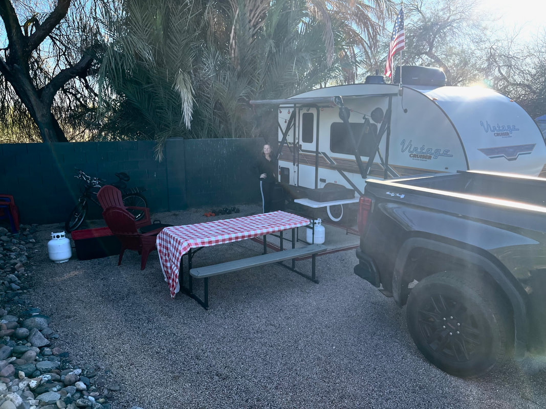
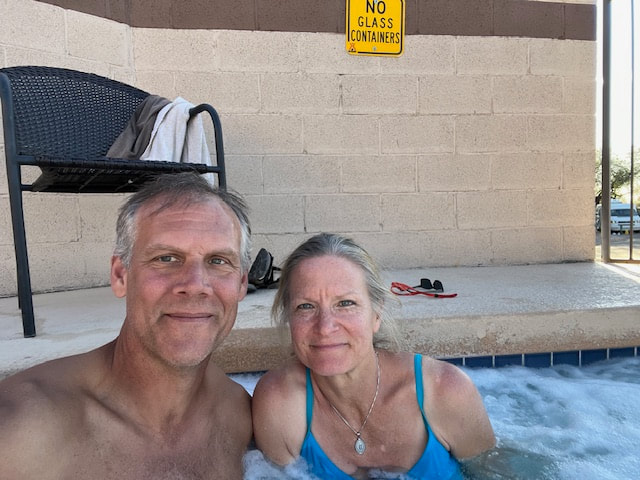
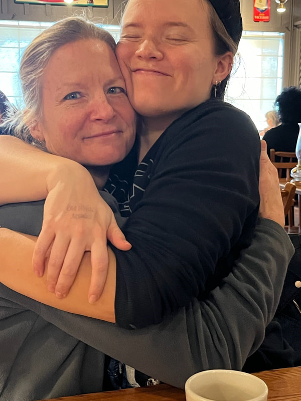
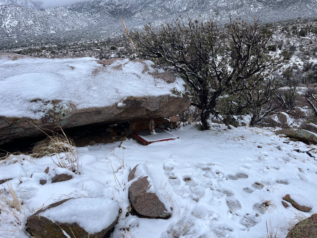
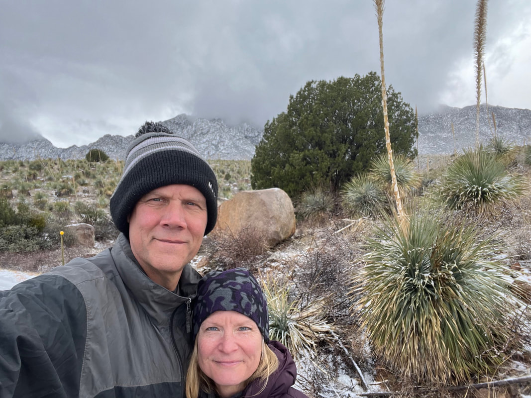
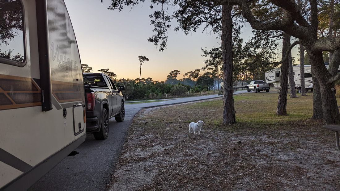
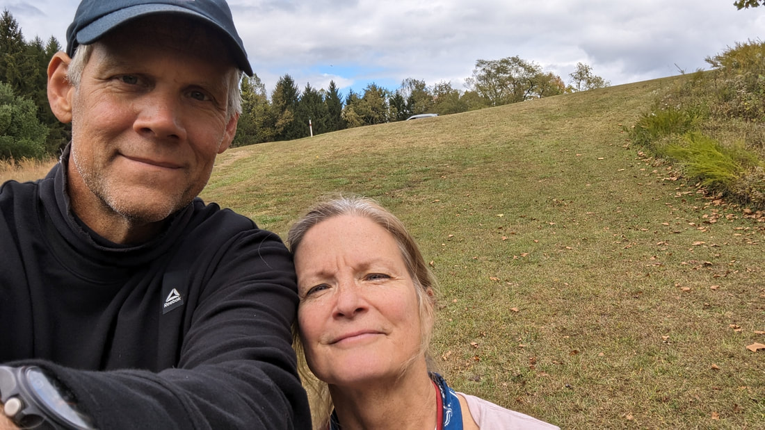
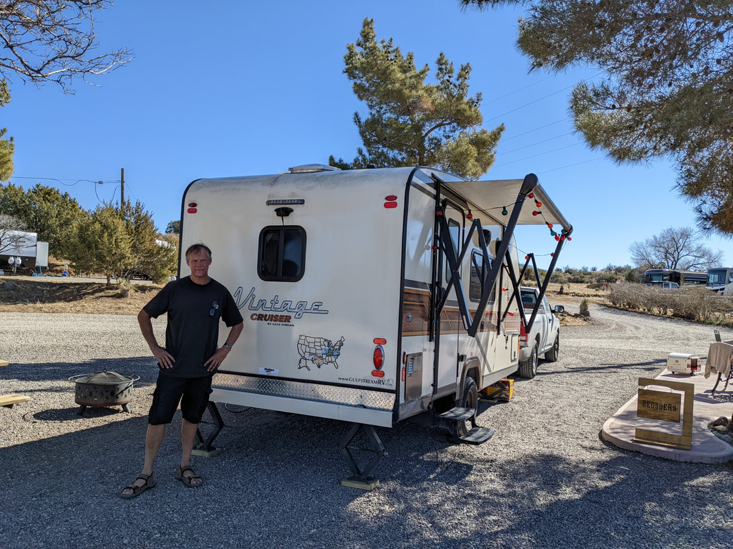
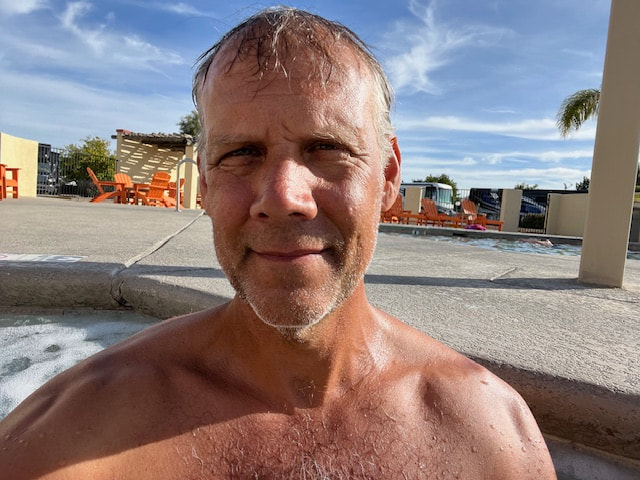
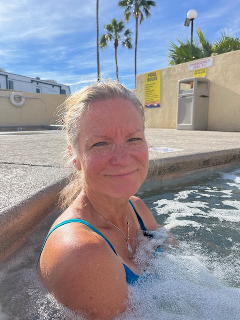
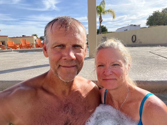
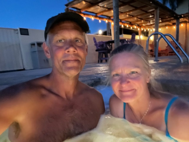
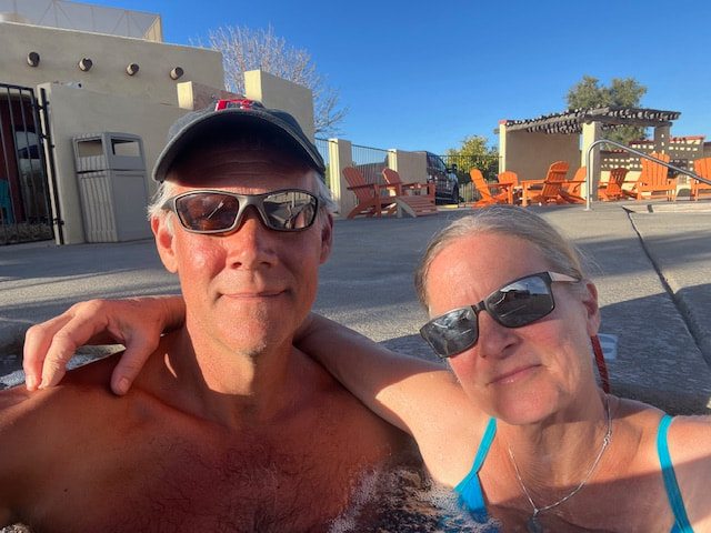
Leaving today, sad. We got up early and got everything ready to go. We realized we still had a couple hours before we had to vacate the site, so we decided to go for a final hot tub!
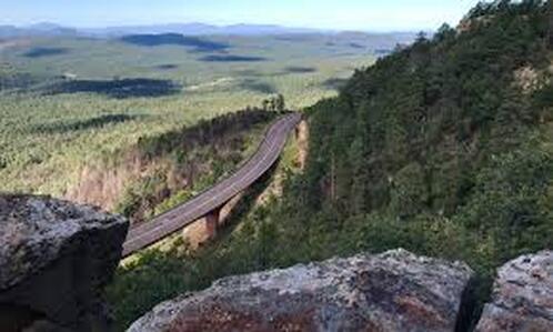
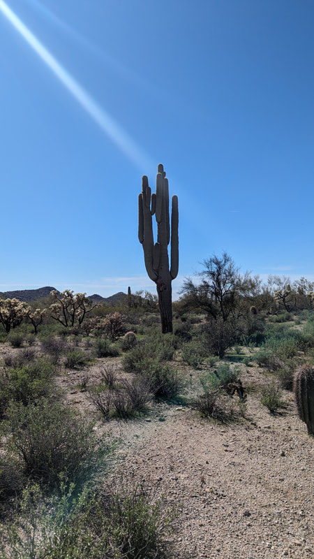
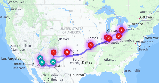
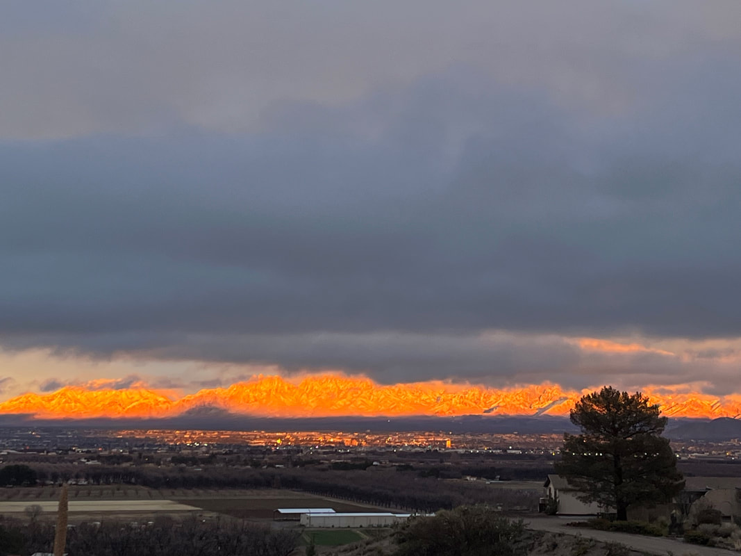
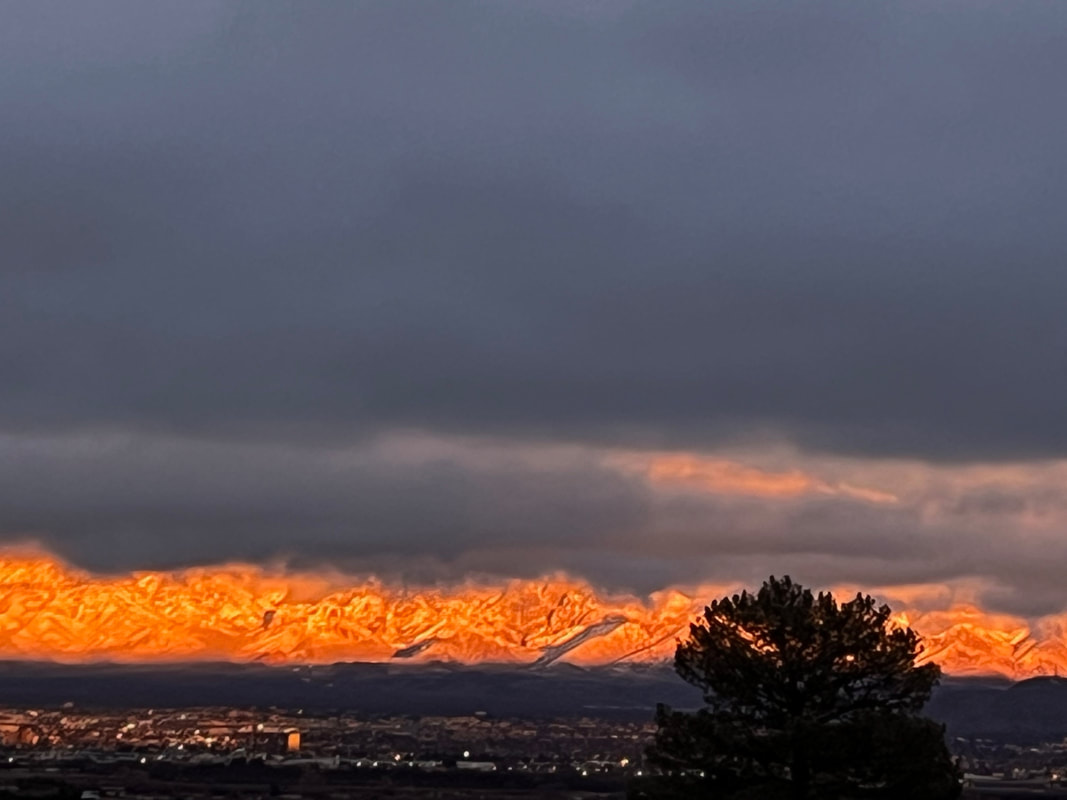
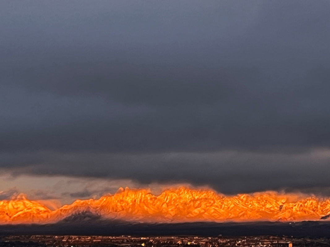
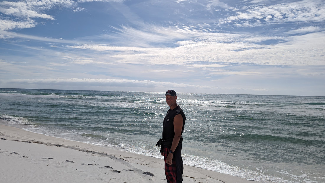
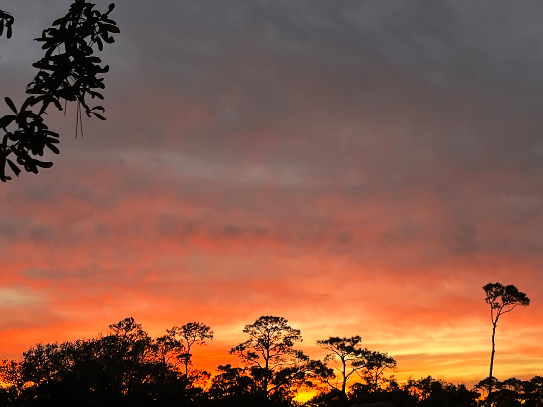
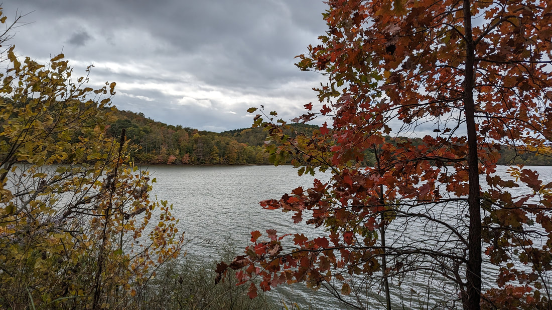
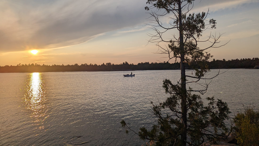
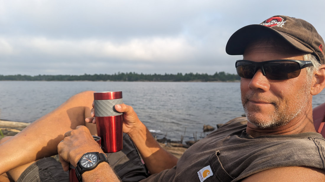
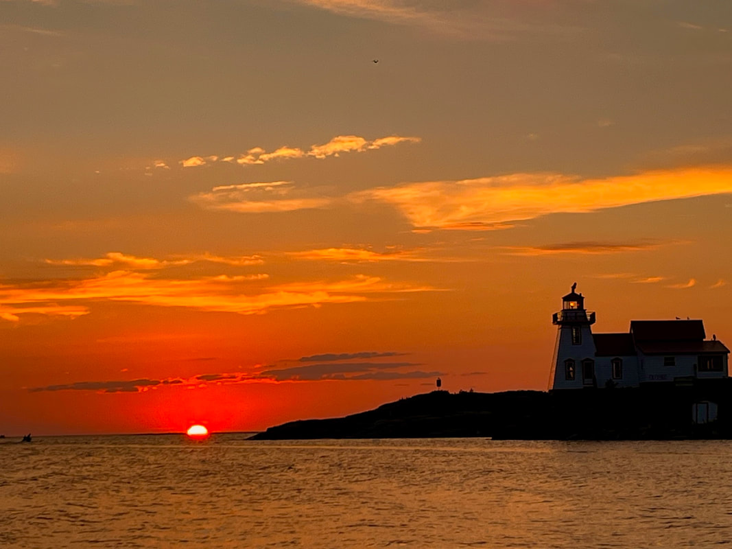
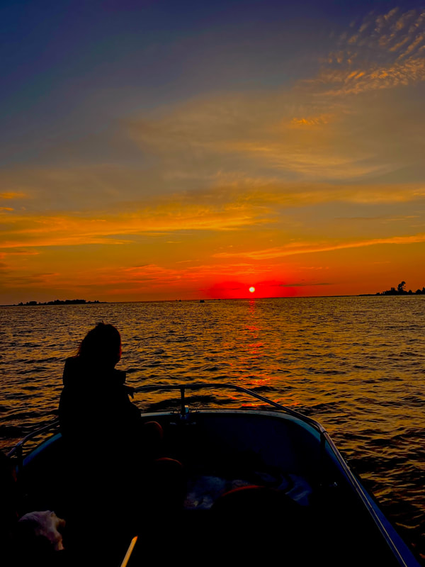
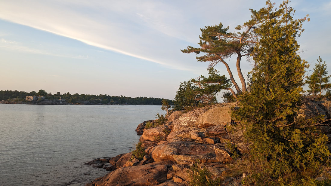
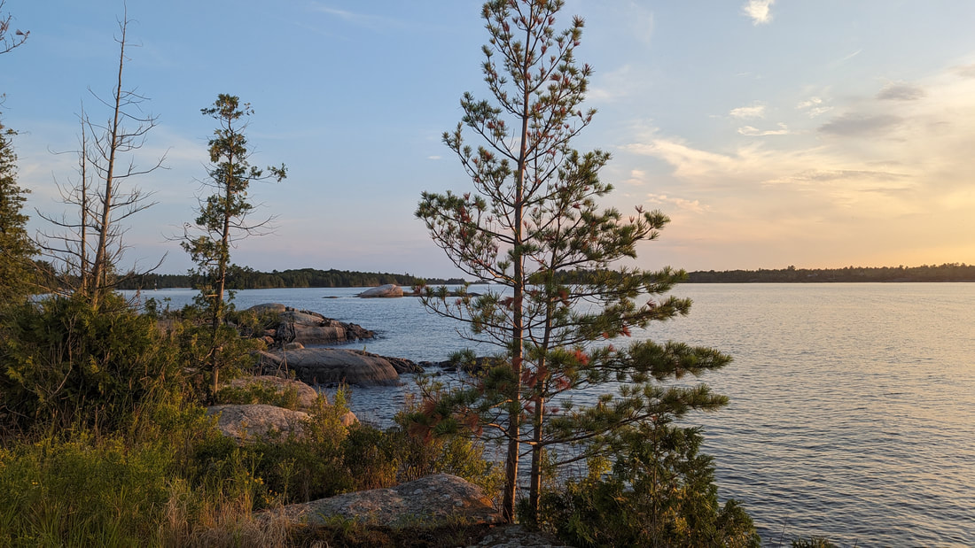
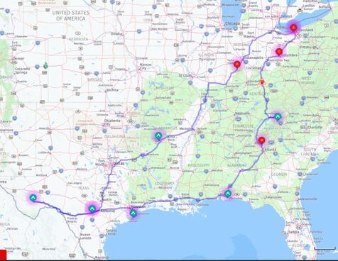
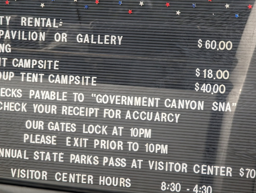
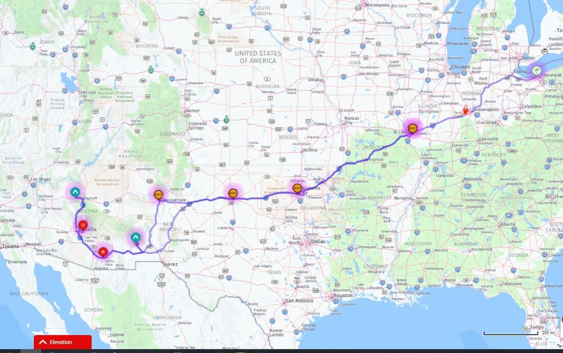
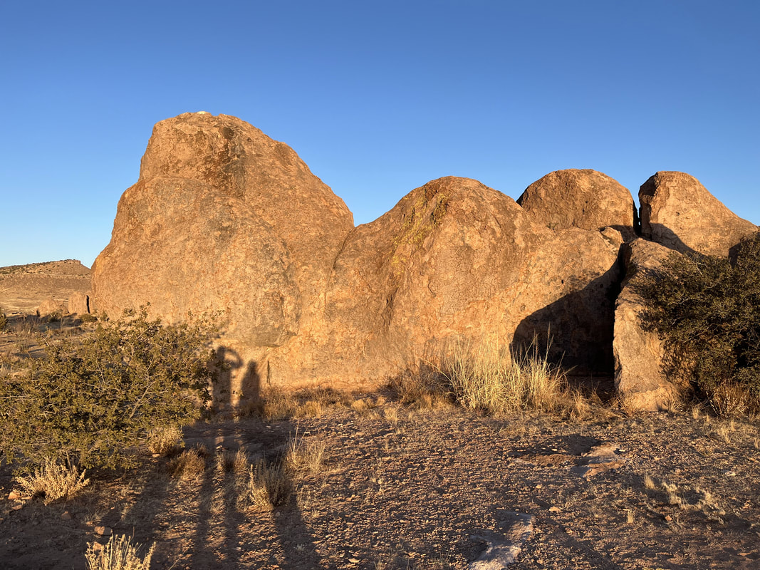
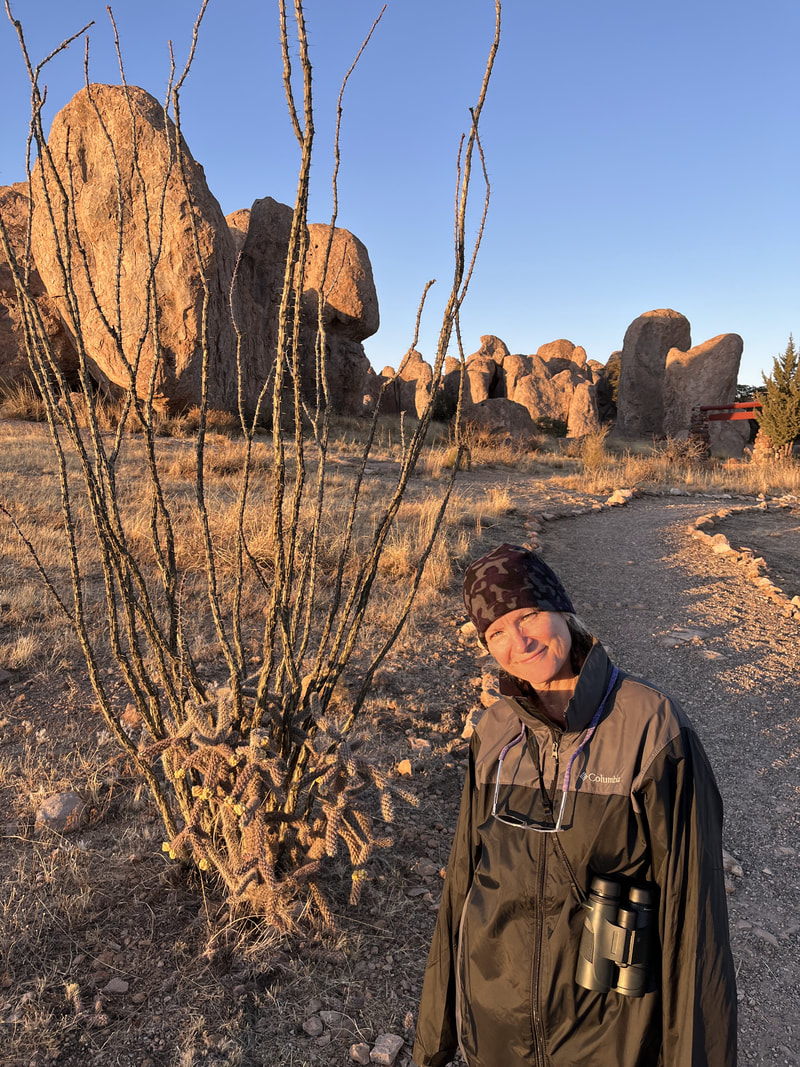
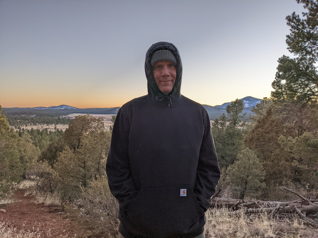
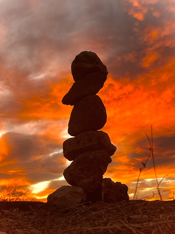
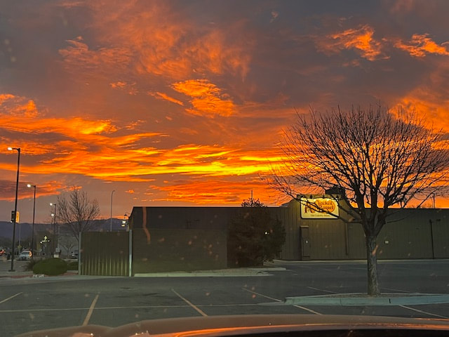
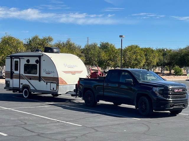
My original itinerary for the trip home had us stopping at 4 Cracker Barrels: Albuquerque, NM; Amarillo,  TX; Springfield, MO; and Terre Haute, IN. But Scott felt he could drive farther each day and if we did, we'd get home a day earlier. So we ended up doing 3 Cracker Barrels: Albuquerque, NM; Oklahoma City, OK; and Effingham, MO (which was a lot of fun making fun of, "where in the Effingham are we?). All were very nice, and eating at them is a great way to add fun to the trip home. Here's a sunrise Scott caught one morning.
Picture
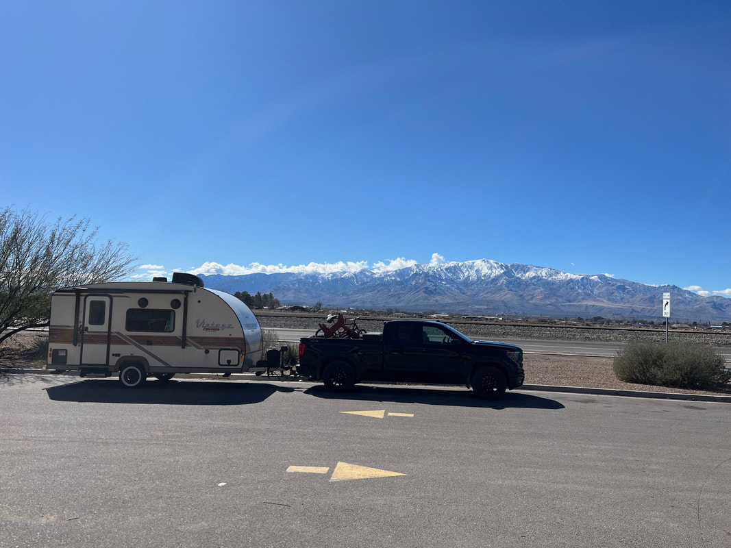
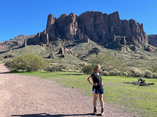
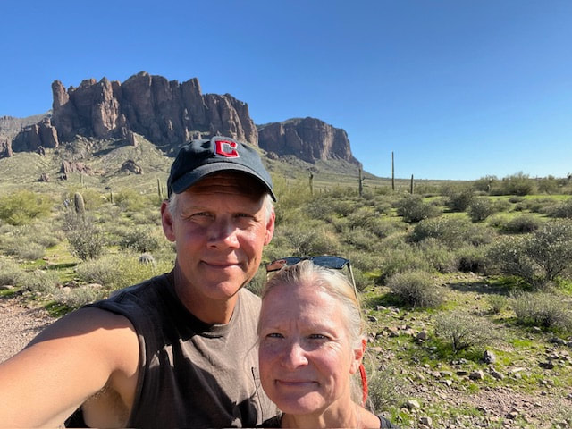
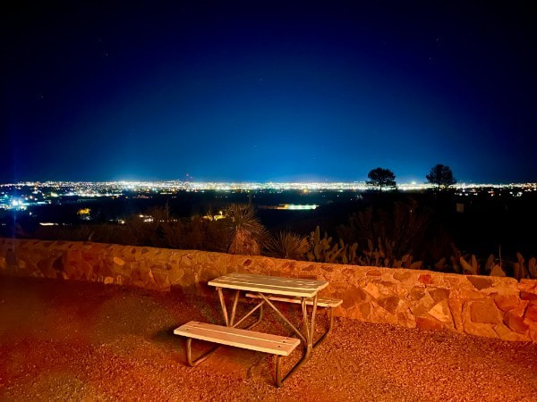
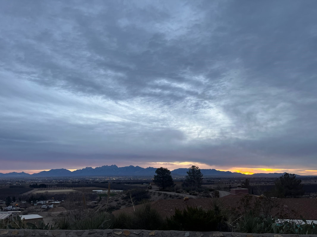
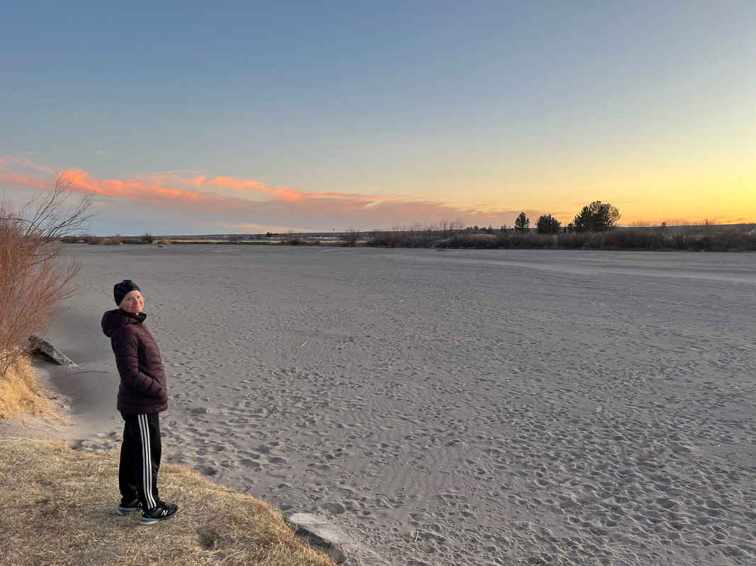
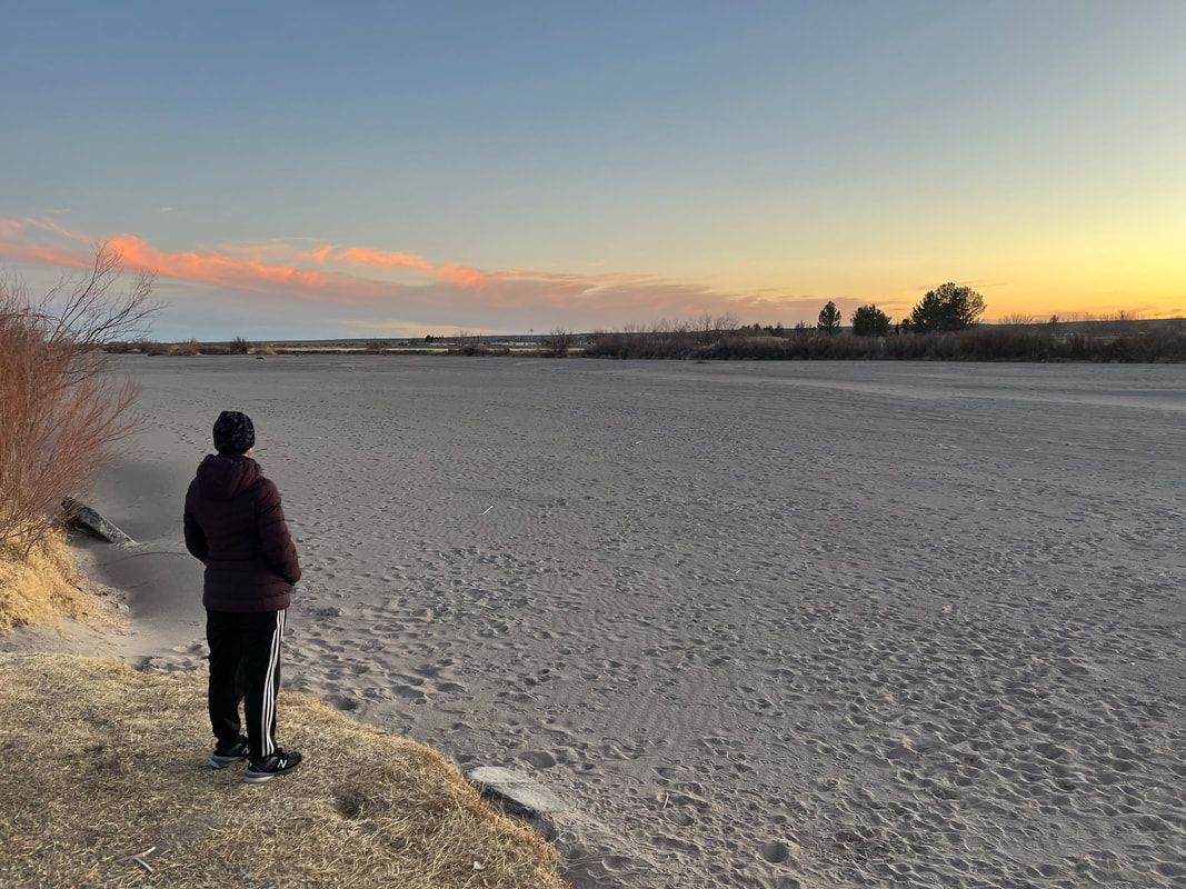
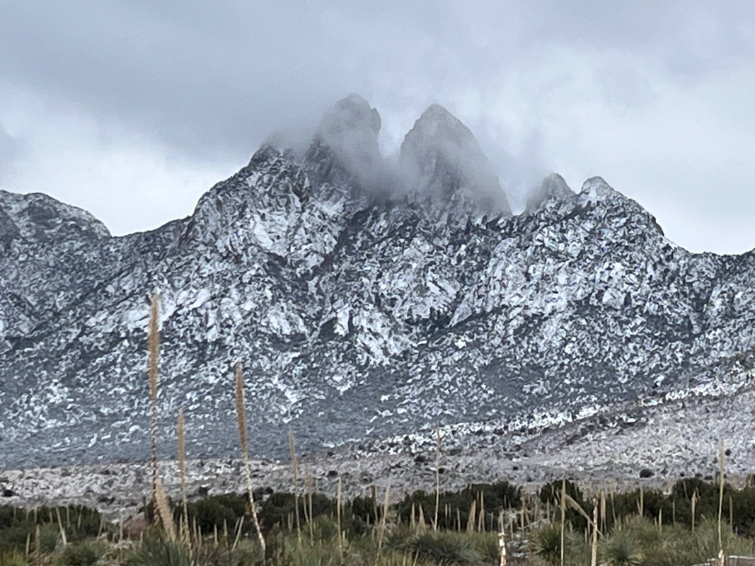
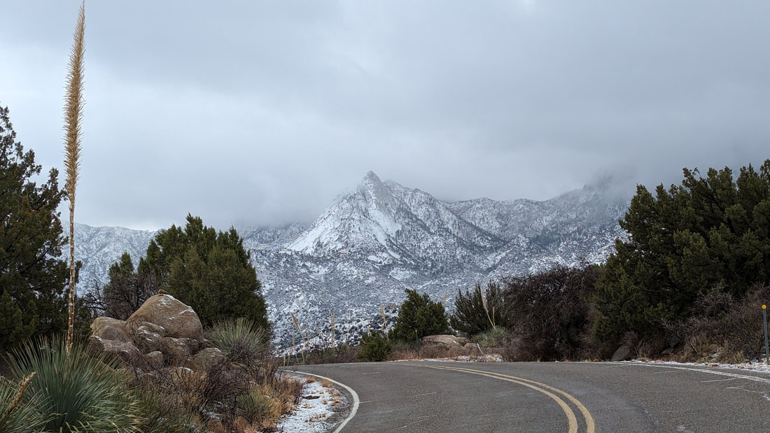
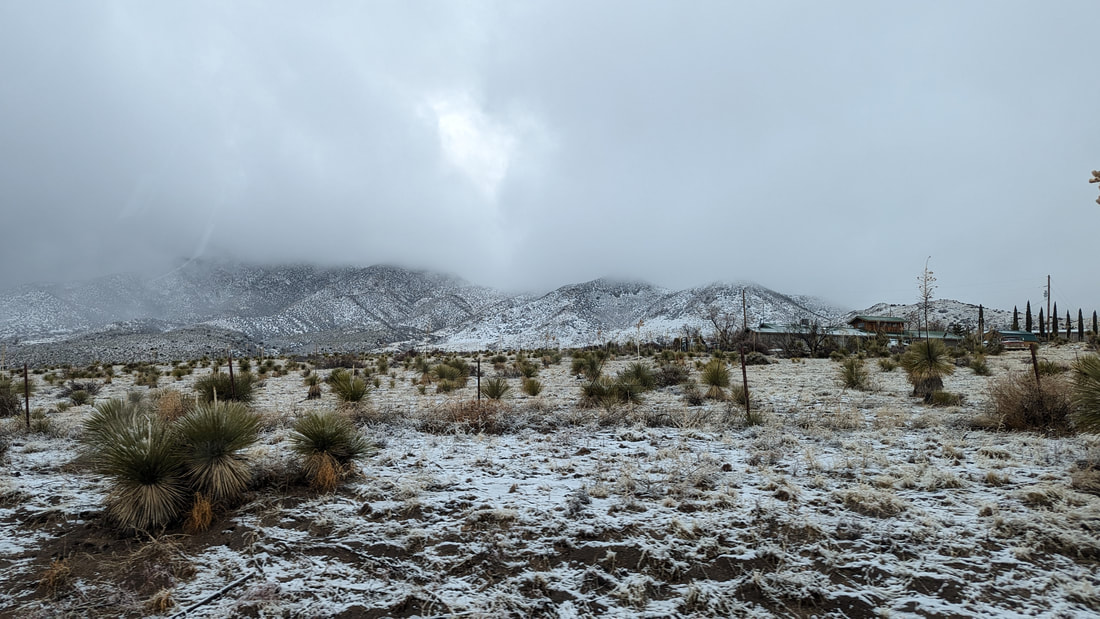
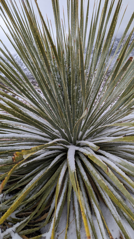
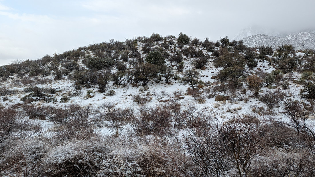
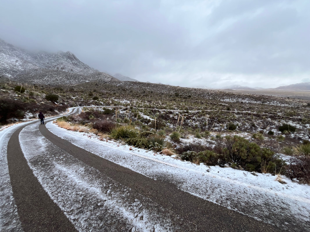
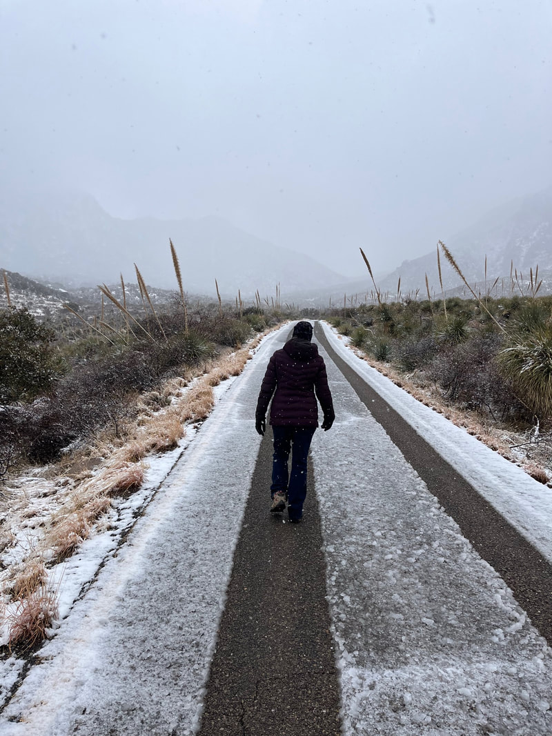
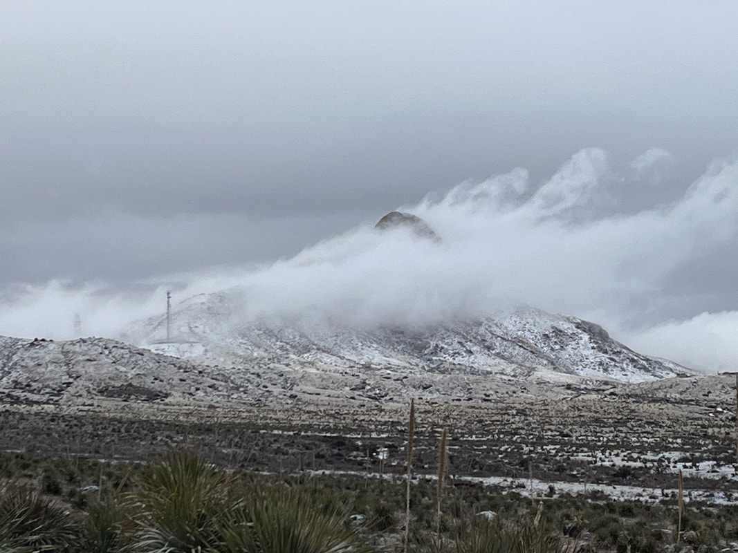
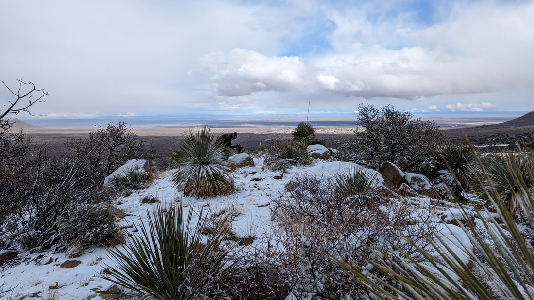
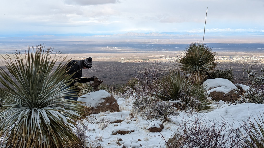
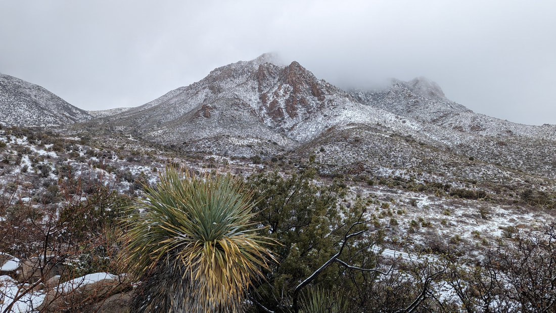
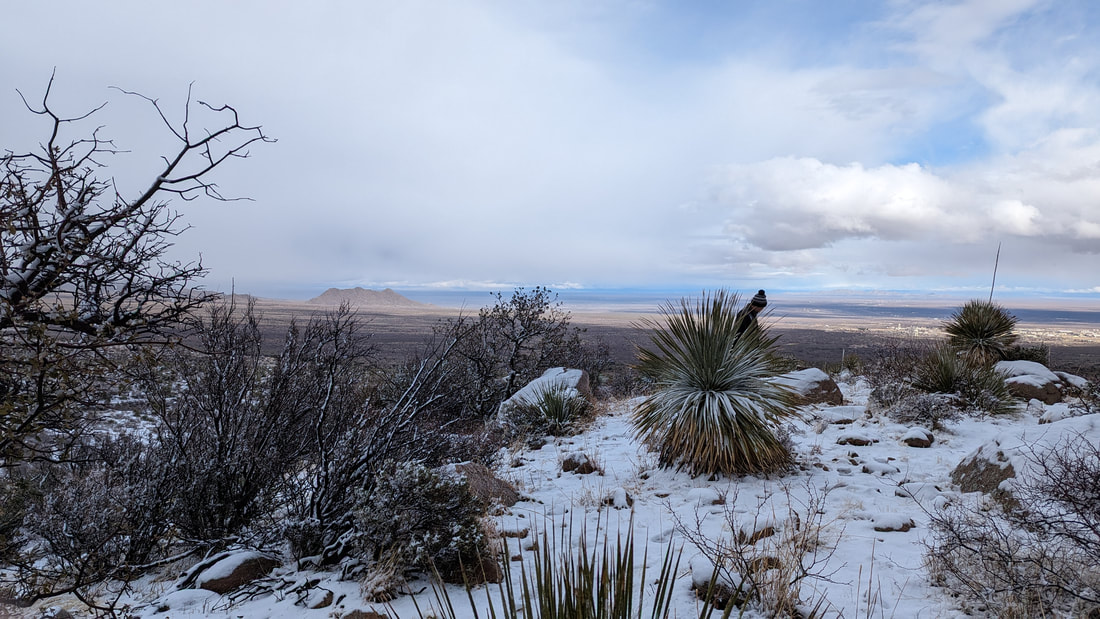
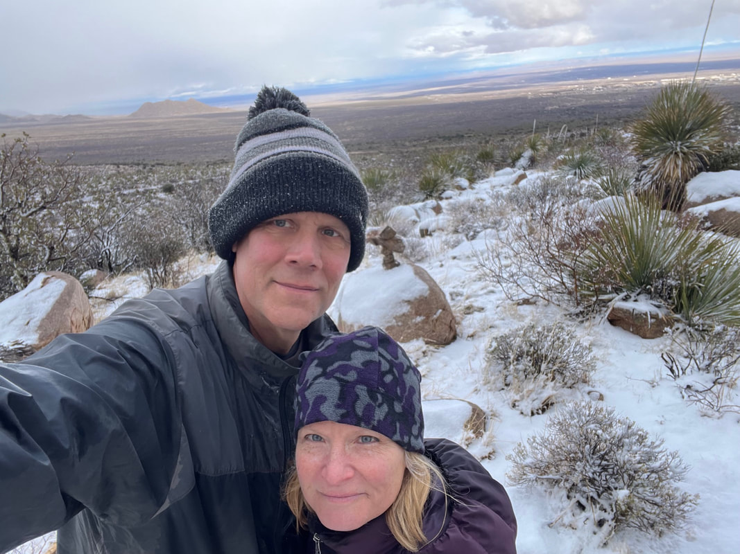
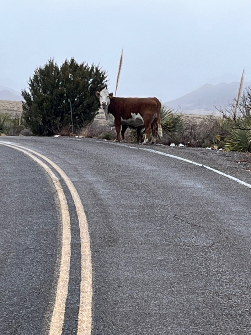
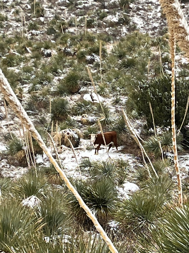
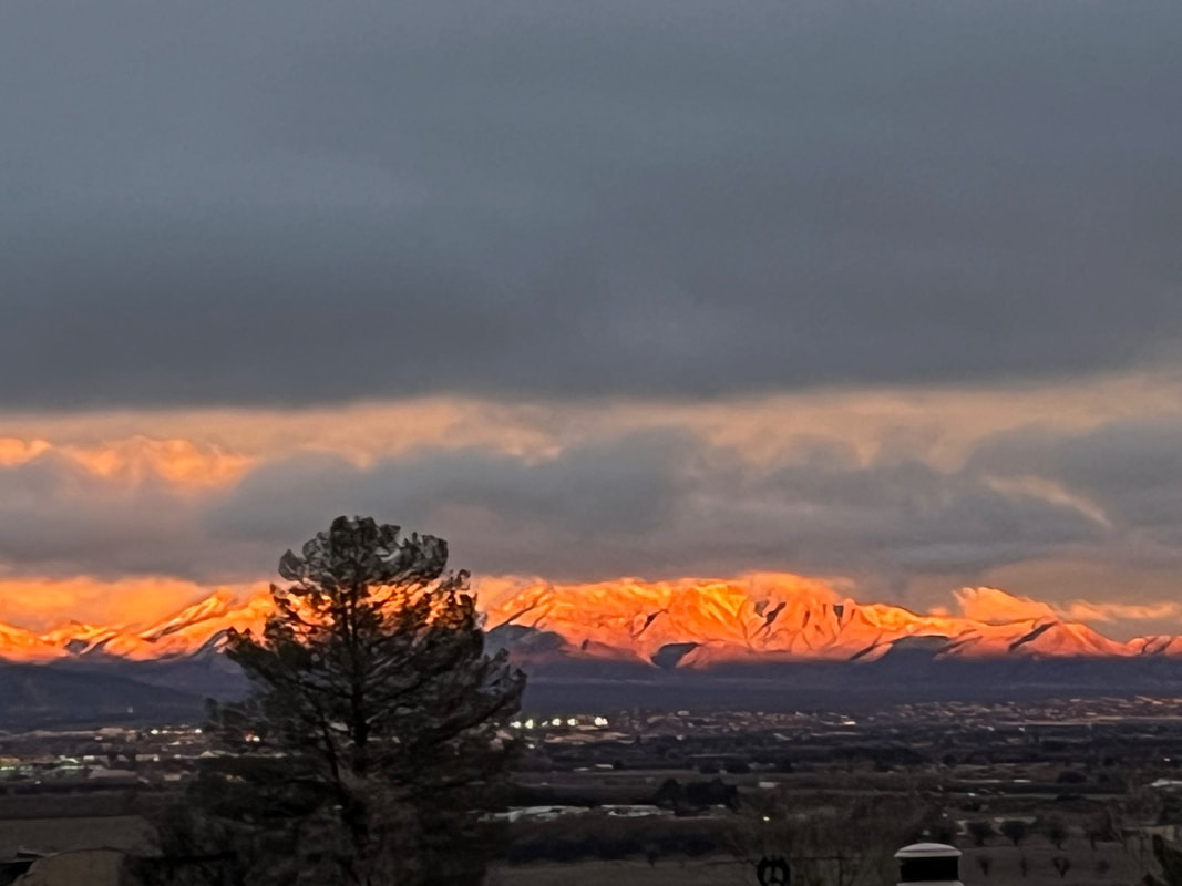
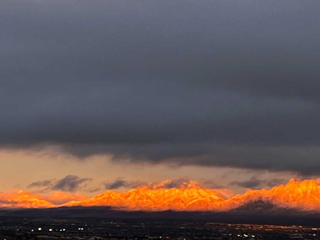
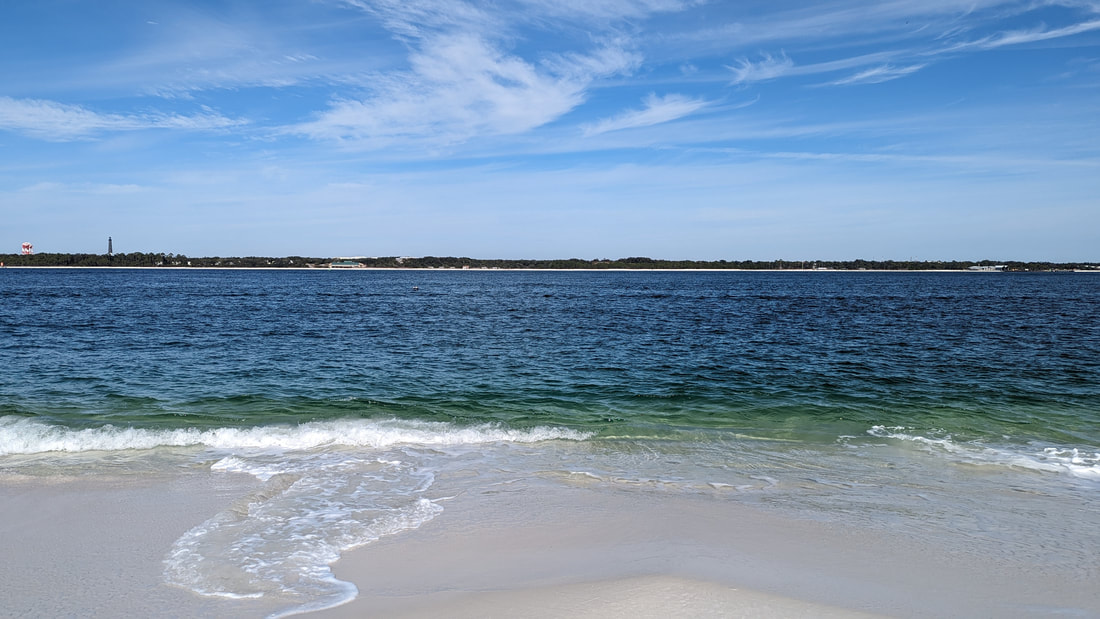
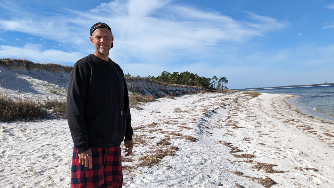
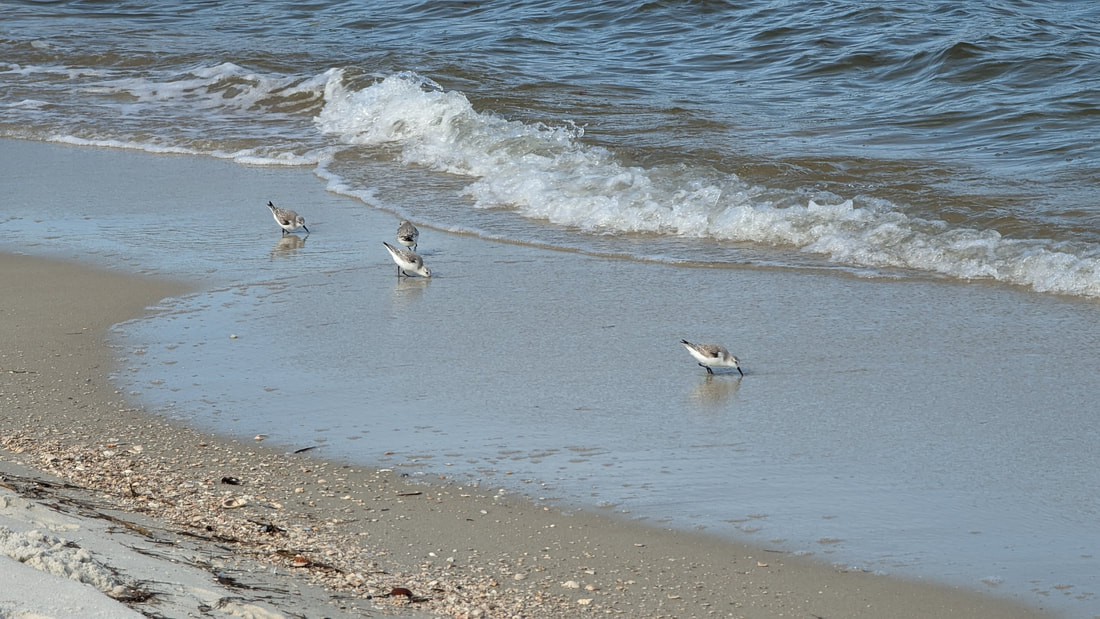
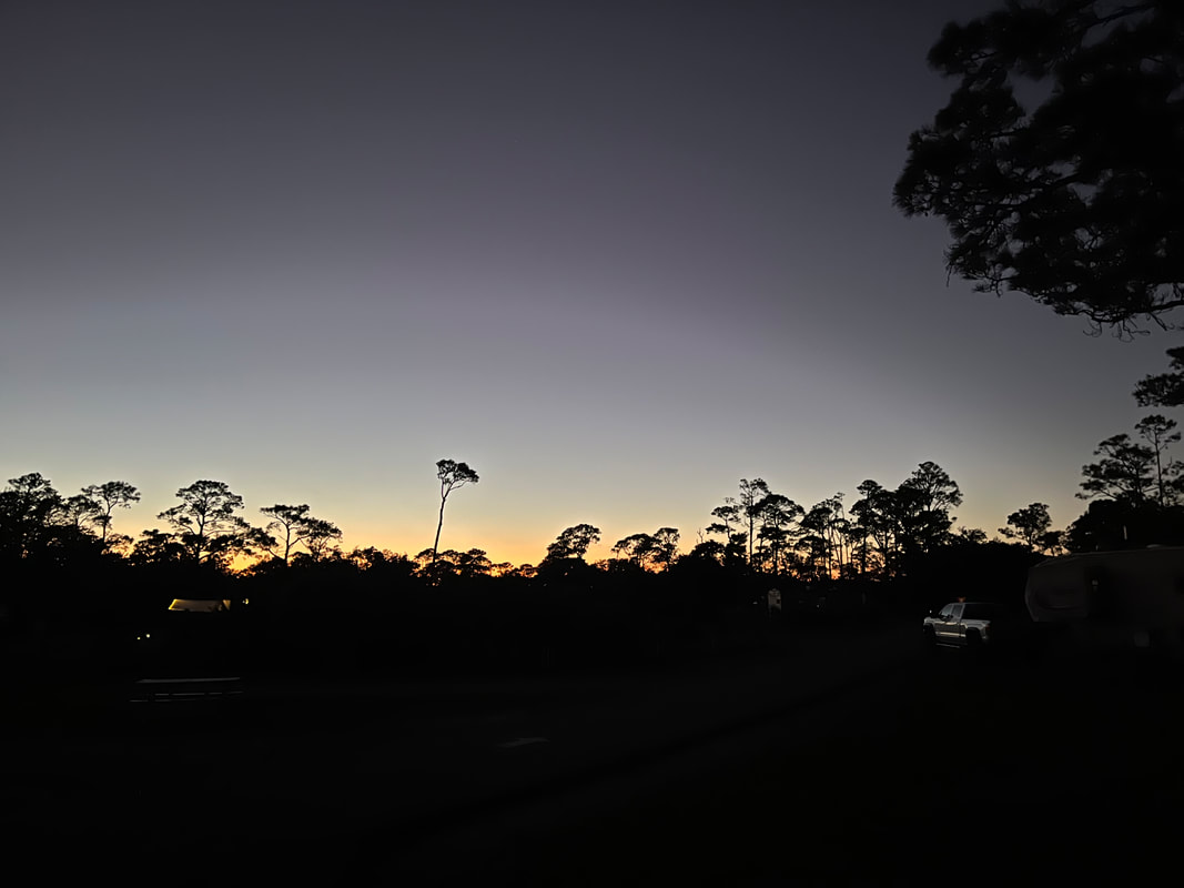
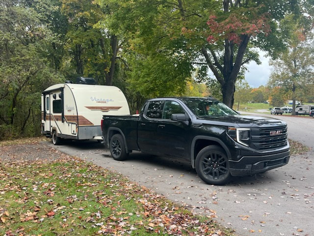
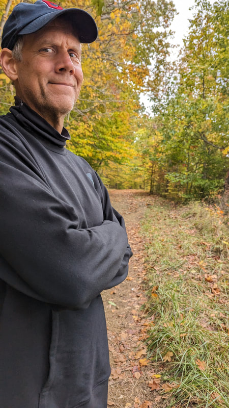
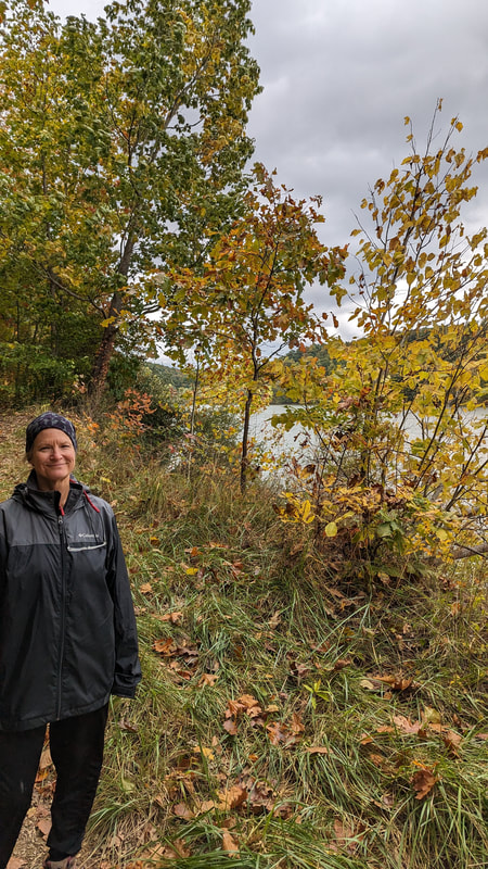
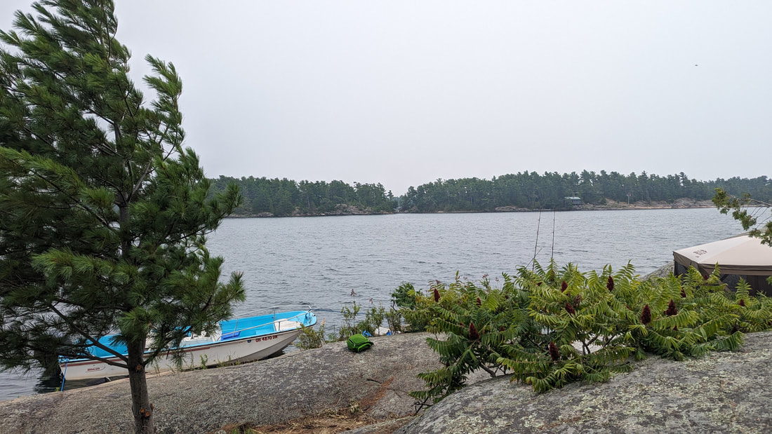
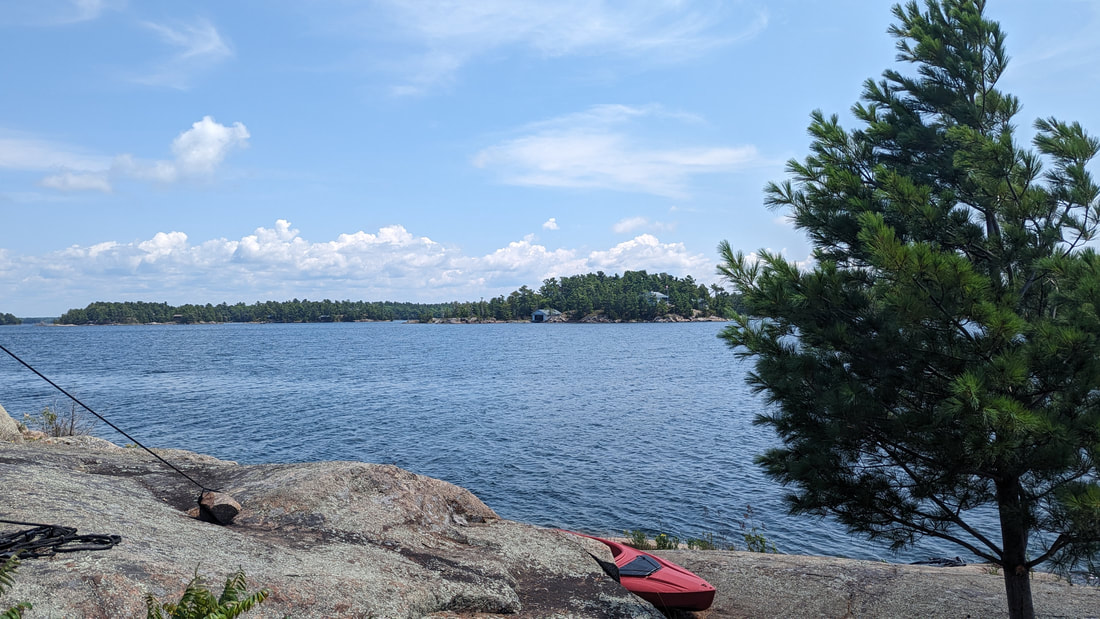
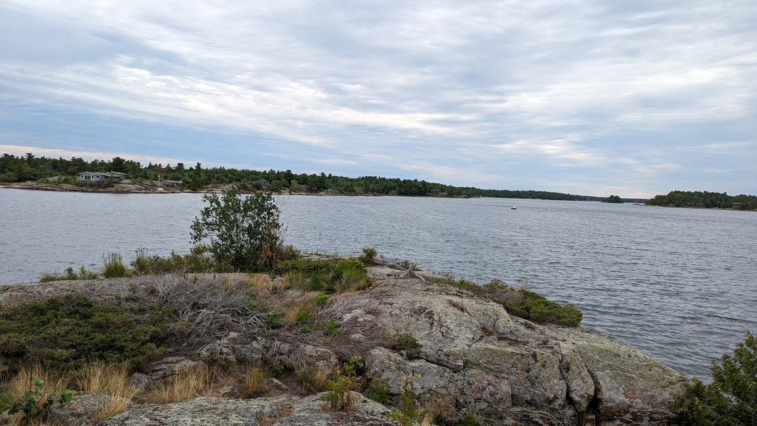
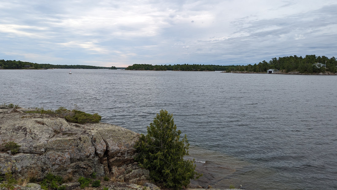
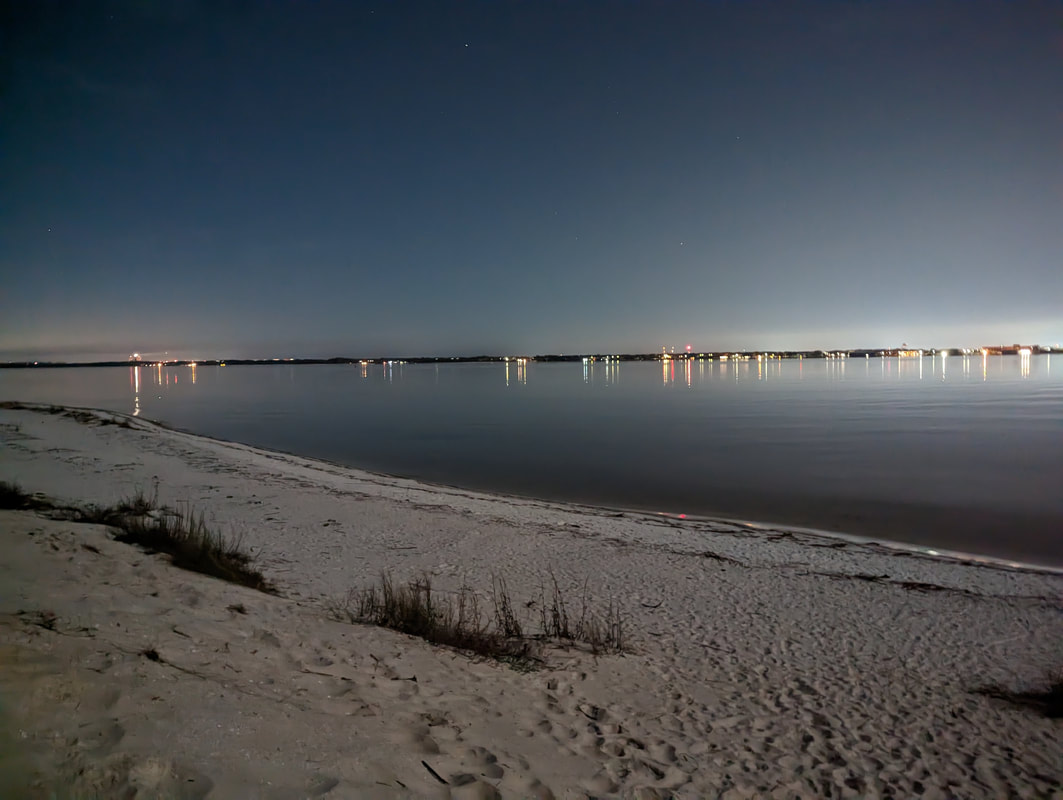
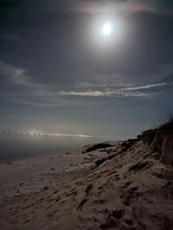
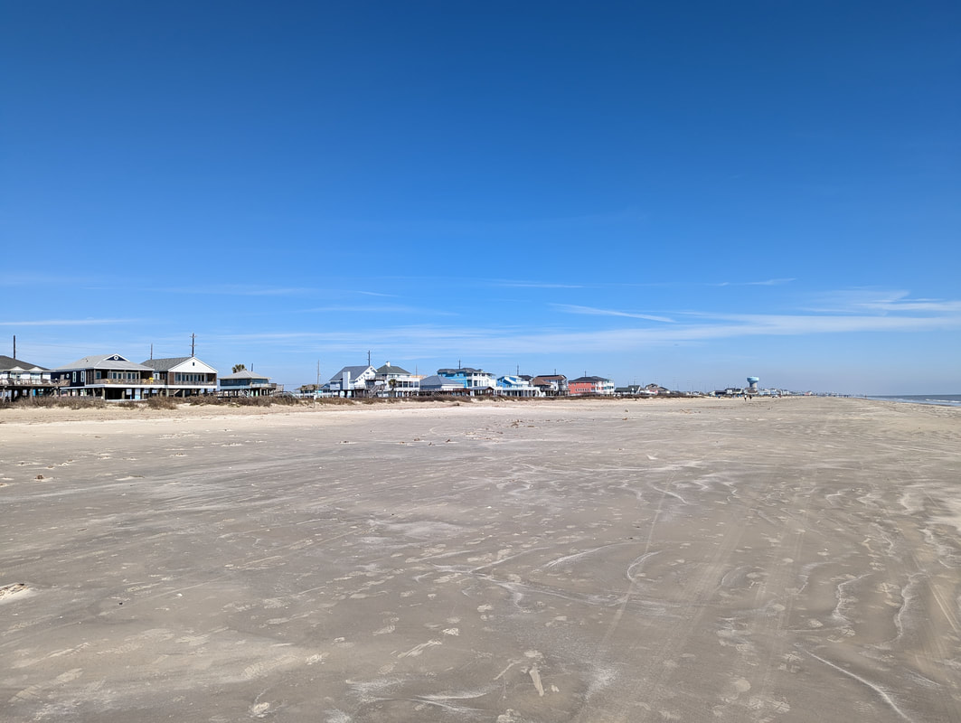
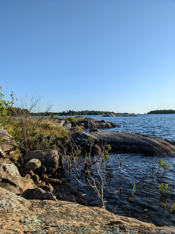
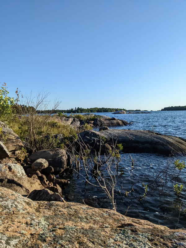
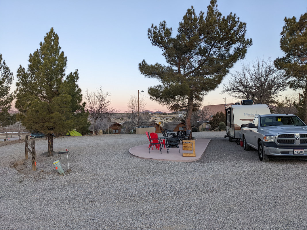
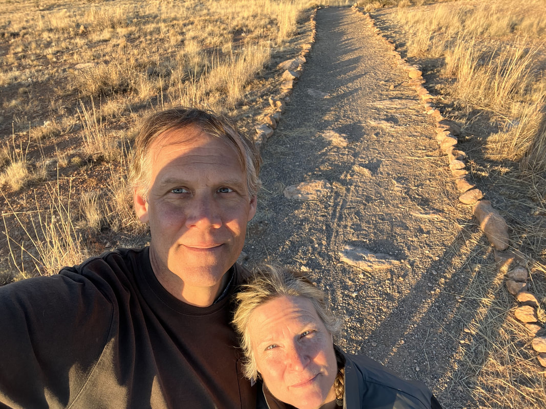
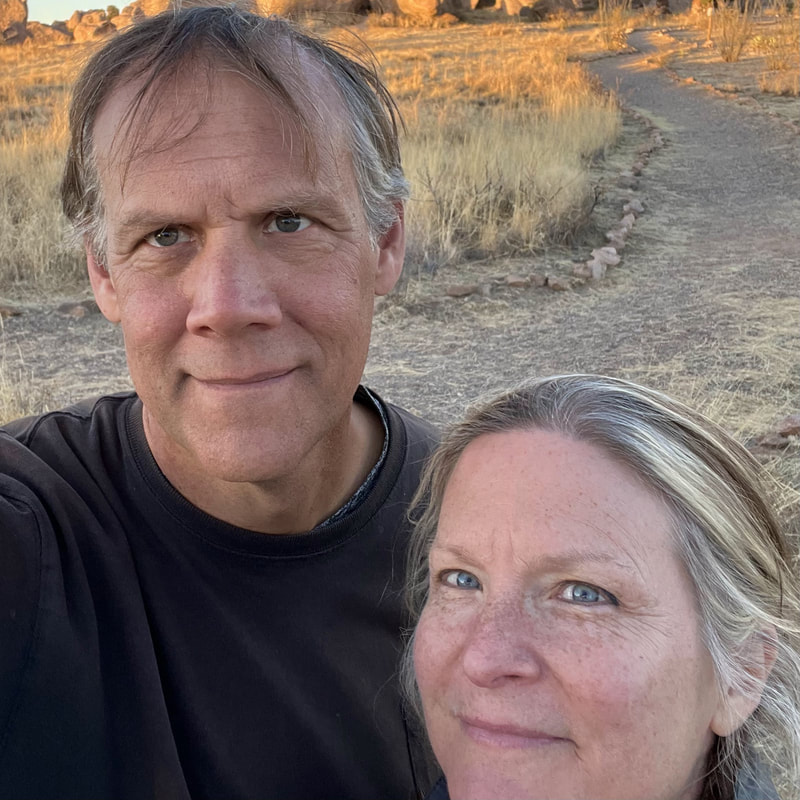
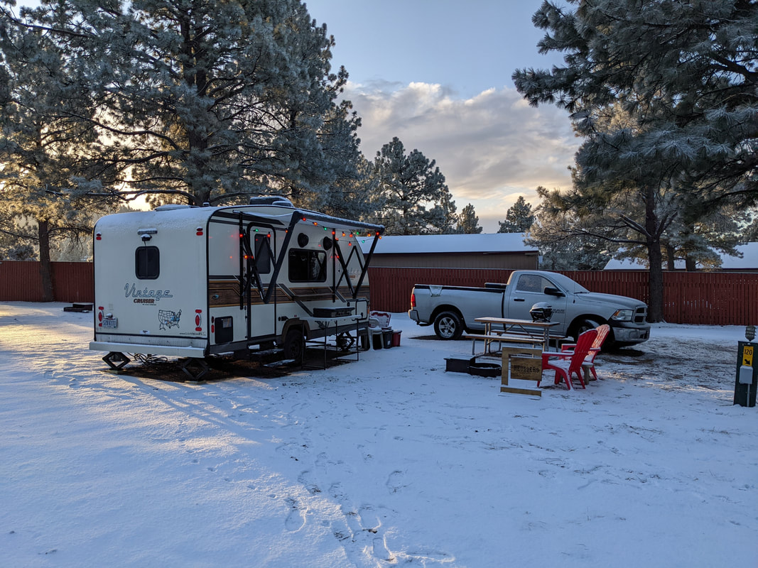
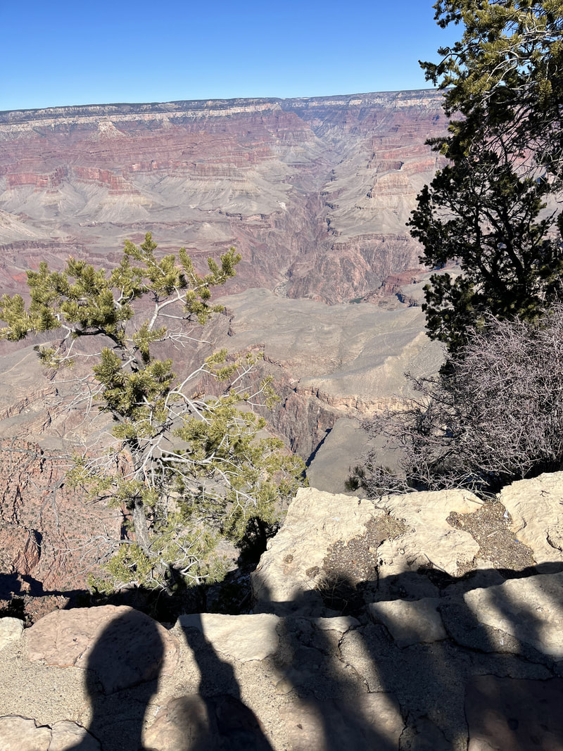
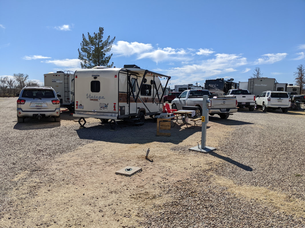
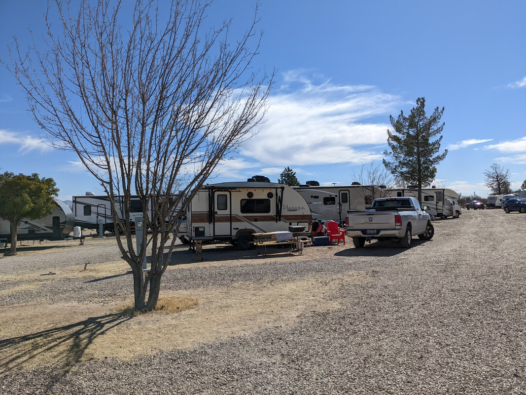
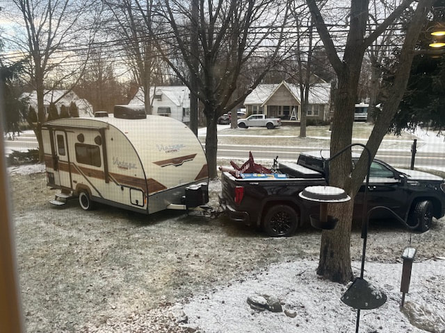
And we arrived home to a little snow on the ground. Sigh. Here is a comparison of our last moments in Tucson and our arrival home.

Tucson, Day 6

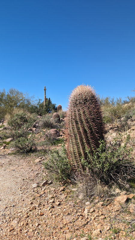
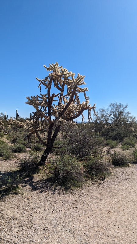
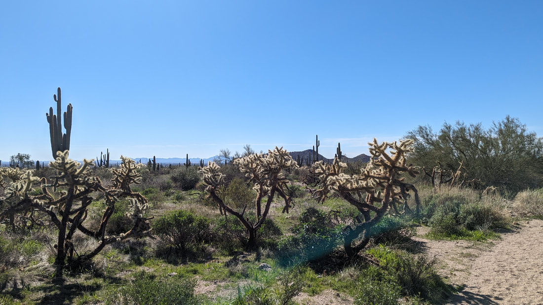
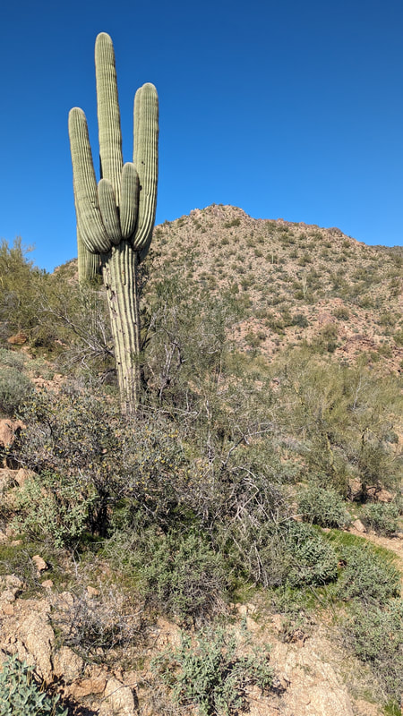
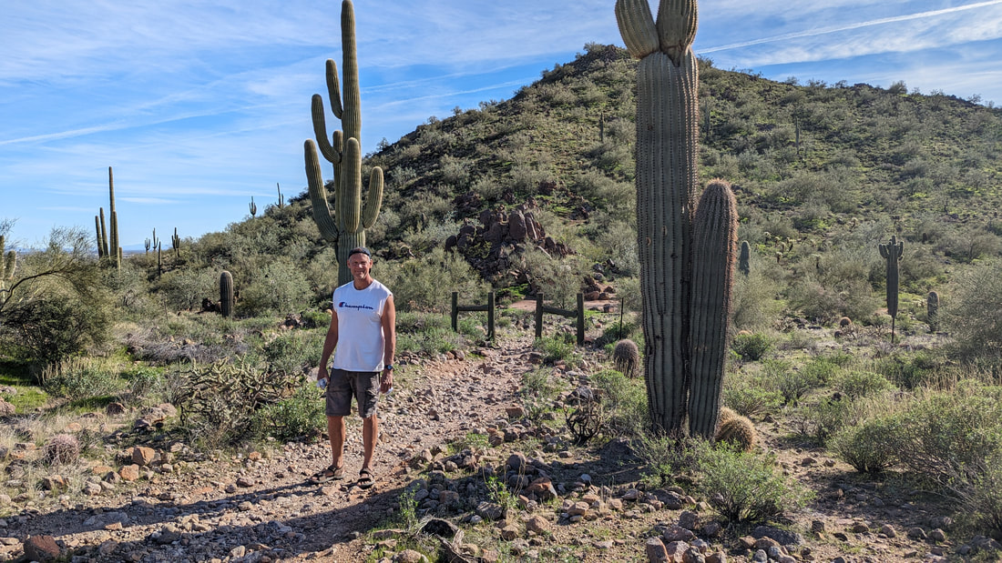
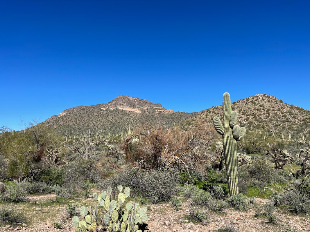
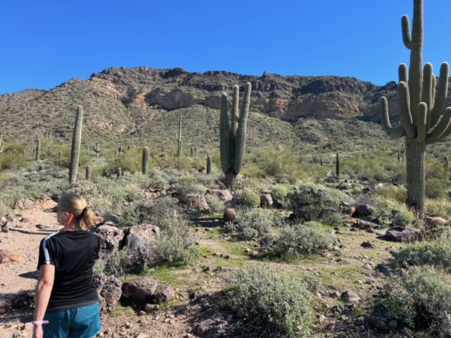
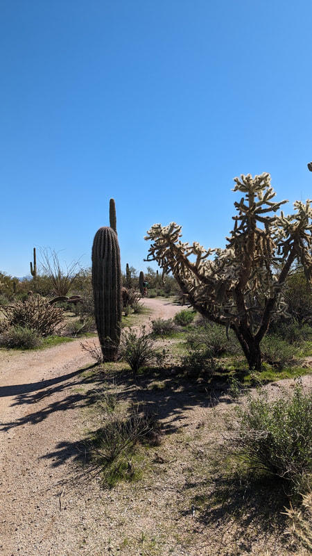
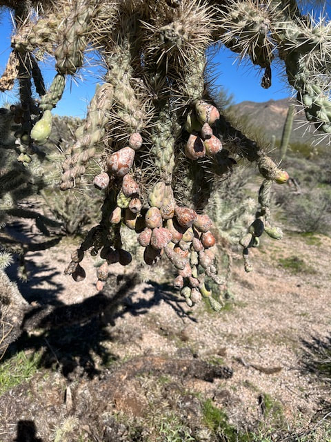
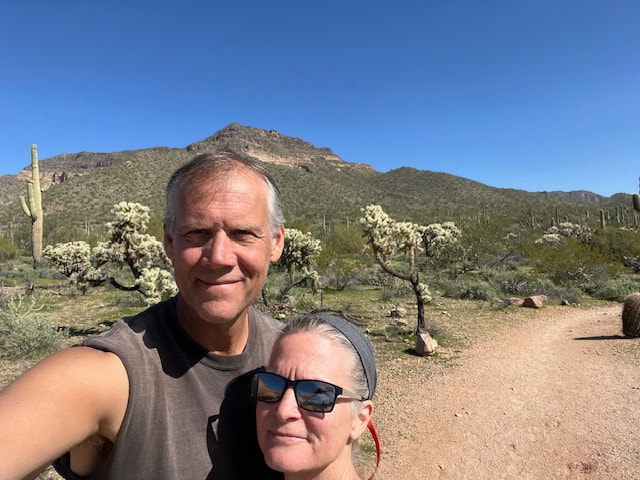
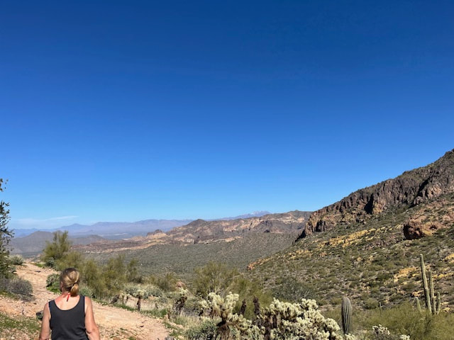
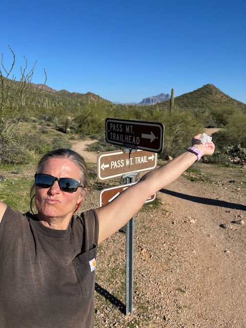
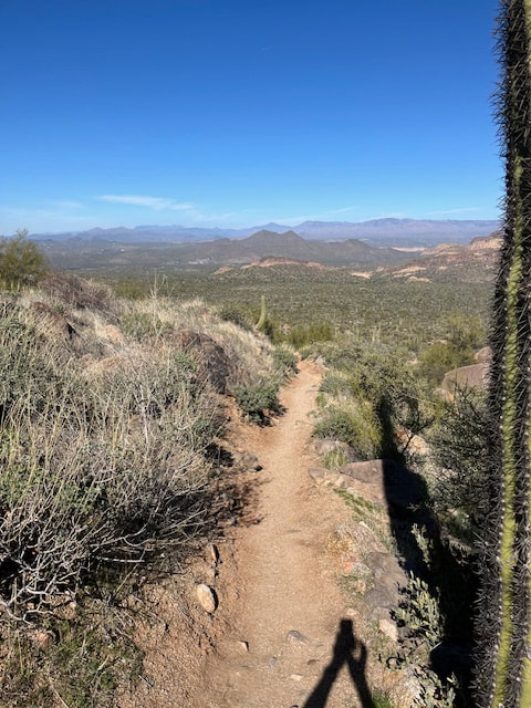
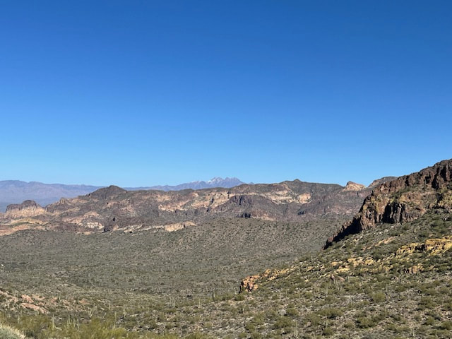
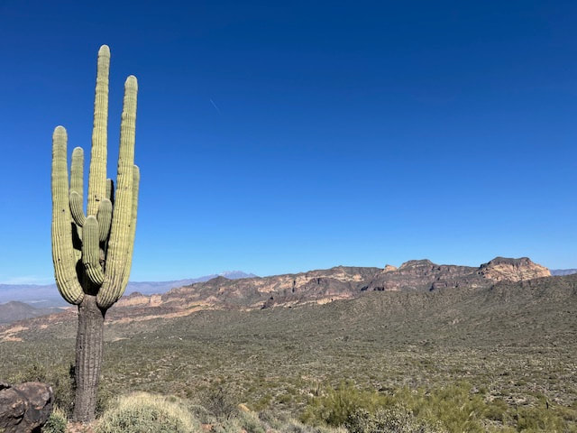
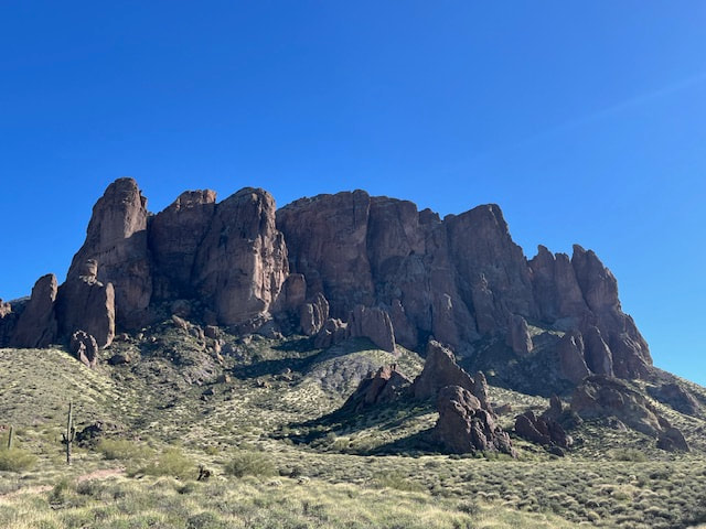
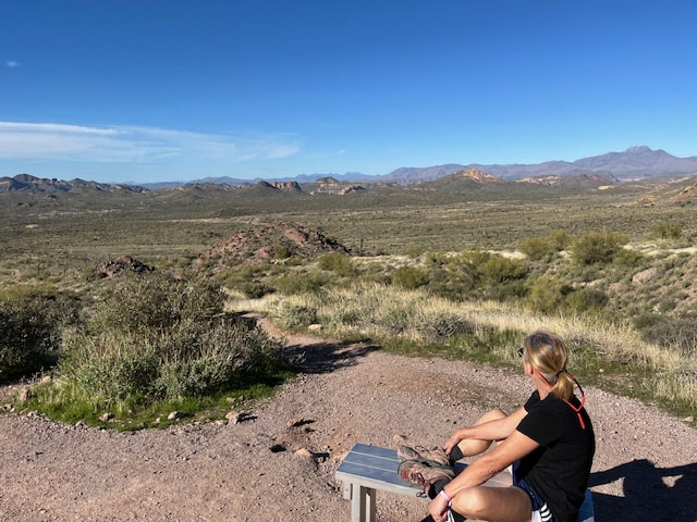
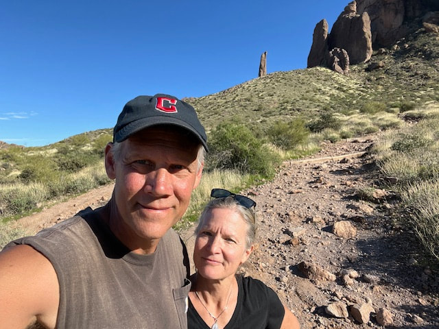
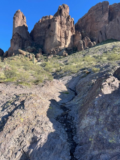
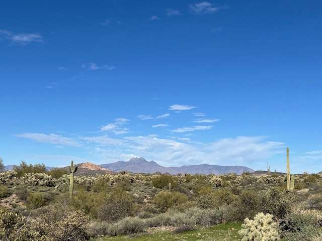
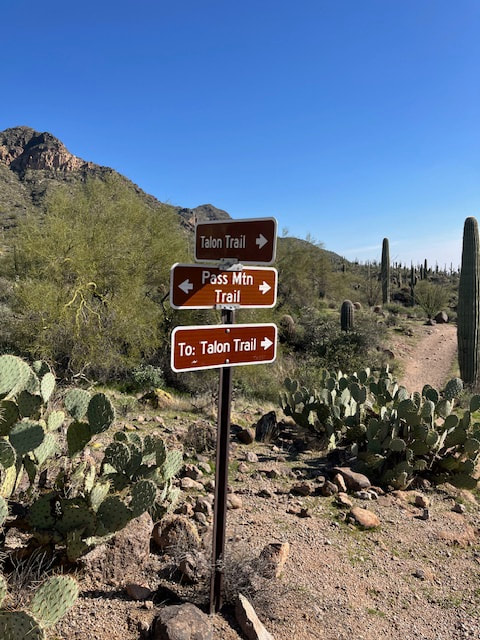
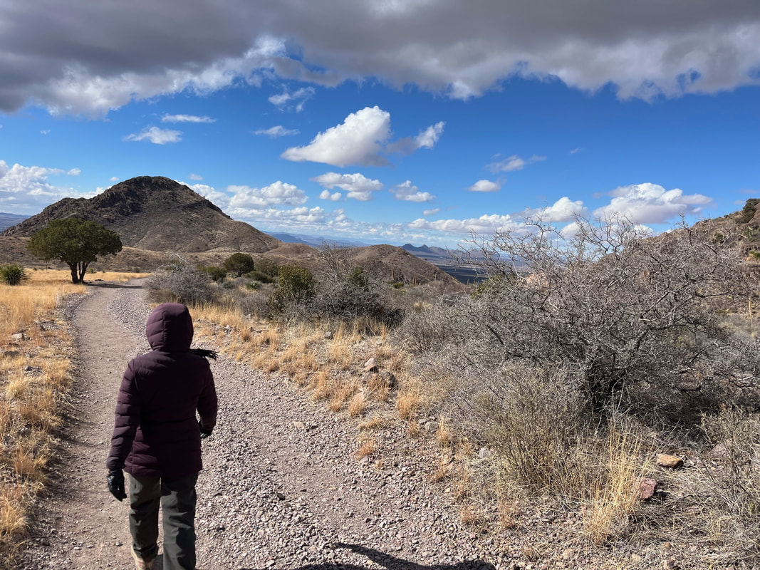
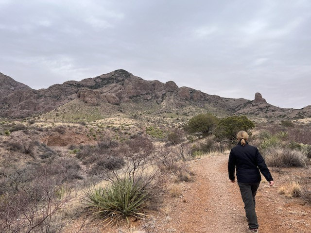
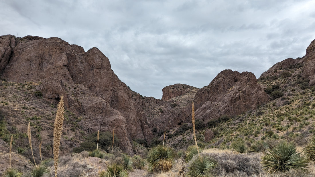
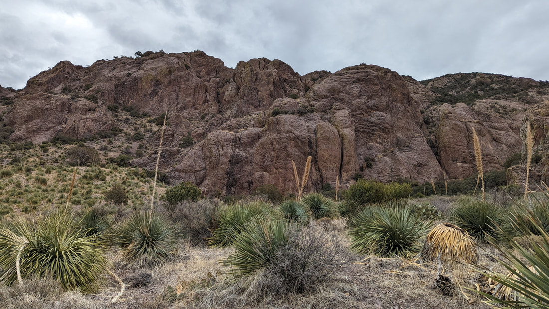
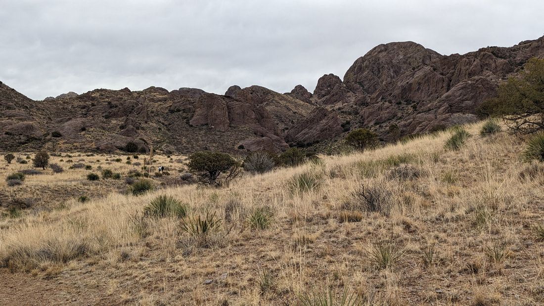
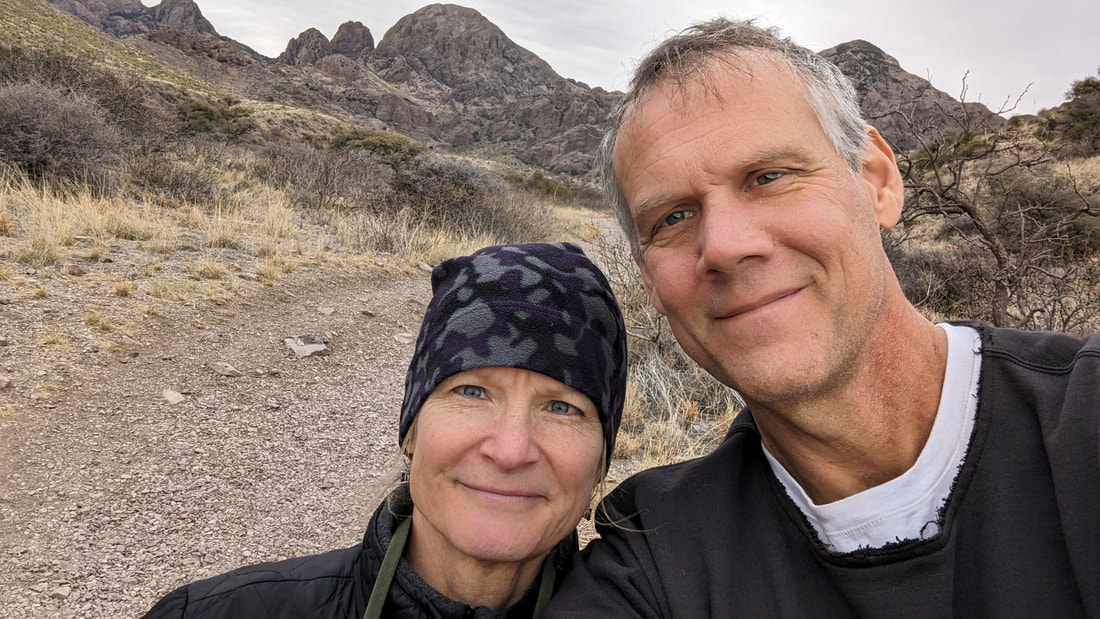
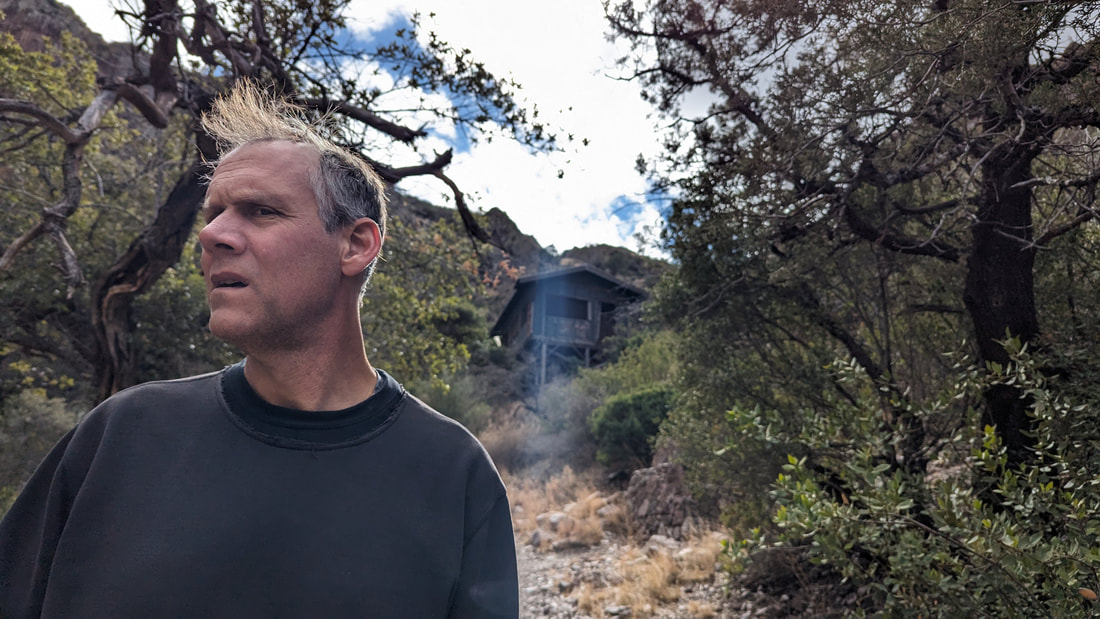
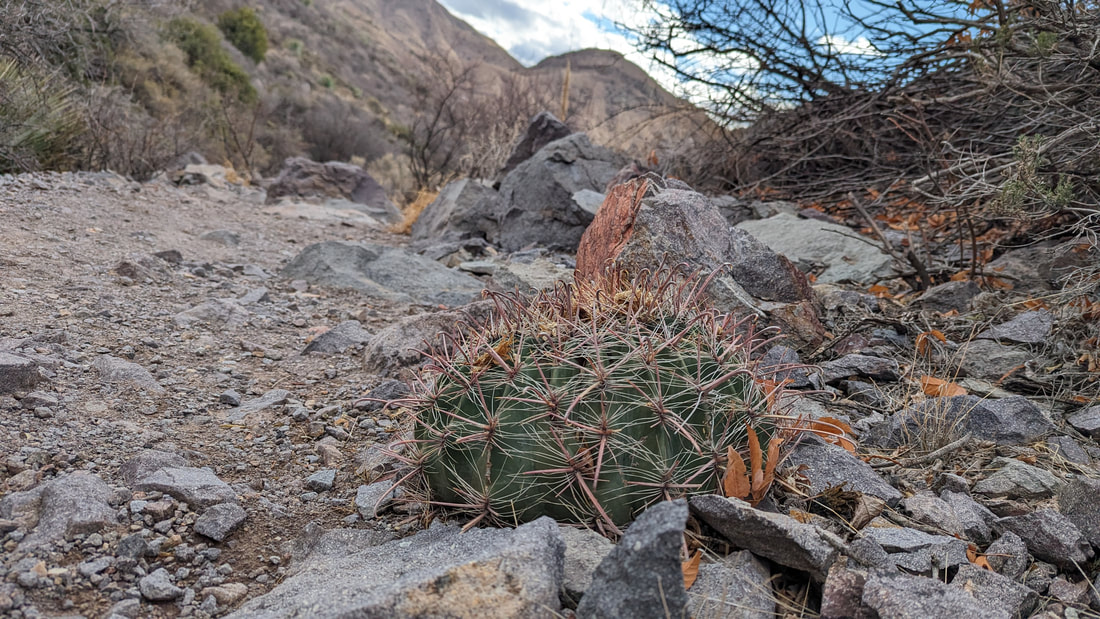
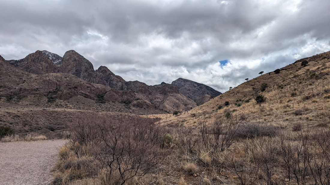
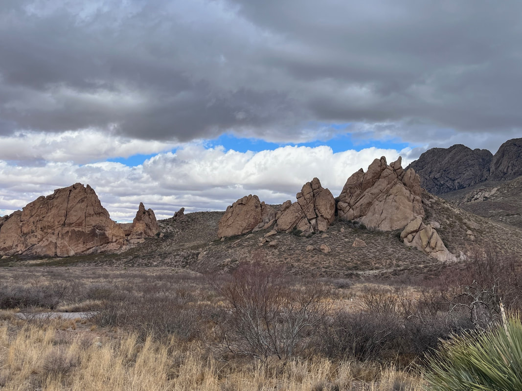
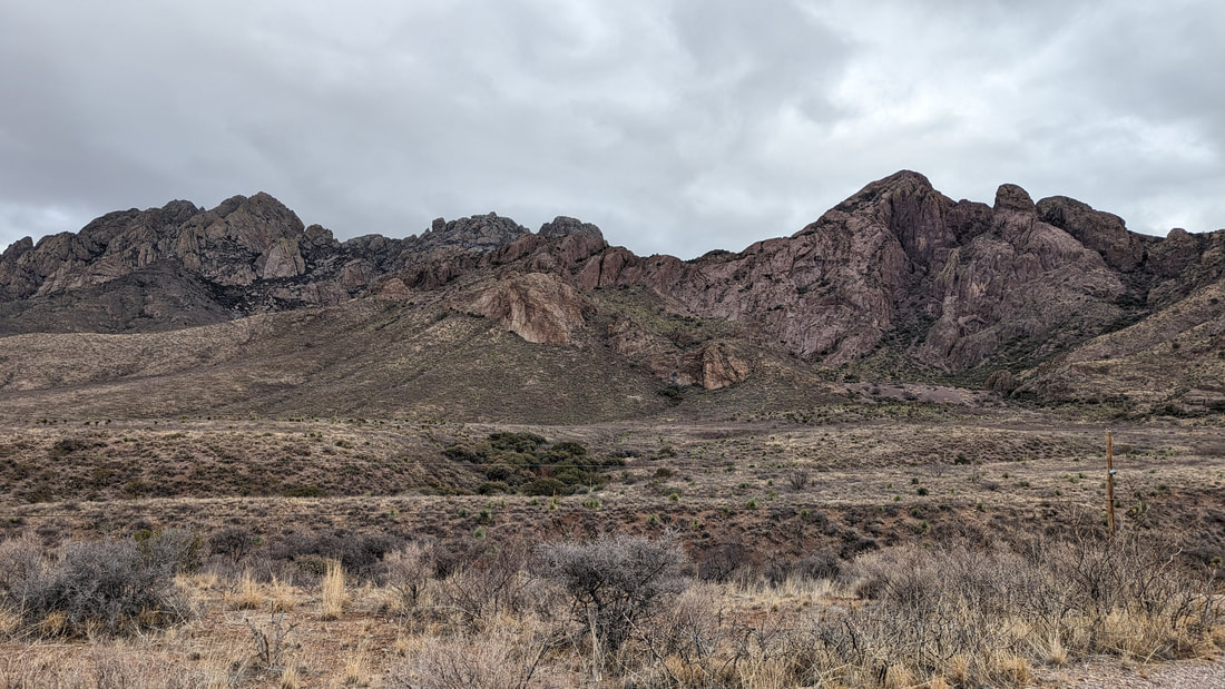
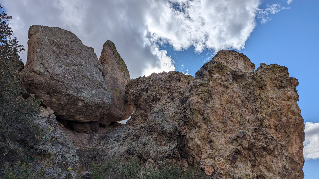
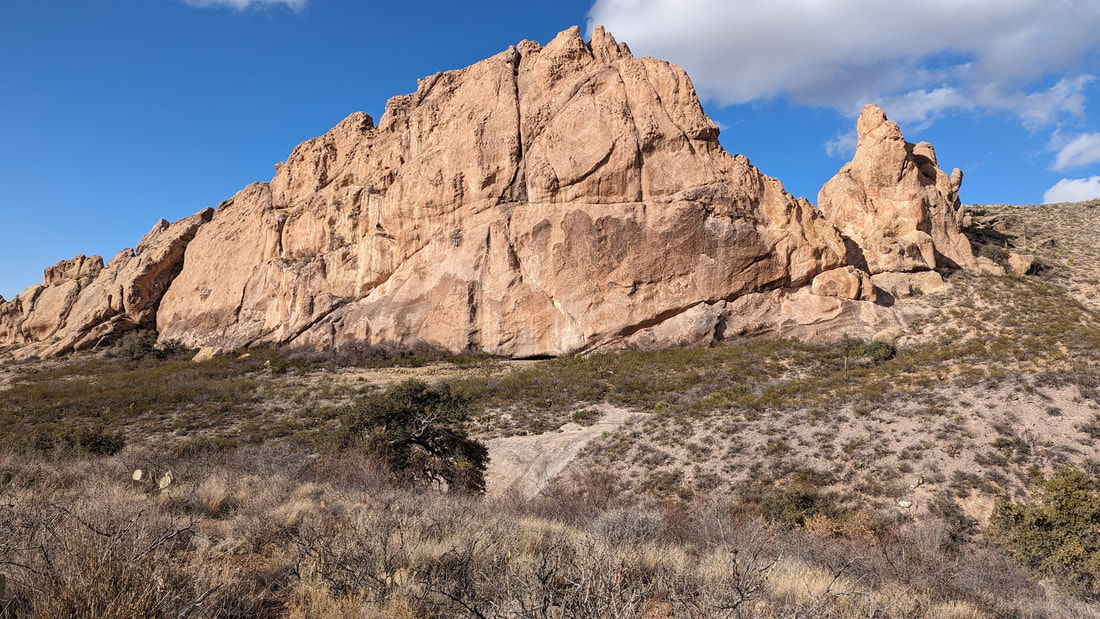
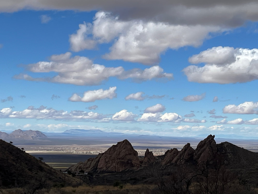
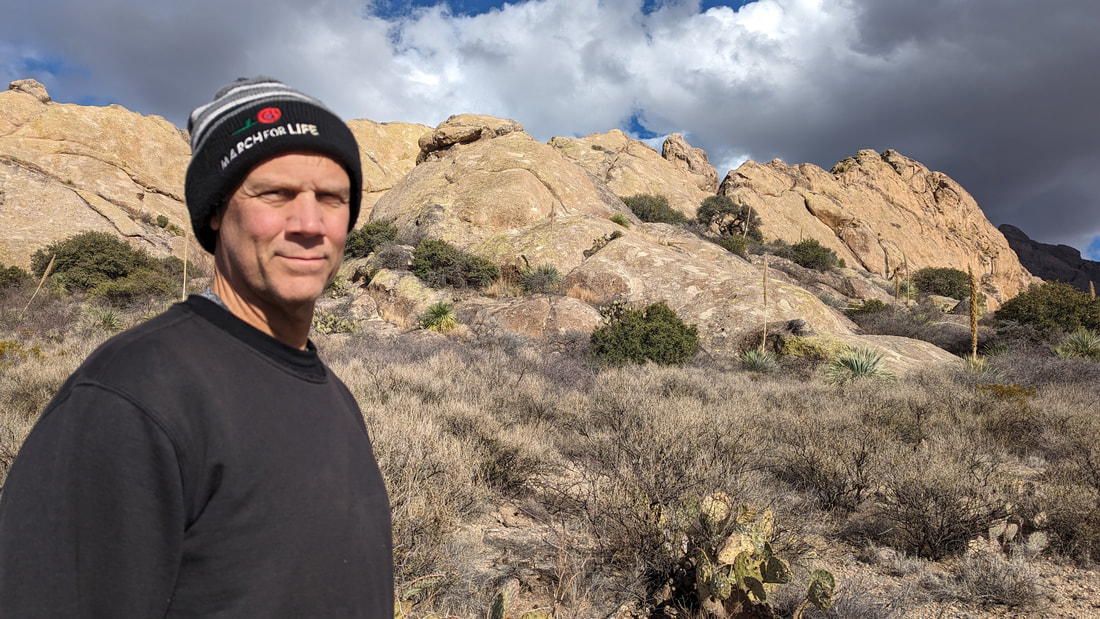
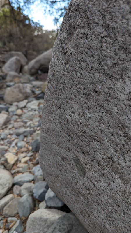
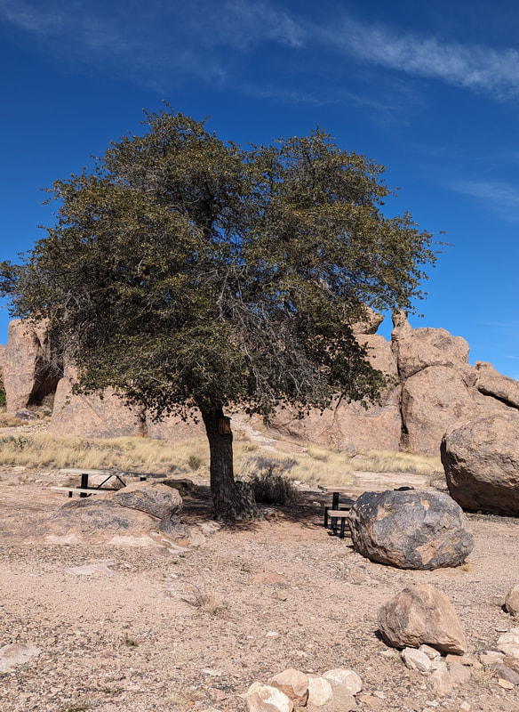
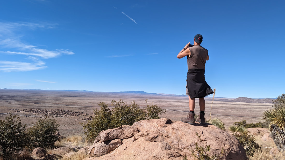
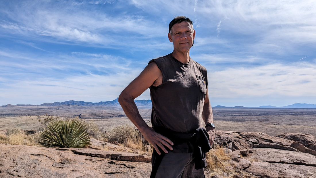
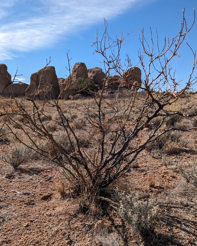
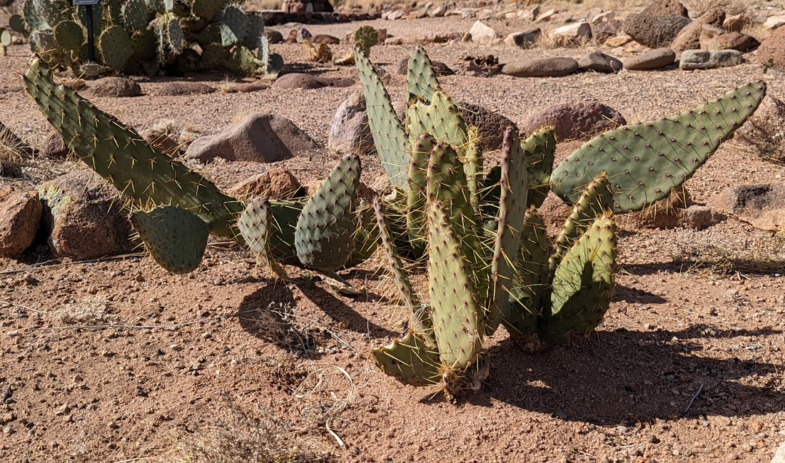
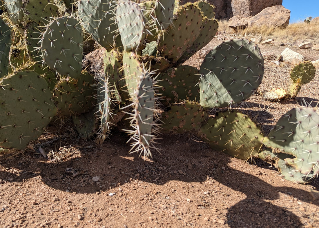
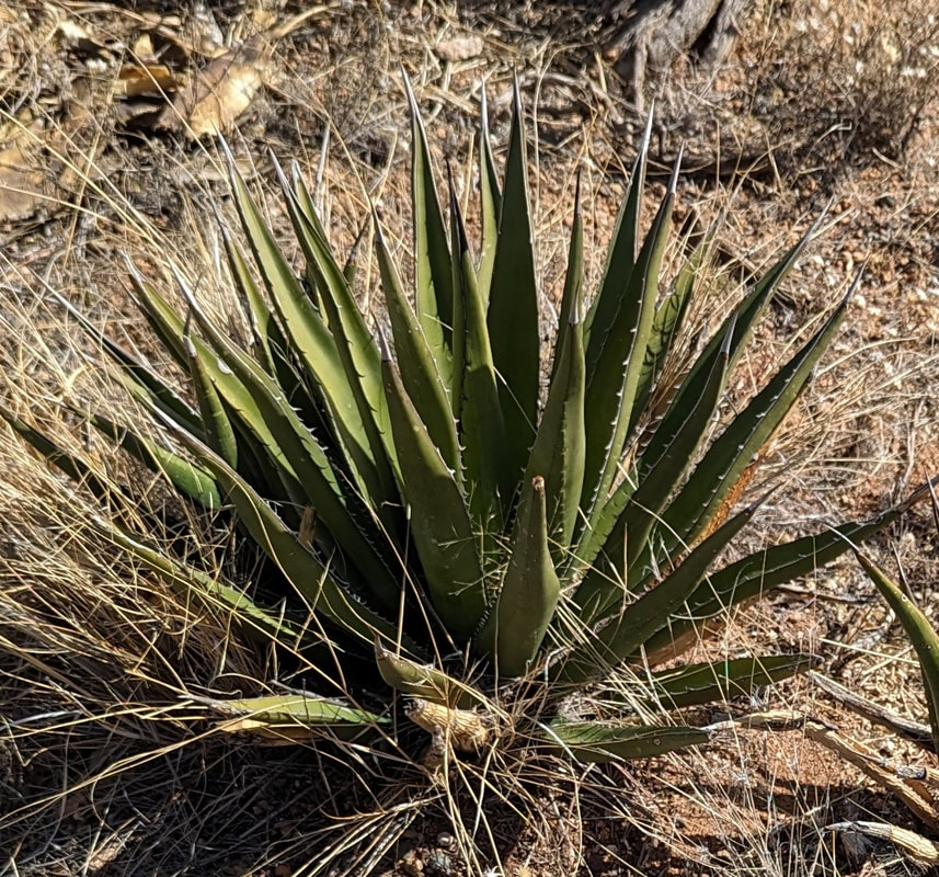
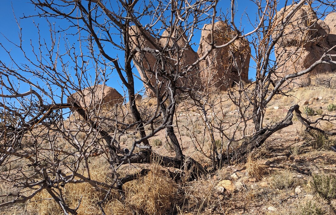
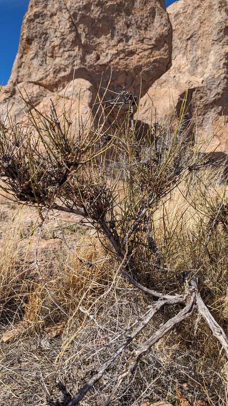
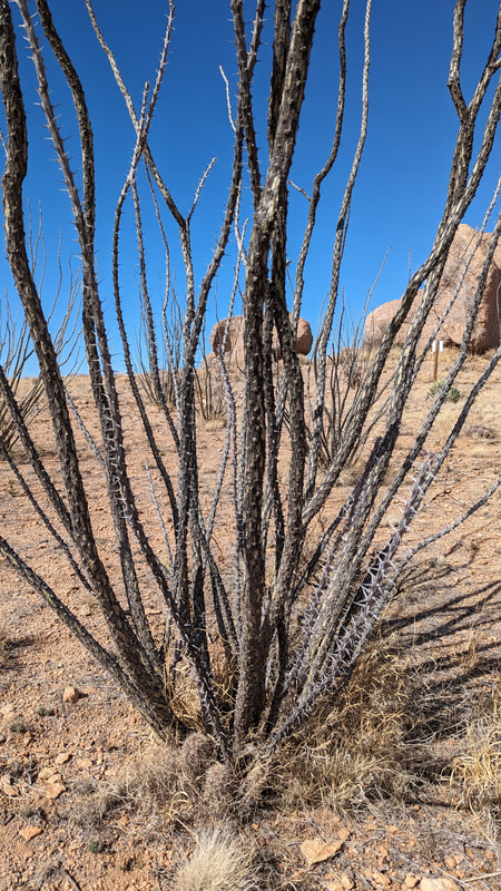
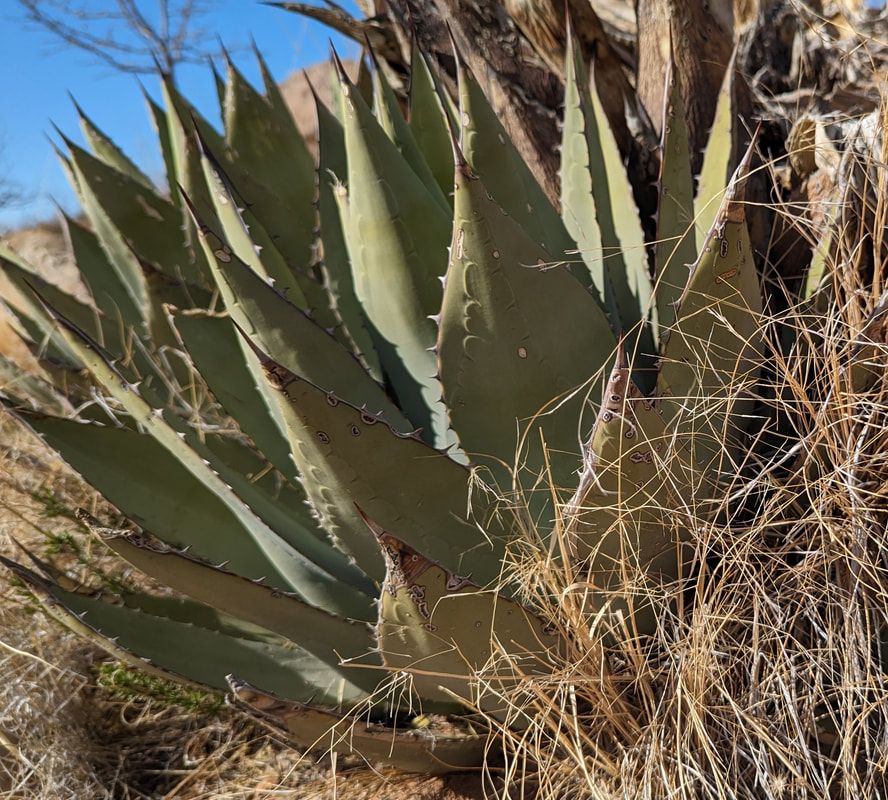
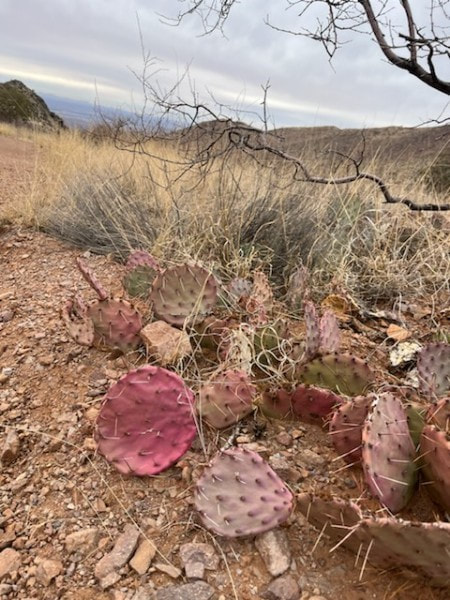
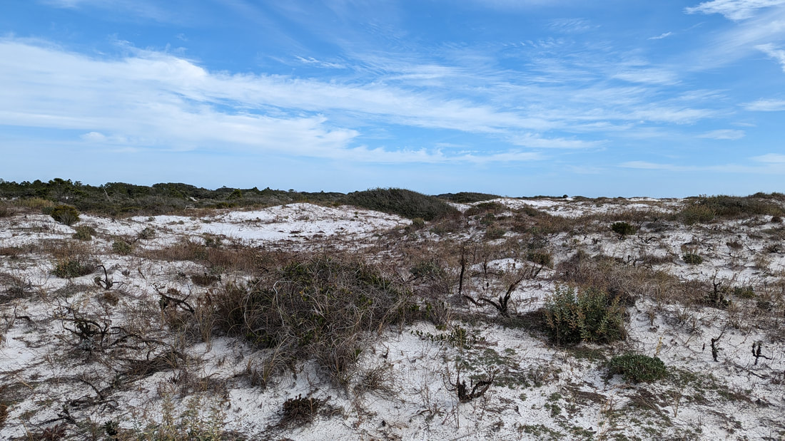
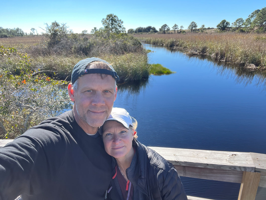
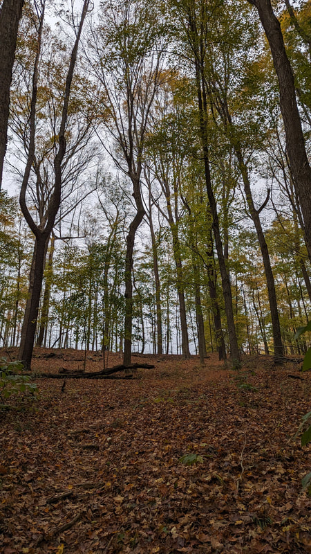
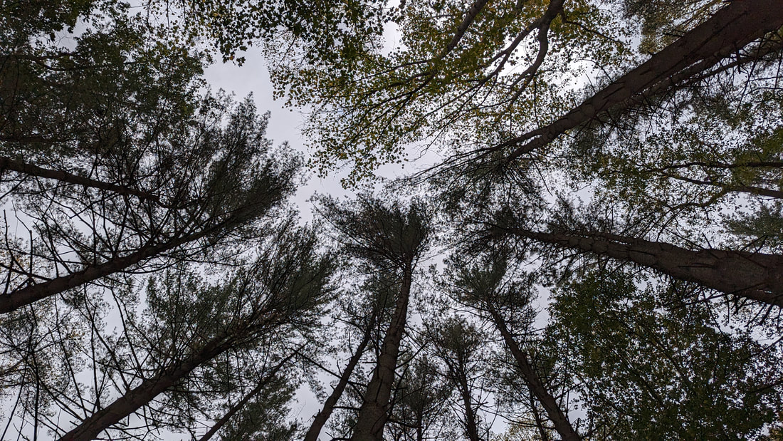
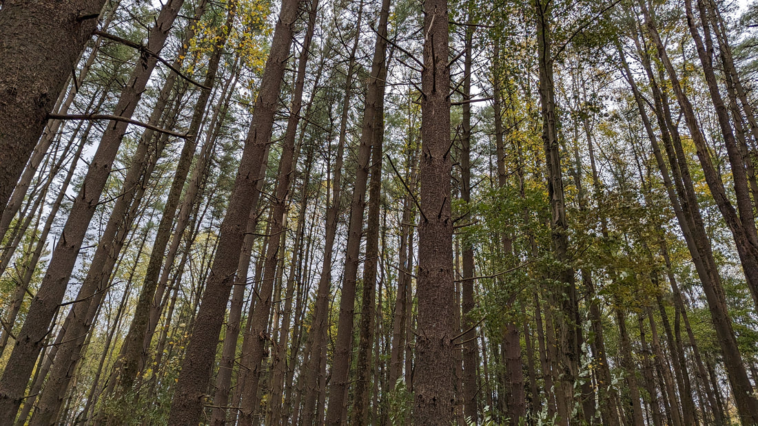
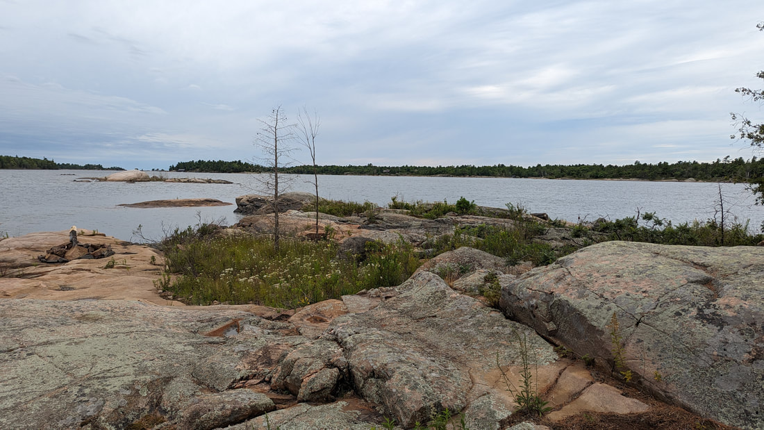
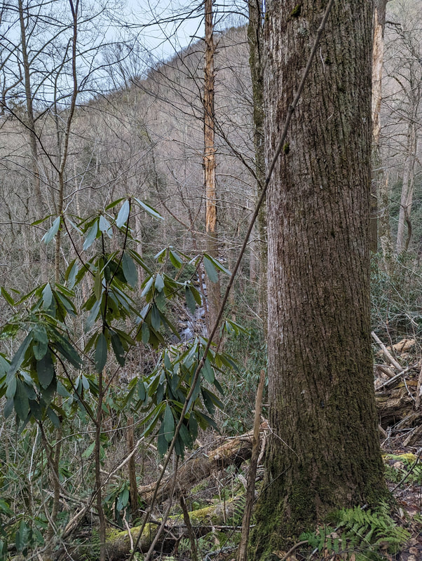
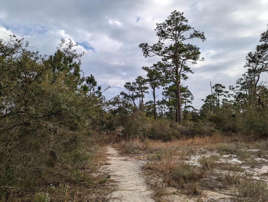
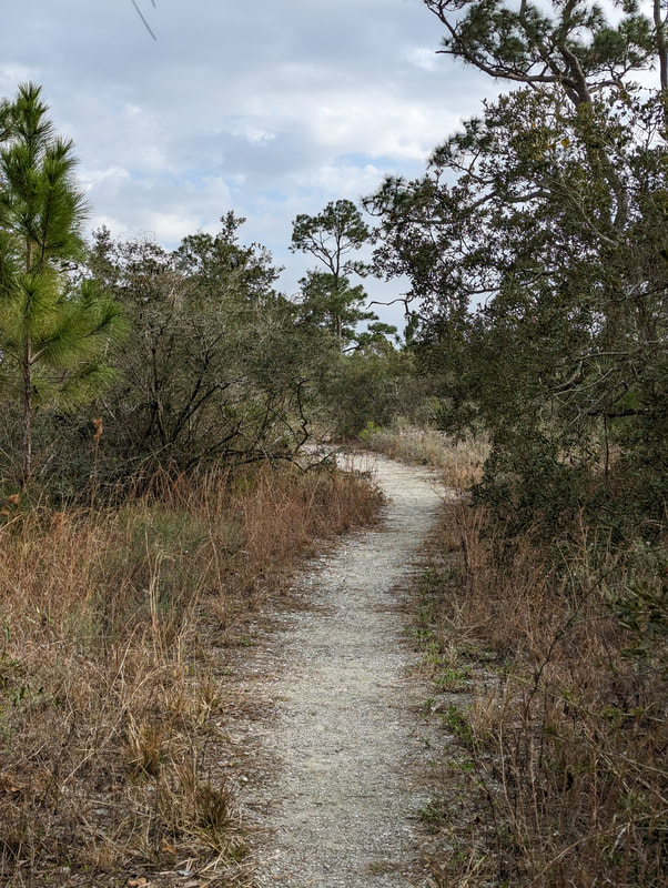
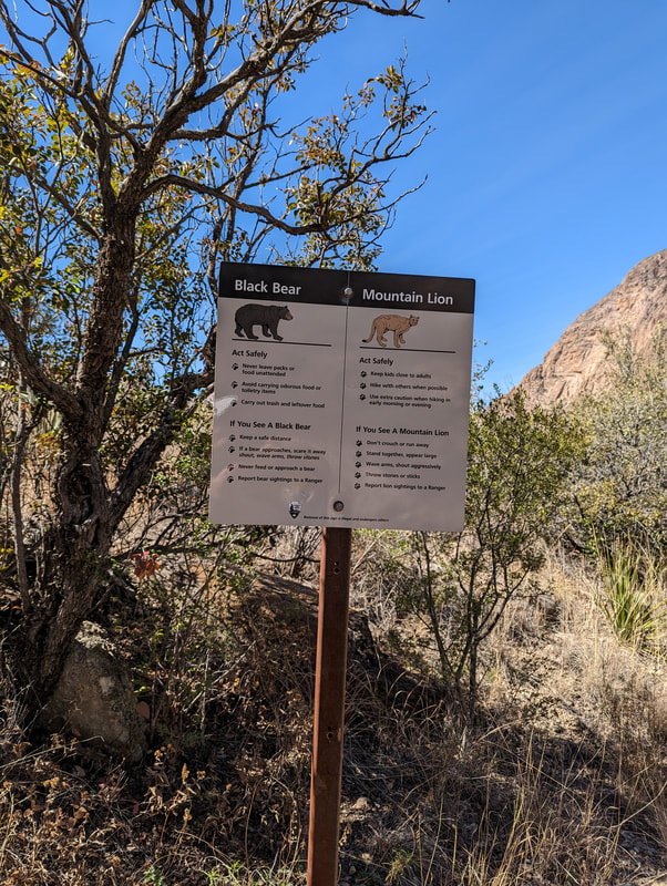
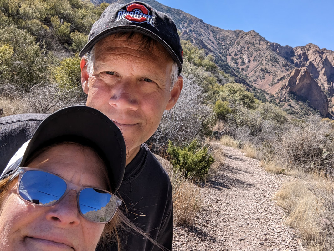
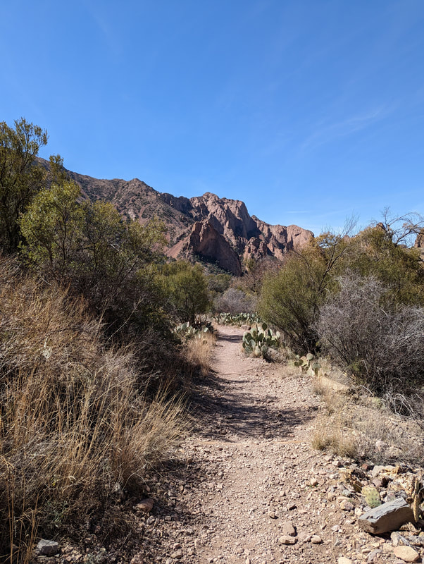
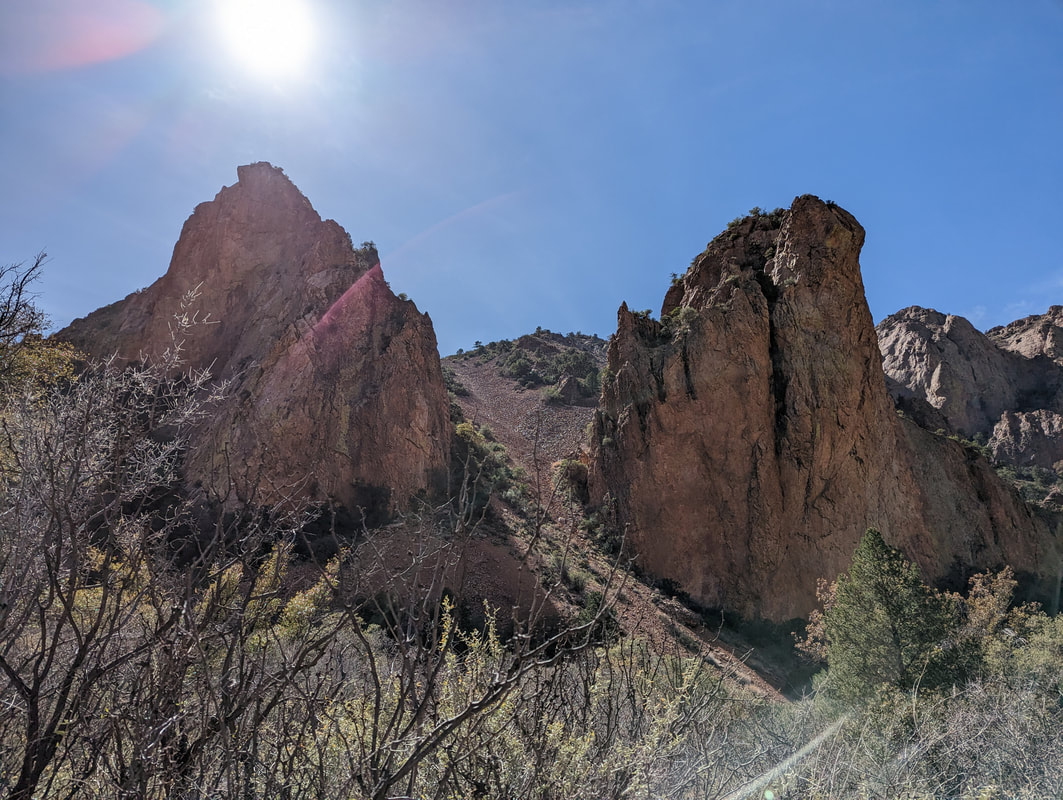
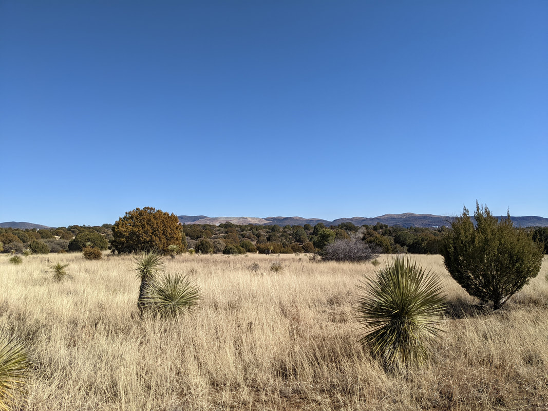
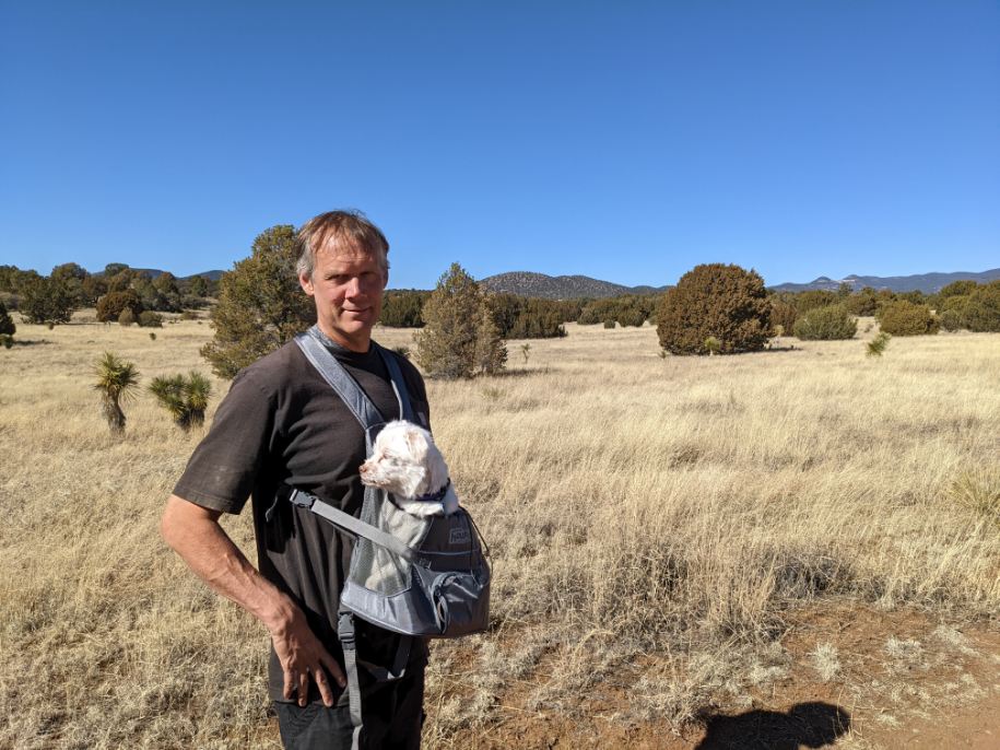
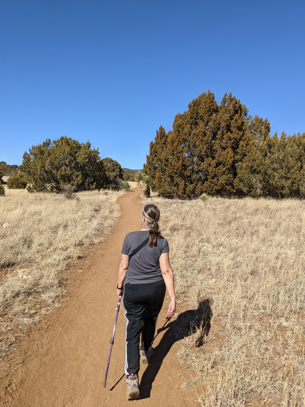
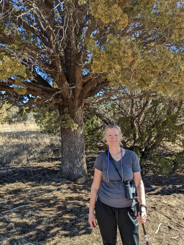
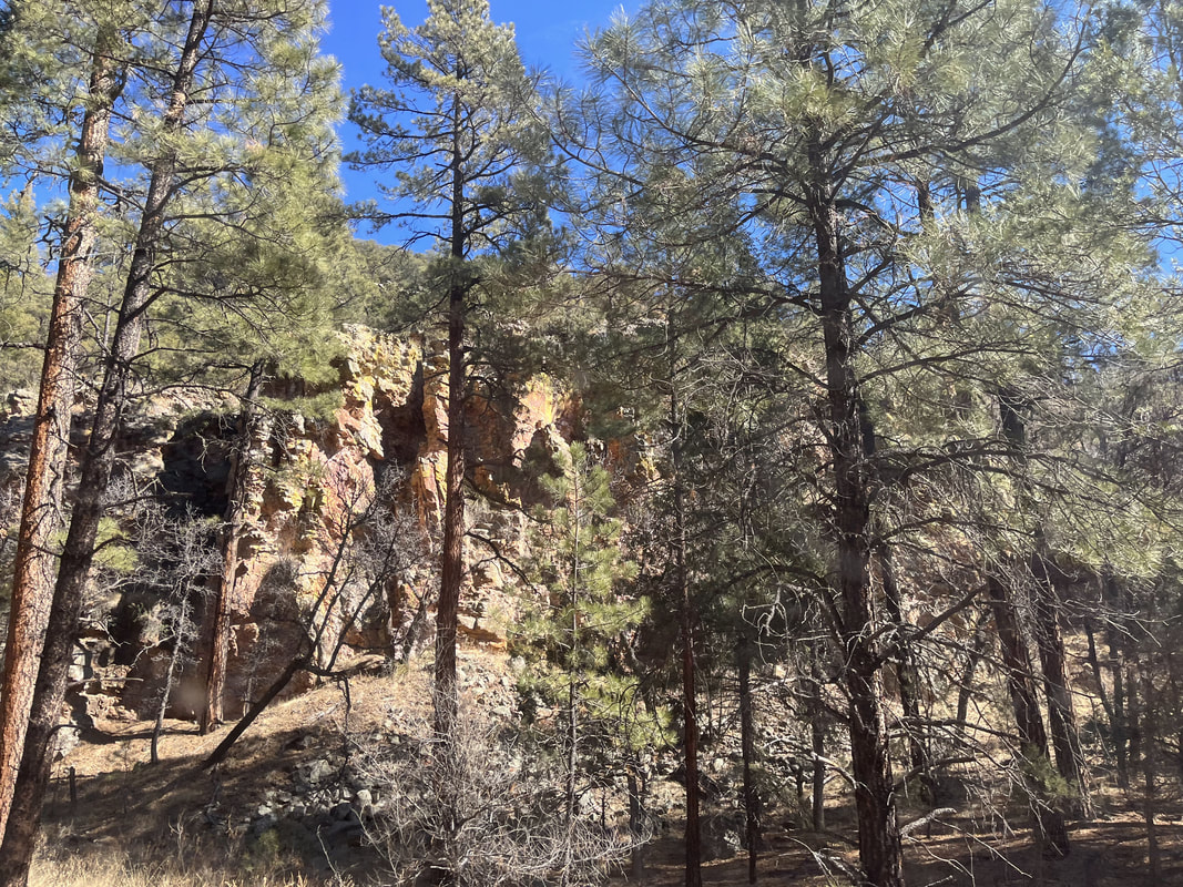
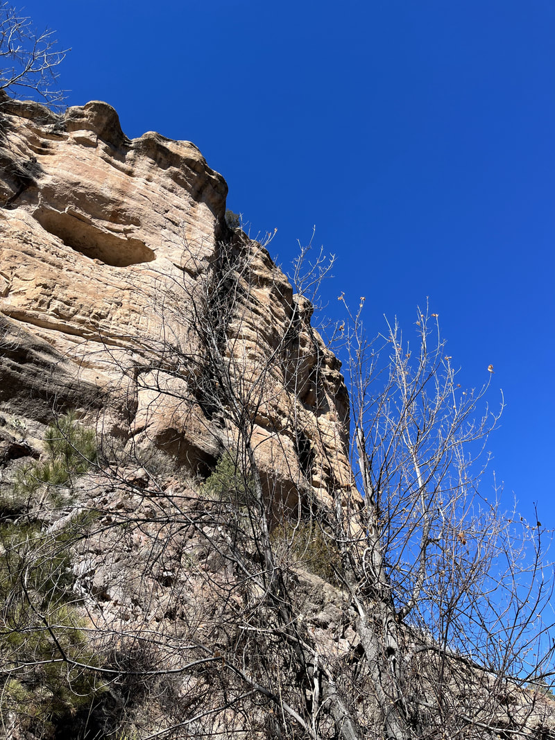
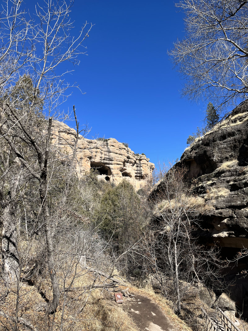
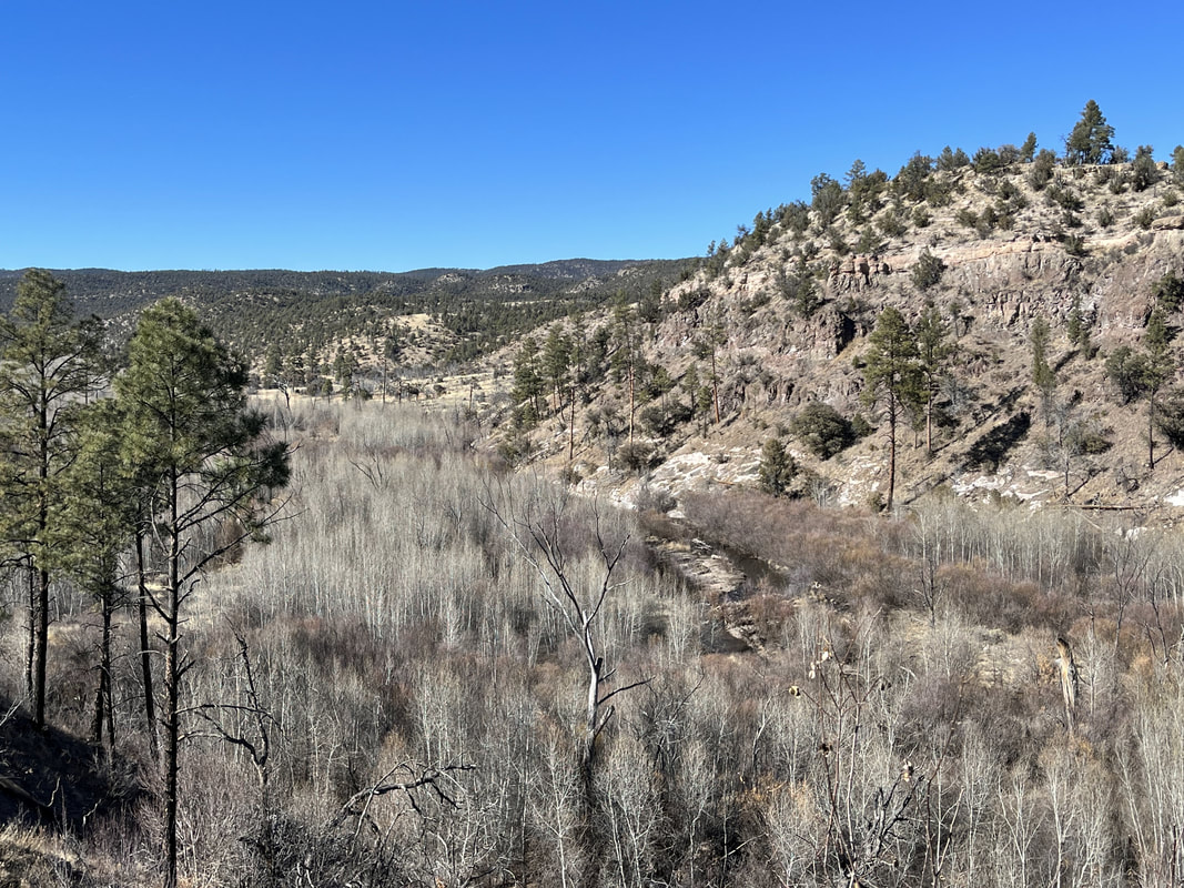
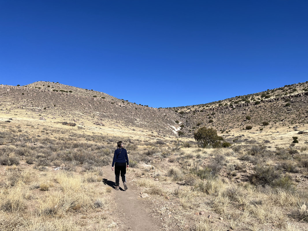
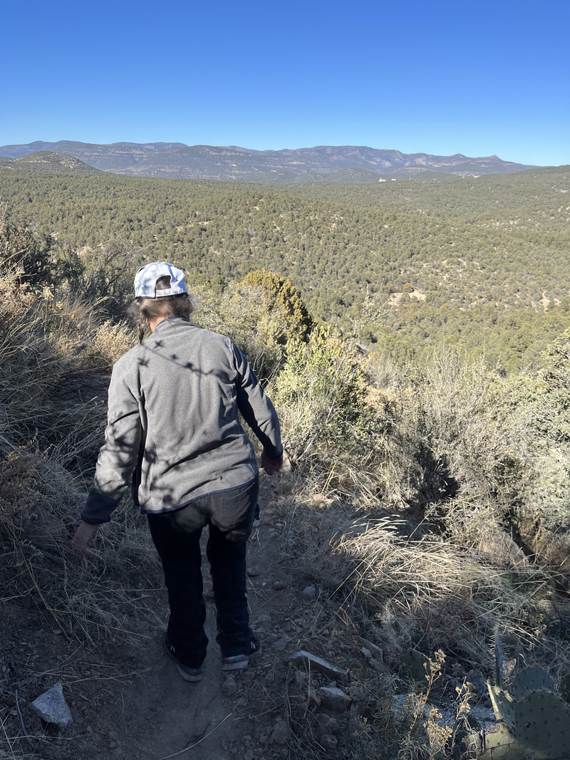
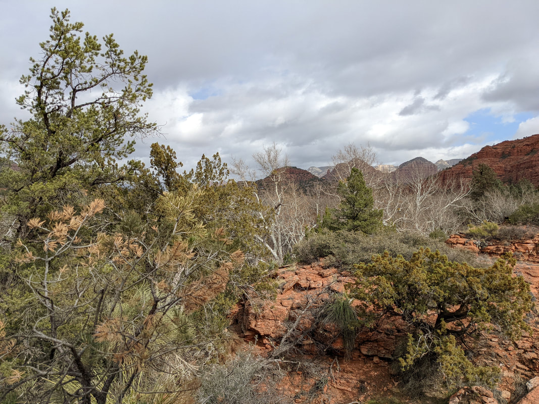
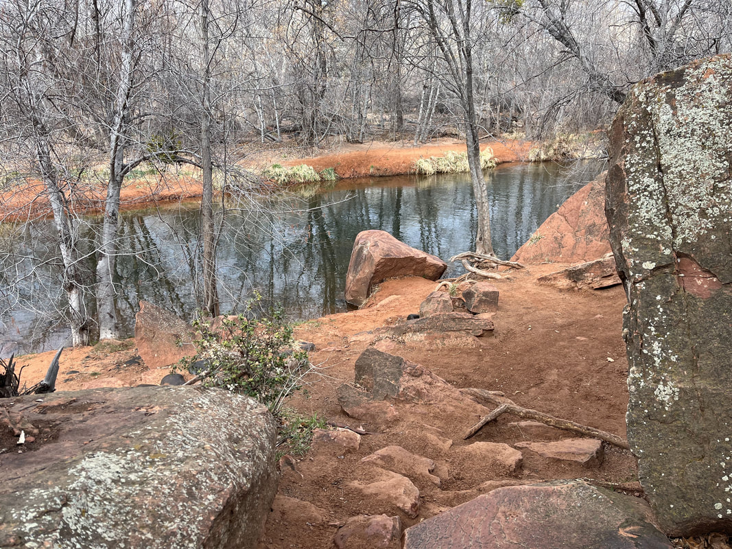
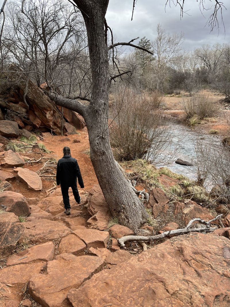
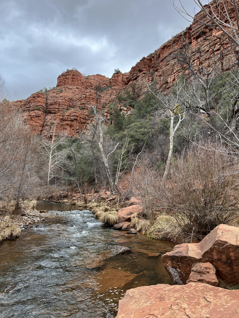
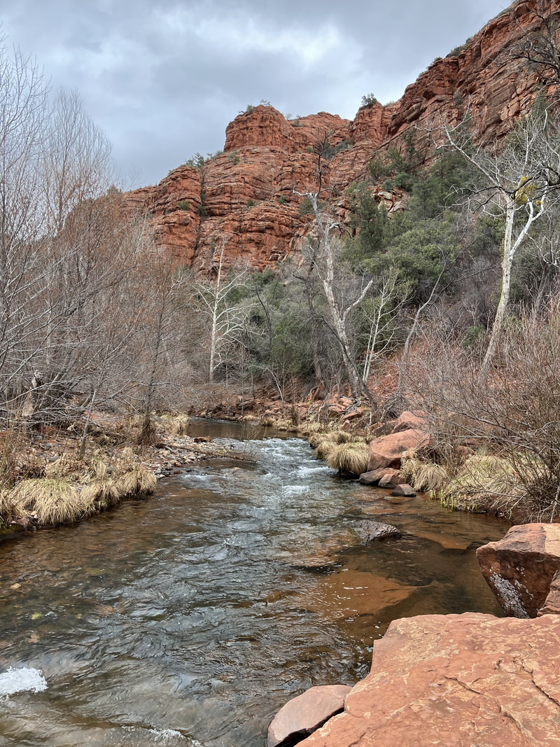
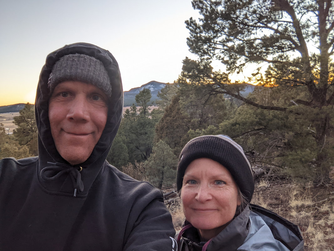
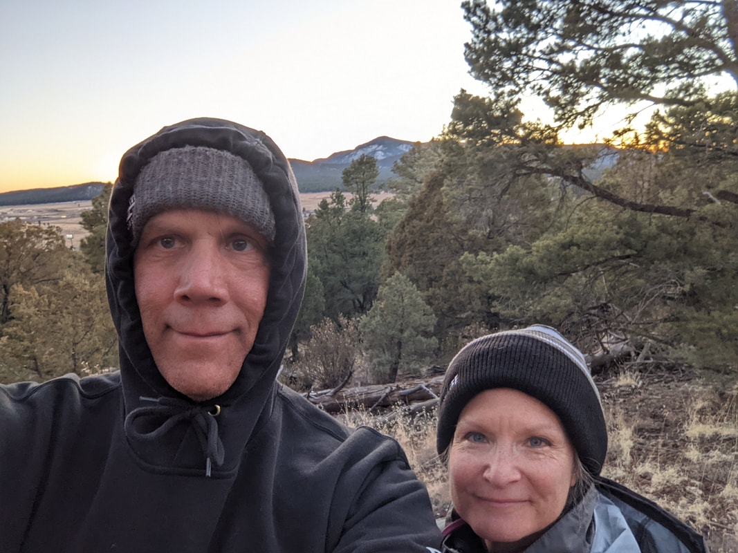
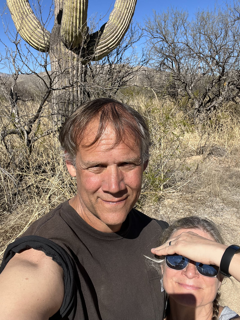
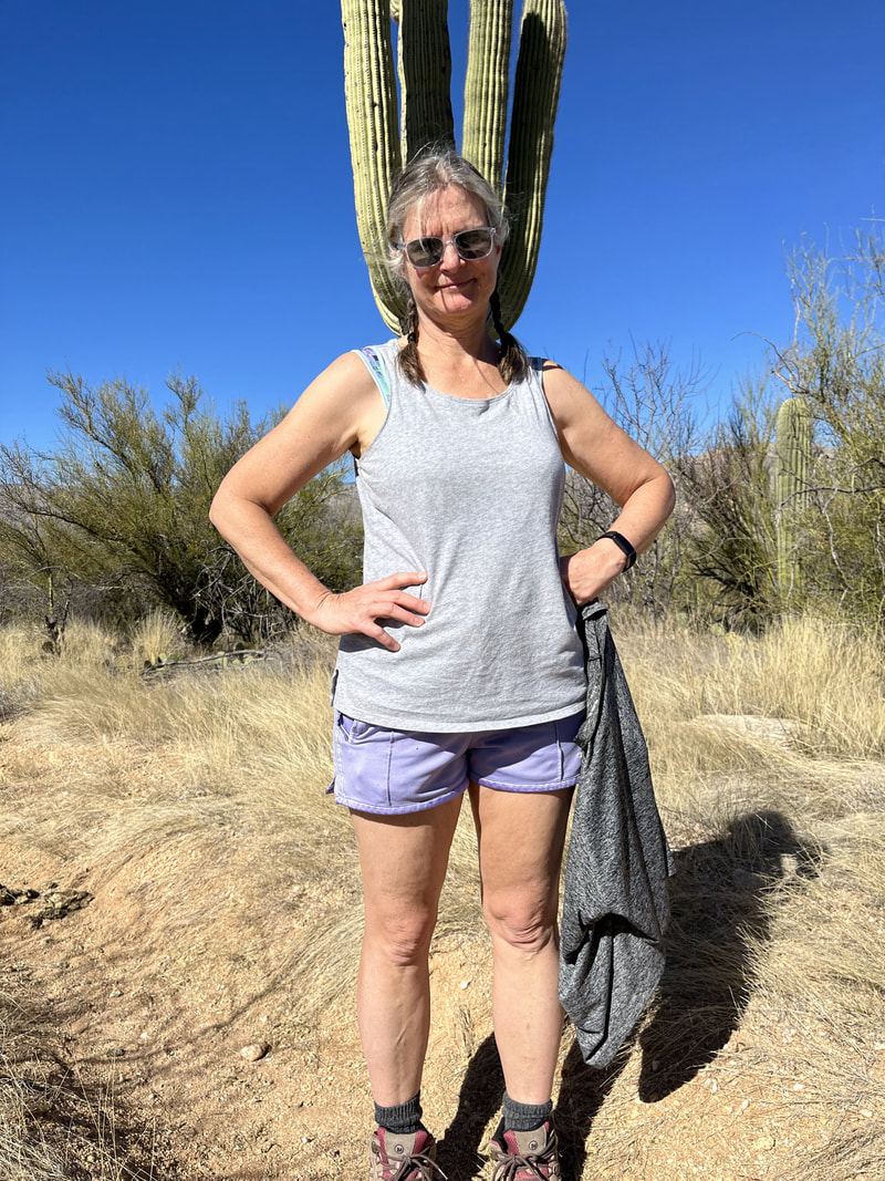
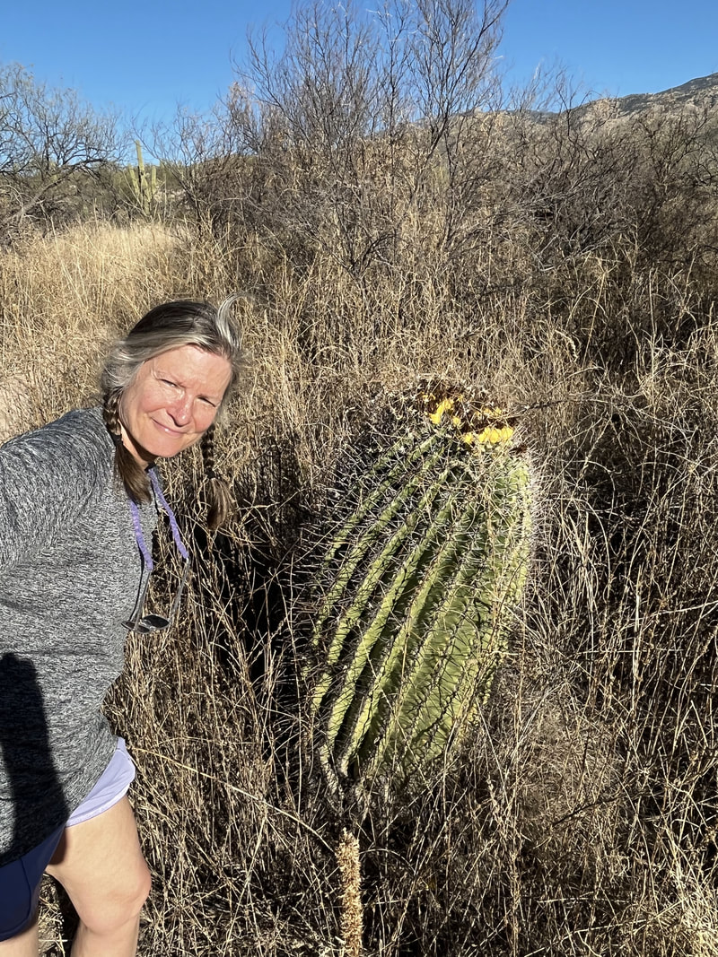
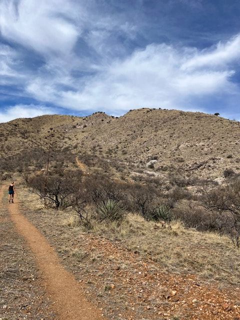
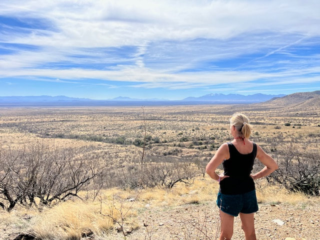
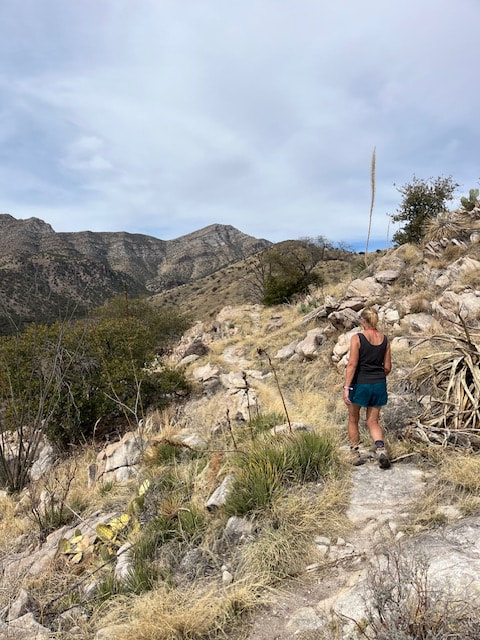
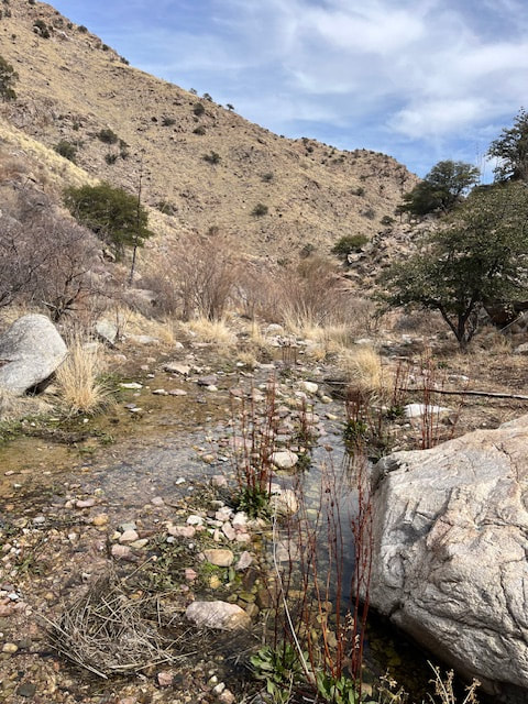
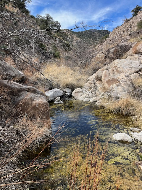
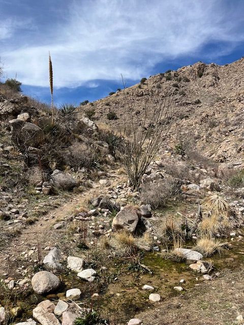
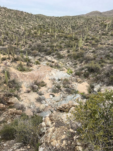
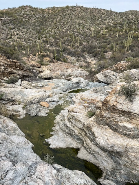
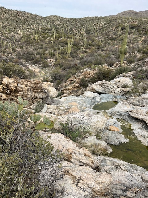
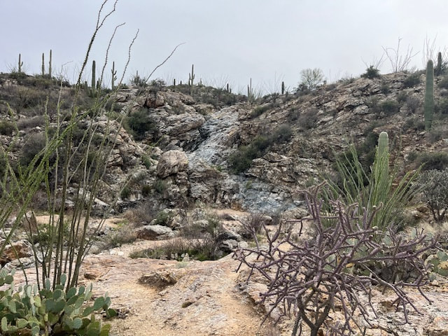
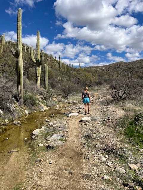
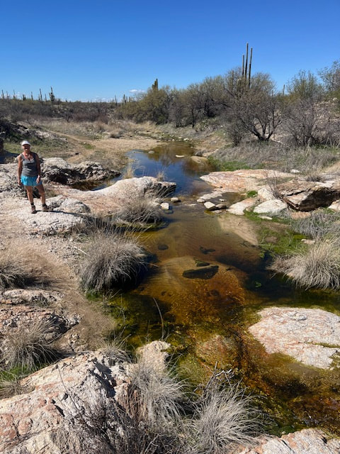
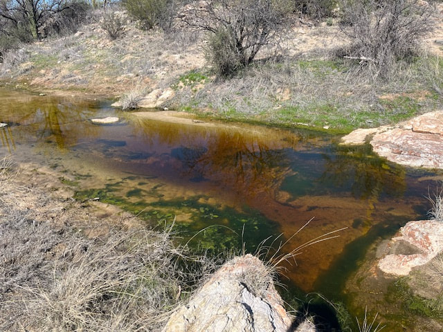
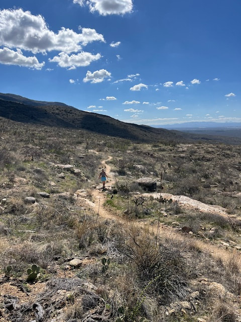
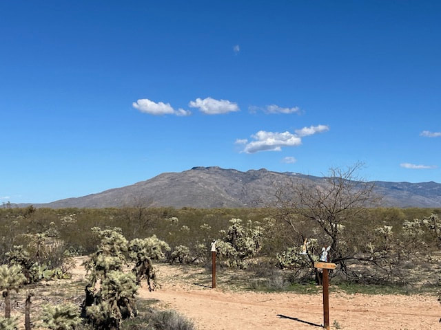
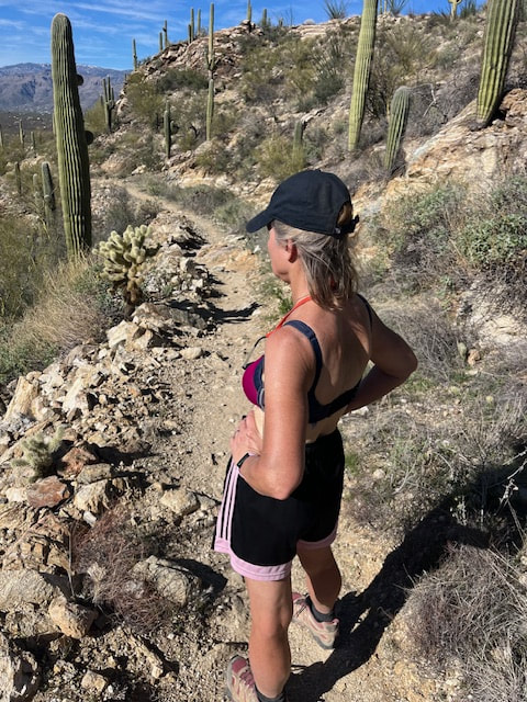
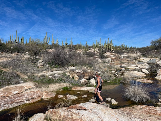
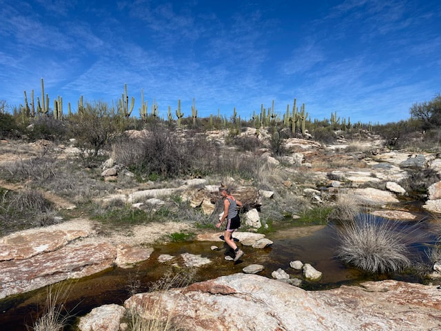
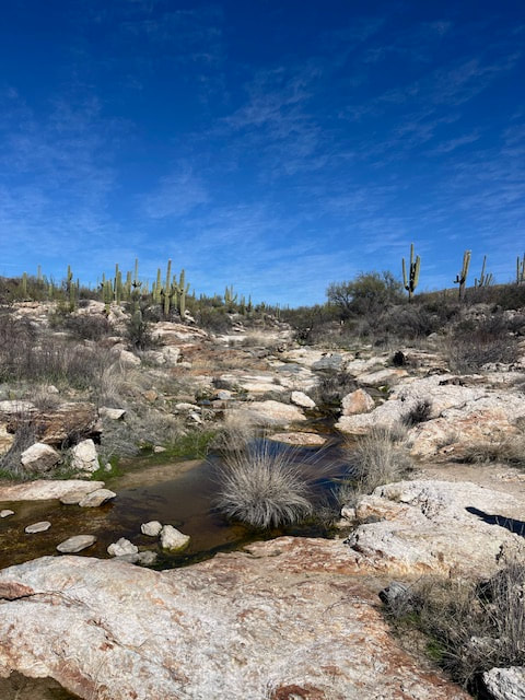
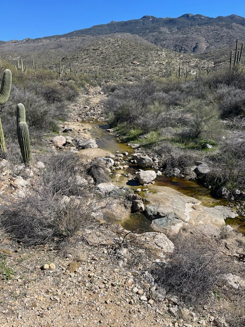
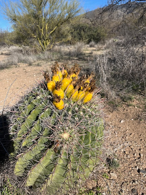
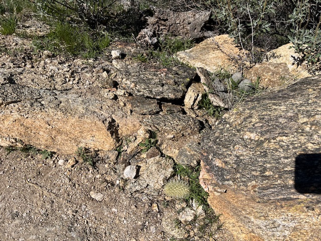
We got up early because we wanted to get a hike in that was 45 minutes away and have time for lunch at a Mexican restaurant. We had our coffee and exercised and then we headed to Kartchner Caverns State Park, which we knew about because we went there a few times a couple years ago when we stayed at the Benson KOA. We wanted to do the Guindani Trail again, so that's what we did. It was a beautiful day and the hike was awesome. This year, there was water in the stream on the back side of the mountain. Scott noticed this time that there are no saguaro cacti around here, just agave, prickly pear, and maybe small barrel cactus. Lots more trees and bushes.
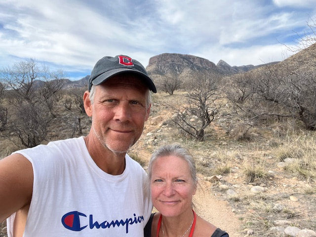
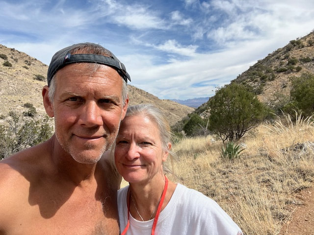
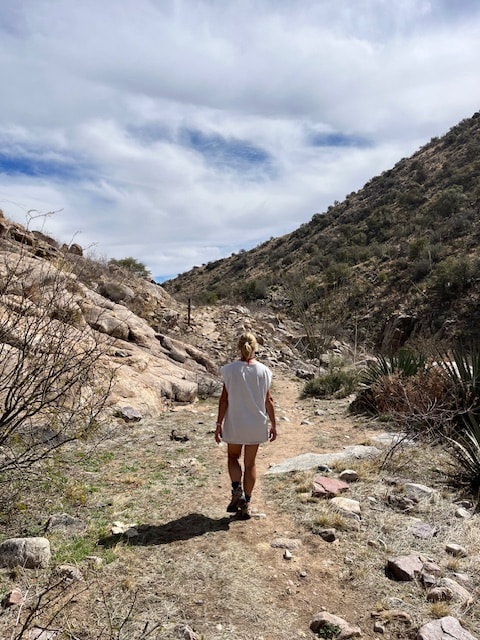
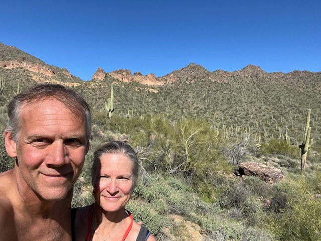
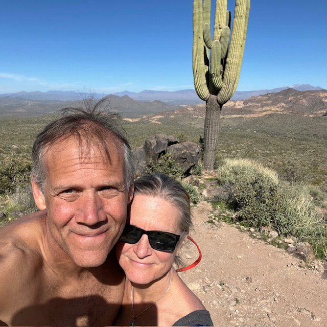
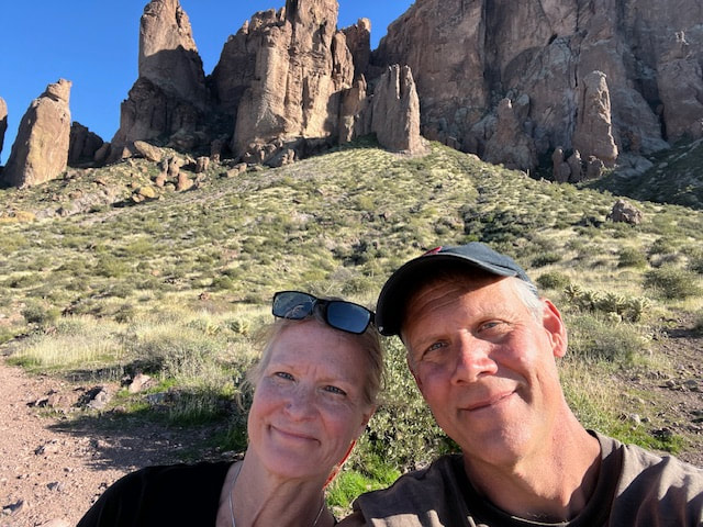
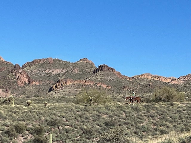
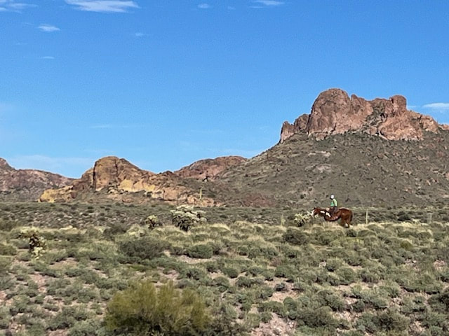
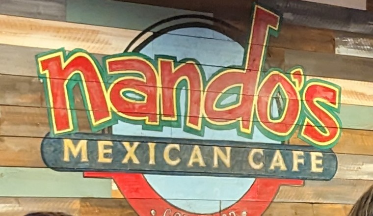
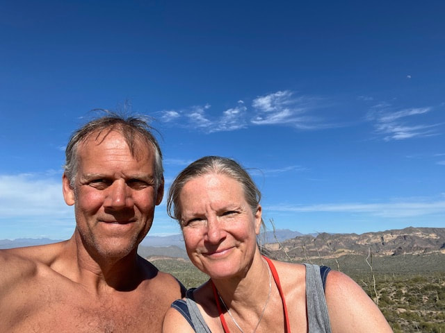
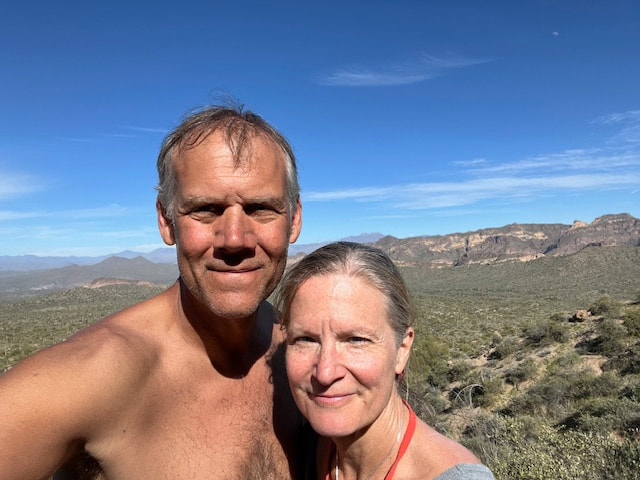
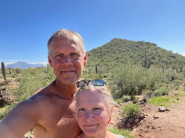
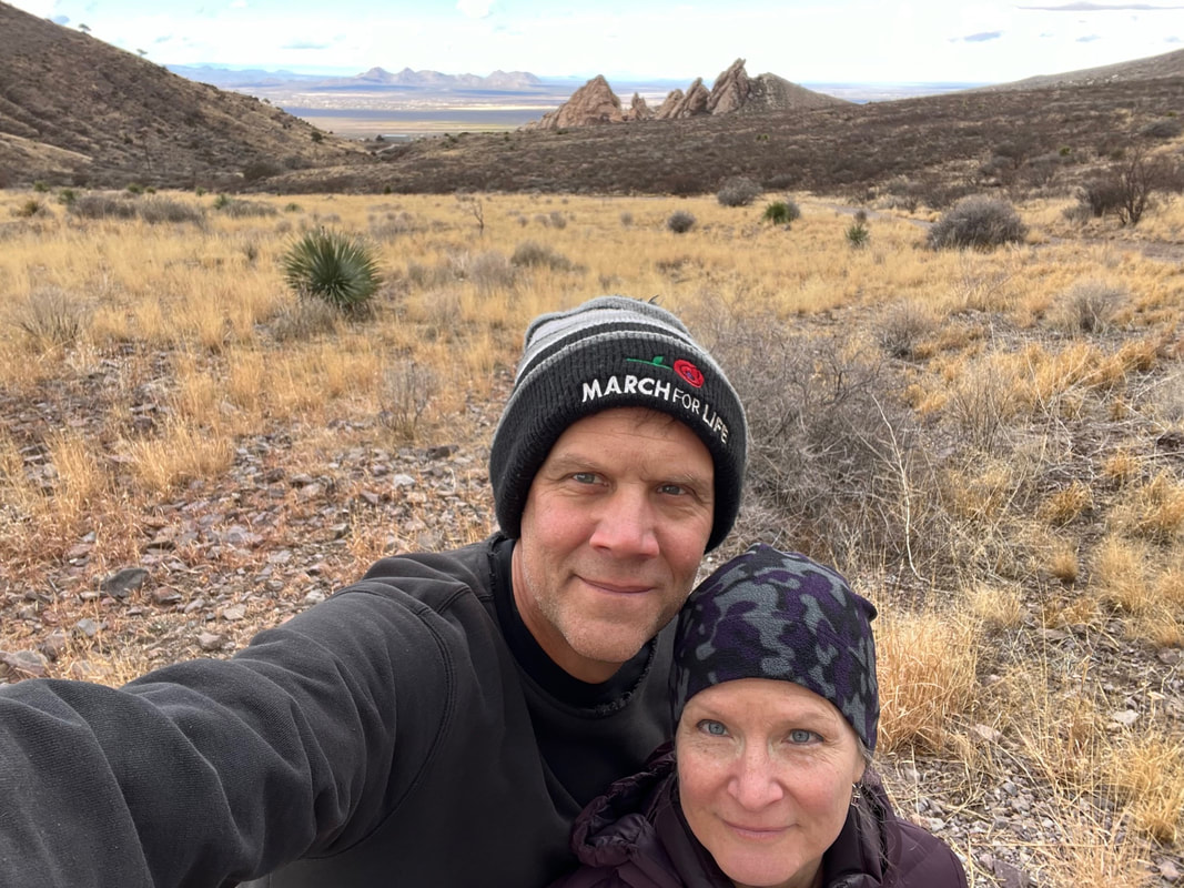
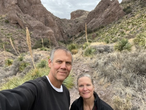
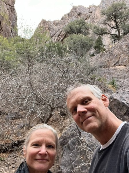
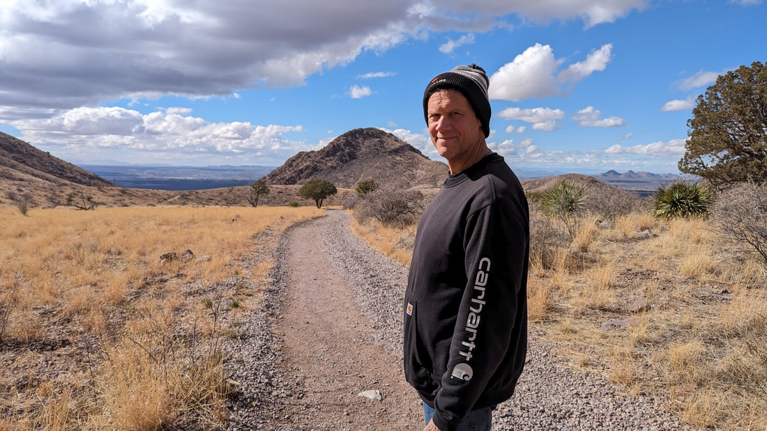
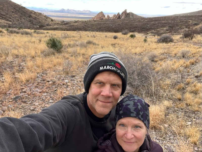
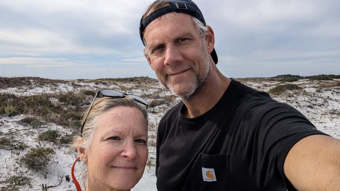
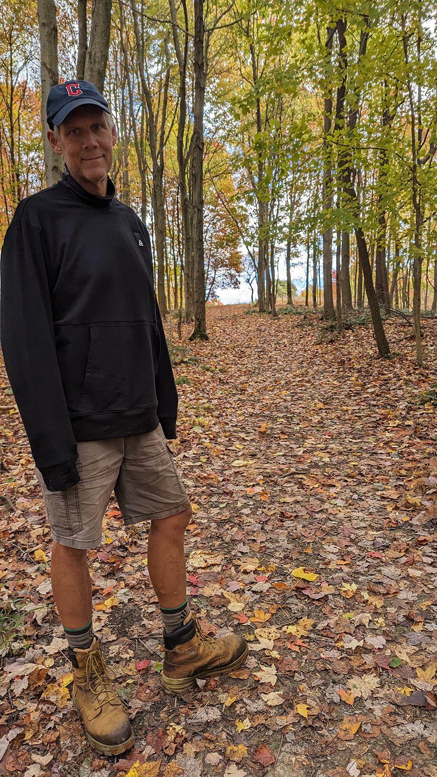
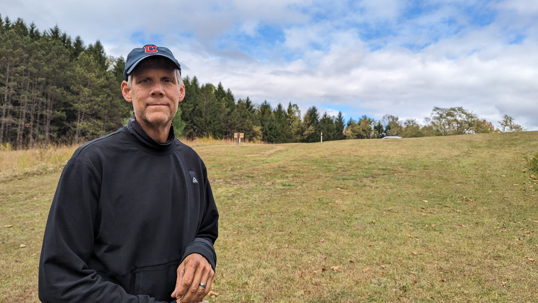
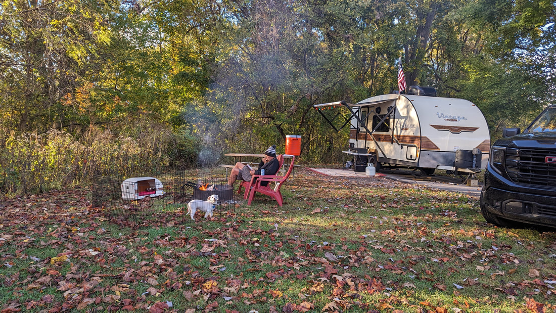
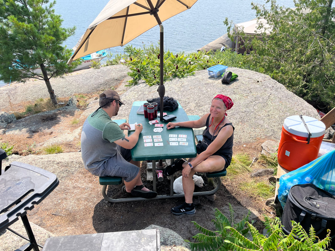
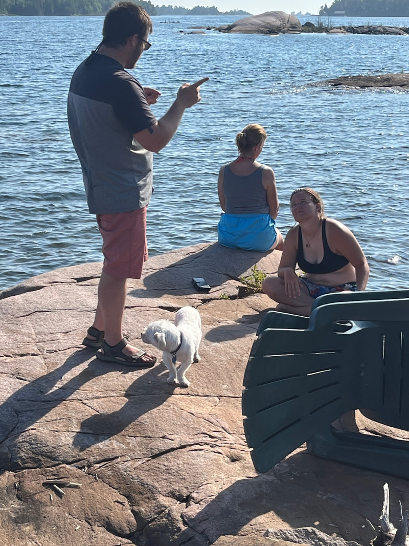
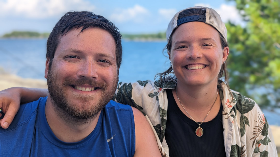
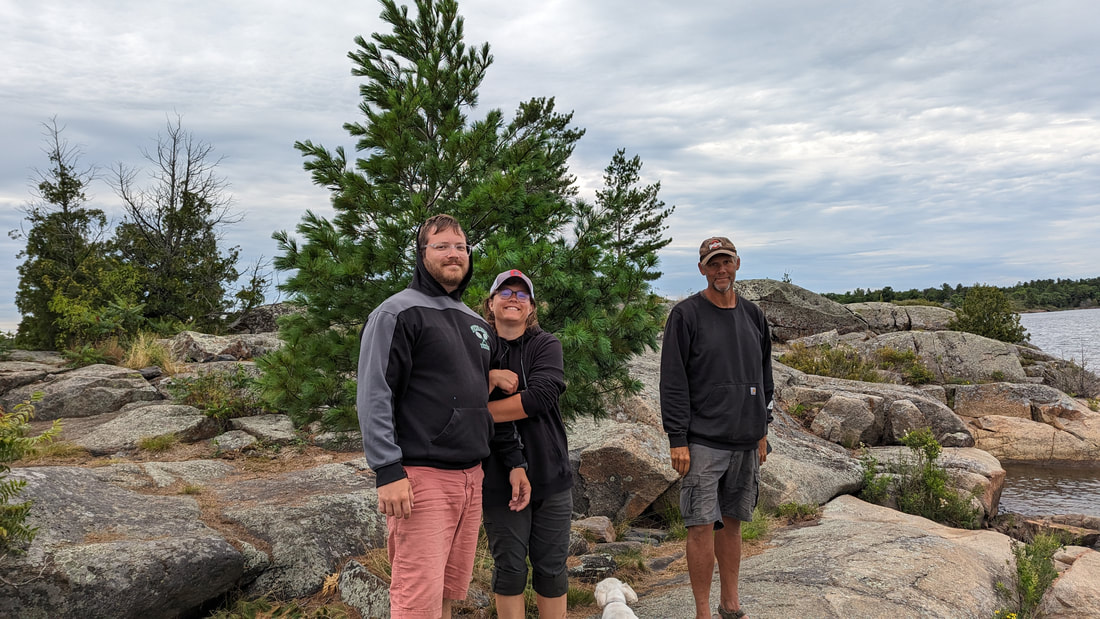
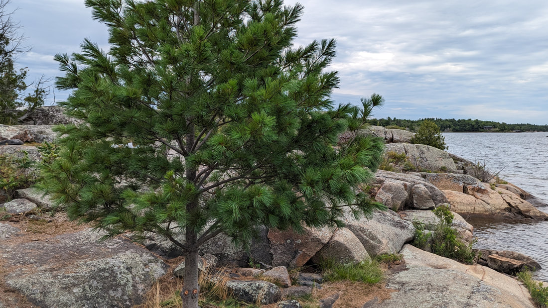
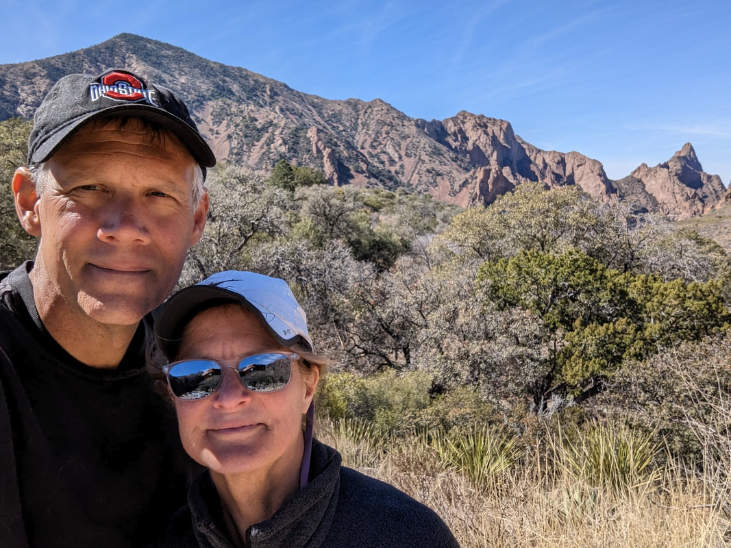
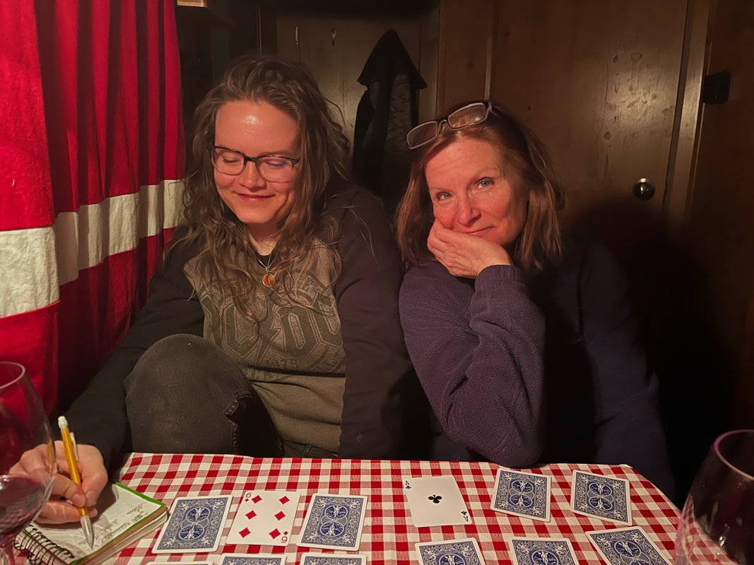
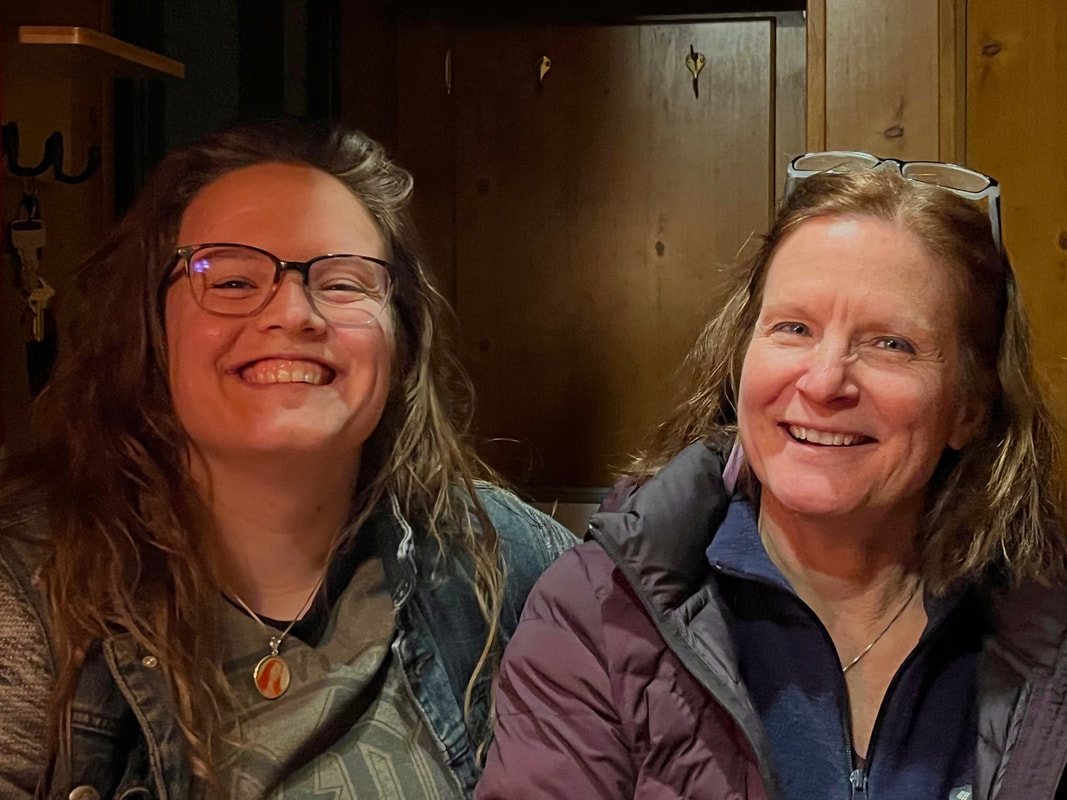
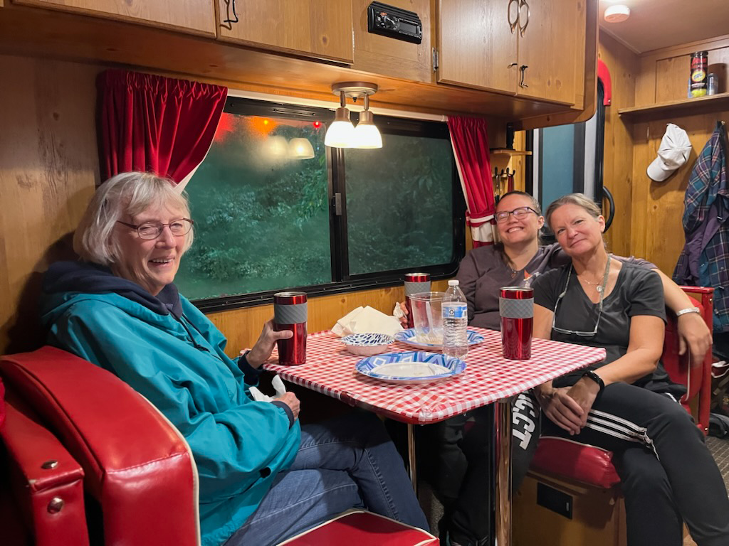
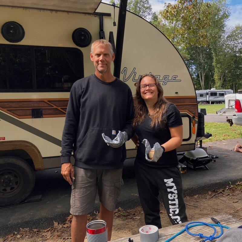
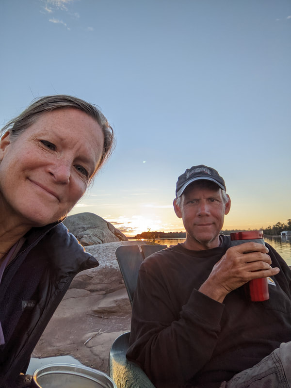
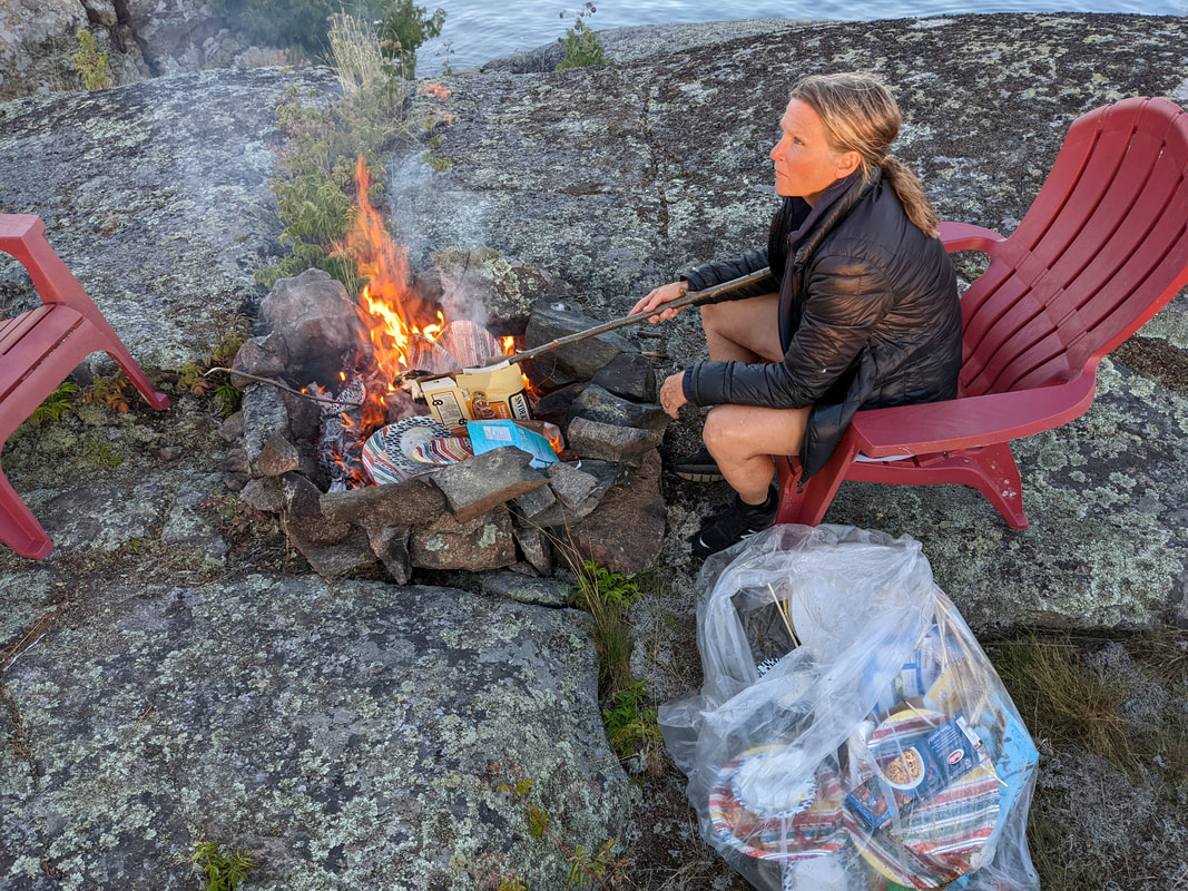
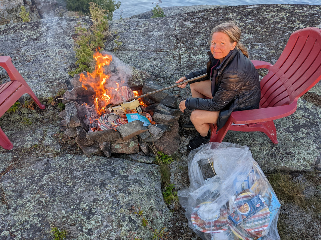
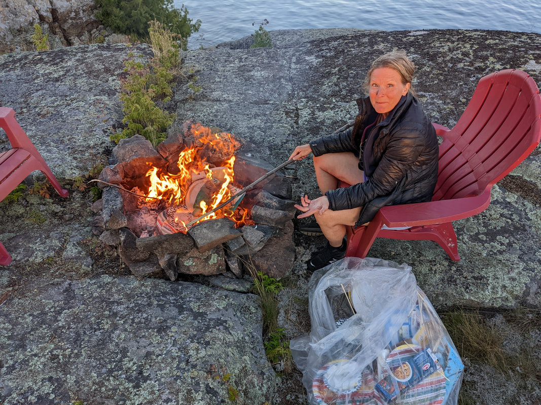
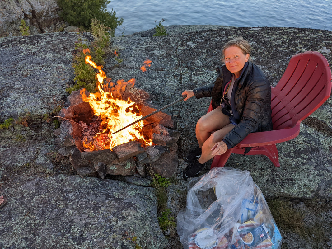
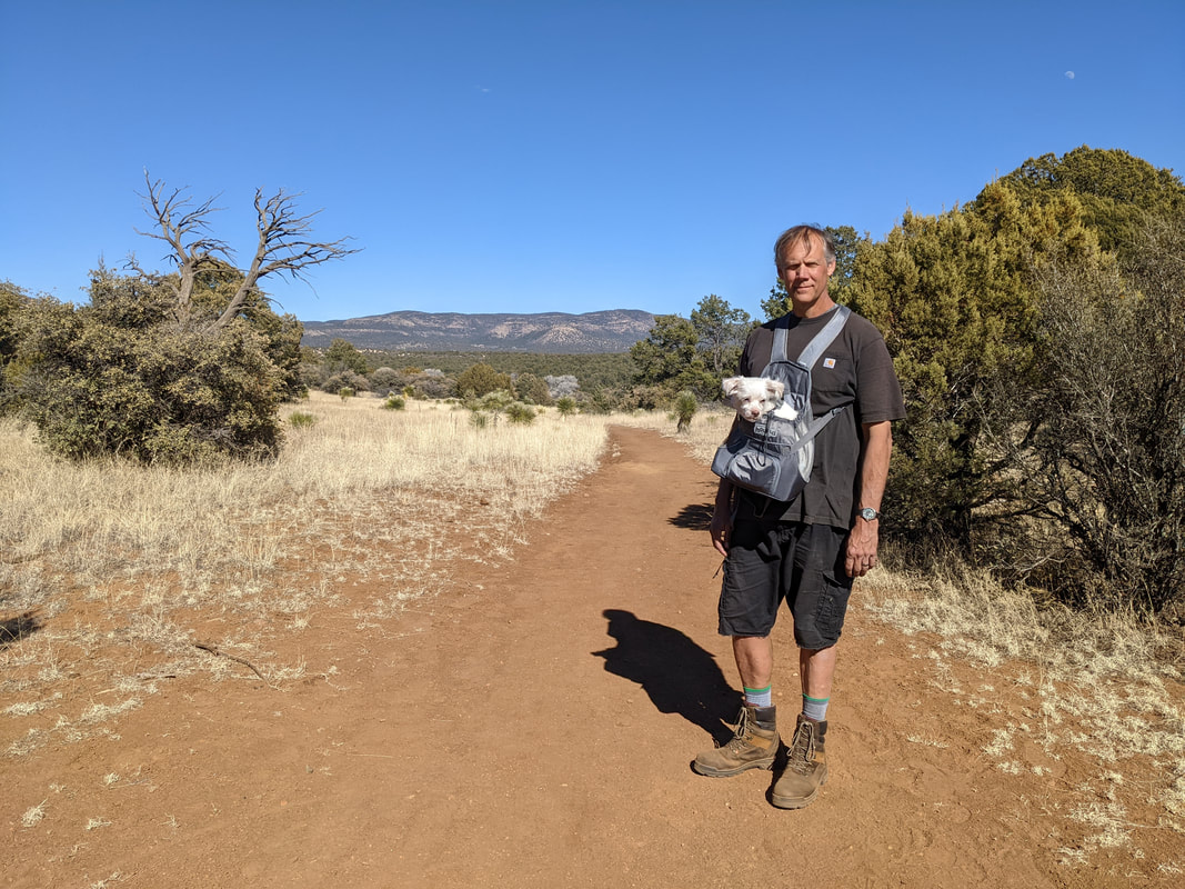
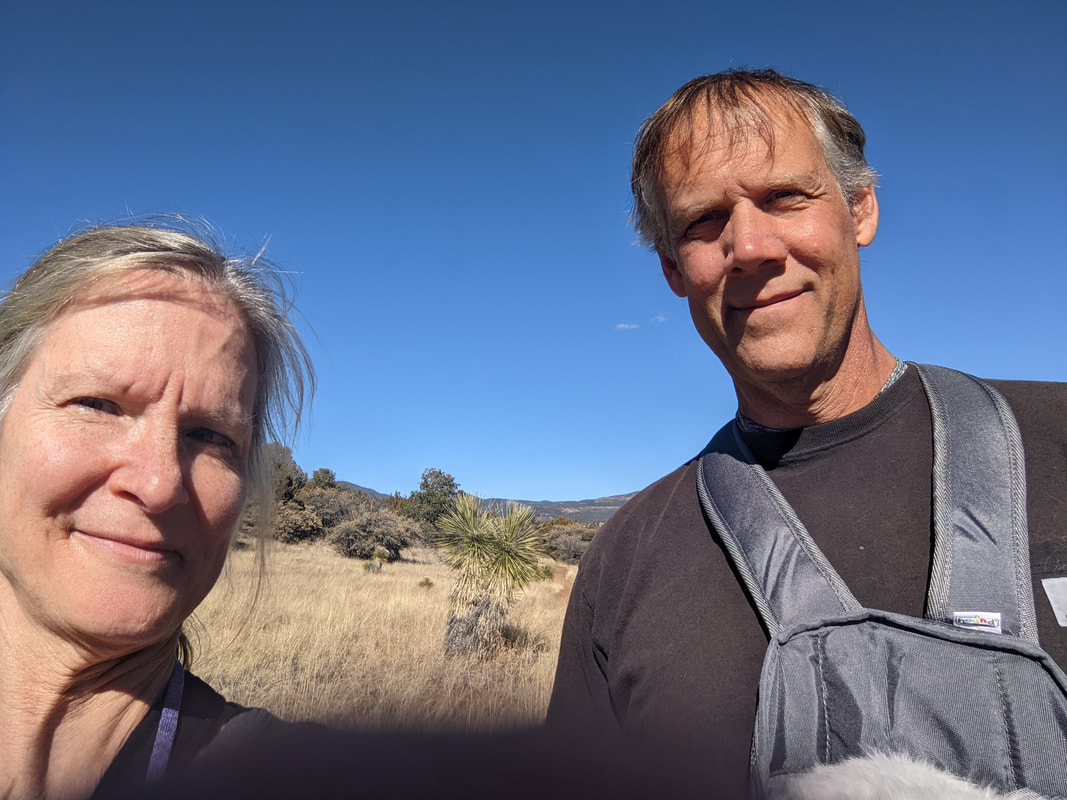
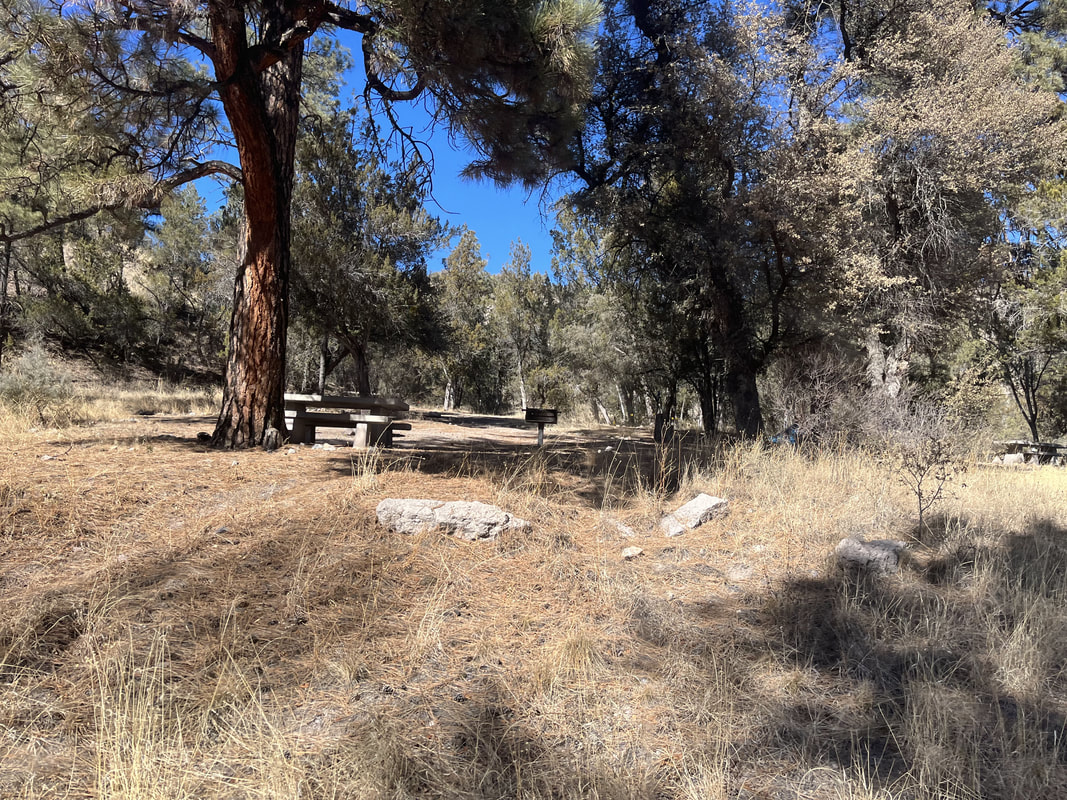
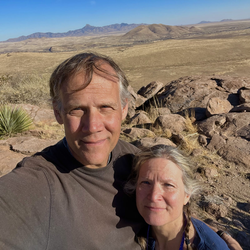
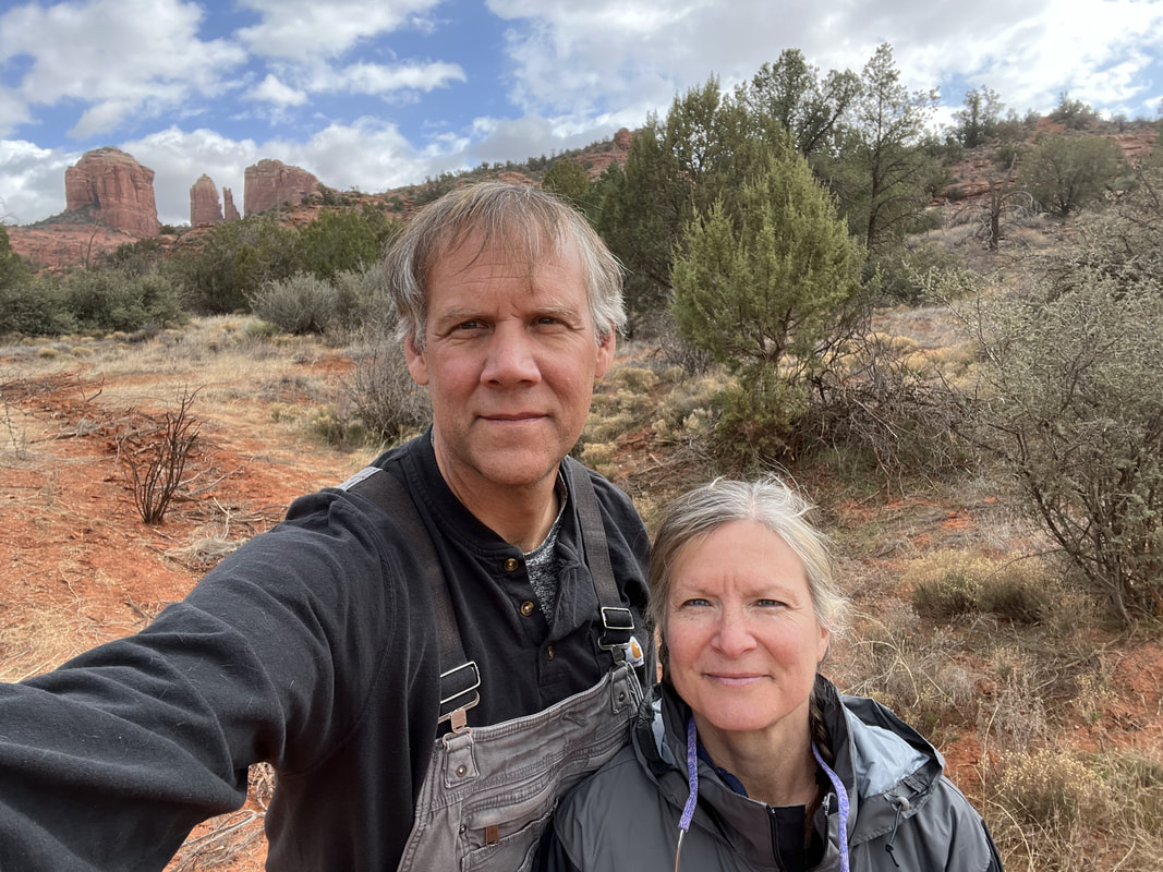
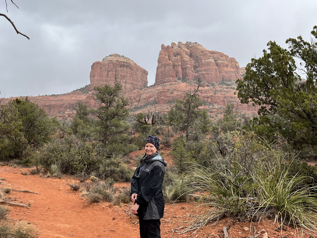
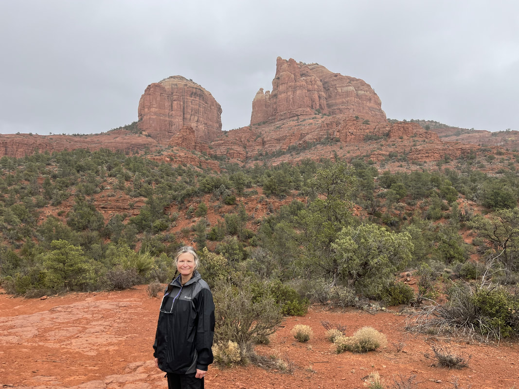
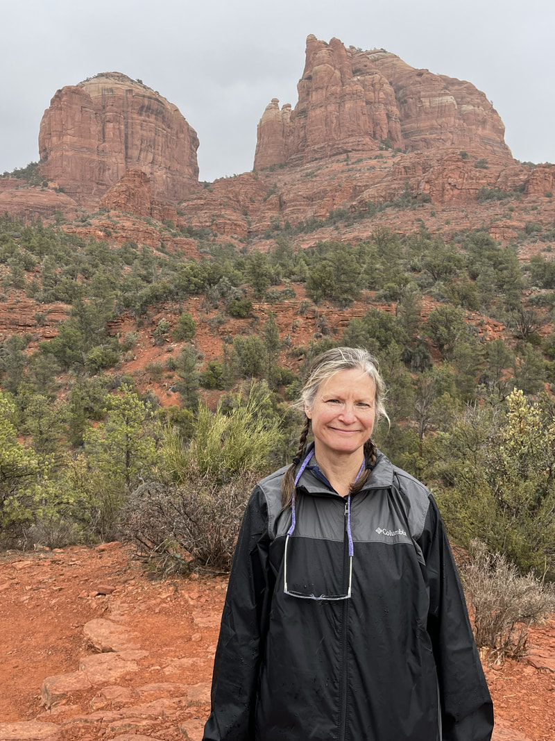
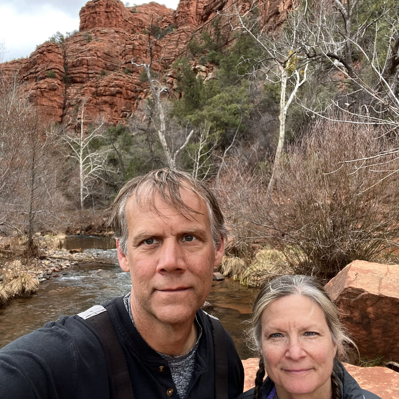
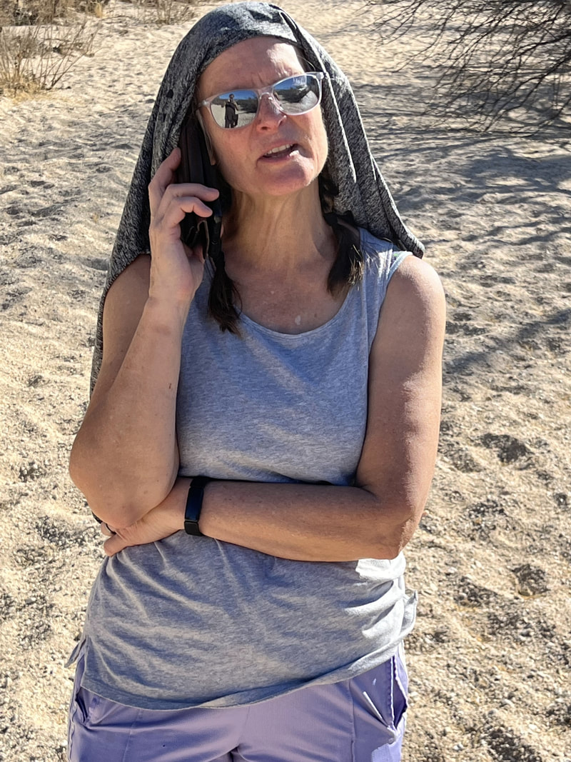
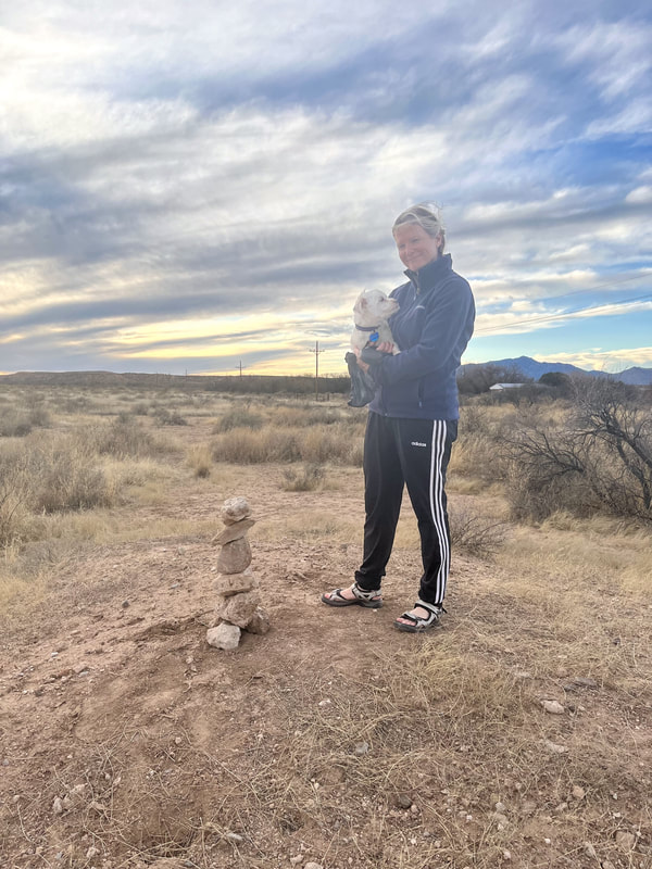
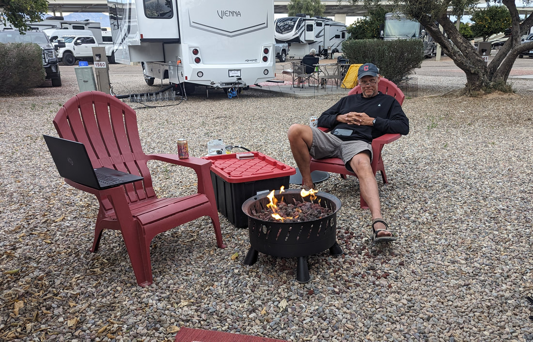
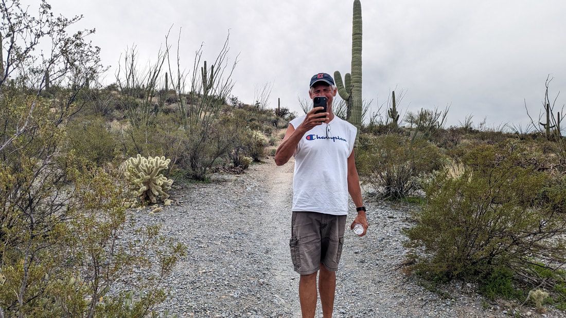
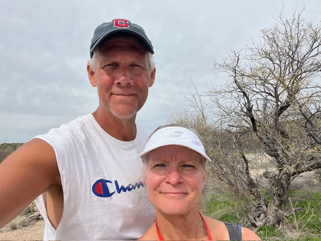
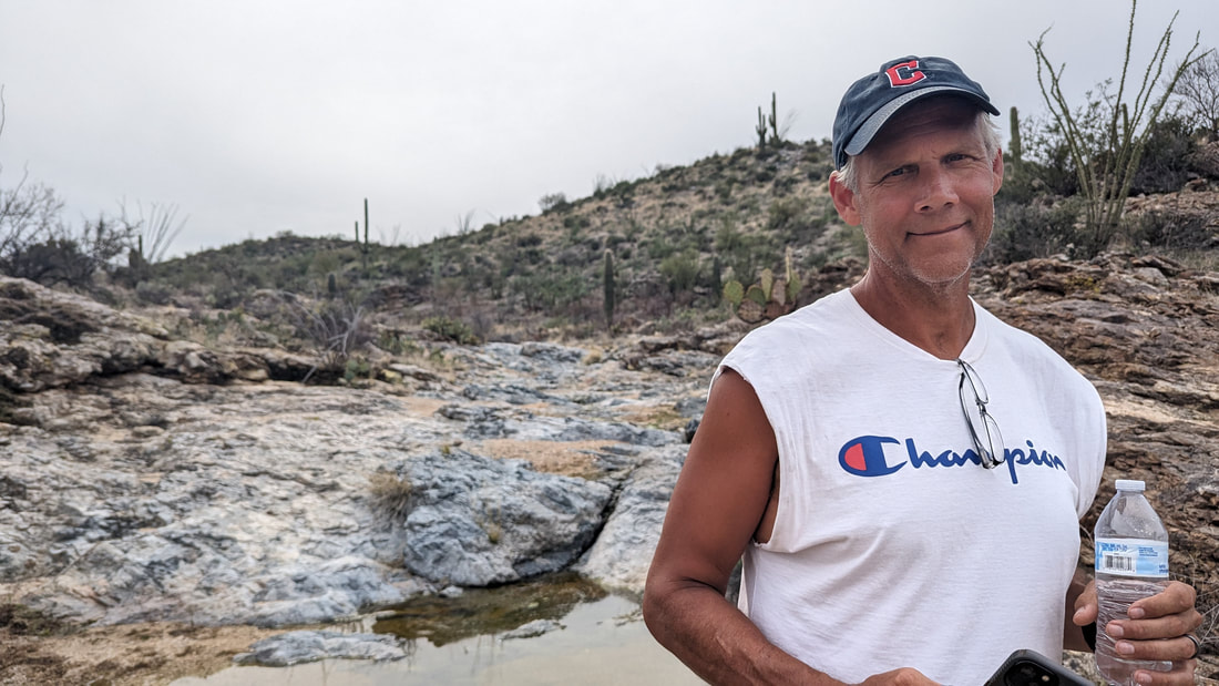
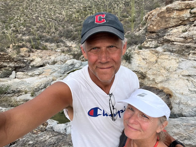
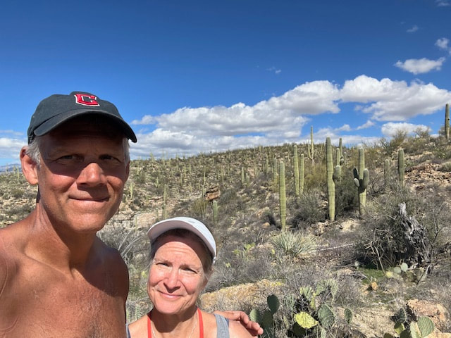
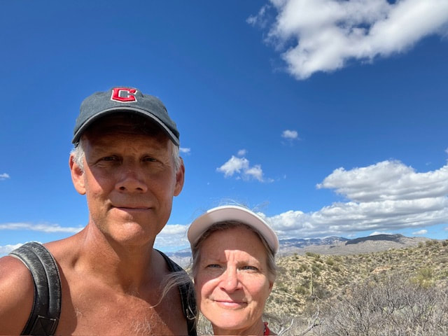
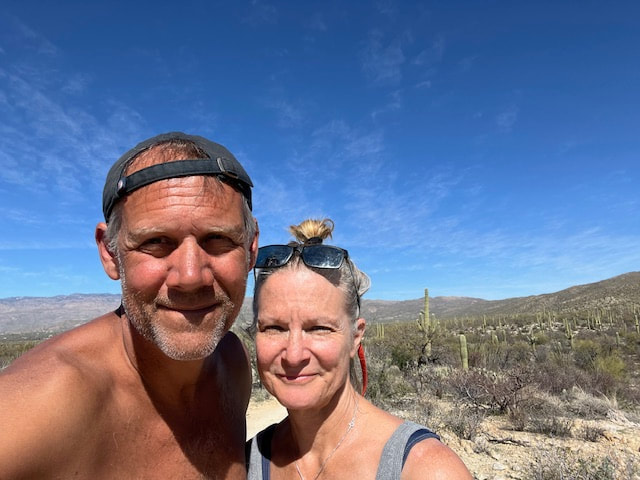
​It's mah 65th birthday today. I got to talk to Thome after our hike and Thomas in the morning. After our hike we tried a new (to us) Mexican restaurant, Little Mexico. It was cute but the food was not that great; maybe we were maxed out on Mex. After we got back to the KOA, we rode our bikes around the campground for an hour. It was very pleasant, and lots of people were sitting outside or walking their dogs.

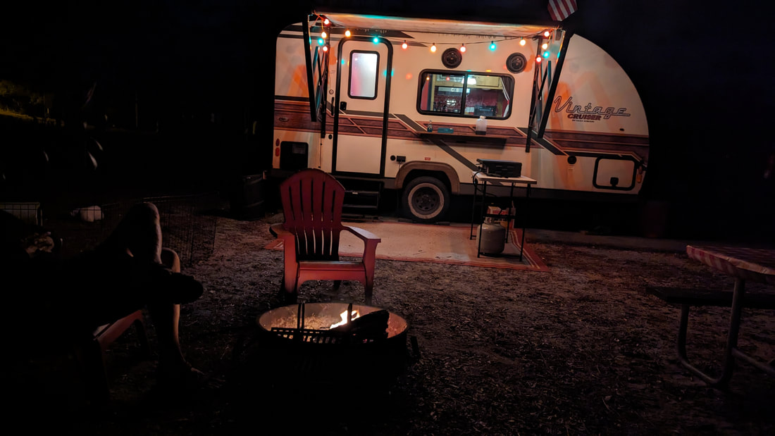
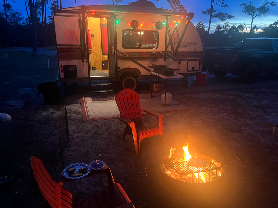
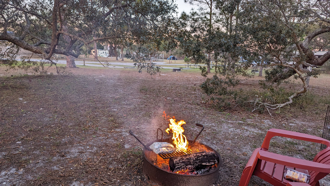
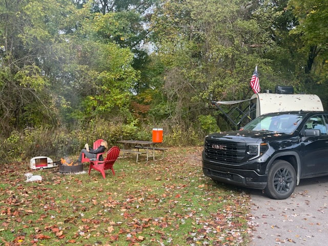
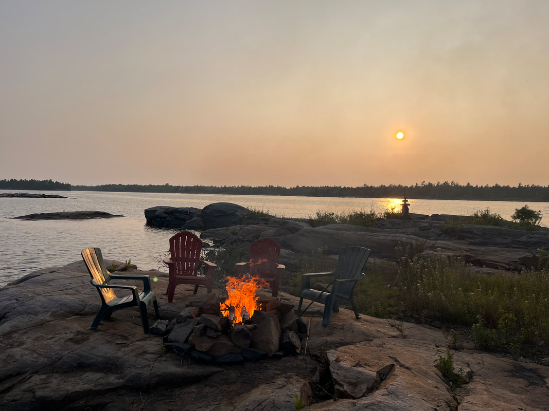
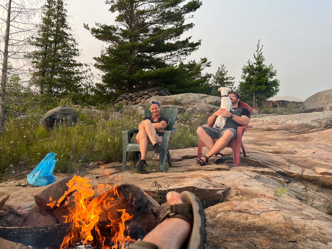
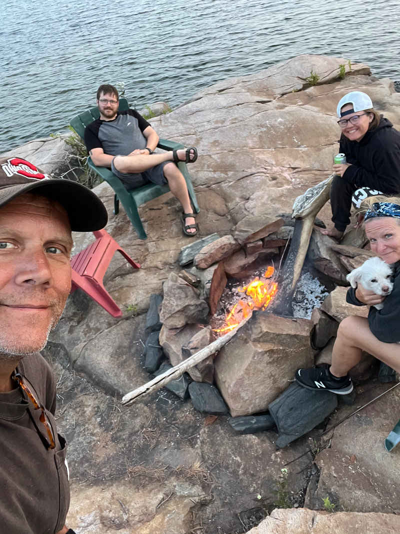
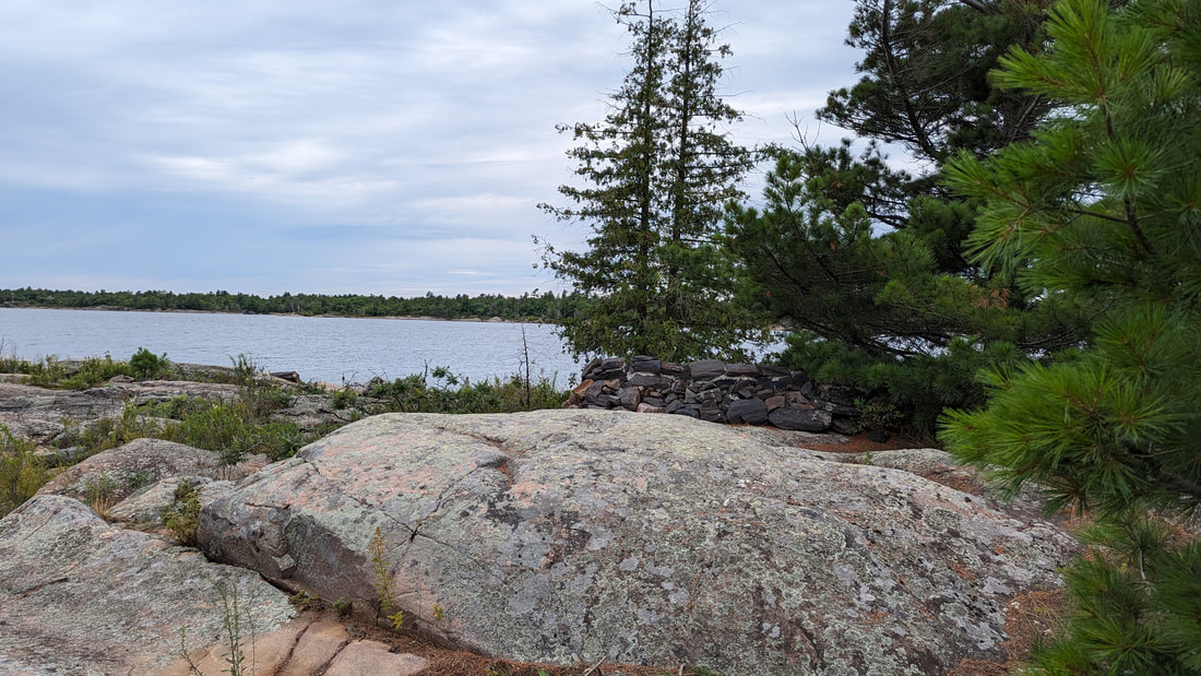
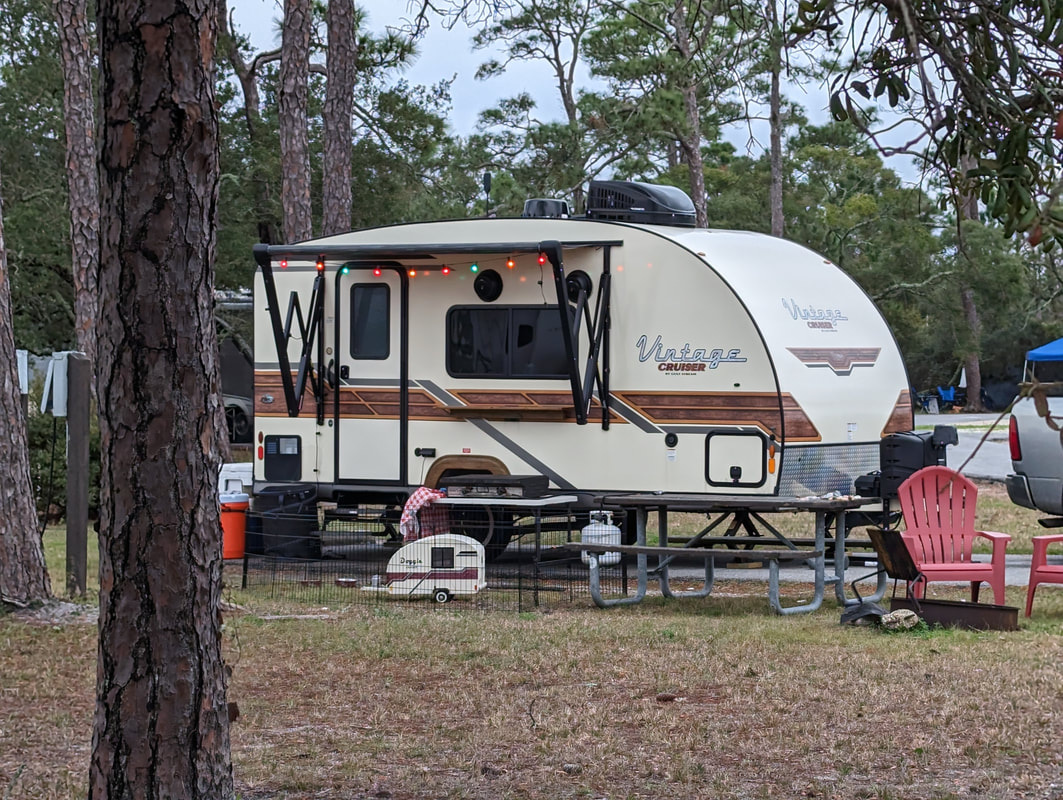
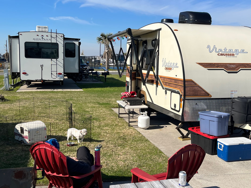
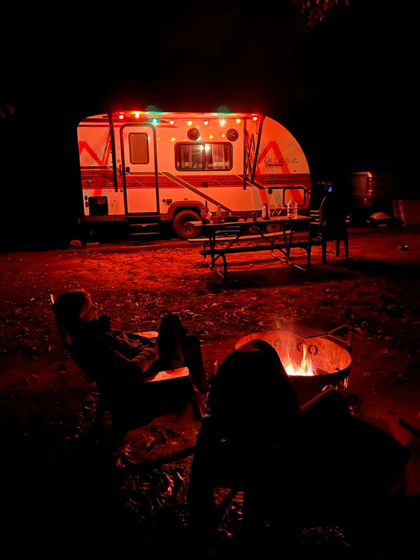
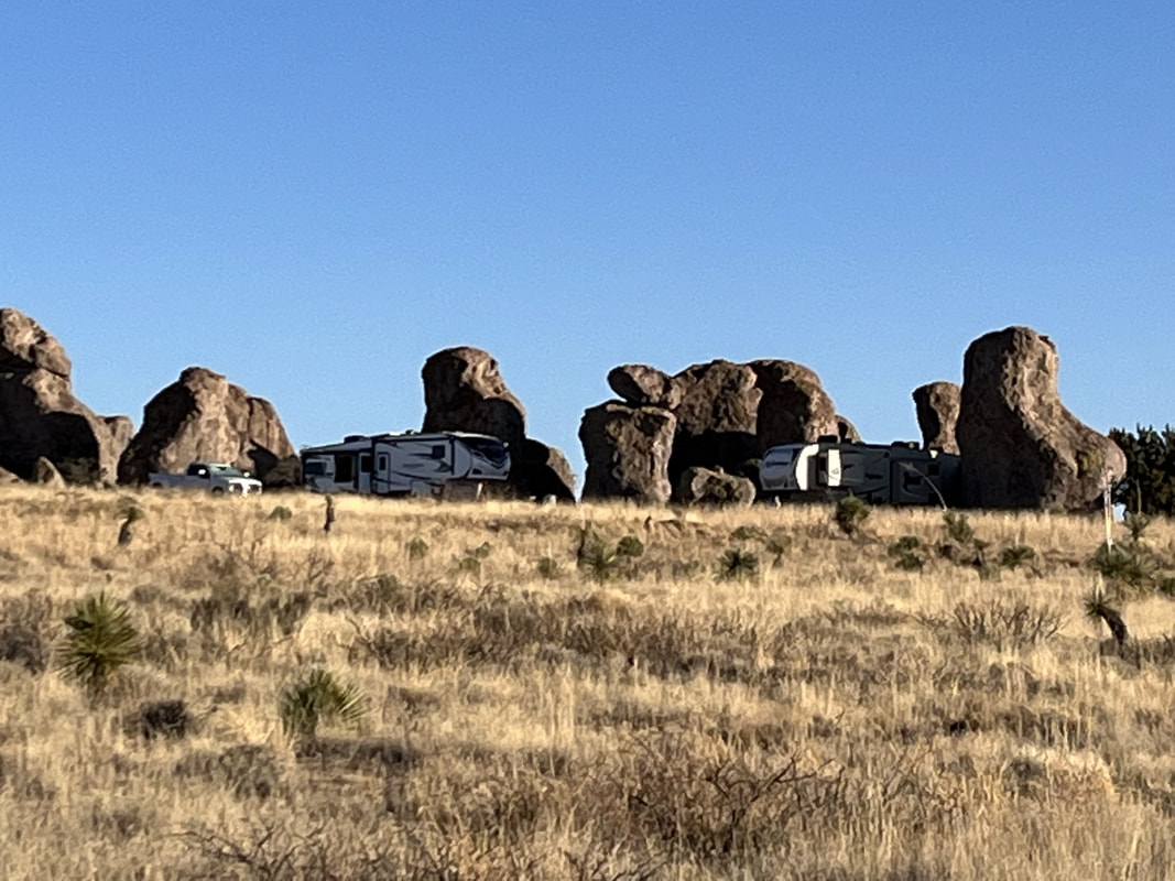
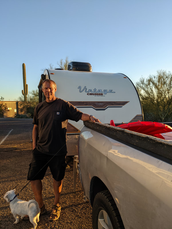
And we finally saw another Vintage Cruiser, and it was a Woody, like ours. Theirs was a lot bigger and it had a slide. The owner said she loved it. And then we came back and had a fire. Scott's going to watch some tv with Thomas and when that's done, I'll ask for my birthday present, more cards!
Picture

Tucson, Day 5

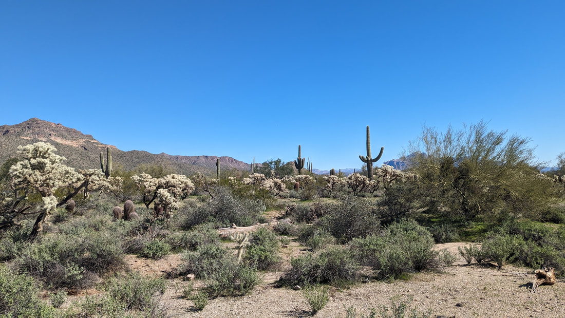
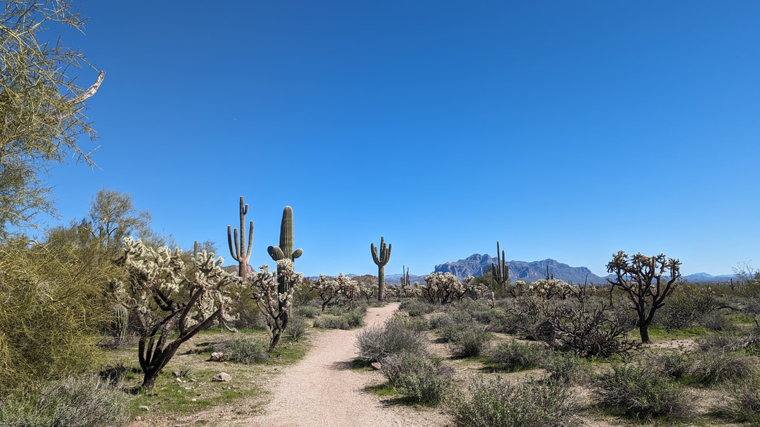
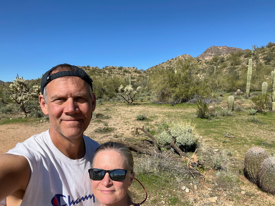
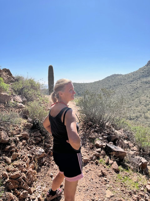
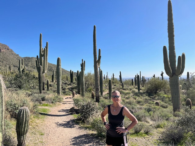
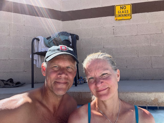
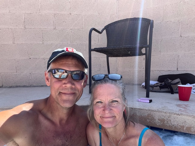
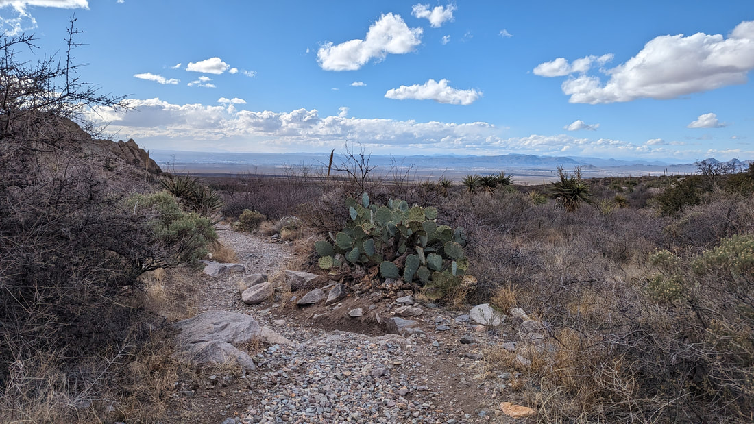
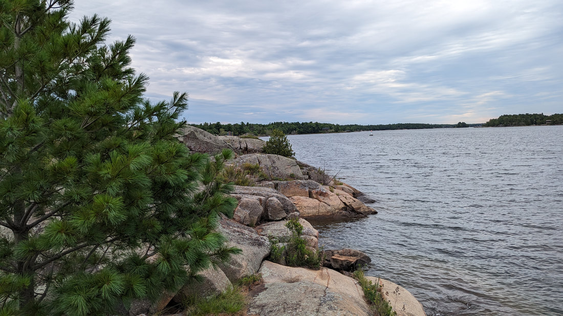
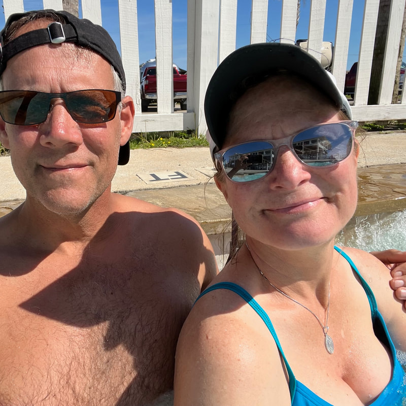
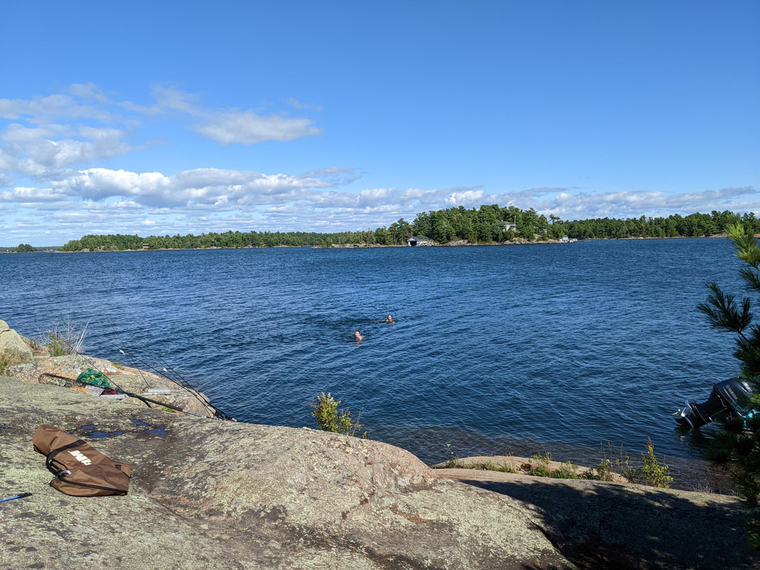
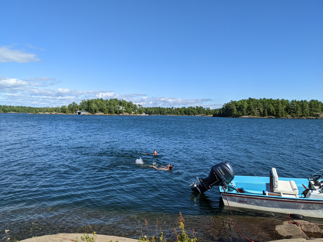
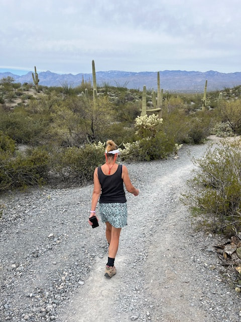
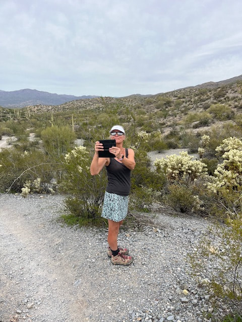
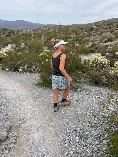
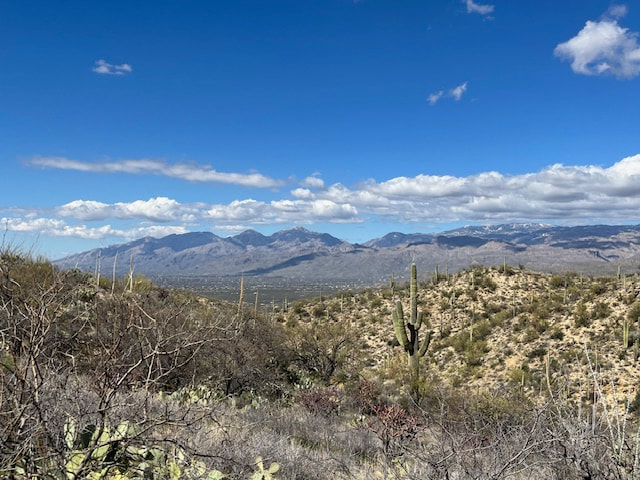
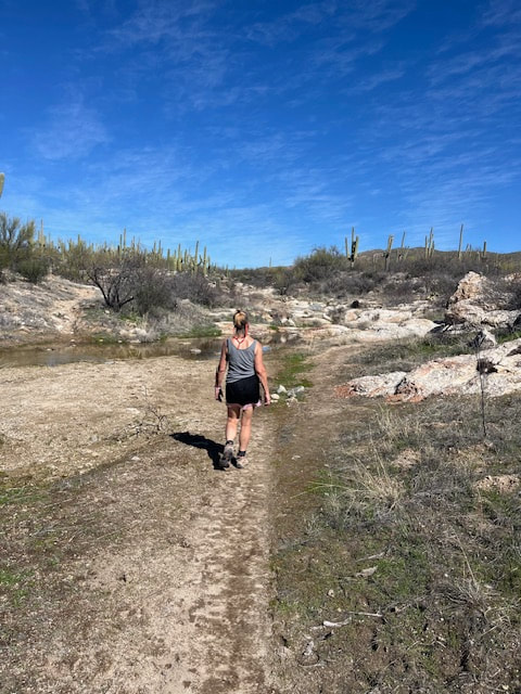
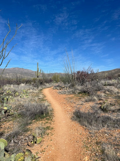
After our usual morning routine, we hit the hot tub! It felt great after that long hike yesterday. Then we played tennis at Reffkin again for 1.5 hours. Then we went back to Saguaro National Park and hiked the Cactus Flower and Lime Falls trails. Total trip was 4 miles and it took us 1.5 hours. It was a beautiful, beautiful path. I didn't expect it. I thought it would be flat and dry and boring, but it was green and varied and hilly. 
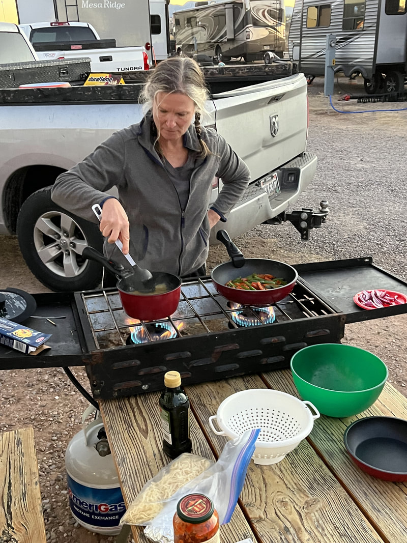
Then we did a Walmart run, came back to the campsite, and while I made dinner, Scott watched a show with Thomas. Then we had a night time hot tub! The tub closest to us was occupied, so we rode our bikes over to the main hot tub which was empty after a guy and his daughter got out after about 5 minutes. 
Picture

Tucson, Day 4

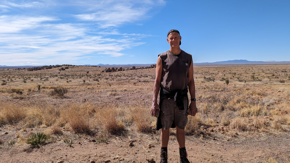
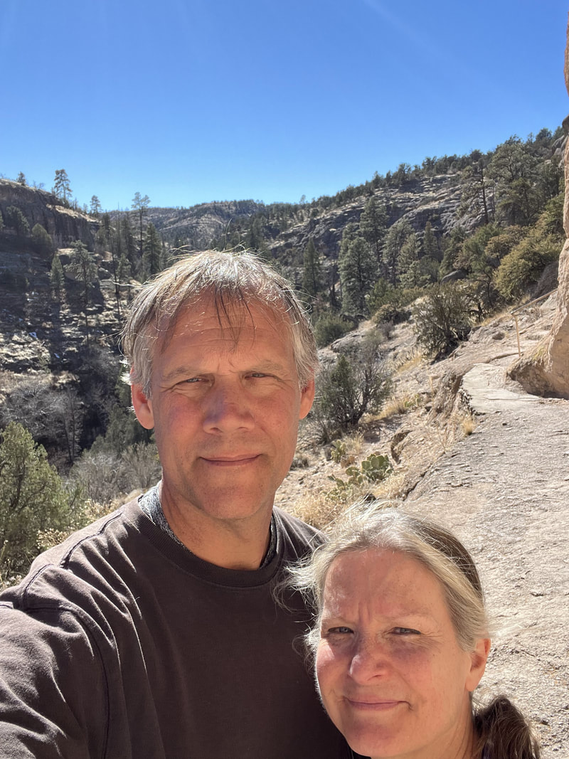
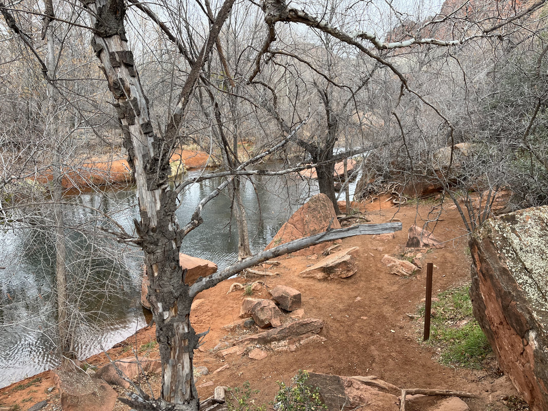
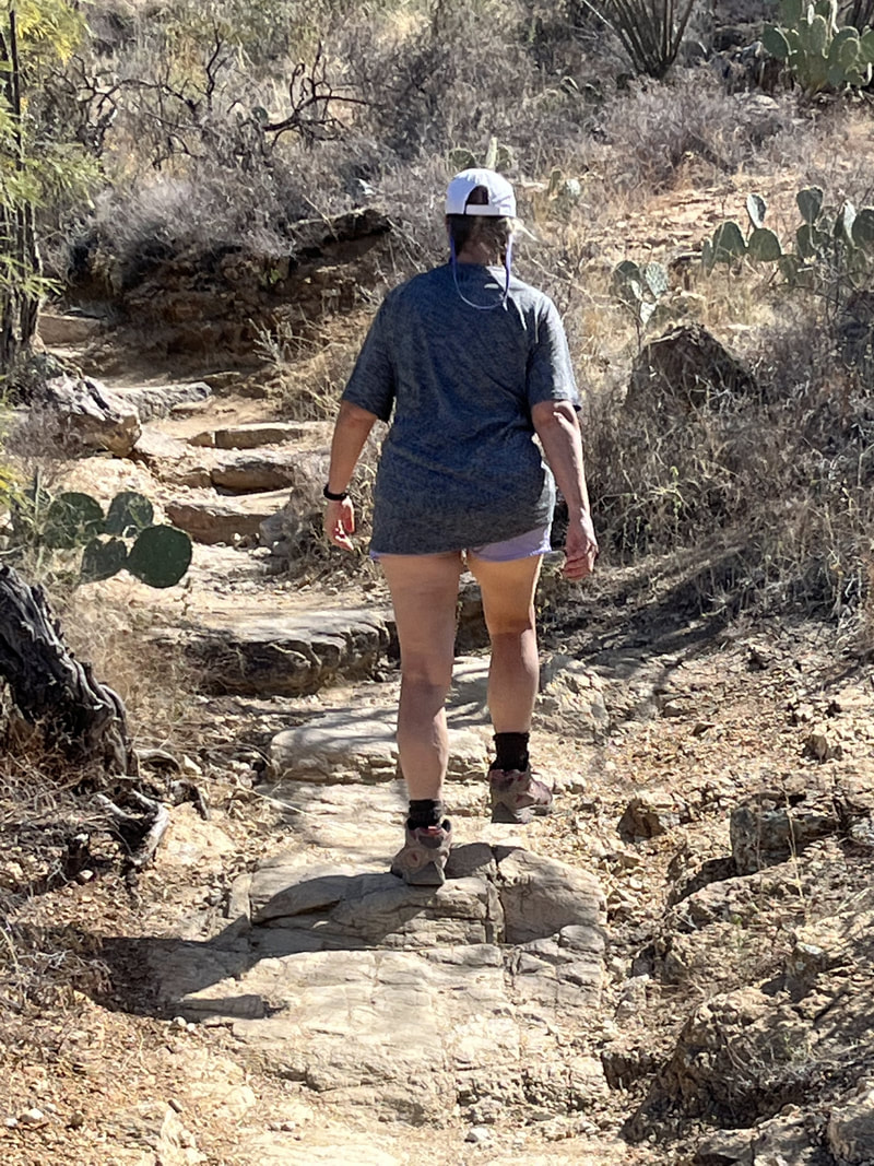
Wow we had an awesome day and an epic hike. The day started early. The campground announced it would shut the water off at 8 am to fix some leaks, so I got up before 6 to put a load of laundry in. Then we did our usual morning routine: coffee, exercise, relaxing. This day we had breakfast because of the challenging activity we had planned.

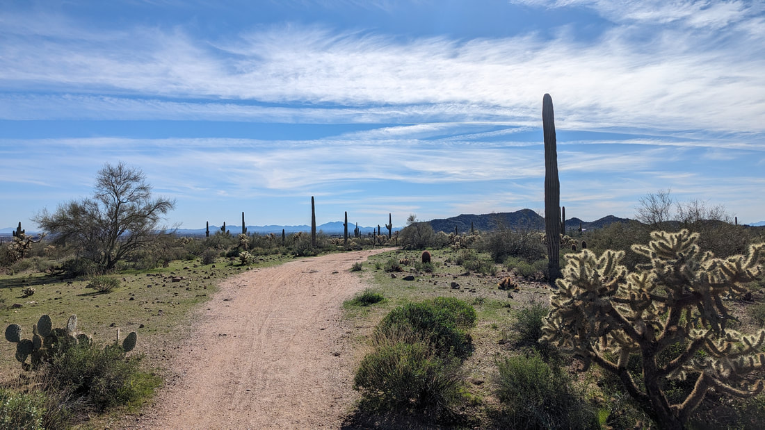
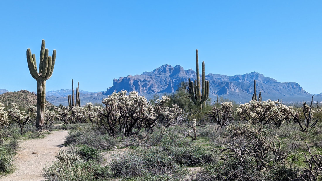
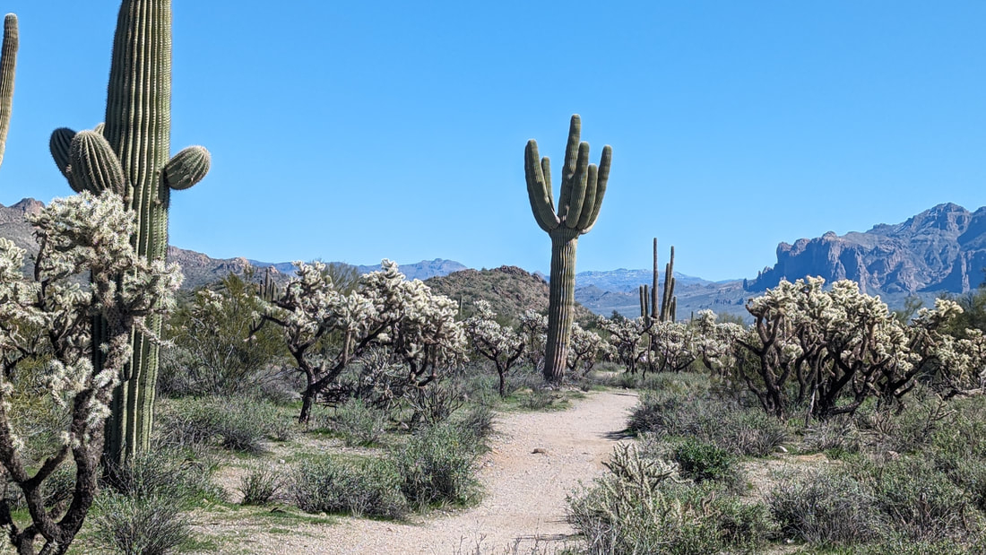
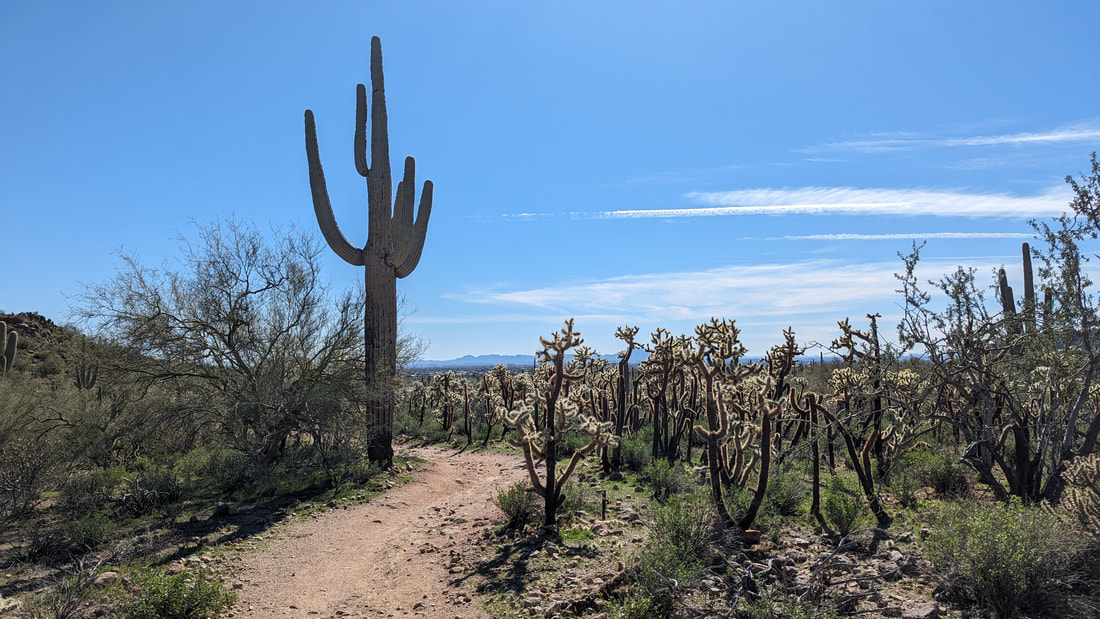
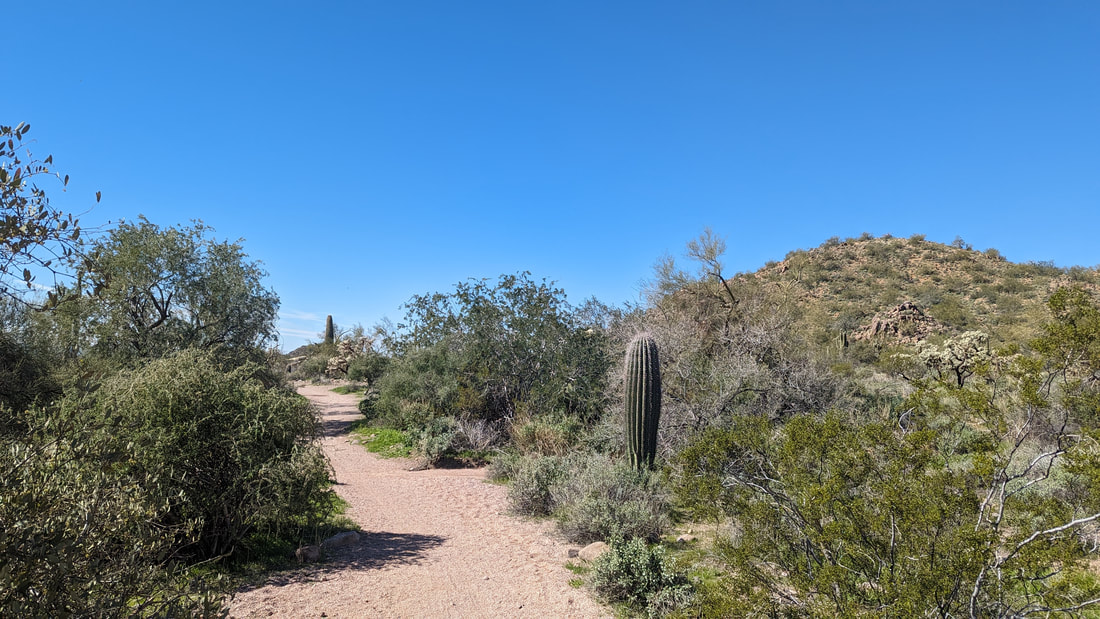
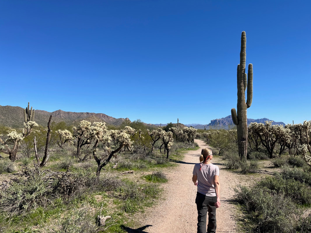
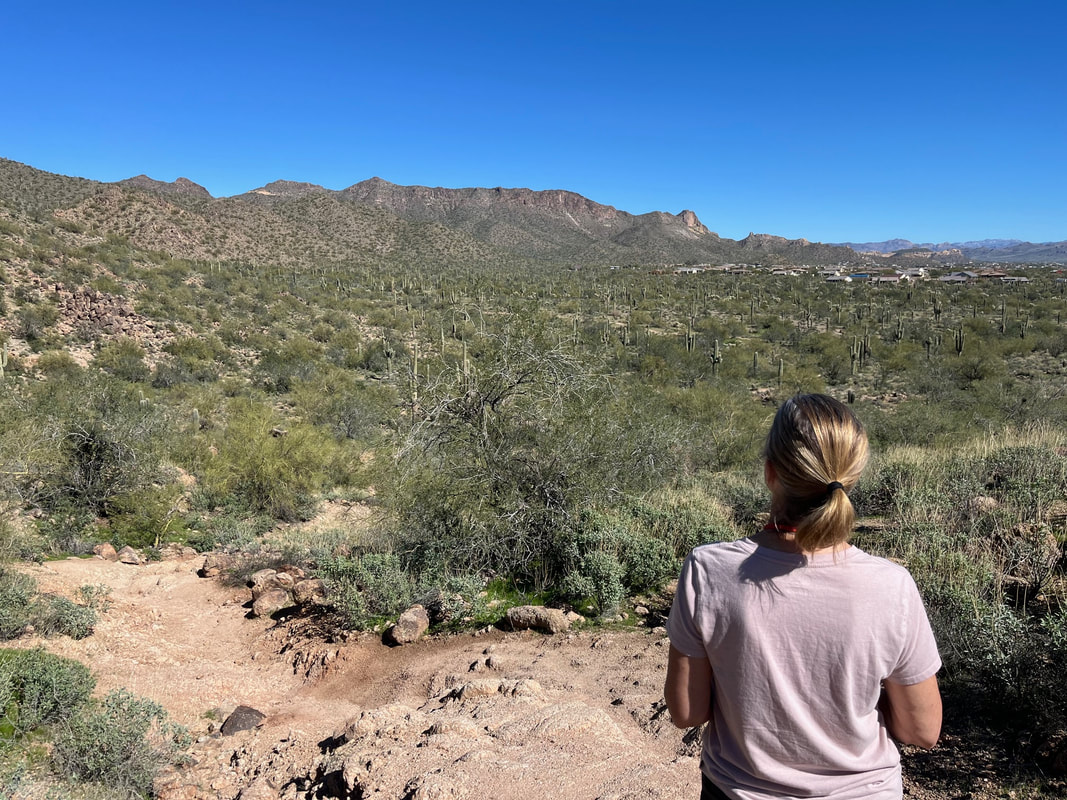
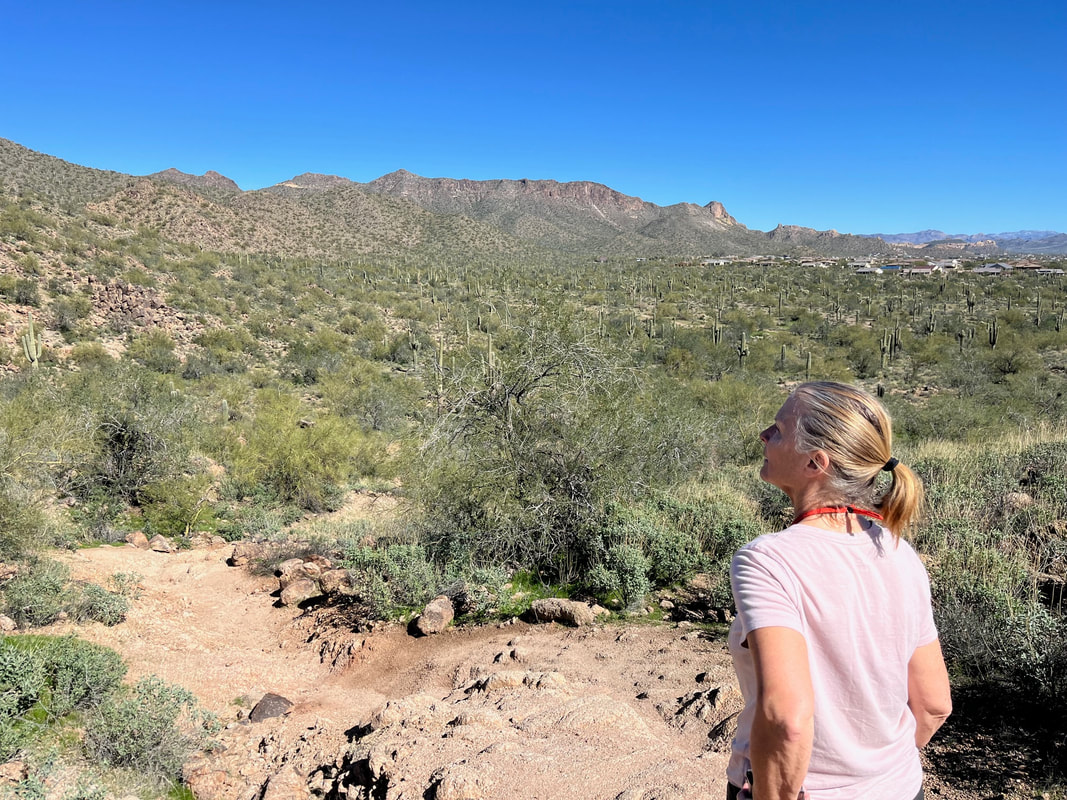
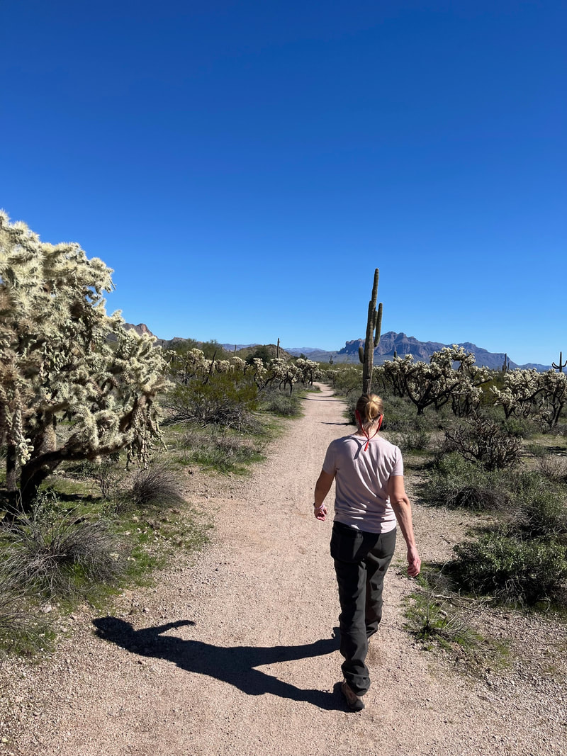
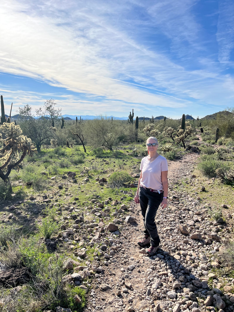
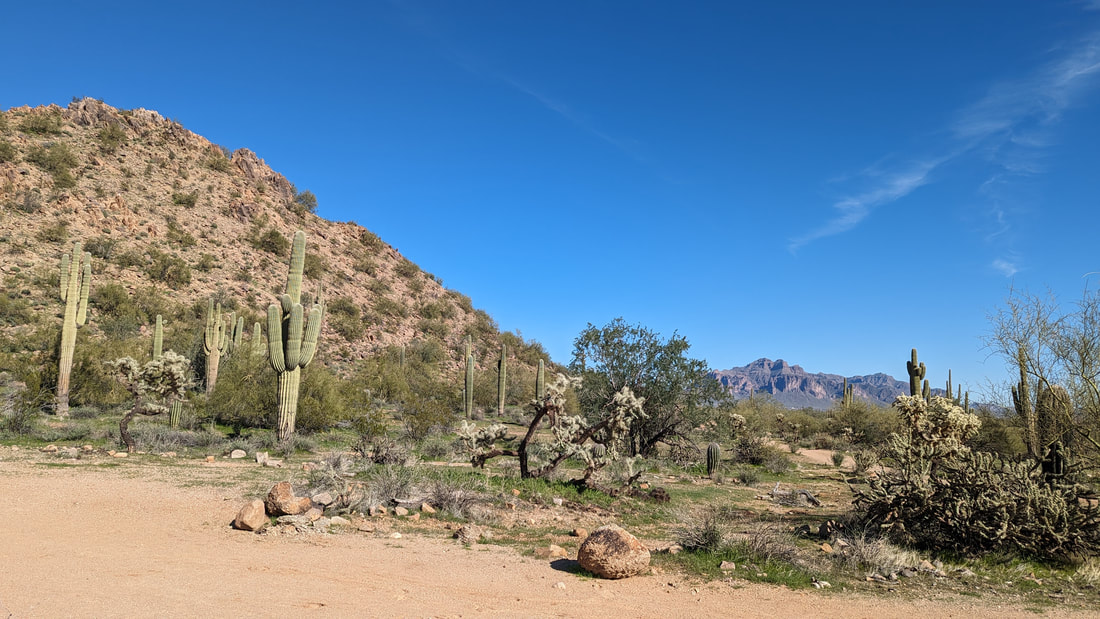
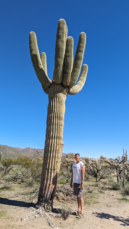
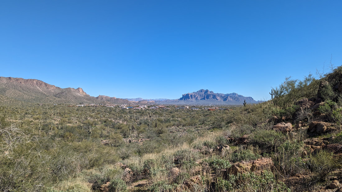
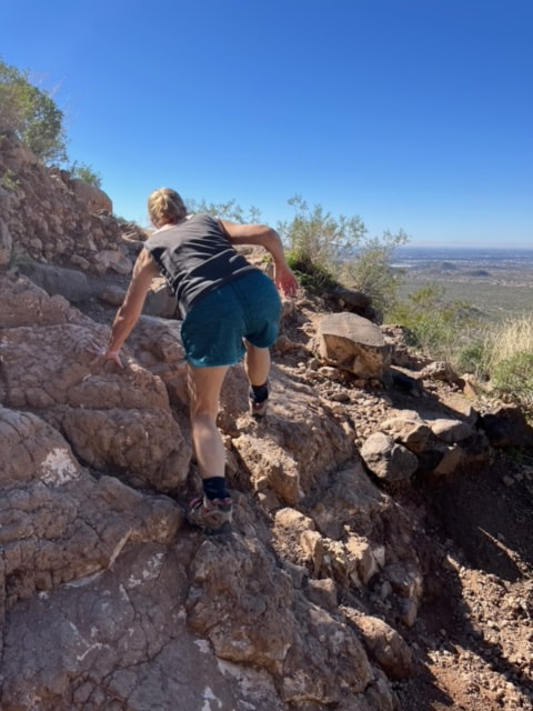
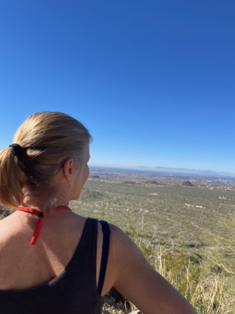
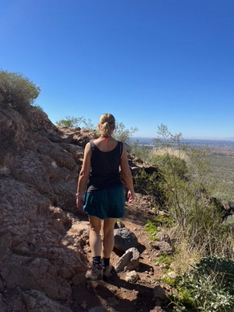
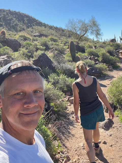
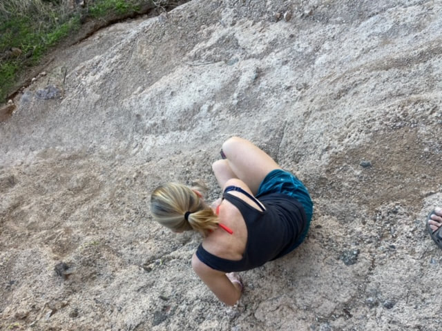
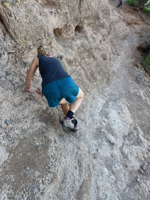
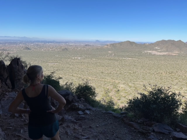
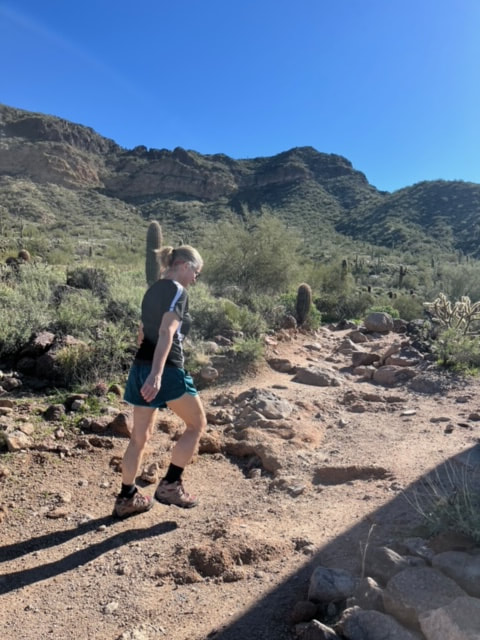
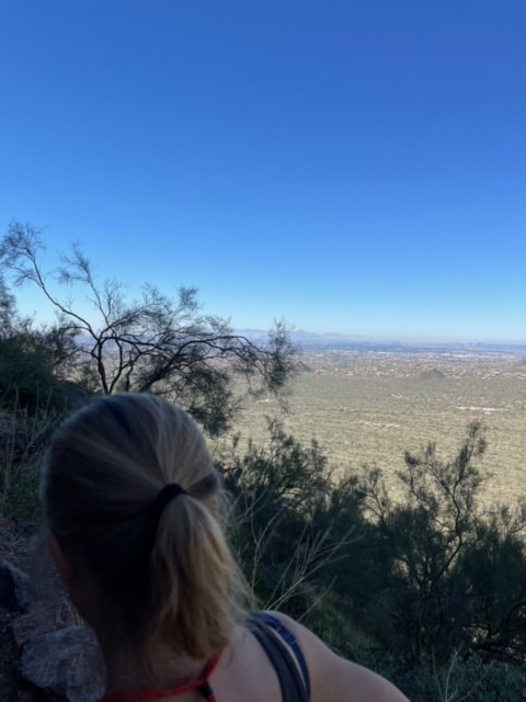
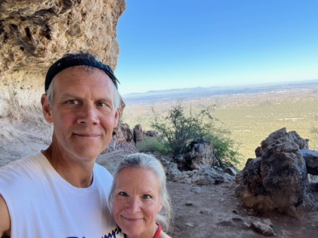
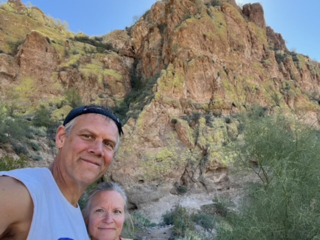
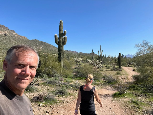
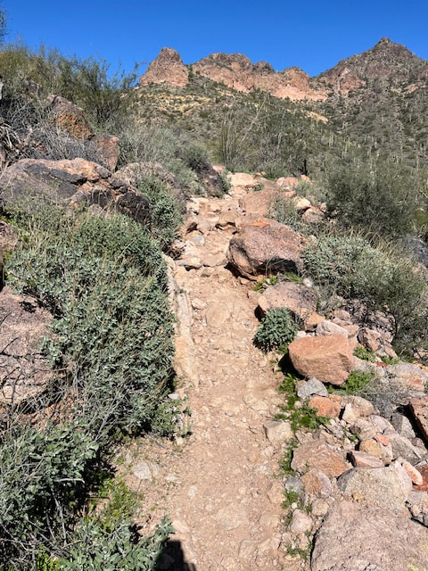
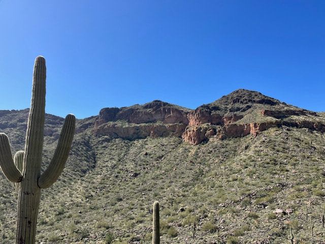
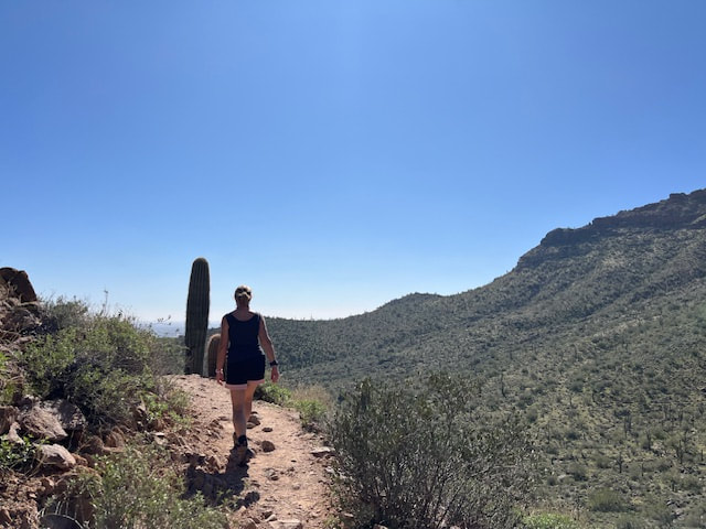
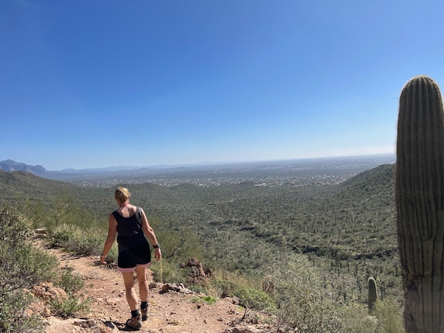
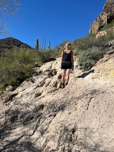
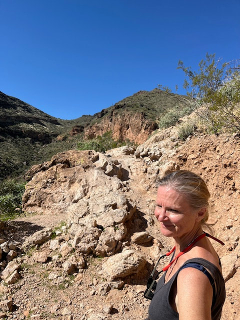
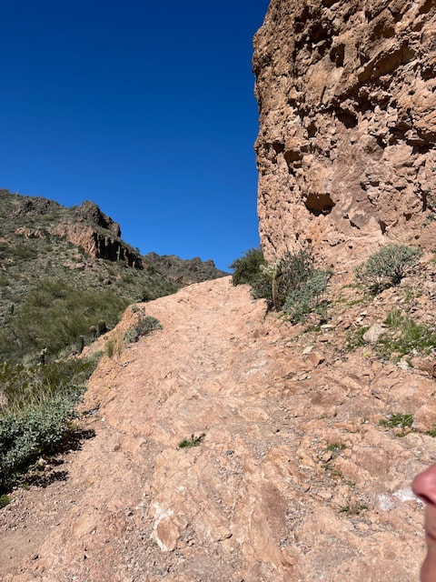
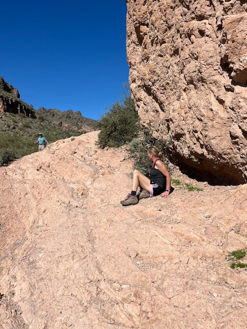
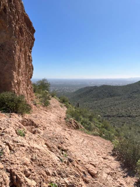
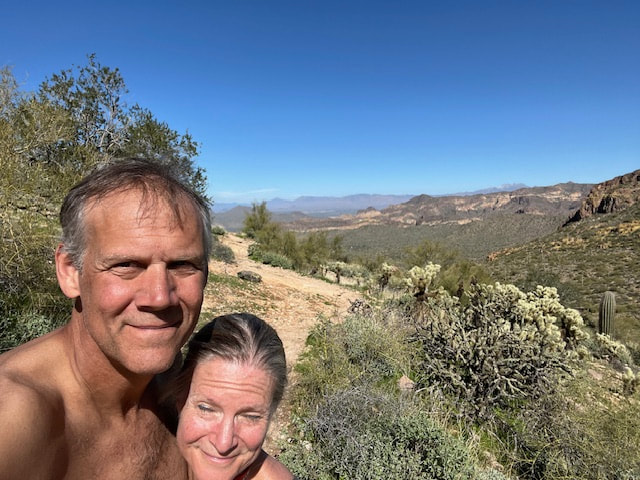
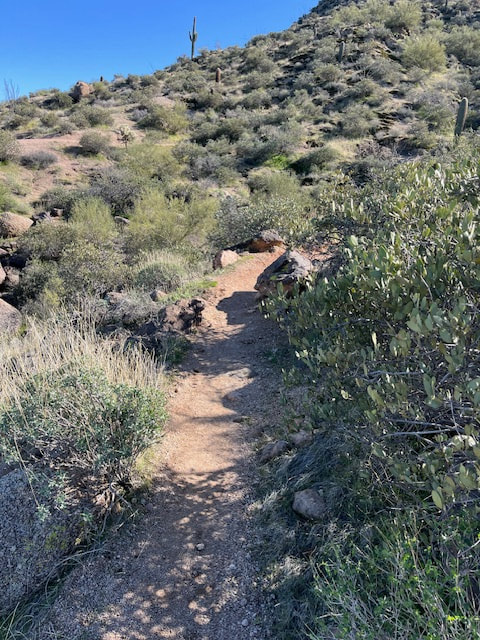
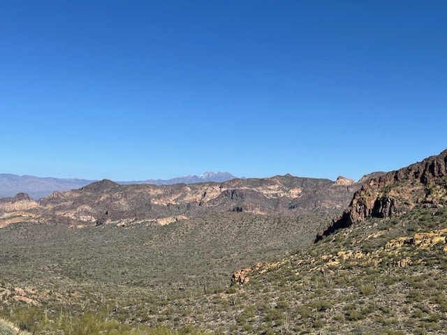
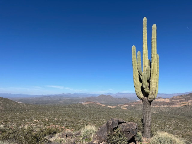
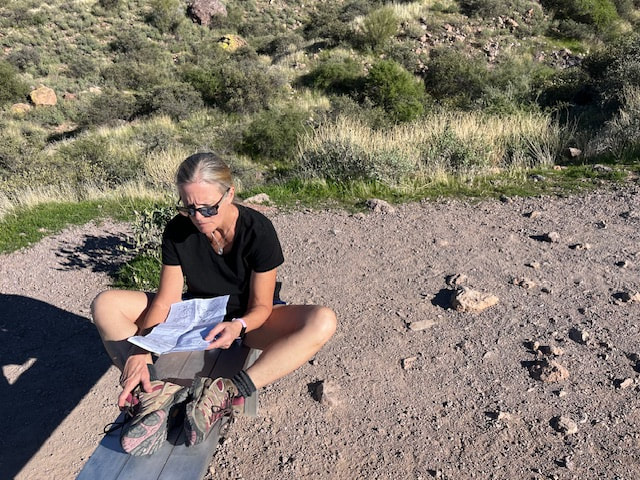
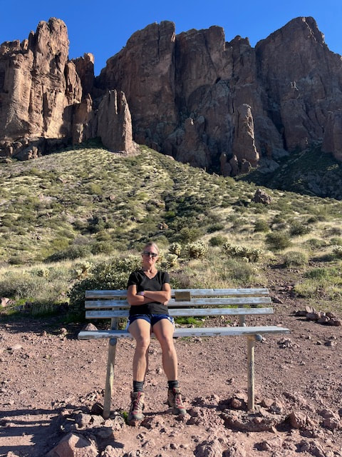
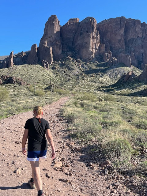
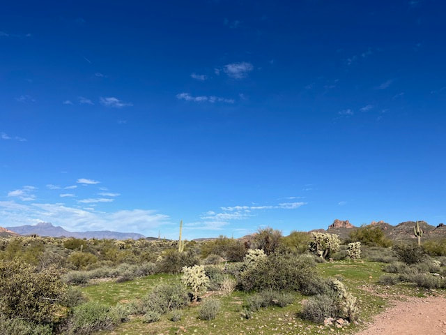
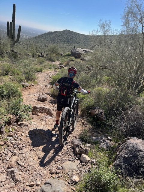
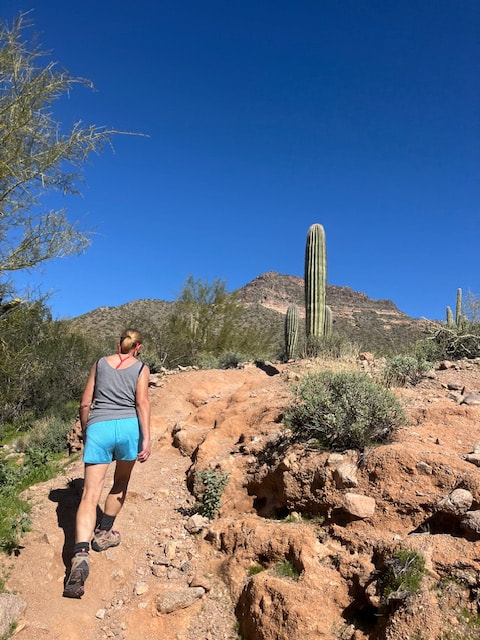
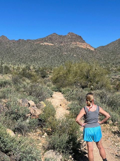
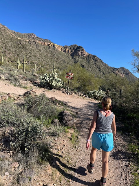
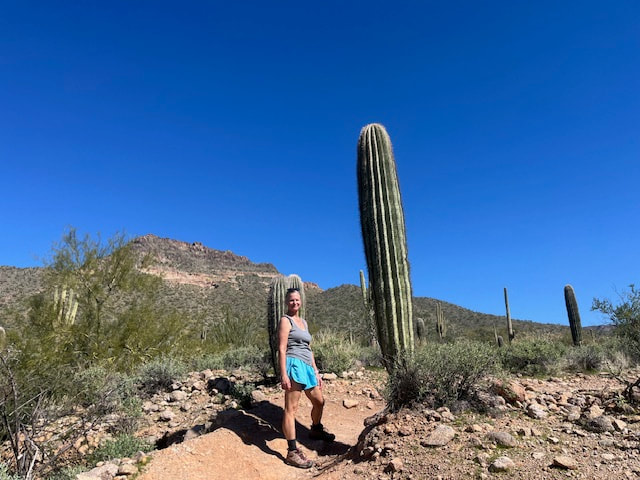
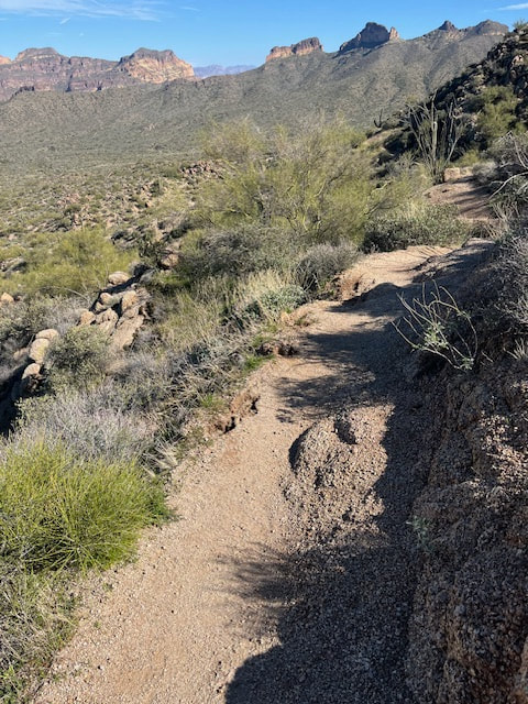
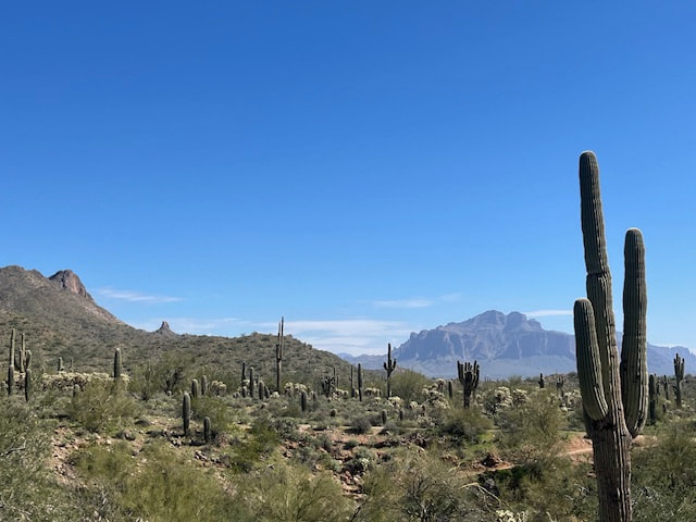
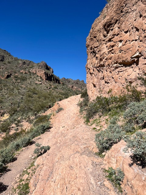
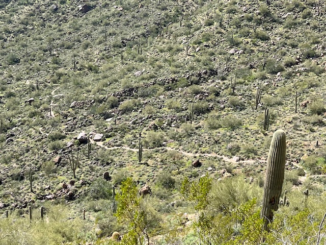
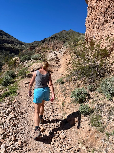
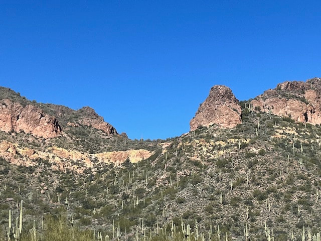
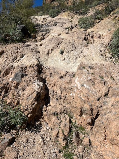
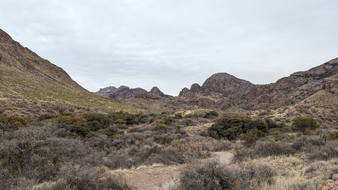
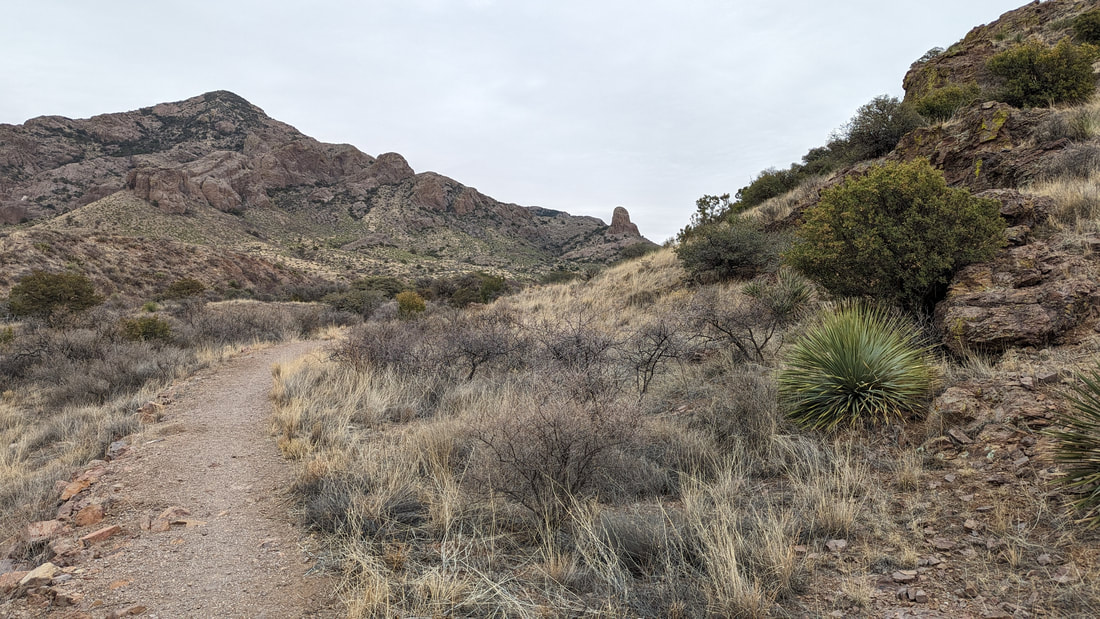
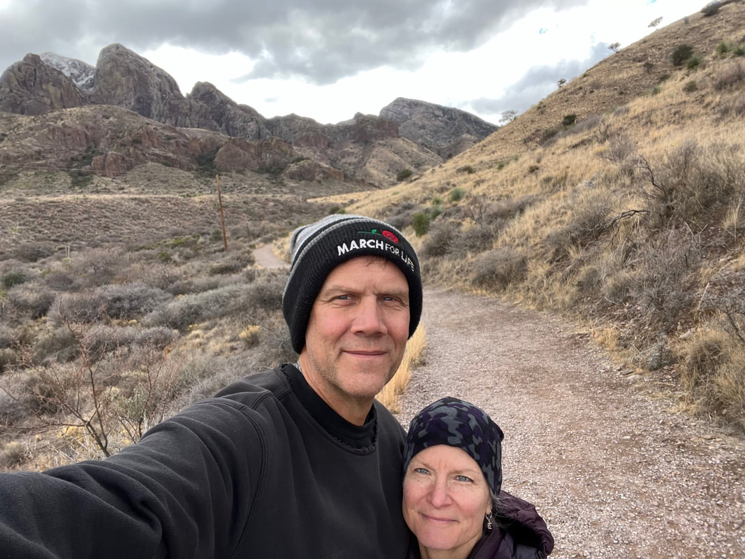
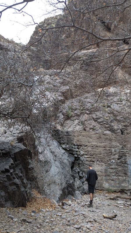
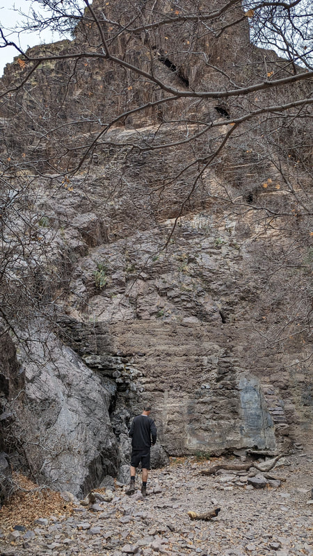
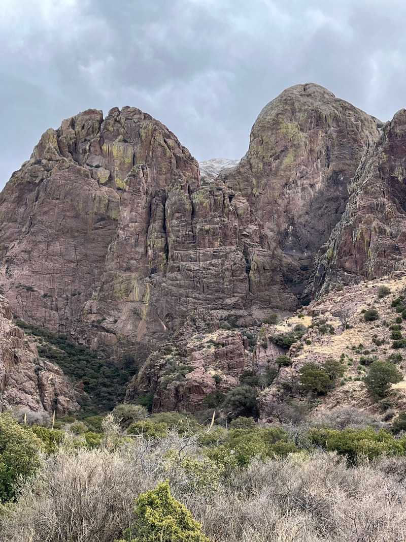
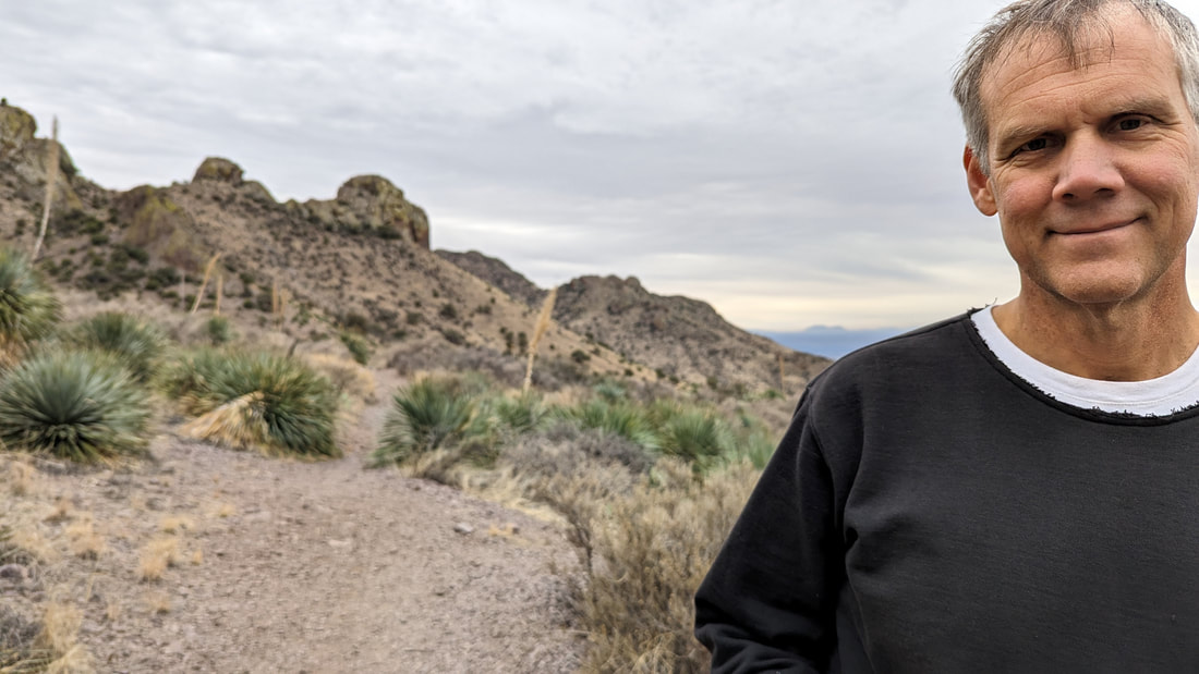
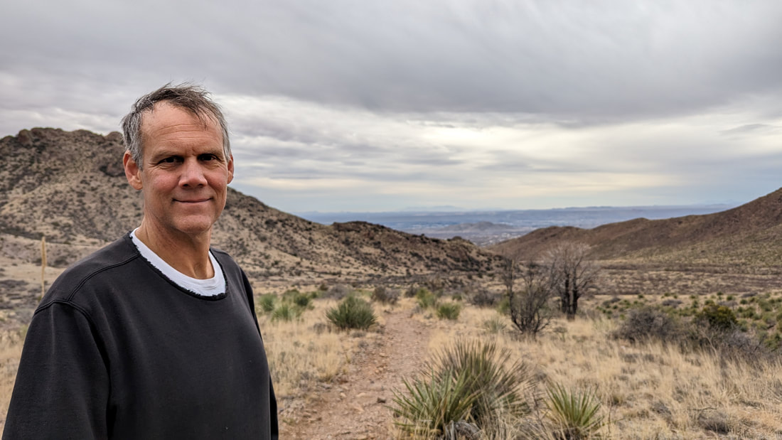
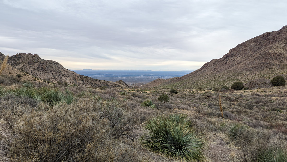
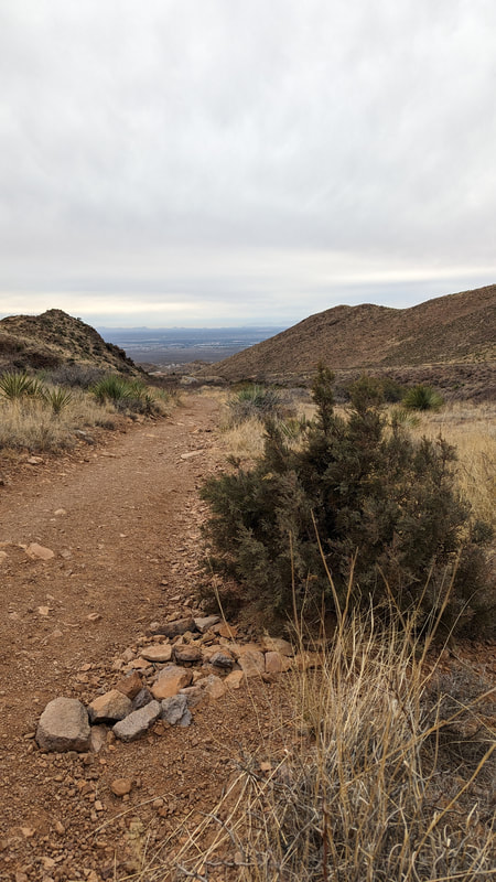
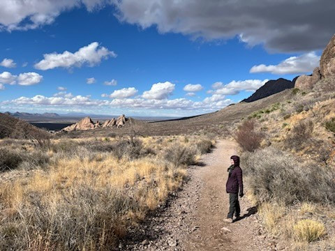
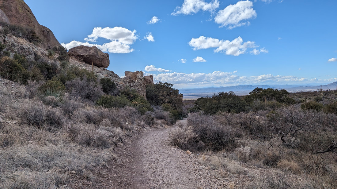
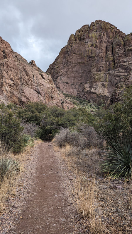
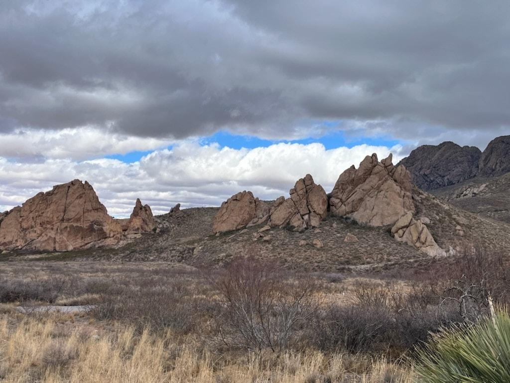
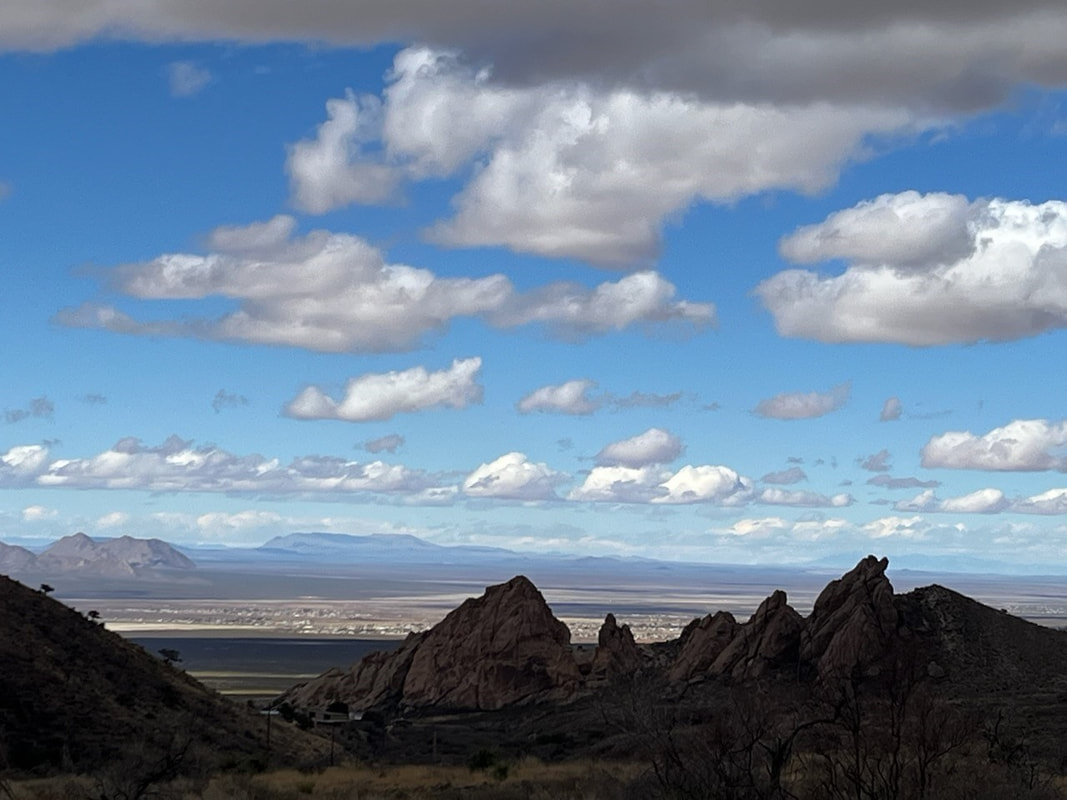
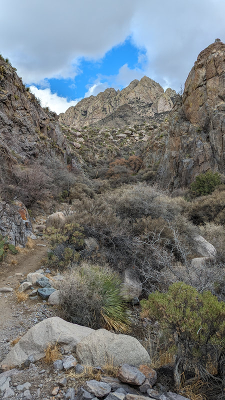
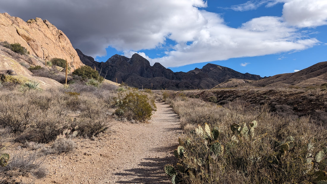
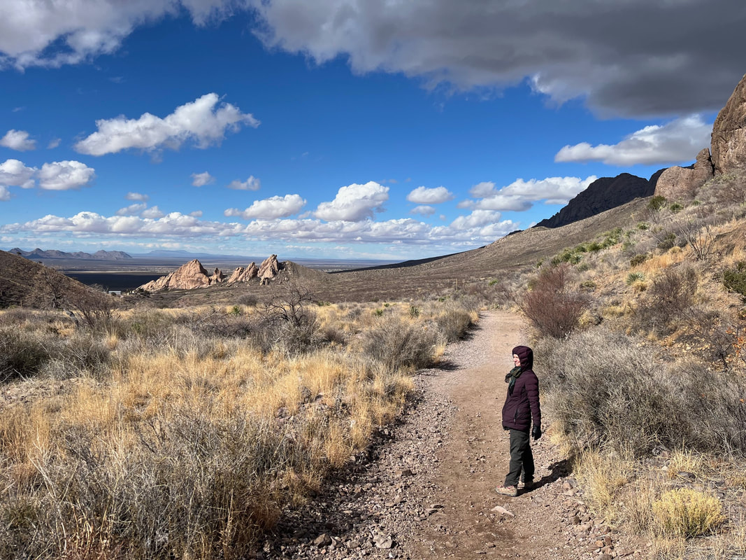
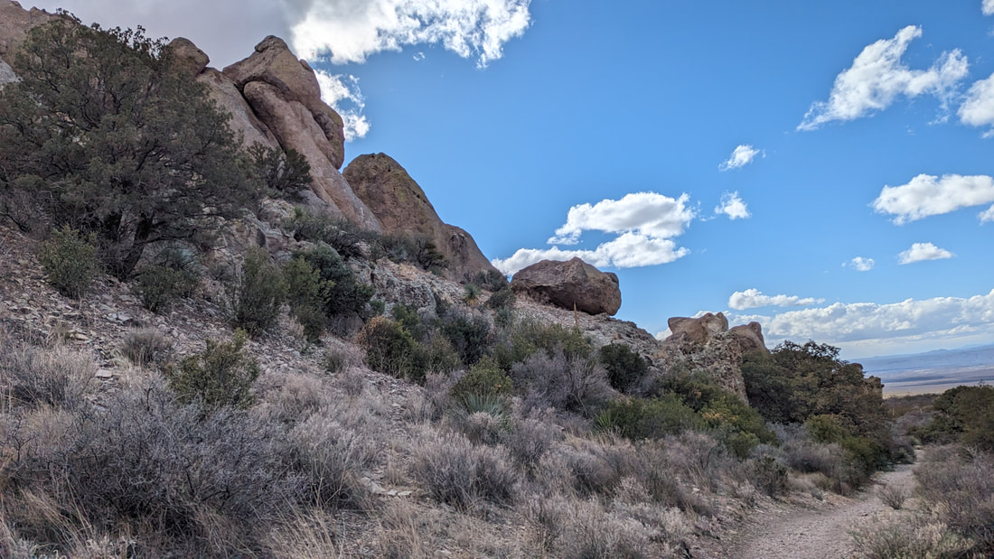
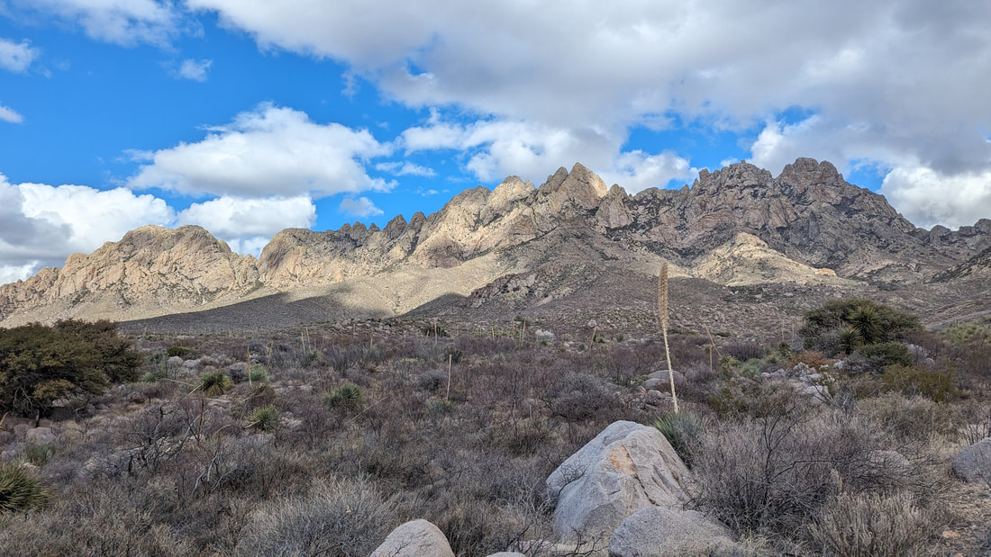
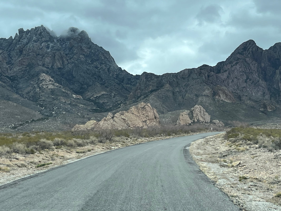
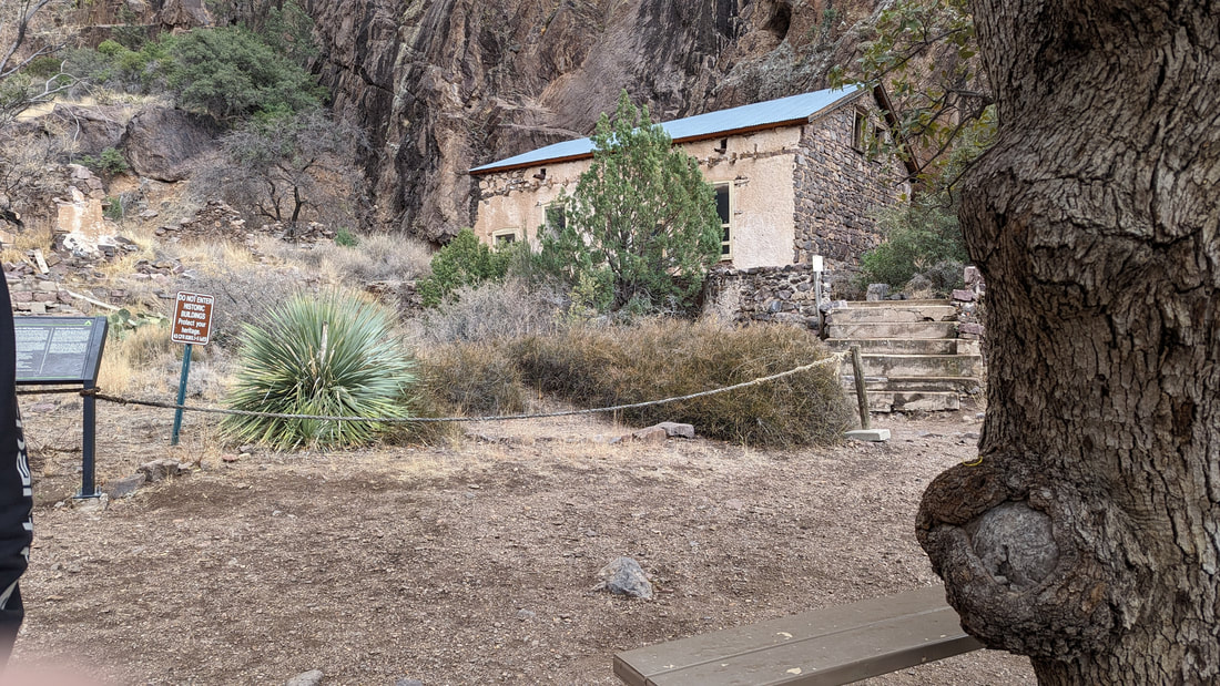
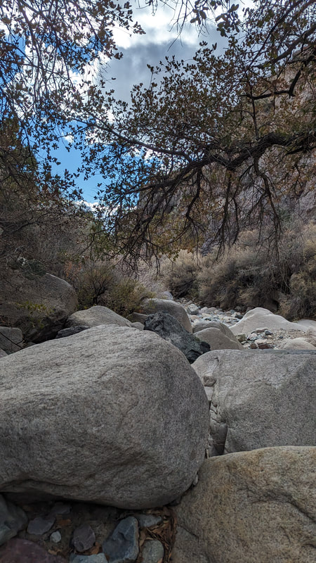
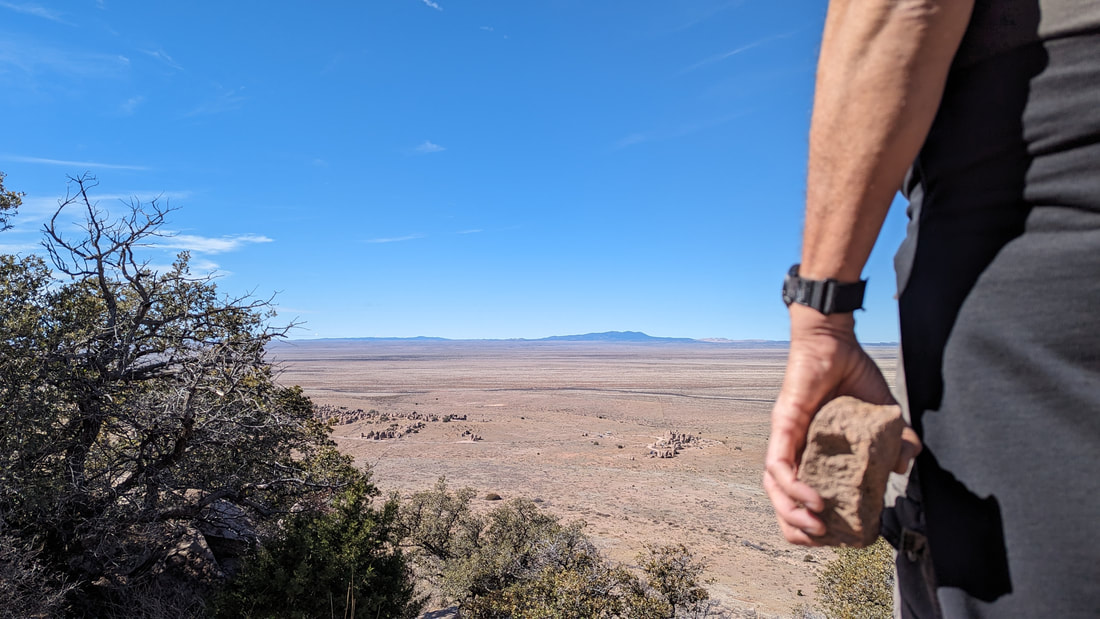
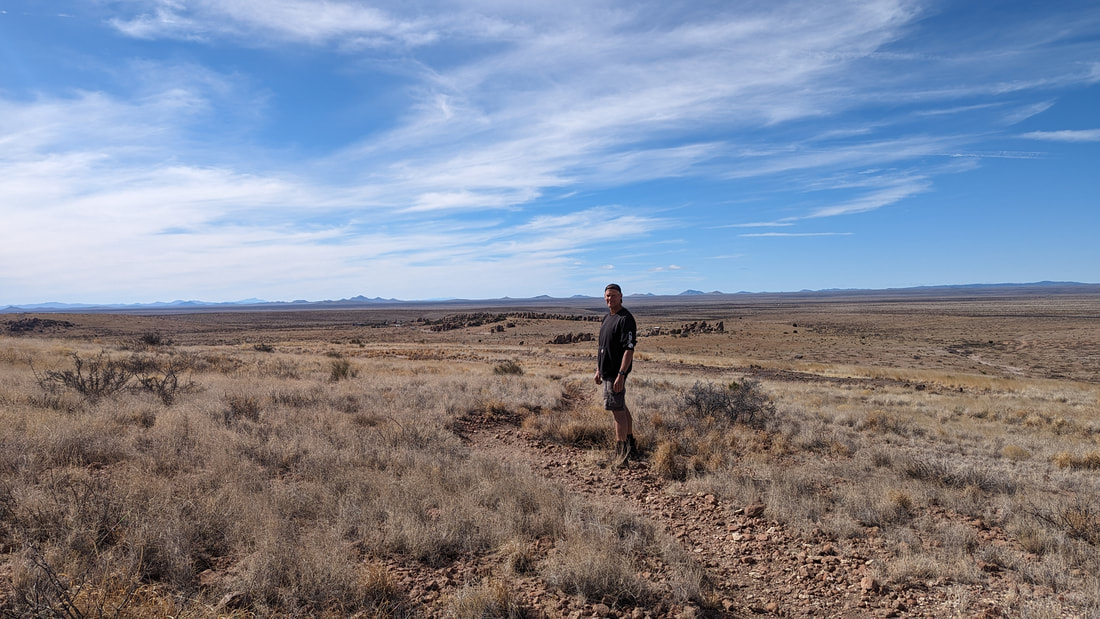
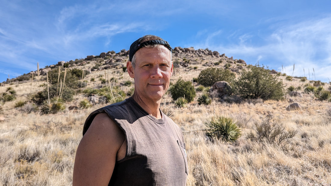
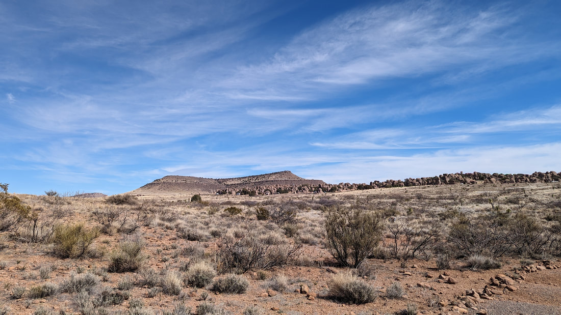
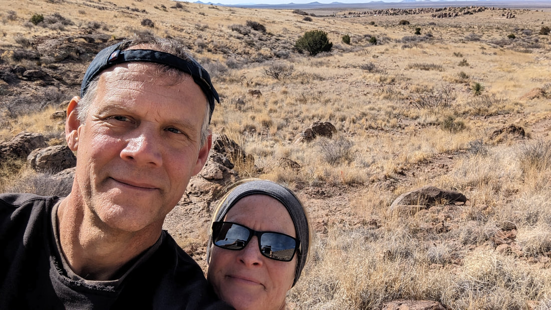
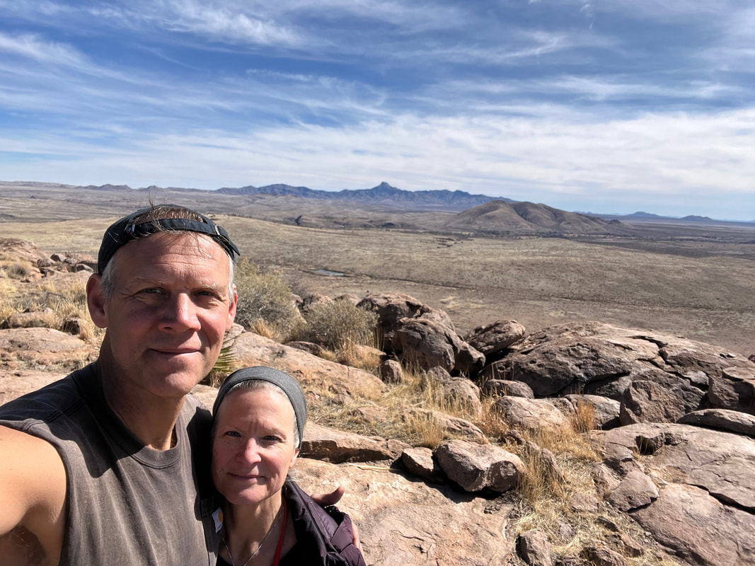
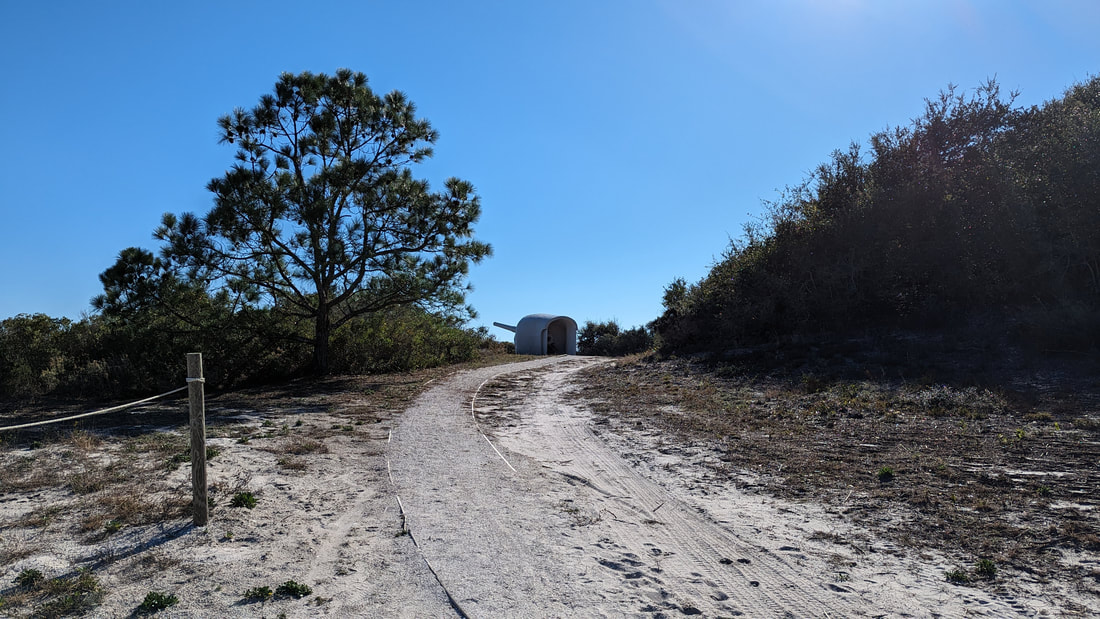
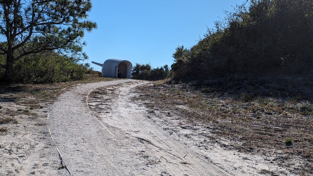
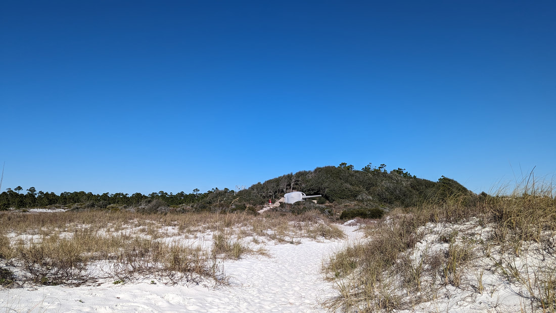
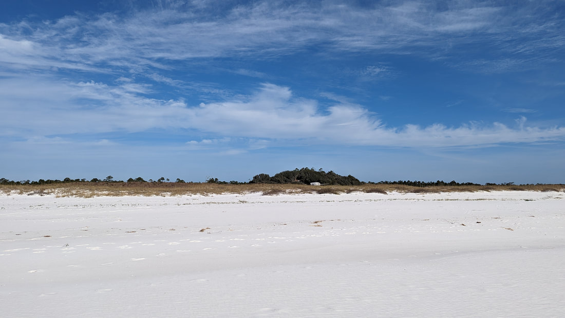
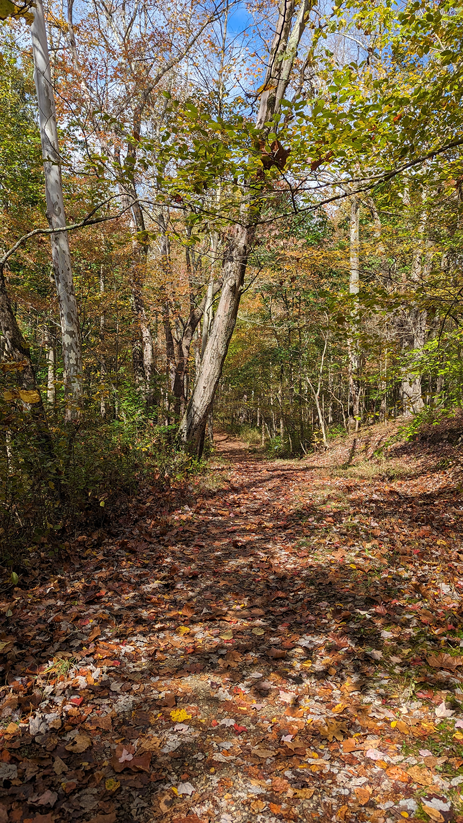
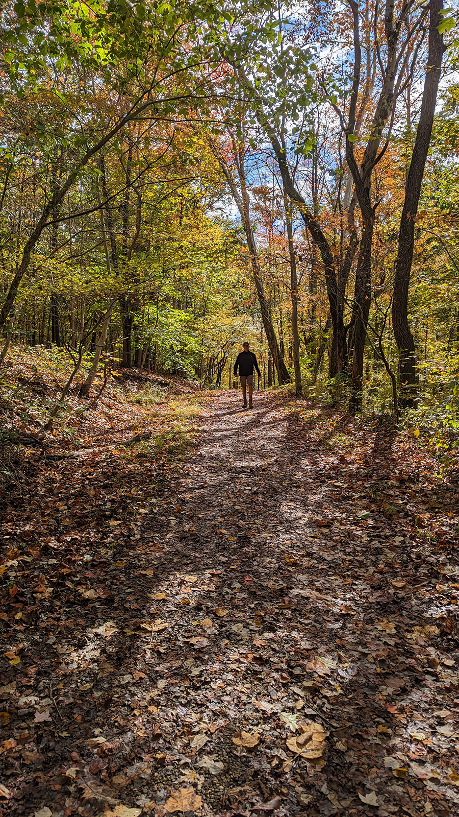
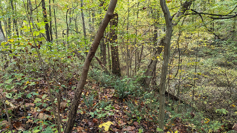
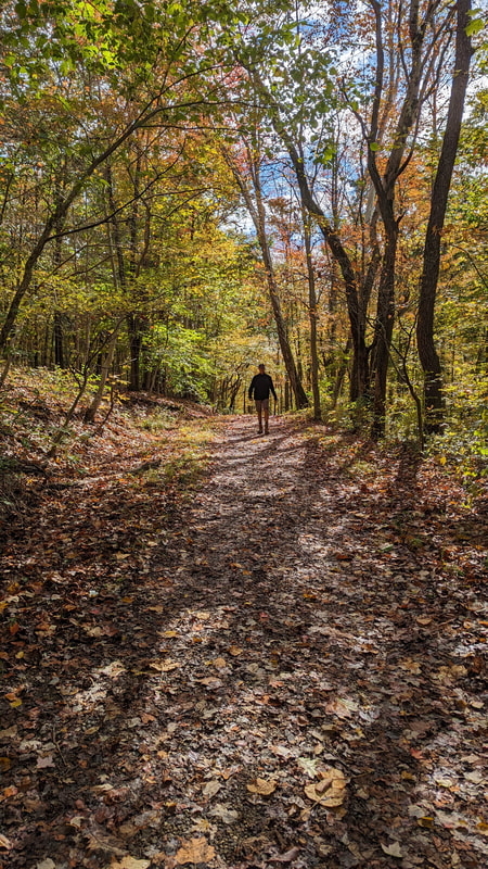
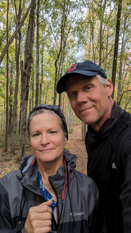
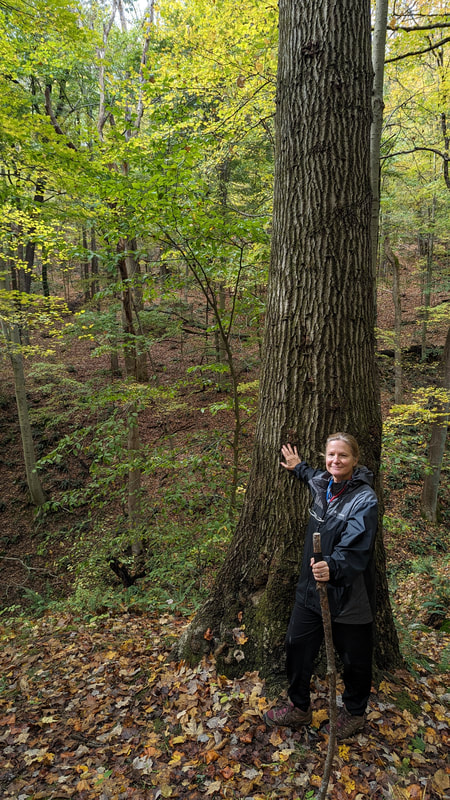
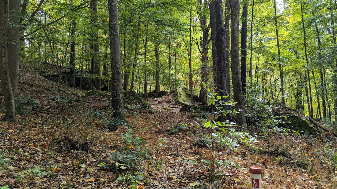
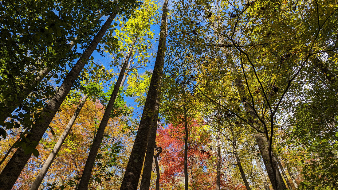
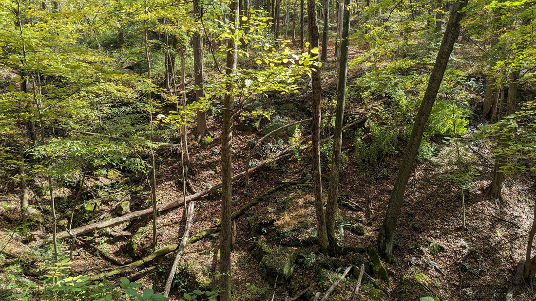
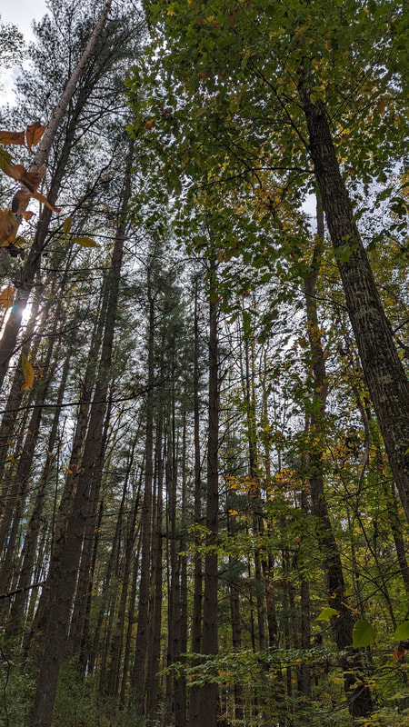
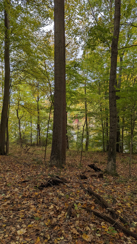
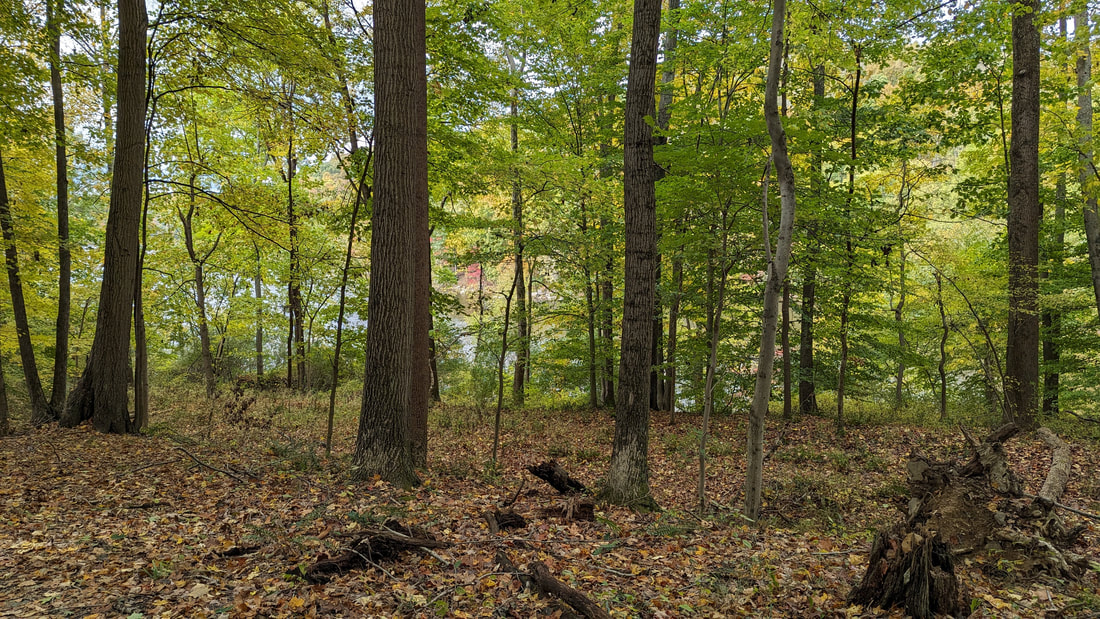
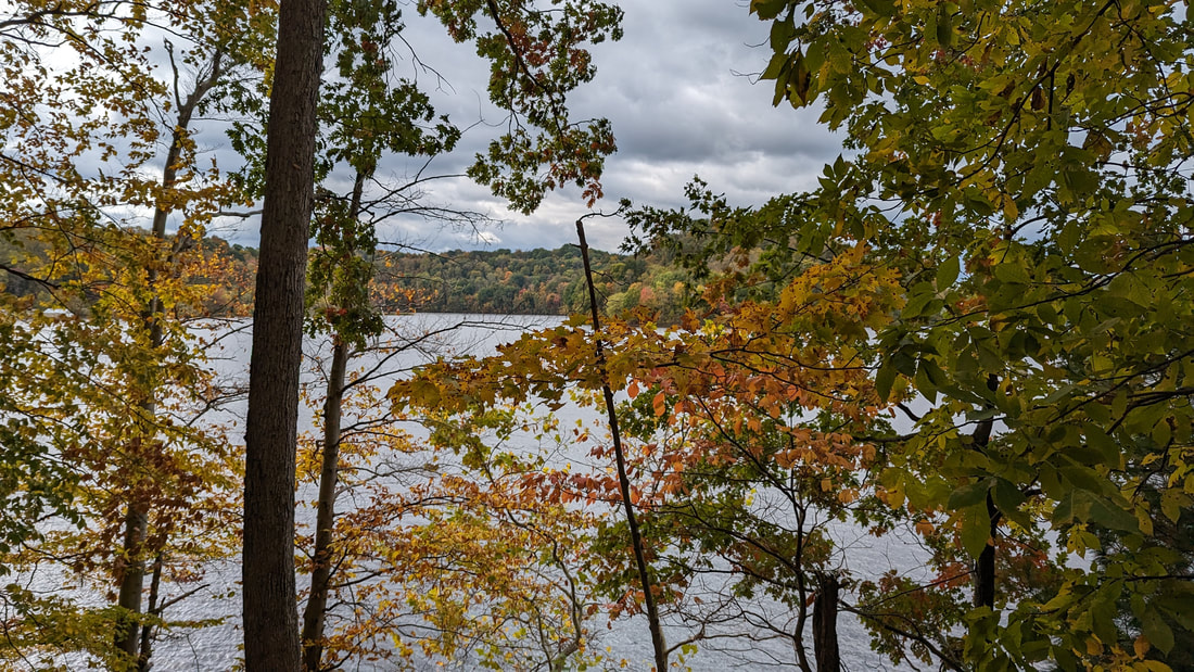
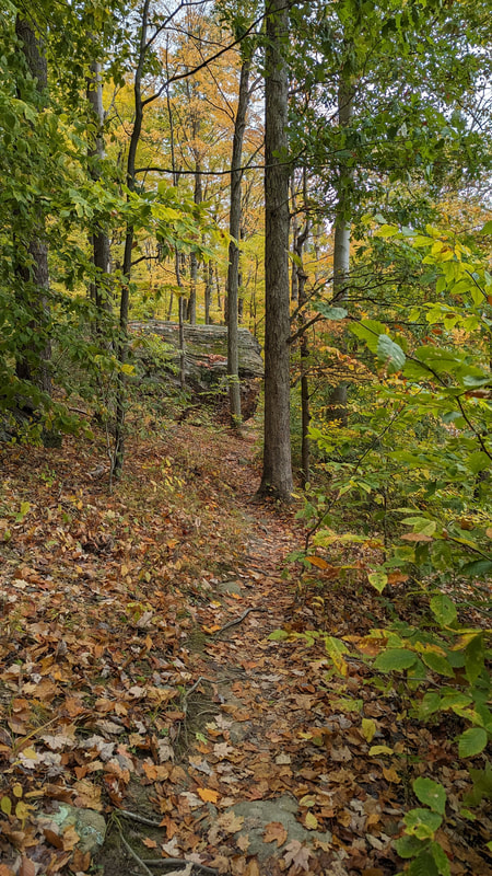
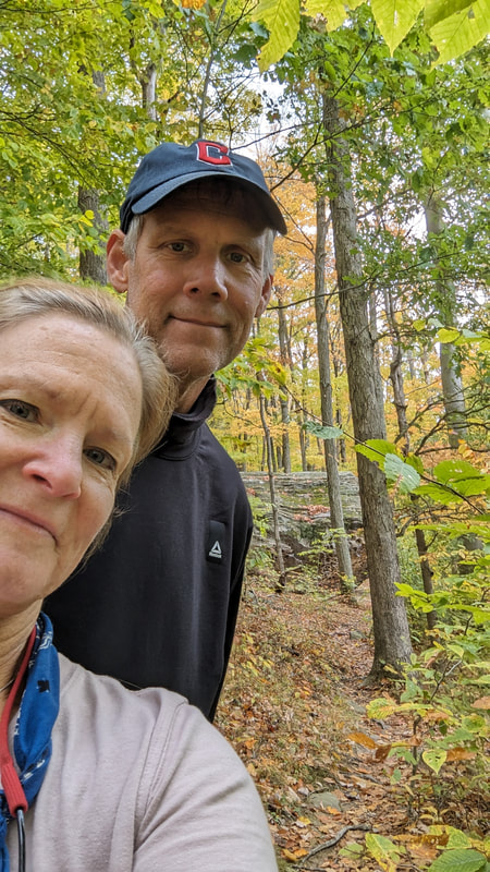
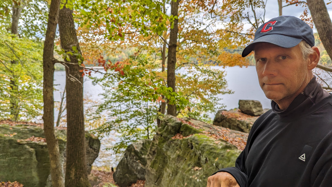
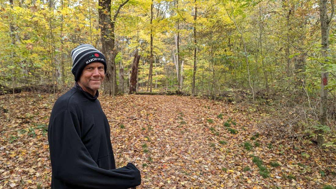
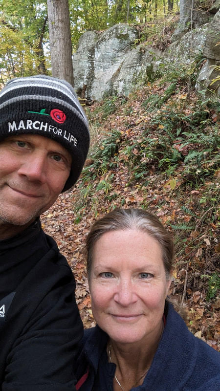
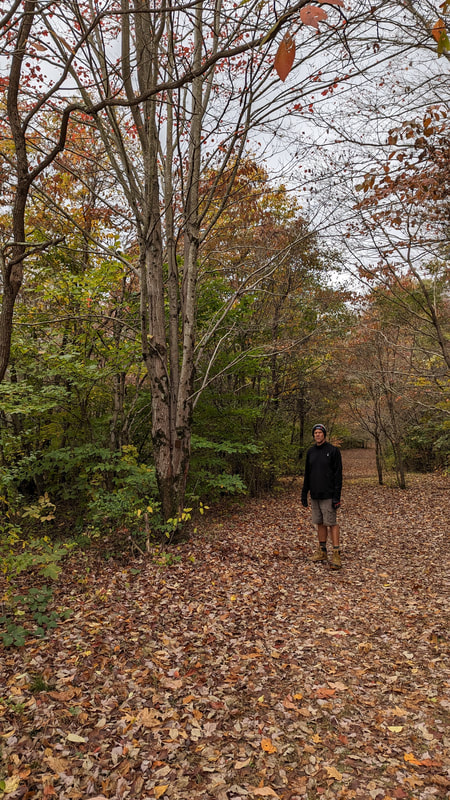
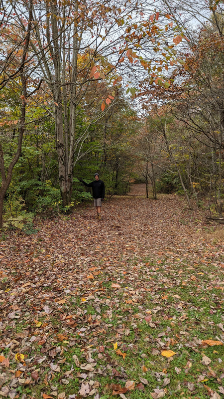
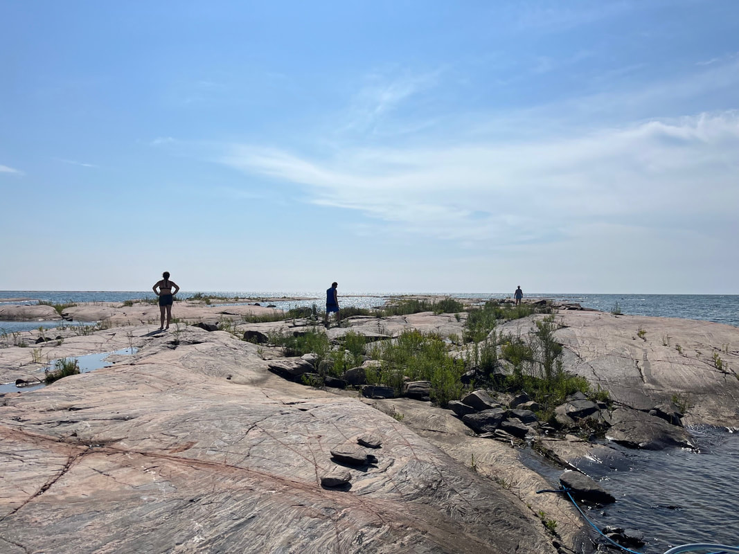
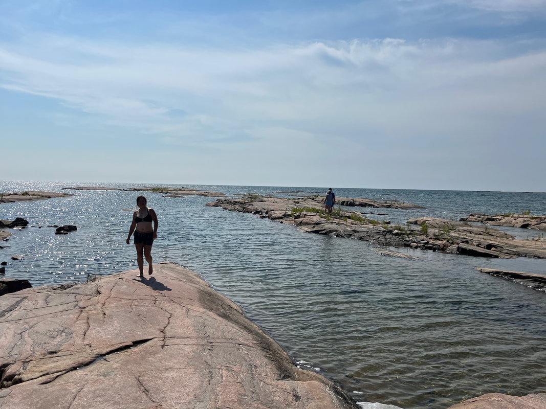
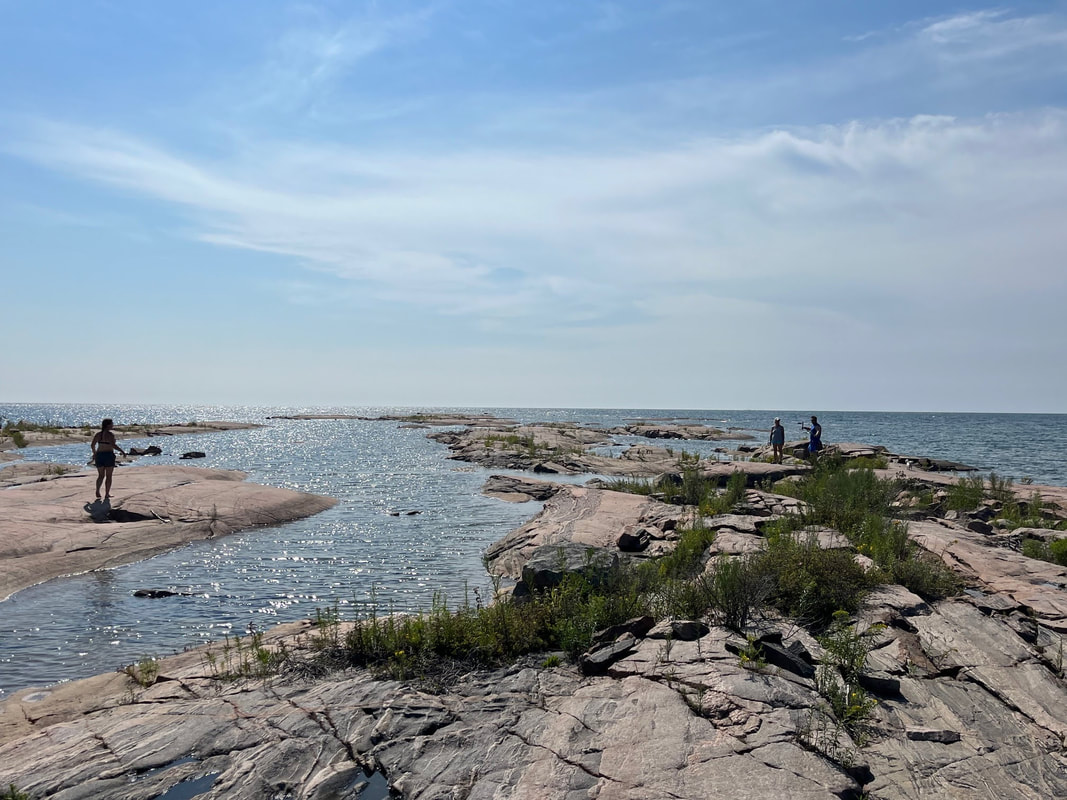
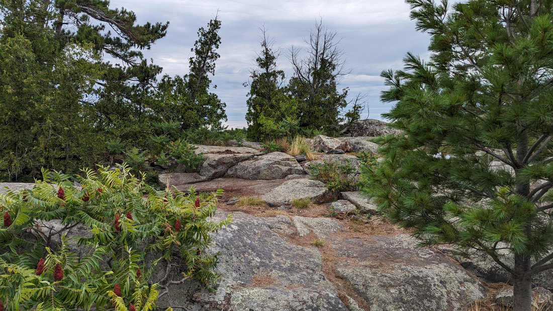
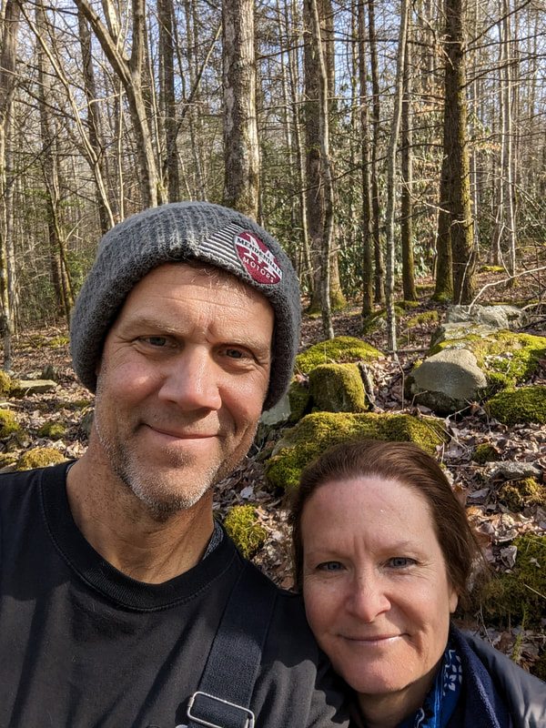
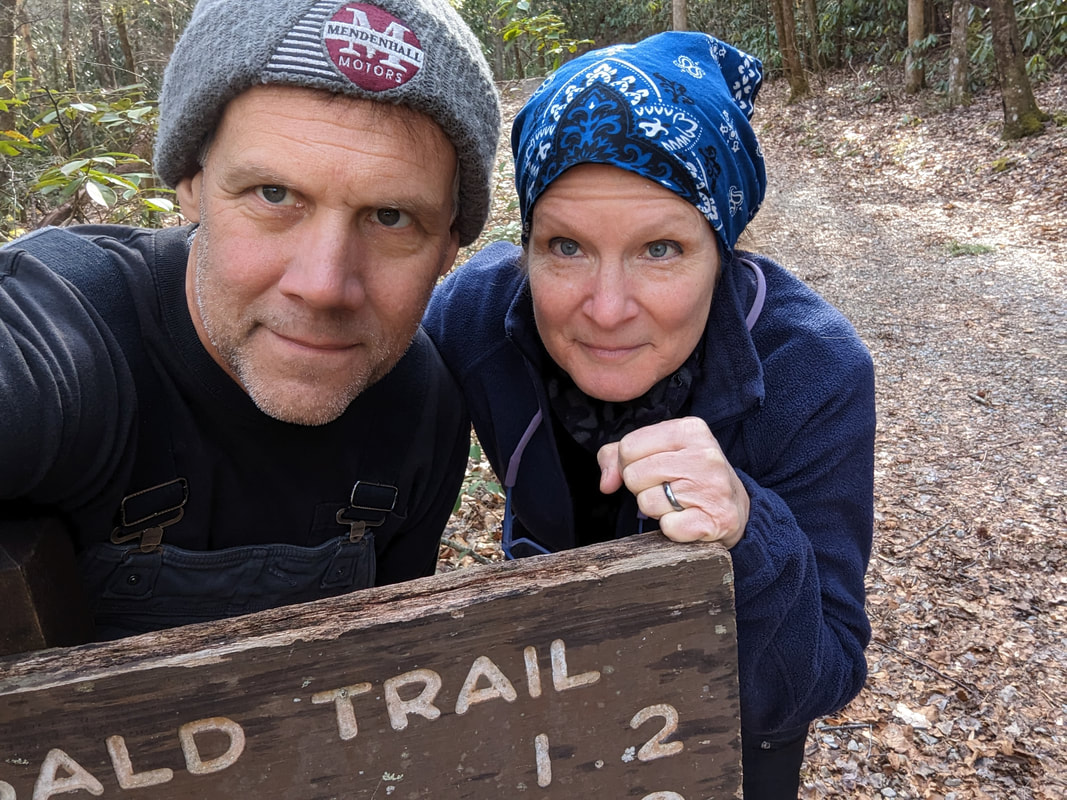
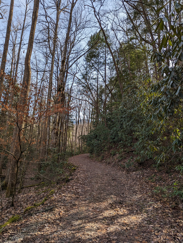
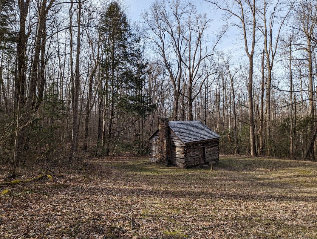
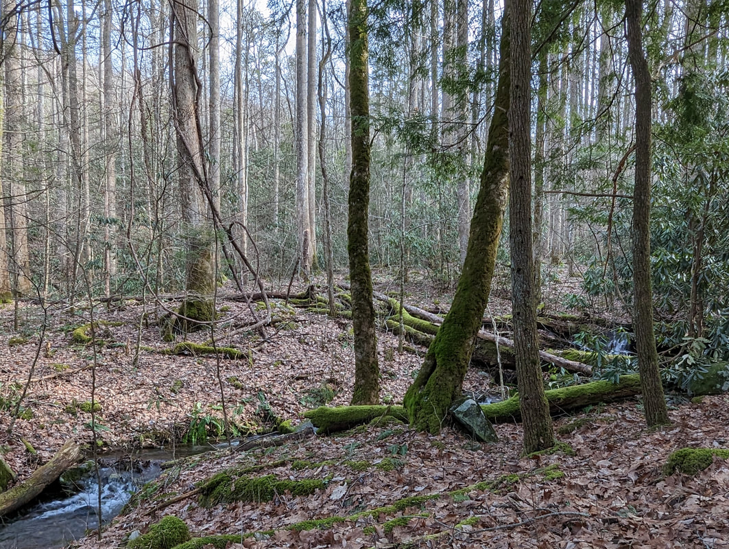
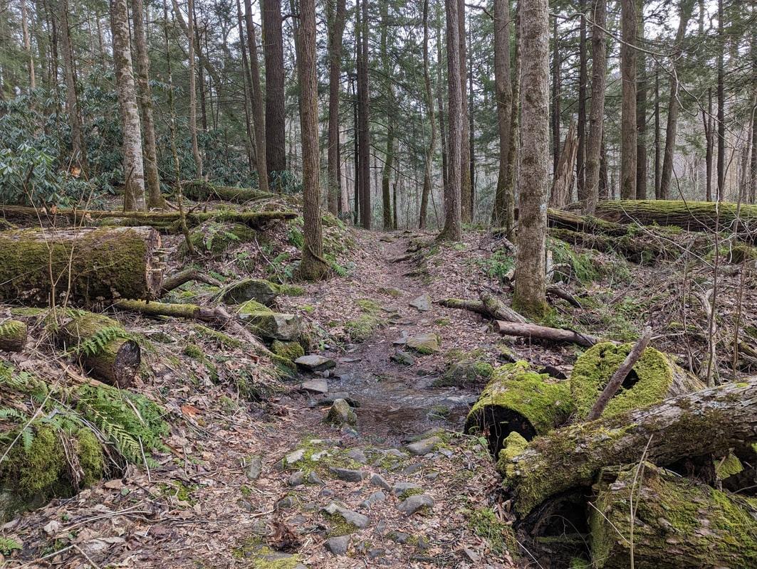
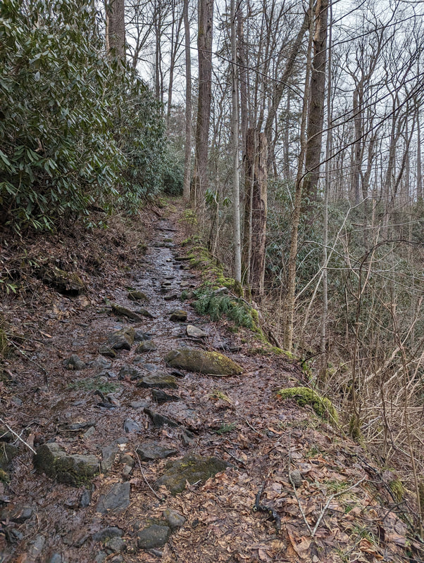
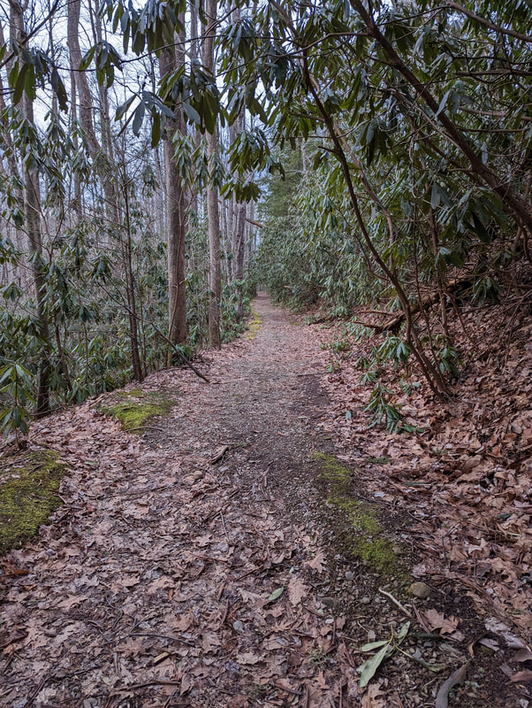
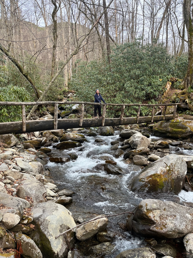
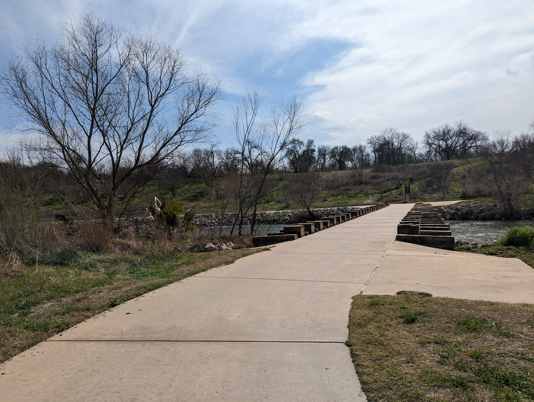
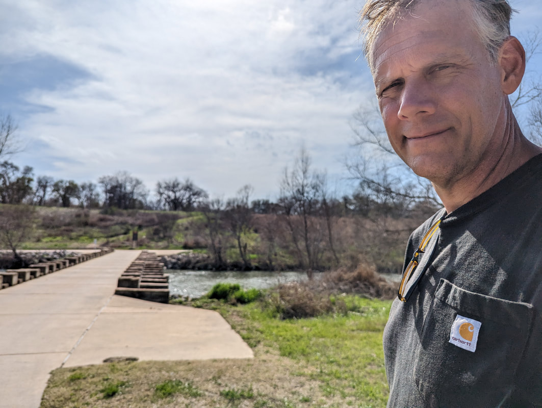
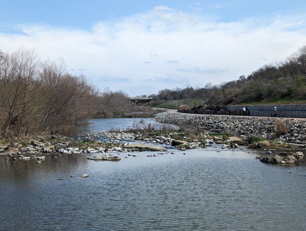
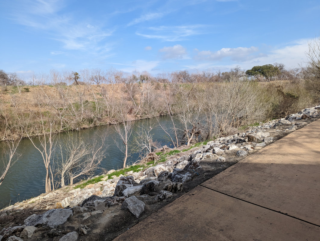
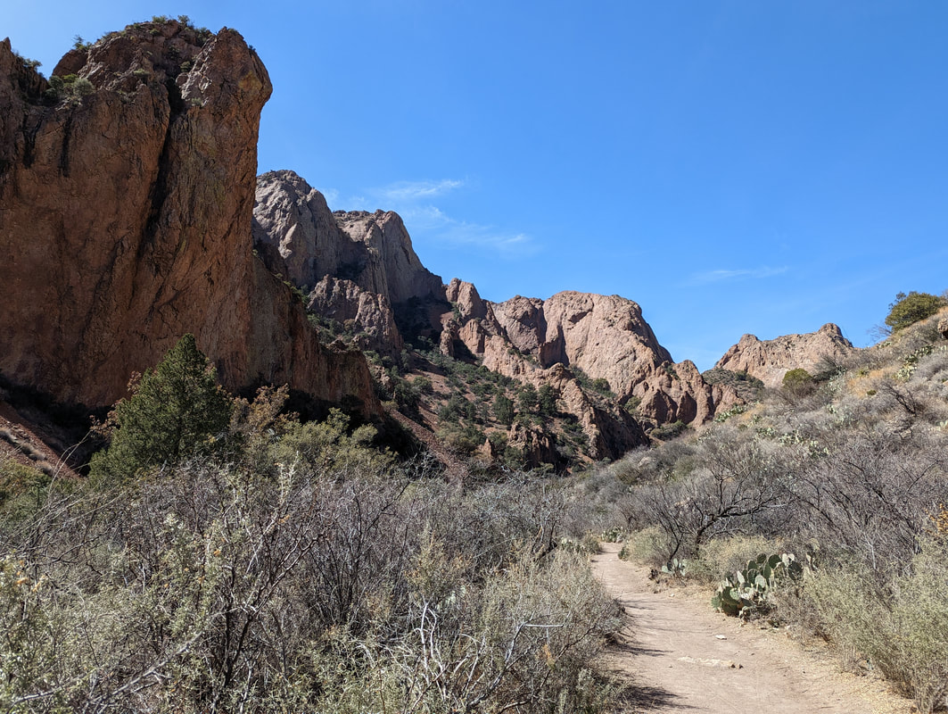
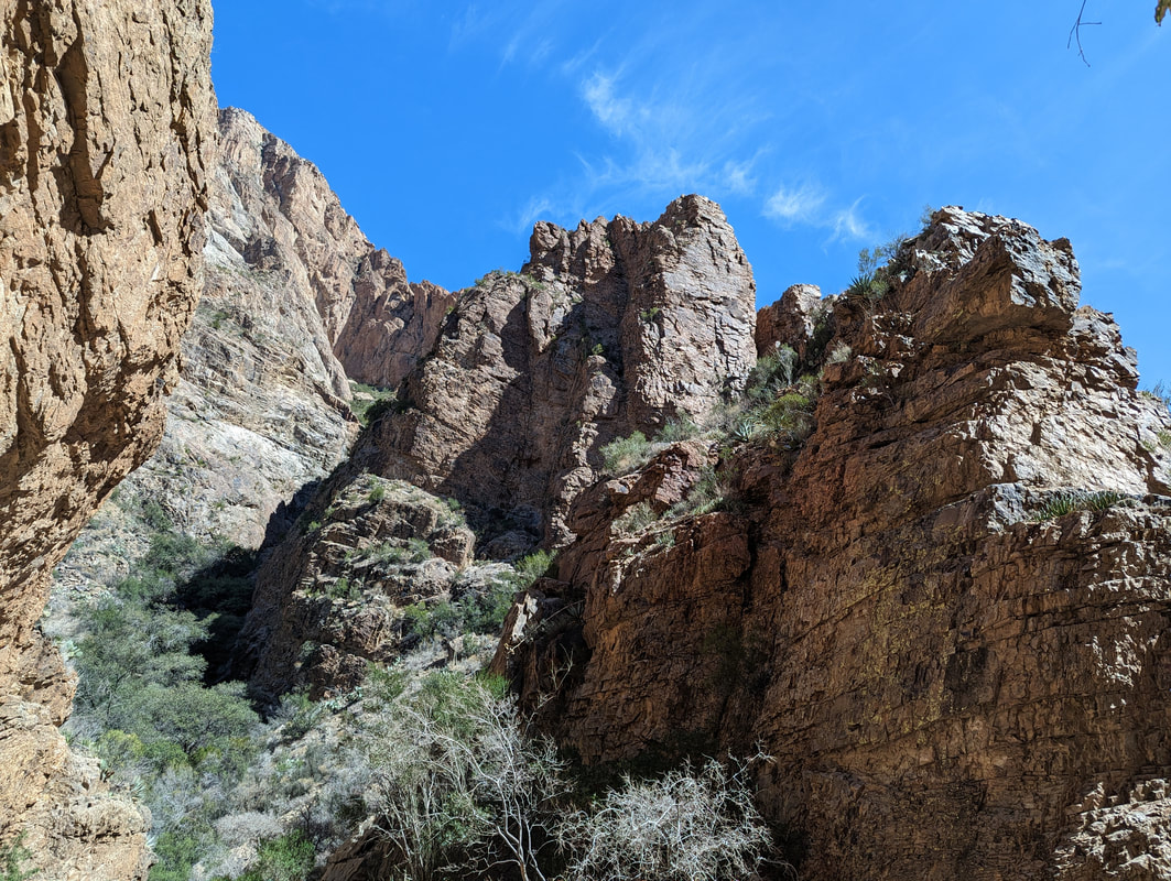
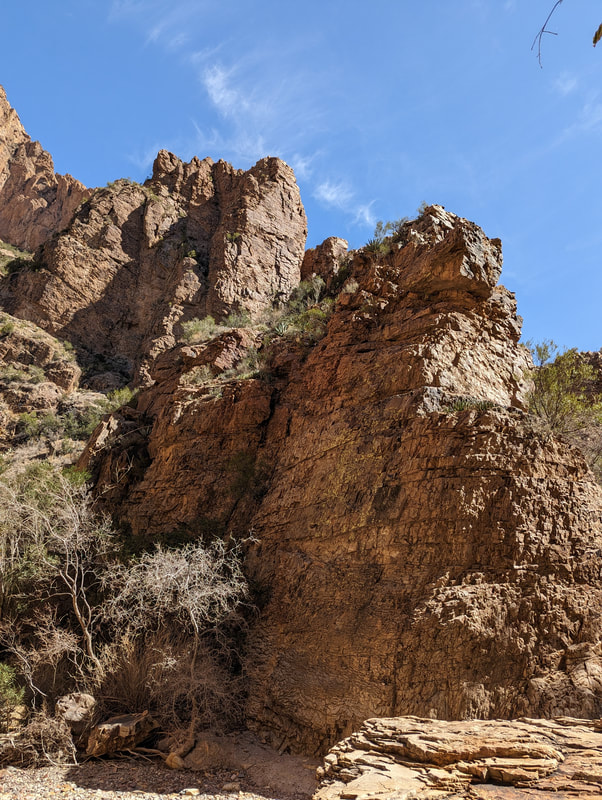
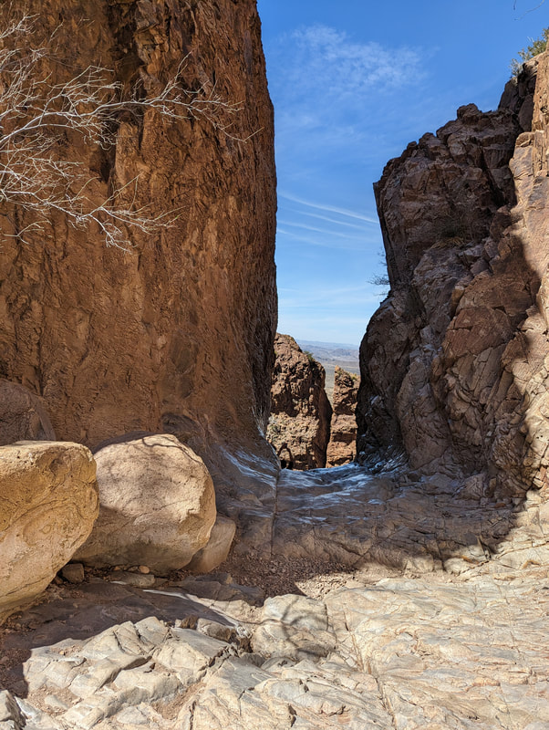
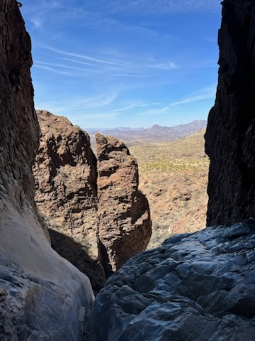
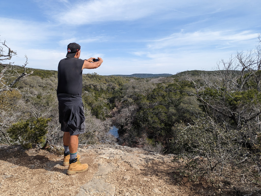
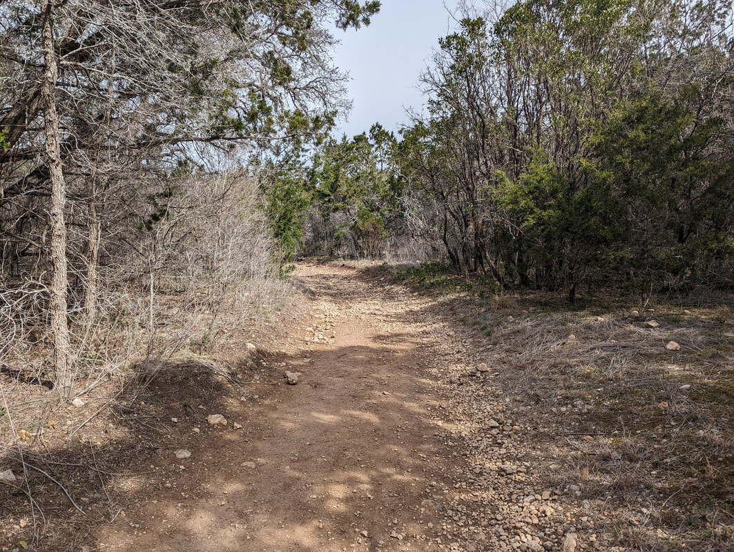
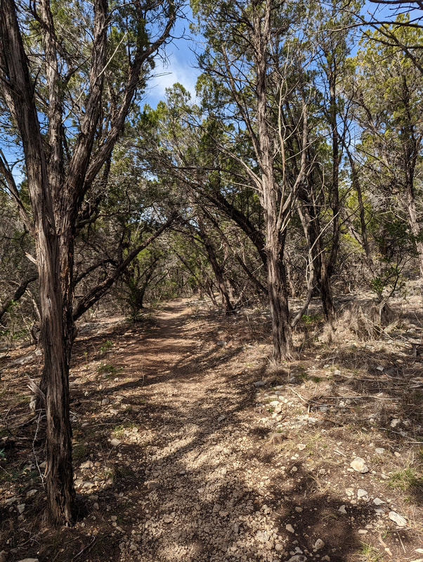
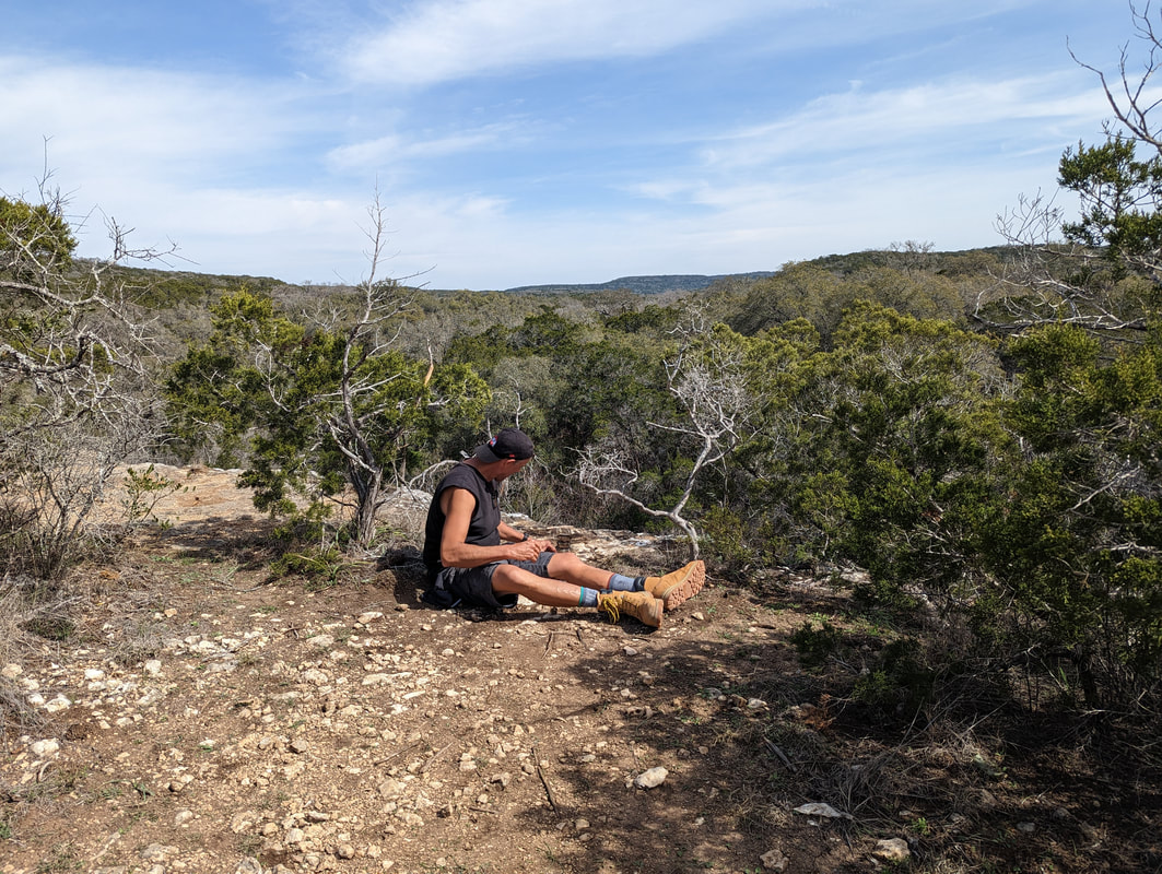
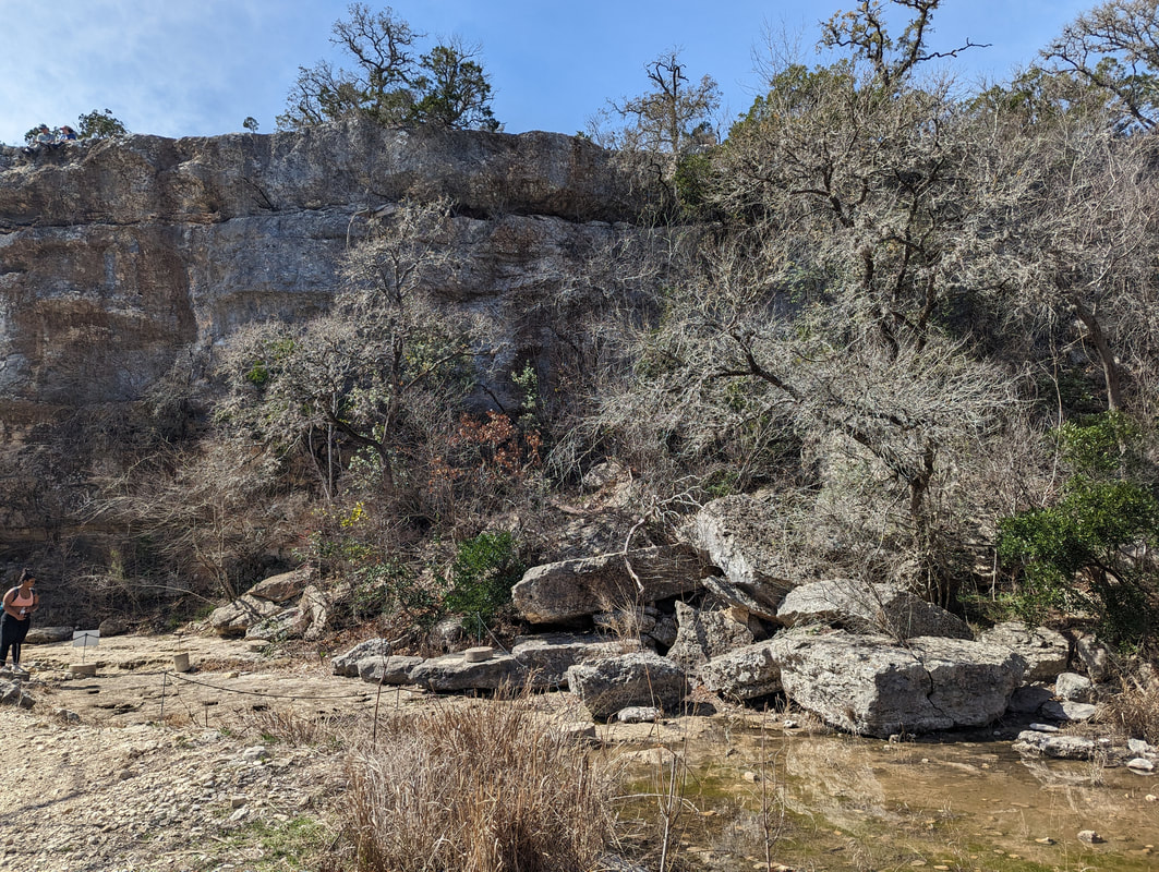
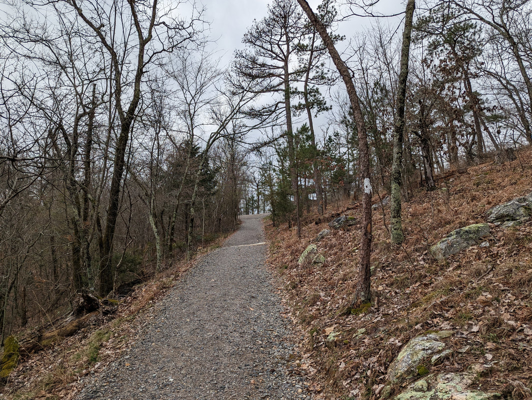
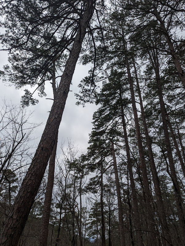
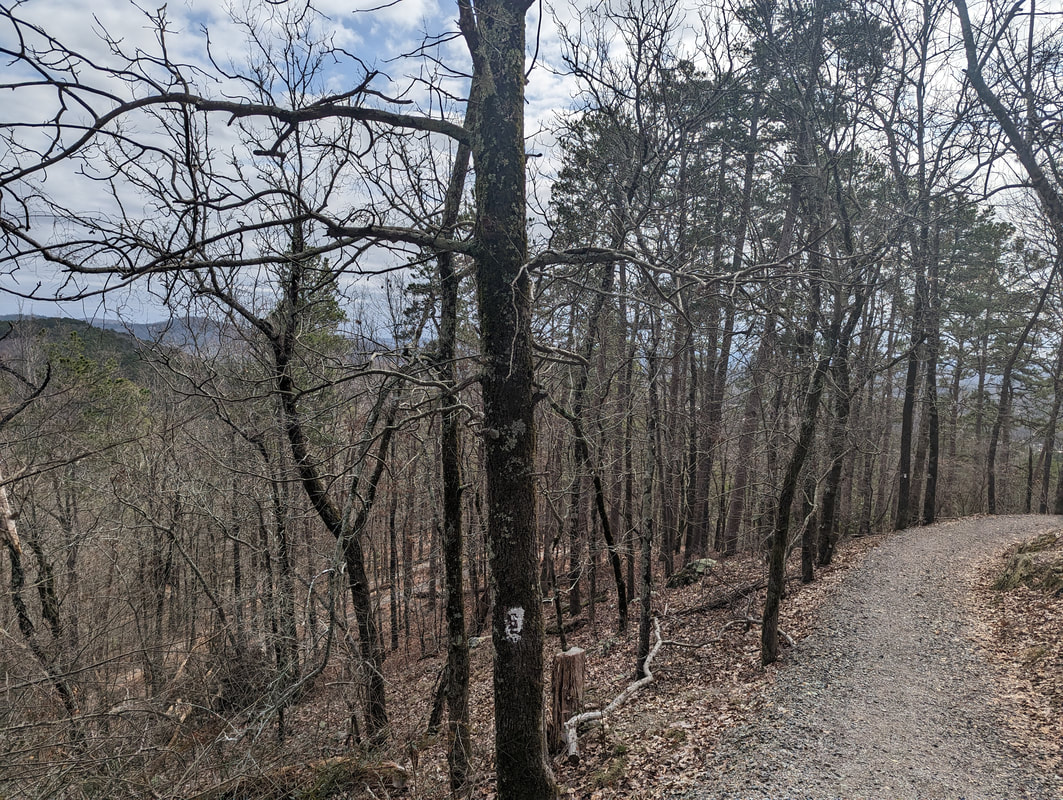
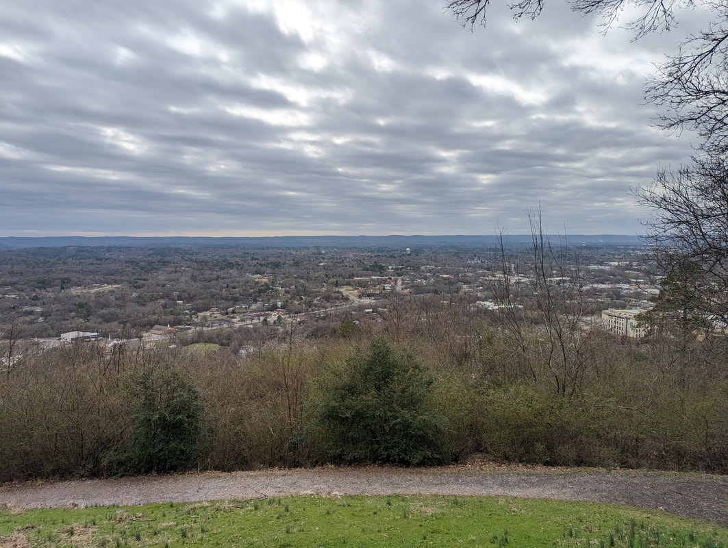
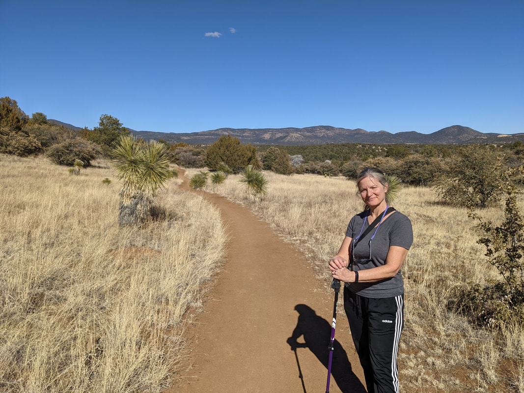
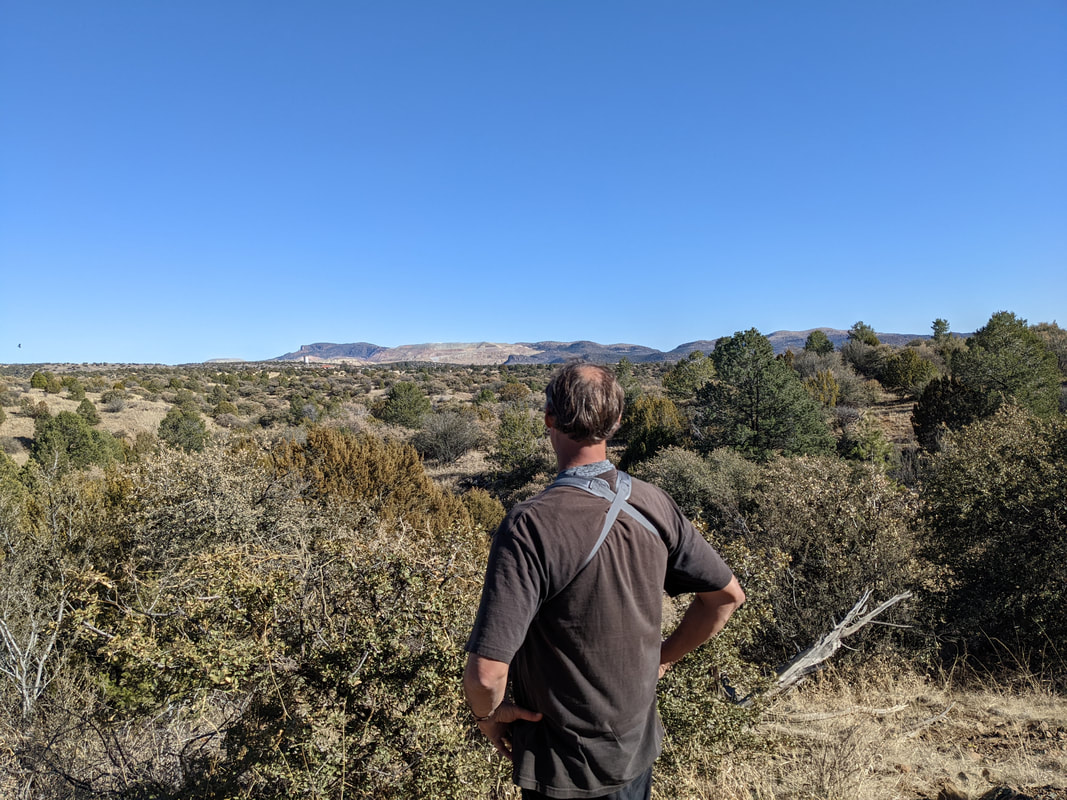
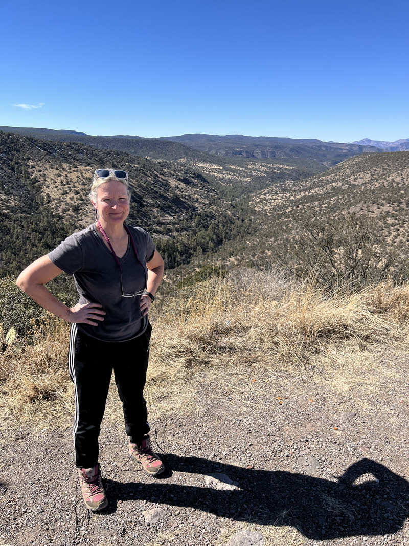
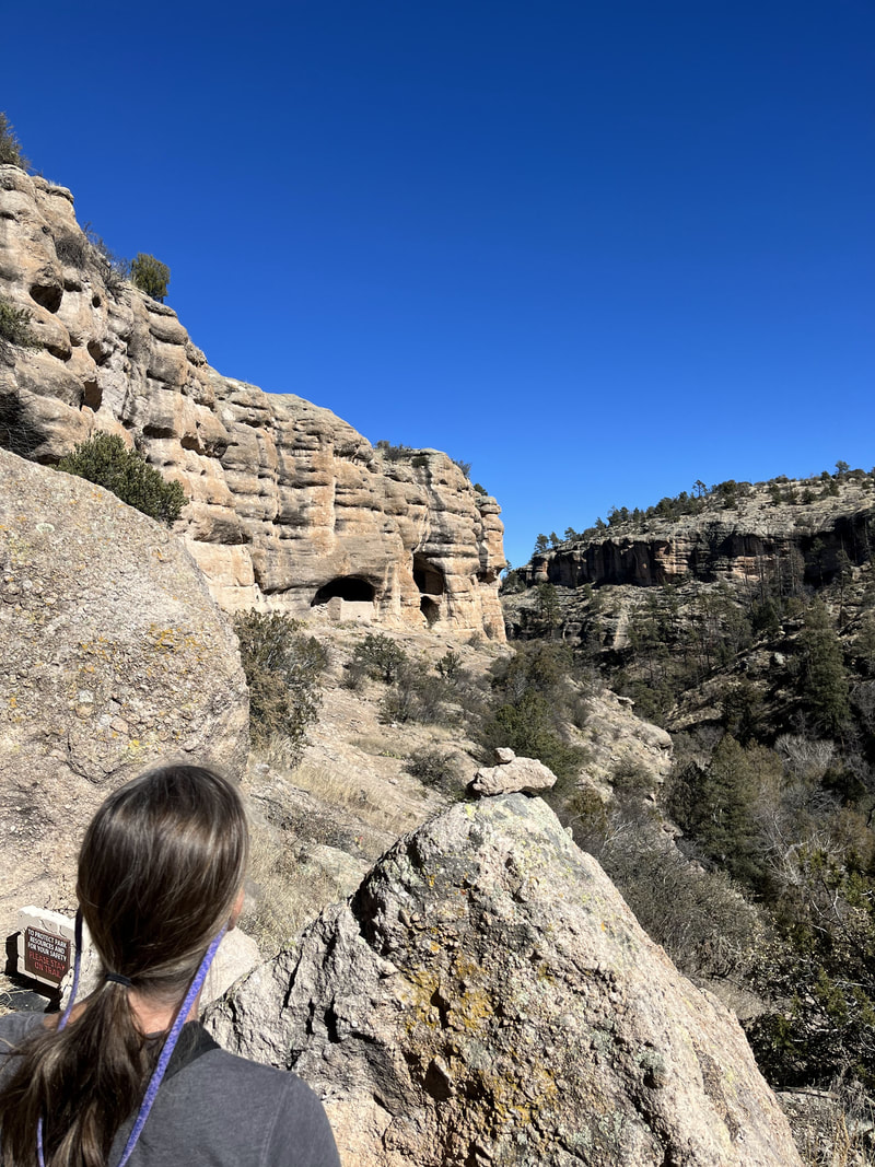
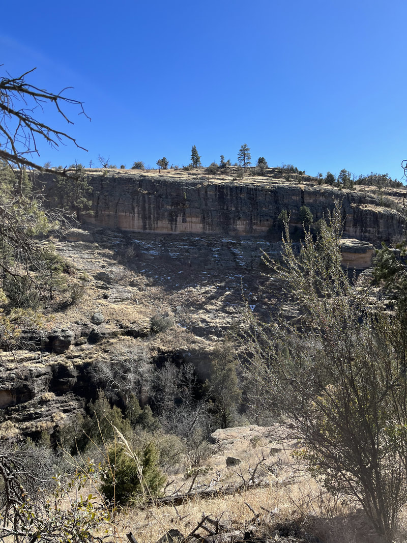
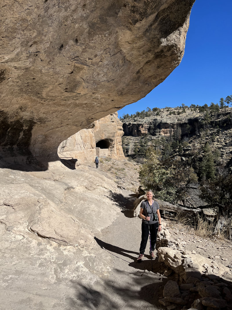
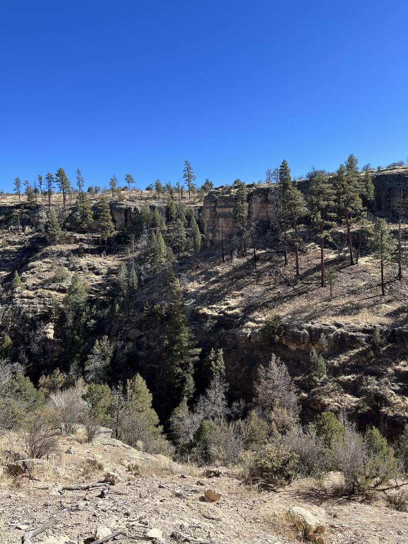
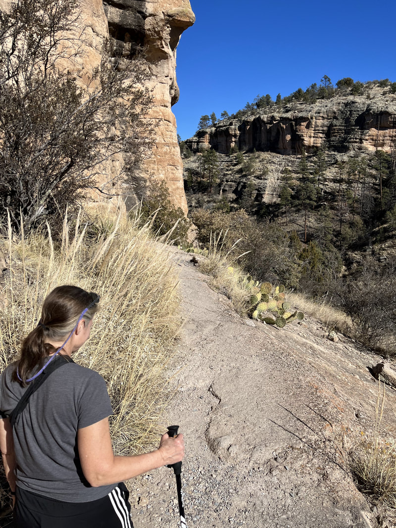
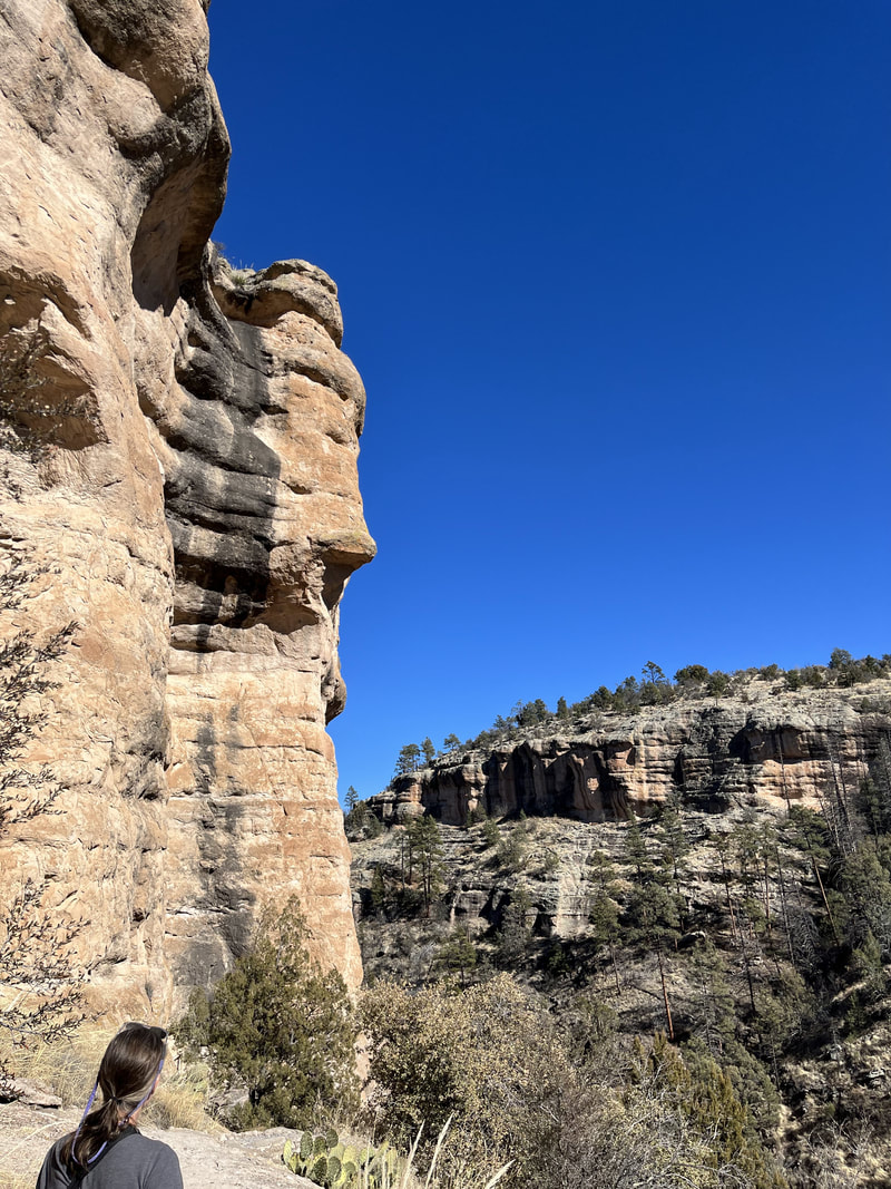
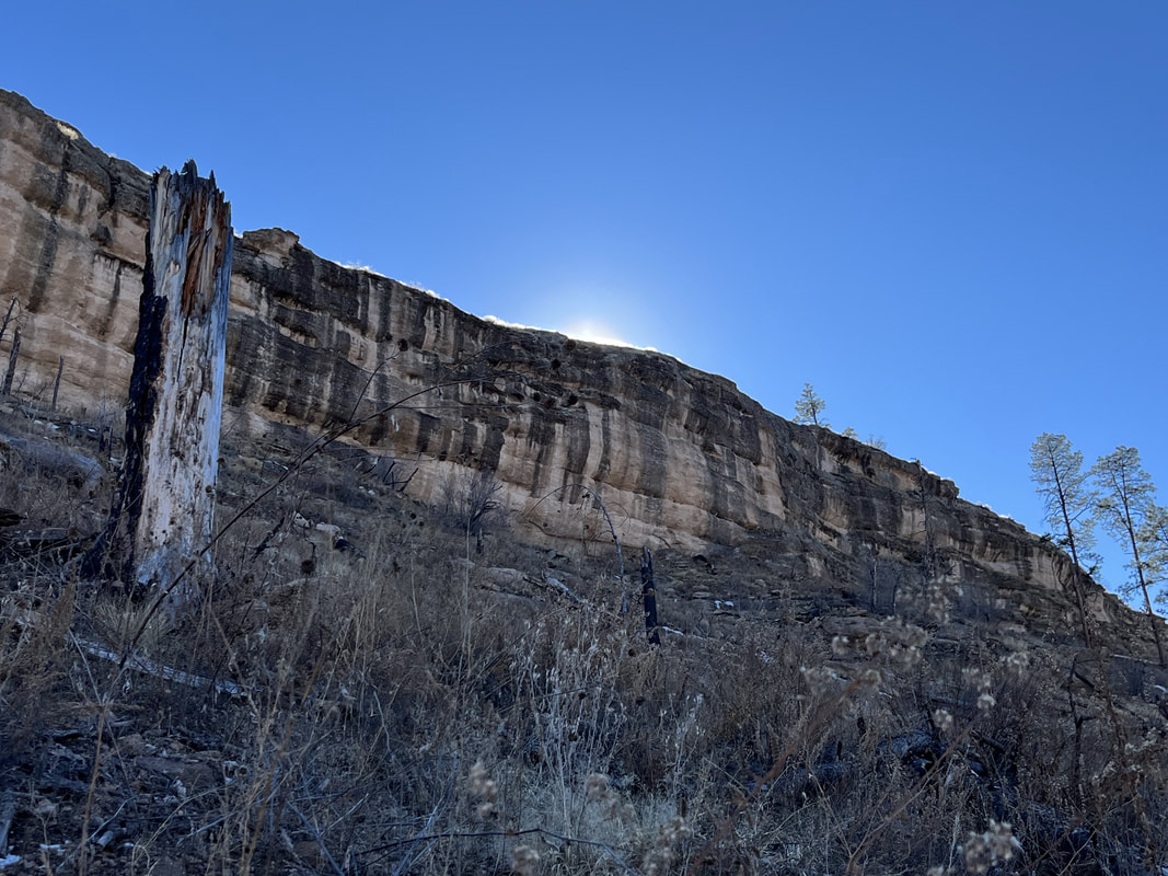
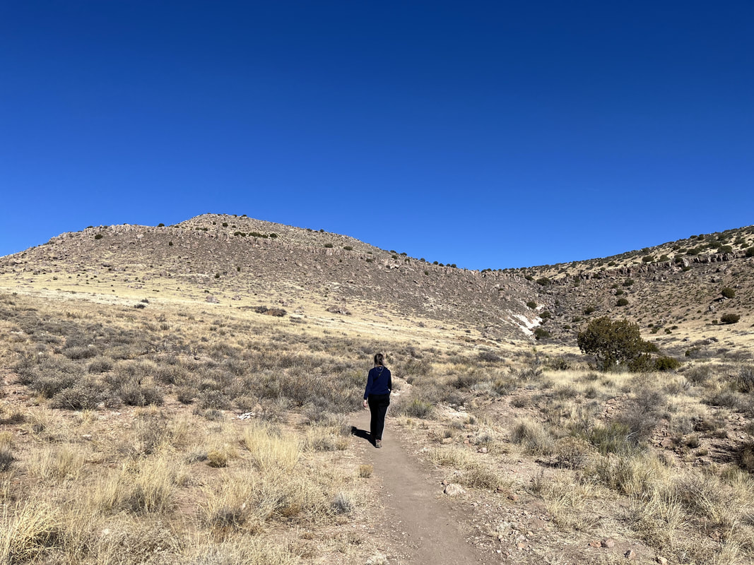
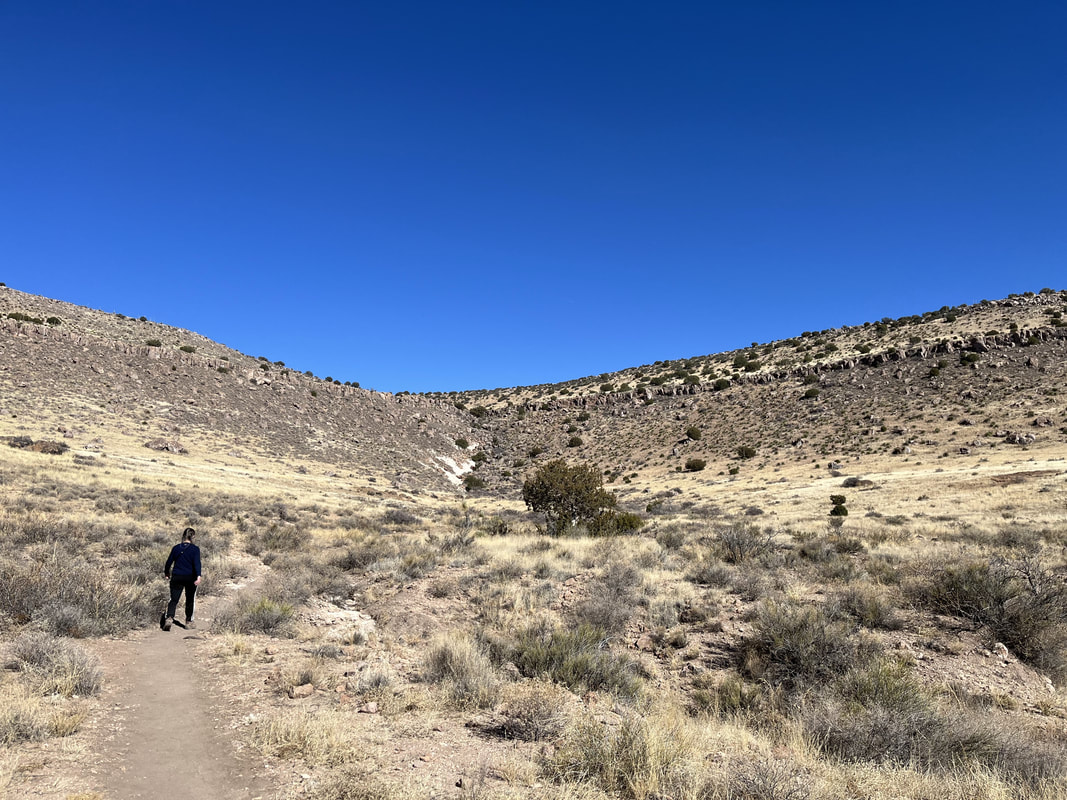
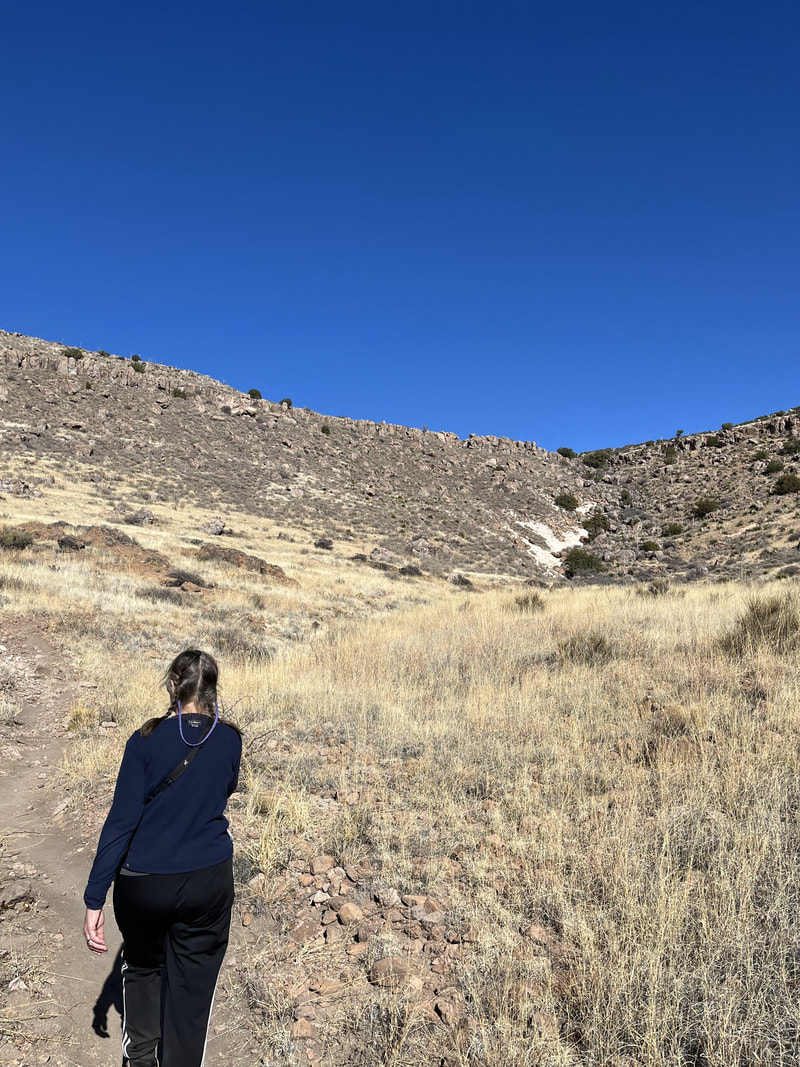
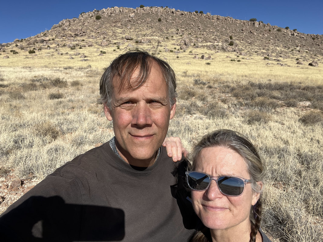
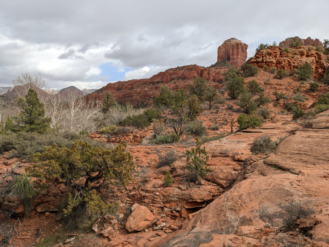
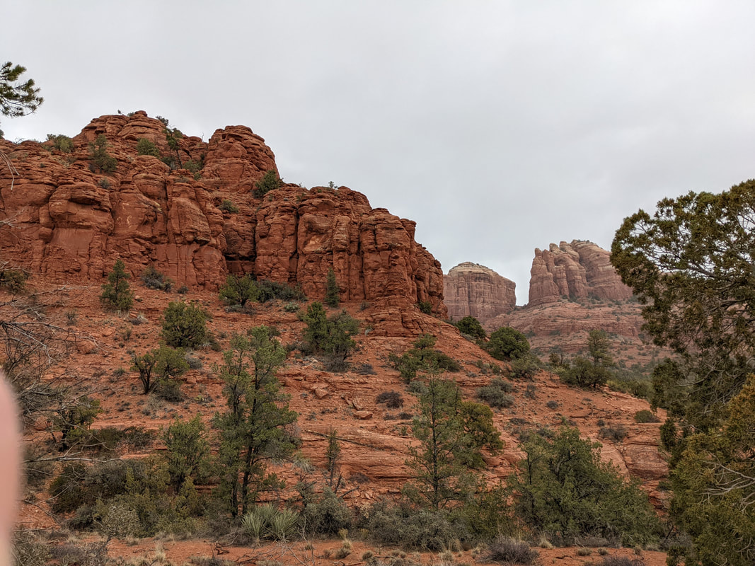
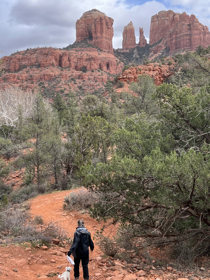
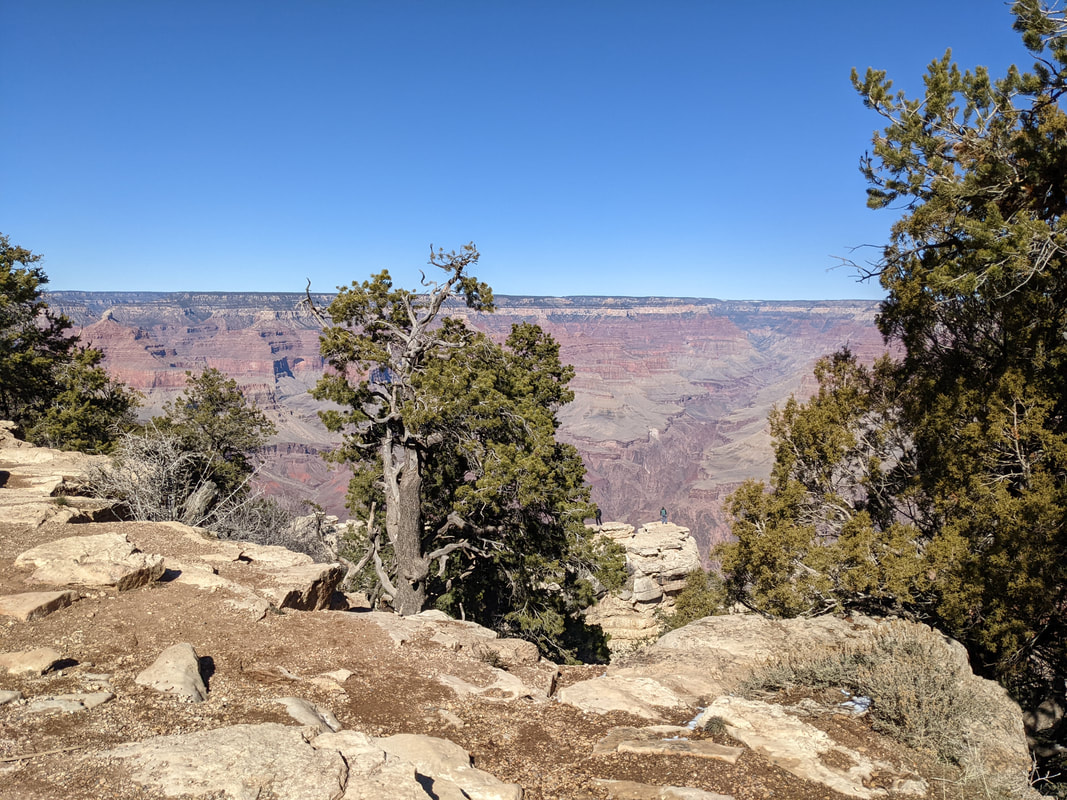
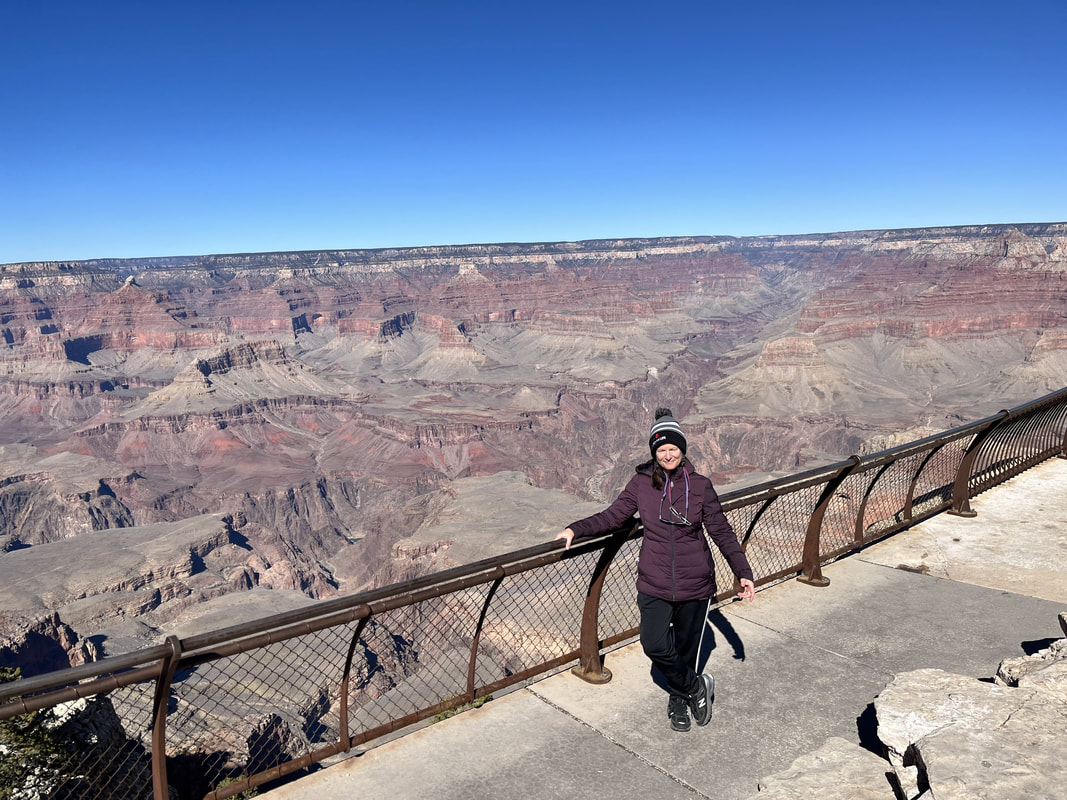
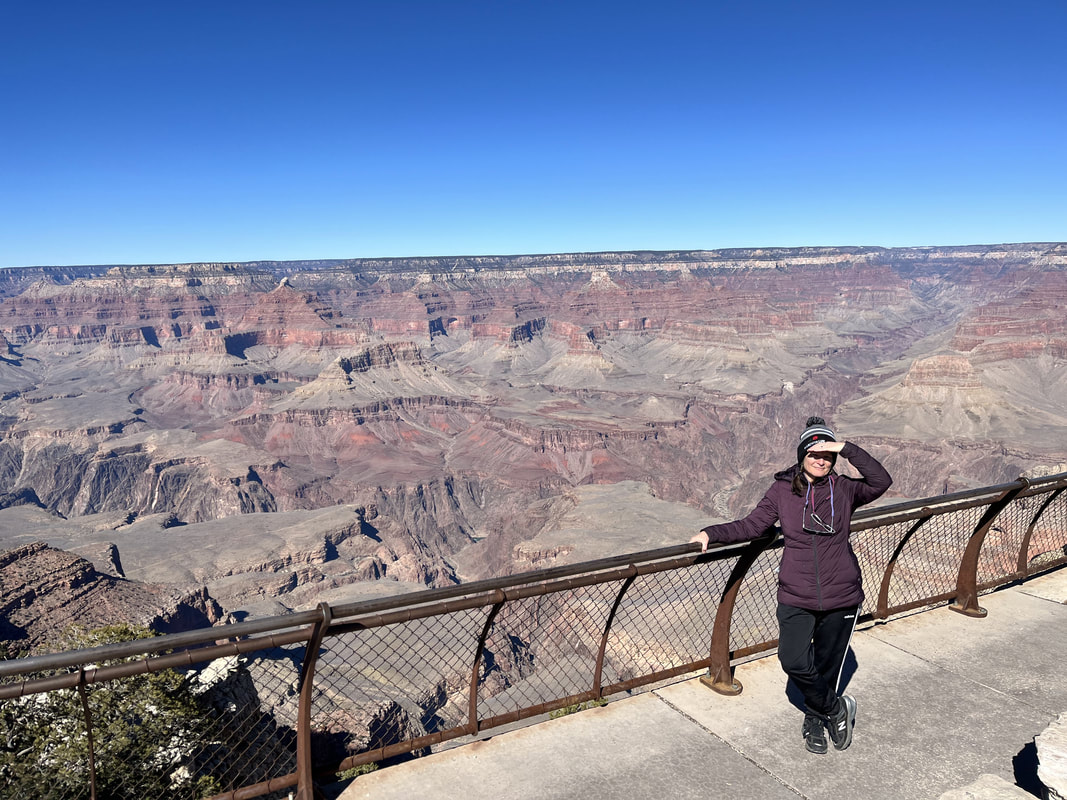
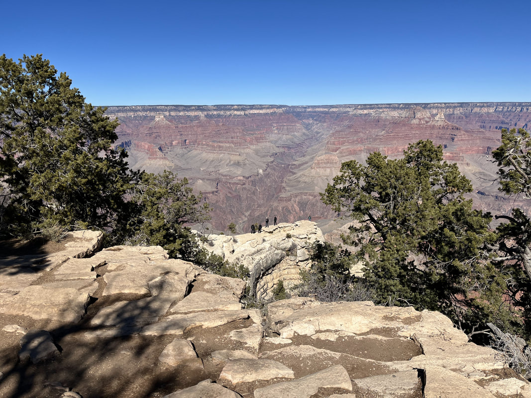
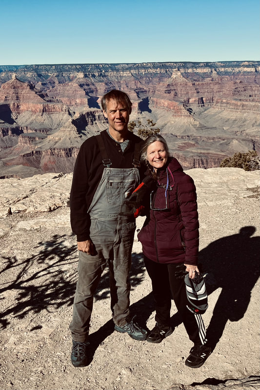
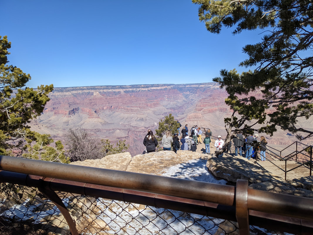
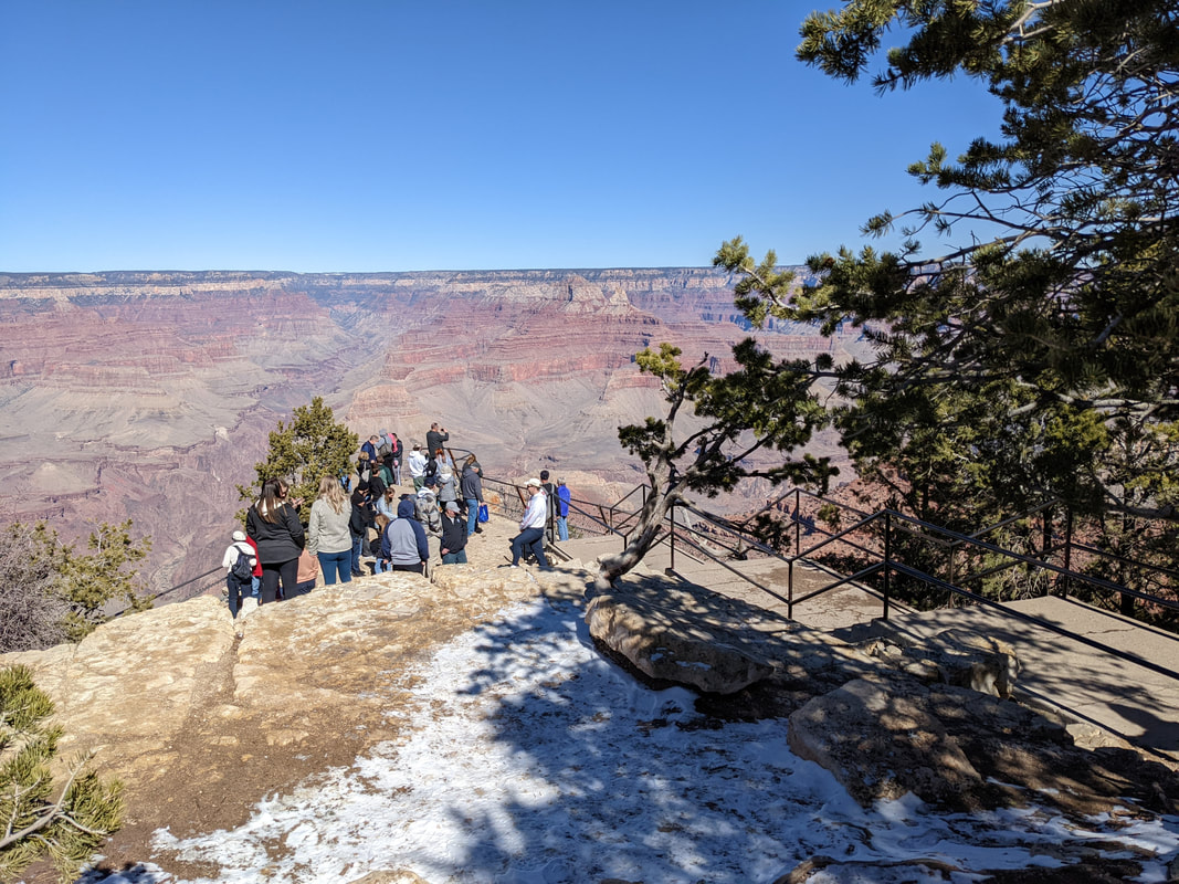
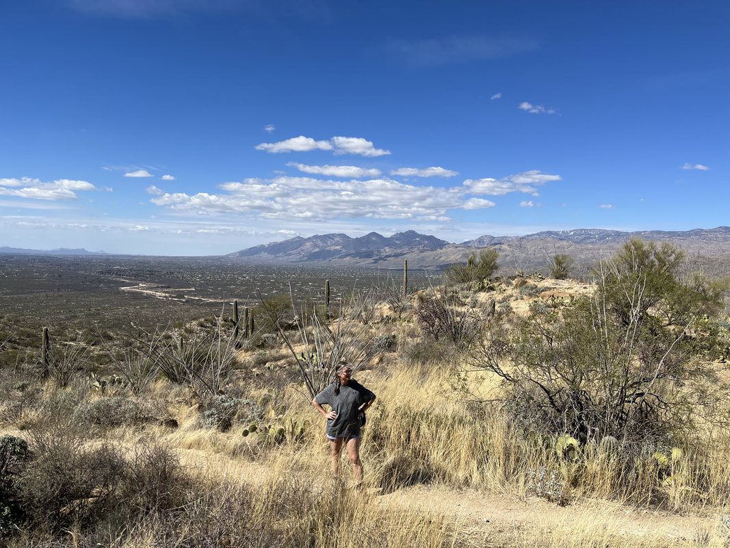
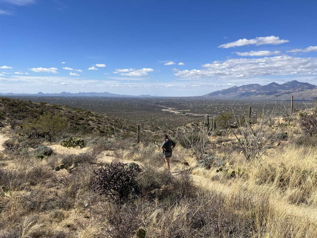
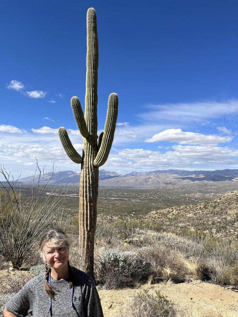
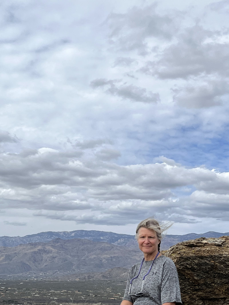
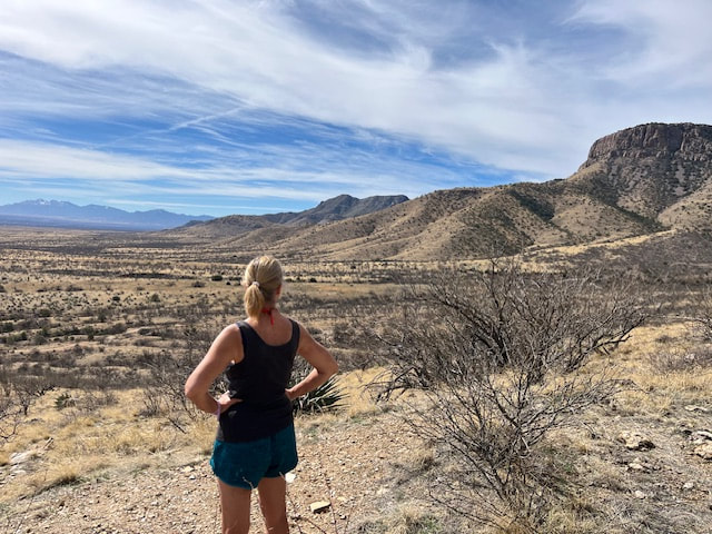
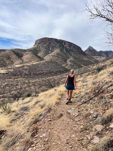
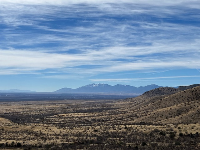
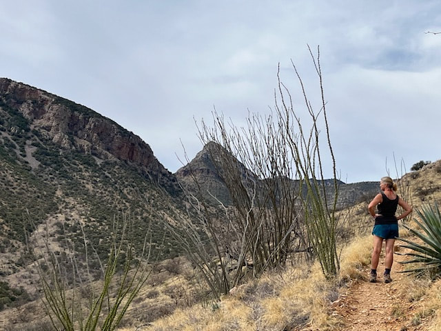
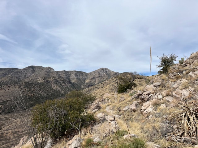
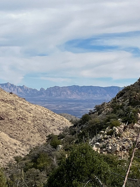
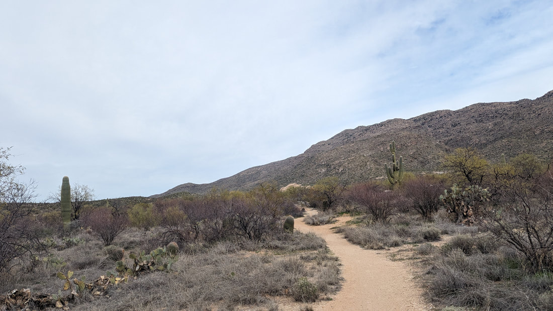
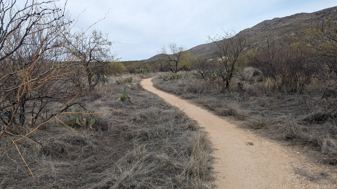
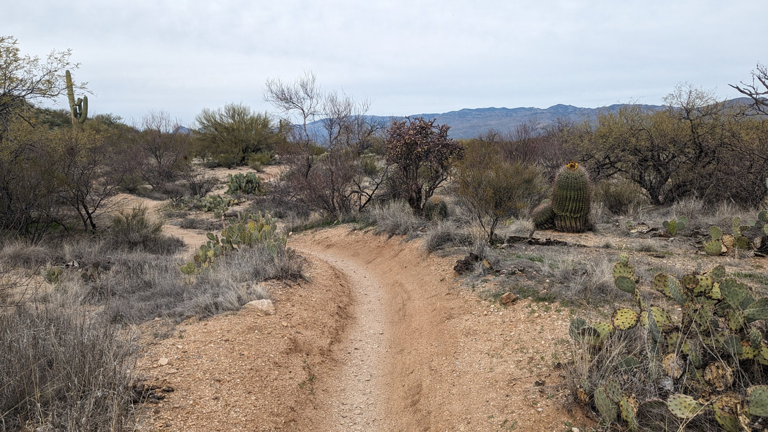
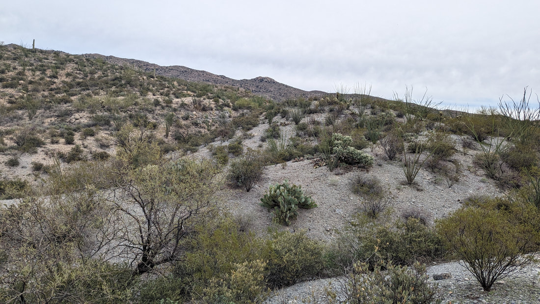
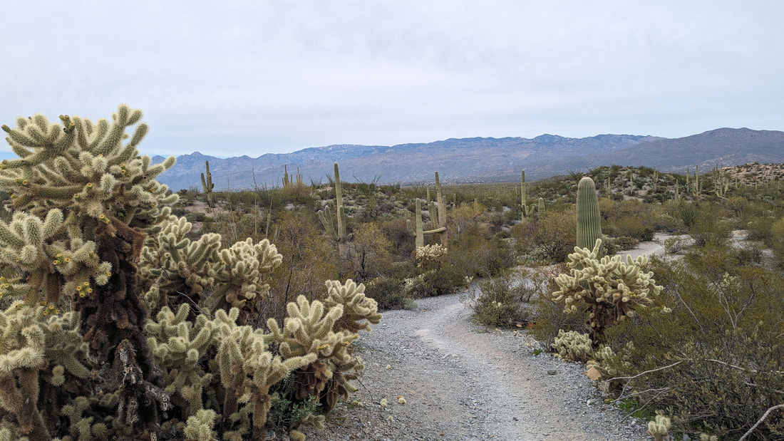
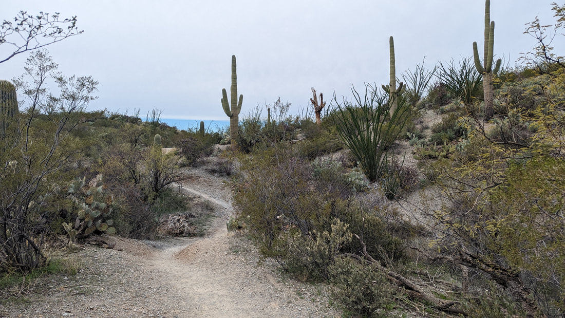
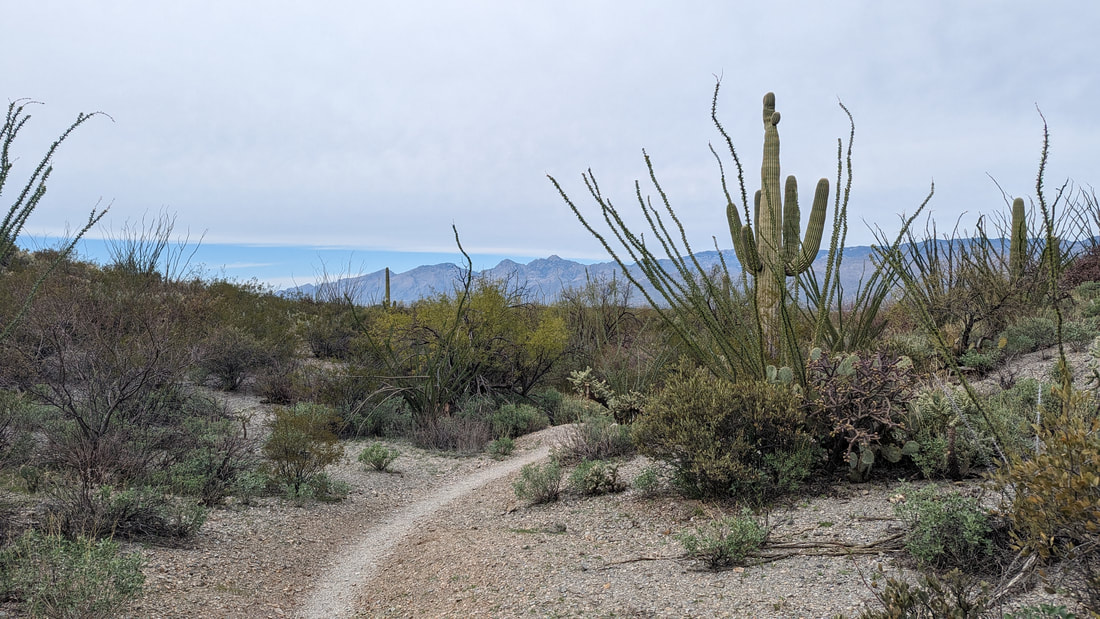
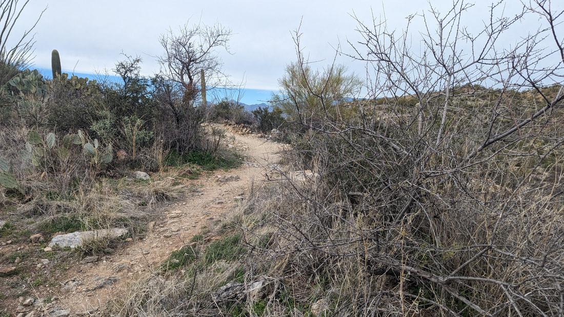
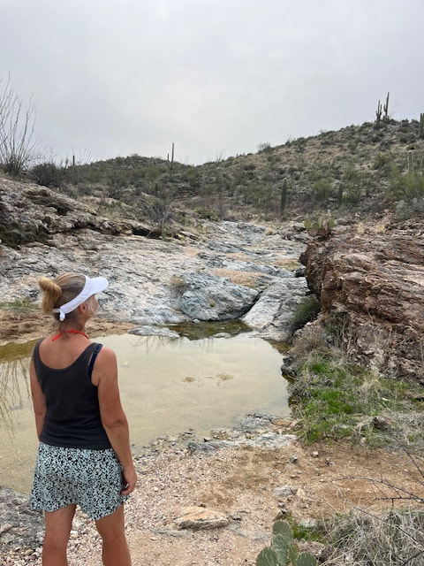
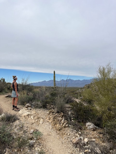
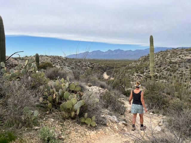
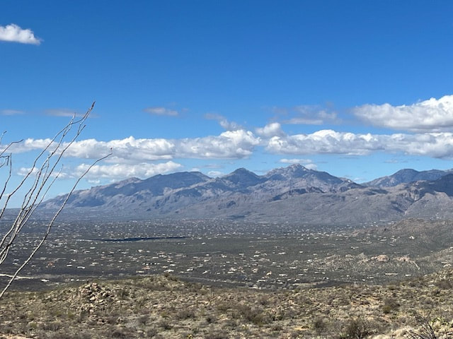
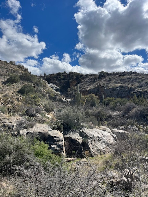
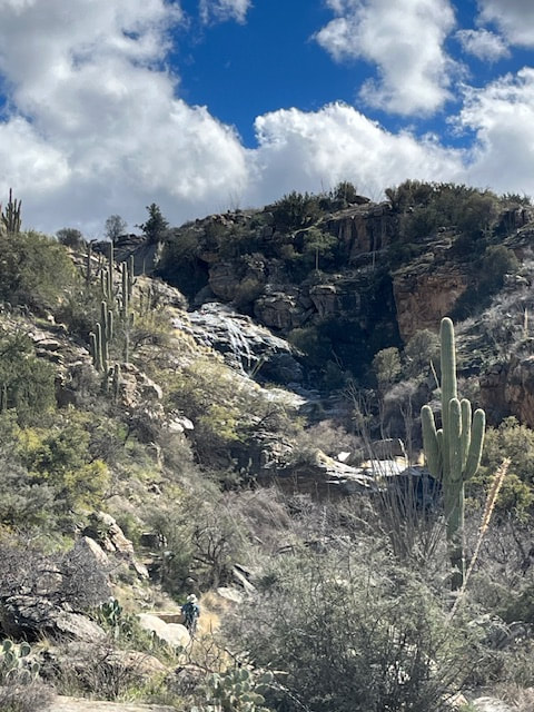
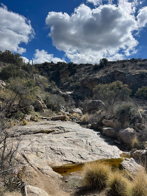
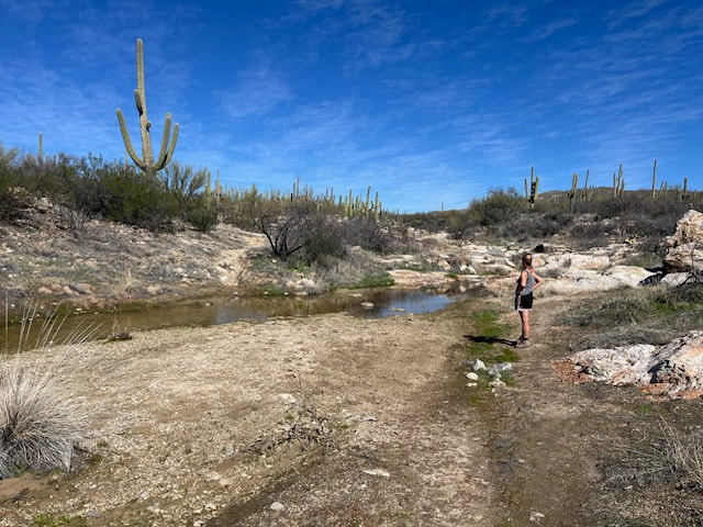
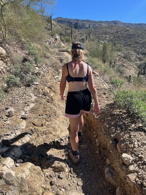
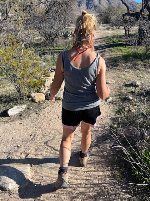
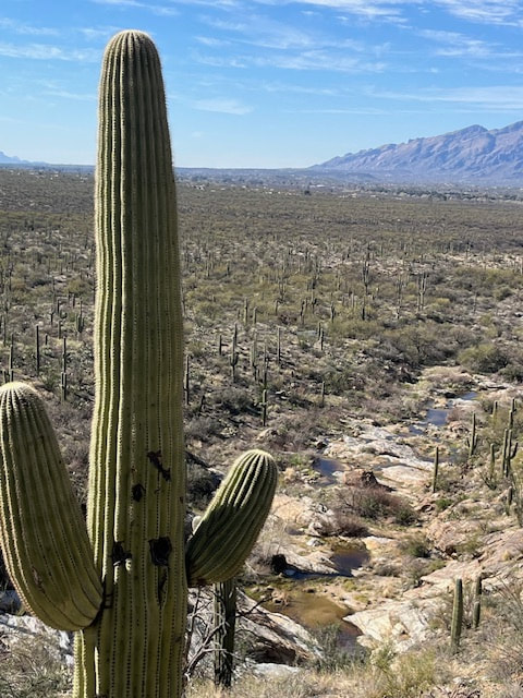
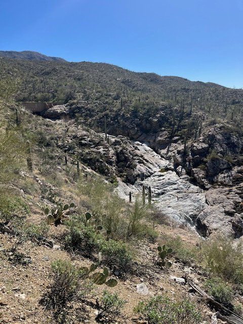
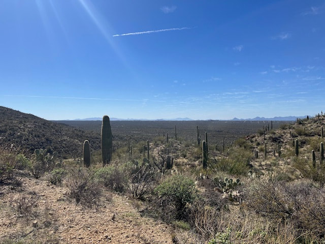
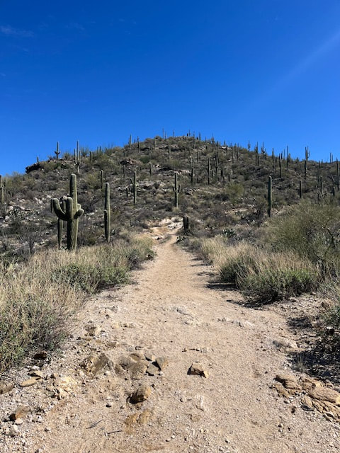
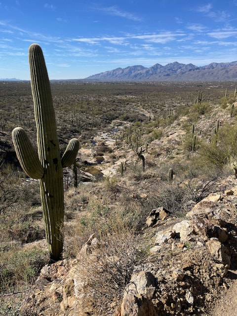
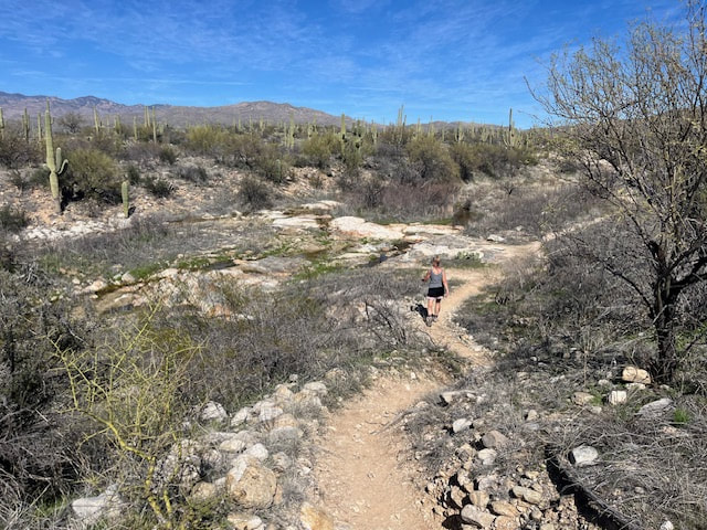
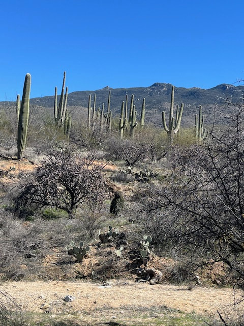
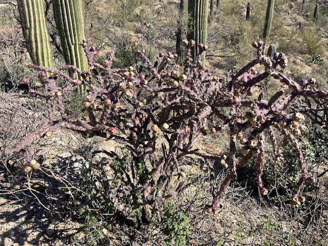
Our hike was back in Saguaro National Park. We walked all the way to Bridal Wreath Falls this time, on the same path we started a couple days ago: Loma Verde to Squeeze Pen to Carrillo, then onto the new trails of Three Tank, Douglas Spring, and Bridal Wreath. It was a 12.5 mile hike, and it took us 5.5 hours. It was an absolutely beautiful day, the temperature was mild (low 70s), the sky was bright blue, a few puffy clouds were floating above the peaks, and there was a light breeze. The paths wound through a hilly terrain at the base of the mountains, so there was always something different to see. Very beautiful. 
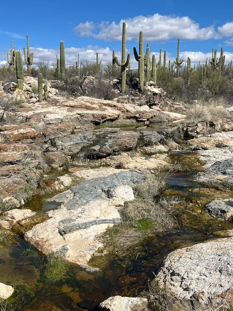
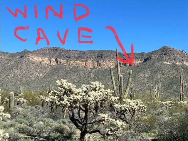
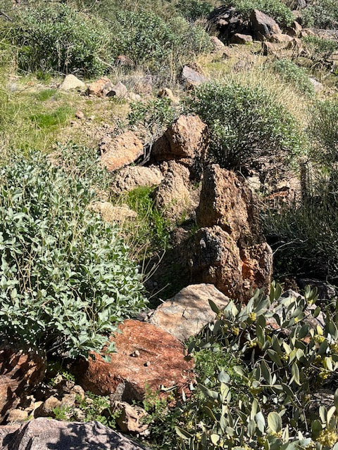
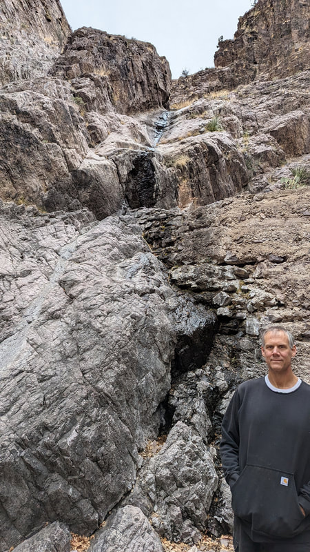
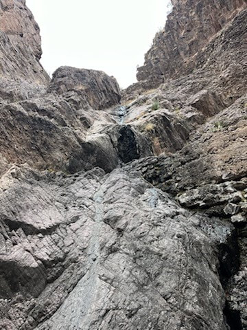
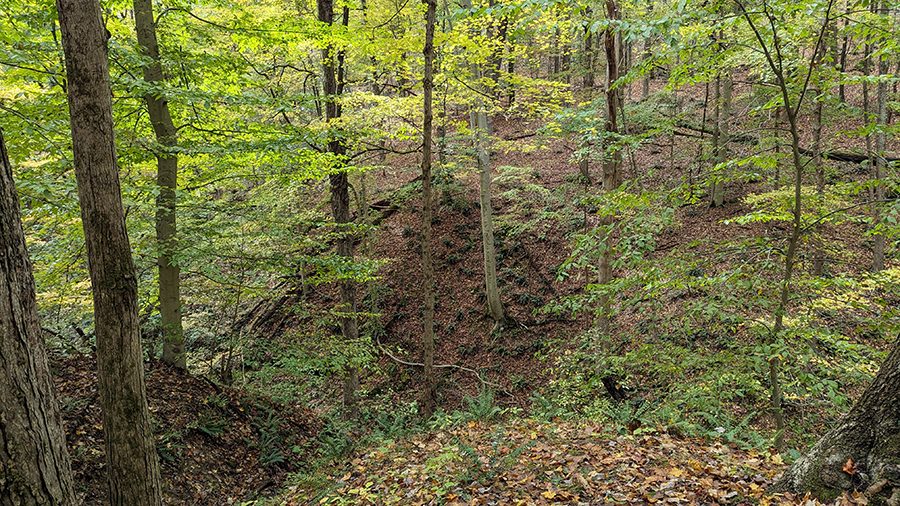
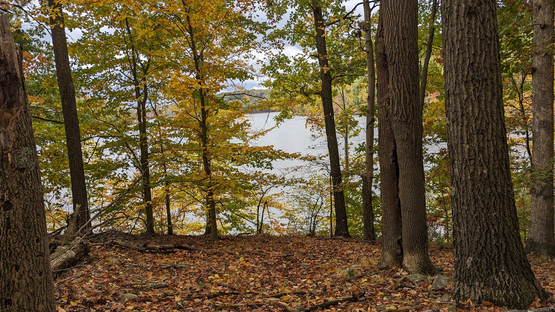
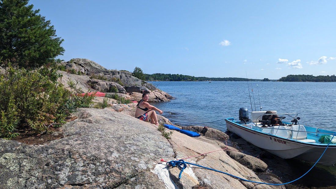
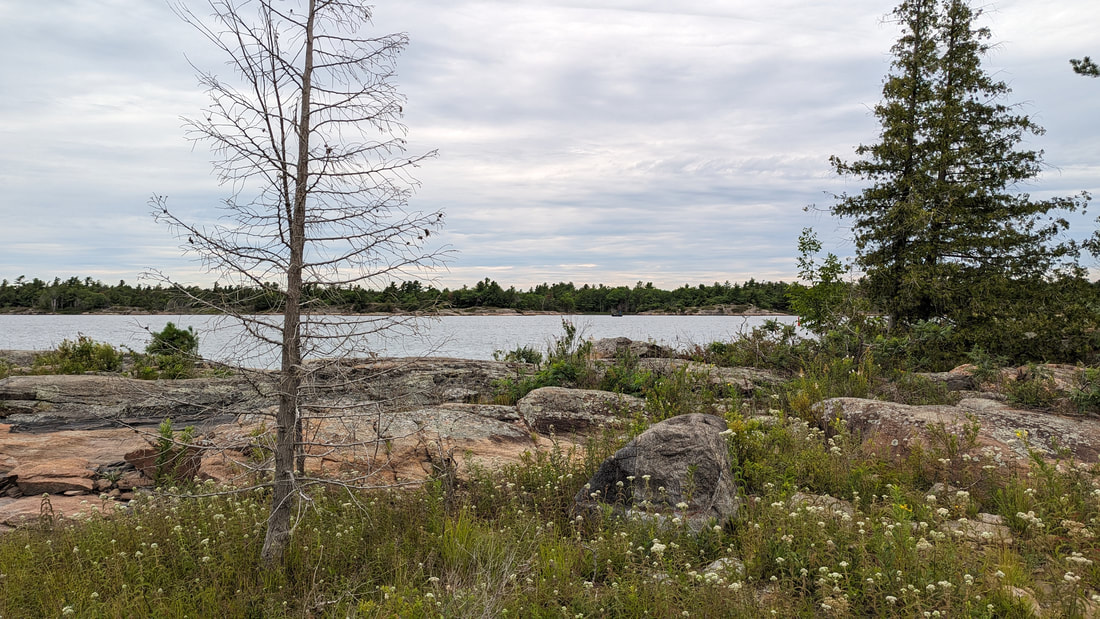
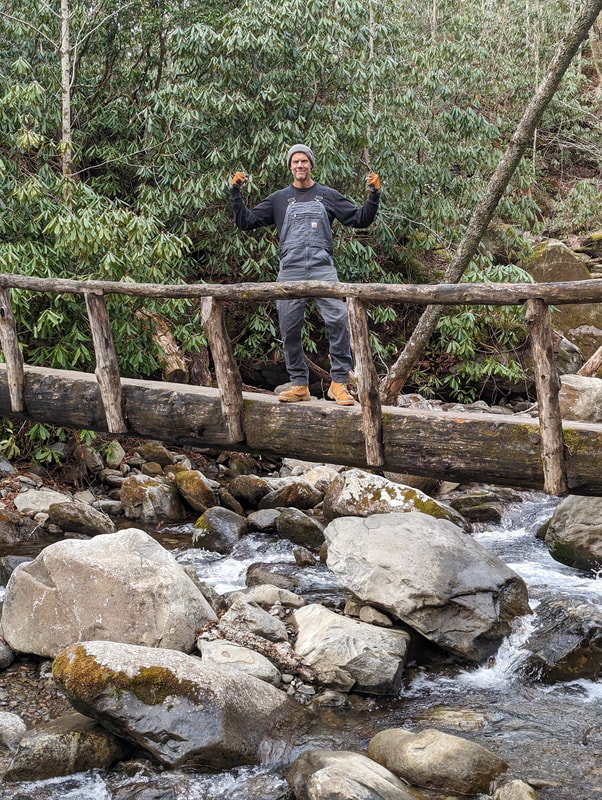
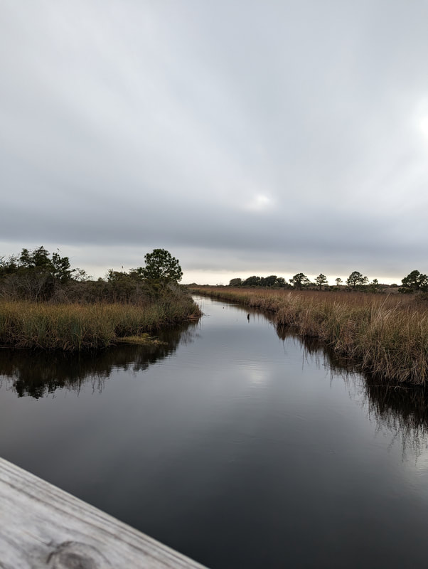
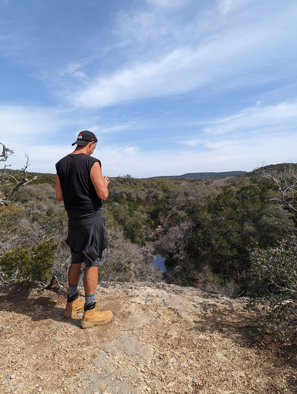
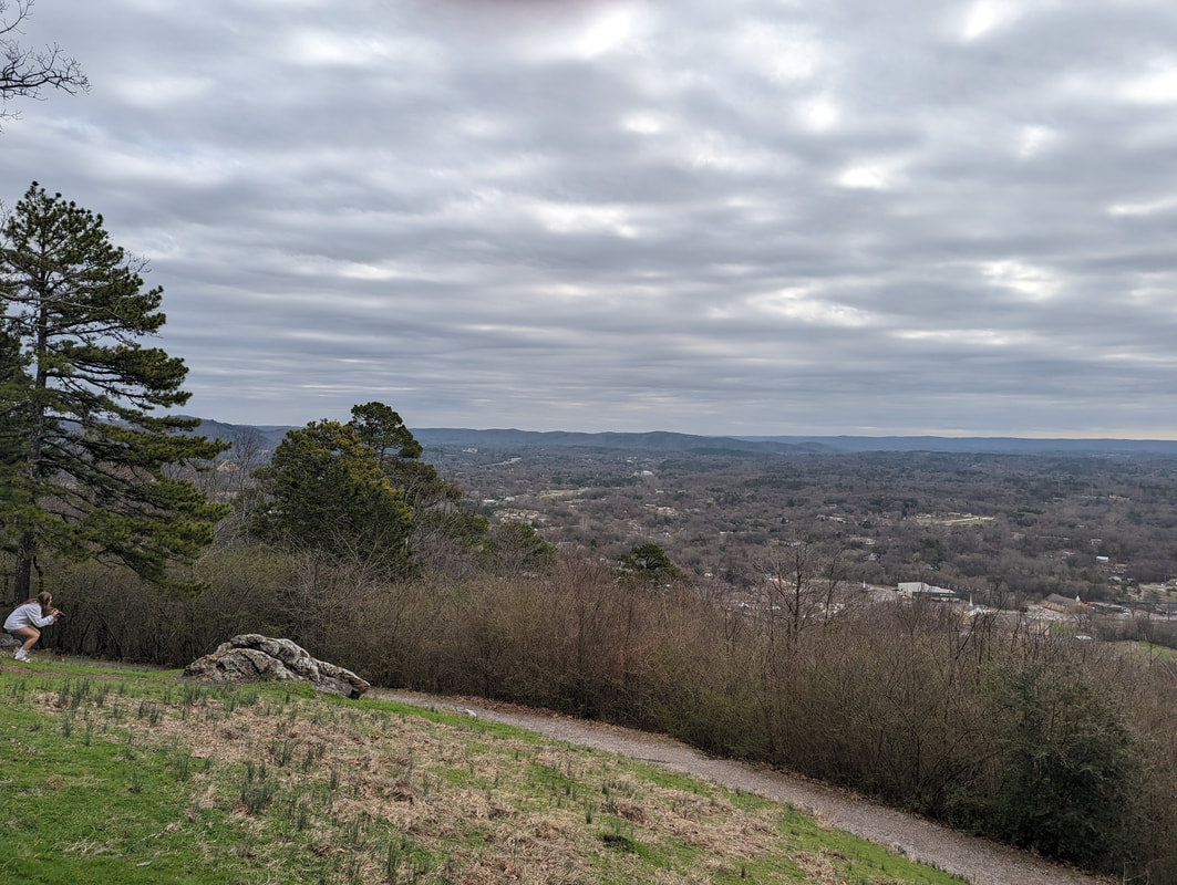
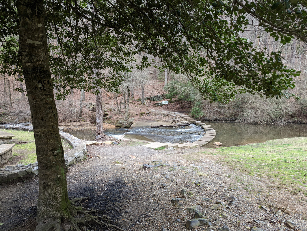
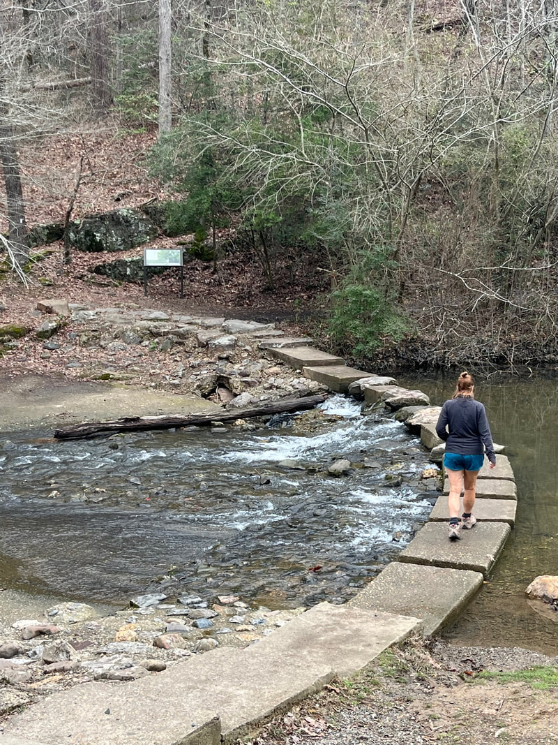
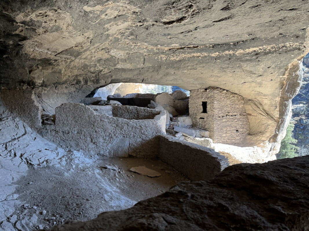
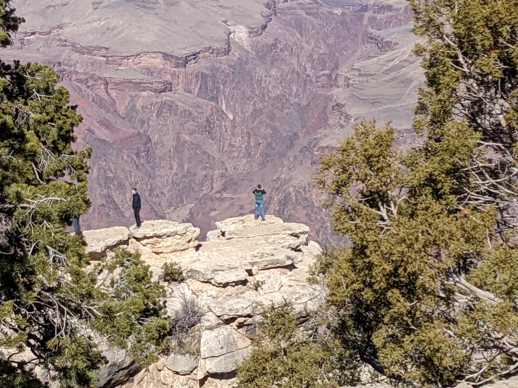
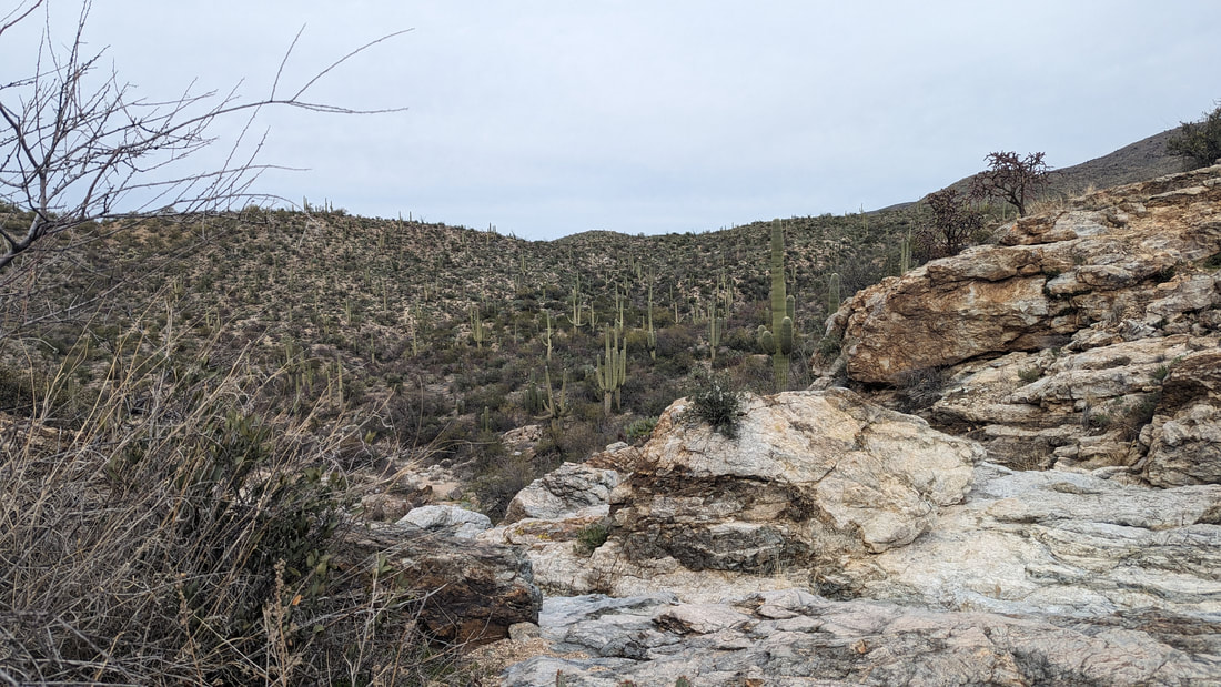
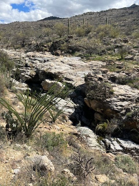
Bridal Wreath Falls had water. The view here was amazing. 
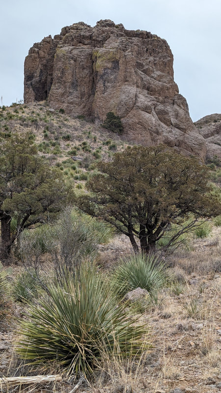
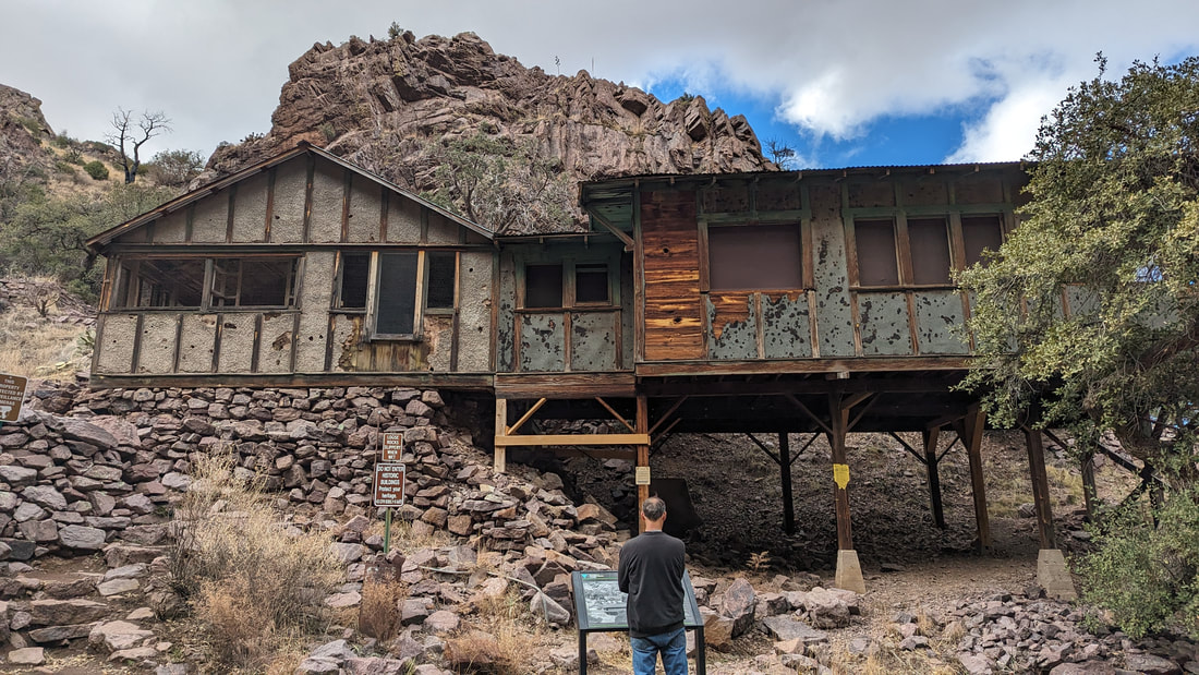
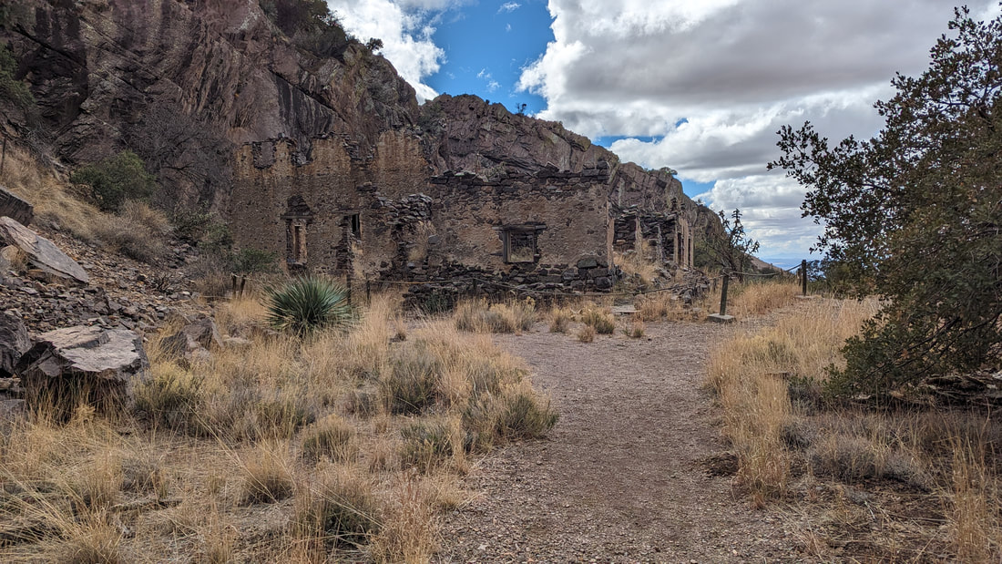
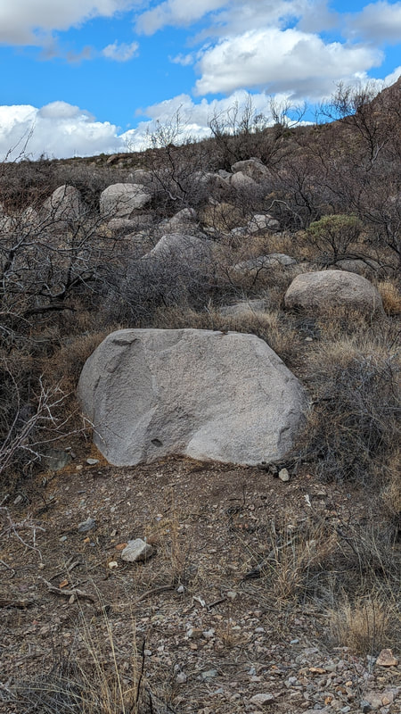
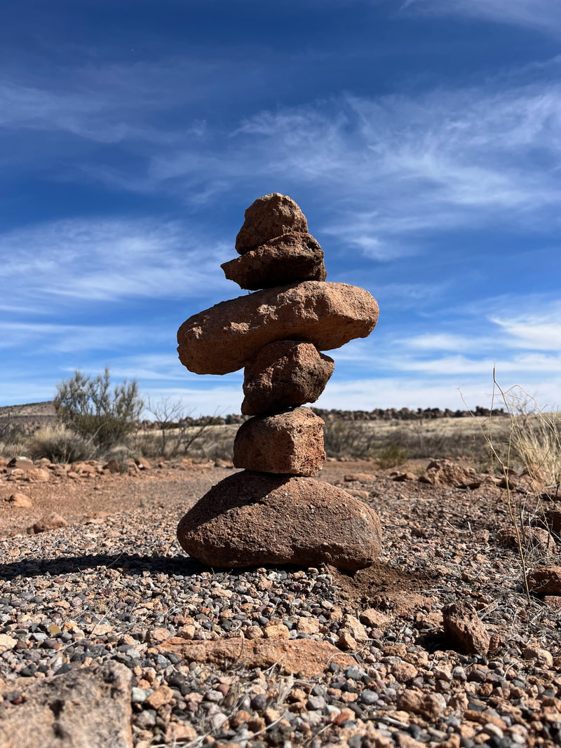
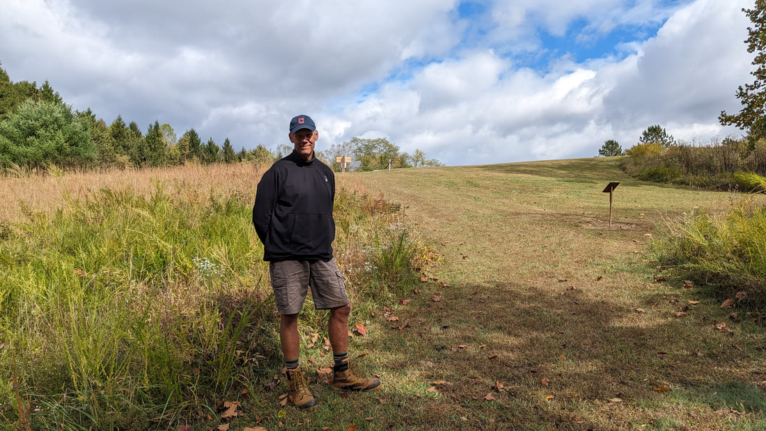
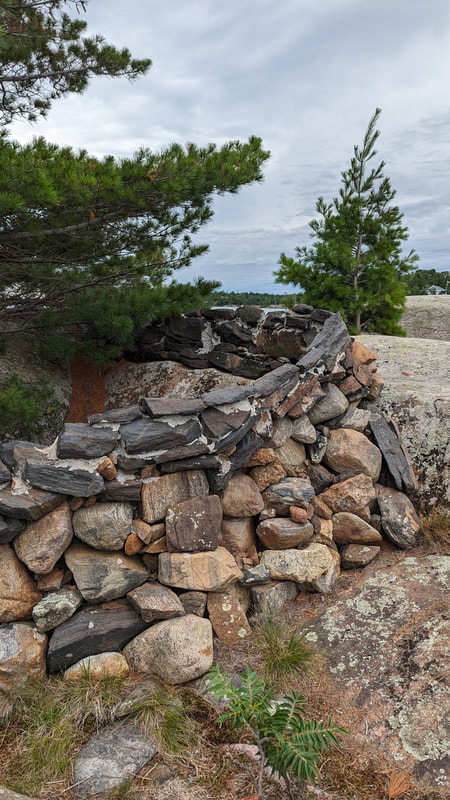
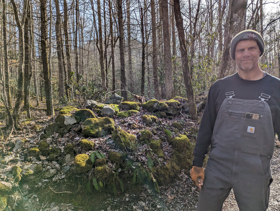
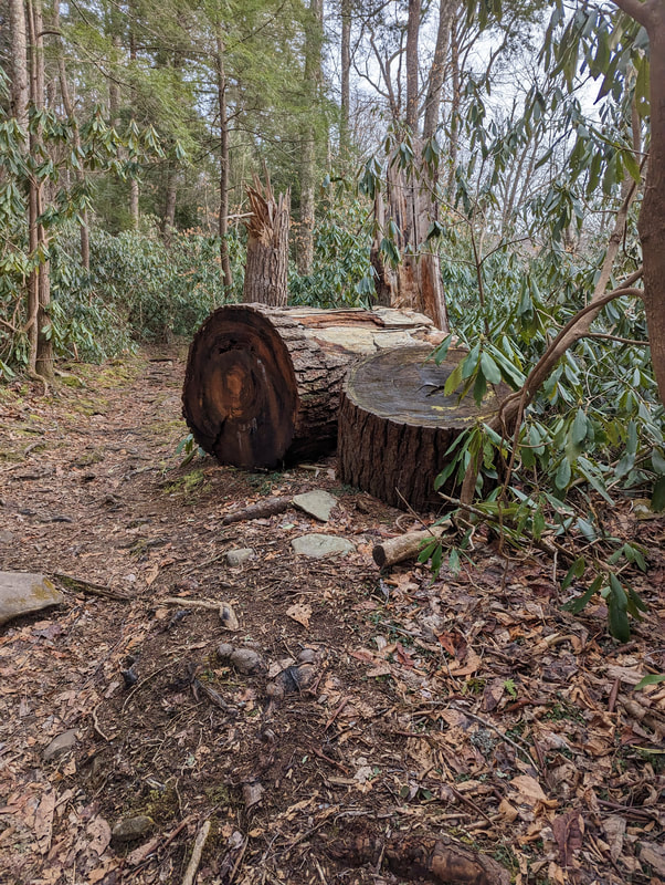
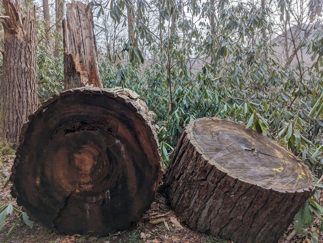
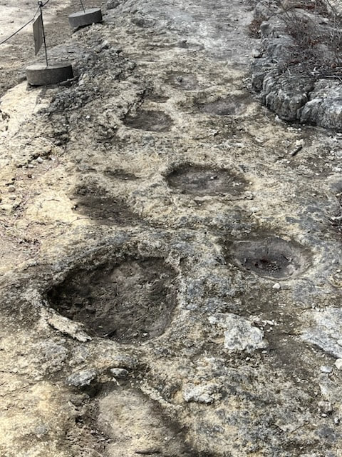
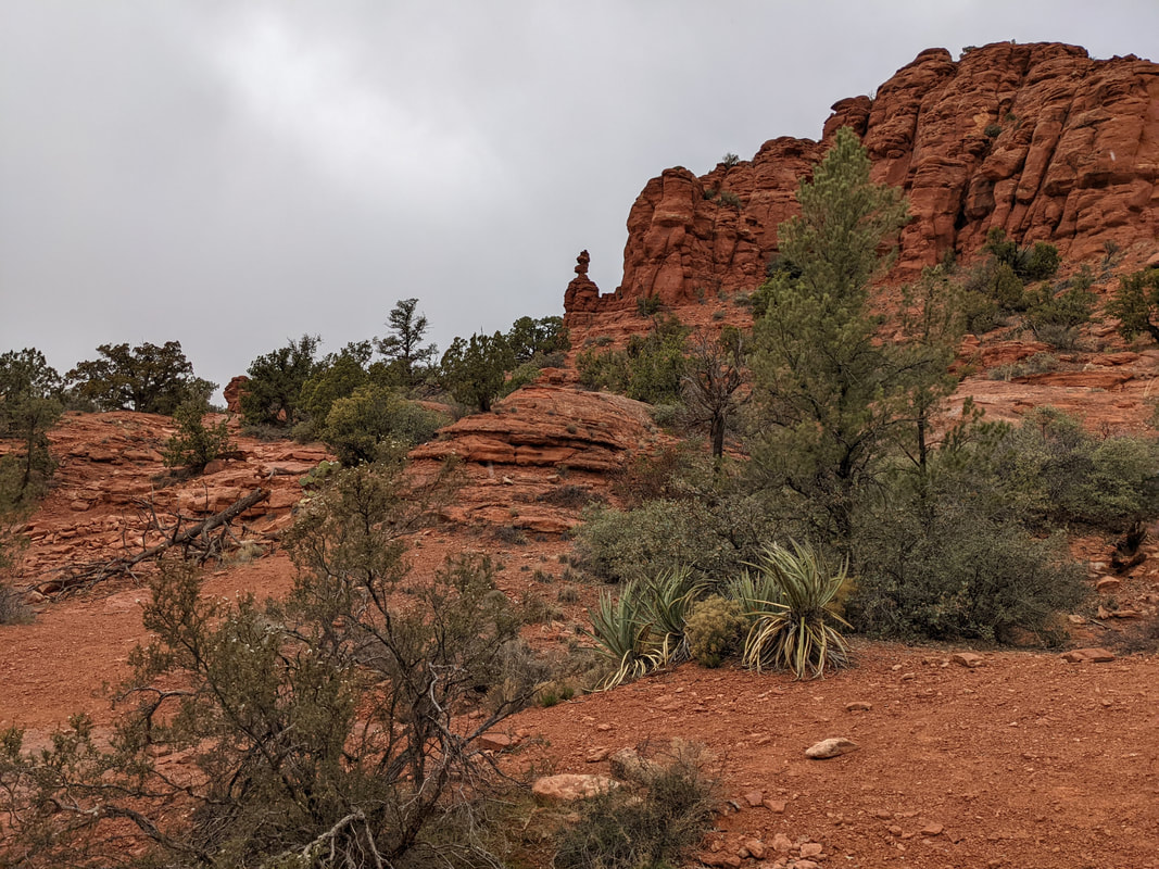
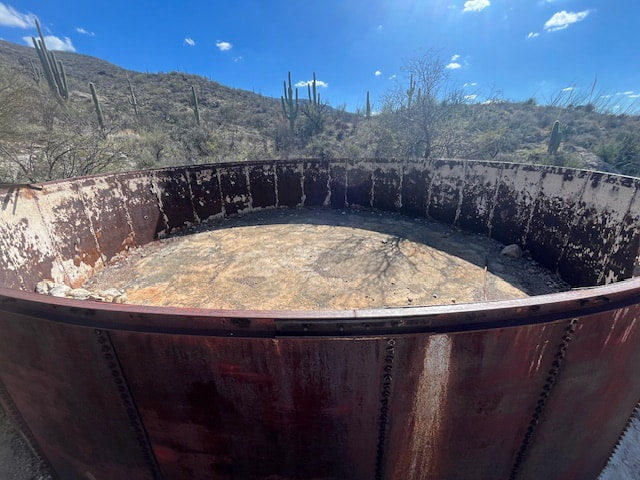
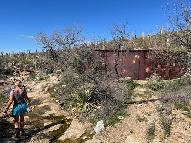
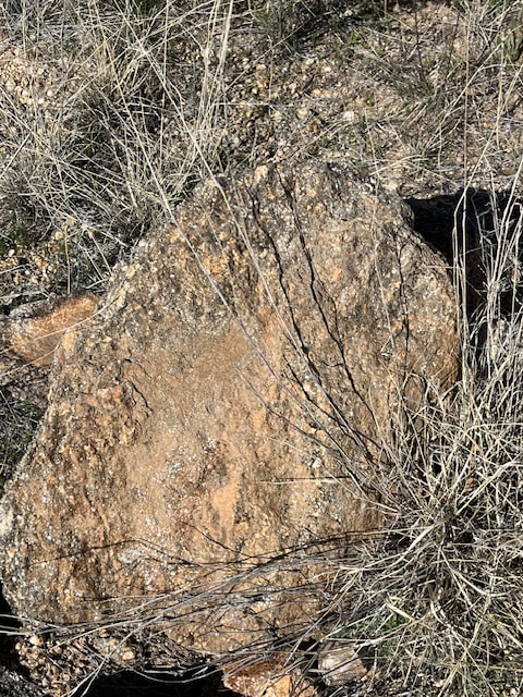
Three tank trail is named for the water tanks along the path that used to water cattle.  There was one large one made out of metal still standing. Hideous, but for some reason Scott thought it was cool and took pictures.
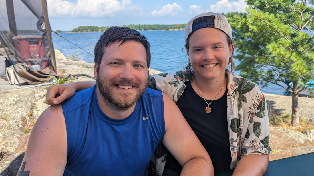
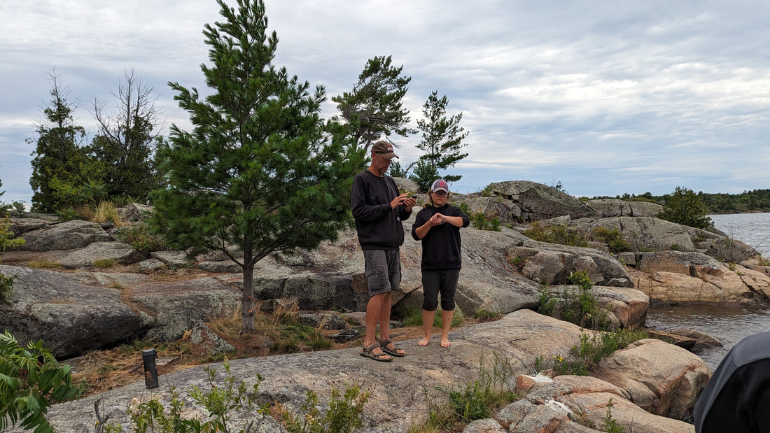
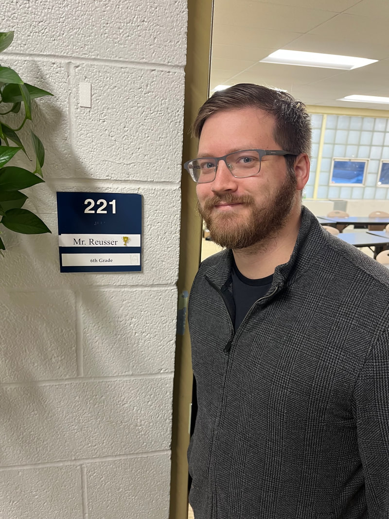
Today was our son Thomas's 27th birthday, and we got to talk to him on the hike. We were in the seeming wilderness but still got good reception.

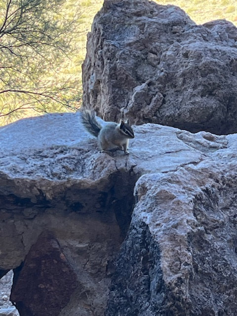
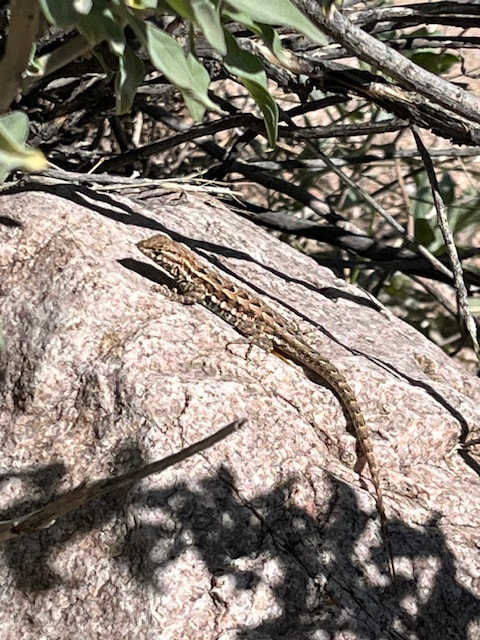
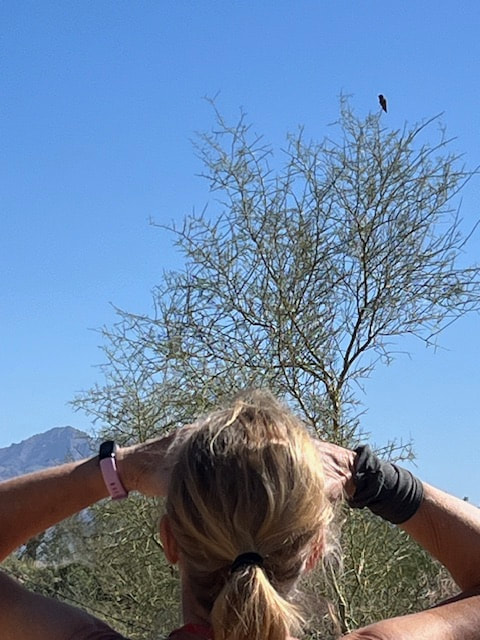
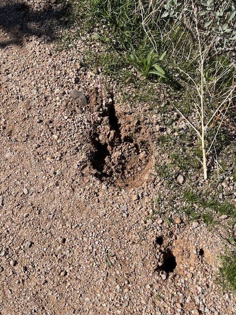
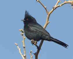
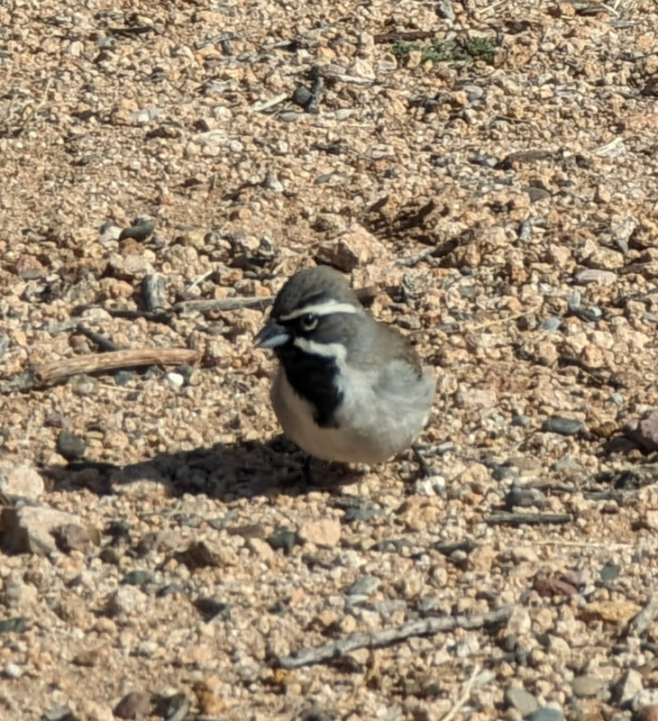
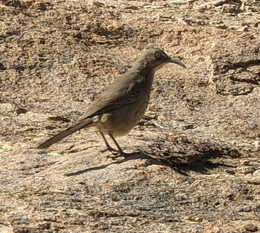
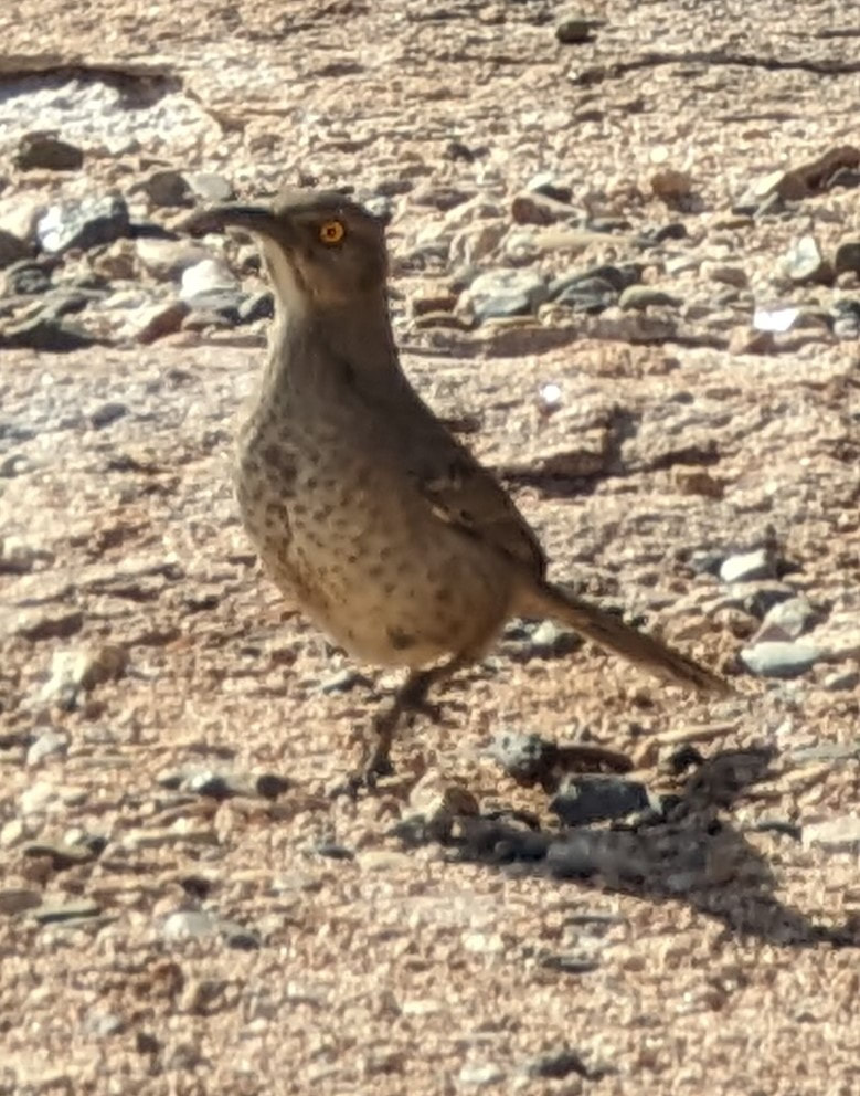
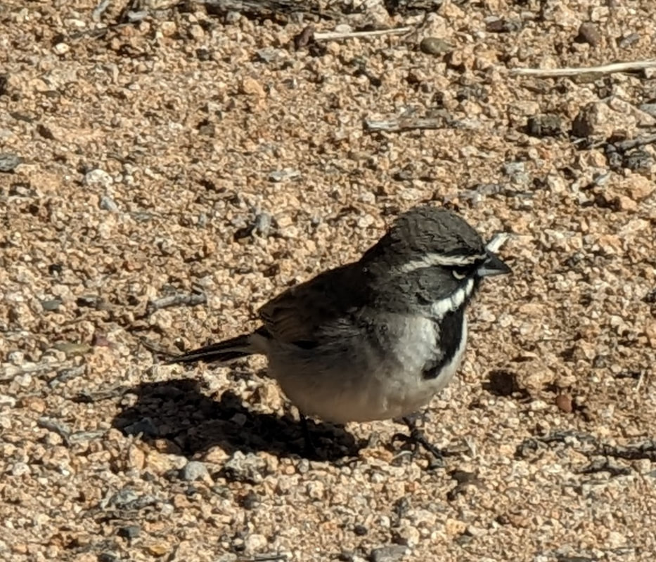
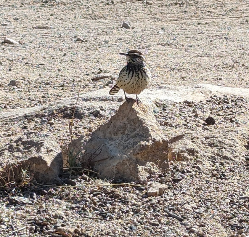
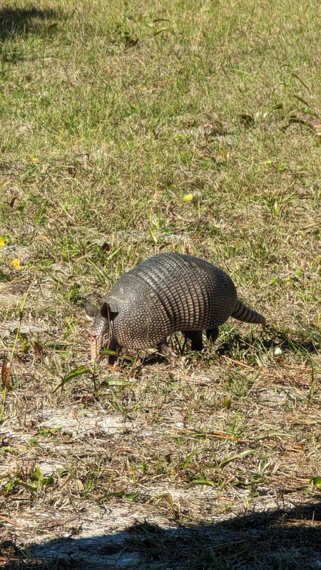
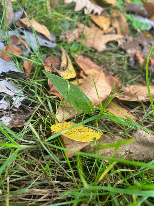
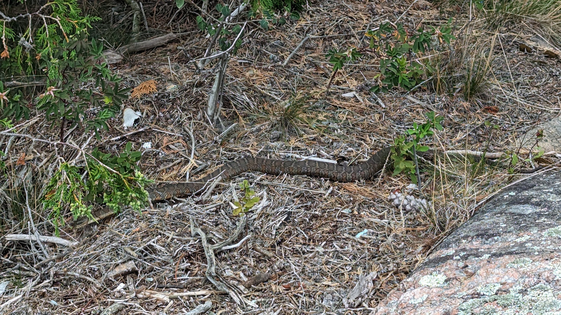
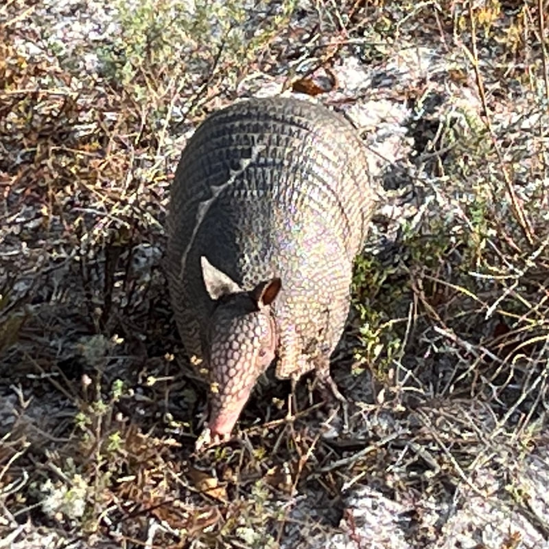
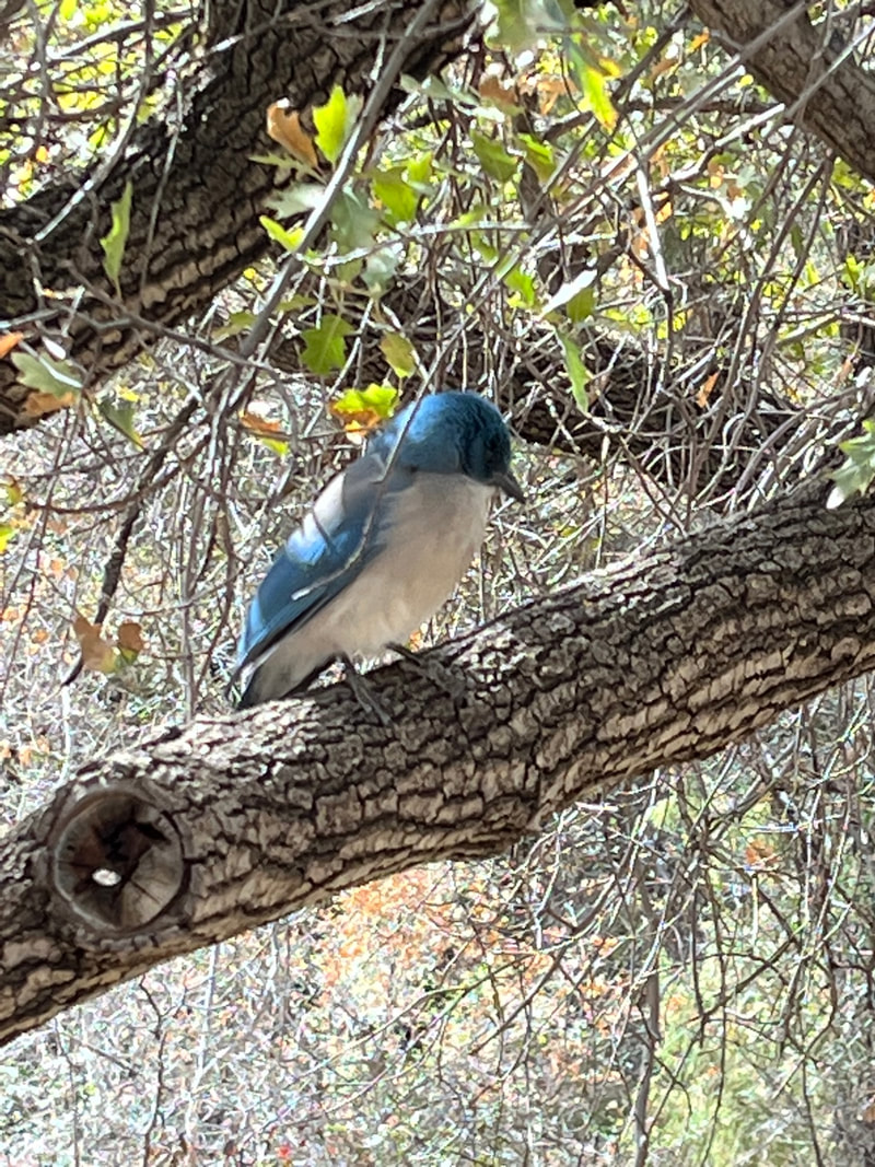
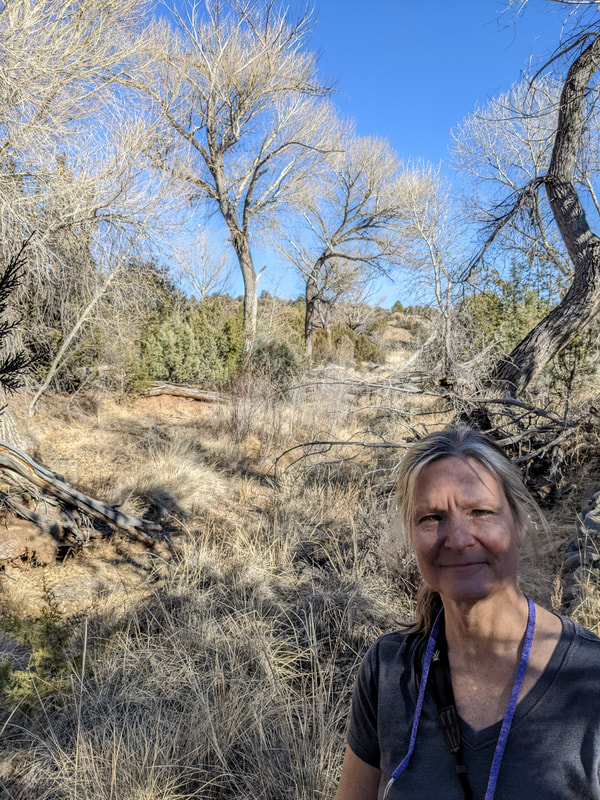
Very little wildlife was visible. I saw two phainopeplas as we started walking, and another hiker pointed out a squirrel on the rocks beneath Bridal Falls. Other than insects, that was it!

​We came home and went straight to the hot tub. The water wasn't turned back on until 4 pm, so it was a good day to be away.
Picture
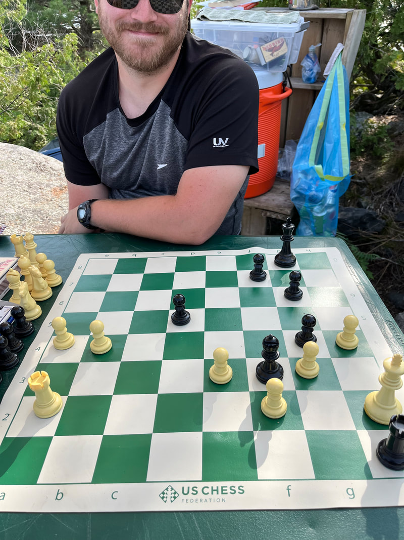
In the evening, we did our typical routine: Scott watched a movie with Thomas while I did dishes from breakfast and made dinner. When Thomas went to bed, Scott and I had a drink and played cards. Then we went to bed and watched a couple episodes of the Chosen before falling asleep.

Tucson, Day 3

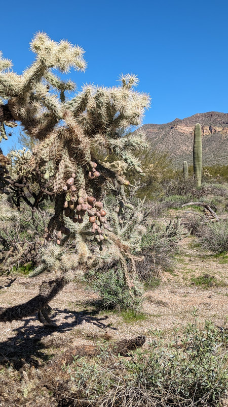
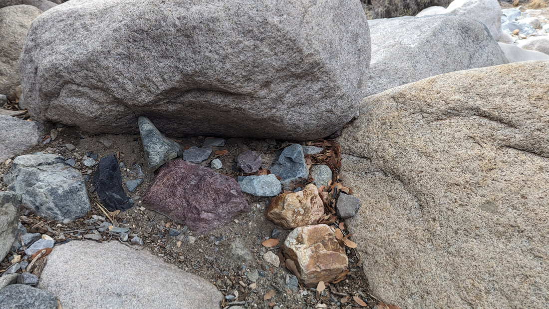
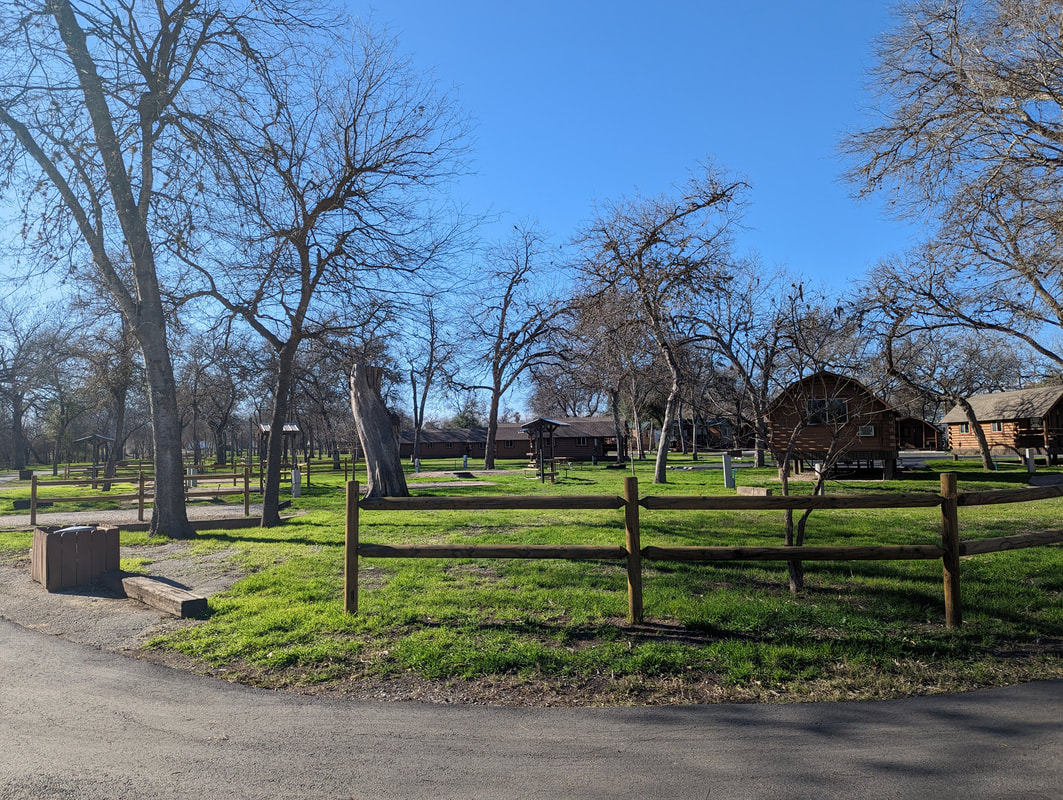
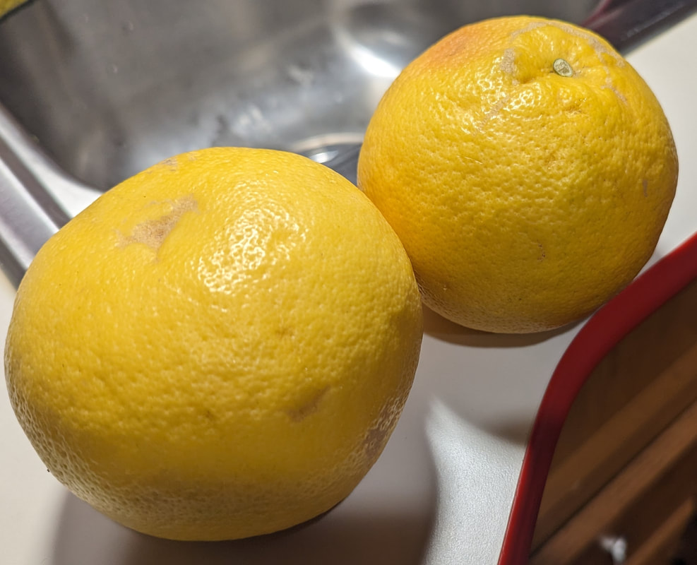
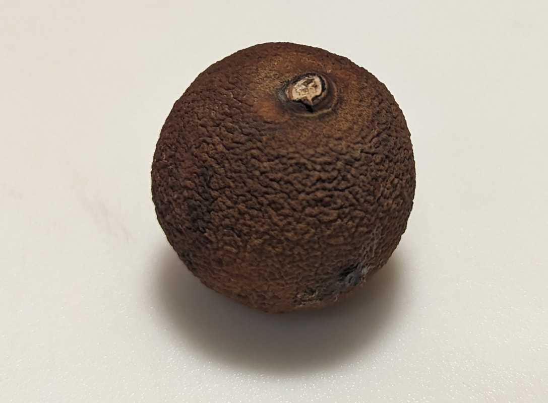
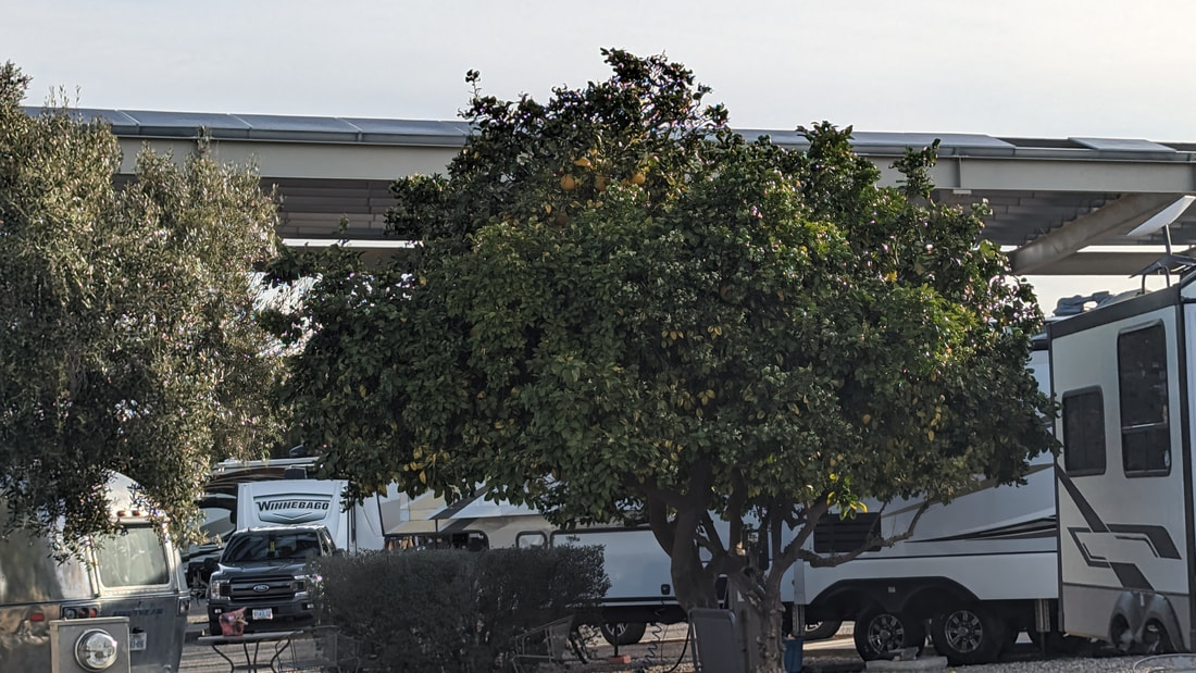
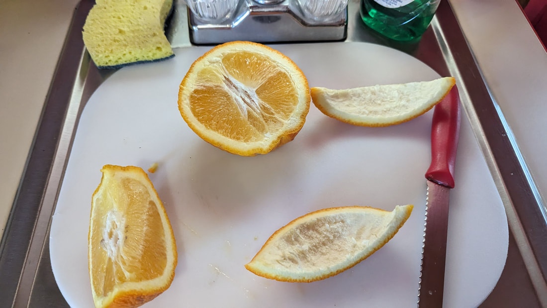
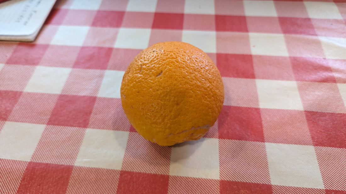
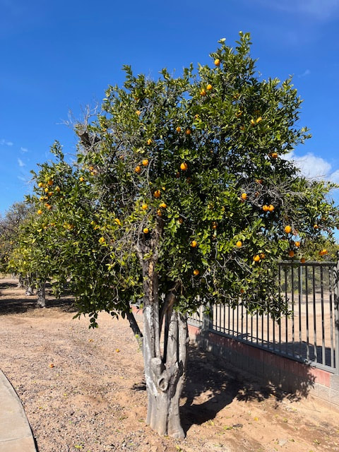
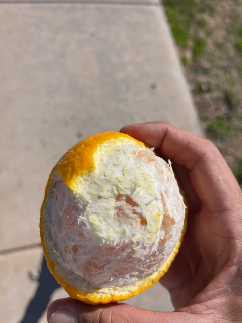
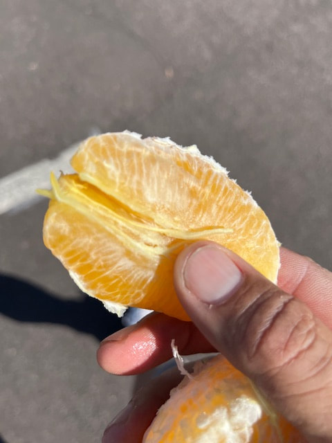
One awesome feature of this KOA is that there are citrus trees all over the campground. The fruit seems to be ripe now. Every day, I see mounds of fruit on some campsites' tables, and the KOA puts some in baskets at registration that anyone can take. I picked up two grapefruit from the registration building and an orange. Both were delicious, though not as sweet as at home. We have a tree at our site, but it's not doing too well. I hope it will be okay, but the few fruits on it are all dark, shriveled, and hard as a hockey puck. 
Grapefruits?
Shrunken something
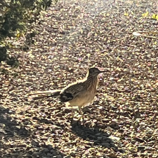
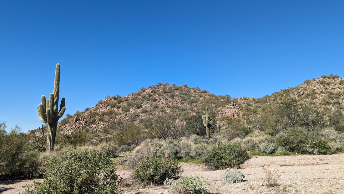
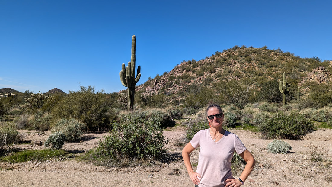
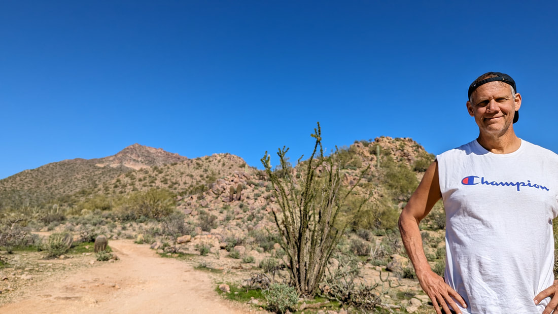
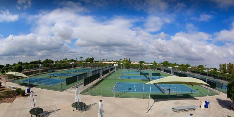
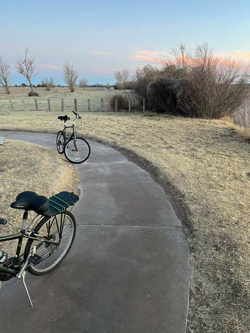
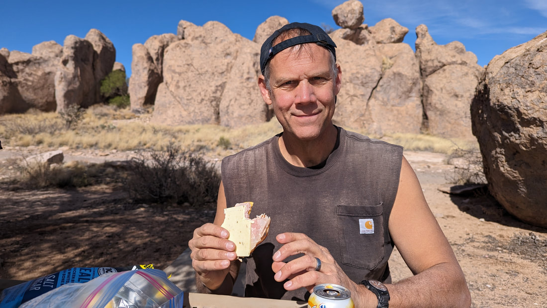
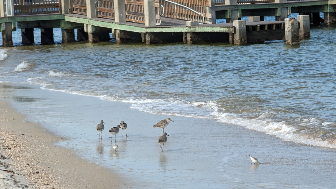
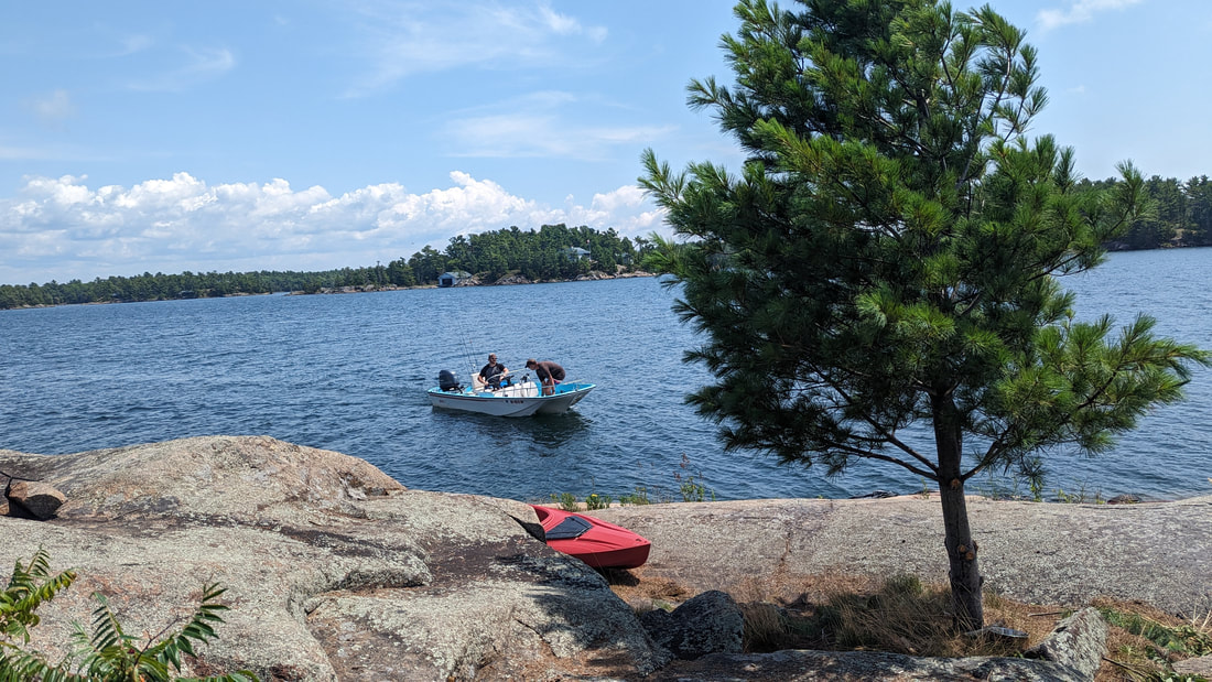
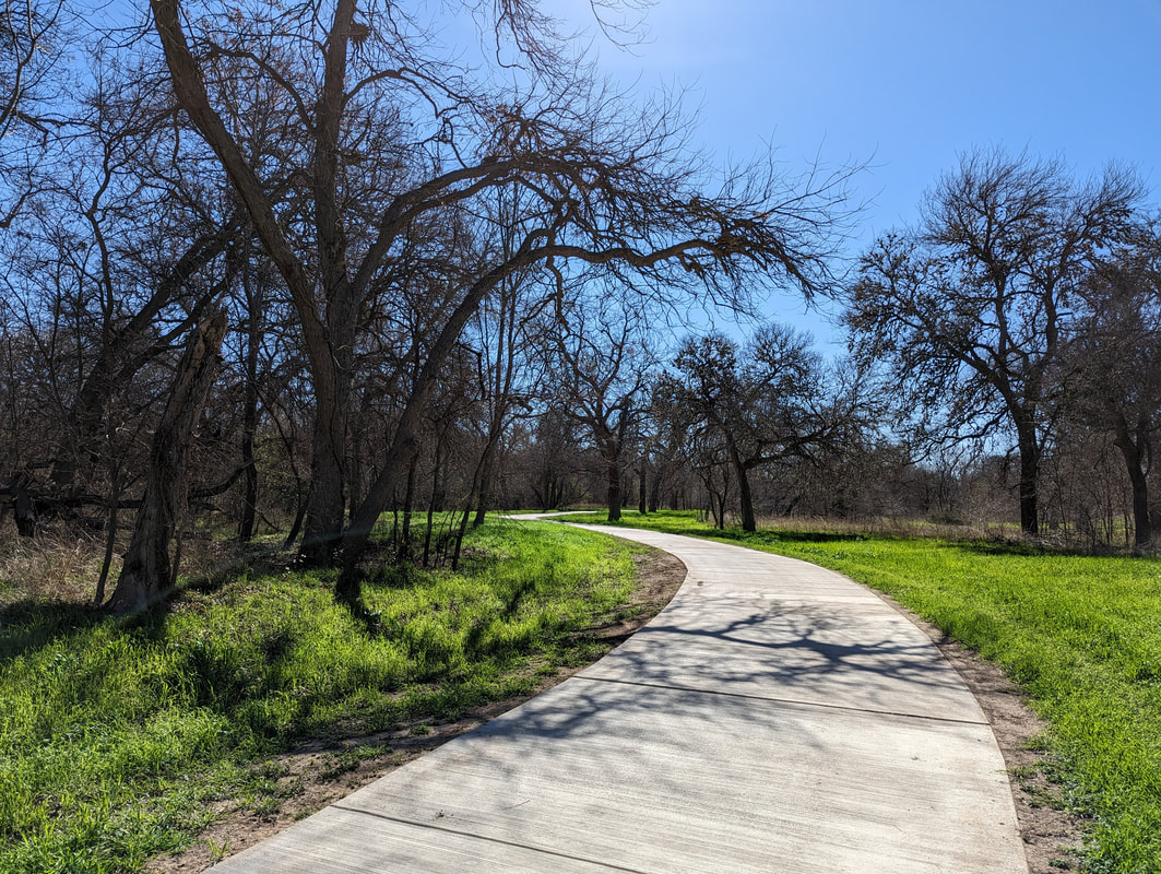
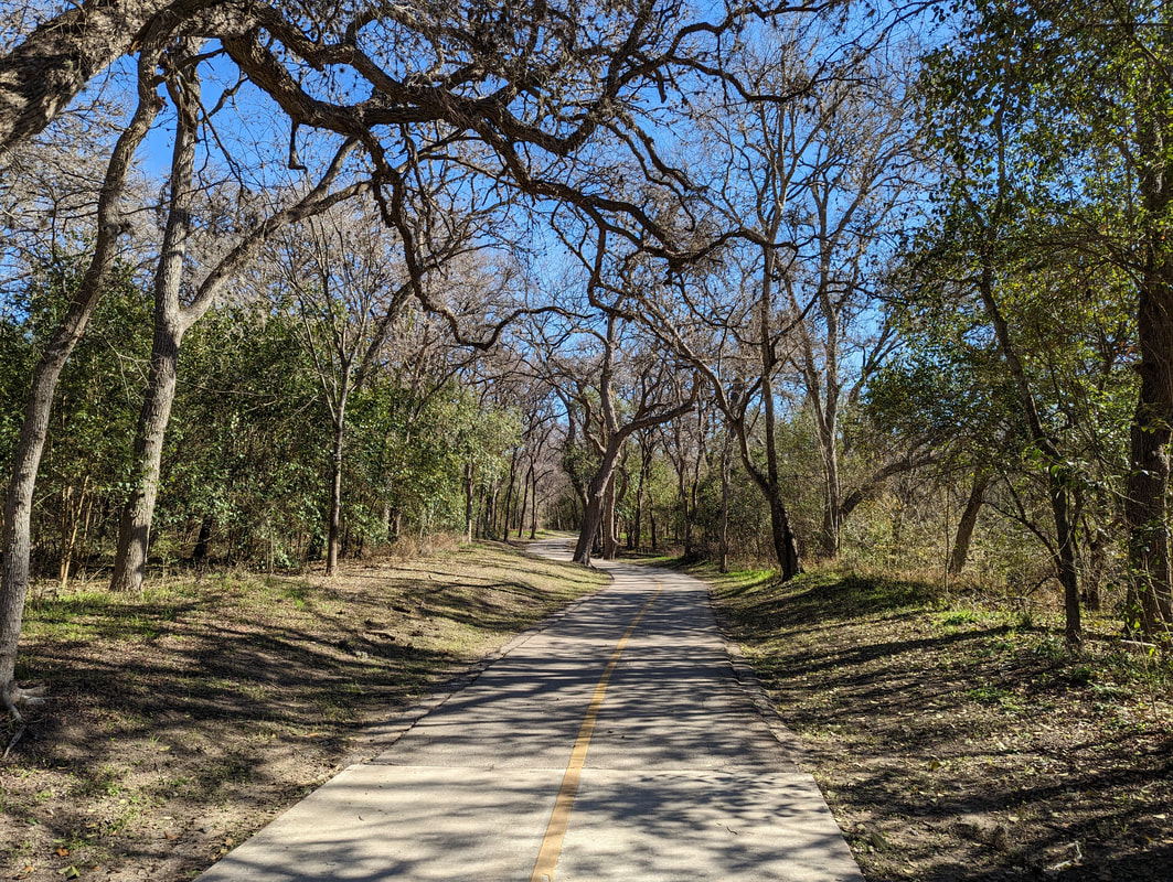
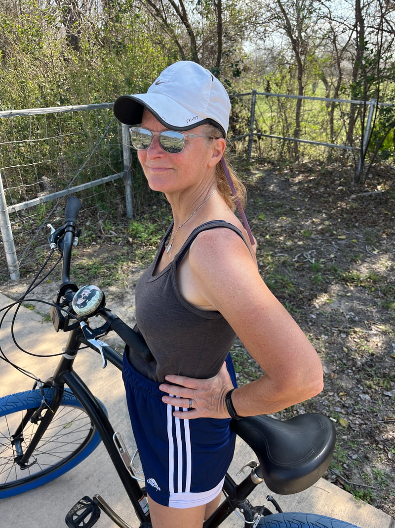
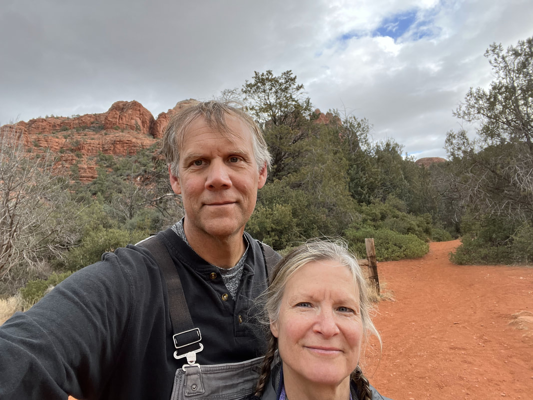
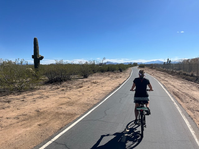
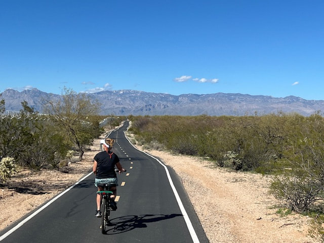
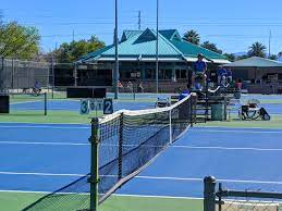
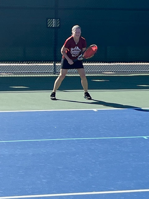
We had another great day. We had coffee, exercised, and lazed about until 11:30. Then we headed out to Reffkin Tennis Center, another local tennis facility. It was also amazing! It cost $2.50 to play. There are 17 tennis courts, some pickleball courts, a wall, and I saw several ball machines and one guy using a ball machine. You don't have to be a member. Wow. We played for an hour and a half. It was fun. Then we drove to a bike trail and rode for an hour and a half. The trail was very nice. It's paved, wide, and it goes through some pretty landscape. The last third we rode was along a major street, and it was very hilly, so I didn't like that very much. The other part was all the usual desert plants, plus a roadrunner ran right across the path in front of us! Going north, one's view is mountains. Pretty nice.
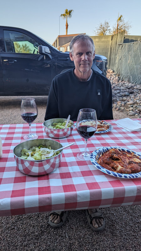
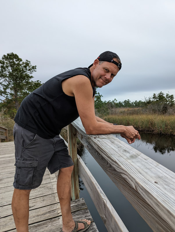
Then we came home and had a hot tub! After that, we took showers and made dinner: meatballs again! Time for an evening walk around the campground and then cards.

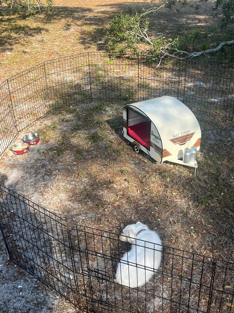
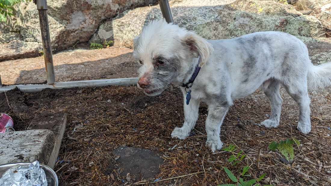
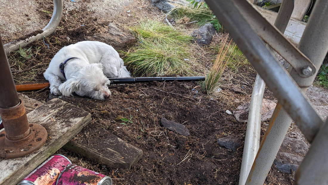
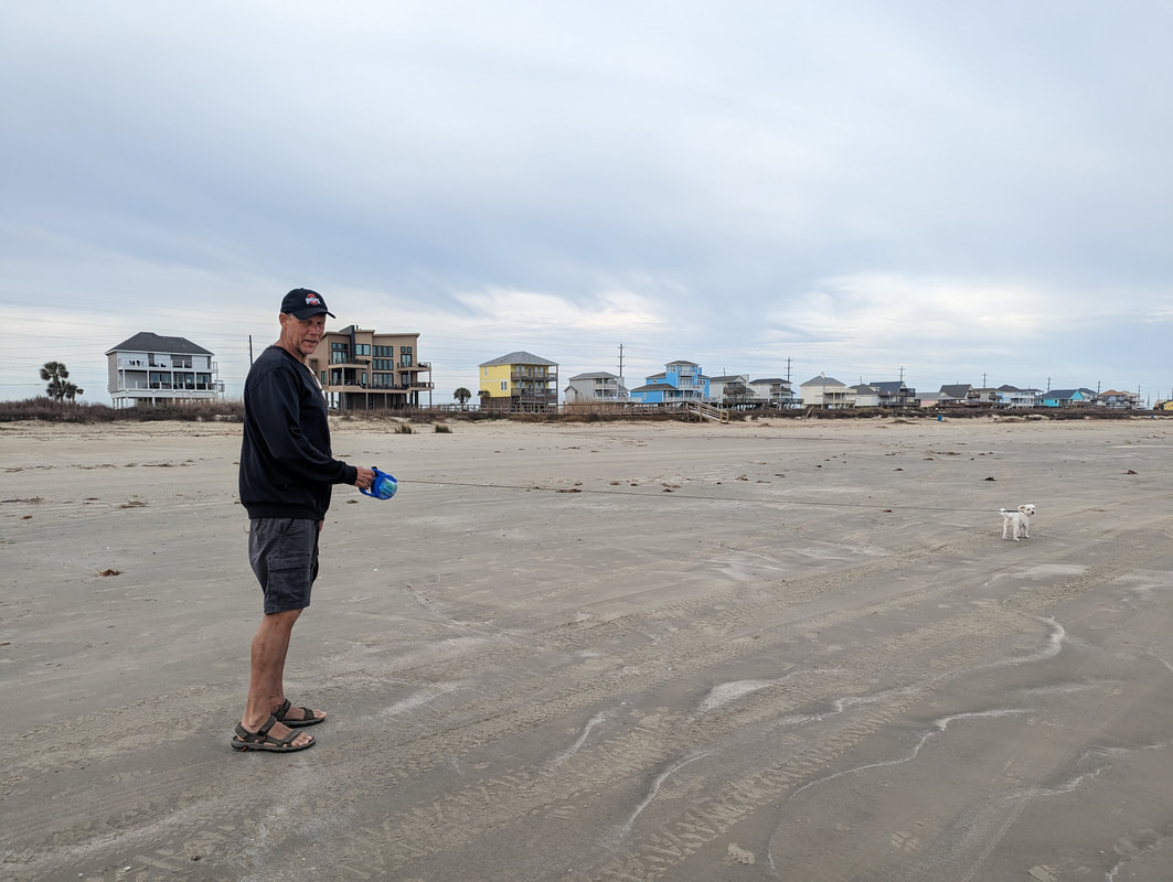
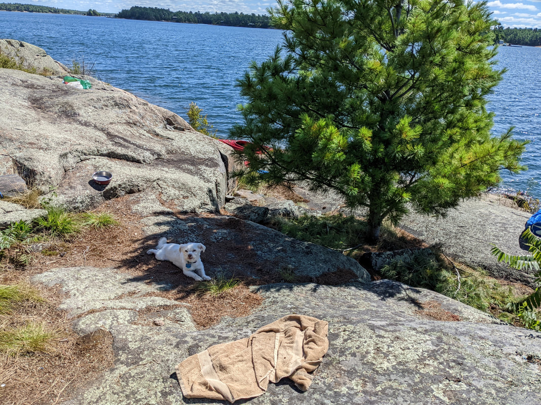
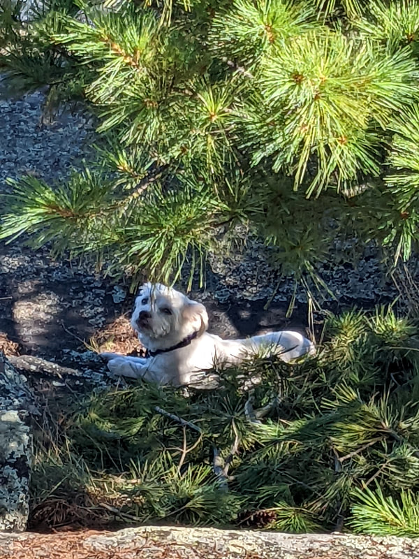
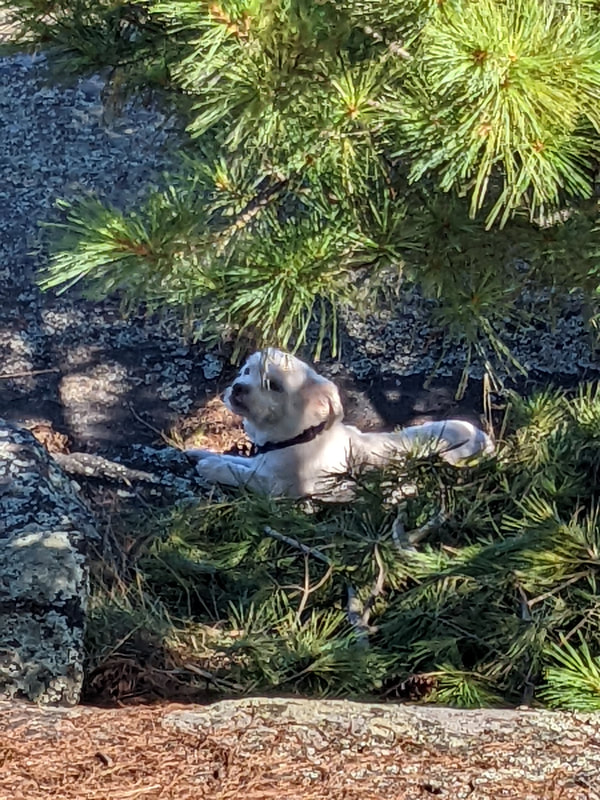
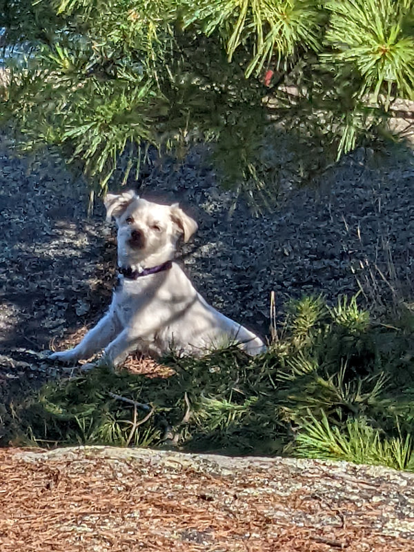
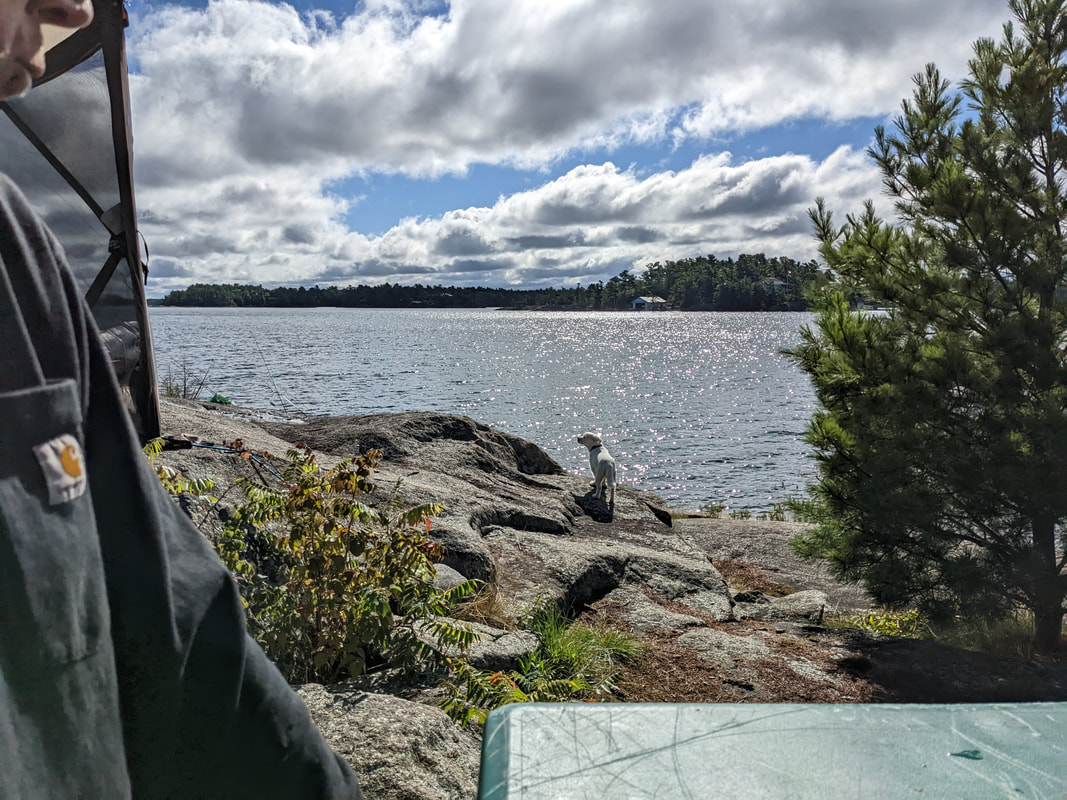
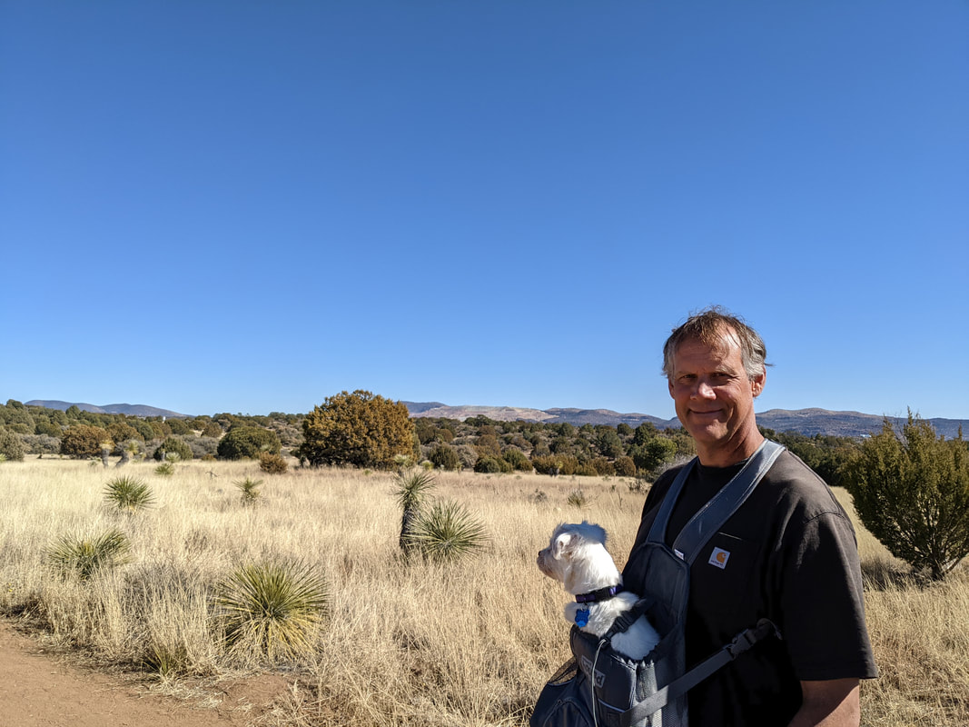
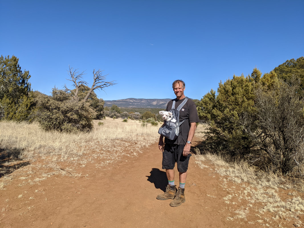
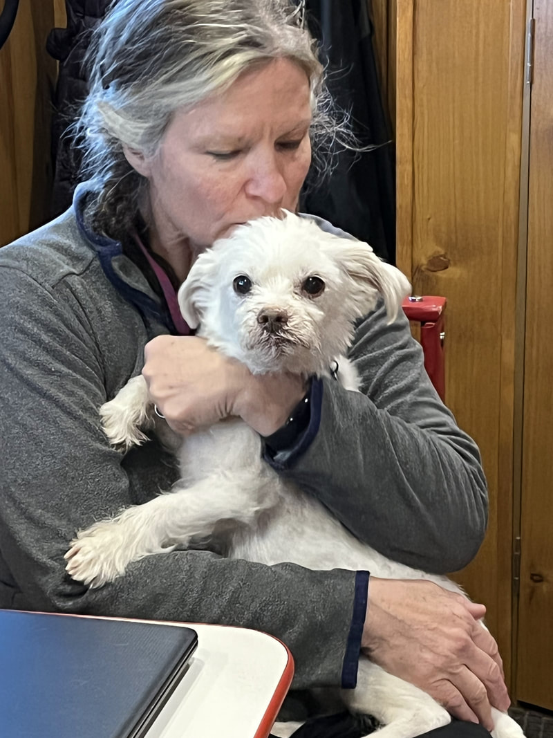
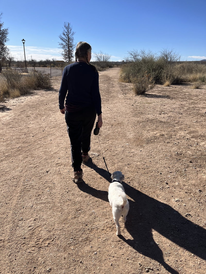
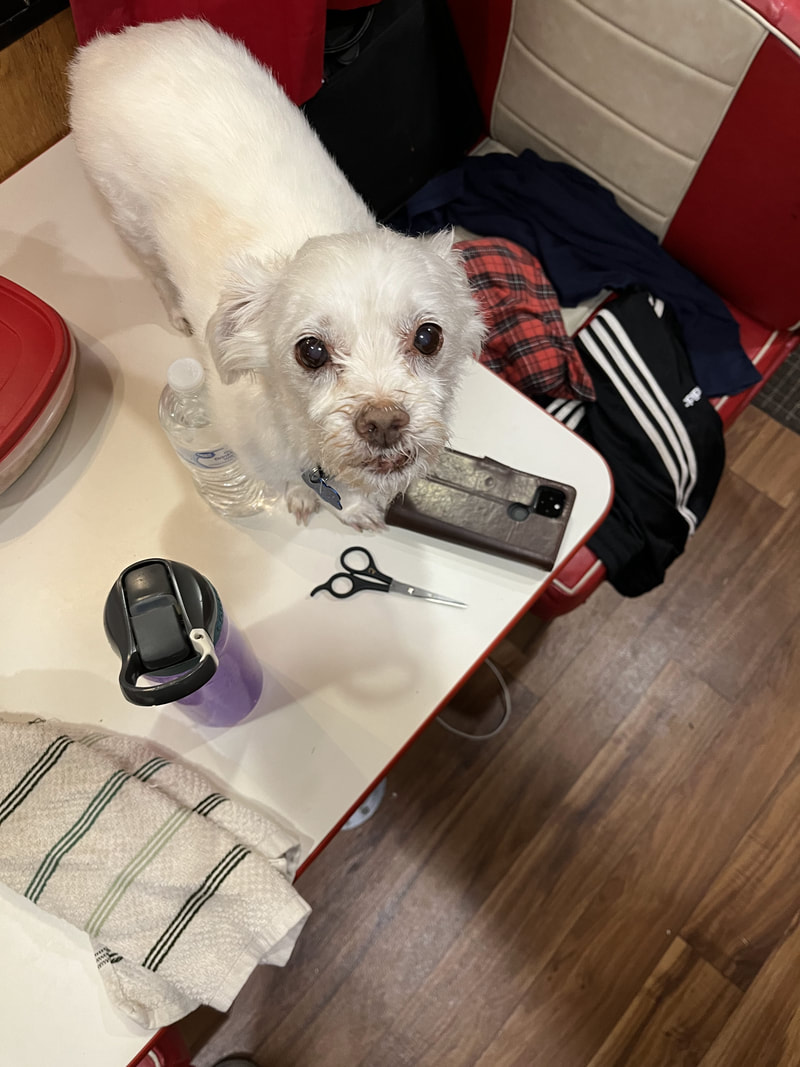
By the way, why no photos or news of the the White Ingrate? We didn't bring him! My friend Ruth is watching him. This trip has been a LOT more pleasant without him. I am a little sad when I see other people walking nice and pretty dogs, but the White Ingrate was not fun, so traveling without him is, in the end, much better.
Picture

Tucson, Day 2

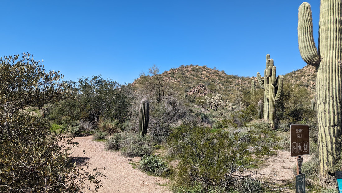
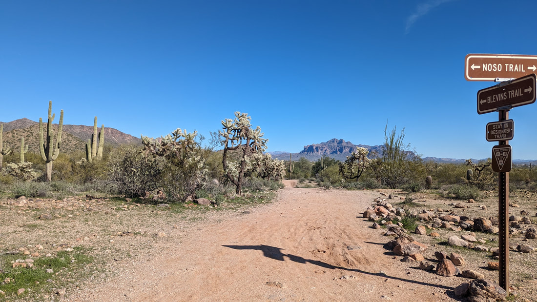
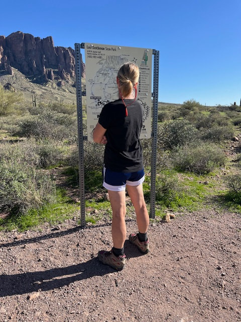
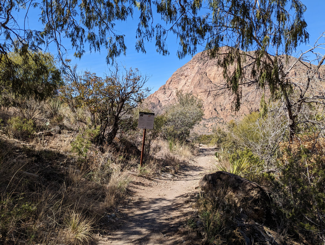
Today was a good day. We had coffee, Scott had breakfast, and then we exercised. Then, we headed out about noon for a trail in the Saguaro National Forest.  We were intending to do Bridal Wreath Falls. We used AllTrails to navigate. Oh jeez. We got to a dirt road that forked; one way led through gates and there was a sign saying "this ain't the way to Bridal Wreath Falls." The other was a narrow dirt road. I said, no thanks, let's find the actual entrance to this place.

So we googled it. Google maps said 20 minutes. We started and went down a road for a mile or so and hit "road closed" signs. The road looked washed out. We turned around and went another way. Finally, we got to the entrance. It was swarming. There was no available parking at the visitors' center, but a ranger at the entrance gave us a map and suggested other places to park, so we had what we needed.

The park has an 8-mile loop road, along which there are a few trail heads. There are many trails in this part of the park (there's an eastern area and a western area; this is the eastern), and it would be a long hike to get to most of  them. I guess that's why AllTrails shows you how to get to them by parking along city streets, which out here means remote, narrow, and possibly washed-out dirt roads.

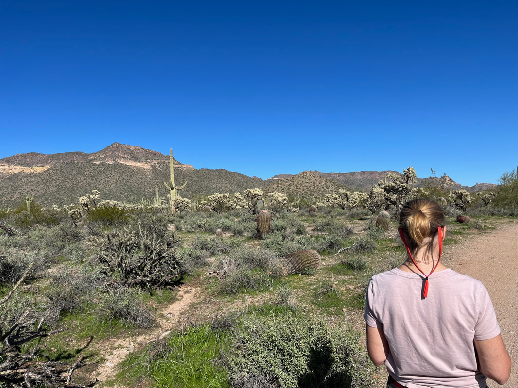
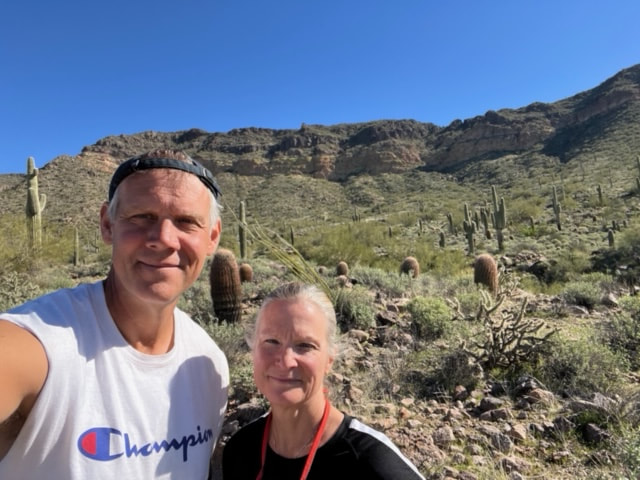
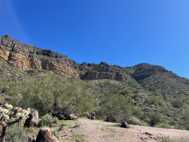
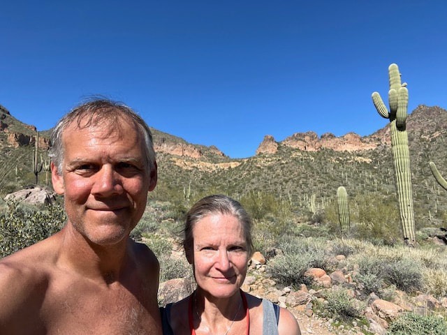
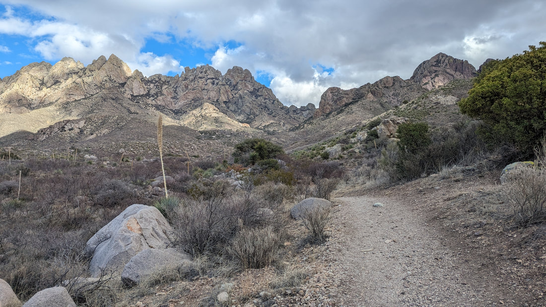
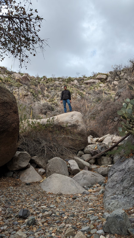
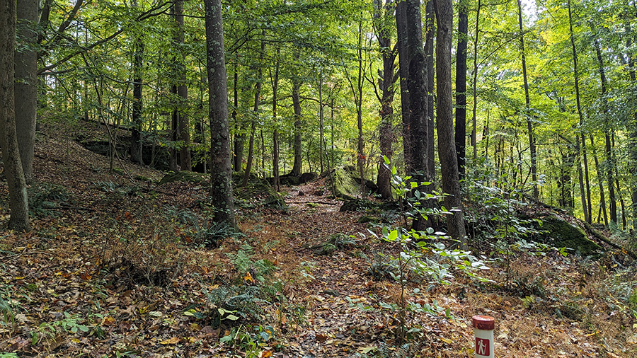
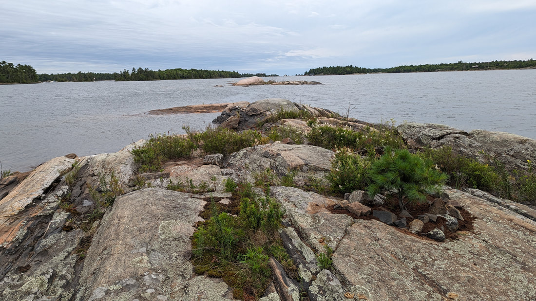
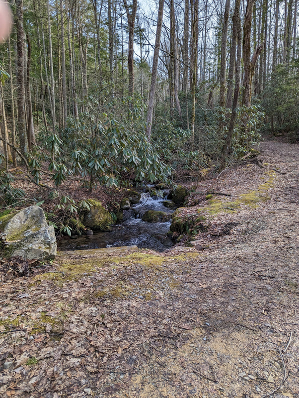
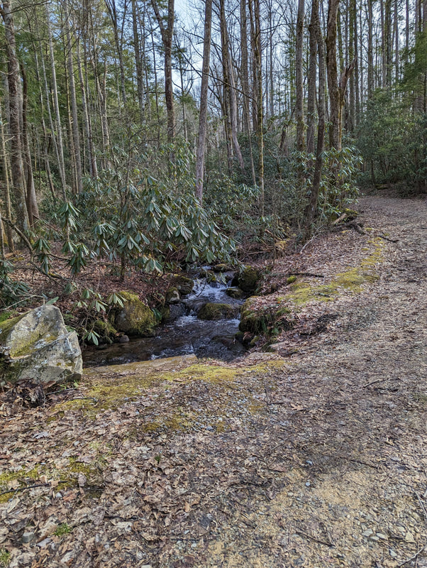
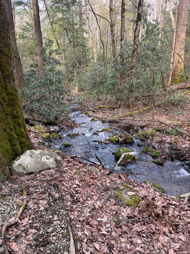
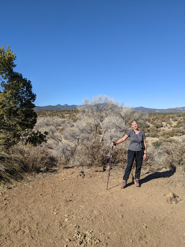
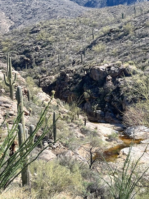
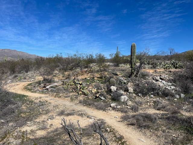
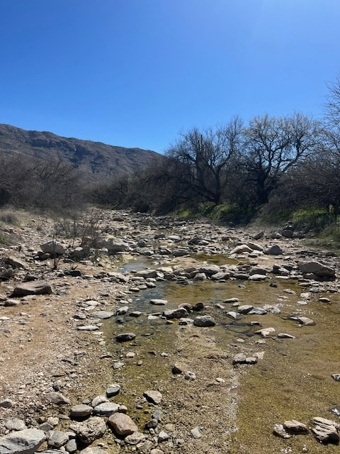
Anywho, we parked at the Loma Verde trail head, got on that trail but quickly switched to Squeeze Pen, and then got onto the Carrillo Trail. It was a fabulous trail, and the day was beautiful, sunny and warm. It was probably mid-70s at least; in fact, I got a little hot. Scott carried plenty of water for us, still, I got so tired. There was a fair bit of climbing; maybe that was it. On this trail, we crossed a stream with running water! Maybe coming from Bridal Wreath Falls? We are planning on going on this trail again and making it to the falls so we'll find out. We hiked for 3 hours, probably about 7 miles.
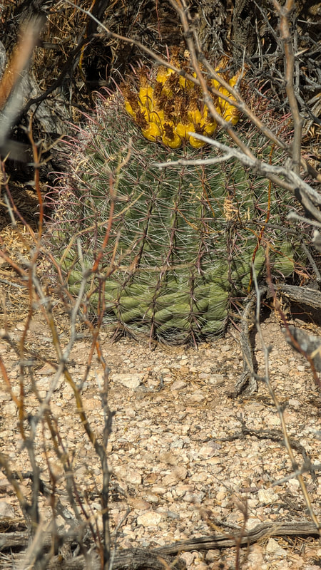
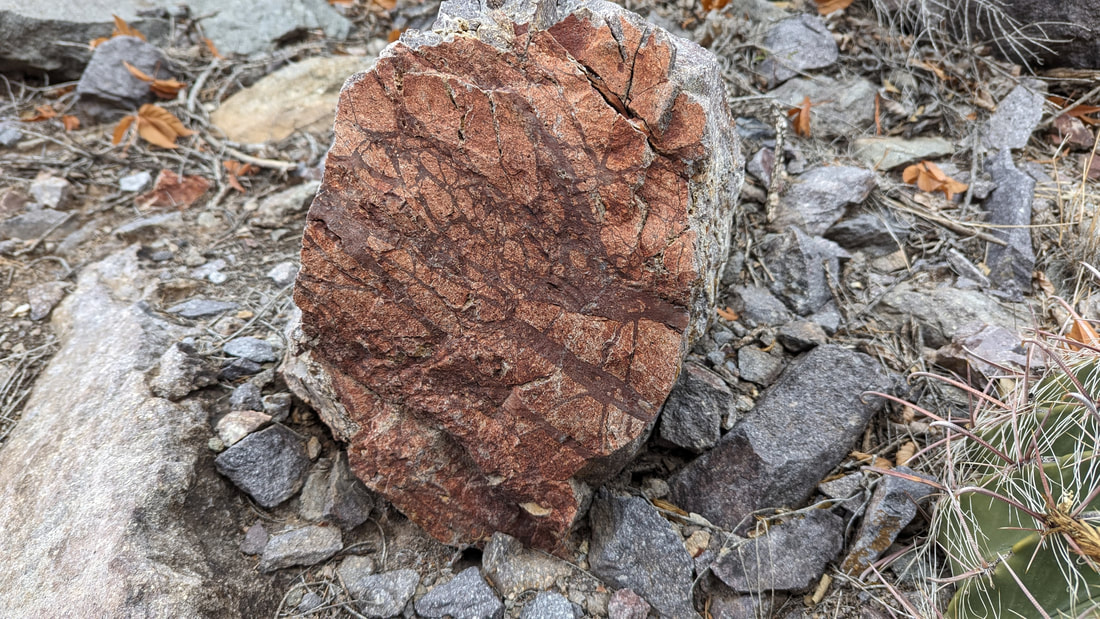
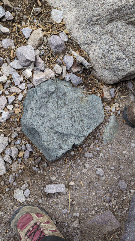
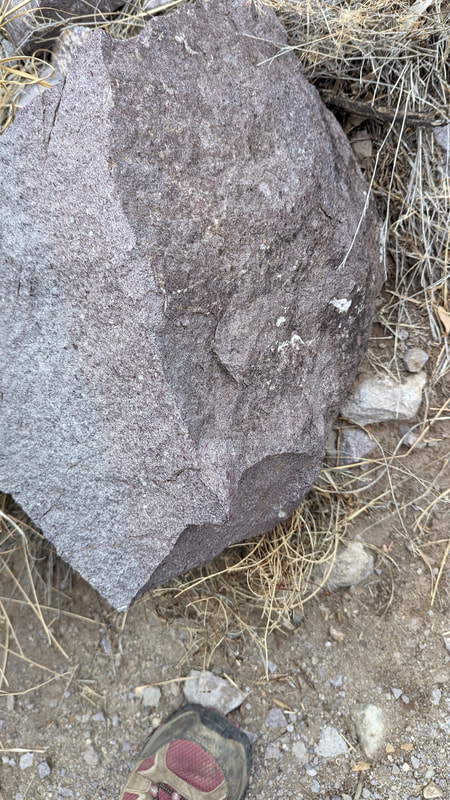
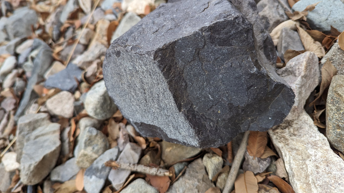
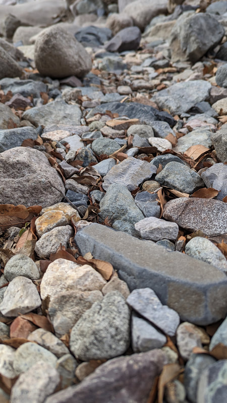
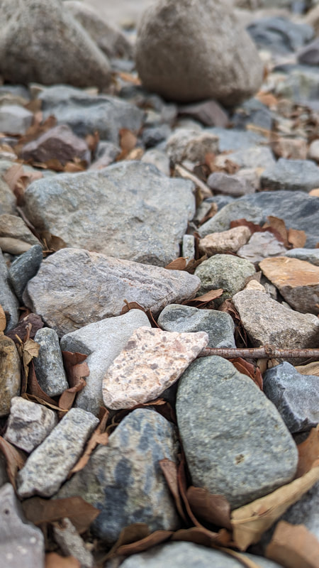
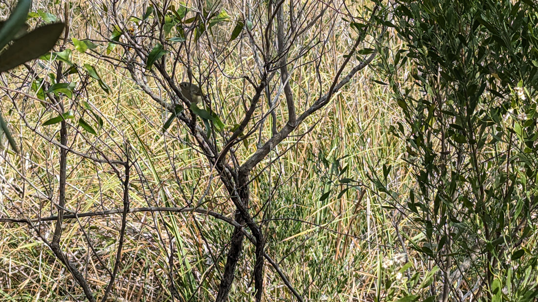
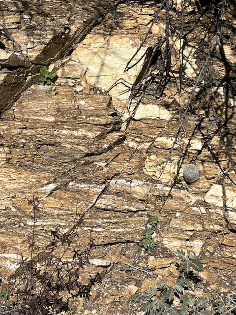
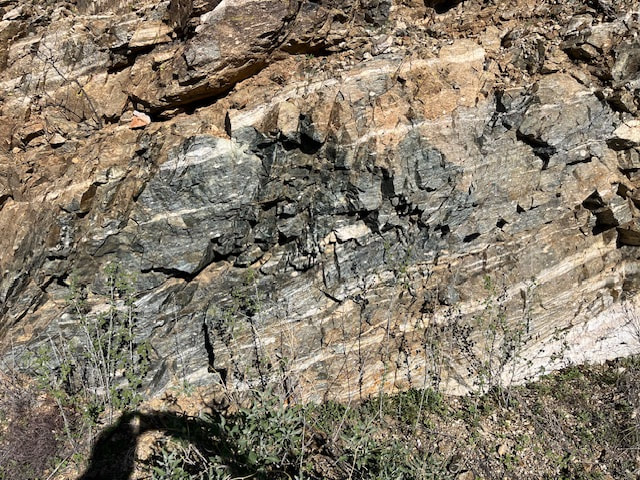
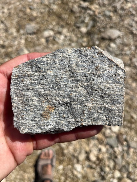
There were cool rocks, beautiful and varied plants, but very little wildlife. We saw a phainopepla again at the start of the trail, a sparrow, a small lizard, some tiny butterflies, and some insects.
Then we came home and made dinner. Scott had a webinar and I practiced. Then we relaxed.

Tucson, Day 1

So today was a day of chores and errands. We needed groceries. The hotspot died last night, so I needed a new one. The KOA's wifi is terrible. The propane firepit had an accident so to fix it, Scott disassembled the electronic ignition, and to bypass it and reattach the propane tank, he needed to find a particular propane fitting.

Oh, but before heading out, we hopped on our bikes to check out the hot tub.  Occupied, but by just one man, so we went in. We stayed about 30 minutes. It was awesome.

So then we started our chores. First, we went hunting for the propane fix. We went to one RV store, then to Camping World, then to a hose and fitting store, where the super helpful guy made Scott a new hose and assembly. Then we headed to BestBuy for a new hotspot. I waited a loooong time for help (they were short staffed). After I got the hotspot, we got lunch. Then we went shopping at Walmart.

Back at the site, I realized that the hot spot was the wrong thing as soon as I read the packaging. It only works on its service; doesn't work on ATT. While I was still trying to set it up just to make sure (I never got it to even connect to anything), Scott was attaching the hose to the propane tank. But something was going wrong and it took him a while to figure out. He got it working, and then we headed out to the ATT store, which happened to be near the BestBuy. The rep was super nice but ATT is so screwed up. He said he couldn't really help and that I should go to BestBuy. OMG. I pressed him to give me other options through ATT, and they were just plain astronomical. You have to buy the device—okay, not a problem—then you have to pay for service. A lot. And you have to keep paying for the service all year; you can't just use it when you need it. So I said no thanks.

On my way out, I saw a Verizon store. I went over and in 15 minutes had a hotspot that I can use as often as I want. It's a prepaid plan. I buy the device ($80) and then a service plan. I chose 25 gigs for 30 days for $60. When I don't pay next month, the number is deactivated, but when I want to use it again (next December), I go back to Verizon, they give me a new number, and I prepay for service. Unbelievably easy and sensible. I don't know what ATT is thinking. Oh, and then I called and canceled the extra line I was using for the ATT hotspot. That felt good. Then I tried to return the wrong hotspot device to BestBuy and they took it! That felt amazing!

So in the end, it was a successful day. No hiking, no tennis (but I did talk to a man at BestBuy who recommended some courts to us), but at least these issues worked out in the end. We have wifi, we have fire, we have food.   
Picture
Picture
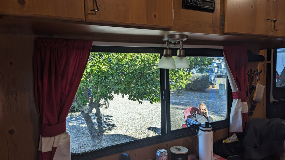
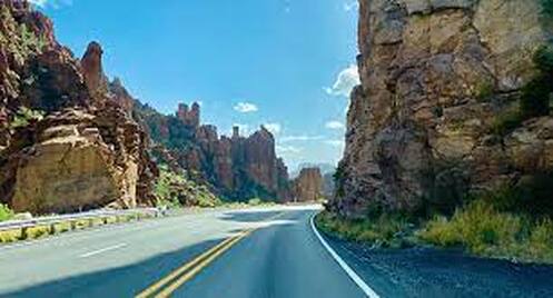
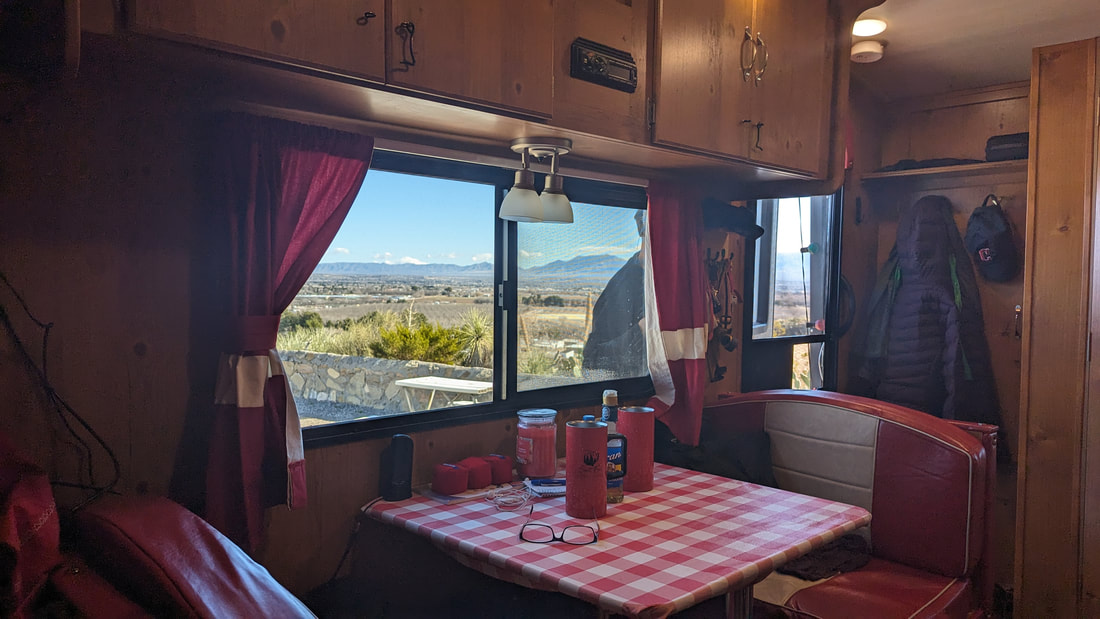
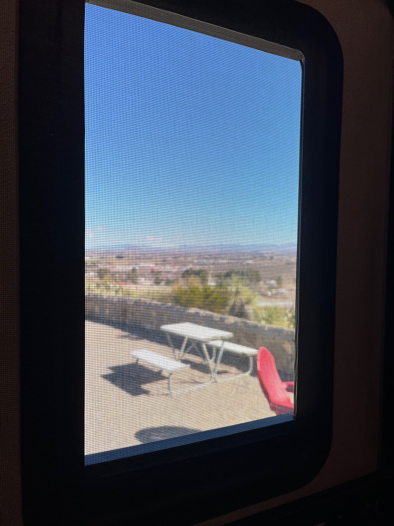
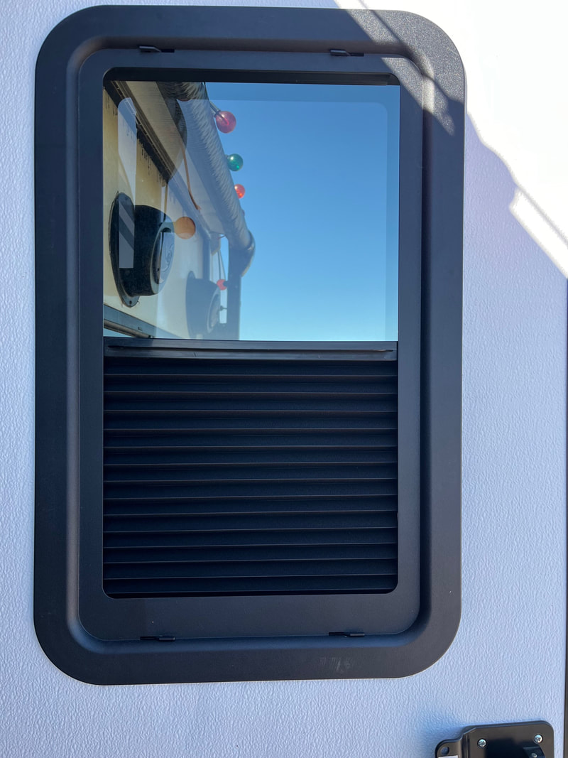
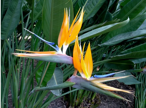
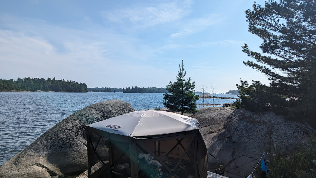
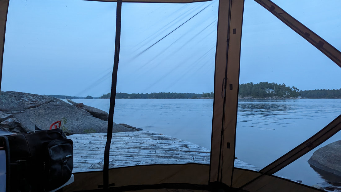
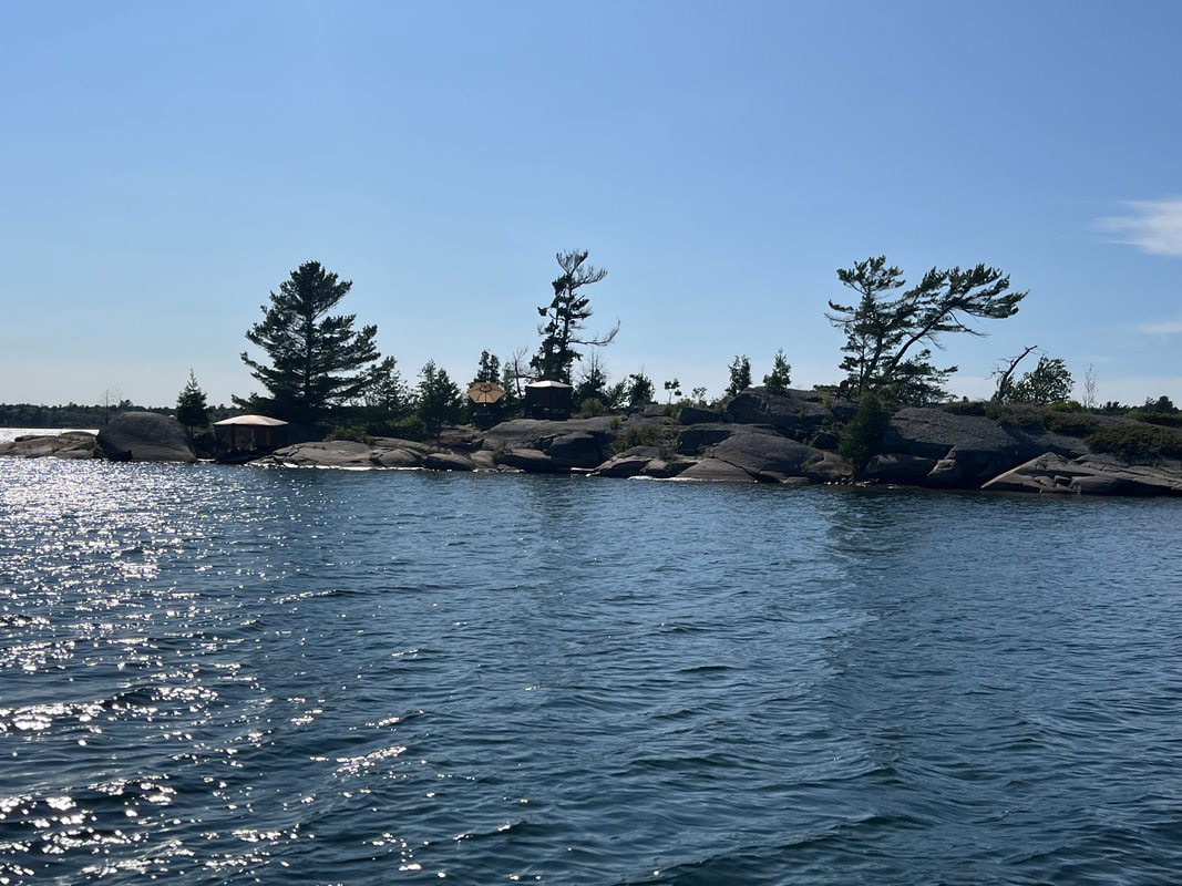
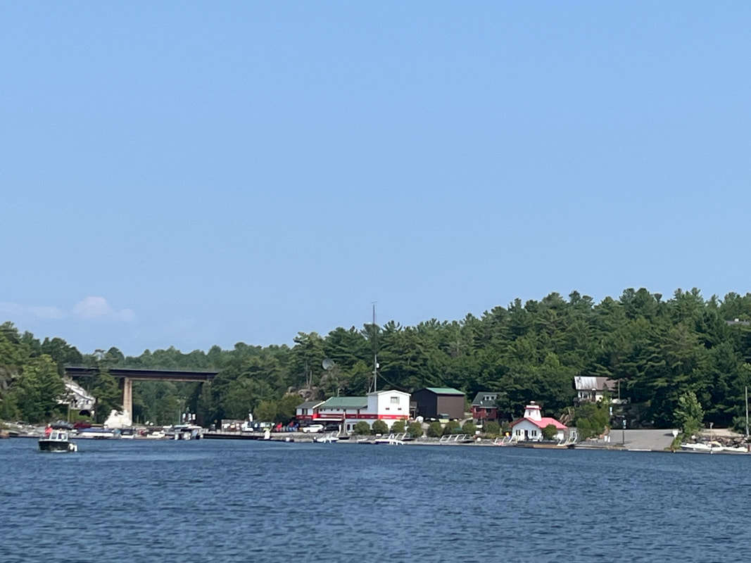
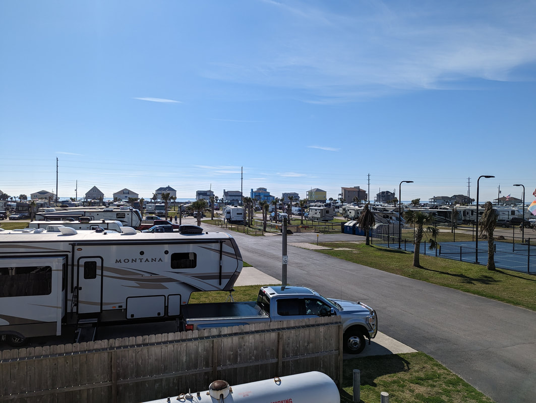
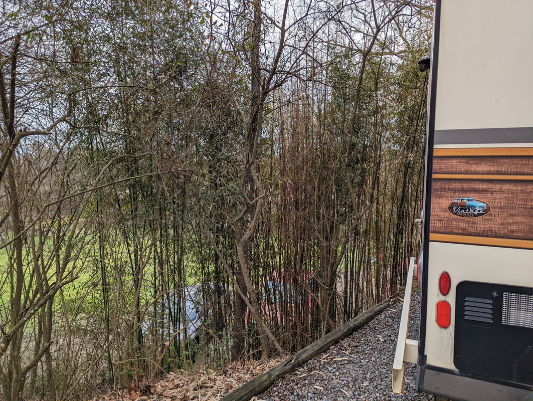
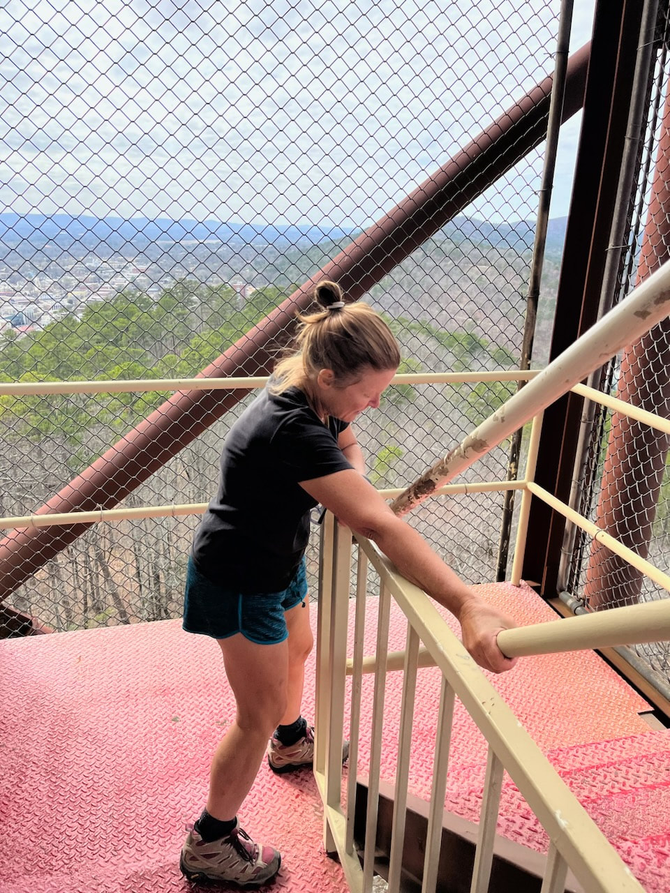
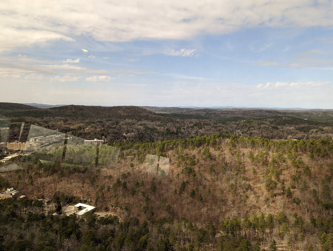
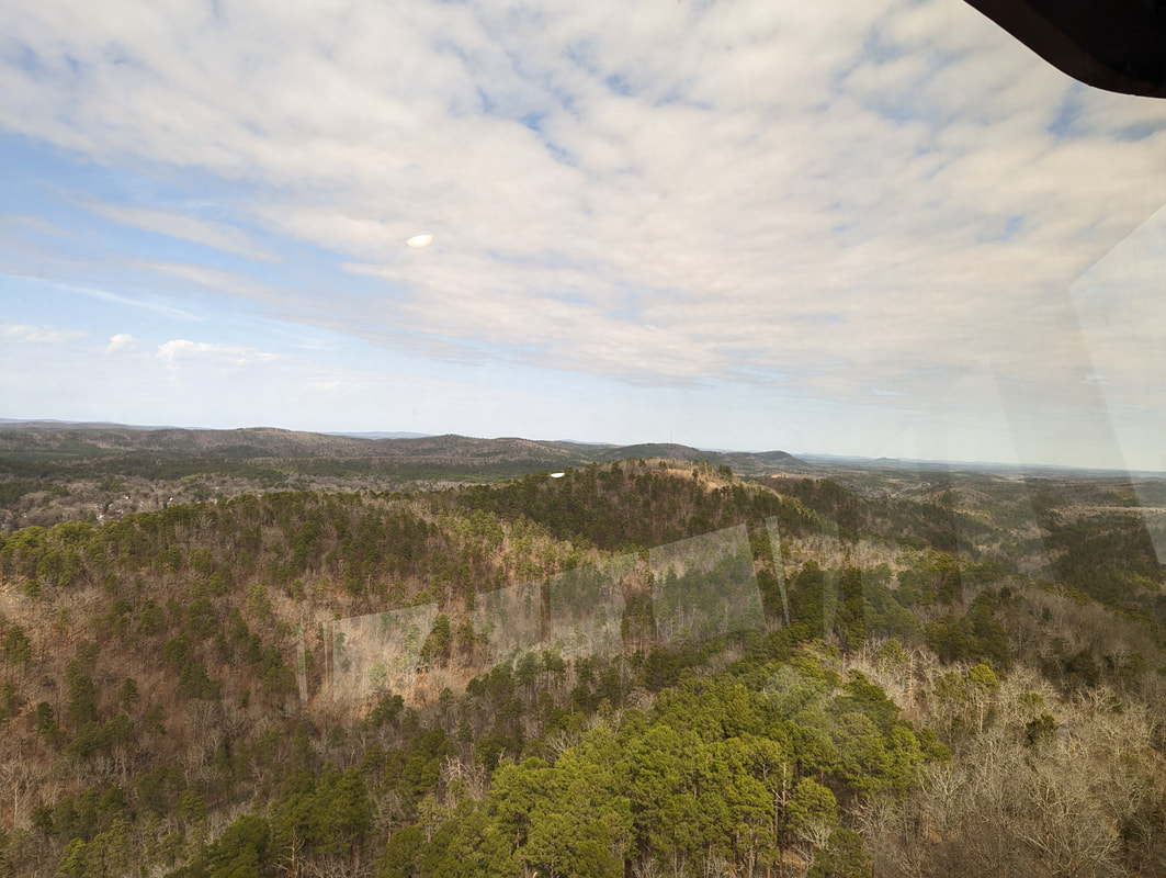
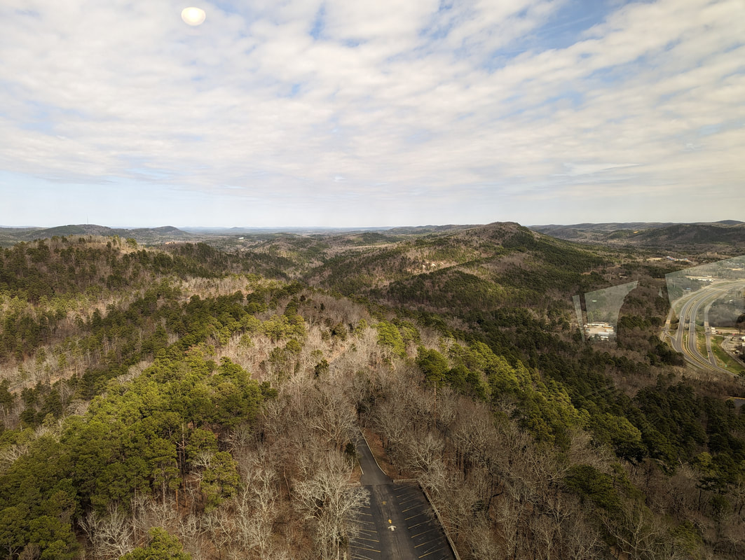
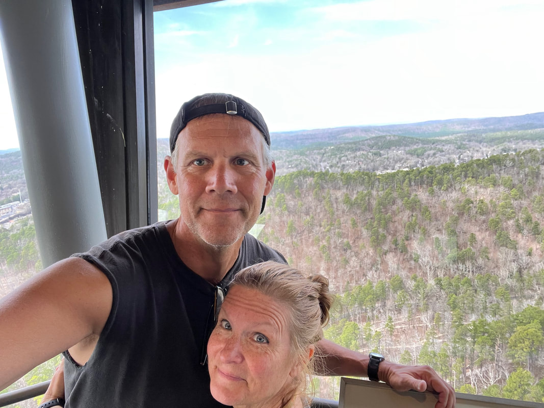
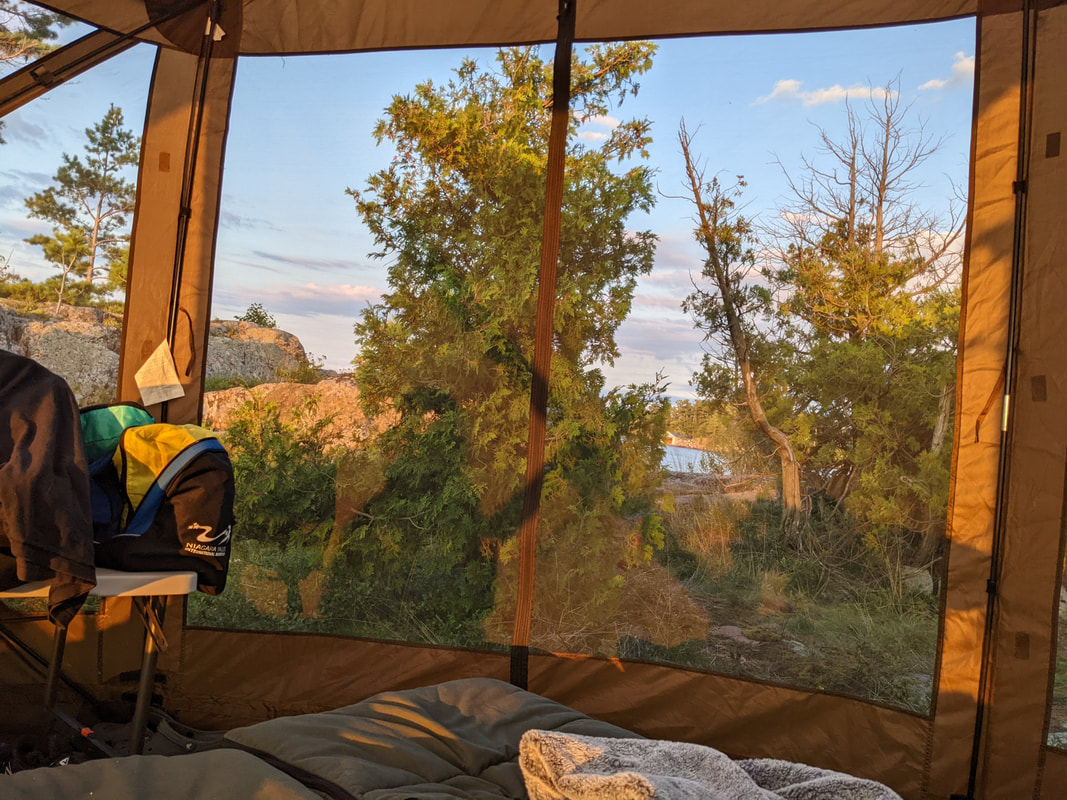
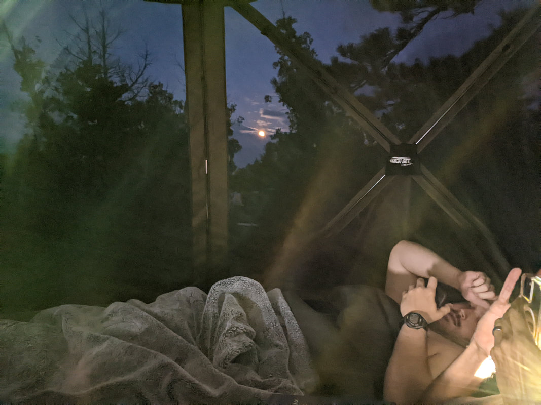
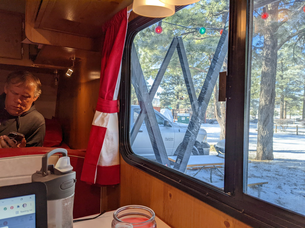
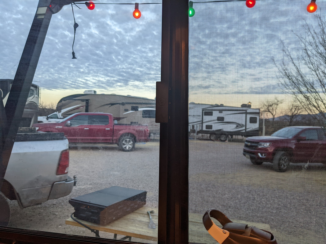
View from the window!

Phoenix Day 7 and Arrival at Tucson KOA

We got up early and had our coffee. Then we started to pack up because we wanted to be out early enough to get to our 10 am tennis reservation at the Mesa courts. We got there in plenty of time. We played for 70 minutes and had a lot of fun. Those courts are really beautiful. There are orange trees all around. Scott picked one and ate it. Then we headed out to Tucson. 
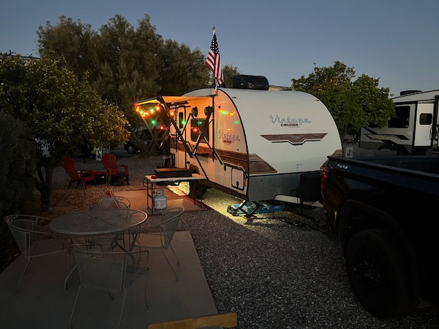
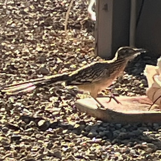
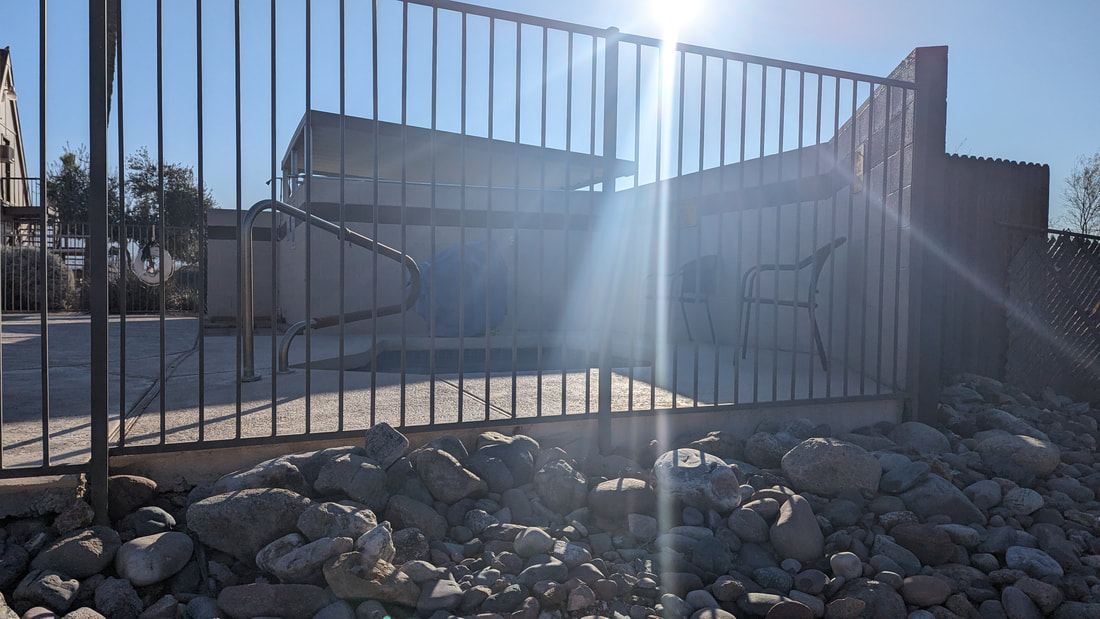
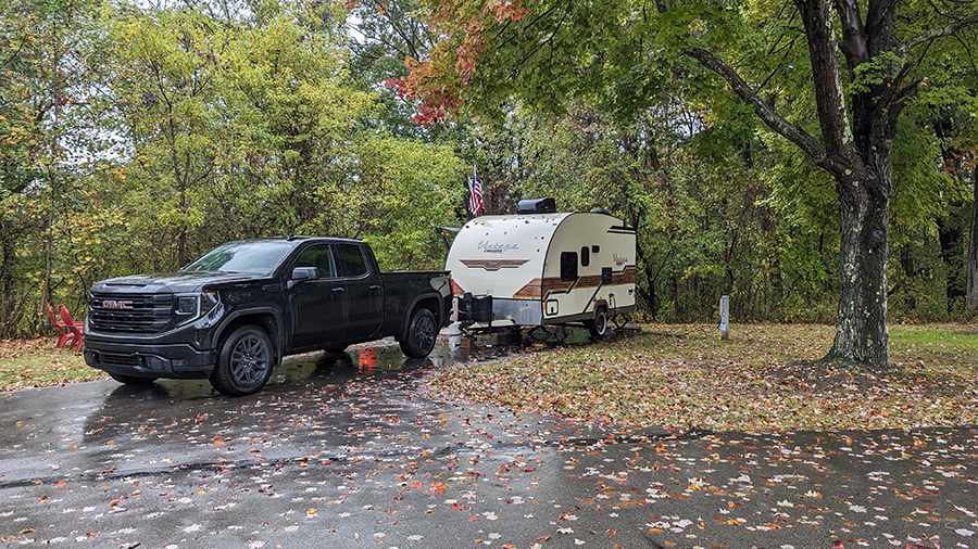
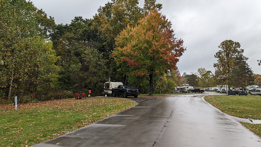
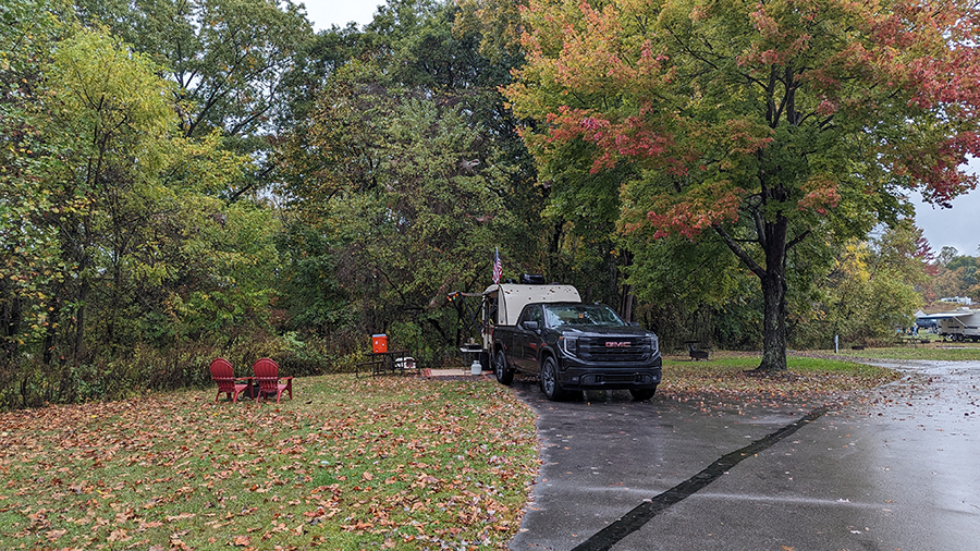
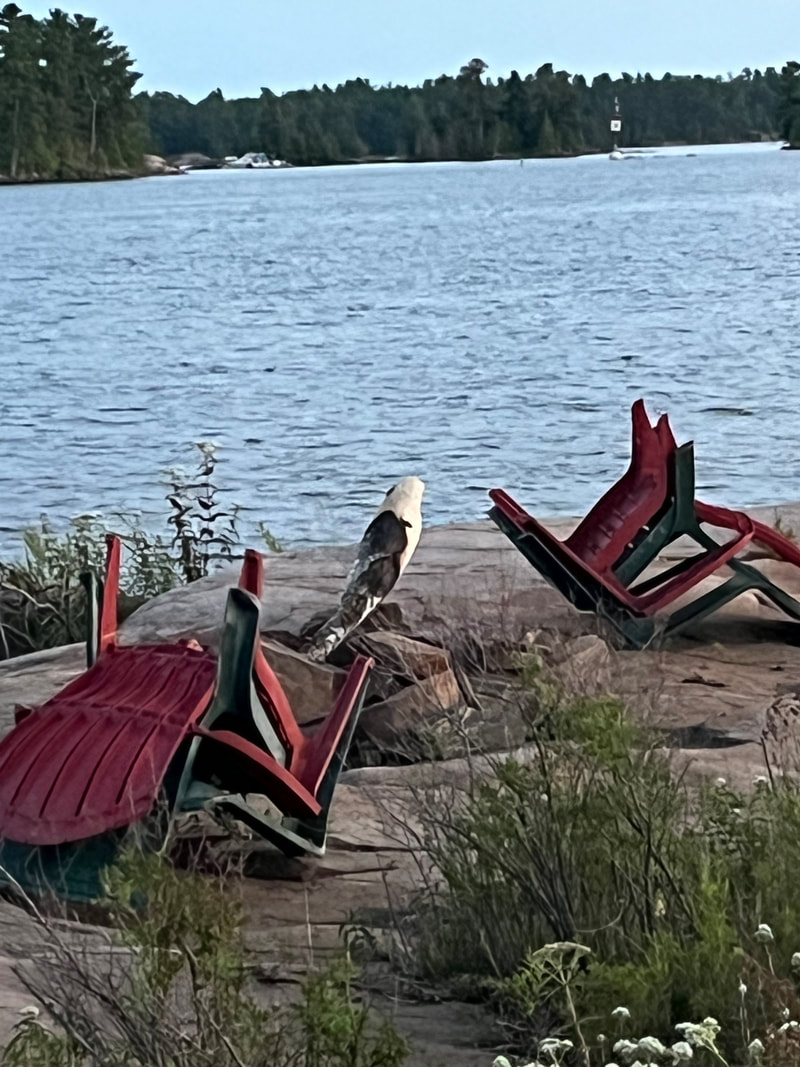
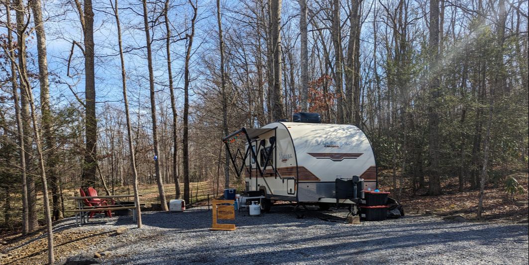
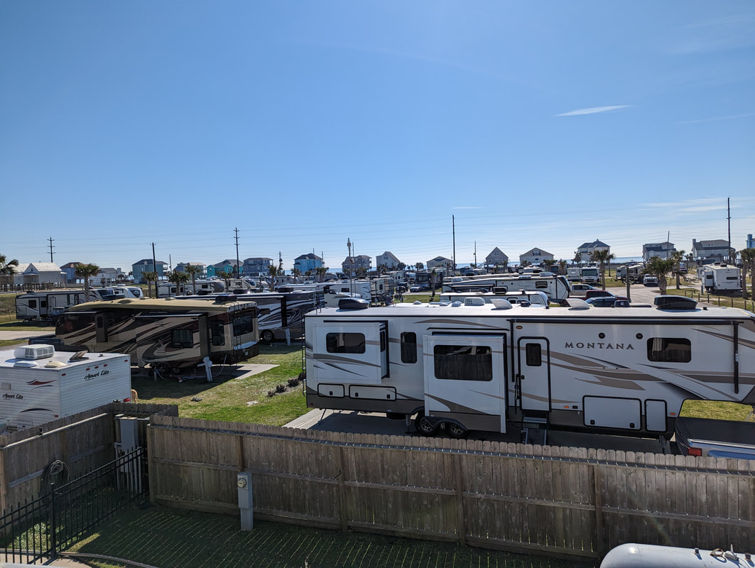
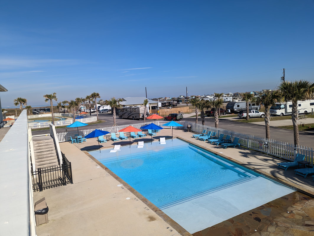
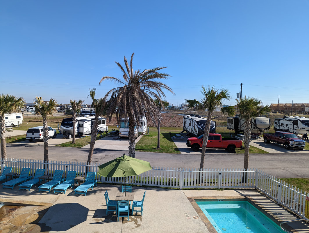
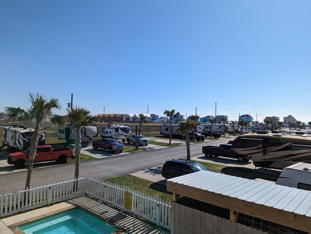
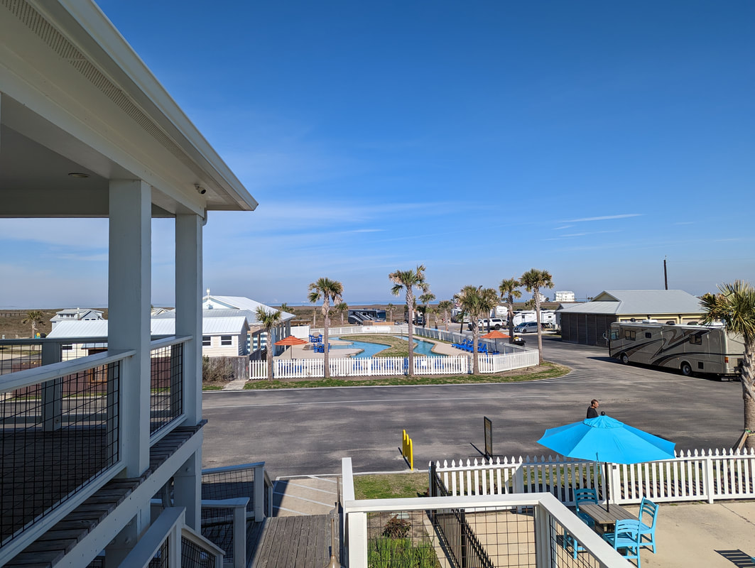
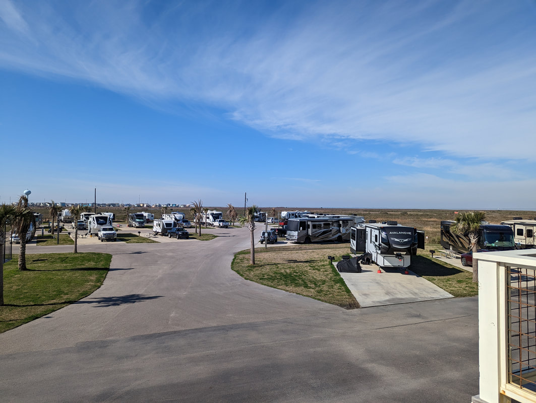
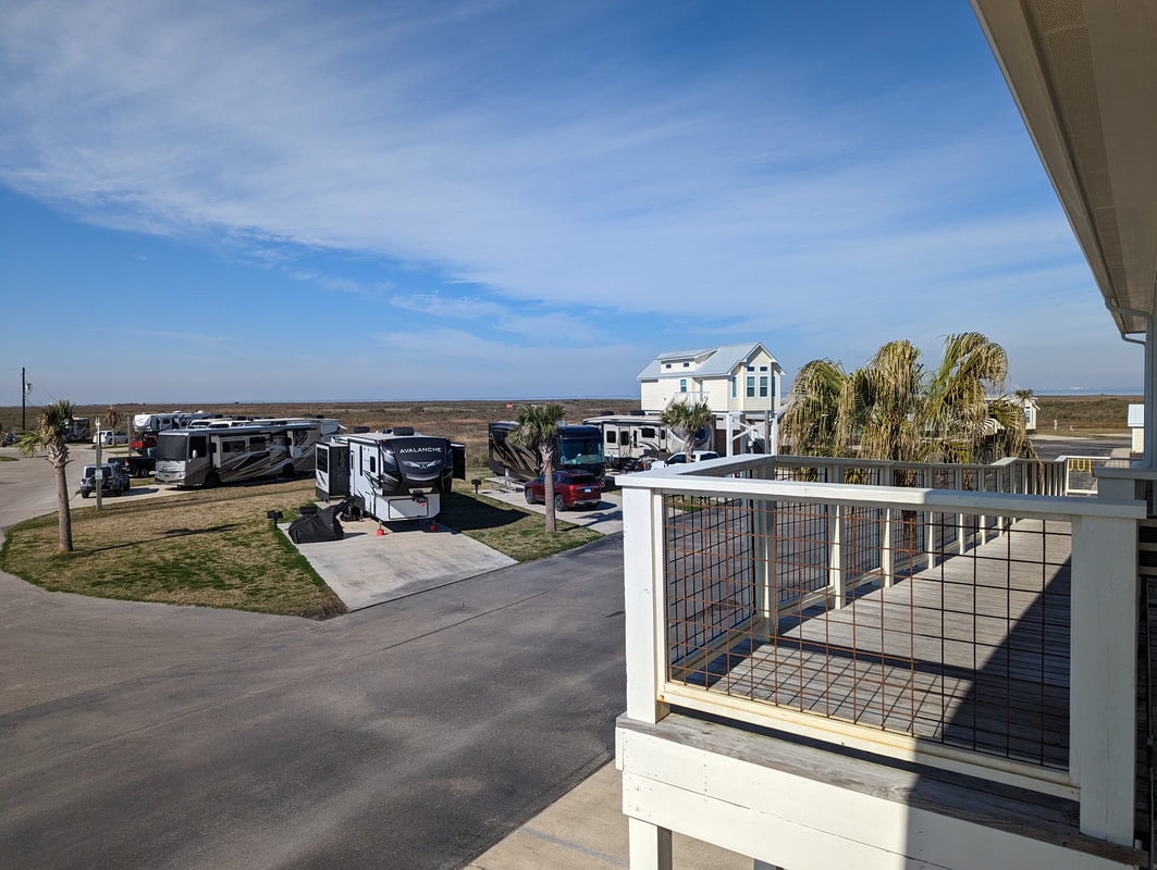
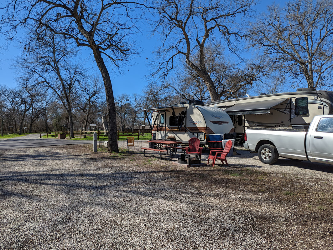
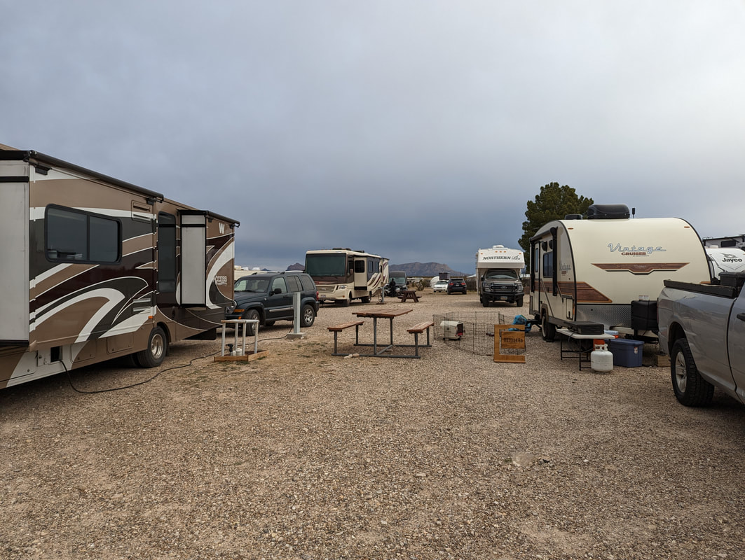
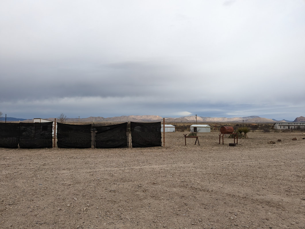
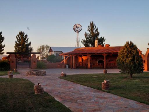
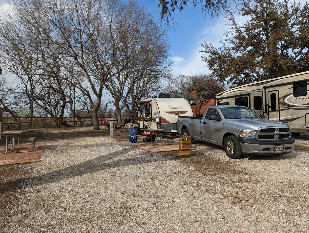
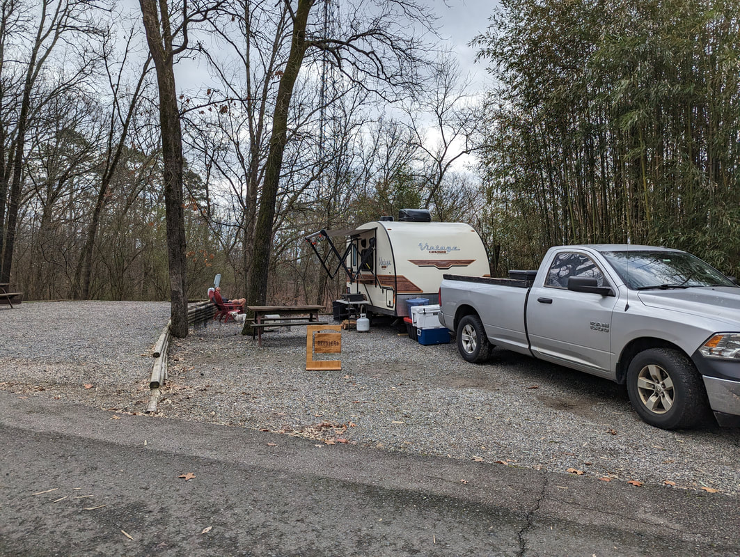
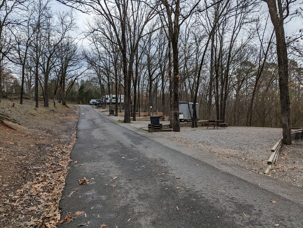
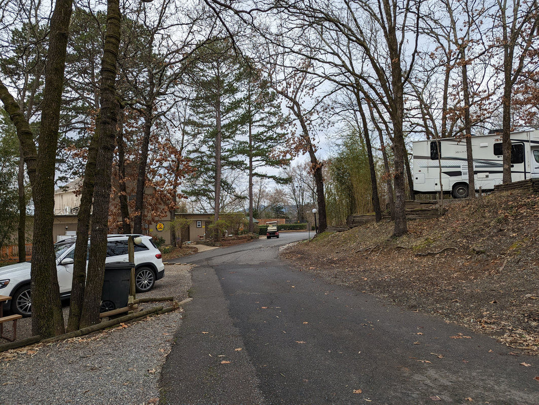
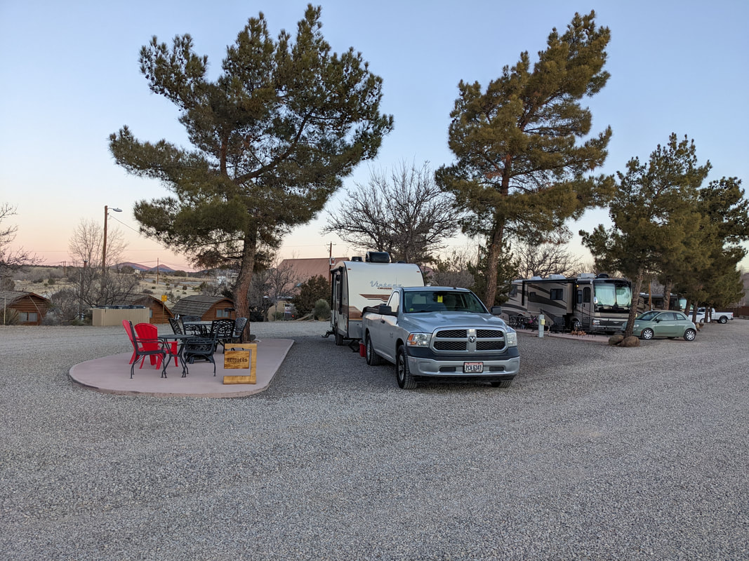
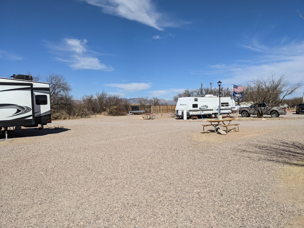
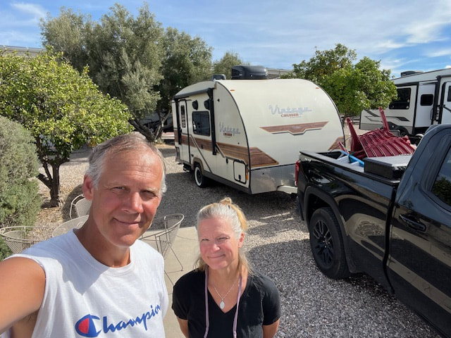
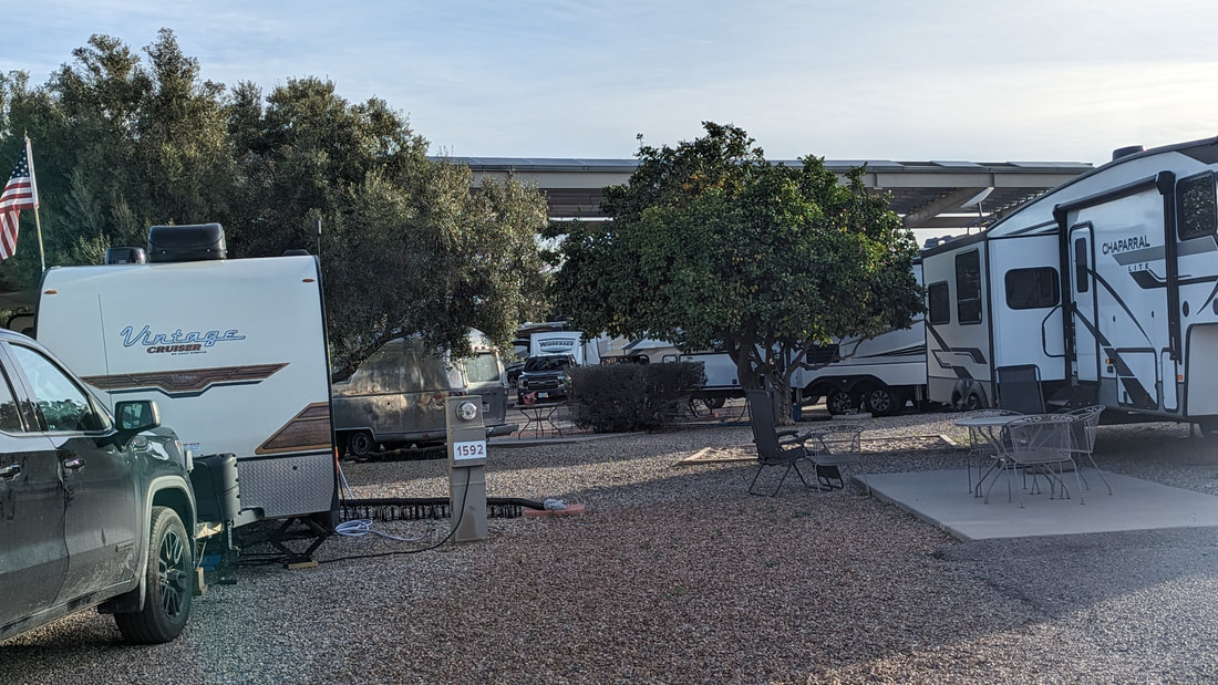
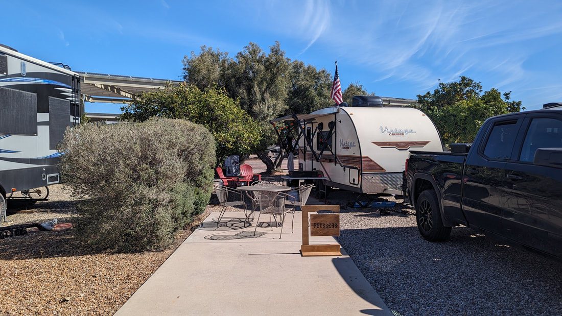
So we arrived in Tucson around about 3 pm. A new KOA. How would it be? Well, it is beautiful. It is enormous. We rode our bikes around after dinner and it took us 30 minutes. There are lots of orange trees, hedges, and trees. The sites are pretty darn big for a KOA. It is a very pleasant atmosphere. Our site is very nice. We have a concrete patio with a metal patio table and chairs. We have an orange tree and a hedge right along the side of our campsite, giving privacy from the neighboring monster RV. Soon after we arrived, we saw 2 roadrunners running around the site. There are two pools, two hot tubs, and 2 bath houses. However, that's not enough for all theses campers. The bathrooms are okay, not all that clean. We walked to the hot tub about 5 pm. It was teeming. We left and went up about an hour later on our bikes. Still full. We checked out the other hot tub near the front of the campground. Packed. We gave up. It is Sunday, so hopefully things will be less busy tomorrow. 
0 Comments

Western Trip 2024, Week 2

2/12/2024

0 Comments


Arrival in Phoenix (Apache Junction/Mesa KOA)

We drove for 5.5 hours to get to Phoenix, specifically Apache Junction, where the KOA is located. The drive was pleasant; we could choose to drive a route that took us to a narrow, windy road through Tonto National Forest for the last 30 minutes or Route 10 the whole way, which would have been 15 minutes longer but less scary. We went the scary way. Tonto is really beautiful with towering rocks and high elevation. 

I was too scared to take any photos, but here are two from the Internet that are fairly representative; IRL it's quite spectacular.
Picture
Picture
Scott took a picture of the landscape when we stopped in Safford, AZ, for gas, long before Tonto, where the land is classic basin and range, with flat plains and mountains in the distance.
Picture
We arrived at the KOA at 3:35. We're always anxious to see what an unfamiliar campground will be like. This one was not too bad for Arizona. The RV parks you see from the highway all over Arizona are downright depressing to me. Who knows? Maybe there are many tucked away from the highway that are lovely, but the ones I see are dumpy, dusty, dry, crowded, and brown. They look like parking lots either in the middle of nothing or riddled through with and surrounded by rusty, decaying buildings and trash.

So this KOA has trees and cacti sprinkled around, and it looks nice. Our site is actually pretty private and nice. I just need to get used to it. It's not perfect, but there are plusses and minuses, and in the end, the plusses far outweigh the negatives.   
Picture
Minuses of this KOA
  • I feel a tenser ambiance, like what rats probably feel when they're packed together in some experiment. Sites are no closer together than in any other KOA, so I don't know where I'm getting the impression. Maybe seeing on arrival a line of people carrying laundry to the laundry room and our placement next to tent sites, with the one next to us a bit hillbilly-looking (although probably pretty pleasant on the inside). UPDATE: The ambiance of this campground is super nice, and all the people we've run into have been as nice as anywhere.  
  • There is only one bathroom for the whole campground. There are 133 sites! The ladies have 3 toilets and 3 shower stalls. The men have 2 toilets and 3 showers. Scott said there was a line to use the johns when he went at 7:30 am. Update: Scott has been going in a little earlier in the AM and having no problem. I've never had a problem going to the bathroom or getting a shower when I wanted one.

    One thing we are doing for the first time on this trip is using our RV toilet, but we use it only for tinkle. We still use the KOA facilities for showers and their toilets for doo-doo. But being able to use the RV kitchen sink for water and washing dishes and the RV toilet has been a game-changer. We didn't hook up to water before on our February trips because we were apprehensive about water freezing and plus we were newbies to the sewer-dumping process. However, on this trip I insisted we use it because I was tired of carrying dirty dishes to the outdoor sink (or the bathroom if there was no outdoor sink!) and trekking to the KOA johns in the middle of the night. If the johns were too far, I'd use a porta potti that I have, but that was a pain because I'd have to empty it every morning.
  • At Las Cruces, we had full hookup (water, electric, and sewer). Here there is no sewer hookup. So in the middle of the week, we will have to hitch the camper up and drive over to the dump station. It's a chore because there is a lot of leveling and stabilizing that Scott has to do. I'll probably have to secure some stuff inside the camper as well, but not as much as if we were heading onto the road. Update: We have had to dump once, and it was not too bad. It took Scott almost 30 minutes to unhook and get the RV ready to drive 20 yards. So it's ideal to have full hook up, but not too bad if you don't.
  • Their wifi sucks. The receptionist warned us it's good only for minimal searching, no streaming. Thank goodness we have our WeBoost and hotspot, though we pay through the ass for the latter. Update: our WeBoost and hotspot have been working pretty well. 
  • Our site is on the end of a row. In the end, this is awesome because it gives us a lot of privacy. But we are next to a fence that hides the workers' equipment and sheds. They work over there and we hear a lot of noise. My view is fairly blocked, but Scott can see straight over it because he's tall. Update: One day it was super noisy, but it hasn't been bad since.
Plusses of this KOA
  • There is a hot tub. It is small and tucked into a kind of gross corner, but it exists. Two people were in it yesterday and it didn't look big enough to hold more politely. Update: it holds about 6–8 people. We've been in three times in 6 days, about any time we wanted. We have shared with at most 3 others, and they have been nice.
  • Our site is located next to the showers, bathrooms, laundry, pool, and hot tub.
  • As mentioned, our site actually gives us great privacy. We will never see neighbors on the main side of the site. The tent people are visible only looking out the window on the other side. We have two big trees at the back of the site with lots of foliage.
  • Over the fence, we can see the Superstition Mountains.
Picture
Creepy hot tub. 
Picture

Phoenix, Day 1

We lazed around until about noon. Then we headed over to Usery Mountain Regional Park. We had hiked here two years ago and loved it. And today, OMG we had such a fabulous hike! We started on the same trail, the Blevins Trail, which is a mostly gravel and sand path through hilly terrain filled with a variety of desert plants and sprinkled everywhere with saguaro. It's so gorgeous. We added the Cat's Peak Trail, which climbed to a beautiful view and went through similar terrain as Blevins, though the trail was more narrow. We got back to the parking lot and felt ready for more so we made another loop out of bits of the Noso, Blevins, Cat's Peak, Meridian, and Pass Mountain Trails. It was extremely pleasant, maybe our favorite hike. Total hiking time was about 2.5 hours and about 7.5 miles. 
We saw a lot of wildlife! Unfortunately, they all move quickly and it's hard to be sure exactly what you're seeing. We saw a number of rabbits, a lizard (I don't know what's out here but it looked like an anole), prairie dogs, prairie chickens or partridges, chipmunks, a hummingbird, a Gila woodpecker (I think), and a number of sparrow-sized birds with all different sorts of markings.

At our campsite we have routinely mourning doves, thrashers, cactus wrens, and some other birds I haven't identified yet.

Phoenix, Day 2

We got out about 11 am and headed straight to Usery Mountain Regional Park again. We first hiked the Wind Cave trail, a narrow and steep climb to a cave. It's gorgeous the whole way and a good workout. It got a little scary for me in places, but not as bad as the last time we hiked it two years ago.  
Then we went over to Blevins and walked a bit and then picked up the Chain Fruit Trail. It was full of chain fruit cholla (picture below) and all the other usual suspects. Very pretty. Total time hiking was about 2.5 hours. Total miles about 5.

I finally saw a roadrunner as we drove into the park. We saw lots of chipmunks and a few lizards, lots of birds but I don't know what they were. In the nature center, they have a feeder station and we saw lots of birds. There were hummingbirds and a rosy-faced lovebird, an import from Africa, which has proliferated in the wild here, according to the guy at the nature center.

Chain fruit cholla
Then we went and had a carb-filled and delicious lunch at Nandos, and then we went to some beautiful courts in Mesa and played tennis for an hour. It was a lot of fun. We got back to the campground and checked out the hot tub hopefully. No dice. It's packed with people who weren't going anywhere. Not much of an amenity if you can never get in it.
Picture

Phoenix, Day 3

We woke early--6:30 am mountain time. We had coffee and exercised. At 9 the hot tub was open and empty, so we ran to the camper, got ready, and ran to the hot tub. A guy was stepping into it. We said "screw it, we're going anyway." He was nice, and once we were in the tub, we realized it's plenty big enough to hold 6 stranger couples. I wouldn't want to be the fifth and sixth person stepping into it, but it wouldn't bother me if a fifth and sixth person came in when we were already in it. Anywho, it was a.m.a.z.i.n.g. Later, another guy came in for about 15 minutes, also nice, and then the original guy's wife. They were from BC, Canada, and we had a nice chat with them. 
Picture
After hot tub, we headed back to Usery Mountain Regional Park! We hiked Pass Mountain Trail. It was AMAZING. It was 7.5 miles and it took us 4 hours. I logged 22,000 steps on my fitbit. The trail was 98% fun and 2% absurdly scary. The worst was at the peak of the trail; we had to cross what was basically an f-ing cliff face, slanted down toward the cliff below. One fellow jogged across it as I was on my butt gripping the sides with my nails. Another couple passed us and walked across like it was a sidewalk in the city. Scott wasn't afraid at all but I had to cross it on my hands and knees. I was terrified and felt nauseous.  After that, the trail was normal again for a bit, and then it got scary, narrow and on the edge of a steep, steep slope; plus, we were high up. The views were absolutely stunning. I wish I wasn't so afraid of heights, but so it is.
This is where I panicked. 
Picture
Me freaking out on cliff.
Picture
Better view of the mountain slope, aka "trail," overlooking death.
Picture
Another pic trying to convey the terror of this part of the "trail."
All in all, we walked 7.5 miles and it took us nearly 4 hours. I saw a what I think was a quail! I also saw what I am pretty sure was a phainopepla.
Picture
A picture of a phainopepla from Wikipedia
When we got back to the campground, we ate dinner outside! It was warm and sunny.
Picture

Phoenix, Day 4

We sat outside today by the fire drinking our coffee. We took off at 9:30 to head back to the Mesa tennis courts. We played for an hour and had a lot of fun. Then we went to Walmart, came back to the KOA, and made a bee line for the hot tub. Only one other odd person was there, so it was super nice.
Picture
Next, we tried a new place to hike, Lost Dutchman State Park. It cost more to get in than Usery ($10 vs $7), and was okay. The views of the mountains were beautiful, the terrain was a little different so it was something new, and the first third of the path shot almost straight up the mountain so it was a good workout (which after Pass Mountain yesterday and tennis this morning, I didn't really need). The second third was super rocky and a chore to hike. The last third was a nice walking trail but the views were less amazing. Pleasant, but not stunning. I don't think we'll do this one again. We hiked the Treasure Loop to the Prospector's View to the Jacob's Cross Trail. The trails were not well marked at all but we didn't get lost until we came out into the wrong parking lot. Thank God Scott could figure out the map. I would have been lost and I was exhausted.
Then we went to Nando's. Again. It's so good.
Picture

Phoenix, Day 5

Well, today we were quite exhausted, me especially. We exercised, Scott fixed a couple things, and we took a bike ride around the campground for about 15 minutes. Then I practiced for 2 hours and Scott watched a webinar. Then we went to the hot tub again!
Picture
We were planning on going over to Usery again and walking some easier paths for a couple hours, but then we didn't have enough time before Scott and Thomas were scheduled to watch a show together. In the end, I'm glad because my legs really really need a rest. They watched their show, and I read Citizen of the Galaxy.

Phoenix, Day 6

We woke up with enough energy and strength to go hiking. We drank our coffee and exercised; then Scott fixed something else that fell off the camper and I did dishes. Then we did a half-hour hot tub and after that, we headed out to Usery again to do Pass Mountain Trail again!

It was an absolutely beautiful day. The temperature was perfect and there was a small breeze. The scenery was again stunning. The trail is challenging, with plenty of climbing and walking over rocks but often it's sand or pebbles and generally comfortable to walk. ​
I was still scared at the scary parts of the trail, but less so this time. I studied the death trap that the locals call "the saddle" before walking over it. It wasn't AS steep as I imagined the first time, and I realized I wouldn't die if I fell, though I would be covered in cactus barbs. I get scared up there because it's VERY high up and exposed. 
When we had about 2 miles left to go, we decided to take a trail we thought would loop back down to Pass Mountain Trail a little further up. We were wrong. We walked out a mile, hit a road, and turned around. I was pretty beat at that point and I couldn't handle looking for a reemergence of the trail elsewhere and adding more steps to the journey. In the end, we walked for 4.5 hours and we figure about 9.5 to 10 miles.
I didn't see too much wildlife. A bunny, a chipmunk, a small lizard, more small butterflies, and lots of birds I can't identify because everything moves fast.

Sometimes, you have to keep your eyes on the trail so you don't break an ankle. But it's okay because the rocks in this park and along this trail are awesome. There's a huge variety everywhere you look: rocks that look like they bubbled out of the ground just last week, smoother rocks that have been worn down by time, garnet-red rocks, olivine-green rocks, rusty rocks, white rocks and tuff,  fine-grained rocks, coarse-grained rocks with cubes of quartz, feldspar, and mica poking out, rocks disintegrating into gravel, and little mica mirrors sparkling out of rocks on the hillsides and the trail. 
When we got back, we had another hot tub and then we ate our meatball dinner outside.
Picture
0 Comments

Western Trip 2024, Week 1

2/8/2024

1 Comment

 
Picture
Our plan for this year's February trip was to get to warmth as quickly as possible. I mapped out various Cracker Barrel stops to three final weeklong destinations (Las Cruces, Phoenix, and Tucson), and then various Cracker Barrel stops to home. As per usual, the plan was adapted once we got going.

First stop: Cracker Barrel, Columbus

The plan was to stop first in Columbus to visit our daughter, which we did. She had plans the Friday we arrived, so we only got to see her for breakfast. We had a great breakfast and a lovely visit.
Picture

Second stop: Cracker Barrel, Bloomington, IN

Then it was on to Bloomington to see our son. We arrived early enough to go for a long hike with him and then get dinner at the Cracker Barrel. We went back to his apartment, where he and his dad watched their show and I chilled. Like literally and figuratively because he keeps the temperature at like 55 degrees. Anywho. 
Picture

Third stop: Cracker Barrel, Oklahoma City

​We had breakfast with him the next day and then we were off. Our next planned stop was Springfield, Missouri, but as we were driving, Scott said he felt like driving, so we decided to see how far we could get. We got all the way to Oklahoma City. It was like 10 or 11 hours of driving. 

We got up early, didn't bother eating breakfast, and headed out to Starbucks for coffee. There we decided once again to skip the next planned stop, Amarillo, Texas, which at this point was not that far away, and see if we could make it all the way to Las Cruces. We would be arriving a day ahead of schedule, but there was a Cracker Barrel we could stay at. It would be another 10–11 hours of driving.

Destination 1: Las Cruces KOA

However, during the day, I called the KOA and our spot was available for the night, and we had left so early that we'd be arriving in plenty of time (after eating dinner we got there at 6 pm. So we made it all the way to the KOA! 

Our site was amazing! We had a view of Las Cruces, and at night, which is when we arrived, it was stunning.
Picture
During the day, we could see the Organ Mountains.
Picture
You could see the view sitting at the table.
Picture
Right before we left, I said I wanted to get a propane fire pit. I'd been debating it a long time. On the one hand, I prefer a real fire a million times over, but on the other hand, you can't take enough wood for a monthlong trip or buy any good wood when you're traveling to make all the fires you'd want. My sister has had a propane pit for a while and I discovered I enjoyed sitting around it more than I thought I would. So we picked one up and we're both so pleased. You can fire it right up and it's quite enjoyable. It's not as nice as real, no question, but it's pretty nice. And it's always available, with instant and easy startup.
Picture
Picture

Las Cruces, Day 1

On our first day, we headed out to the Desert Peaks National Monument area in the Organ Moutains. We followed AllTrails looking for the Achenbach Trail, couldn't find it, and wound up at the Bar Canyon Trail. We hiked for about 2 hours. It was awesome!
Picture
Here are some pics from the day although I can't honestly say that these were all from this trail. I may have mixed some in from the next day.

Las Cruces, Day 2

The next day we went back to the same area, but this time we went on a bunch of trails that start with the Dripping Springs Trail and then make a big loop back to the starting point at the visitors' center. Dripping Springs ends at a tiny dribble of water coming out of the rocks, and there are 2 historical sites there as well. One is Van Patten's camp, which was a recreational resort for folks in the 1800s and early 1900s. Several buildings are still standing. The other is Boyd's sanitorium. Some of those buildings are standing, too, and they are creepy. The hike was beautiful.

​Next we took another trail, the Crawford Trail, which led to an offshoot trail, the Fillmore Canyon Trail. We went down that. I saw a mule deer on the way, but it was too fast for me and I didn't get a photo. The end of Fillmore was a bunch of huge tumbled rocks, many worn smooth and round by water that was not there now. It was bone dry. Very pretty.

​We came back out to the Crawford Trail and it soon turned into or onto La Cuerva (the cave) Trail. Indeed, there was a small cave along the trail. Then the trail led back to the visitors' center. Total hiking time was 3 hours. 
The Organ Mountains, according to some literature at the visitors' center, were formed by an upwelling of a shit-ton of magma into the sedimentary layers formed during the time the Southwest was a massive inland sea. This orogeny makes for loads of cool rocks. 

Las Cruces, Day 3

We used the morning to get some projects done. Scott put in a new clear window with a shade in the RV door to replace the frosted glass, he painted the tires so they look like whitewalls (like the original tires, but they blew and he bought better tires but no whitewalls), then he took apart our propane tubing and valves because we had a leak and all the propane was gone, and I worked on this blog writing about this vacation instead of living it. After that, we went hunting for propane replacement parts. First we went to the RV store. They had only the valve bit but not the hose. Then we went to Home Depot. They don't have propane stuff. Then we went to Griffin's propane. The guy who knows parts was out for a bit so we had to go away and come back. 

But we were close to super nice tennis courts! So we went and played tennis. It was fun but it was pretty windy, which did interfere quite a bit with the play. Hopefully we can play again there when it is not windy.

​Then we went back to Griffin's and the fellow helped Scott get the one hose off the part that needed replacing, then we went home and ate dinner. After that we had an hour of daylight left and we decided to go for a bike ride. We had spotted a nice bike path along the Rio Grande. So we went and did that. It was very pleasant. Cold, but a pleasant ride. The Rio Grande is not that wide here and it is bone dry. I googled and found out they divert the water with dams and levees this time of year and they'll start to release it when growing season begins. About a mile down the path, there was some water flowing into the river. There were a lot of birds hanging out there—geese, ducks, crows or ravens, and doves.

Las Cruces, Day 4

Day 4 we decided to hike City of Rocks. We were there two years ago on our Western trip and we really loved it. It was an hour and a half drive from our campsite, but we thought it would be worth it. It was. We hiked the Hydra Trail again, and the Table Top Trail. We hiked for 3 hours. The temperature alternated from needing a coat to not as we went through shade or sun. It was a beautiful day.

​City of Rocks is an igneous formation that has been eroded into pillars over the years. According to the display in the visitors' center, there were eruptions starting 35 million years ago and repeating periodically. There is a lot of pumice because lots of the eruptions went high in the air.

We had lunch at a picnic table near the visitors' center and then headed home. 
As soon as I sat down at the picnic table, birds started flying in. In all, three different species visited us. One flew right on to Scott's head! I thought it was a wood thrush, but after buying a guide to local birds later in the trip, I am pretty sure it's a cactus wren. Then we saw a bunch of black-throated sparrows, and finally, there was a thrasher of some sort, curved-billed, Bendire's, or Crissal's. There are 3 thrashers here, and I can't tell them apart. Also we saw a hawk or falcon soaring. It was big and beautiful.
Black-throated sparrow
Thrasher of some sort
Thrasher
Black-throated sparrow
Cactus wren
There is a botanical garden at City of Rocks with little plaques in front of various species.
Bird of Paradise
Cane cholla
Claret cup cactus
Cow's tongue cactus
Desert willlow
Engleman's prickly pear
Lecugilla
Mesquite
Mormon tea
Ocotillo
Parry's agave
Prickly pear cactus
Sotol
Yucca of some sort
Torrey yucca
Yucca of some sort
Some plants probably look a bit different when it's summer; I was curious about "Bird of Paradise" and found this picture on the web.
Picture

Las Cruces, Day 5

Our plan was to do the Pine Tree Trail on the other side of the Organ Mountains.. But it was rainy and chilly early in the day, so we decided to wait a bit before going. So, in the morning, we hung out at the camper. Scott was making an improvement to the bed and fixing the exercise band in his truck. I was working on this post, doing dishes, and exercising. Then we went to Walmart to pick up supplies. 

Then it was off to Pine Tree. Slushy snow was falling as we headed out of the KOA! As we got to about 20 minutes before the trailhead, the weather got bad. The snow was fairly heavy. Traffic on the highway slowed. Then we turned onto our turnoff with 15 minutes to go to get the the trailhead. There was a sign about watching out for bad weather and windy roads. I started to get nervous. About 2 miles up the road, the gate was pulled closed. There was a camp host station at that point and a couple of cars. A guy in a truck saw us arrive and came over. He was in an NPS truck, so not sure if he was a ranger or the camp host. He said he'd just closed the gate because a car had gotten stuck up the road, and he could not get to them because the road was so bad. He said we could park and hike the terrain or walk up the road.

We decided to walk up the road. It was slushy but tires had left tracks where we could walk snow free. The hike turned out to be exceptionally fun and beautiful. We never made it to the trailhead, but we walked 1 hour 20 minutes out and another 1 hour something back.  The landscape was lovely, with hills, mountains, various flora, and beautiful rocks tumbled onto hills and into canyons. 

When we were ready to turn around, we decided to hike up a small hill that promised a good view. On the way we saw a statue of Mary! Scott made another statue out of rocks. In the basin below, we could see White Sands Missile Range. It wasn't that exciting.
Reading the reviews of this trail, a couple people saw oryxes. These were brought in from the Serengeti decades ago and now they roam the area. I was hoping to see one, but alas, I did not. We did see cows. A couple, one a baby, even crossed the road in front of us.
Picture
When we got back, the setting sun was hitting the mountains and the dark clouds were above. It looked like they were on fire!
1 Comment

Pensacola, December 2023

12/27/2023

0 Comments

 
Picture
We decided to add a trip to our yearly allotment: Fort Pickens State Park in Pensacola.  All in all, a great decision and a nice trip.

We went the week before Christmas. I wish we could have gone early and stayed later, but I had a concert on December 15, and Christmas is always on December 25 doncha know.

Scott was feeling pretty bad driving down and for the first half of the week, being on the tail end of a bad cold. Other than that, it was a great trip. We still hiked a lot, rode bikes, took a trip to the naval aviation museum, and had a nice visit with my sister. The weather was cooler than we would have liked that week, high 50s, low 60s, but they had snow at home, so we still preferred being here than there. 
We took the White Ingrate because he used to enjoy camping trips, or so it seemed. He was so annoying this time. We barricaded him in the back seat while driving because he wouldn't stay still, wanting to walk all over the driver and me incessantly with his little pointy nails. At the campsite, even though it was chilly, he refused to stay inside, clawing at the screen door whenever he was in there. We only brought him in when we went to bed, turned out the lights, and barricaded the screen so he couldn't get at it. The only thing he seemed to enjoy was his daily walk.

Also, he did not go in his camper one single time. That's because Scott worked so hard on it to make it beautiful and comfy. He'd rather shiver in the cold than be appreciative of anything the Human did for him, even if he has to suffer a bit. ​I suppose you have to admire his steadfast adherence to his principles.
Picture
We walked around the beach from the Pensacola Bay side around the island's point and up the Gulf side beach. We walked the nature trail on the top of the dunes and the part of the Florida trail we could access in the park a couple times. We rode our bikes around the campground and through the park twice. And we walked up to the fort. 
My sister is camp hosting at Krul Lake and she came down to visit. We went to the Naval Aviation Museum, which is finally open again to the public. Scott liked it. My sister and I did the simulator (not pictured) and that was a lot of fun. We did loops and rolls. Then we went to dinner and had a good meal.
Picture
We walked past the hideous pre-Civil War military fortifications we hadn't seen before and realized where George Lucas got his ideas for Star Wars.
We saw more armadillos, three this time. One walked right through our campsite, oblivious to the dog in his pen. I saw a yellow-rumped warbler and a ruby-throated kinglet. There were pelicans and three variations on the theme of "shore bird with big, pointy beaks that fed by chasing after the receding waves and gobbling up something before the waves came back." Two were small, one of which was white, the other gray, and the third was double the size and gray.
We had some nice campfires and sunsets.
0 Comments
<<Previous

    The Reussers

    Documenting our travels  in our Vintage Cruiser with some family camping trips thrown in.

    Categories

    All
    Anniversary Trips
    Canada
    February Trips
    Other Family Camping Trips
    Pensacola
    Purchase
    RV Upgrades
    Salt Fork
    Western Trips
    West Virginia

    Links

    COE campground locator
Proudly powered by Weebly