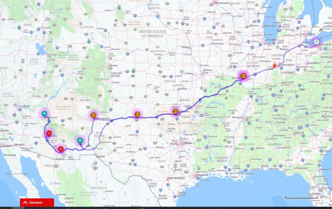
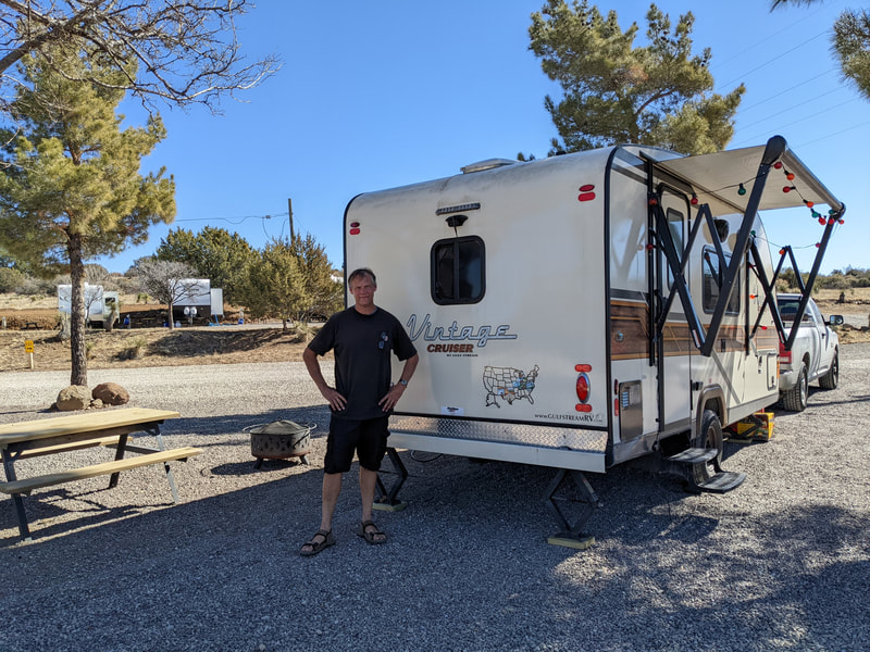
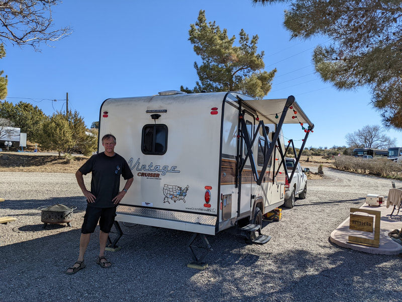
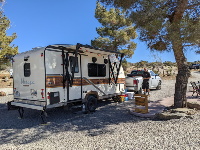
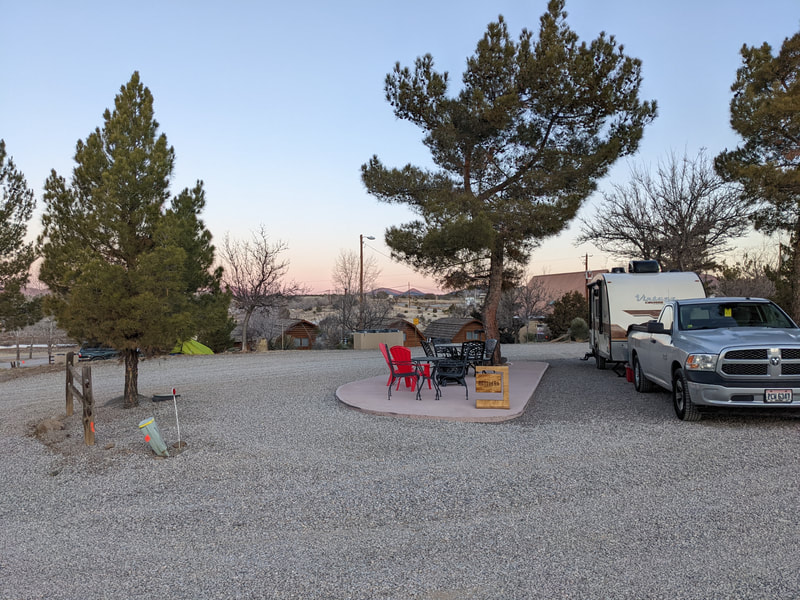
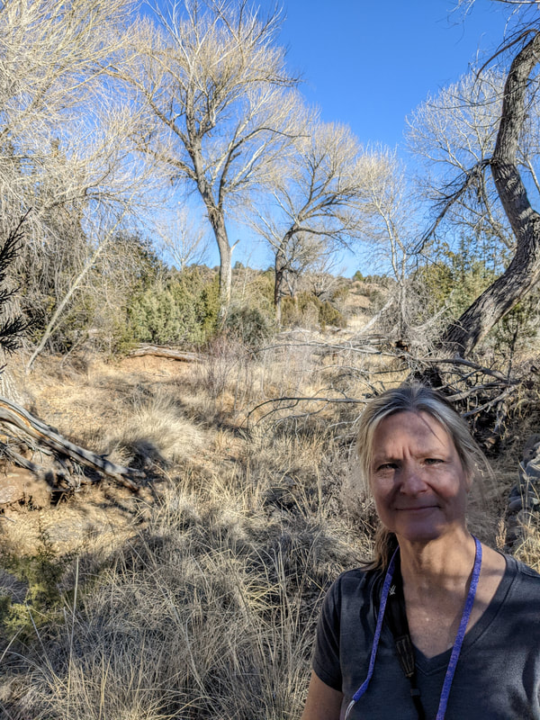
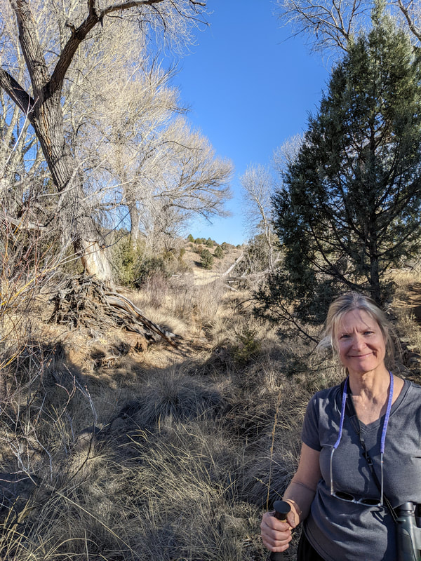
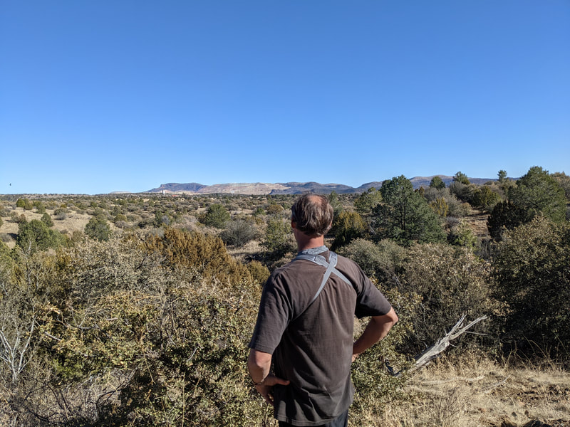
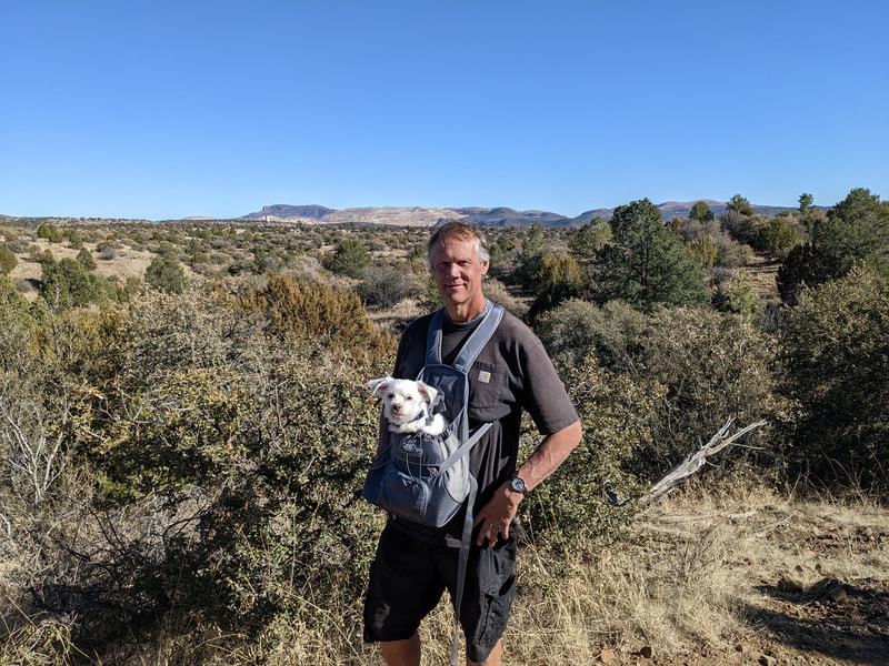
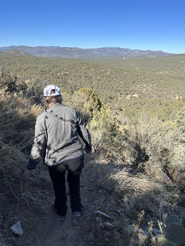
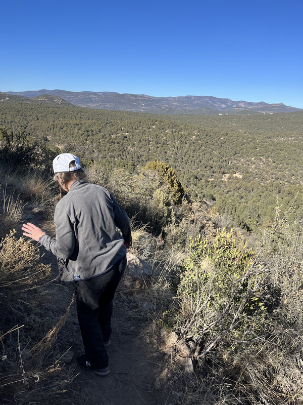
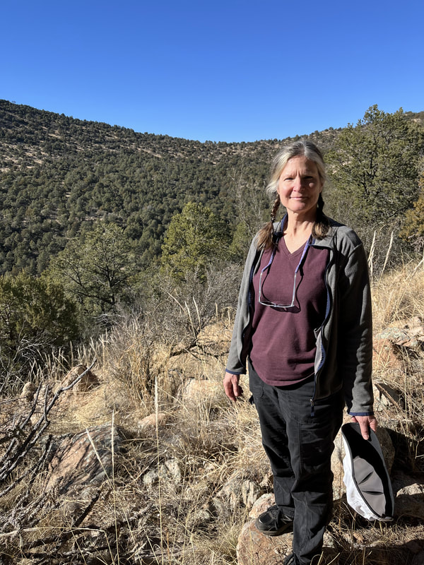
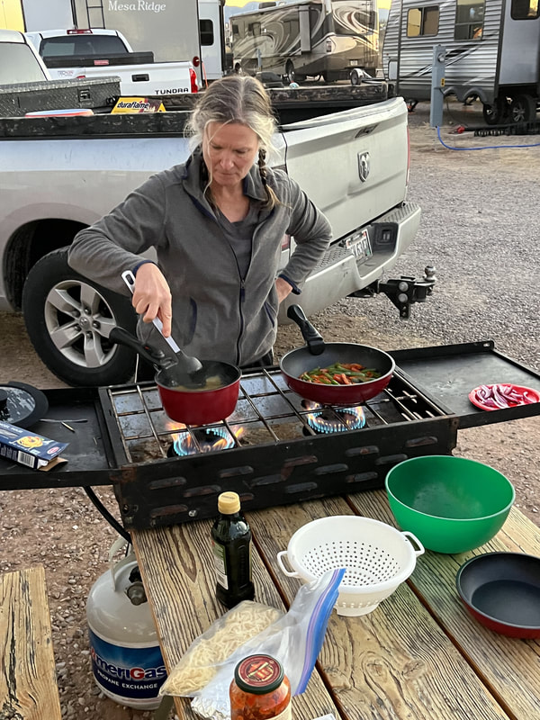
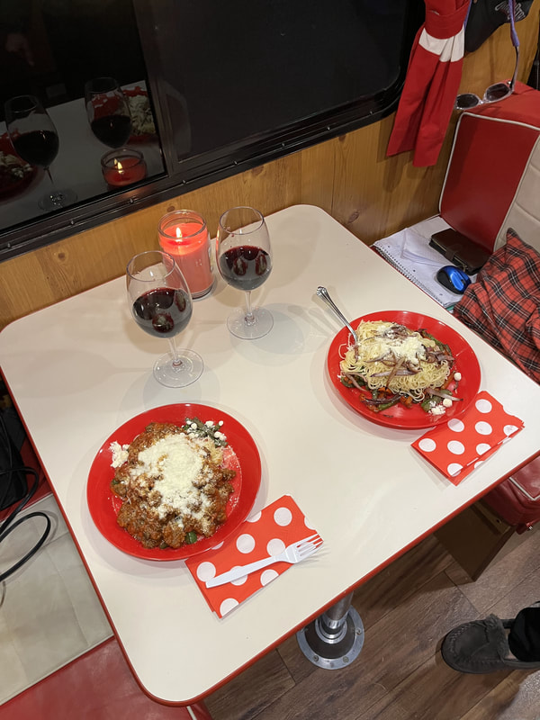
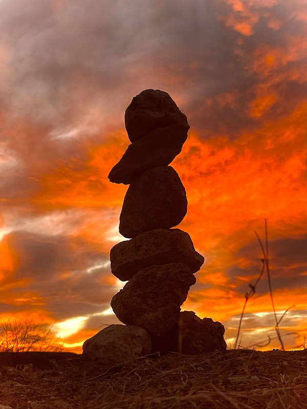
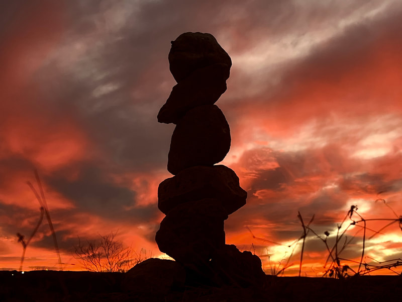
We planned to take our first big RV trip in February 2022, a nearly month-long trip out west, February 7 to 28. I tried to plan it out ahead of time. I bought a subscription to RV Trip Wizard and was doing some research there and on Google, but my husband was so busy with work he didn't have a chance to give me key pieces of info like how far each day he wanted to drive so I didn't make any progress. A few days before we took off, he and I sat down with RV Trip Wizard, planned out our route, and I went online and booked the sites.
We were heading basically to New Mexico and Arizona, ending at the Grand Canyon. We were going to make a beeline out by driving lots and staying overnight at Cracker Barrels. The first night we were at a Cracker Barrel in St. Louis. The second night a Cracker Barrel in Amarillo, Texas. That was a long drive. We had planned to stay at a rest stop in between, but as we were driving, we were like, what the hell, let's get there.
We were heading basically to New Mexico and Arizona, ending at the Grand Canyon. We were going to make a beeline out by driving lots and staying overnight at Cracker Barrels. The first night we were at a Cracker Barrel in St. Louis. The second night a Cracker Barrel in Amarillo, Texas. That was a long drive. We had planned to stay at a rest stop in between, but as we were driving, we were like, what the hell, let's get there.
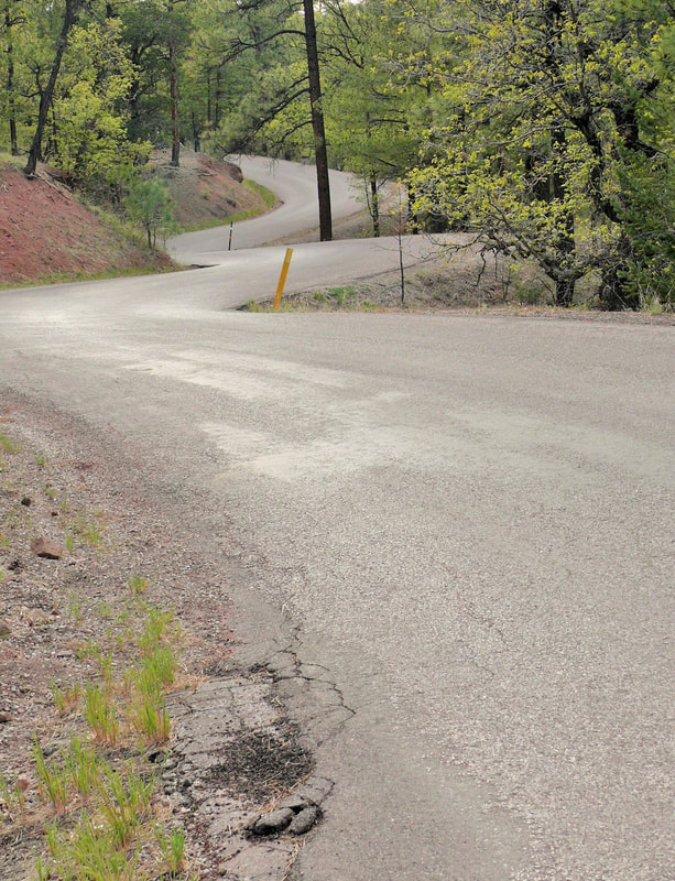
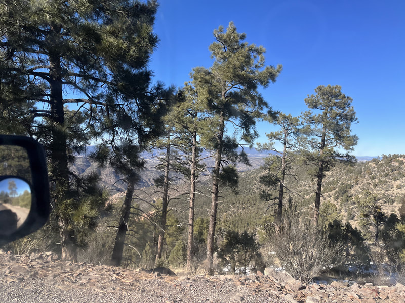
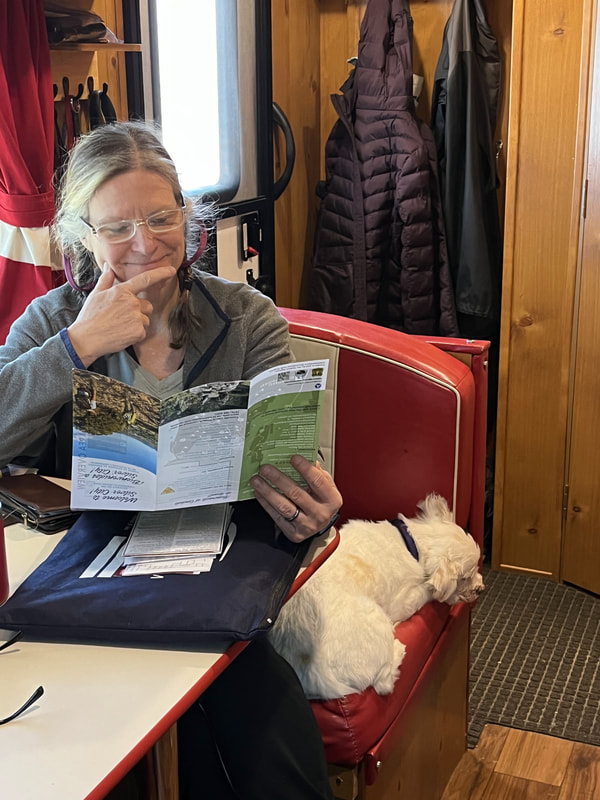
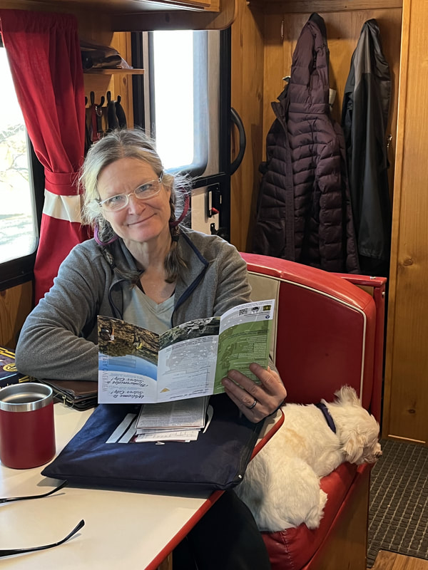
On the third night we were in Silver City, New Mexico, at a KOA. The drive to Silver City was fine until the last 20 miles. It was there that we arrived at a narrow road and a yellow sign warning drivers about dangerous mountain-road conditions. There was no going backwards. We drove for 30 harrowing minutes. Narrow road with sheer drop offs on one side. Snow-covered bits of road. Scary turns you couldn't see the other side of. Even my husband was hunched over the wheel and white knuckling the steering wheel and he's not scared of much. I had to close my eyes for most of it.
I sure as hell wasn't taking pictures, so I don't have any. Here's one from the National Park Service that shows the windiness of the road, but not the mountains and sheer drop-offs right next to the road. Or the ice and snow on the road!
I sure as hell wasn't taking pictures, so I don't have any. Here's one from the National Park Service that shows the windiness of the road, but not the mountains and sheer drop-offs right next to the road. Or the ice and snow on the road!
The KOA campground was nice. Now we're spoiled by the first KOA experience we had in Gatlinburg, and I'm too nervous to pick a state or national park in case it's crappy and gross. We do need to branch out. I know there are awesome state and national park campgrounds.
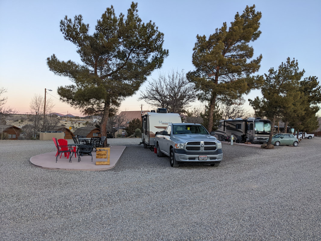
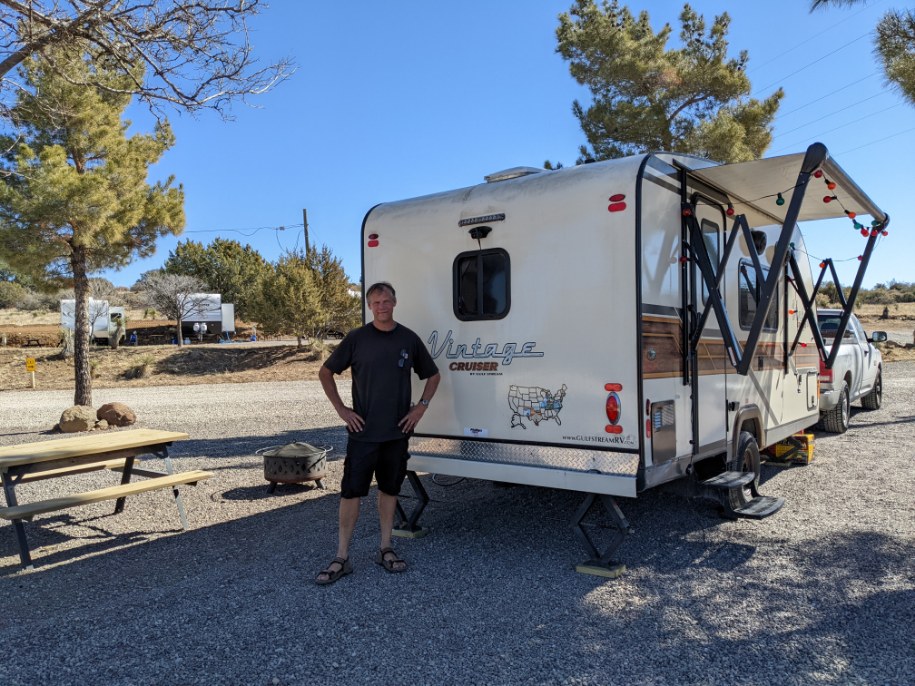
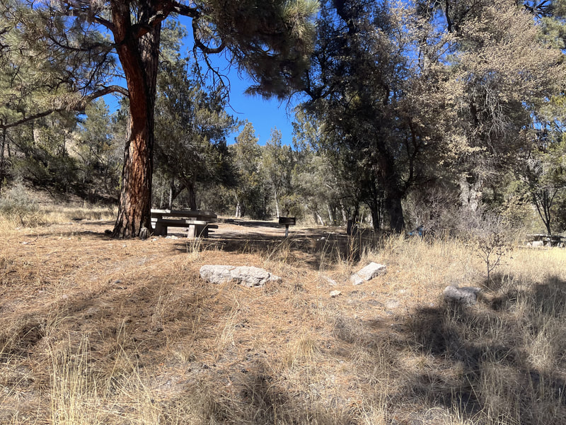
The Silver City KOA was close to the highway, but it wasn't too noisy. It was clean and well-lit. We had a nice spot on end of the premium spots. The bathroom was close by and clean. There was a nice utility sink in which I could do the dishes. The dog park was right next to us.
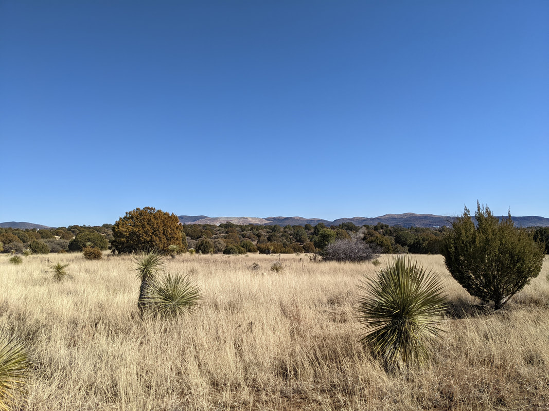
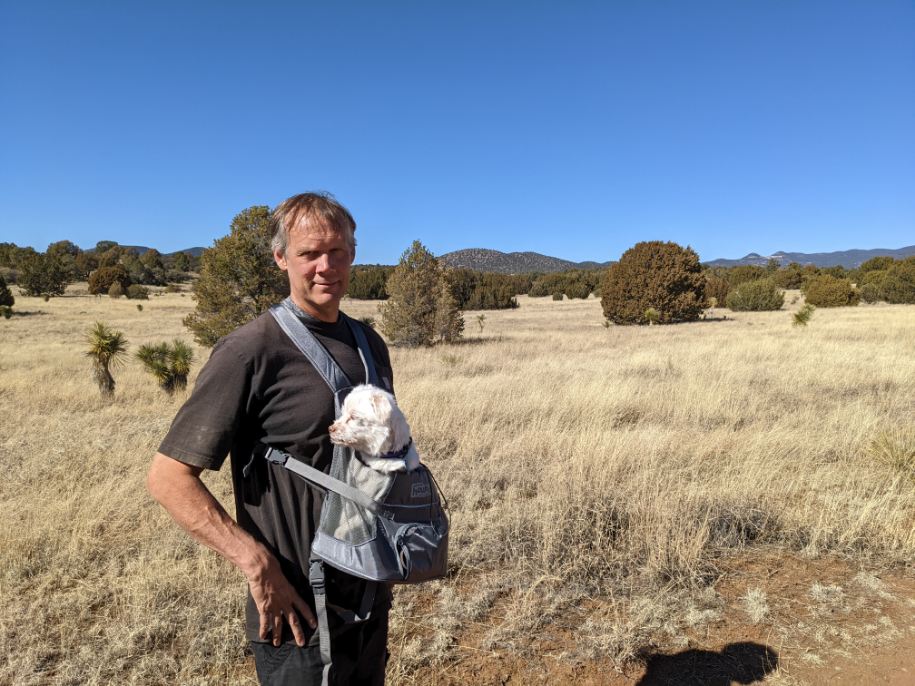
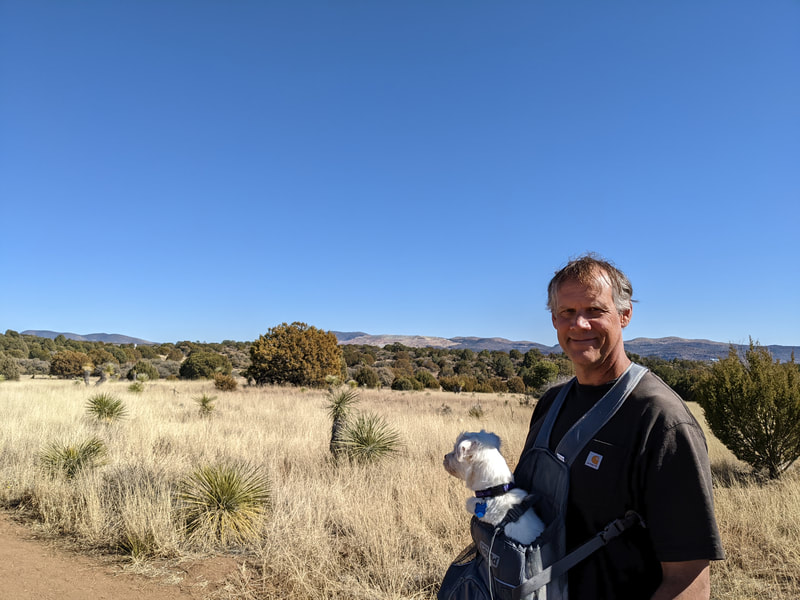
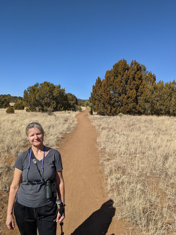
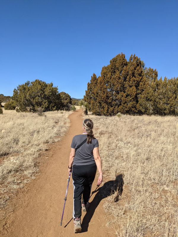
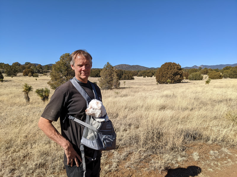
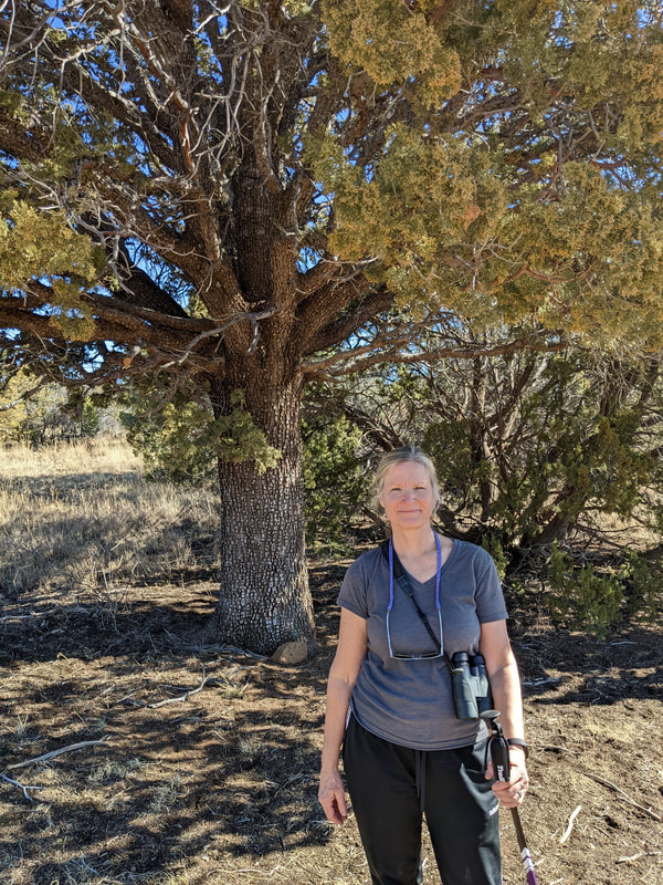
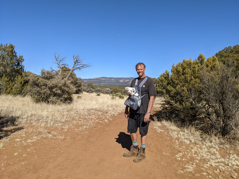
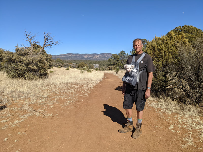
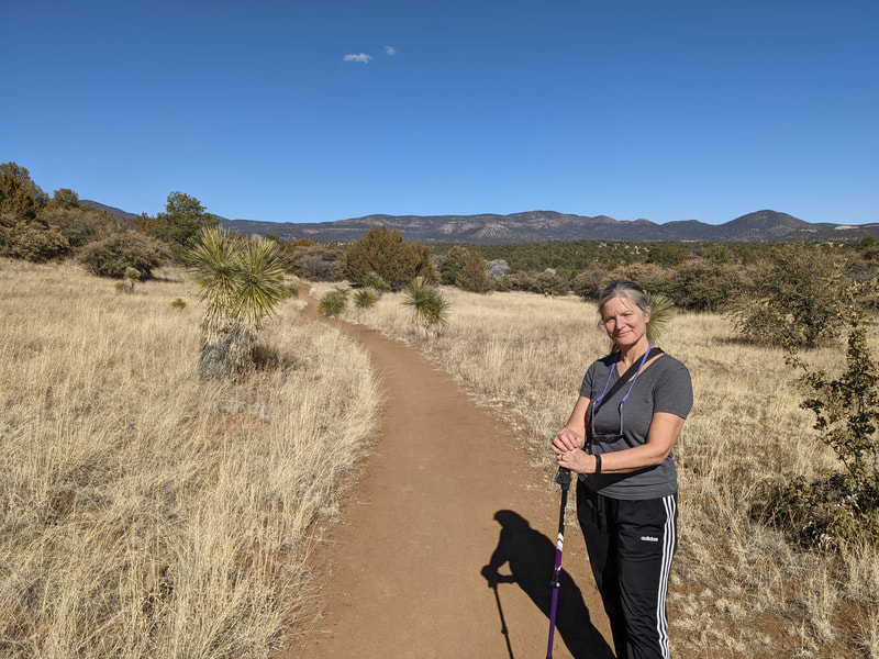
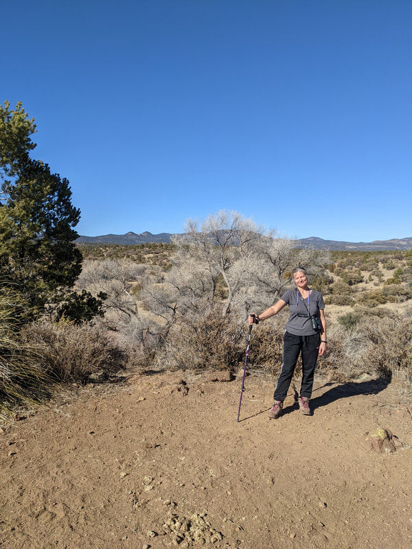
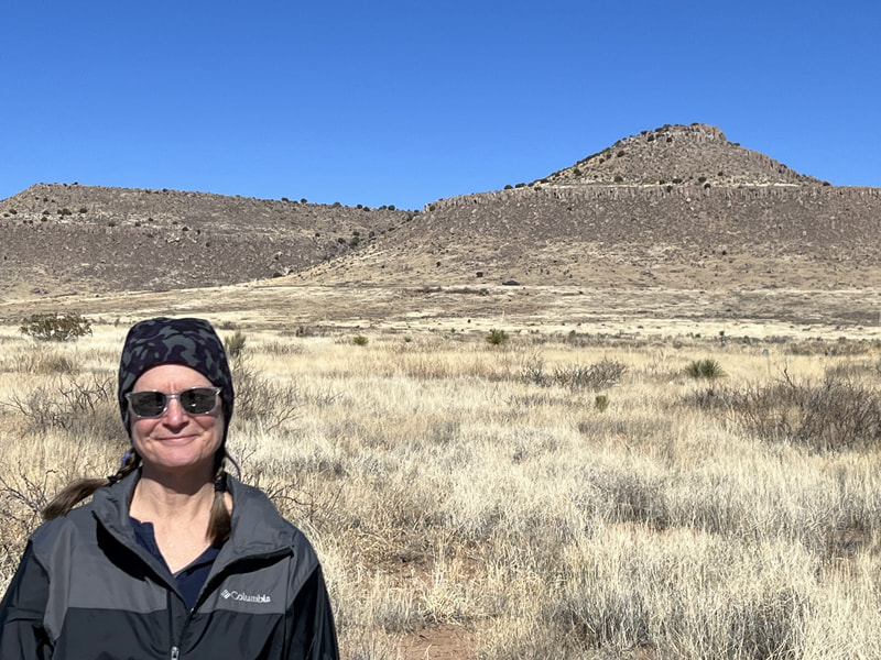
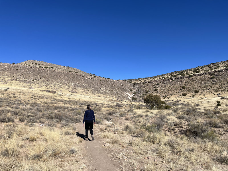
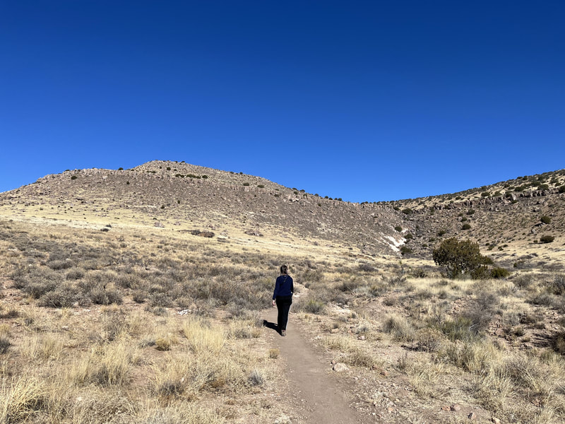
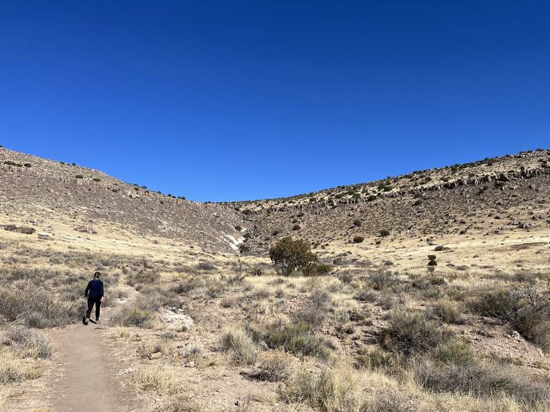
On our first full day in Silver City, we hiked the Dragonfly Trail. It was beautiful and so-named because of the 900 year-old dragonfly petroglyphs carved into stones along the trail.
On our first full day in Silver City, we hiked the Dragonfly Trail. It was beautiful and so-named because of the 900 year-old dragonfly petroglyphs carved into stones along the trail.
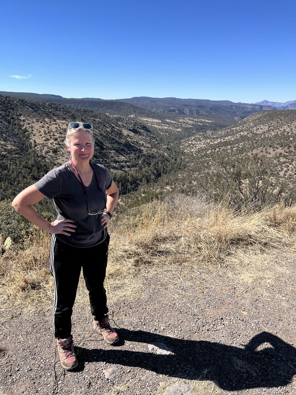
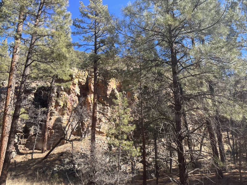
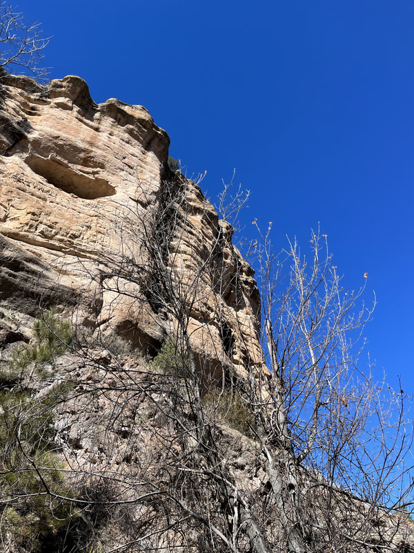
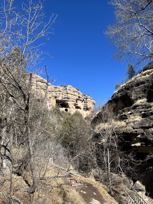
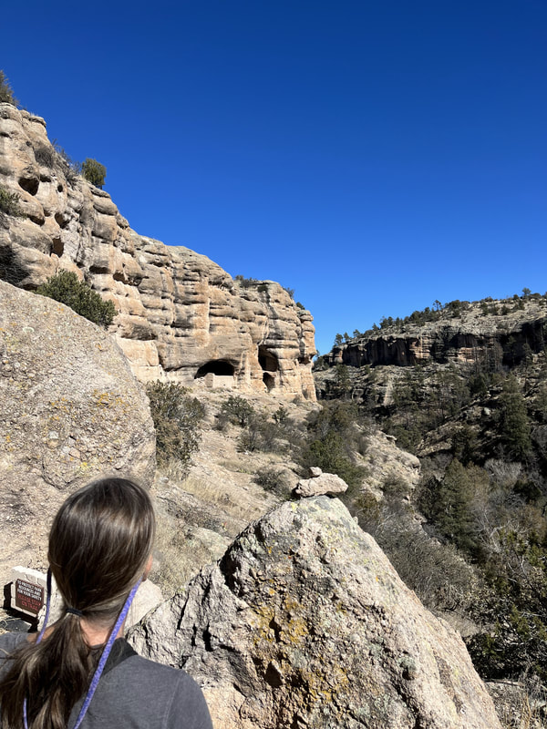
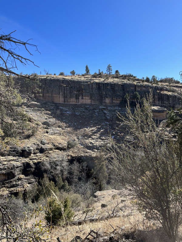
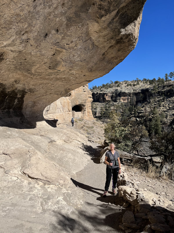
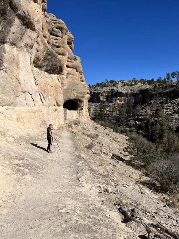
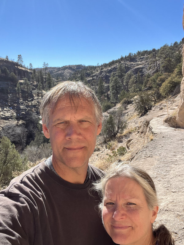
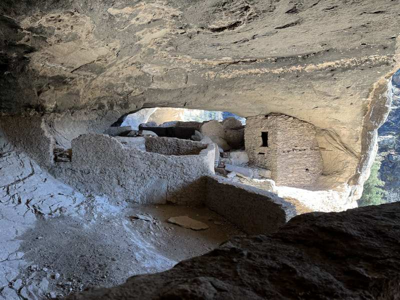
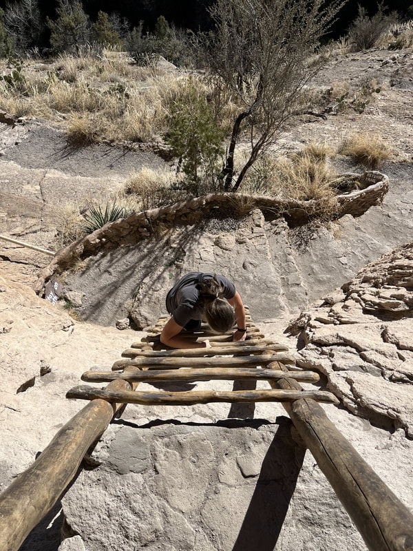
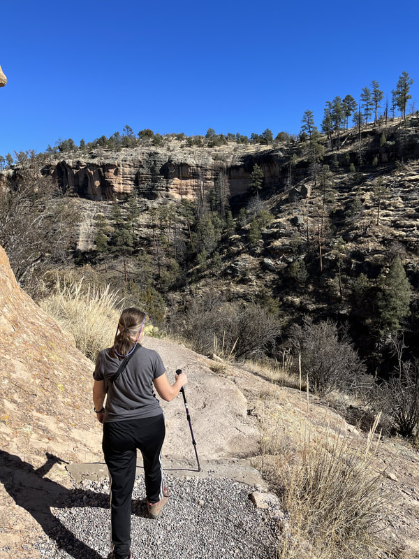
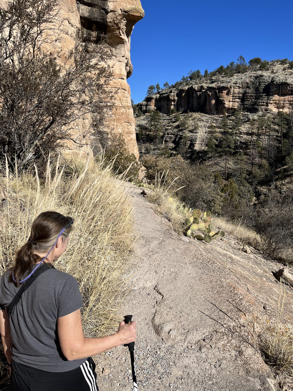
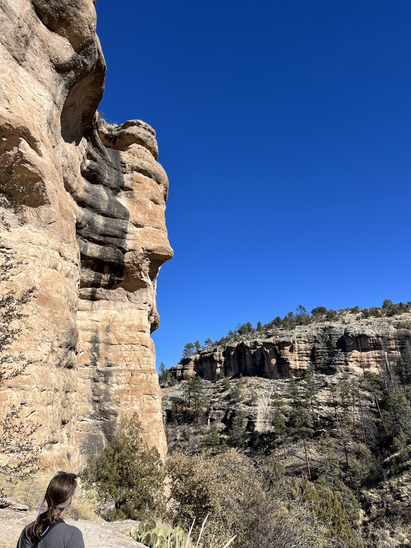
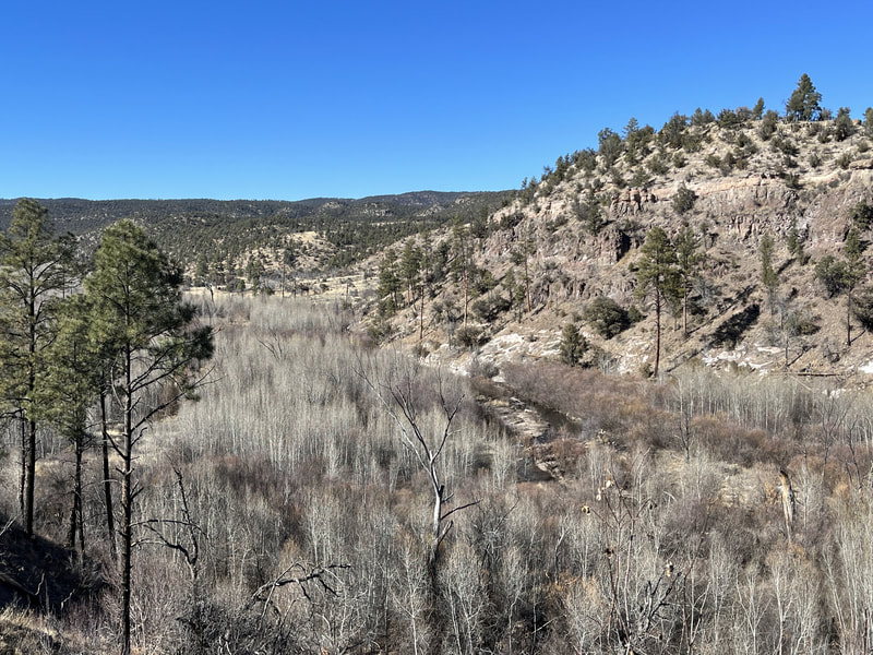
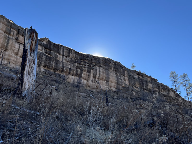
On the second day we hiked to the Gila Cliff Dwellings. It was another frightening drive through mountains to get there. My husband didn't think it was scary, so perhaps my amygdala was on high alert after the drive in to Silver City. The walk from the trailhead to the cliff dwellings was beautiful. The dwellings were cool; you could go inside them.
However, the walk ACROSS the rocks to get to the dwellings was TERRIFYING. You have to walk across a huge rock surface that is narrow, unlevel, covered in loose rocks, and bordered on one side by the cliff wall. It's high and you're dead if you slip and fall. NO handrail. WTF?
The trail on the way out of the dwellings is narrow in many places and near the cliff edge. Not as bad as in front of the cliff dwellings, but still a little scary. The drive back to camp wasn't as scary. Maybe I knew what to expect or maybe being on the other side of the road felt less like you could drive over the edge.
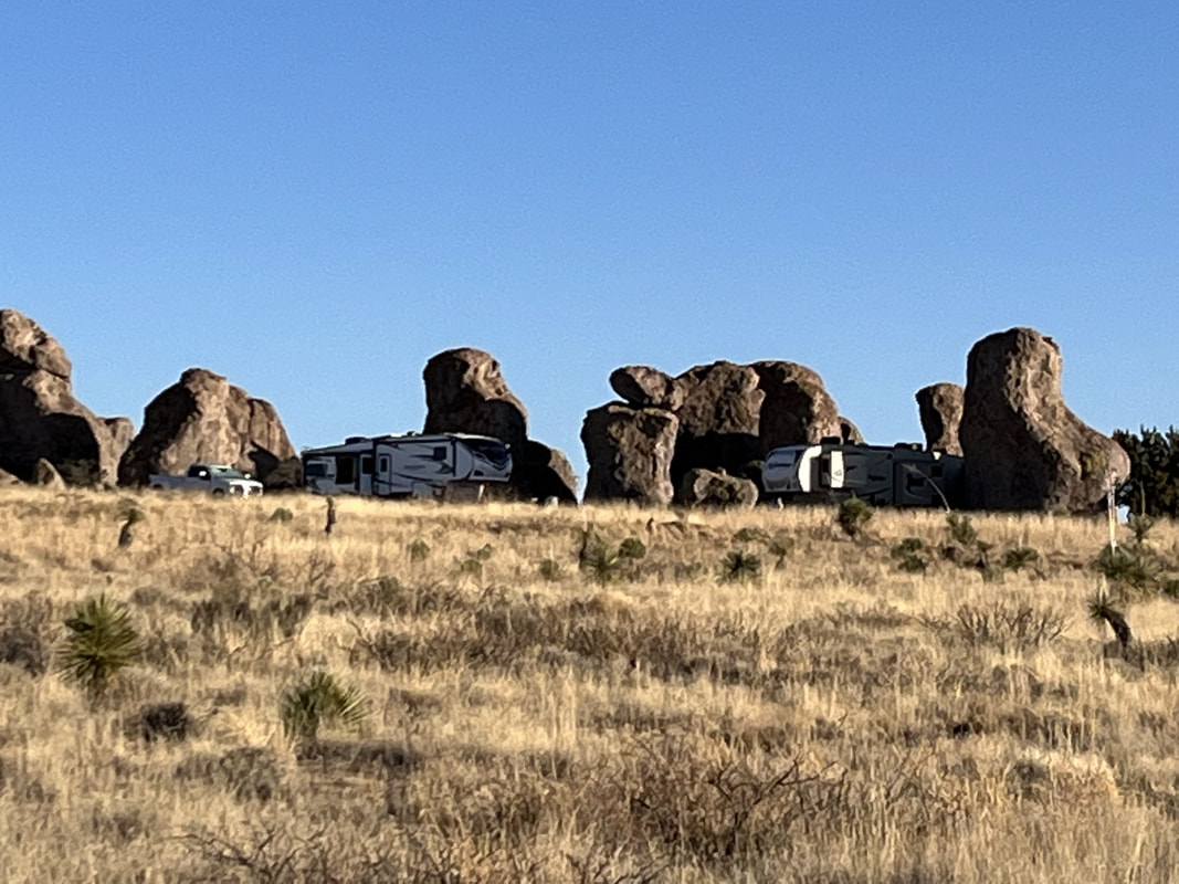
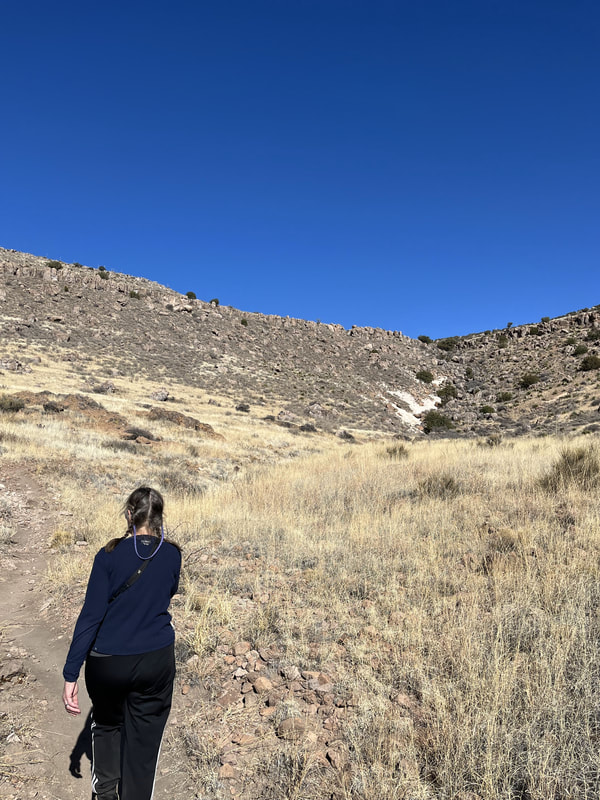
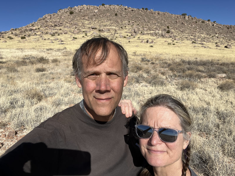
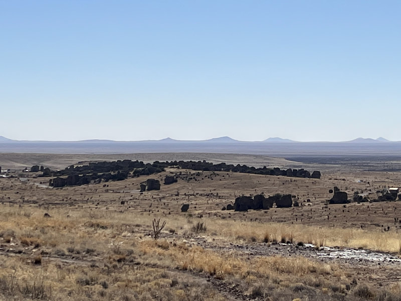
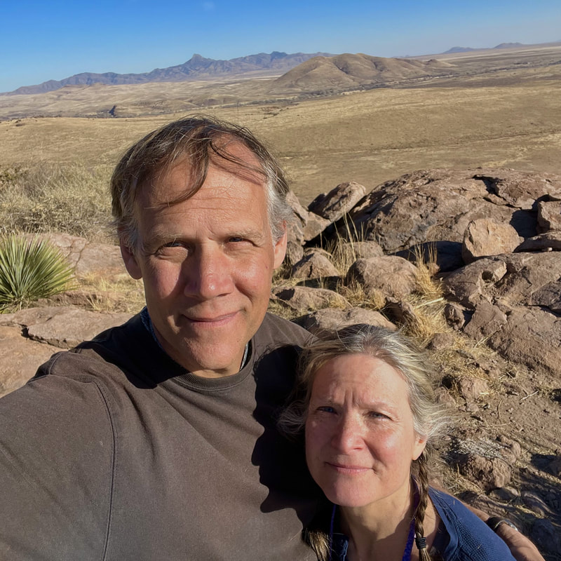
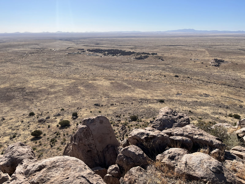
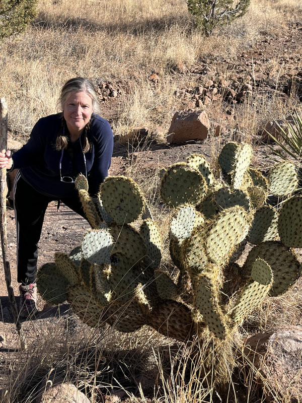
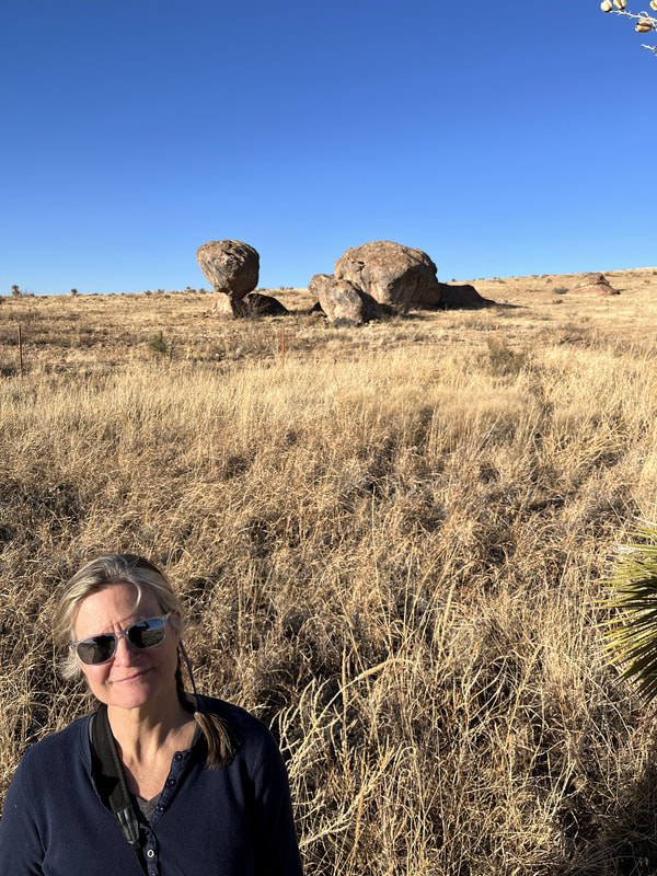
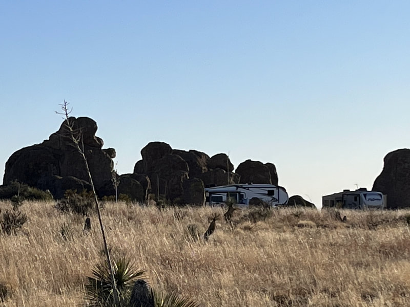
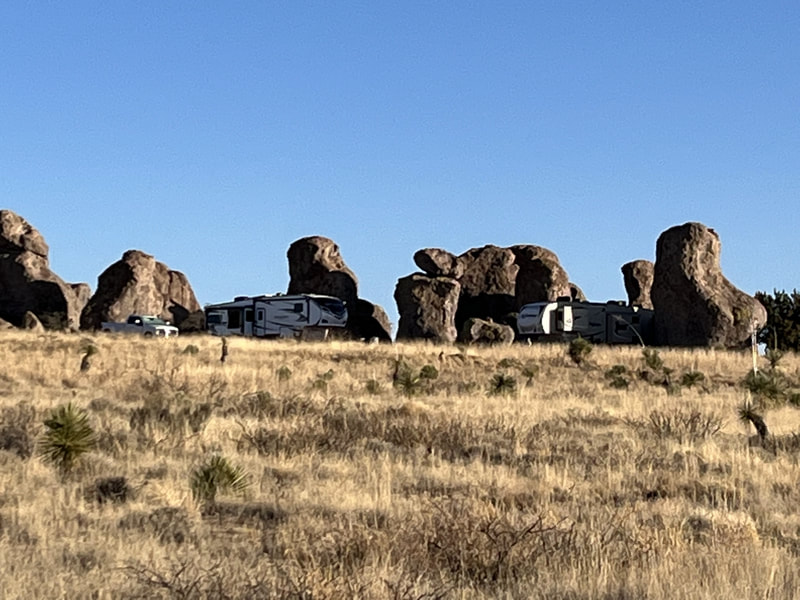
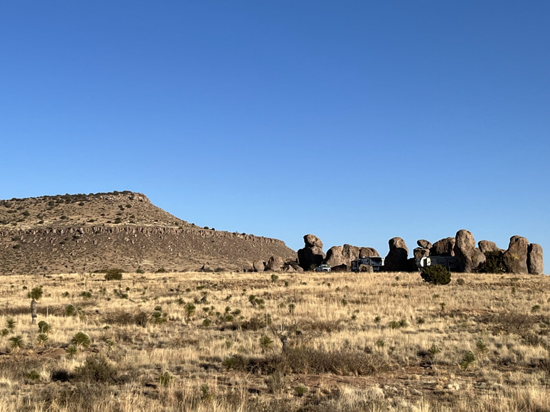
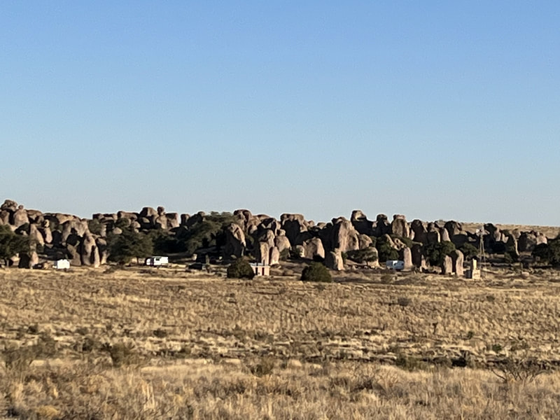
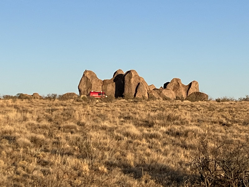
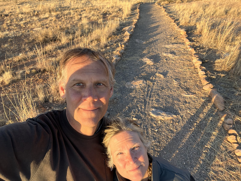
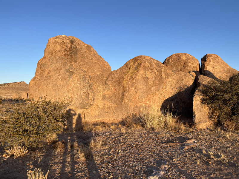
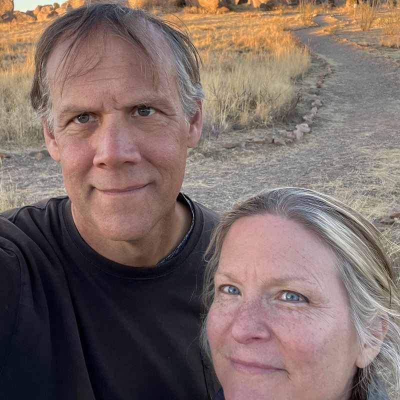
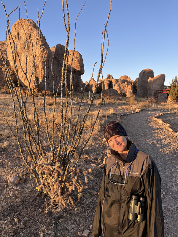
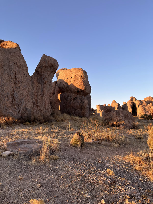
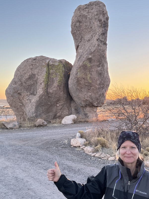
On our third day we went to City of Rocks State Park. It was an easy and quick drive to get there. First we took the Hydra Trail and next the Table Mountain Trail, a total of 6.5 miles, but a very challenging walk. The elevation of Table Mountain is 5,726. The Hydra Trail was level but covered in pebbles and rocks, which made walking a little more difficult. The rocks that give the park its name were amazing and fun to see, which we did from many perspectives throughout the walk. We also walked a couple of paths at the back of the KOA. They were fun and beautiful too. Cool rocks along the path and views were of low mountain ranges and desert houses.
On our fourth day we went into Silver City, had lunch, then went to Gomez Peak in the Gila National Forest and hiked. We went into Silver City thinking we could look around the "historic downtown" and grab lunch at an authentic southwestern restaurant. Downtown was depressing: many crafts stores that were closed because it's Sunday, lots of defunct businesses, and only one open restaurant, which served American food. We had Philly steak sandwiches and fries. Okay, not great. Tortilla chips and the hottest salsa evah.
We had stopped in at a Visitors' Center and the woman on staff recommended Gomez Peak. The hike was beautiful. The trail was very badly marked and someone we met on the trail said we should take Angel Point. I said we didn't want to go to the peak, just the loop around the mountain, but she looked like she didn't know what I was talking about. We took that trail, and it was clearly going to the peak. Once it got narrow, with a nearly sheer drop on the one side, I got nervous. When the path ahead was covered in snow, I refused to go higher. My husband would have done it no question, but I was done with danger. We walked back and then took the trail around the other side of the mountain. It was nice but eventually got too steep and narrow for me so we walked back. In general, a nice hike.
We had stopped in at a Visitors' Center and the woman on staff recommended Gomez Peak. The hike was beautiful. The trail was very badly marked and someone we met on the trail said we should take Angel Point. I said we didn't want to go to the peak, just the loop around the mountain, but she looked like she didn't know what I was talking about. We took that trail, and it was clearly going to the peak. Once it got narrow, with a nearly sheer drop on the one side, I got nervous. When the path ahead was covered in snow, I refused to go higher. My husband would have done it no question, but I was done with danger. We walked back and then took the trail around the other side of the mountain. It was nice but eventually got too steep and narrow for me so we walked back. In general, a nice hike.
As we were about to leave Silver City, we decided to make a new stopover in Phoenix so we could hike there. It was on our way, but of course we hadn't made reservations anywhere. I had hiked a trail in the Superstition Mountains many years ago when I was visiting my brother and sister-in-law; it was magical and I will never forget it. I really wanted to find that trail and hike it again!
So I tried to find a campground in the Superstition Mountains. We ended up at Usery Mountain Regional Park in Mesa, Arizona. We arrived on February 15. The park has a campground but it was full. Fortunately, there had an overflow lot with spaces, and we could stay there overnight, so we did. It would have been perfect except for the asshole next to us in his old-ass Flagstaff running his generator for 4 hours (while HE was gone).
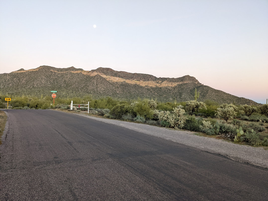
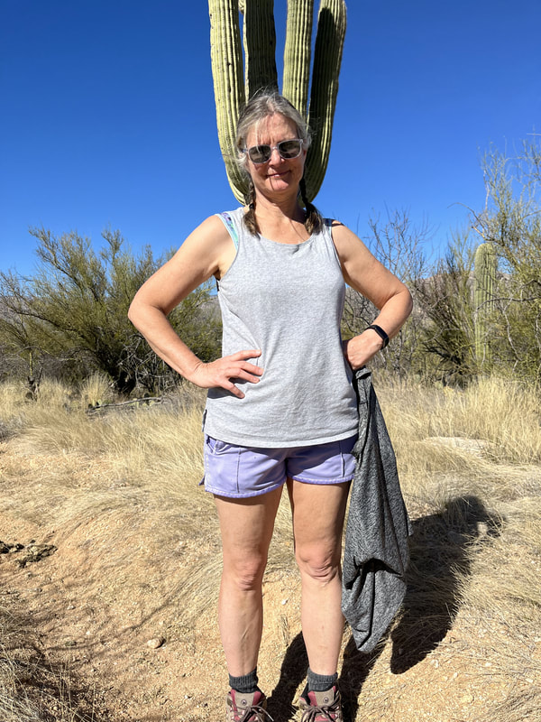
The next day, we hiked the most beautiful trails! Not the one of my memory, but still terrific. First we were on the Blevin Trail, a 3-mile easy hike on a rocky path surrounded by saguaro and other desert plants. Cool rock formations (Cat's Peak and others) rose up around us.
Then we did the Wind Cave Trail, rated "difficult." Oh boy. A gorgeous hike but steep. Some parts were VERY SCARY. Going down from the top was a nightmare for me. The cave was cool. We saw lots of chipmunks and some birds in there. On the way down we saw and heard a squirrel. Both paths had lots of hikers.
Then we got lunch at Nando's in Mesa. Tacos and enchiladas. They were so good!
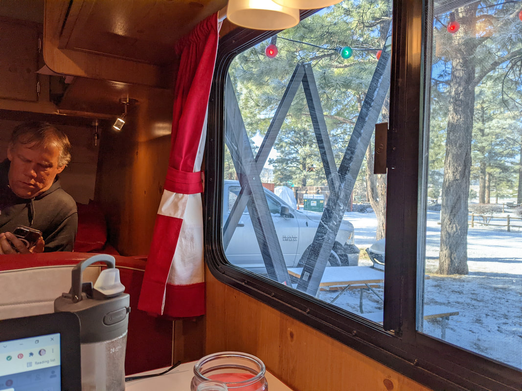
After lunch, we drove to the Williams KOA near Flagstaff, Arizona. We saw elk on the way! We also saw snow, which totally sucked. The KOA was big, but there were not a ton of people. The cold temperature might have been part of the reason. The management gave us a spot next to the trash bins for some reason. I was a little displeased though overall the campground was quite wooded and beautiful. The showers were clean and well-tended as usual.
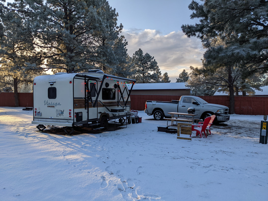
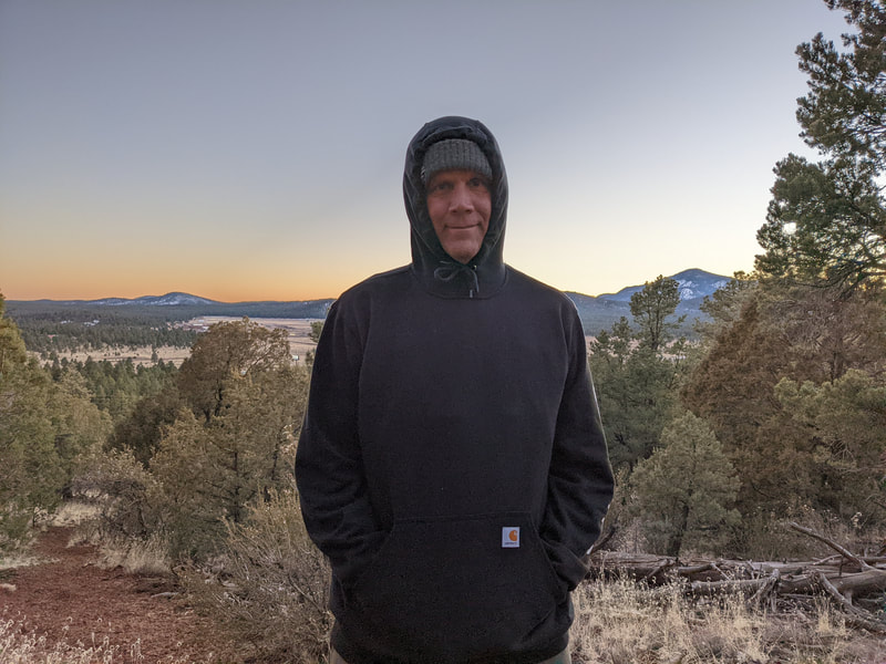
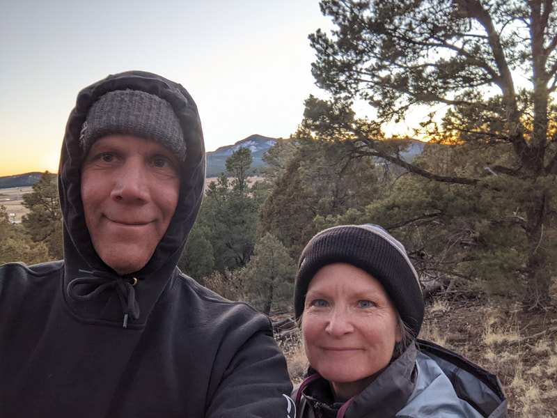
We woke up the next day and opened the door to an inch of snow on the ground. Not what we signed up for! We had planned to stay the rest of the trip (6 nights) at that KOA near the Grand Canyon. We wanted to be warm and hadn't realized we were too high and north for that in February. I went online and found an available spot in a KOA near Tuscon. We booked it and cancelled the last 4 nights of our Williams KOA stay.
We woke up the next day and opened the door to an inch of snow on the ground. Not what we signed up for! We had planned to stay the rest of the trip (6 nights) at that KOA near the Grand Canyon. We wanted to be warm and hadn't realized we were too high and north for that in February. I went online and found an available spot in a KOA near Tuscon. We booked it and cancelled the last 4 nights of our Williams KOA stay.
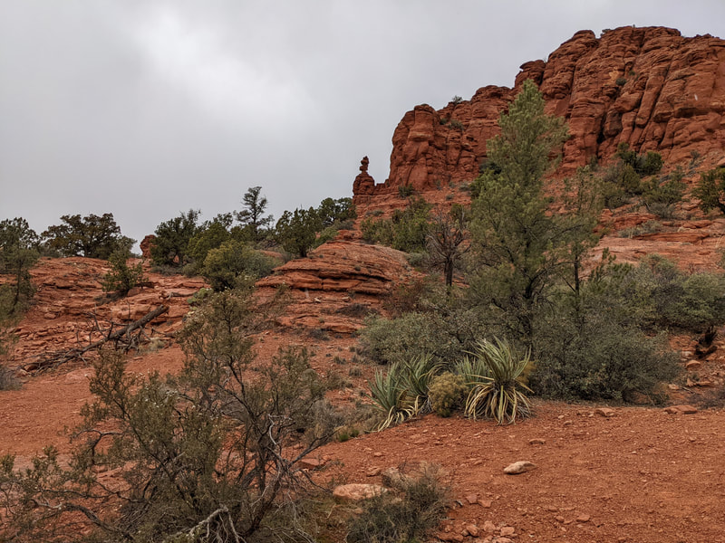
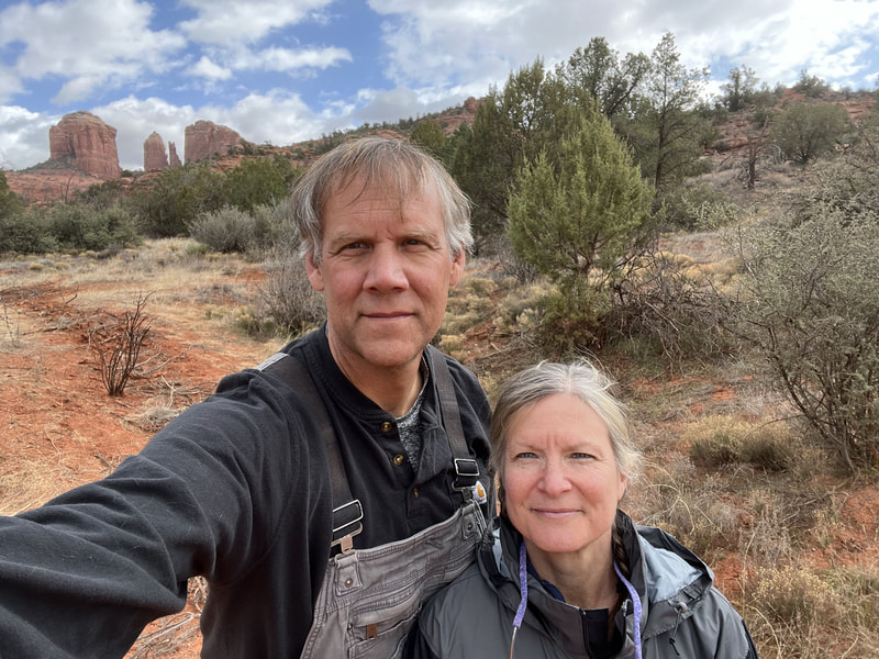
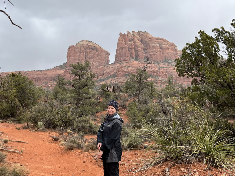
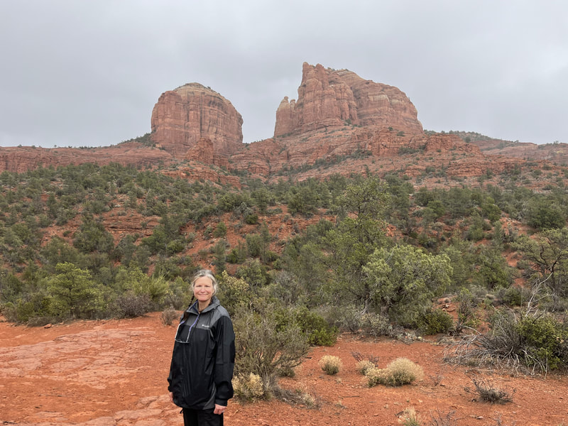
During our time at the Williams KOA we needed one day for the Grand Canyon so we had one other day to hike elsewhere. I searched online for a bit and could find no good trails to hike nearby. We decided to head to Sedona. So glad we did. It was amazing!
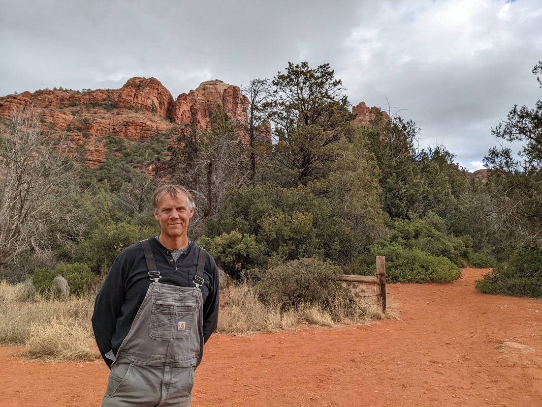
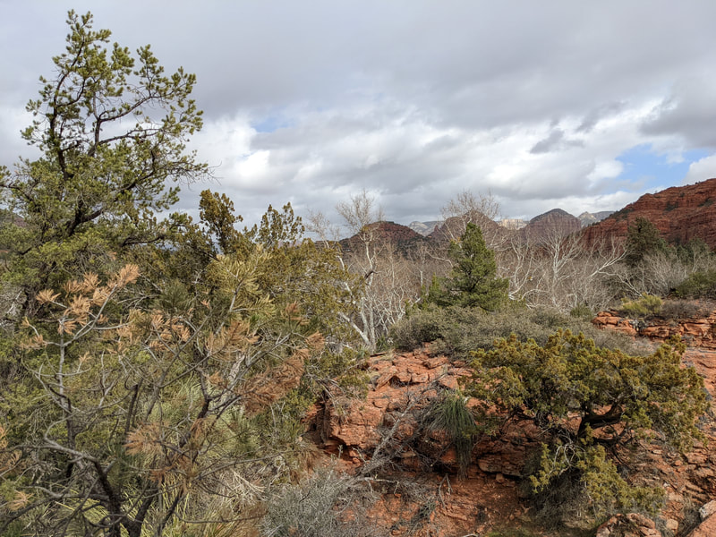
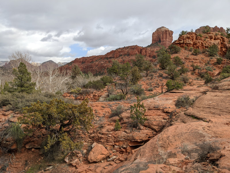
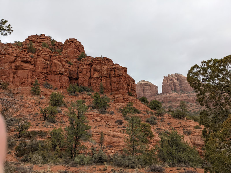
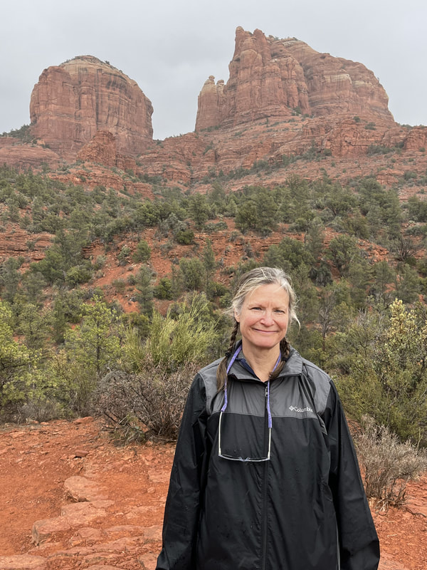
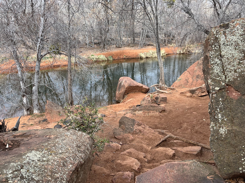
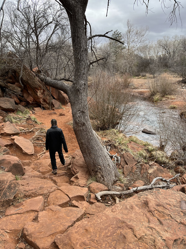
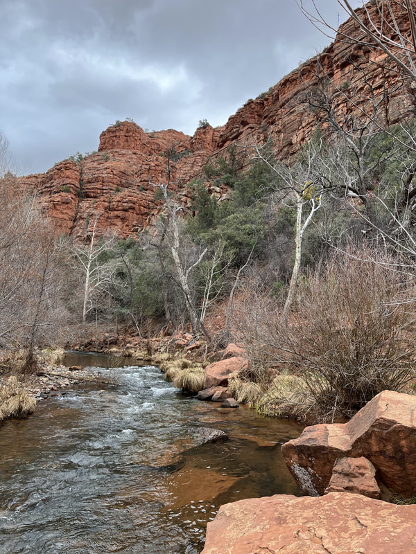
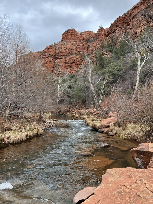
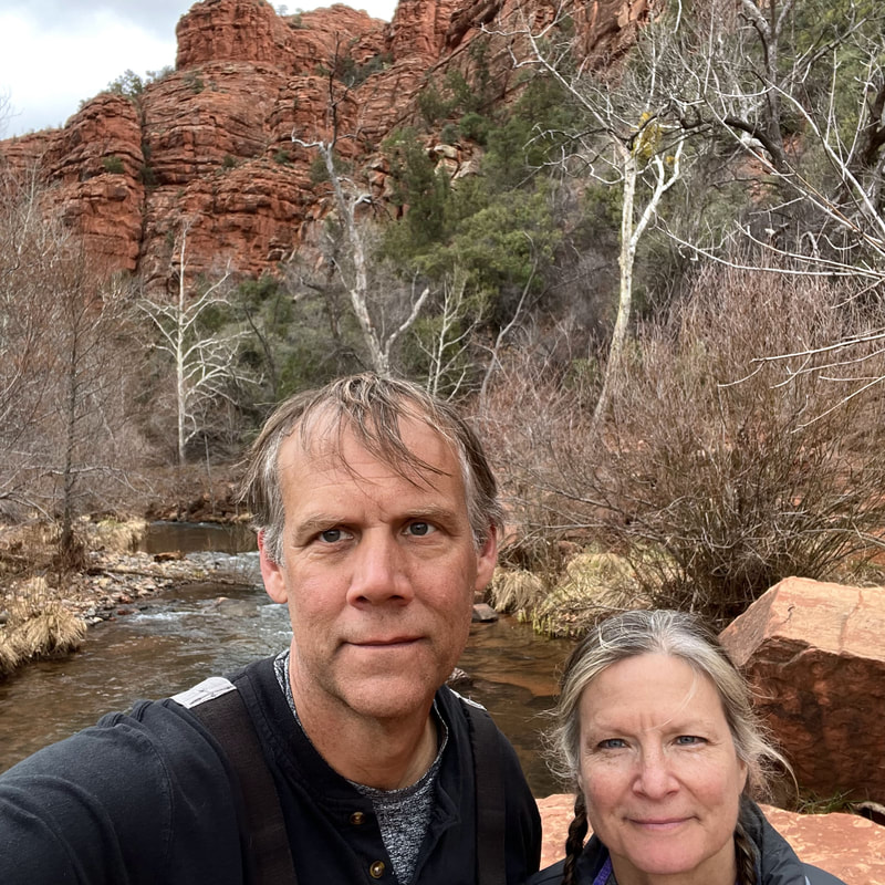
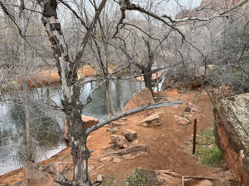
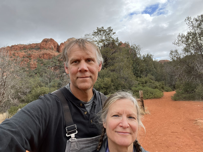
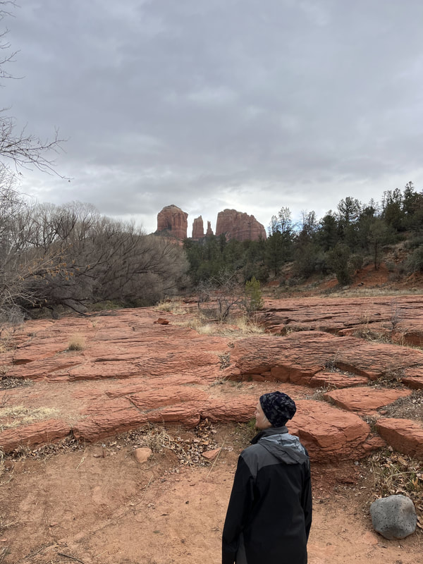
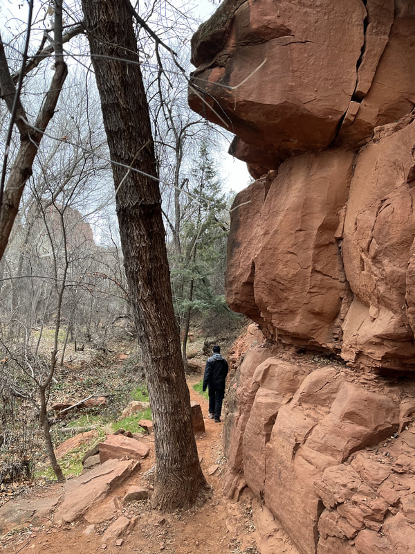
We hiked the Baldwin Loop, a bit of Templeton, and the Crescent Moon. Stunning!!! The trails were sometimes hard to follow but we managed. The hikes were around Cathedral Rock. All scenery was stunning near Sedona. Oak Creek was beautiful and clear (we saw it on Templeton).
We hiked the Baldwin Loop, a bit of Templeton, and the Crescent Moon. Stunning!!! The trails were sometimes hard to follow but we managed. The hikes were around Cathedral Rock. All scenery was stunning near Sedona. Oak Creek was beautiful and clear (we saw it on Templeton).
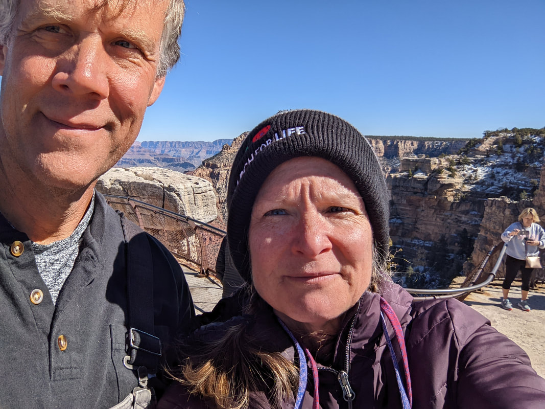
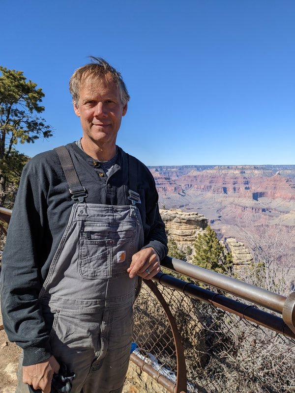
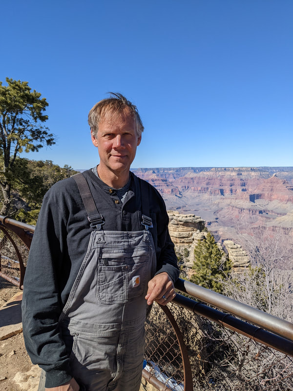
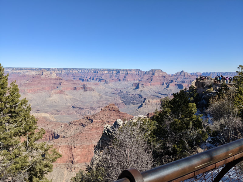
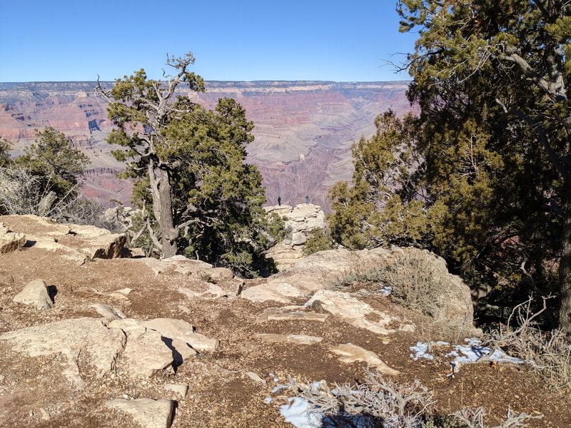
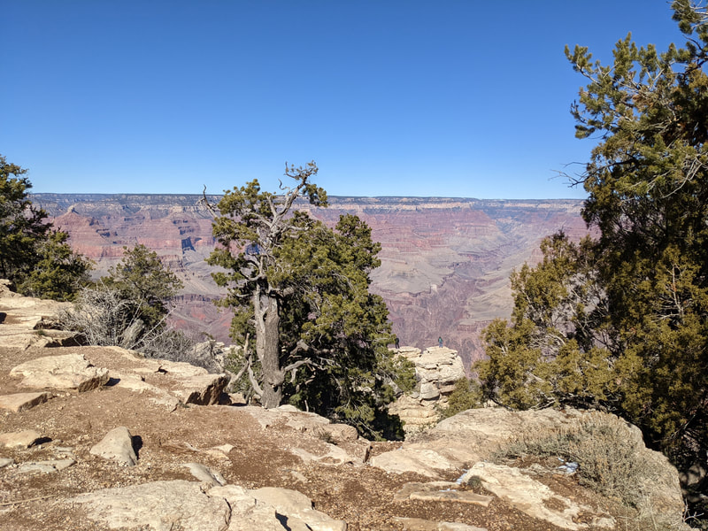
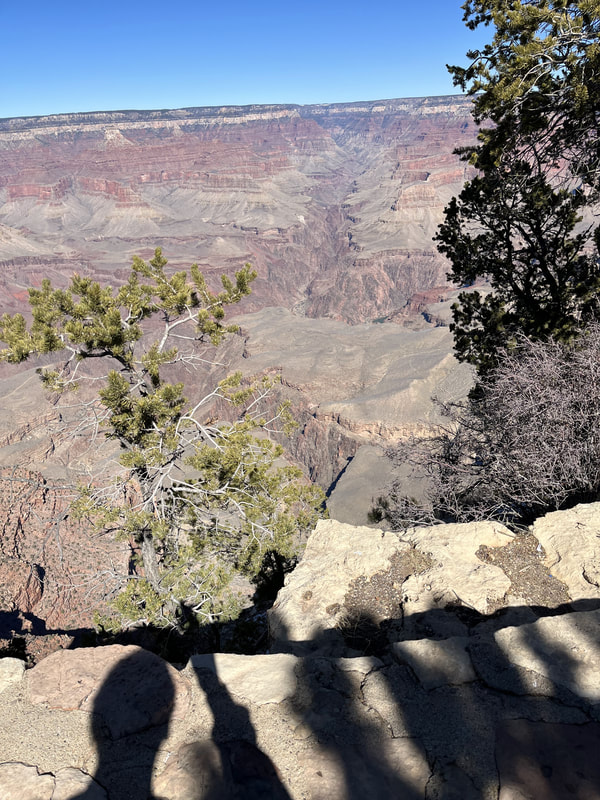
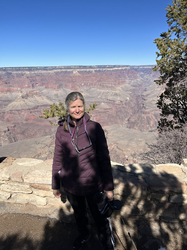
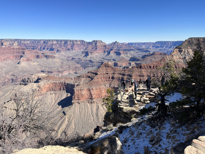
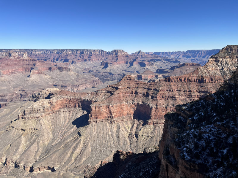
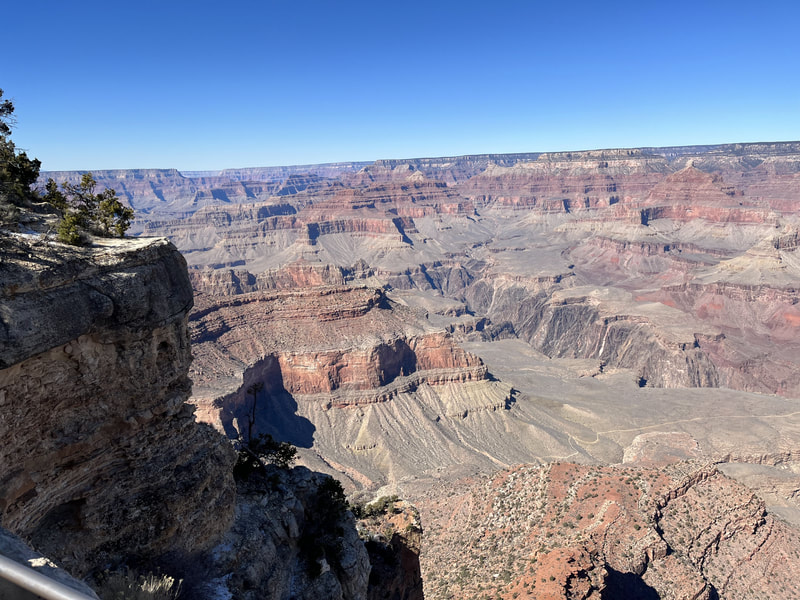
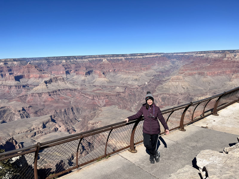
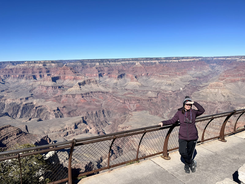
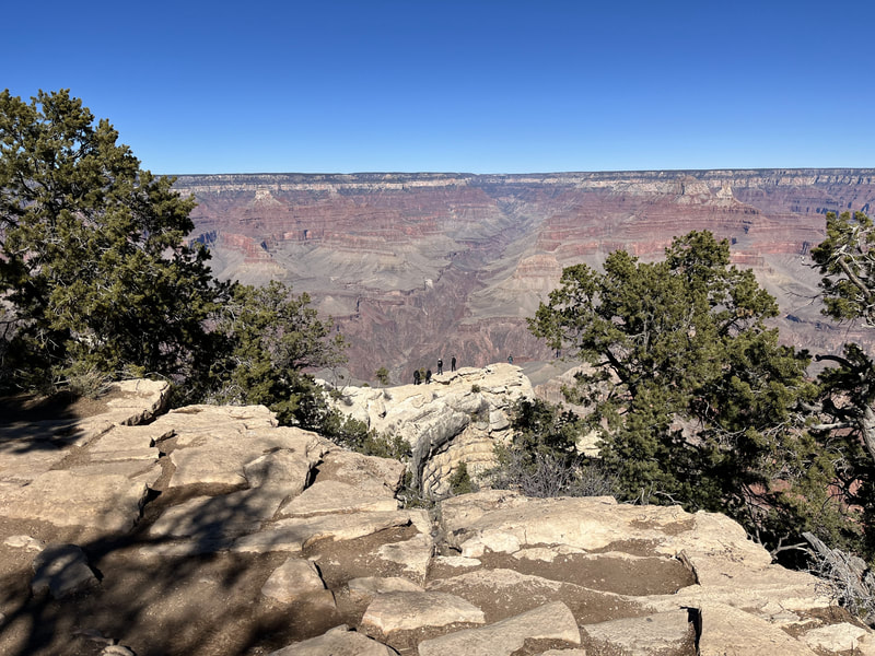
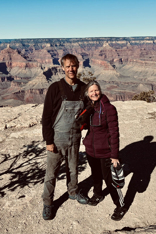
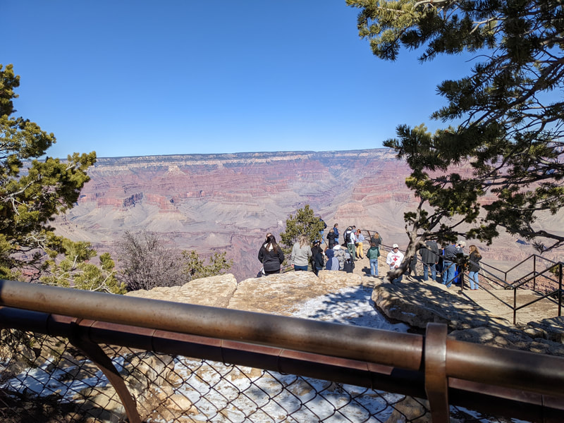
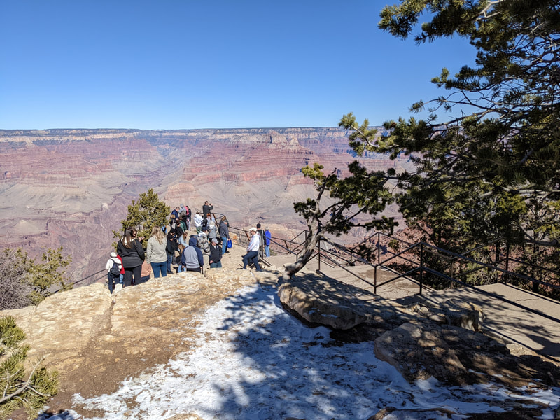
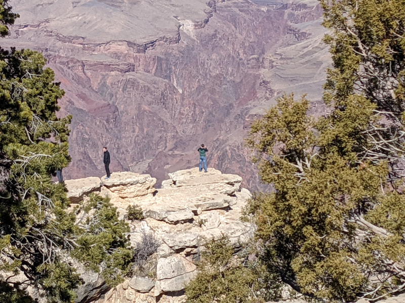
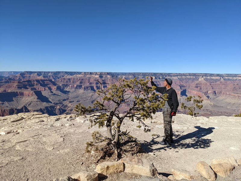
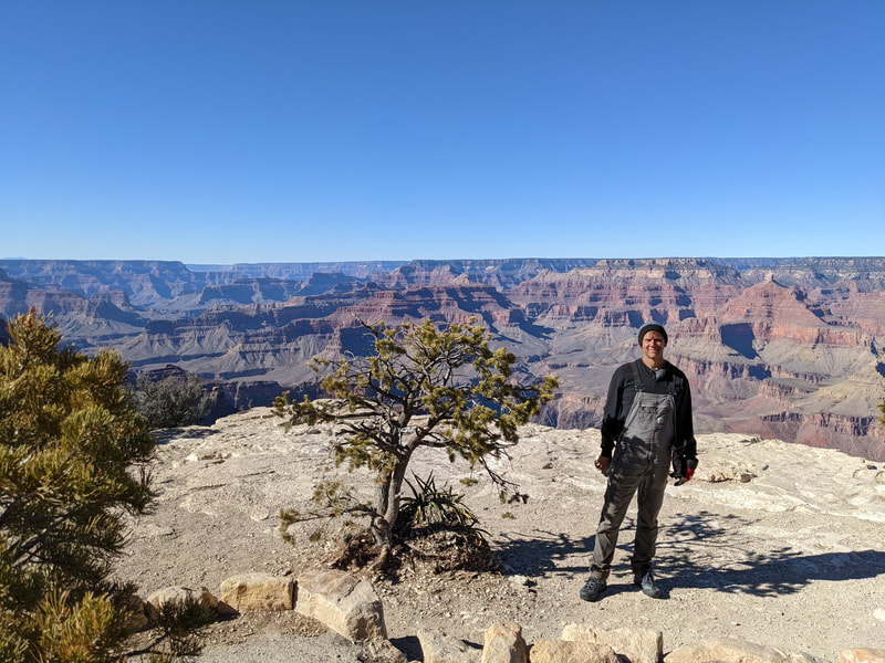
The next day we headed to the Grand Canyon! Scott had seen it before; it was my first time. Even though I had read about the fabulous Bright Angel Trail, I feared it was narrow and scary and I had also read about the need for hiking crampons so I wasn't going to risk it. We walked the rim trail, starting at the geology museum, going as far as Mather Point, and then returning. We put The White Ingrate in the car and headed the other direction on the rim trail. We didn't go very far before it started to get scary, too close to the edge of the Grand Opening to Fall Into. We headed back. It was magnificent and very beautiful and I am glad I saw it in person, but after 45 minutes I felt I had gotten the picture. Maybe I was just tired.
There were a lot of crazy people at the Grand Canyon.
We drove back to camp and walked the trail at the back of the KOA. It turned out to be an awesome trail! It was a very comfortable surface. It went through the woods to the top of the peak. We almost made it to the top, but it was getting dark, so we turned around. The views were great, and it was good exercise. We had to use the flashlight on the last fifth of the trail. Scott estimates the mountain was 400 feet high.
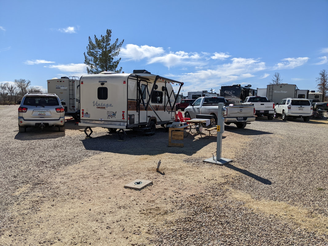
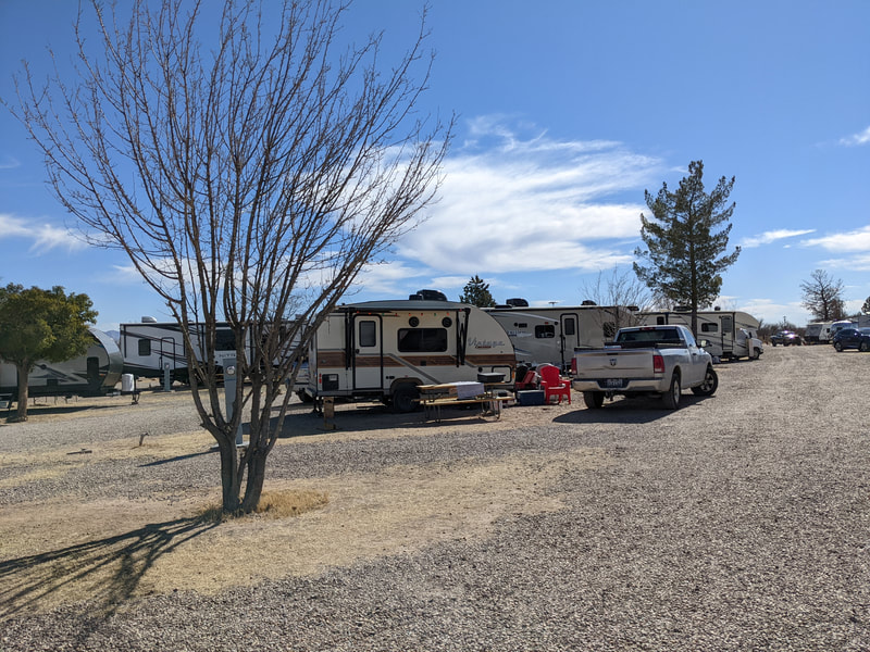
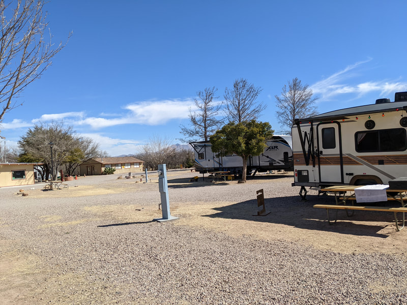
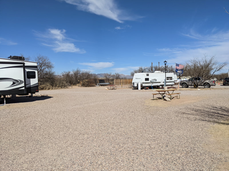
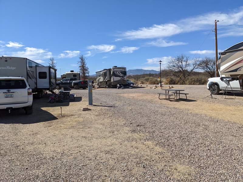
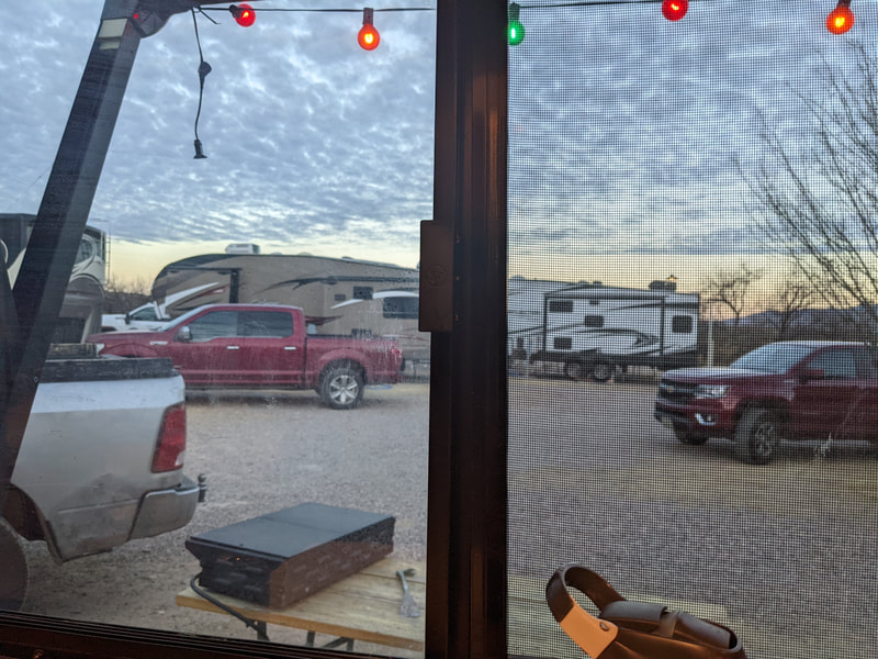
The next day we drove from the Williams KOA to the Benson KOA near Tucson. The Benson KOA was a bit of a letdown from the other KOAs we'd been to, although nicer than many of the RV parks we had passed on the highway driving through Arizona. They looked pretty depressing: lots of RVs packed in like sardines, very little vegetation, and dust all around. The Benson KOA was smaller, but the RVs were pretty close together. The showers and toilets were fine. There was a laundry and a utility tub for doing dishes. The other campers were quiet.
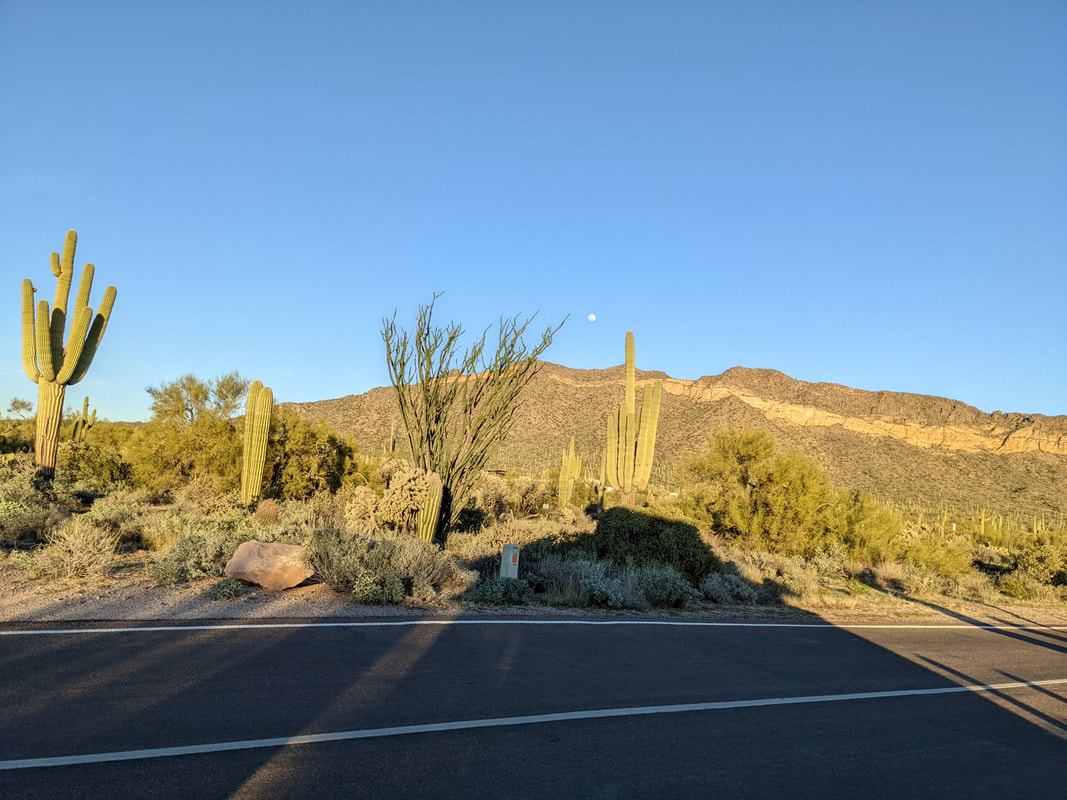
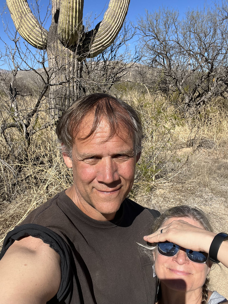
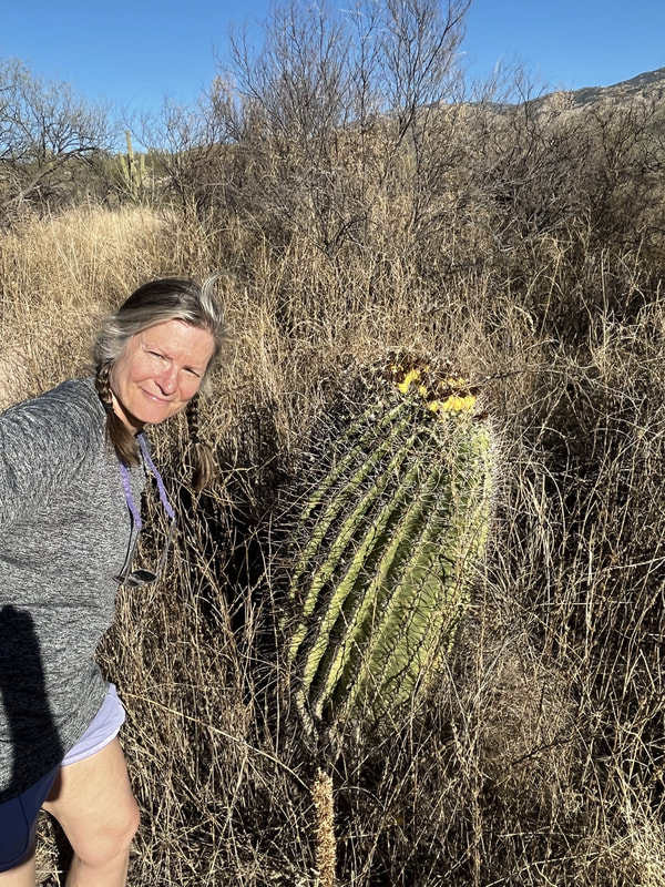
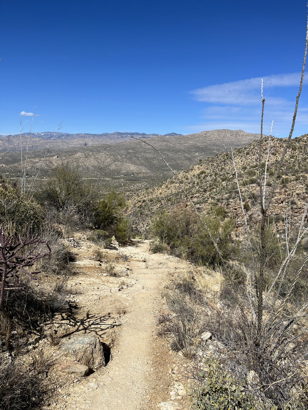
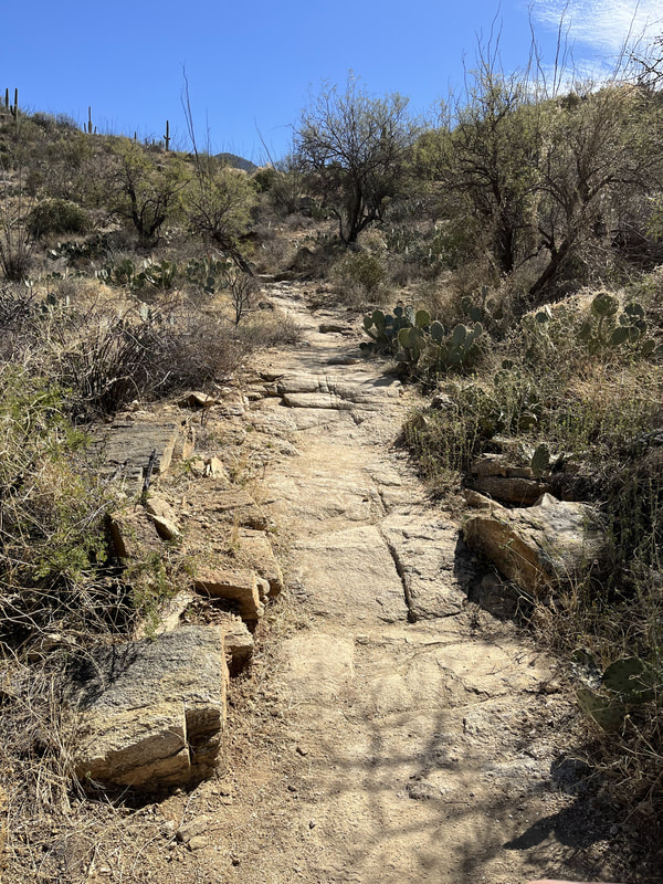
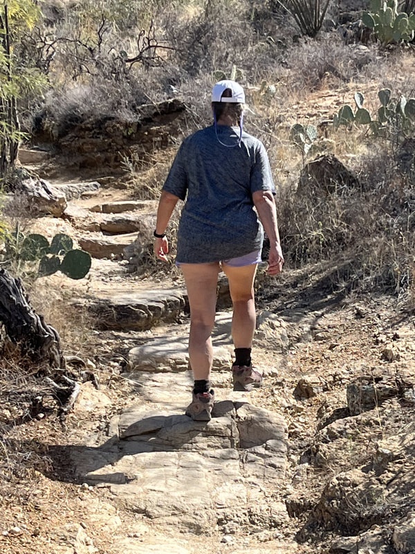
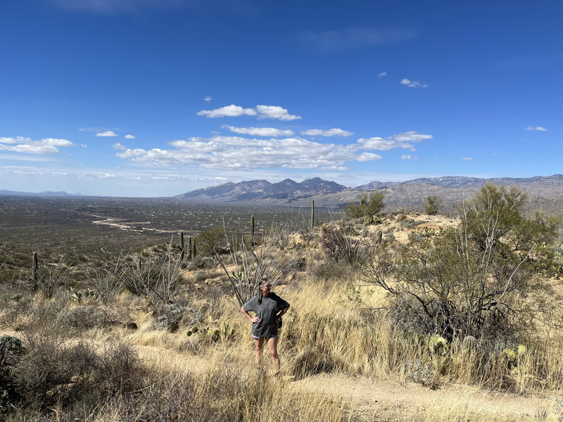
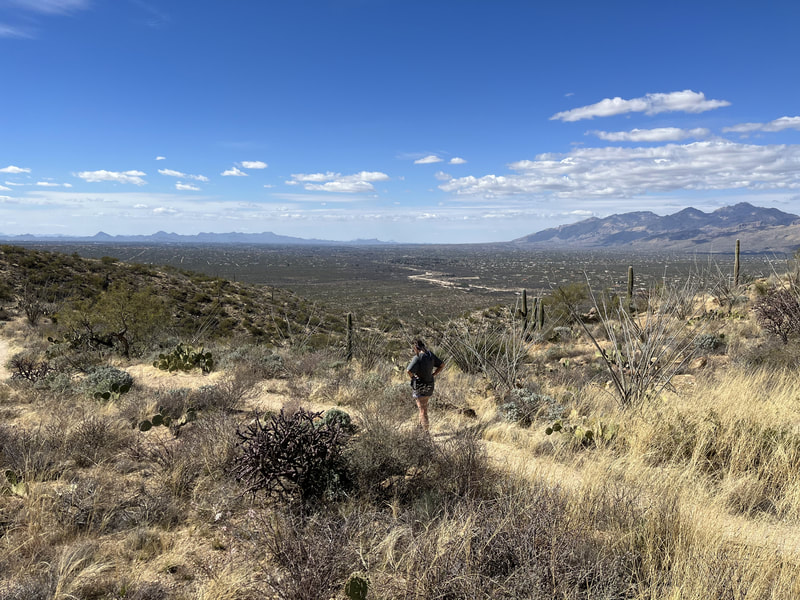
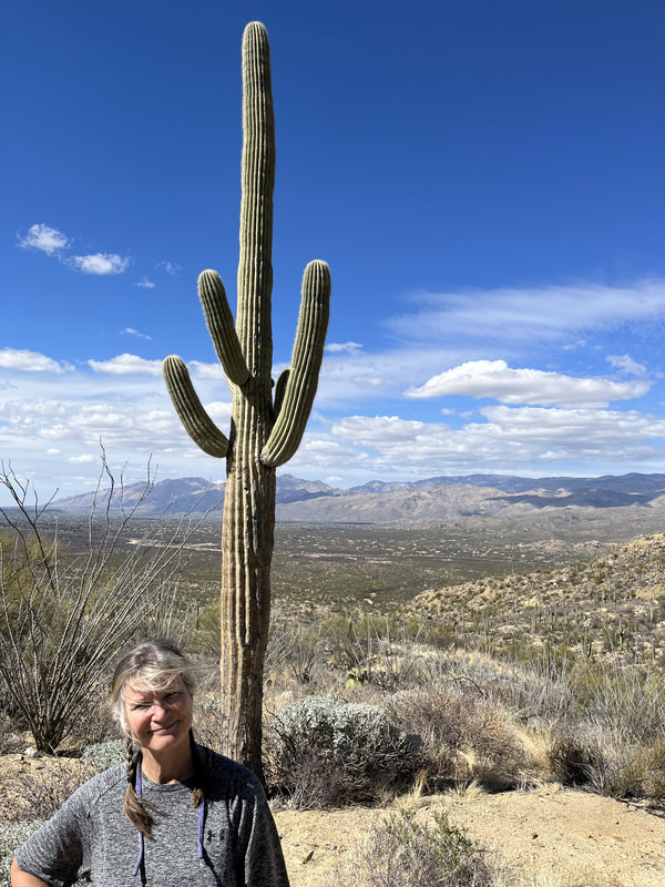
On our first full day in Benson we drove 1 hour to Tucson and into the Saguaro National Park. We found a hike on All Trails, but it was difficult to locate on the ground. (Our daughter later showed us how to use the real-time navigation feature.) We located the trailhead and walked for about 3 hours. The trail was awesome. It was very sandy in places, and we followed a wash for a long way, which was rocky. The scenery was beautiful, mountains all around, saguaro, prickly pear, bushes, and trees. Lots of cool rocks so we picked up a bunch. When we left the wash and got back on the trail, it was so beautiful. We tried to stay mostly on the Schantz Trail, ended up on the Deer Valley Wash, followed Squeeze Pen Trail to Kennedy, then back to Shantz.
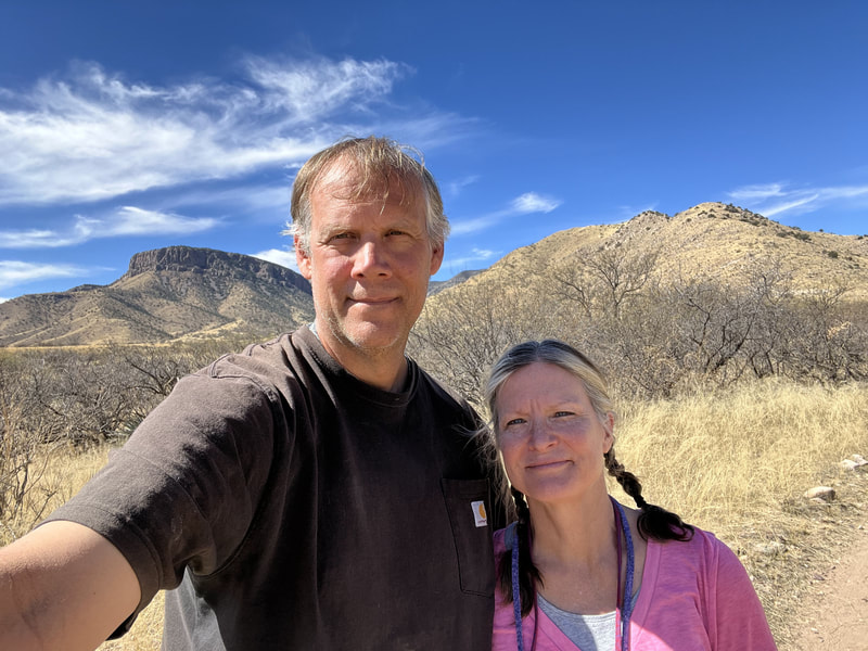
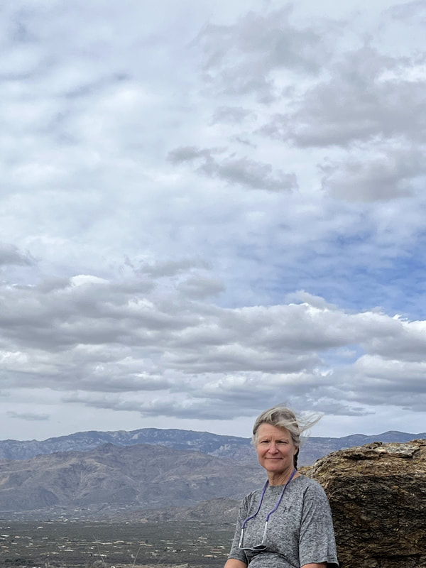
The next day we headed to Kartchner Caverns State Park. We took the Guindani Trail, which went about 4 miles around and up the small mountain. First it went up, pretty steeply with some narrow ledge-like bits and great views, then it reached the high point and went through the "saddle" and then we descended through a more tree-filled canyon, also beautiful. Once at the bottom, the trail went another 2 miles on flat and very rocky ground. It was a great hike, and we saw agave and prickly pear and some small cactuses that looked like budding mini saguaro. We saw cows and lots of cow pies along the trail.
The next day we returned to Saguaro National Park and did a loop consisting of the Douglas Spring Trail, Carillo, Squeeze Pen, Kennedy, and Shantz. It was terrifically beautiful and a good workout. We started with a steep climb and then we were in the "mountain" tops and saw several peaks. Great views and not scary except the initial climb a tiny bit. I was tired when done.
The next day we returned to Saguaro National Park and did a loop consisting of the Douglas Spring Trail, Carillo, Squeeze Pen, Kennedy, and Shantz. It was terrifically beautiful and a good workout. We started with a steep climb and then we were in the "mountain" tops and saw several peaks. Great views and not scary except the initial climb a tiny bit. I was tired when done.
The next day we did the Kartchner Cavern tour. It was interesting, and the cave was cool. I am not too thrilled by caves in general. I learned that the mountains in this area are all sedimentary, which surprised me! Then we went to McDonald's for lunch, let the dog out at the campground, then returned to the Guindani Trail again. We went same direction, clockwise, with the steep climb at the beginning, stunning views, and an easy descent on the other side through the beautiful canyon. The descent is longer, and the hike was 2 hours.
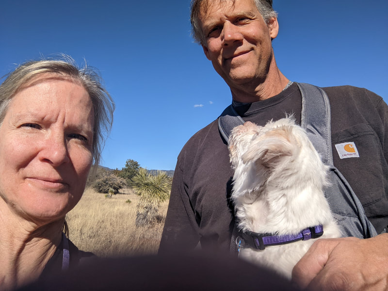
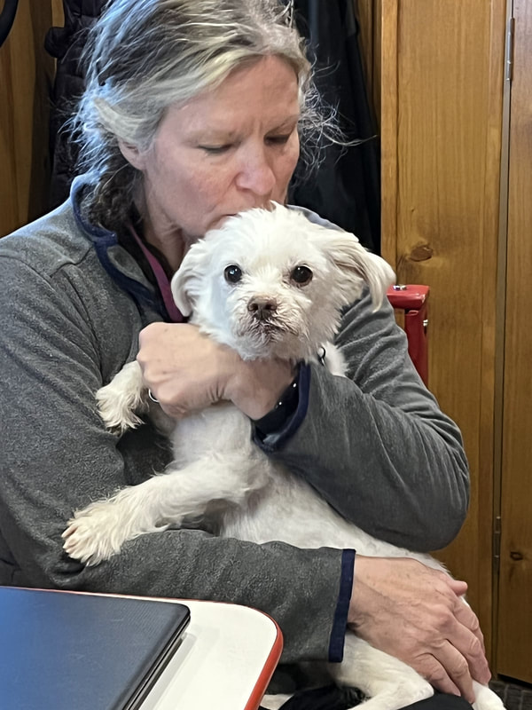
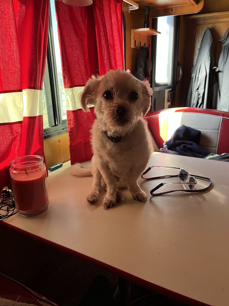
Someone is not well-behaved when we are gone.
Someone is not well-behaved when we are gone.
The next day we headed home, staying in Cracker Barrels along the way. Driving was okay until we go to St Louis, where the roads were icy and it was super scary.
