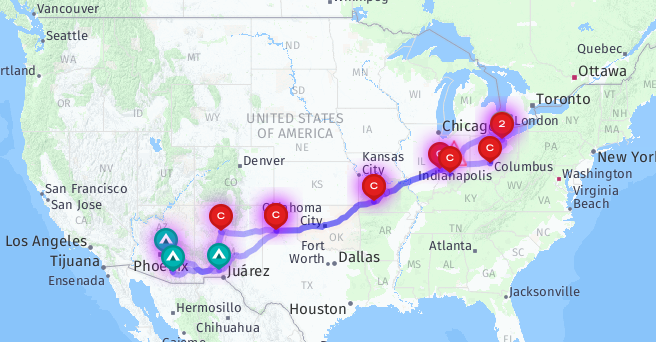
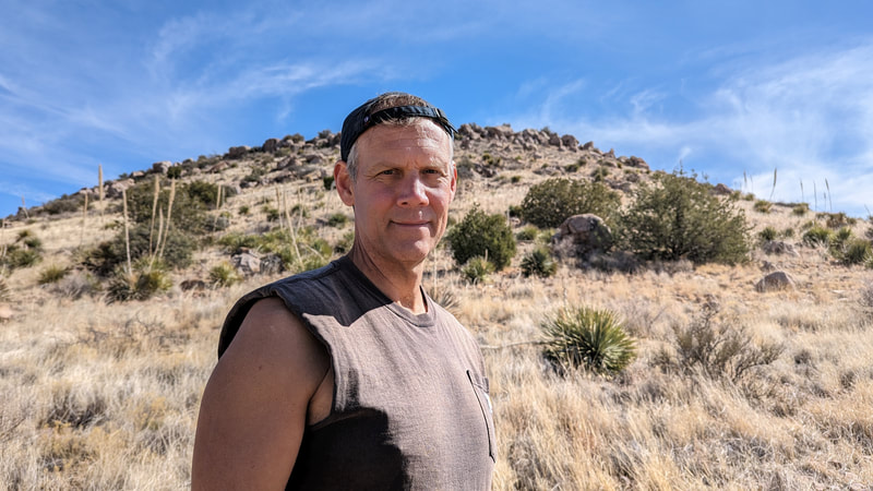
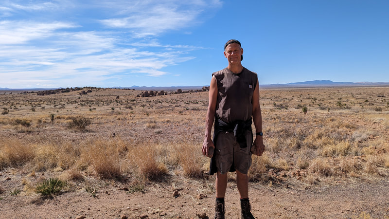
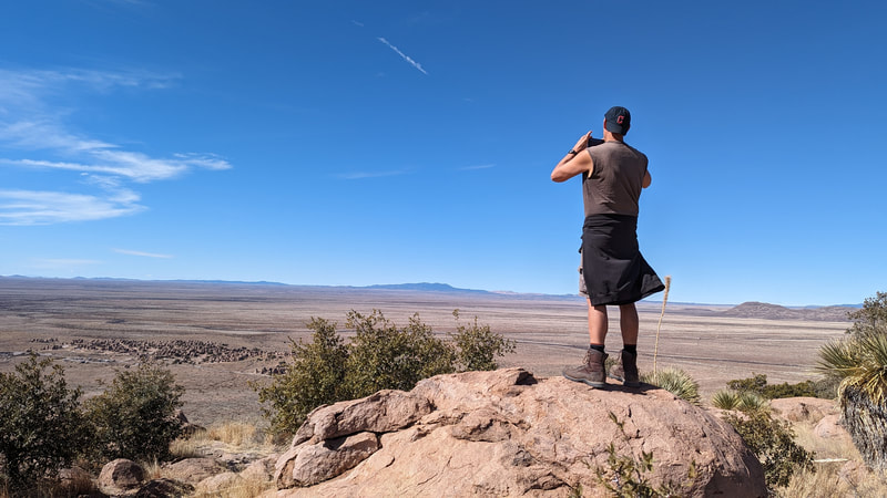
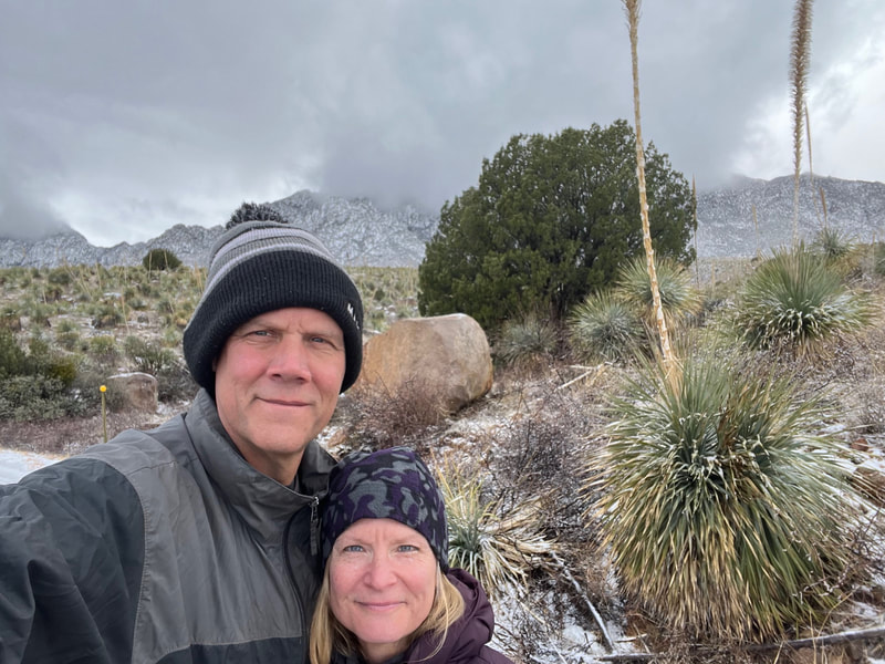
Our plan for this year's February trip was to get to warmth as quickly as possible. I mapped out various Cracker Barrel stops to three final weeklong destinations (Las Cruces, Phoenix, and Tucson), and then various Cracker Barrel stops to home. As per usual, the plan was adapted once we got going.
First stop: Cracker Barrel, Columbus
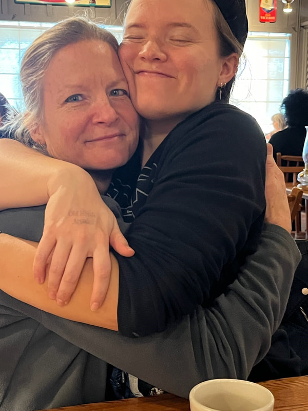
The plan was to stop first in Columbus to visit our daughter, which we did. She had plans the Friday we arrived, so we only got to see her for breakfast. We had a great breakfast and a lovely visit.
Second stop: Cracker Barrel, Bloomington, IN
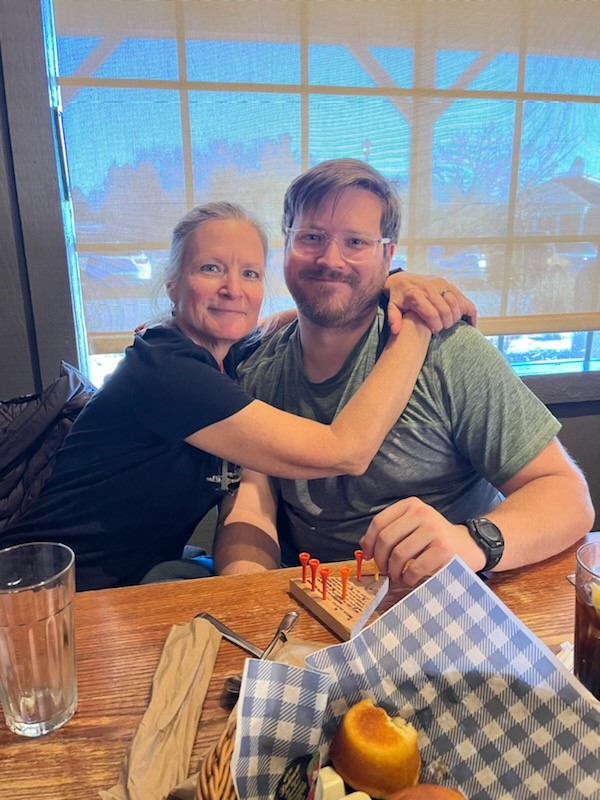
Then it was on to Bloomington to see our son. We arrived early enough to go for a long hike with him and then get dinner at the Cracker Barrel. We went back to his apartment, where he and his dad watched their show and I chilled. Like literally and figuratively because he keeps the temperature at like 55 degrees. Anywho.
Third stop: Cracker Barrel, Oklahoma City
We had breakfast with him the next day and then we were off. Our next planned stop was Springfield, Missouri, but as we were driving, Scott said he felt like driving, so we decided to see how far we could get. We got all the way to Oklahoma City. It was like 10 or 11 hours of driving.
We got up early, didn't bother eating breakfast, and headed out to Starbucks for coffee. There we decided once again to skip the next planned stop, Amarillo, Texas, which at this point was not that far away, and see if we could make it all the way to Las Cruces. We would be arriving a day ahead of schedule, but there was a Cracker Barrel we could stay at. It would be another 10–11 hours of driving.
We got up early, didn't bother eating breakfast, and headed out to Starbucks for coffee. There we decided once again to skip the next planned stop, Amarillo, Texas, which at this point was not that far away, and see if we could make it all the way to Las Cruces. We would be arriving a day ahead of schedule, but there was a Cracker Barrel we could stay at. It would be another 10–11 hours of driving.
Destination 1: Las Cruces KOA
However, during the day, I called the KOA and our spot was available for the night, and we had left so early that we'd be arriving in plenty of time (after eating dinner we got there at 6 pm. So we made it all the way to the KOA!
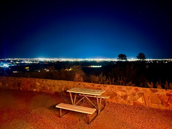
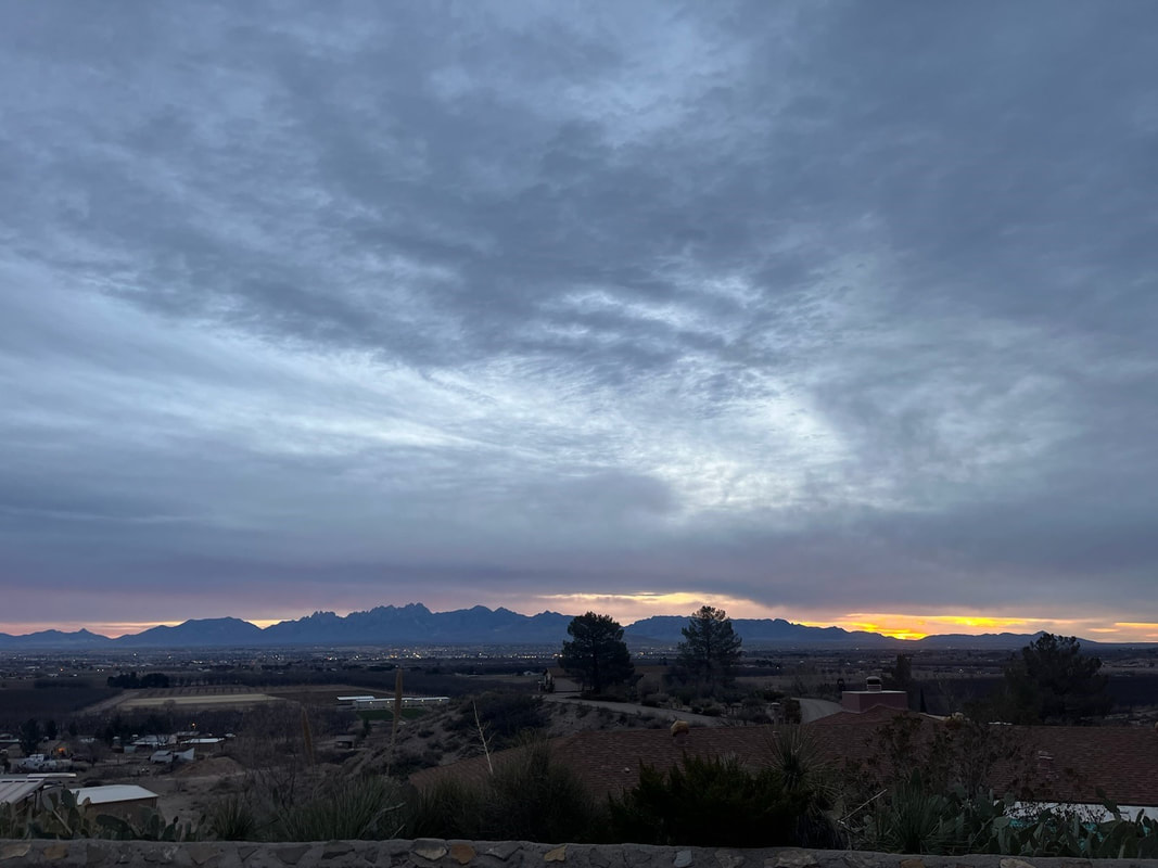
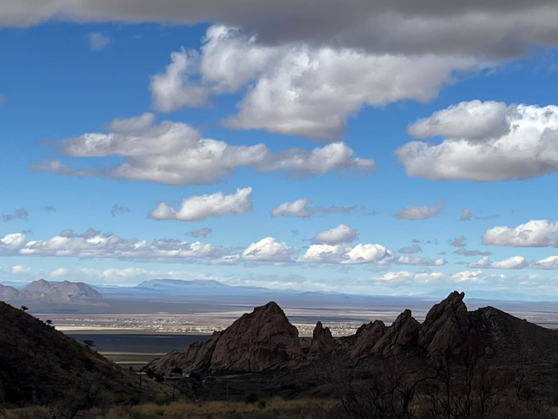
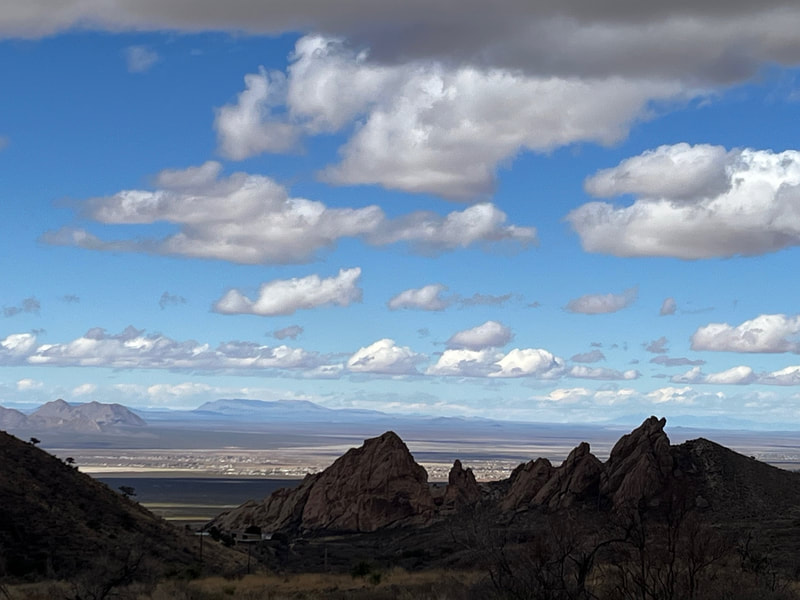
Our site was amazing! We had a view of Las Cruces, and at night, which is when we arrived, it was stunning.
Our site was amazing! We had a view of Las Cruces, and at night, which is when we arrived, it was stunning.
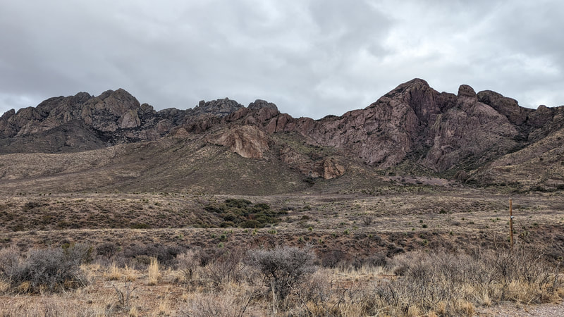
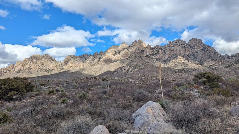
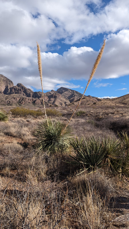
During the day, we could see the Organ Mountains.
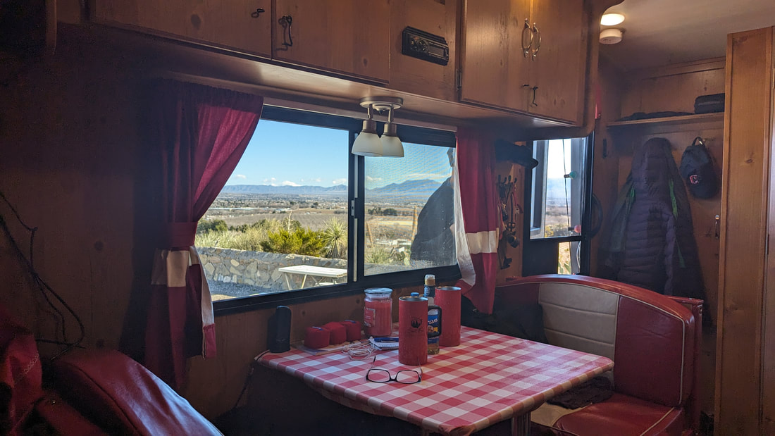
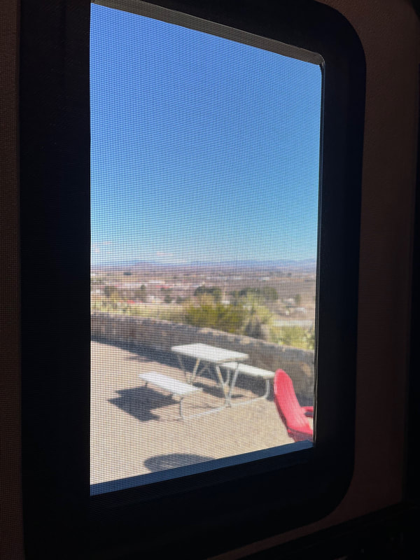
You could see the view sitting at the table.
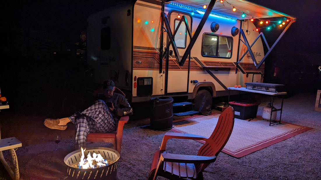
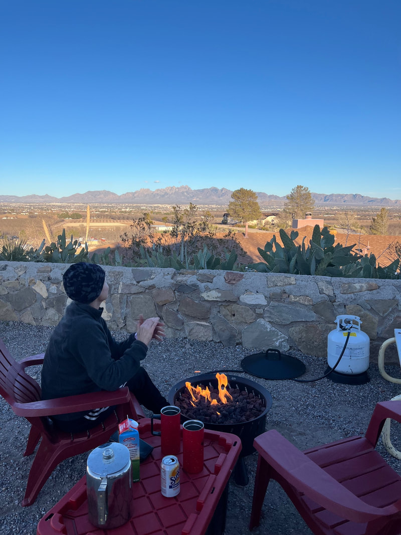
Right before we left, I said I wanted to get a propane fire pit. I'd been debating it a long time. On the one hand, I prefer a real fire a million times over, but on the other hand, you can't take enough wood for a monthlong trip or buy any good wood when you're traveling to make all the fires you'd want. My sister has had a propane pit for a while and I discovered I enjoyed sitting around it more than I thought I would. So we picked one up and we're both so pleased. You can fire it right up and it's quite enjoyable. It's not as nice as real, no question, but it's pretty nice. And it's always available, with instant and easy startup.
Las Cruces, Day 1
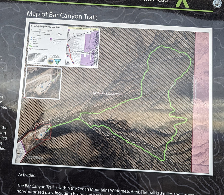
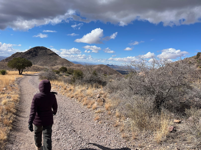
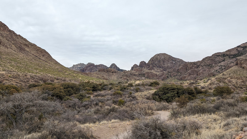
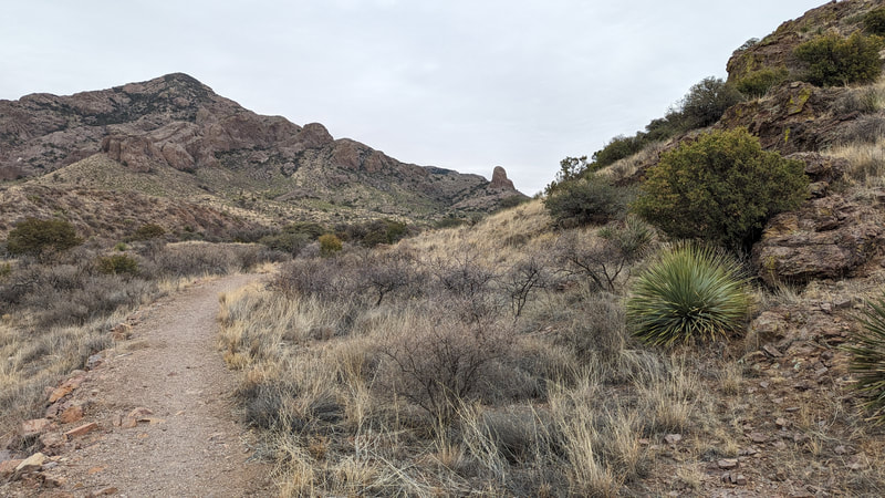
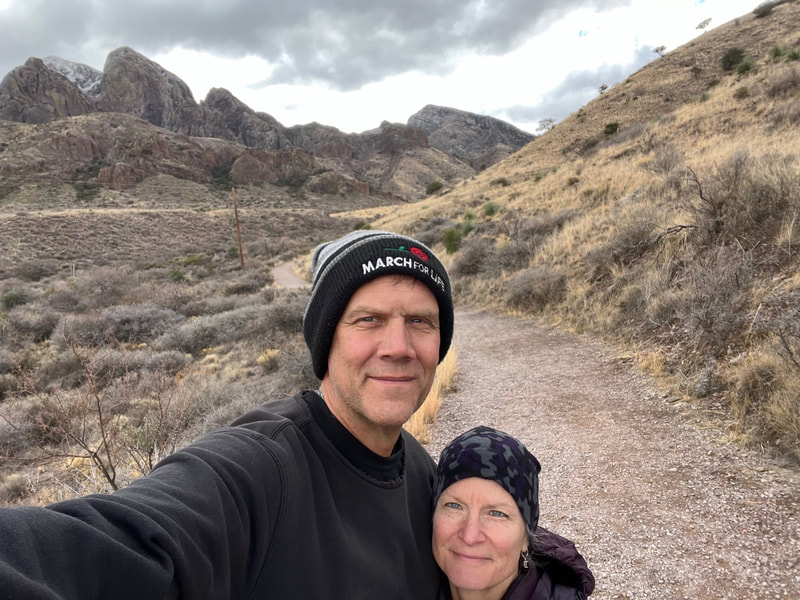
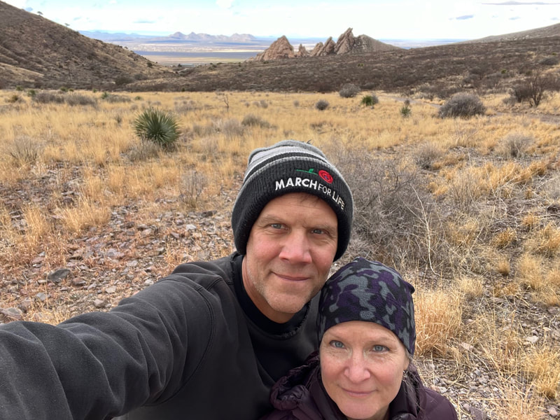
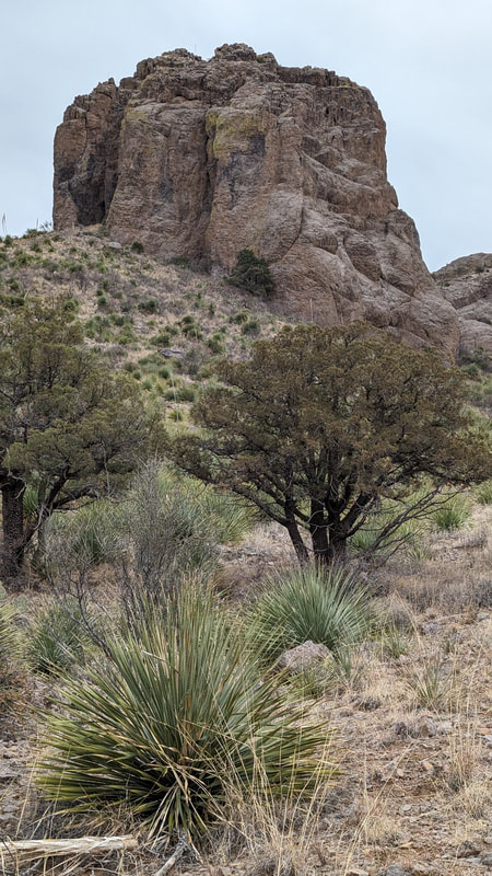
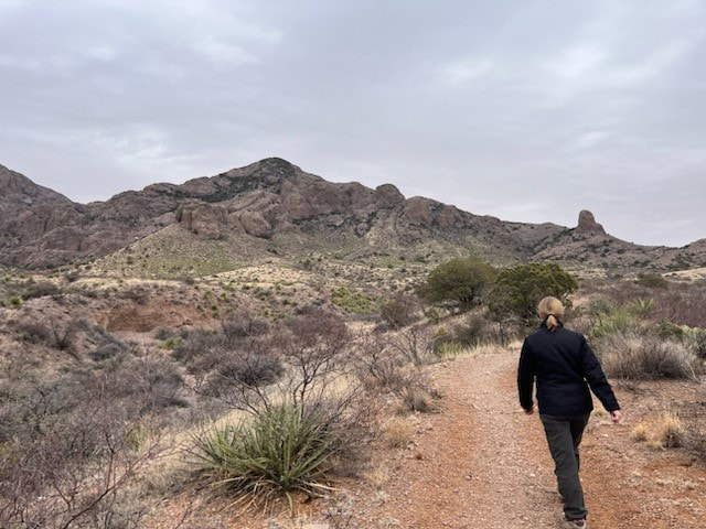
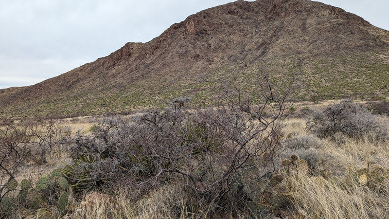
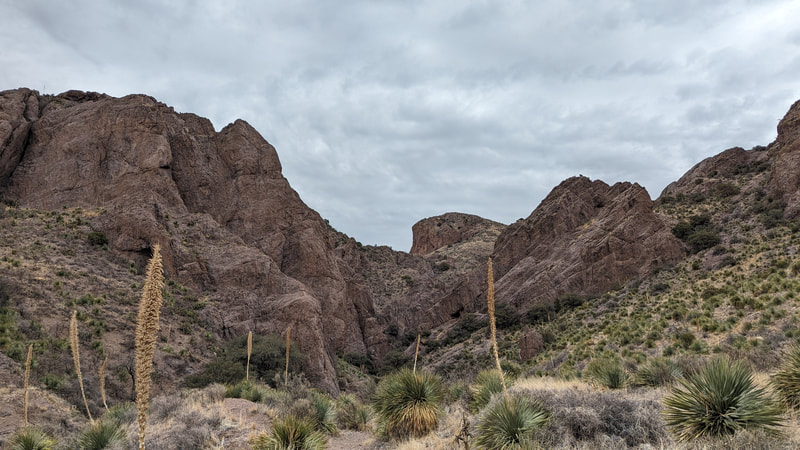
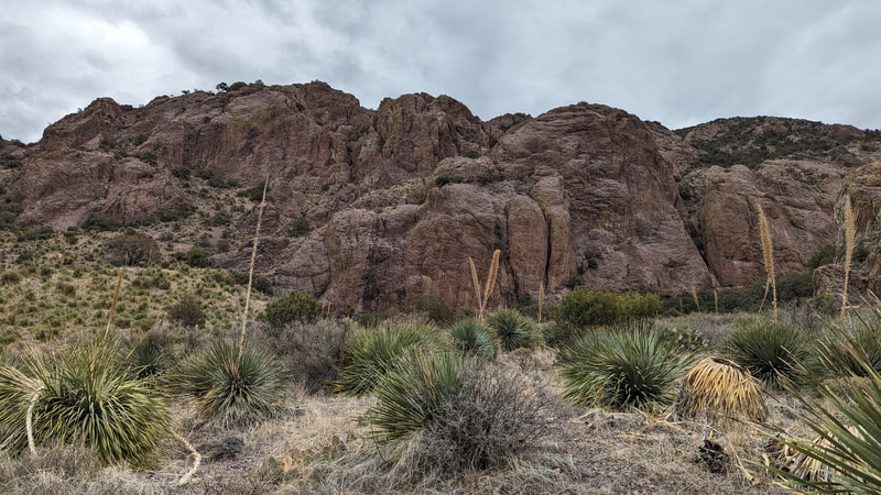
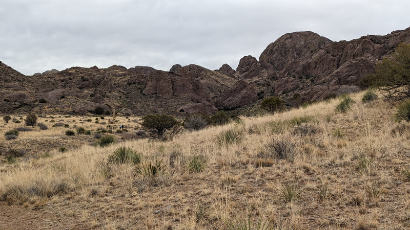
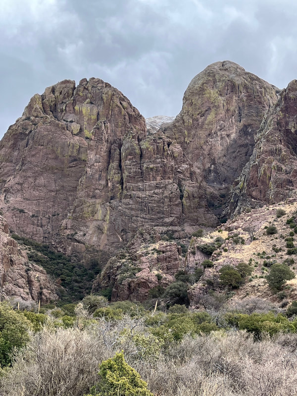
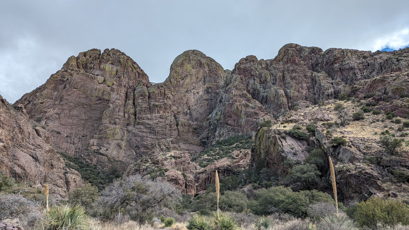
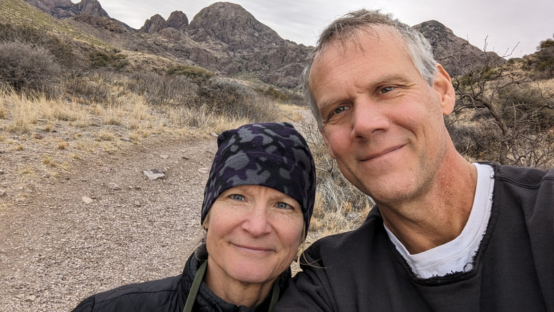
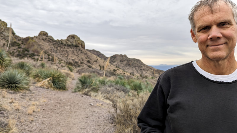
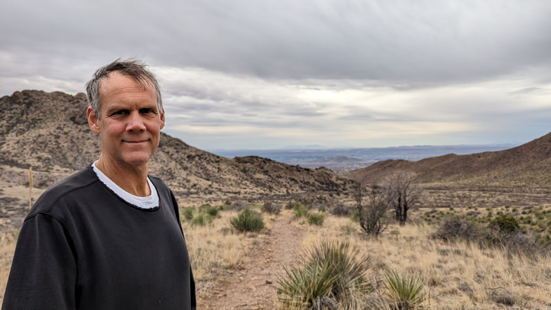
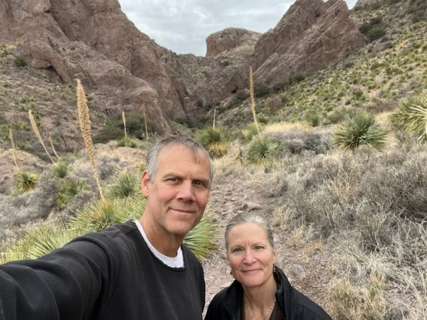
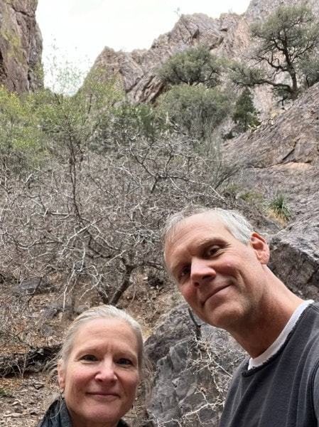
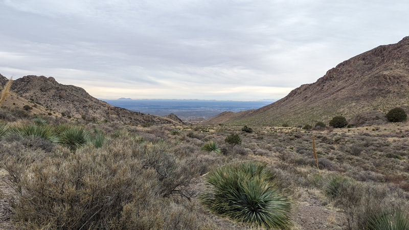
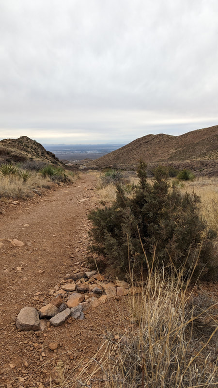
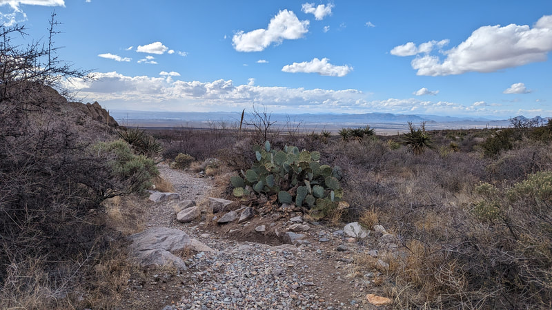
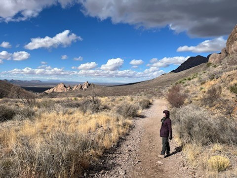
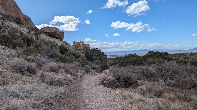
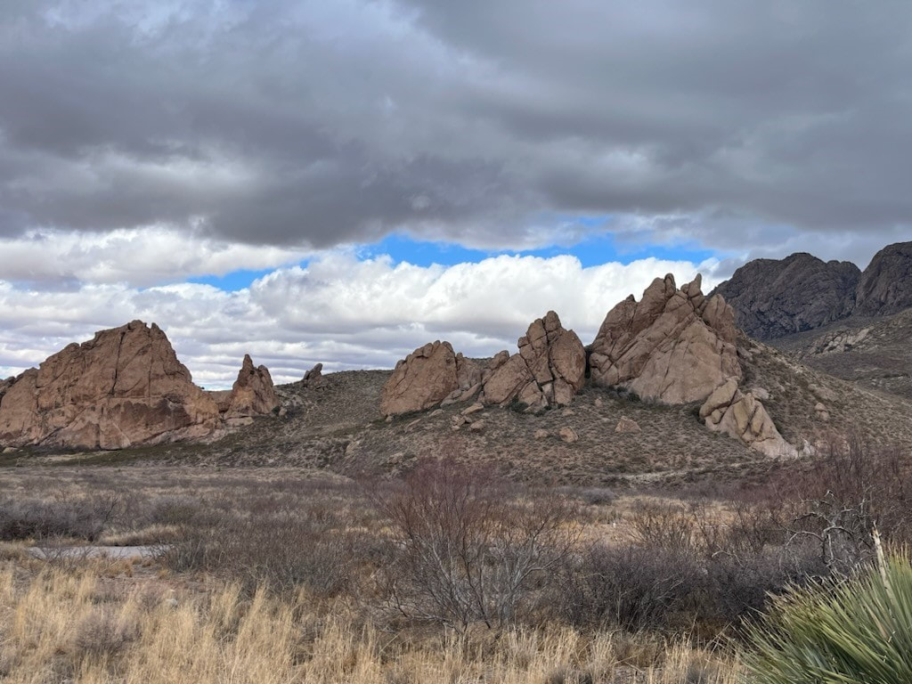
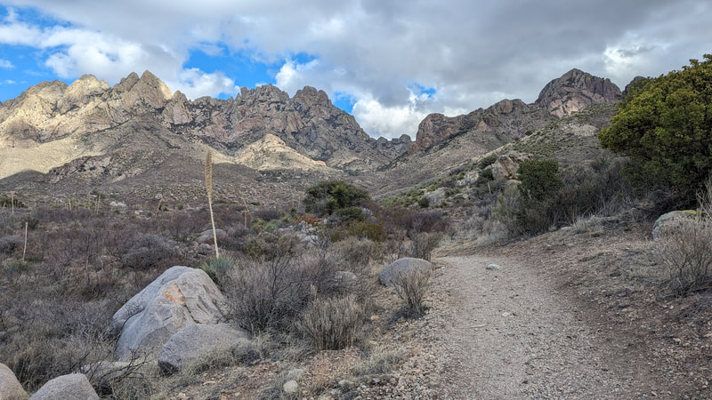
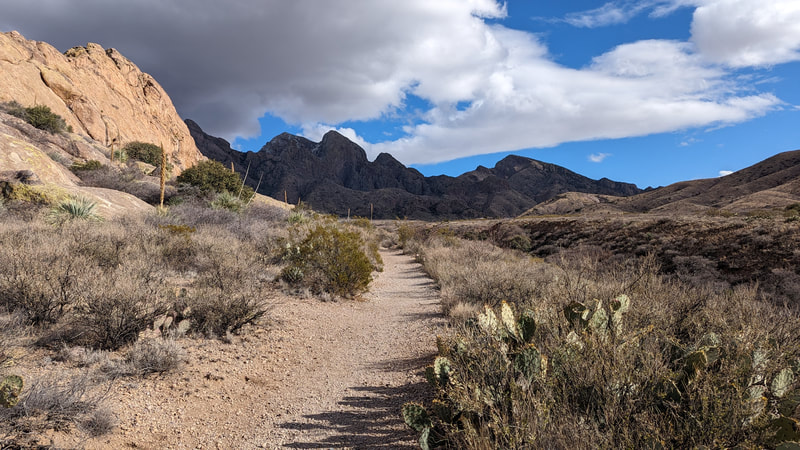
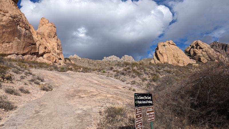
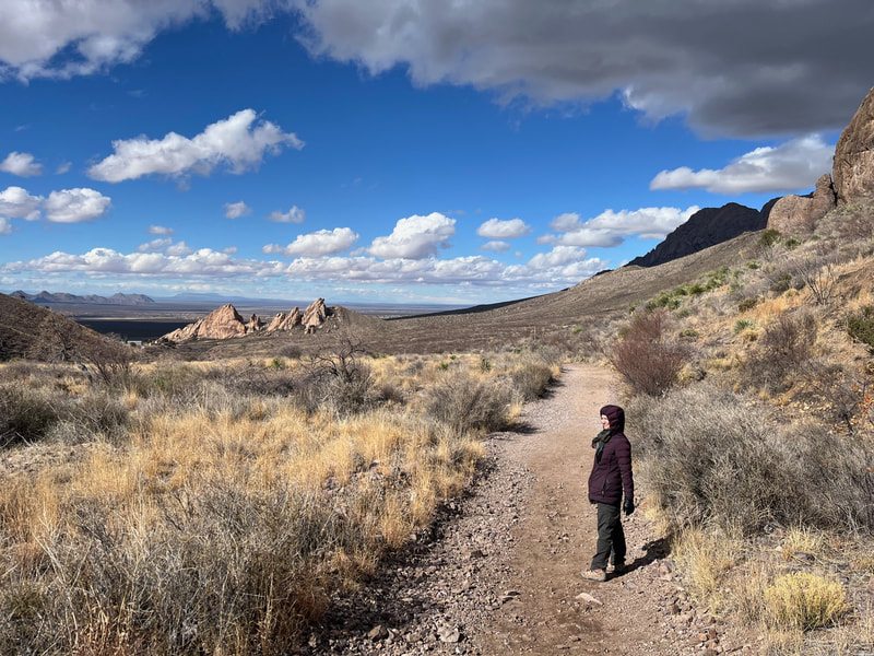
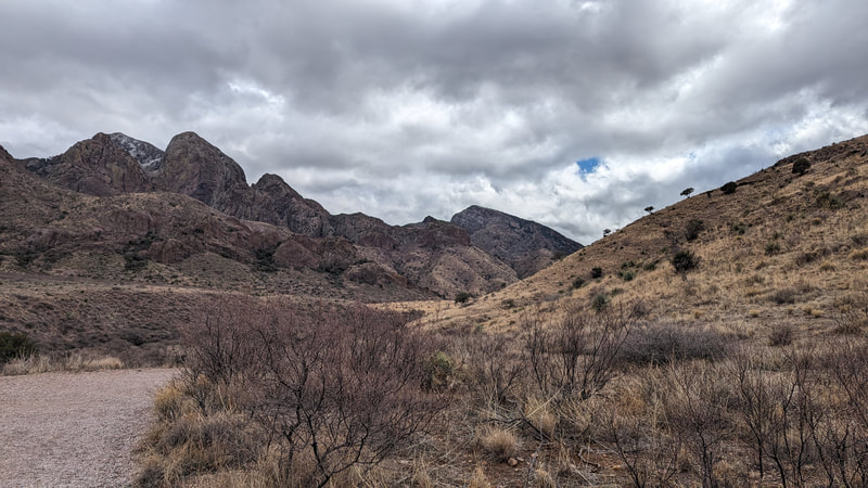
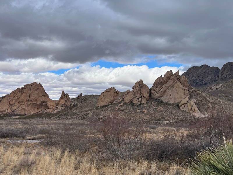
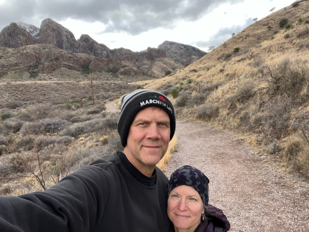
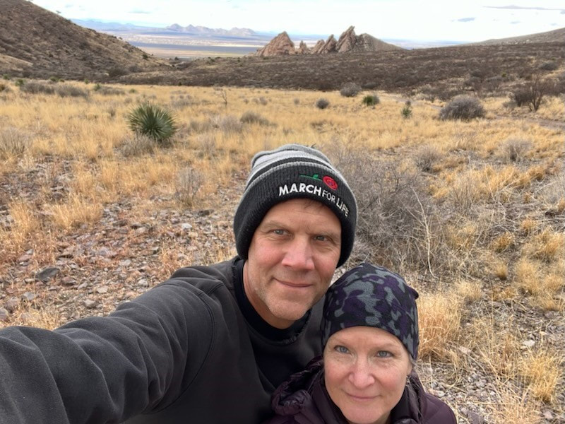
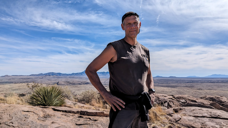
On our first day, we headed out to the Desert Peaks National Monument area in the Organ Moutains. We followed AllTrails looking for the Achenbach Trail, couldn't find it, and wound up at the Bar Canyon Trail. We hiked for about 2 hours. It was awesome!
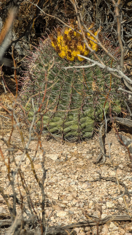
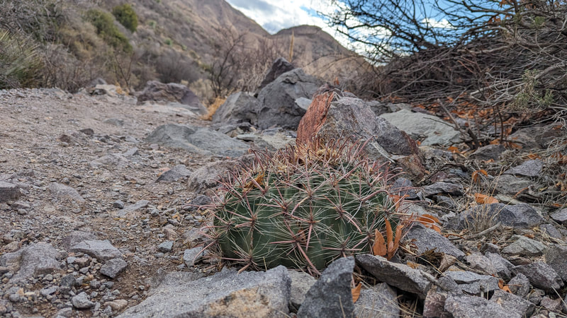
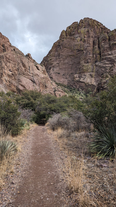
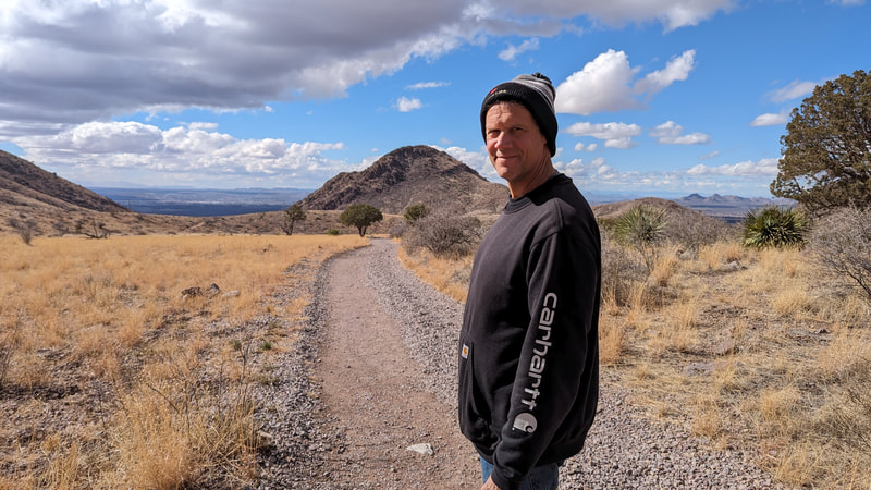
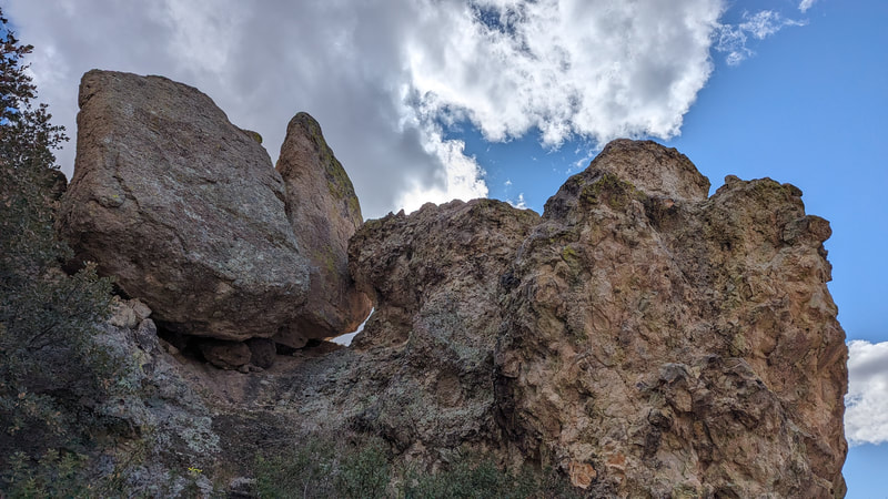
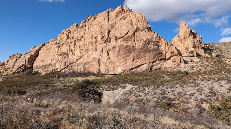
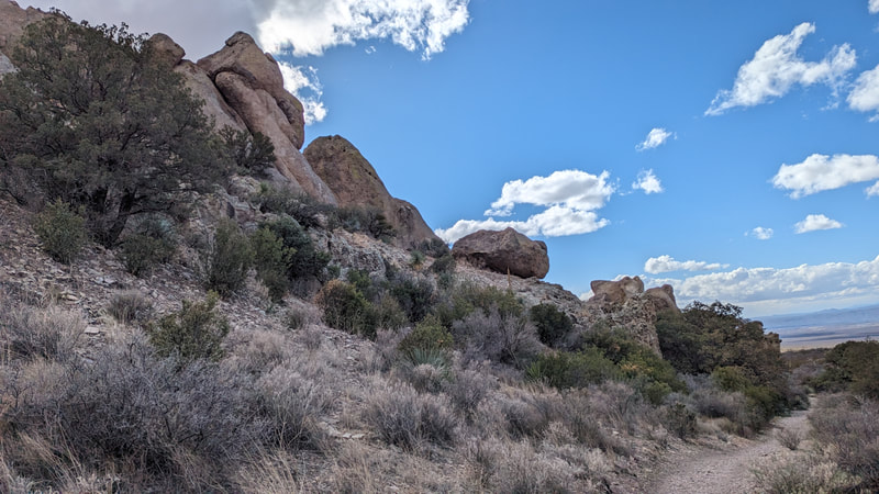
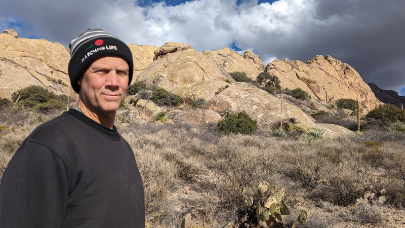
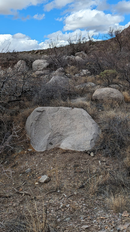
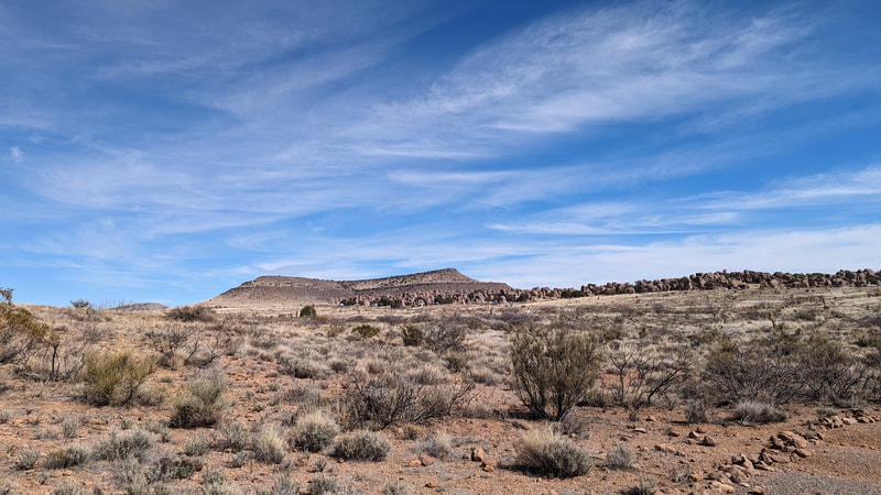
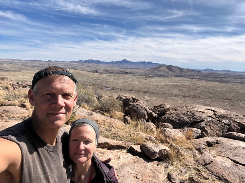
Here are some pics from the day although I can't honestly say that these were all from this trail. I may have mixed some in from the next day.
Las Cruces, Day 2
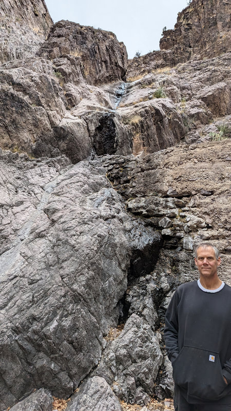
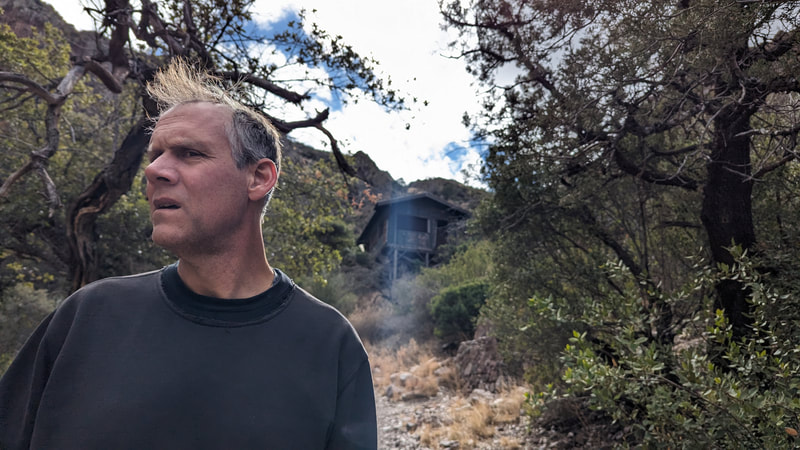
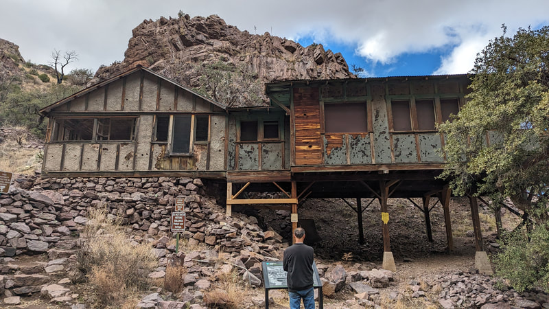
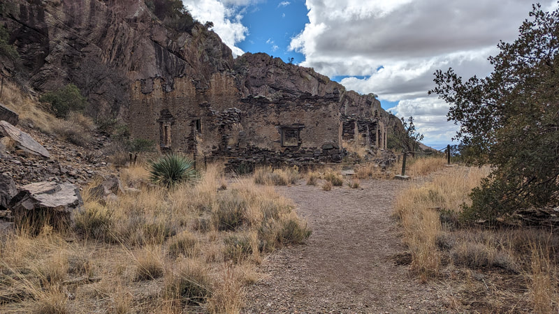
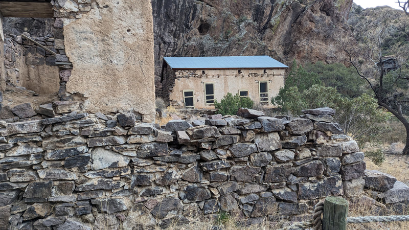
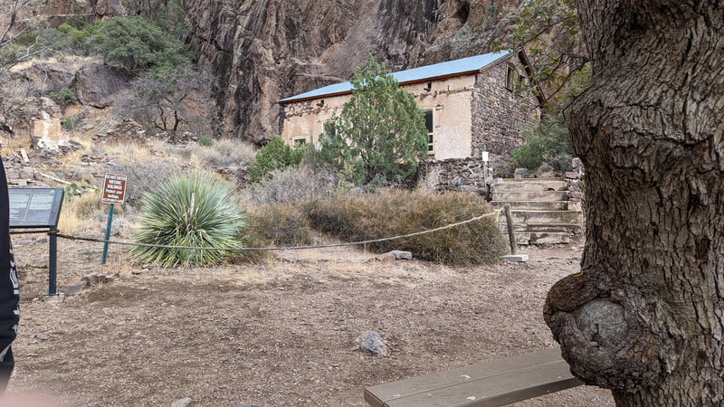
The next day we went back to the same area, but this time we went on a bunch of trails that start with the Dripping Springs Trail and then make a big loop back to the starting point at the visitors' center. Dripping Springs ends at a tiny dribble of water coming out of the rocks, and there are 2 historical sites there as well. One is Van Patten's camp, which was a recreational resort for folks in the 1800s and early 1900s. Several buildings are still standing. The other is Boyd's sanitorium. Some of those buildings are standing, too, and they are creepy. The hike was beautiful.
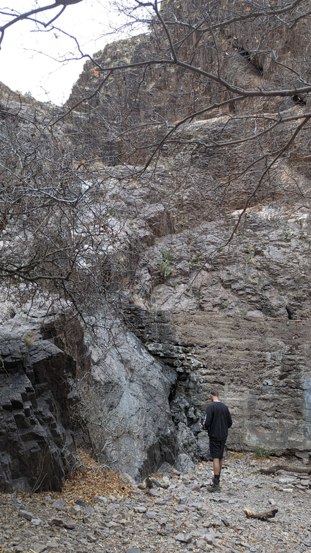
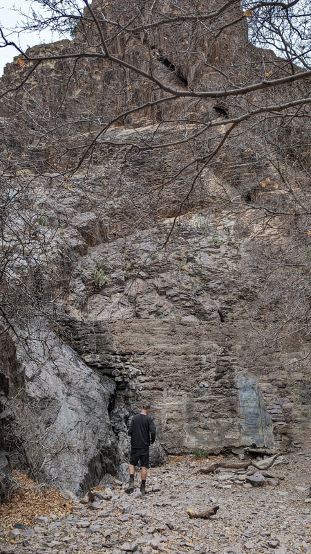
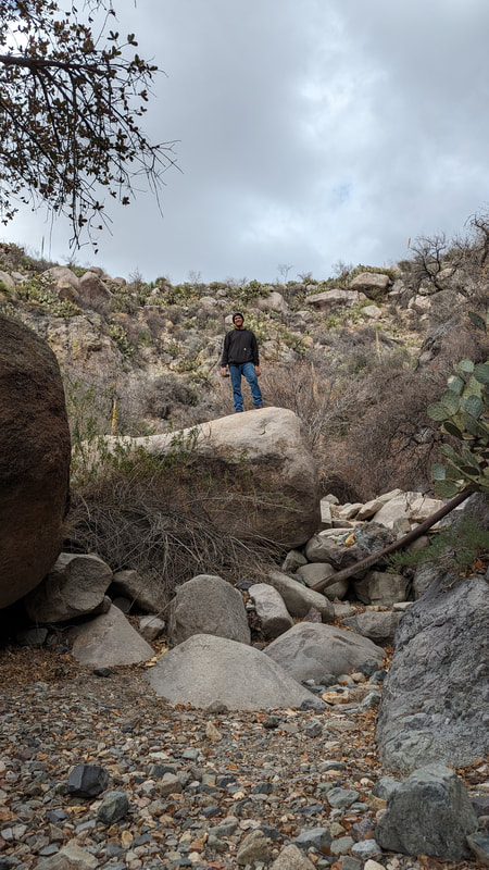
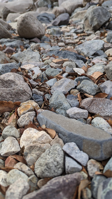
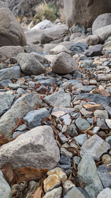
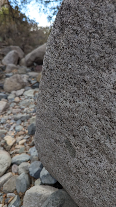
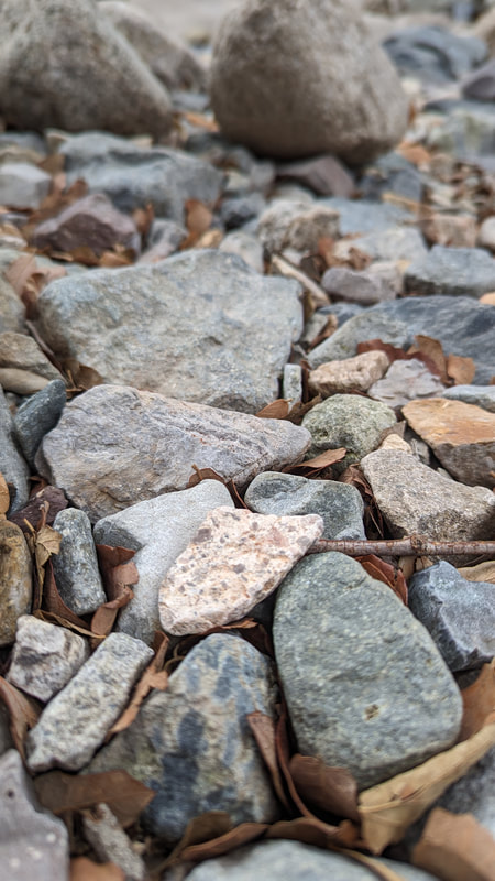
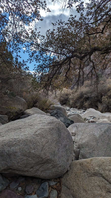
Next we took another trail, the Crawford Trail, which led to an offshoot trail, the Fillmore Canyon Trail. We went down that. I saw a mule deer on the way, but it was too fast for me and I didn't get a photo. The end of Fillmore was a bunch of huge tumbled rocks, many worn smooth and round by water that was not there now. It was bone dry. Very pretty.
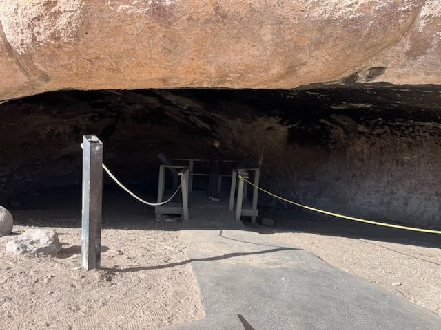
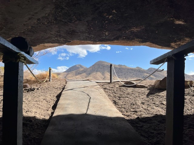
We came back out to the Crawford Trail and it soon turned into or onto La Cuerva (the cave) Trail. Indeed, there was a small cave along the trail. Then the trail led back to the visitors' center. Total hiking time was 3 hours.
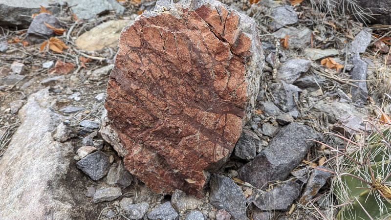
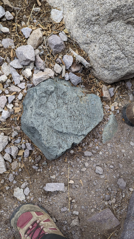
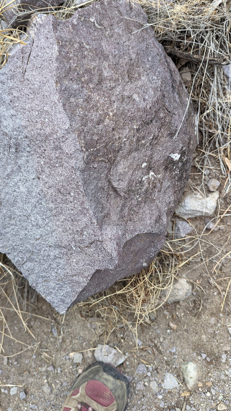
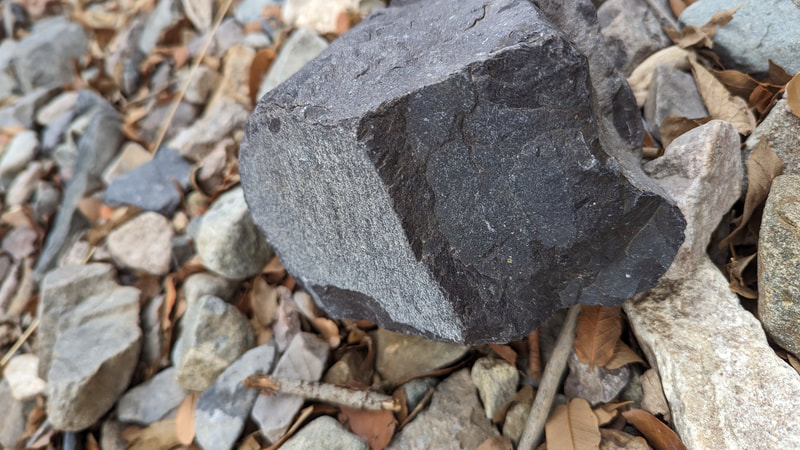
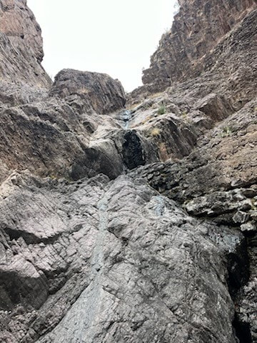
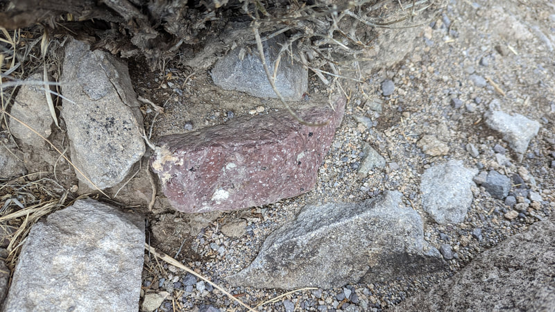
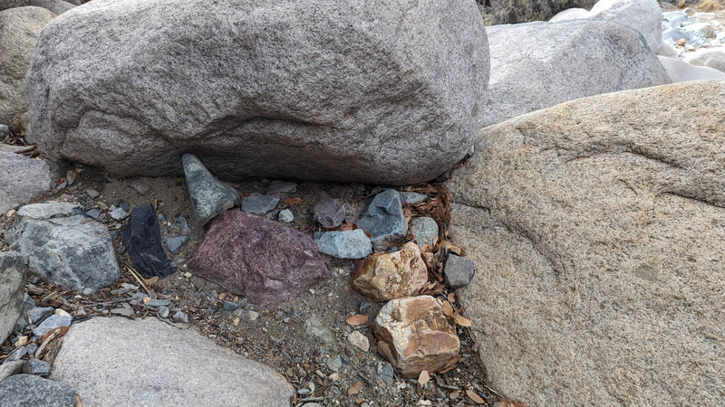
The Organ Mountains, according to some literature at the visitors' center, were formed by an upwelling of a shit-ton of magma into the sedimentary layers formed during the time the Southwest was a massive inland sea. This orogeny makes for loads of cool rocks.
Las Cruces, Day 3
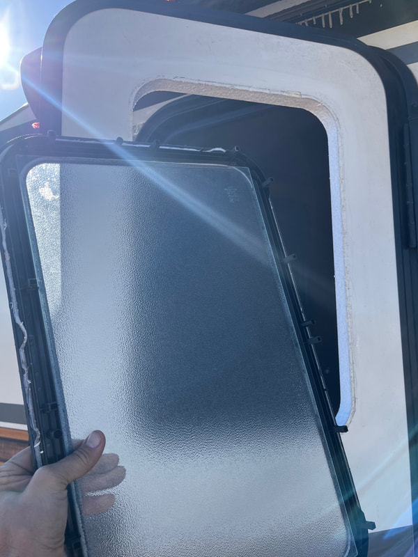
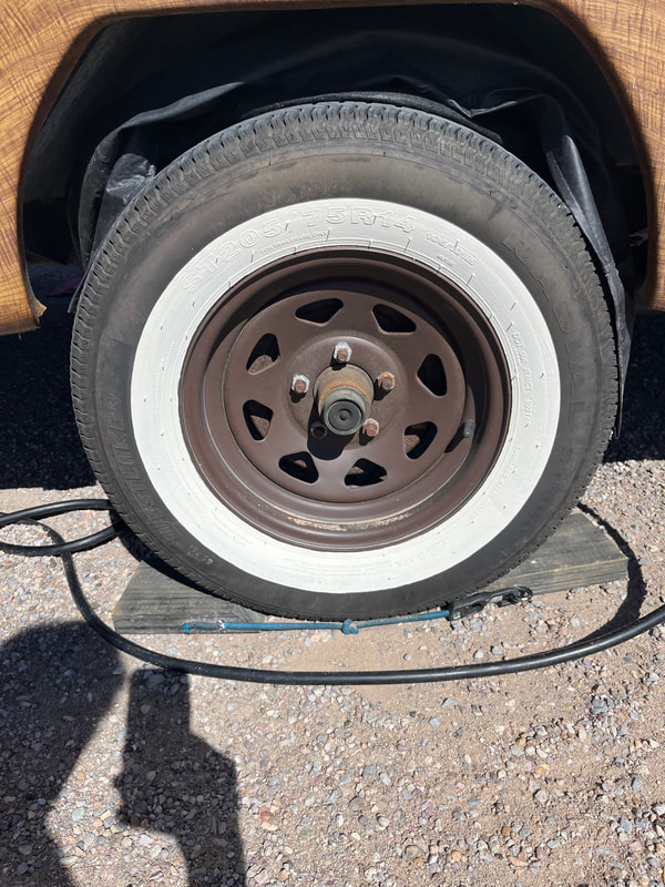
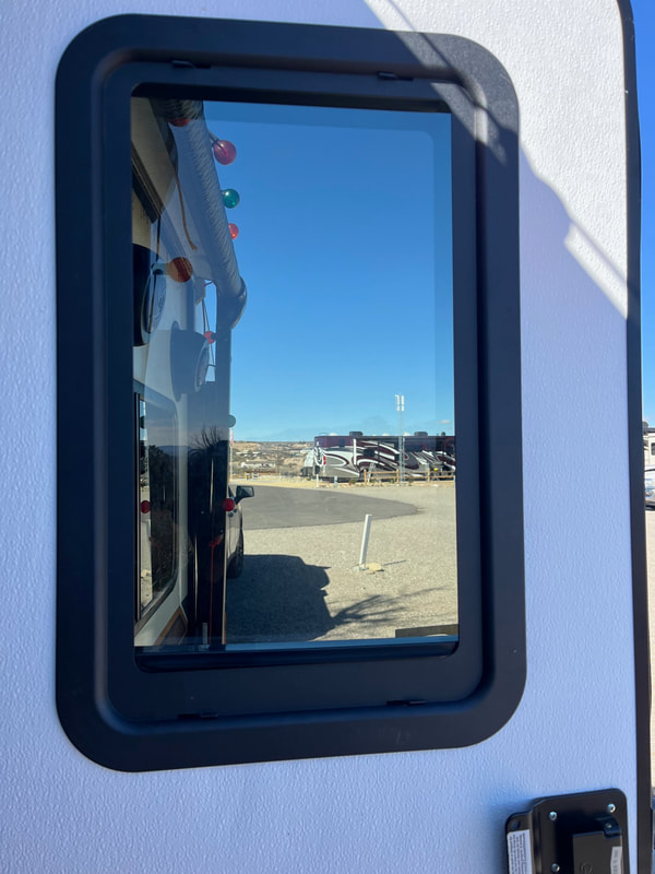
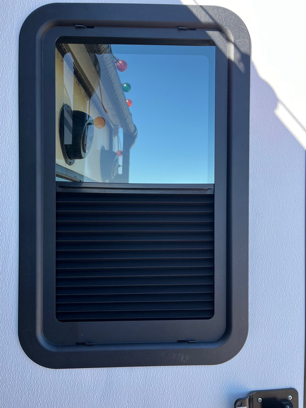
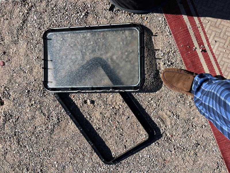
We used the morning to get some projects done. Scott put in a new clear window with a shade in the RV door to replace the frosted glass, he painted the tires so they look like whitewalls (like the original tires, but they blew and he bought better tires but no whitewalls), then he took apart our propane tubing and valves because we had a leak and all the propane was gone, and I worked on this blog writing about this vacation instead of living it. After that, we went hunting for propane replacement parts. First we went to the RV store. They had only the valve bit but not the hose. Then we went to Home Depot. They don't have propane stuff. Then we went to Griffin's propane. The guy who knows parts was out for a bit so we had to go away and come back.
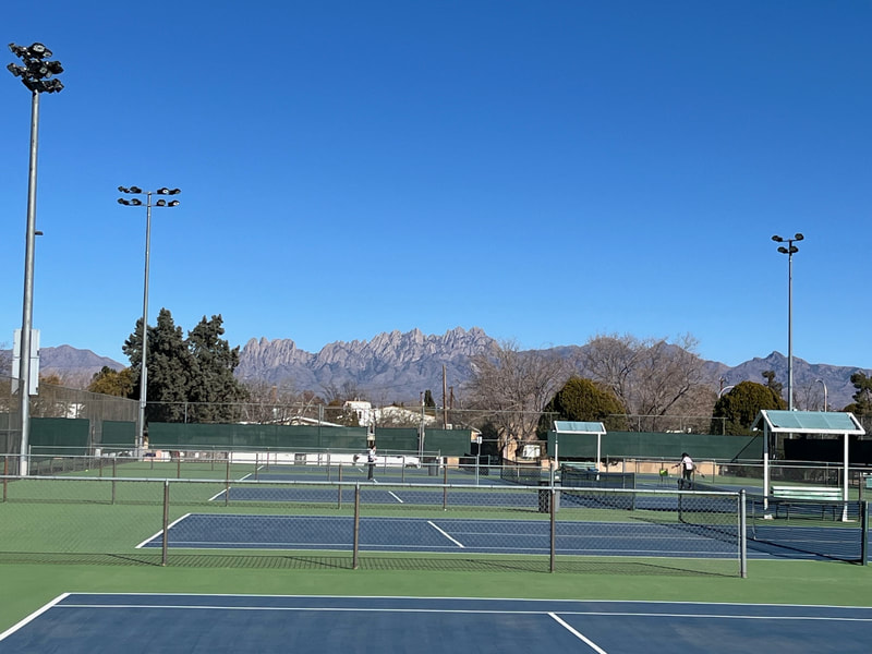
But we were close to super nice tennis courts! So we went and played tennis. It was fun but it was pretty windy, which did interfere quite a bit with the play. Hopefully we can play again there when it is not windy.
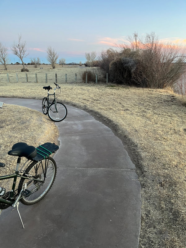
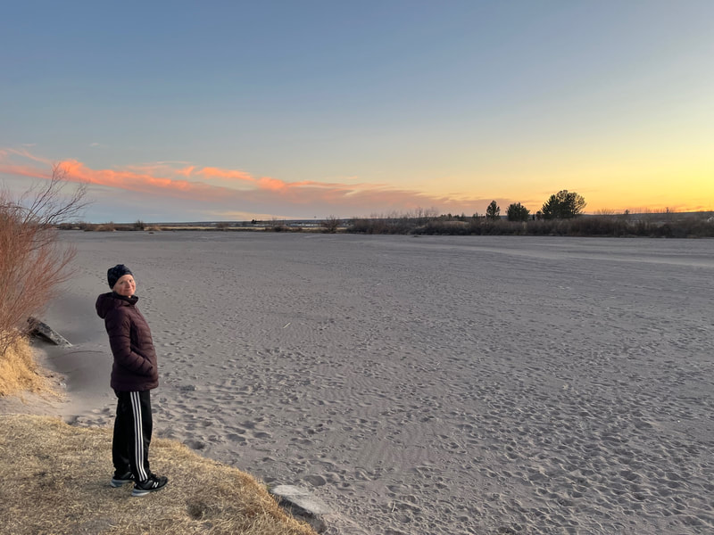
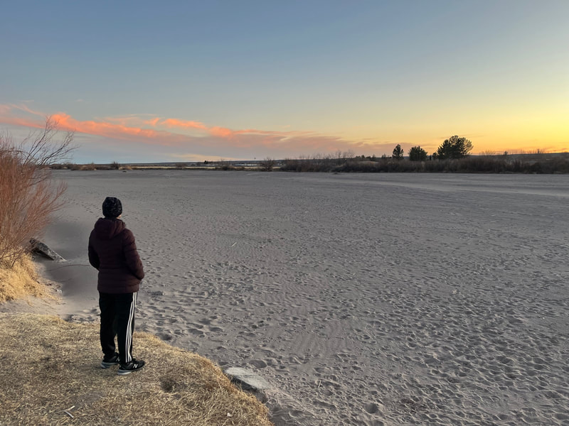
Then we went back to Griffin's and the fellow helped Scott get the one hose off the part that needed replacing, then we went home and ate dinner. After that we had an hour of daylight left and we decided to go for a bike ride. We had spotted a nice bike path along the Rio Grande. So we went and did that. It was very pleasant. Cold, but a pleasant ride. The Rio Grande is not that wide here and it is bone dry. I googled and found out they divert the water with dams and levees this time of year and they'll start to release it when growing season begins. About a mile down the path, there was some water flowing into the river. There were a lot of birds hanging out there—geese, ducks, crows or ravens, and doves.
Las Cruces, Day 4
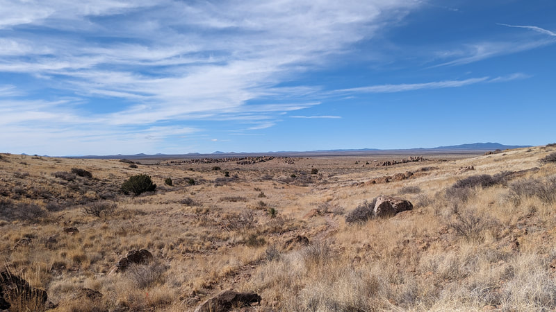
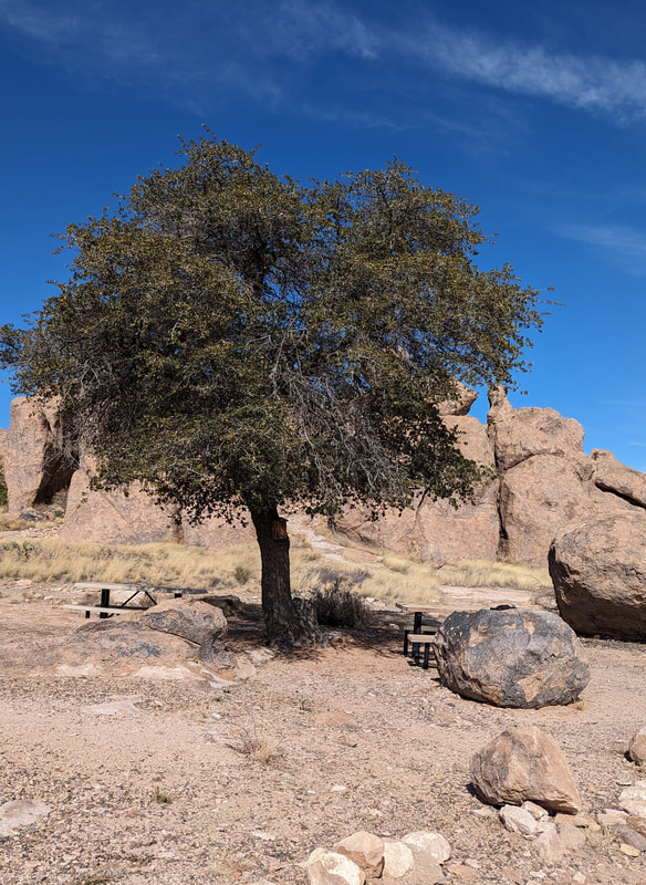
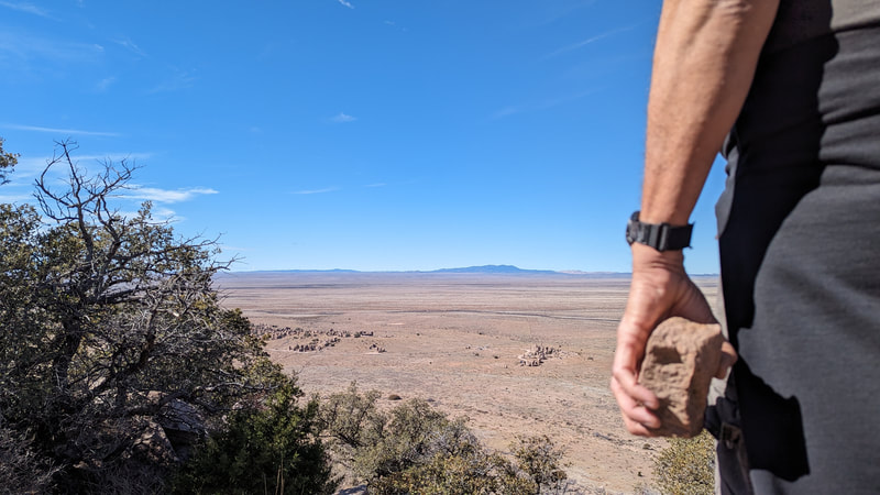
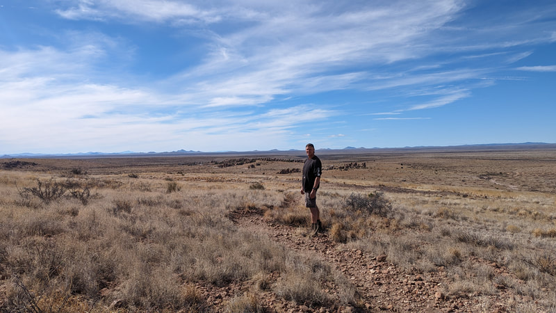
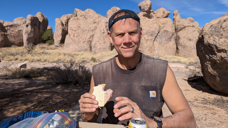
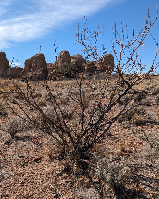
Day 4 we decided to hike City of Rocks. We were there two years ago on our Western trip and we really loved it. It was an hour and a half drive from our campsite, but we thought it would be worth it. It was. We hiked the Hydra Trail again, and the Table Top Trail. We hiked for 3 hours. The temperature alternated from needing a coat to not as we went through shade or sun. It was a beautiful day.
City of Rocks is an igneous formation that has been eroded into pillars over the years. According to the display in the visitors' center, there were eruptions starting 35 million years ago and repeating periodically. There is a lot of pumice because lots of the eruptions went high in the air.
We had lunch at a picnic table near the visitors' center and then headed home.
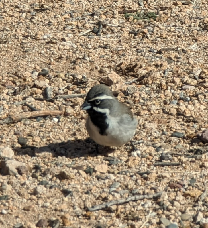
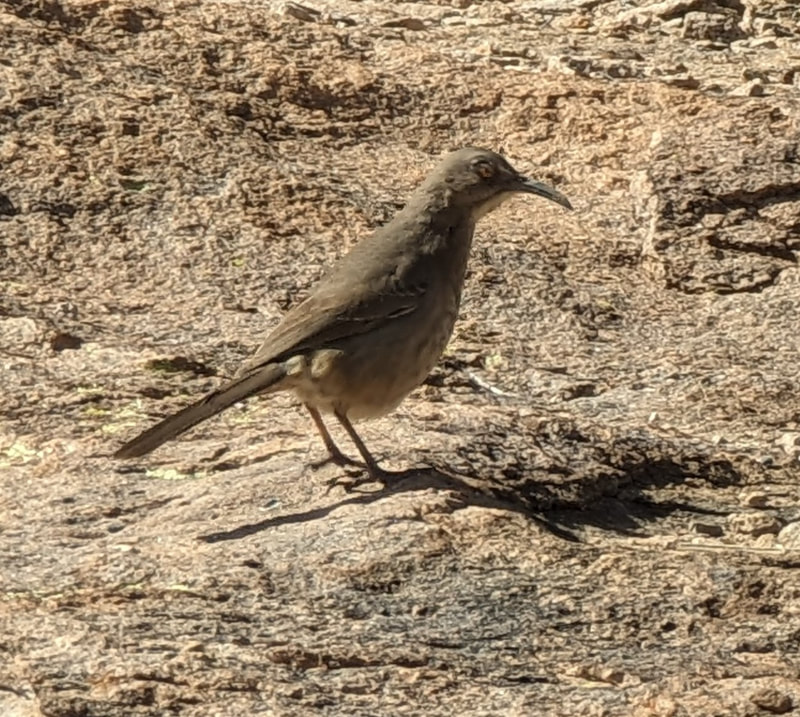
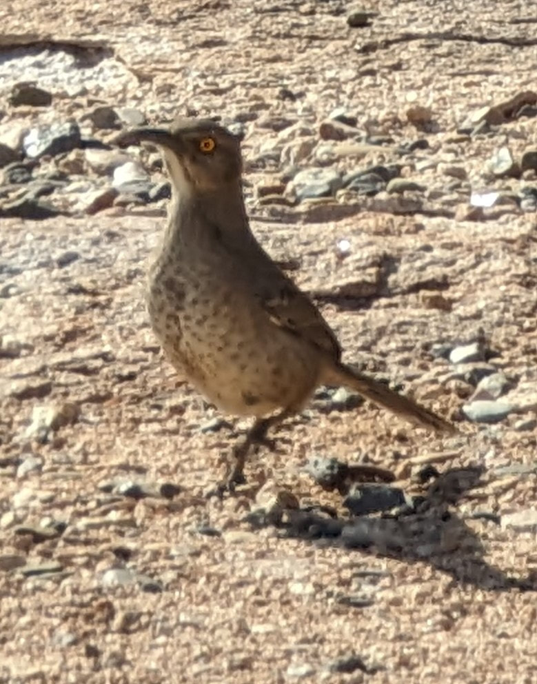
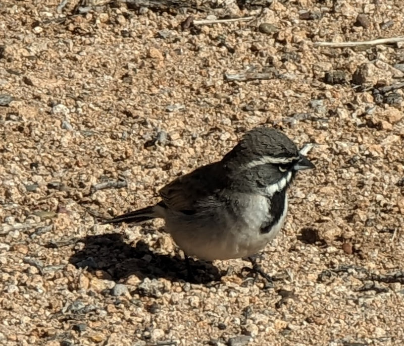
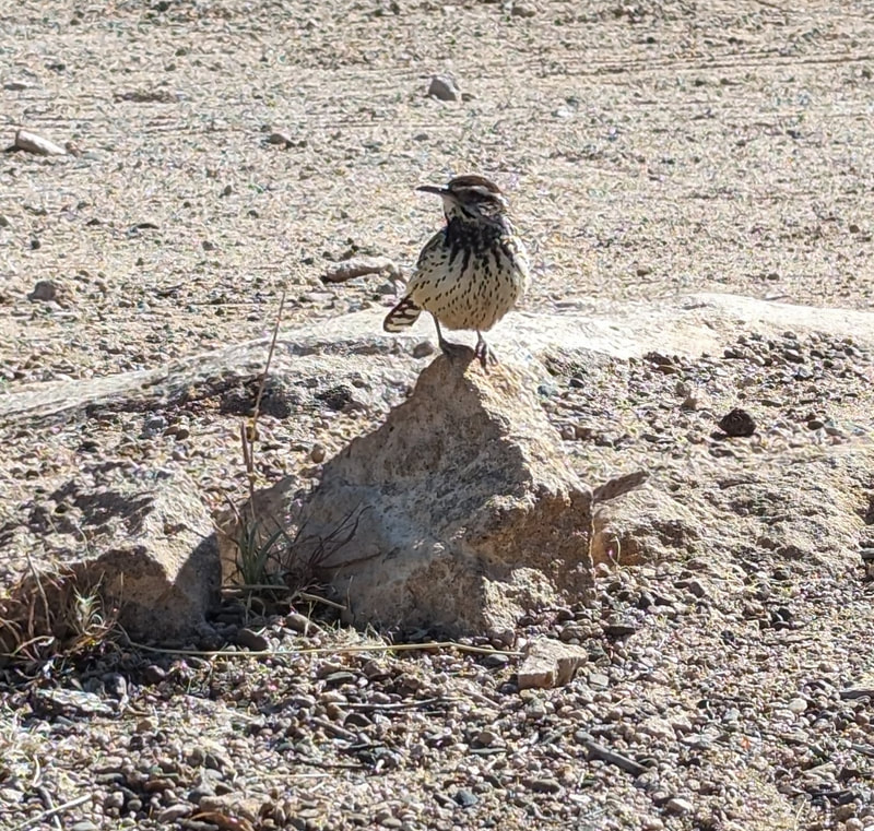
As soon as I sat down at the picnic table, birds started flying in. In all, three different species visited us. One flew right on to Scott's head! I thought it was a wood thrush, but after buying a guide to local birds later in the trip, I am pretty sure it's a cactus wren. Then we saw a bunch of black-throated sparrows, and finally, there was a thrasher of some sort, curved-billed, Bendire's, or Crissal's. There are 3 thrashers here, and I can't tell them apart. Also we saw a hawk or falcon soaring. It was big and beautiful.
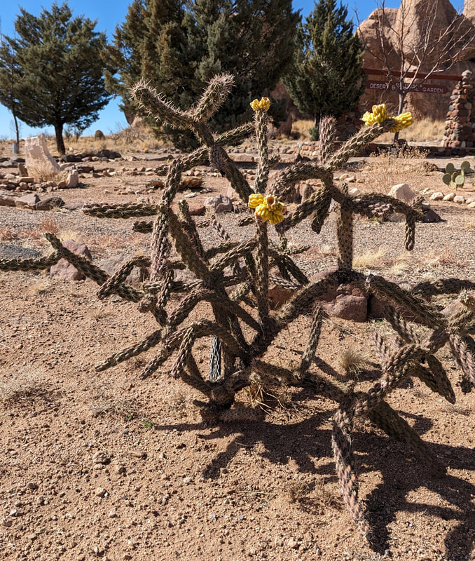
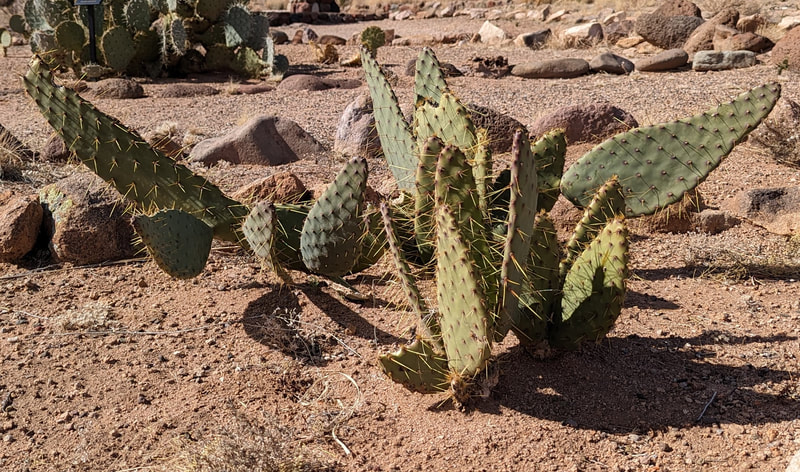
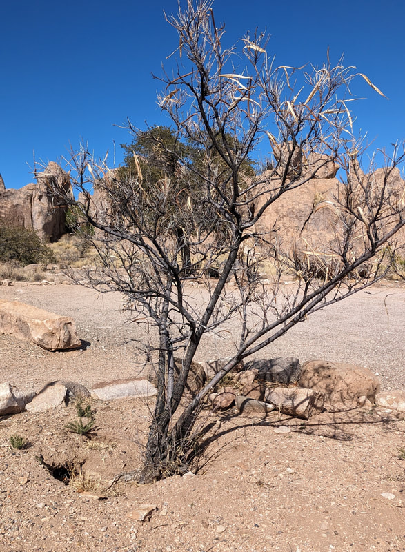
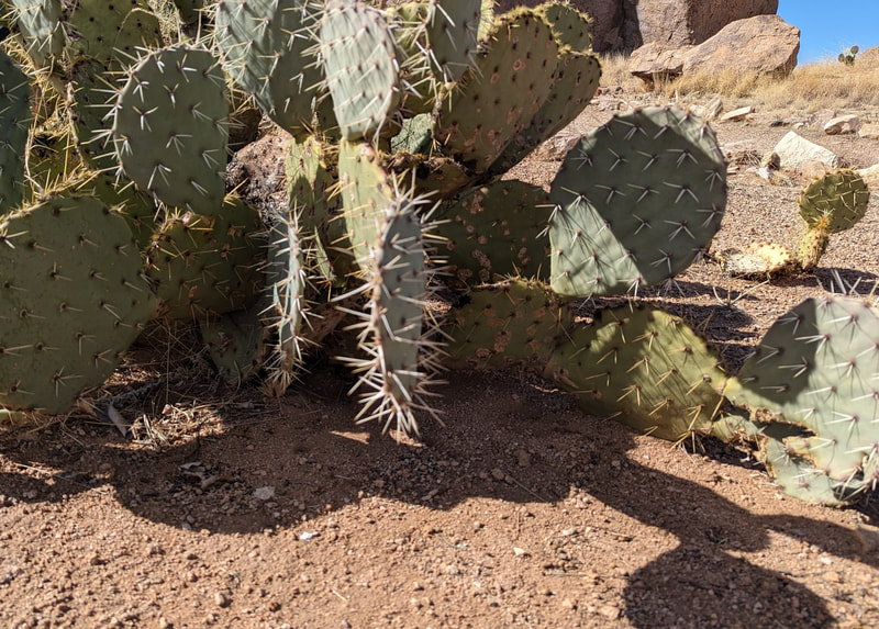
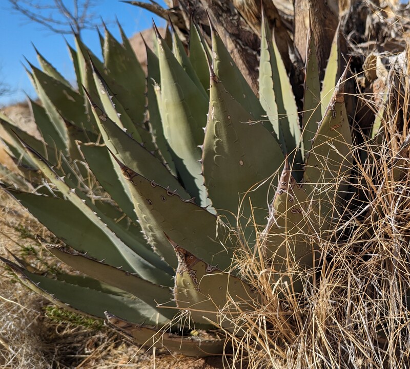
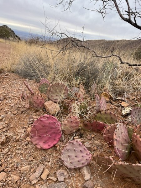
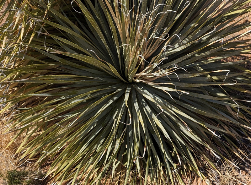
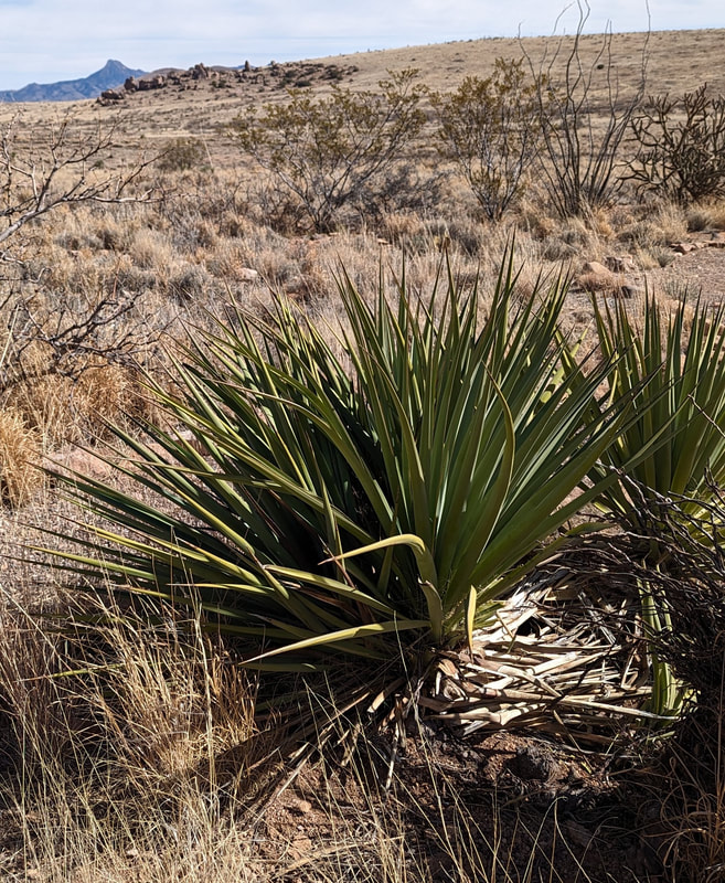
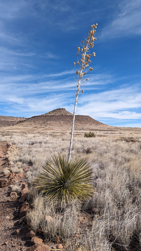
There is a botanical garden at City of Rocks with little plaques in front of various species.
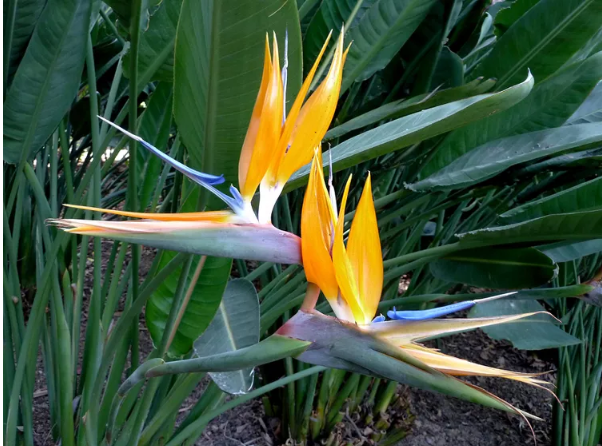
Some plants probably look a bit different when it's summer; I was curious about "Bird of Paradise" and found this picture on the web.
Las Cruces, Day 5
Our plan was to do the Pine Tree Trail on the other side of the Organ Mountains.. But it was rainy and chilly early in the day, so we decided to wait a bit before going. So, in the morning, we hung out at the camper. Scott was making an improvement to the bed and fixing the exercise band in his truck. I was working on this post, doing dishes, and exercising. Then we went to Walmart to pick up supplies.
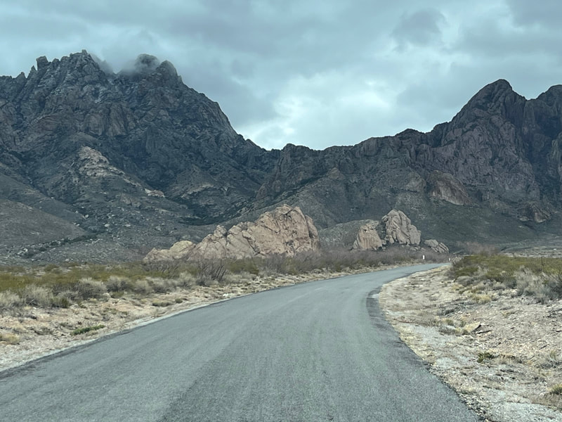
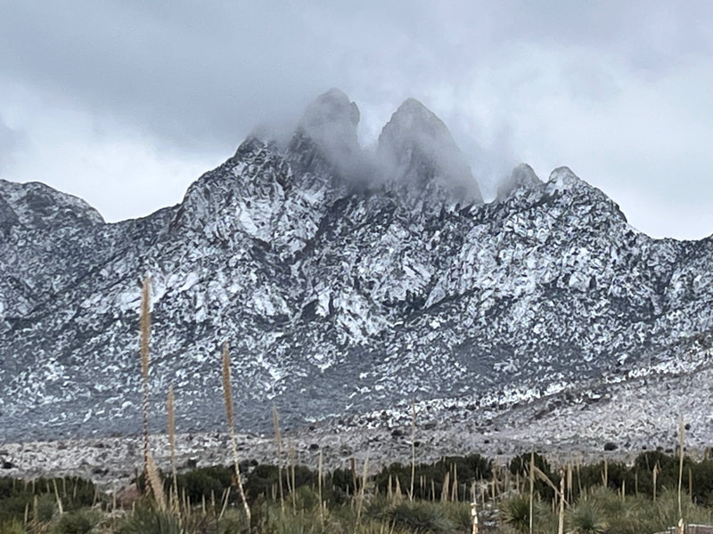
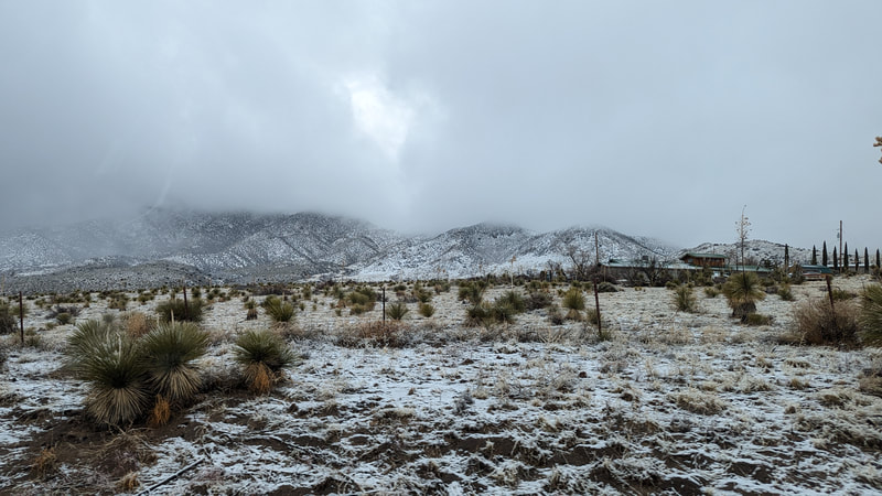
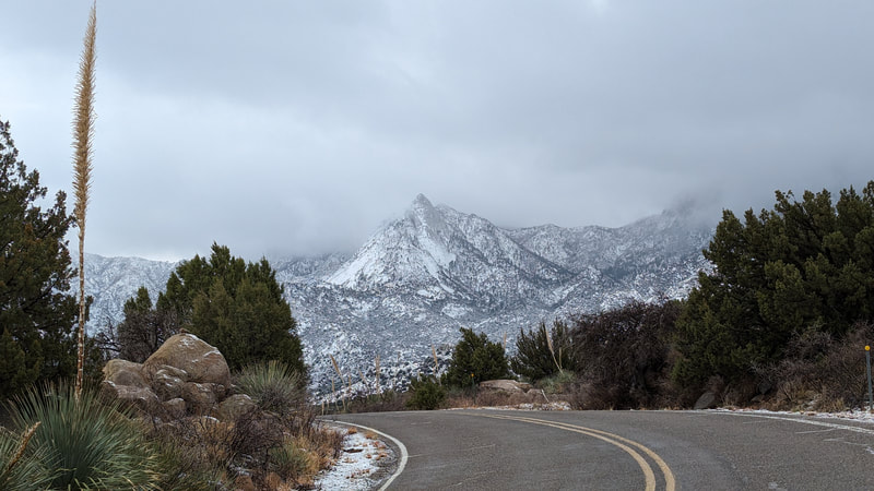
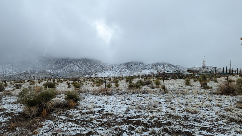
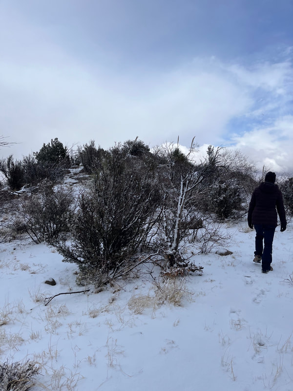
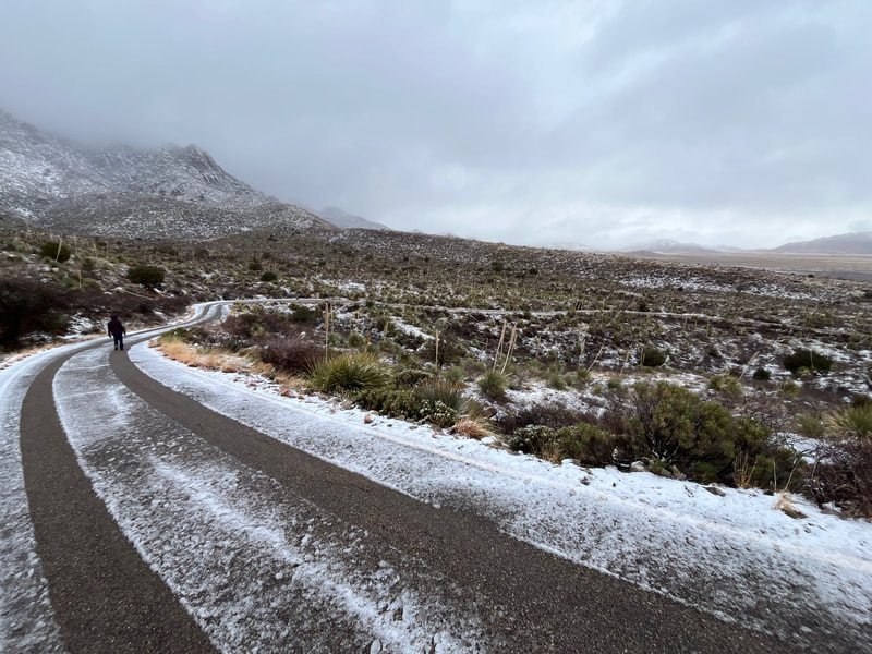
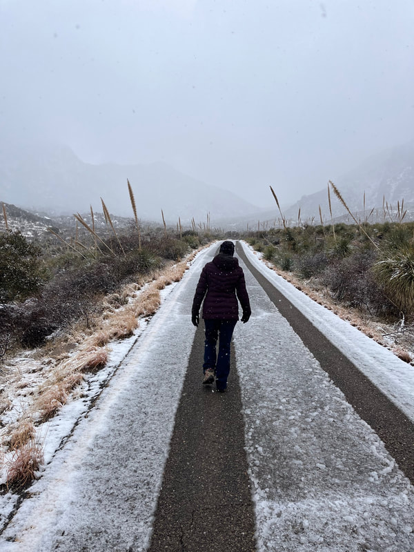
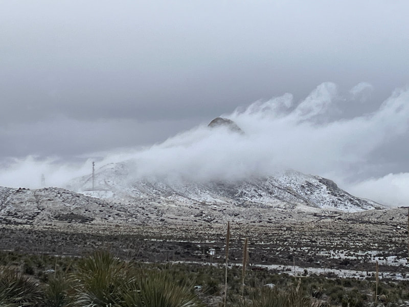
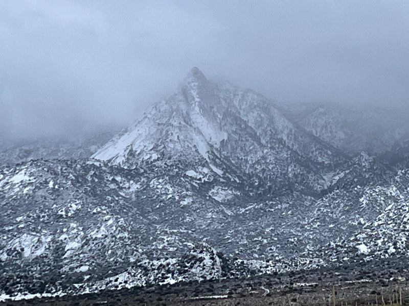
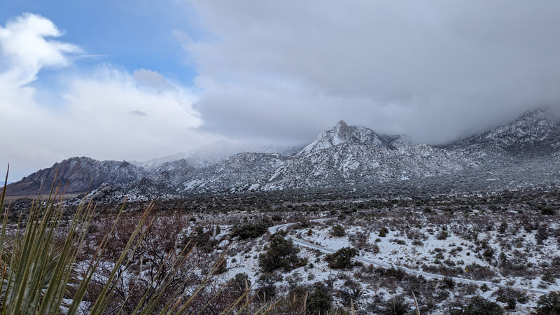
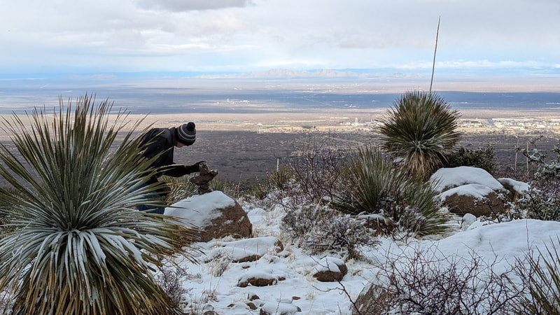
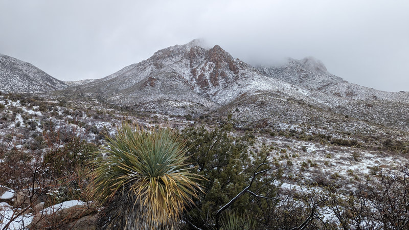
Then it was off to Pine Tree. Slushy snow was falling as we headed out of the KOA! As we got to about 20 minutes before the trailhead, the weather got bad. The snow was fairly heavy. Traffic on the highway slowed. Then we turned onto our turnoff with 15 minutes to go to get the the trailhead. There was a sign about watching out for bad weather and windy roads. I started to get nervous. About 2 miles up the road, the gate was pulled closed. There was a camp host station at that point and a couple of cars. A guy in a truck saw us arrive and came over. He was in an NPS truck, so not sure if he was a ranger or the camp host. He said he'd just closed the gate because a car had gotten stuck up the road, and he could not get to them because the road was so bad. He said we could park and hike the terrain or walk up the road.
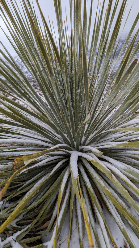
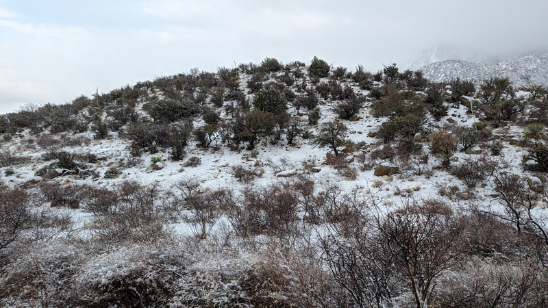
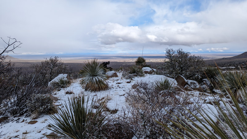
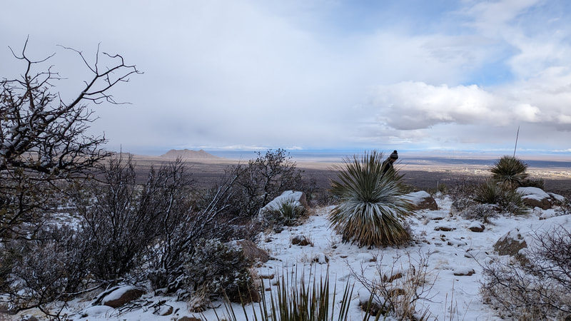
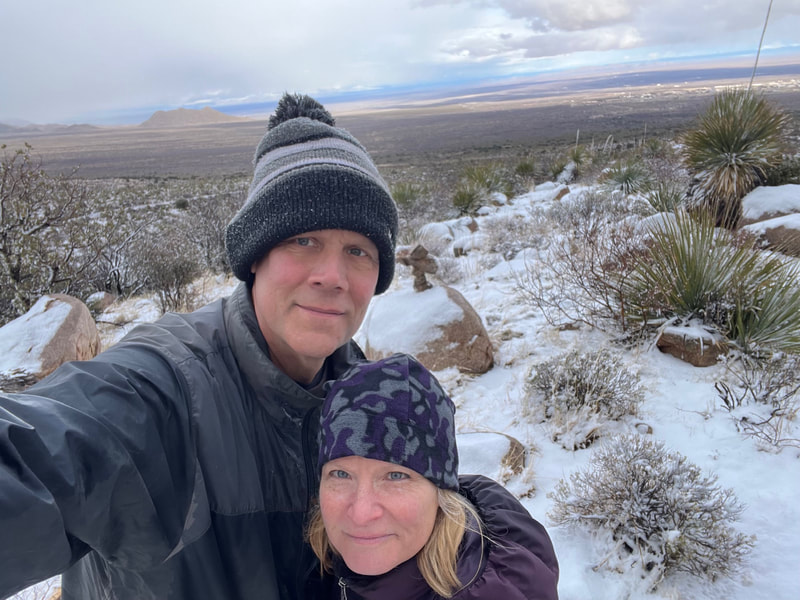
We decided to walk up the road. It was slushy but tires had left tracks where we could walk snow free. The hike turned out to be exceptionally fun and beautiful. We never made it to the trailhead, but we walked 1 hour 20 minutes out and another 1 hour something back. The landscape was lovely, with hills, mountains, various flora, and beautiful rocks tumbled onto hills and into canyons.
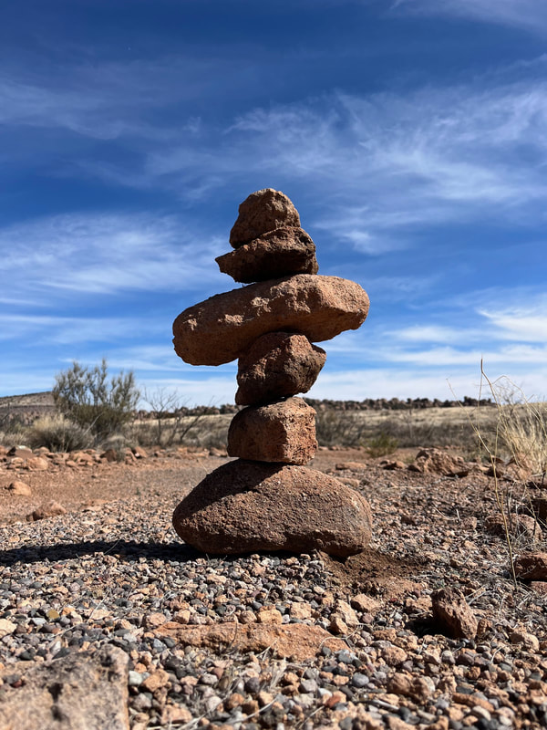
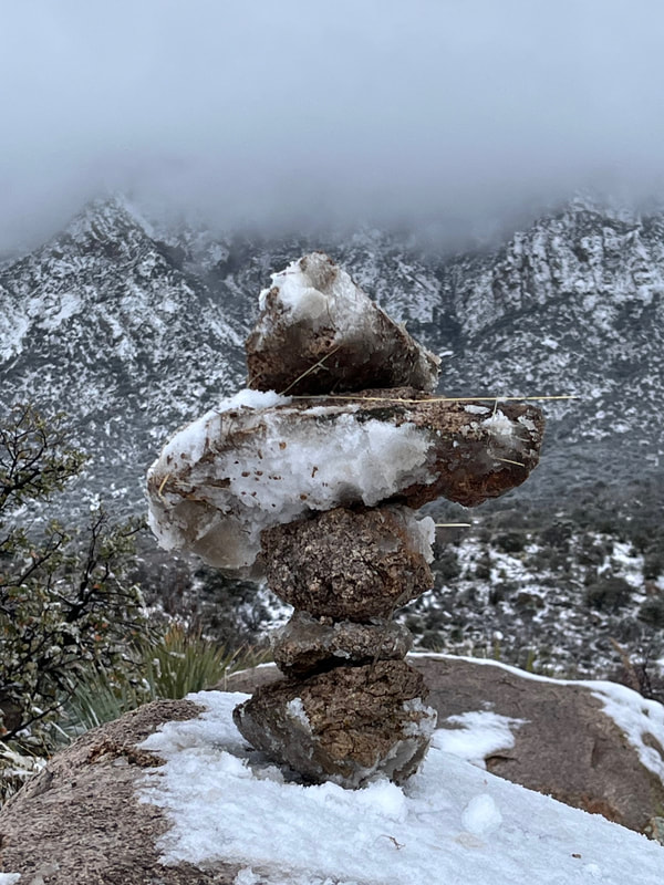
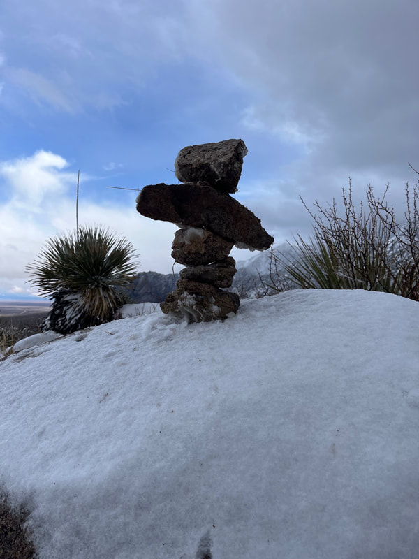
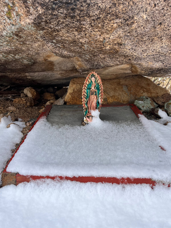
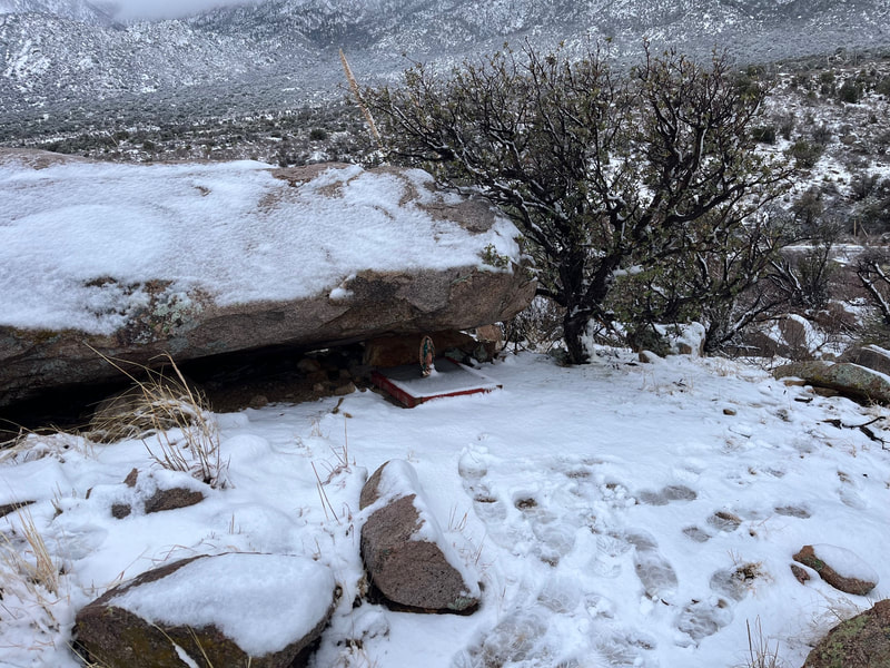
When we were ready to turn around, we decided to hike up a small hill that promised a good view. On the way we saw a statue of Mary! Scott made another statue out of rocks. In the basin below, we could see White Sands Missile Range. It wasn't that exciting.
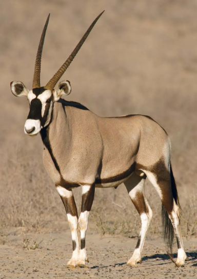
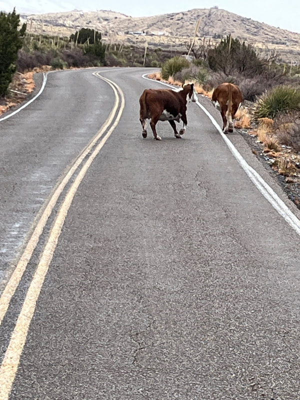
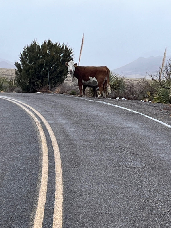
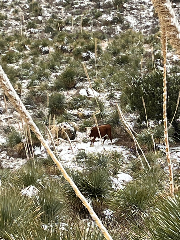
Reading the reviews of this trail, a couple people saw oryxes. These were brought in from the Serengeti decades ago and now they roam the area. I was hoping to see one, but alas, I did not. We did see cows. A couple, one a baby, even crossed the road in front of us.
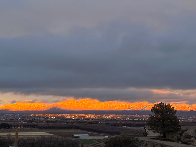
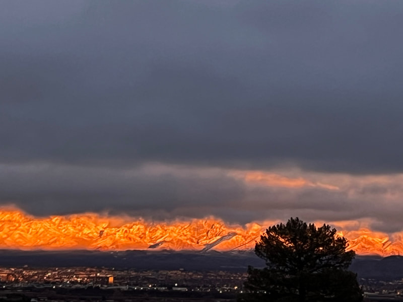
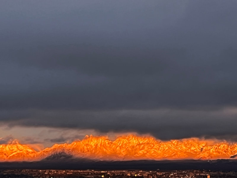
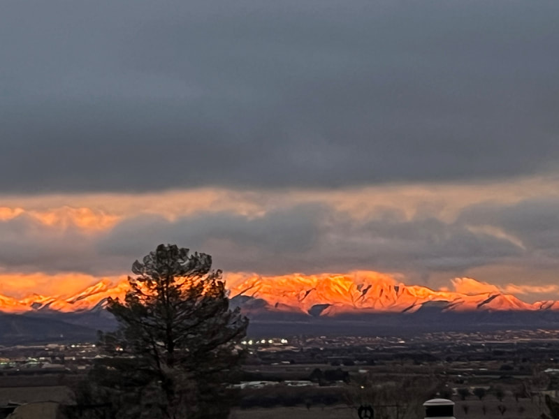
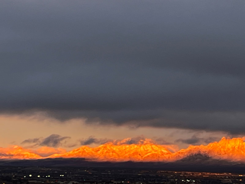
When we got back, the setting sun was hitting the mountains and the dark clouds were above. It looked like they were on fire!
